Auckland, New Zealand
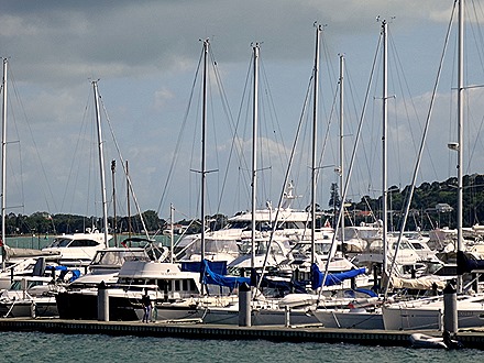
We arrived in Auckland on the morning of February 2. Auckland is by far the largest city in New Zealand with about 1.5 million people. We were docked in the middle of town, so you could walk right out the port gates into the city center.
The Auckland area was originally settled by the Maori about 700 years ago. They are Polynesians & came here from such islands as Rarotonga & Samoa. By the time the English came the Maori occupied pretty much all of New Zealand, which they called Aotearoa (land of the white cloud). They had a vibrant culture, which in recent years has been embraced & supported by the state, so that (for example) public signs are usually in both Maori & English & the libraries have books in English and Maori.
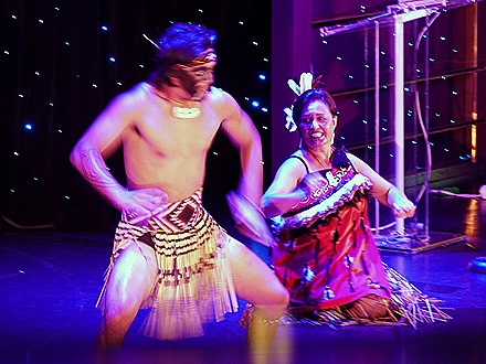
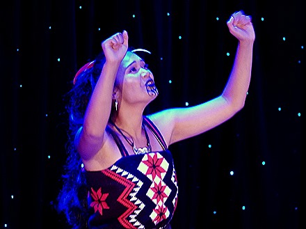
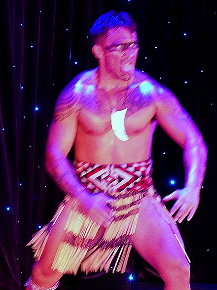
On our way to New Zealand there was a Maori cultural group on board Amsterdam, giving classes in language and dance and arts & crafts. They also put on a show of Maori song & dance.
Maori often have elaborate tattoos & many of their dances are aggressive, with much foot stomping & cries. Well known is the Haka, a Maori war dance that is performed before every game by their world champion rugby team, the All Blacks. It is characterized by bulging eyes and protruding tongues, which are supposed to be intimidating to the opposition, & I guess they are.
The last time we were here we walked to the War Museum, the library & the tower. You can see all that here:
https://baderjournal.wordpress.com/2016/02/22/auckland-new-zealand
This time we decided to ride the Hop On Hop Off bus around the city. So after breakfast we set out to find the bus terminal. But during breakfast we noticed right next to the ship a large crane, the top of which we couldn’t see from our table. This turned out to be a pop-up restaurant with a table & diners suspended in the sky from the crane. Its hard to believe the food was worth the $900 per person cost we heard, so it must be the thrill of eating suspended in the air with you chair over the edge. New Zealanders are known for this kind of thrill-seeking, but I don’t think it would be for us, even at a much lower price.
We found the HOHO bus just down the block from the old Ferry Building, built in 1912, right next to our ship. The bus took us across town & out to some islands. Auckland is built on 48 extinct (we hope!) volcanoes. The large island hill in the distance, Rangitoto Island, is the youngest one, having emerged from the ocean about 600 years ago. Must have been pretty scary for the Maori living in the area.
Coming back into town we drove past the Catholic Holy Trinity Cathedral & St. Mary’s Anglican Church, one of the largest wood churches in the world.
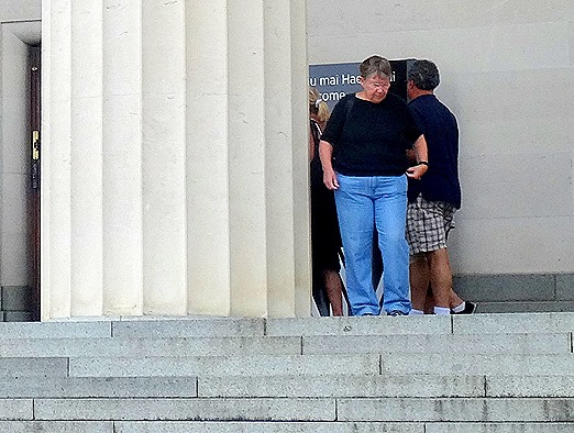
We exited the bus at the War Memorial Museum, a wonderful museum in which we spent hours last time. It was built in 1929 to commemorate the end of World War I & is now undergoing some renovation.
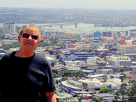
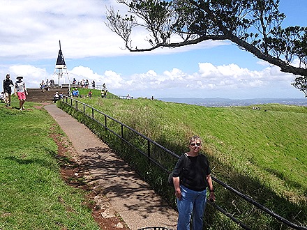
But this time we only stopped for a short time to transfer to the other HOHO bus line. This took us to near the top of Mount Eden, the highest spot in the city. Mt Eden is an extinct volcano and, along with One Tree Hill (now topped by an obelisk rather than a tree), offers the best panoramic views of the city outside of the Auckland Tower. We climbed to the top & the wind was so strong it felt like we would be blown away. It made picture taking very difficult.
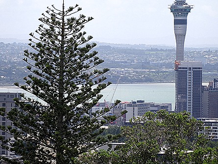
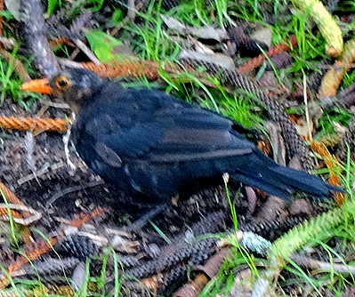
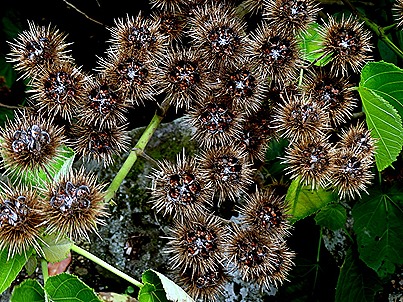
From Mt Eden we had a nice view of the War Memorial Museum. There was a stately Norfolk Pine in the distance. We also saw an interesting black bird with an orange beak and some bushes with what appeared to be glowing thistles at first but upon closer inspection looked like a strange kind of flower.
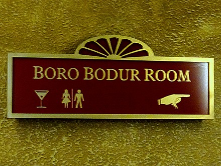
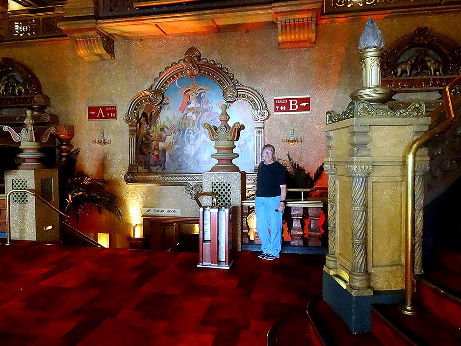
We left the bus in the neighborhood of Parnell, with a lot of restaurants & boutique stores. We had a delicious pizza for lunch then started walking back to the dock. On the way we visited the Civic Theater, built in 1929 as an elaborate movie palace, complete with elephant & crocodile motifs. It even had a Bora Bodur Room, named after an ancient Indonesian Buddhist temple we visited on our last world voyage. Altogether it was interestingly over-the-top.
We walked back to the dock, detouring along the way for some shopping. But the area was in disarray from construction so we didn’t find much. We stopped in the Ferry building for gelato (our first of the trip!) then back on board. The sail away was during our dinner, so we didn’t get to see it. But there are some pictures of our 2016 sail away from Auckland in the episode linked to at the beginning of this post.
Alofi, Niue
Amsterdam anchored off the coast of the island of Niue early on the morning of January 28. Never heard of Niue? Well, you aren’t alone. This is the largest raised coral island in the world and also the world’s smallest sovereign state. Home to some 1500 people, give or take a hundred, it also boasts the highest percentage of elected representatives: 1 for every 65 people. There are actually twice as many Niueans living in Australia as on the island itself, and more than 12 times as many living in New Zealand. That exodus was probably exacerbated by Cyclone Heta, which devastated Niue in 2004 with 150 mph winds and 90 foot waves that cleared the island’s cliffs. Although independent since 1974, the islanders are citizens of New Zealand.
Many cruise ships miss scheduled stops here because of ocean conditions (no reef to protect the waters around the island). Our friend Bob, who has been on half a dozen HAL world cruises, told us that he had been scheduled to land here four times but had never made it ashore. But we did . . . two for two in difficult islands!
There were no shore excursions offered on this tiny island. In fact, this was a Sunday, which in Polynesia is a very serious matter with everyone attending church and businesses all closed down. We were told HAL had to negotiate with the islanders even to get permission to come ashore here on a Sunday. Fortunately, those negotiations succeeded, but still there was little to see or do since transportation was largely unavailable beyond walking down the one main road of Alofi, the nation’s capital and largest town.
So, after a leisurely breakfast, we tendered ashore. The Captain & his wife came ashore on the same tender.
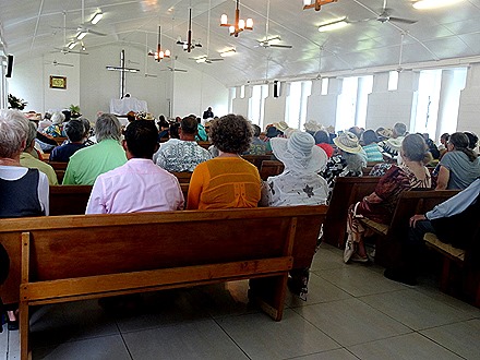
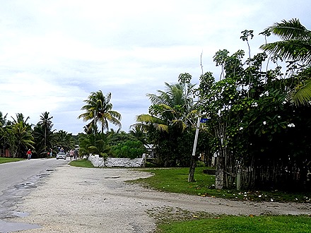
We walked up the winding road in the first picture above and walked to the right. There we found a church with services in progress. We had heard much about the beauty of the singing of Polynesian choirs so we walked over to the church. The singing was indeed nice, in four part harmony, but probably not what it usually is because about a third of the congregation was from the Amsterdam. Several dogs were lying patiently near the front door waiting for their masters to finish the services. Around the church was an interesting graveyard, with many graves decorated with fresh flowers. One grave stone looked like it had been split by lightning. We actually saw graves in many places in Alofi, some in people’s yards & others near the cliffs that border the water.
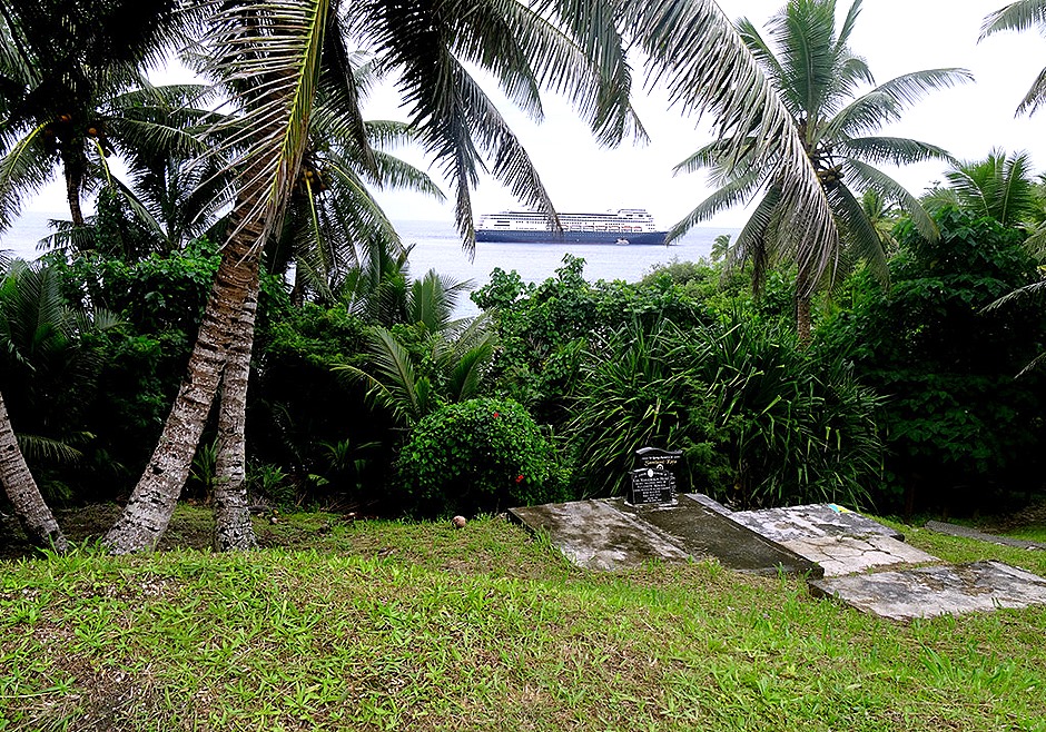
Behind the church near the cliff was a small area with a tomb in it. Rick walked out there, but wasn’t aware that this is apparently the resting place of two of Niue’s ancient kings. It had a fine view of the tender dock & the waves that constantly run in over the rocks nearby.
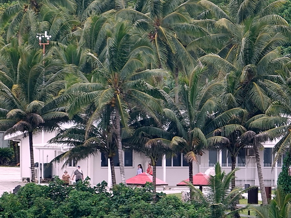
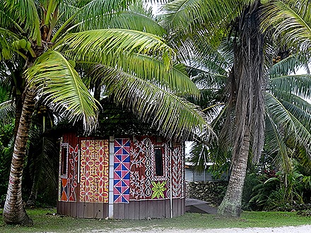
Walking up the road from the church we passed the seat of Niue’s government, a colorful hut built for an art exhibition a few years ago and more nice sea views. Very little was open, just the tourist information stop, a small shop advertising DVD rentals (we were told it actually had no dvds) & a couple of restaurants. The tourist information shop had souvenirs and postcards for sale, but not much else was to be had. We continued up the road.
Finally we found the one historic spot in these parts. In 1774 Captain Cook found this island and tried to come ashore. On the third try they set foot on land. But although he brought trinkets & gifts he was driven off by spear throwing islanders with what he thought was blood around their mouths but was actually a red plant dye. He named this “Savage Island,” claimed it for England & sailed away. No other Europeans attempted to land here for another 80 years, when missionaries finally set up shop. The place where Cook tried to land is called “Opaahi Landing.” It was a very steep & slippery climb down from the road to the landing spot, so Mary stopped about halfway & Rick went all the way down to this picturesque spot.
While there wasn’t much here in the way of sights, we did see some flora & fauna while walking through the town and its outskirts.
One of the more dramatic aspects of Niue is the tall cliffs that line the water. They appear to have been worn away at the bottom only by waves, which gives them an unusual aspect of hanging out over the water. Quite beautiful.
We tendered back to the ship for the sail away. We were glad we had a chance to see this remote and not often visited island, but it is not one we would go out of our way to visit again. Unlike the others we have visited on this cruise, Niue lacks mountains or other distinguishing geographic features and the view as we sailed away was flat & uninteresting.
Avatiu, Rarotonga
On January 26 we were scheduled to stop in Rarotonga, the largest of the Cook Islands. These islands are “associated” with New Zealand, which means they use NZ currency & New Zealand handles their foreign affairs, but internally they are self-governing. In 2016 we visited here, but one of the tenders was shipwrecked on a coral reef, resulting in some injuries & expense to Holland America, including the Captain having to go to the Netherlands for an inquiry. You can read all about that incident (and our visit to Rarotonga) here:
https://baderjournal.wordpress.com/2016/02/17/rarotonga-cook-islands
As a result of all this, it was quite clear that the Captain would not send in the tenders unless conditions were quite reliable. During our sea day there were some sizeable ocean swells, so it didn’t look good for a visit. Ships often miss this port because of sea conditions (there is no reef creating a calm water space around the island, as there is in Moorea & Bora Bora); most recently just a few days before we arrived. The Cook Island newspaper had an article (edited by me) anticipating our arrival:
____________________________________________________
Cruise ship to call, weather permitting
With the scheduled arrival of the cruise ship MS Amsterdam this morning, local tourism operators are praying for a good weather so passengers from the cruise ship are able to come onshore.
The cruise ship which belongs to Holland America Line, an American/British owned cruise line originating in the Netherlands, will stay in Rarotonga for a day, leaving later in the afternoon.
It is expected to be off Avatiu harbour at around 7am.
Turama Pacific Travel’s Nina Webb said 340 passengers were booked for various tours during the day.
Webb said they were hoping for a better weather to allow the local tourism operators to maximise on MS Amsterdam’s Rarotonga tour.
On Friday last week, some tourism operators suffered a loss of business after efforts to get passengers onshore from the cruise ship Viking Sun proved futile. The cruise ship, with 930 passengers aboard, arrived on early Friday and was to call at Avatiu, but high swells made it difficult to get passengers onboard the cruise tender.
The ship was then directed to the Arorangi jetty where the sea was much calmer, but the passage through the reef proved too narrow for the tender to get through safely.
“We hope the weather is good enough to allow passengers from the Amsterdam to come onshore and enjoy what Rarotonga has on offer for them.”
Fourteen different ships will visit six of this country’s islands in 24 separate voyages, this year.
__________________________________________________
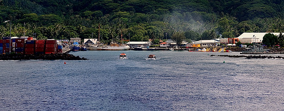
We arrived off the coast at Avatiu early in the morning. To make a long story short(er), the Captain maneuvered the ship around to protect as much as possible from ocean swells, then after lengthy consideration they lowered the tenders & tender platform. So we were going in (yay!).
We were on a HAL excursion so we were sent into the first tender. As luck would have it, this was the same tender that had been shipwrecked in 2016. Our friends Bill & Robert, who had been on the tender for the incident in 2016, were on the same excursion. From the look on Robert’s face we weren’t sure he would board the tender, but he did in the end. Boarding the tender was unusually treacherous, since it was going up & down several feet in the waves, and also drifting several feet away from the platform then smacking back against the platform again. So the crew helping people board were repeatedly yelling “hold on” as we hit the platform. It took a while, but everyone boarded & we sailed for the harbor. We noticed that while loading the next tender they had a second one acting like a tug, pushing the tender against the platform so it couldn’t drift away & back.
Because of the treacherous conditions the Captain had restricted tender access to those who could walk on their own, or with easily portable assistance (like a cane). We were told that one fellow wheeled his wife to the tender bay in a wheelchair and loudly demanded that she be admitted to a tender. With fully mobile people finding it so difficult to board the tender there was no way a wheelchair could have done so safely. Reportedly, he actually said (this is kind of a running joke on board) that he had paid a lot for this cruise (who hadn’t ?) & resented being denied access to this island. He was properly told to take it up with the Captain. You see a whole lot of strange behavior on a cruise ship; if you have a relaxed attitude this is one of the more entertaining aspects of life on board.
We boarded open trucks for a trip around the island and into the mountains. Unfortunately, three people hadn’t made it on time for the first tender, so we didn’t leave for about half an hour as we waited for them to arrive on the unusually slow tender service today. This had consequences for everyone on the tour later; we would have left them since it was their own fault they didn’t get themselves to the meeting point for the first tender on time. But lucky for them it wasn’t up to us. Finally, we all boarded the back of the trucks & drove through some rough landscape to reach a high viewing point.
Before we get to the tour, however, we wanted to mention one of the musicians on board. Hyperion Knight is a Julliard trained pianist from California. He put on three shows during his stay, including some truly virtuoso piano performances and some entertaining music history. But on most days he also performed informally in the Explorers’ Lounge. He called it practice, but he took audience requests & interacted with his listeners. Very unusual and a nice bonus.
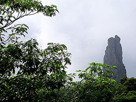
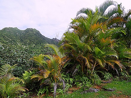
Getting back to our story, we drove through some very rough & steep terrain to a viewing point in the mountains. At one point on a very steep climb the back door of the truck flew open & a step stool fell out on the road. Fortunately the passengers at the end were able to hold on and stay in the truck, because the driver wasn’t stopping for anything; if he had stopped he probably would not have had the momentum to make it to the top. At the top he stopped, then walked down the hill & retrieved the step stool. The viewing point was worth the drive & gave the closest view available of “the Needle,” a rock formation near the top of the tallest mountain.
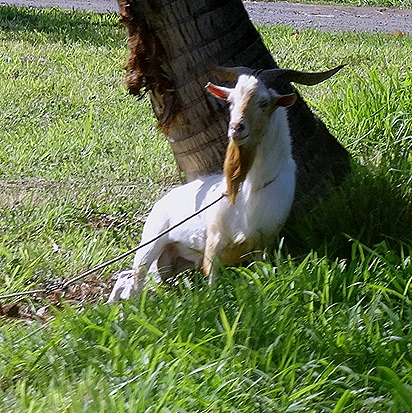
We drove down from the mountain, the highest point vehicles can reach, to the only waterfall on the island. Called “Papua Vai Rere,” we were told that this was where women came to bathe in the old days. Men were not allowed. On the way we passed a goat & a bust of what looked like a Roman sitting on a pillar, weirdly placed in the middle of the jungle. Go figure.
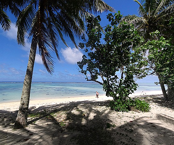
After a long drive across the island, passing the hospital (why?), the jail & the airport, etc., we visited a large & beautiful beach with water so clear you could see the fish swimming under the surface.
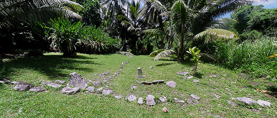
We went to see an ancient marae, a sort of platform that was sacred to ancient Polynesians on all of these islands. This one, called Arai-Te-Tonga, was the site of the royal court of the Makea tribe, built shortly after they first settled Rarotonga round 1350 AD. These sites are still considered tapu (taboo).
Because of our late start, they skipped the site we most wanted to see: the place where the sea canoes left to settle New Zealand. It was on the tour program & even announced at the beginning of the tour, but in the end they drove us back to town from the marae. We were not happy campers!
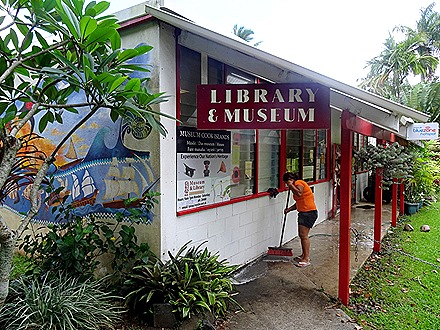
Back in town, we set out on foot. Our primary objectives were the local libraries. We found the town’s public library first, but it was closing so we only had a minute inside. It is quite small & unassuming with very few bookshelves. But it has a colorful mural on one outside wall.
We walked on to find the National Library. It wasn’t far away but was tricky to locate. It is in a much larger cultural center complex, amid lush greenery. It is bigger than the local public library, but not much.
Near the libraries was a lovely small “Peace Garden.” There was also a church with a cemetery & a tsunami warning instructing you to seek higher ground if there is an earthquake. We walked by the University of the South Pacific, which we think may have been the first university in Polynesia. There were a lot of trees near the church with huge trunks & roots but very delicate leaves.
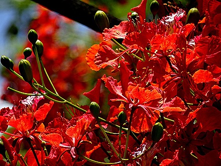
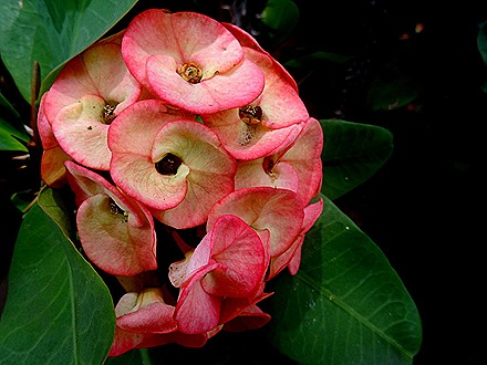
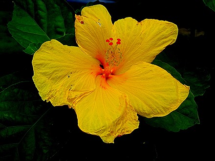
Rarotonga is a very lush island, so there are a lot of beautiful flowers all over. Here are some.
We also saw some distinctive Polynesian stone sculptures.
After walking through town & visiting some shops we headed back toward the tender dock. On the way we passed a building with an interesting wall painting and a “fish tree.” Unique to the Cook Islands, a fish tree is used for fishermen to display their catch for sale. The fishermen sew their catch together in what is called a “tui,” then hang it from the tree. This large tree has been used for this purpose for many years.
At the dock we passed a water playground ($20 per hour), then boarded the tender for the much easier ride back to the ship.
So that was all, after a very full day on Rarotonga, an island we didn’t expect even to be able to visit when we arrived this morning. We sailed away toward another island that is often missed by cruise ships because of iffy ocean conditions. Would we get lucky twice in a row? Tune in next time to find out.
Viatape, Bora Bora
This was our first visit to Bora Bora, an island Rick has wanted to visit since he read James Michener’s Hawaii when he was in high school. So he was out on deck early on January 14 for the sail in. Curiously, not many passengers were out this morning for what turned out to be a pretty spectacular approach with the sun rising behind the big mountain that dominates the island.
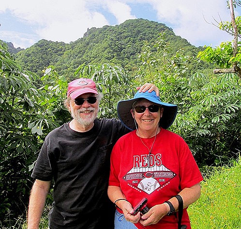
I’m sure I am not the first to notice this, but this huge island mountain made me think of Bali Hai in the movie South Pacific. Which is not far fetched since Michener spent time on this island while in the Navy during World War II before writing the book on which the musical & movie were based. But Bali Hai is undoubtedly an amalgam, since the view of Moorea from Tahiti is also reminiscent of the movie. Our friend Peggy was on deck for the sail in too, and a nice fellow passenger offered to take our picture, undoubtedly under the impression we were a couple.
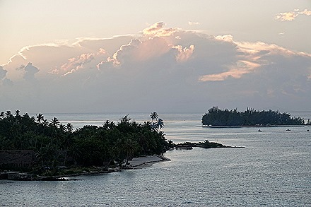
We anchored surprisingly close to shore & could see the town of Vaitape clearly from the ship. We could hardly wait to get there, it looked like such a beautiful spot. On an island across the water from the town was an abandoned resort that looked like it might once have been quite a nice place to stay.
Our plan was to explore the town during the morning, then we had an open truck tour of the island scheduled for 2:00. So after breakfast we took the short tender ride into town, where we were greeted by a musical group.
The town as a whole was a real disappointment. It was small & crowded with commercial buildings. The traffic was unrelenting on the one road in the town & there was a very touristy commercial vibe, nothing like what the island looked like from the water. Of course, the touristy vibe was emphasized by the hundreds of tourists who poured into this tiny town, constituting the majority of people on the street.
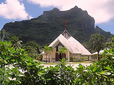
There were two interesting churches in town. One was pink with a red roof & steeple, which looked nice in front of the green mountain. We aren’t sure what denomination it is, but the other one may be Catholic since it had stations of the cross inside. The second church was less attractive from the outside, but inside was a large window with stained glass around the sides, painted images in the middle & a number of clear glass panes that allowed a view of the mountain behind. Very interesting.
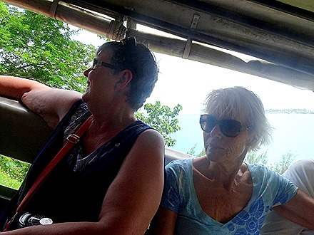
We wandered up the street & back, perusing shops & art galleries but finding nothing we wanted to purchase. We went back to the ship for lunch, then tendered back to the pier in time for our 2:00 excursion. There were eight folks in the truck for this outing. The roads on this island were built by the U.S. Navy, which maintained a supply base here during World War II. We found that many of them go straight up a mountain, no switchbacks or zig-zags, so we had to hold on tight to avoid sliding into the next person’s lap. But it was fun.
While some of the travelling was a little rough, the lookout spots on the mountains were well worth it. Bora Bora has a particularly wide lagoon inside its reef & our guide told us there are 14 colors of blue in the water here. While we didn’t count them, we believe it because we saw a lot of shades of blue on our short visit.
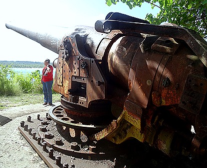
During World War II the US Navy had an important supply operation on Bora Bora. To protect the island several large cannons were put in place on the mountainsides. There was never any actual fighting here, however, so the guns were not used. But they are still there and we visited one of them.
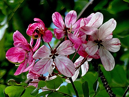
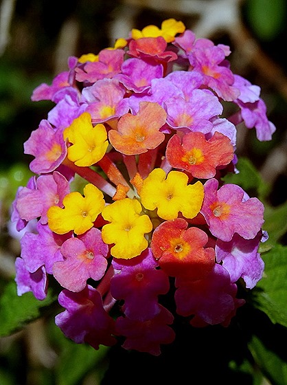
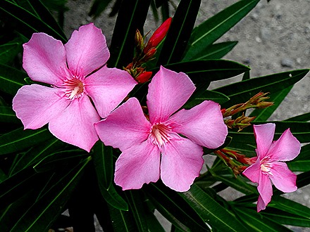
At the gun site were several reddish flowers lying on the ground, having fallen off a tree. We were told that these were a type of Hibiscus. The flower lasts only one day: it opens yellow in the morning, turns bright red in early afternoon, then turns dark red & falls off before evening. It sounds kind of sad, really. We saw a lot of other nice flowers on this lush island, so there are some more pictured below.
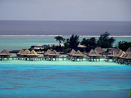
We stopped at a beach & also drove by several of the expensive resort hotels with glass bottom bungalows over the water.
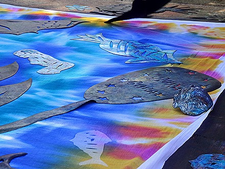
We stopped at a place where they were making pareos, decorated Polynesian cloth that can be folded to wear as a skirt, dress, shawl, etc. Many are printed in bright designs, but the more interesting ones are sort of tie-dyed, then left in the sun with decorative linoleum cutouts on top. The exposed dye is activated by the sun in a way the covered dye is not, giving the design (often including the name of the island) a varied & colorful design. Pareos are everywhere in Polynesian shops.
We returned to the dock & tendered back to the ship. Here are a couple of miscellaneous pictures that didn’t fit anywhere else.
In 2016 we had a number of cook-outs on the lido deck, which were fun. But last year the health inspectors nixed that for some reason, so now they have “cook-ins” in the lido buffet and you can take the food out on the deck to eat. This isn’t nearly as much fun. But tonight there was a Polynesian cook-in at the Lido, complete with suckling pig & drinks sipped out of coconuts. We ate in the dining room.
Sunset was behind an island, but Bora Bora itself was bathed in sunlight.
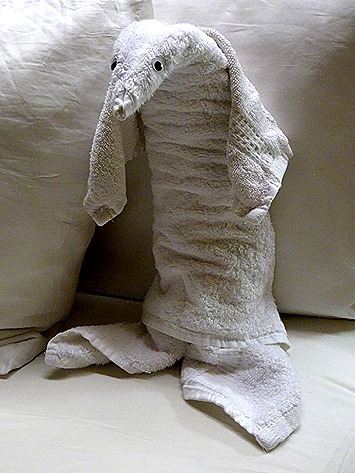
We sailed away from Bora Bora looking forward to a relaxing sea day (finally after 4 consecutive ports). The sky was clear, the moon was bright & of course there was a towel animal at bedtime.
Opanuhu Bay, Moorea
We left Tahiti around 5:00 AM for the short sail to Moorea, approaching the island shortly after sunrise. Moorea has two large bays parallel to each other: Cook’s Bay & Opanuhu Bay. We had been told, right up to bedtime the night before that we would be anchored in Cook Bay this time but as we emerged on deck for the sail in we discovered it was Opanuhu Bay, the same as last time. It is an amazingly beautiful spot, but we (and others) had been hoping for something new. 
In 2016 we enjoyed a 4X4 excursion through the mountains & pineapple groves of Moorea, and you can see that here:
https://baderjournal.wordpress.com/2016/02/16/opunohu-bay-moorea
So this time we decided to take it easy by tendering ashore and hiking down the road toward the bay. So, after breakfast in the dining room we boarded a tender to go ashore. We sat by the rear windows during breakfast where a crew member was hanging on a rope outside washing the windows. We were glad to be on the inside.
We walked out of the little village at the tender port, which seems to be named Papetoa, then turned left toward the bay. They have recently upgraded the road so that it is paved & fairly smooth going. It was a very nice day & there was a lot of great scenery every way you turned . . . mountains, palm trees, etc.
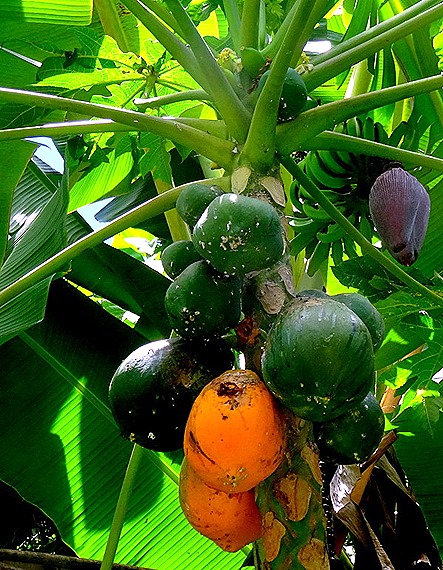
We passed bananas, breadfruit, mangoes & coconuts growing on trees. There was also a fruit stand in front of someone’s driveway, but no one was manning it. Maybe it’s an honor system.
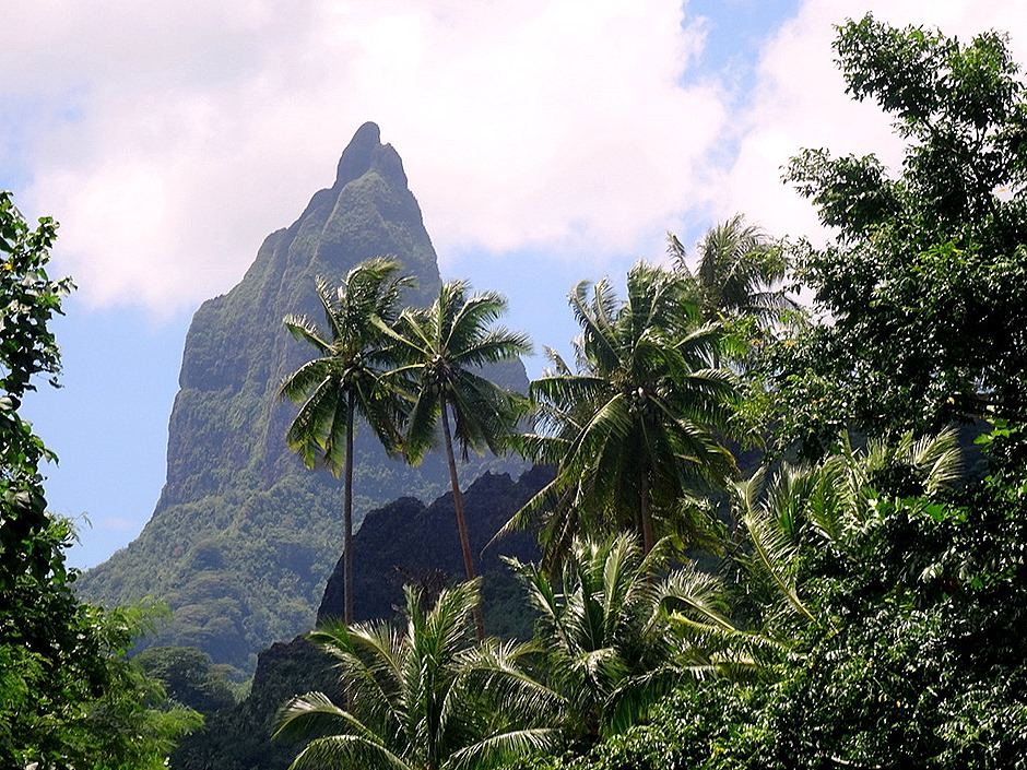
As we neared the bay we had views of the ship and of the pointed peak in the middle of the bay shore.
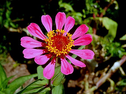
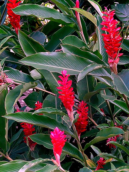
We saw a lot of flowers along the road to the bay. Here are a few of them.
We were walking along the road on our way back to the port when suddenly a horse stepped out of the brush right in front of us. She wasn’t the least bit afraid, and a moment later her two foals followed her out. They grazed by the road as we continued on. We also passed a goat, working hard at keeping the grass short in someone’s yard. A bird hopped up on the goat’s back, but the goat didn’t seem to notice. We also walked past the local school before reaching the tender port.
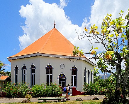
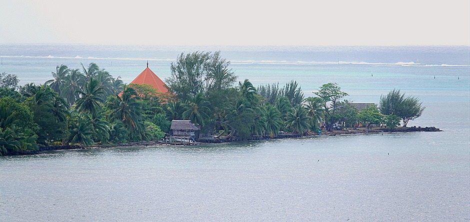
In Papetoa (if that is the right name for the tender port village) is a small octagonal church with a bright orange roof. We were hoping to go inside this time (it was locked in 2016), but no dice. We were told that this was the first church in Polynesia, originally built in the first half of the 19th century. We saw a tile mural that centered on this church. There was a market set up at the pier, about the best place we have seen to buy nice black diamond jewelry, as well as tee shirts & other items.
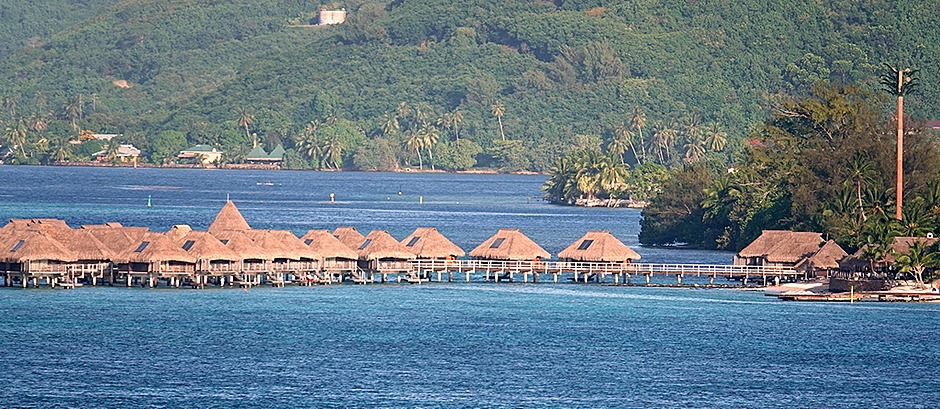
Waiting on deck for the sailaway, we saw a number of outrigger canoes in the water near the ship. There was also a resort hotel nearby with cabanas over the water. These are available for visits (for a whole lot of money) on several of the Polynesian islands we visited.
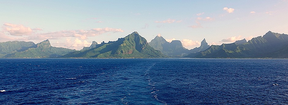
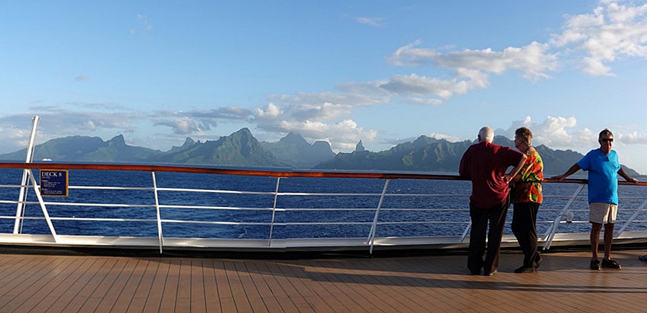
We sailed away well before sunset. As we did so we saw another ship, a small Europa vessel, sailing out of Cook’s Bay. Apparently they were given the port position there that Amsterdam had anticipated using. Moorea is probably the most beautiful island we have seen, lush green craggy mountains & a calm blue lagoon surrounded by a reef where the surf breaks. As we sailed away in the evening we appreciated the view once again.
It was too early for a real sunset, but the sun did dip dramatically behind some clouds. And after dinner a towel animal was waiting for us as we hit the sack to prepare for an early morning arrival at Bora Bora, the last of our four consecutive port days.


