Matarani & Arequipa, Peru (2019)
January 18 found us in the port of Matarani, on the edge of the Atacama desert. This is one of the driest areas in the world. When we were here in 2012 we were told that there is a town not far away where no rain has ever been recorded. You can see that earlier visit here:
https://baderjournal.com/2012/01/20/general-san-martin-matarani-peru/
There is not much to see or do in Matarani beyond its scenic coastline, so we signed up for an excursion through the desert to Arequipa, a city of more than 800,000 located more than 7,500 feet high in the Andes.
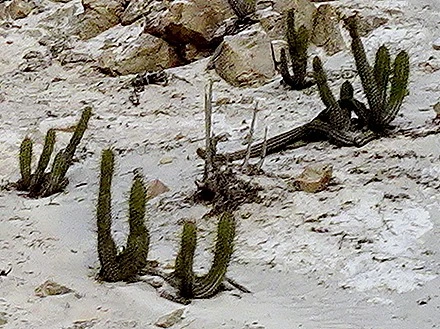
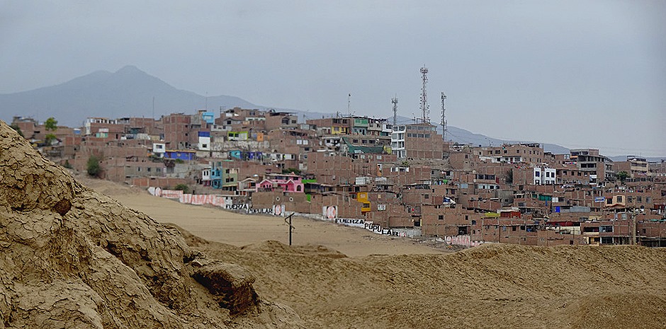
We drove through the desert & mountains for many miles, about an hour and a half each way. There was a lot of cactus among the mostly barren mountains. There had recently been an election and party logos were painted right on the mountain rocks, a desecration that probably won’t go away soon.
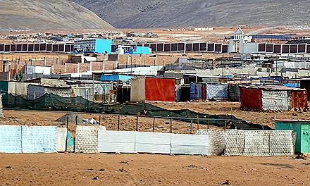
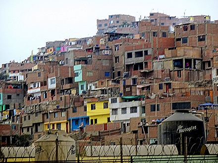
As we crossed the high desert we passed several settlements of shanties. These shacks were built by squatters and many have no access to running water or electricity. But the government has a program permitting these people to buy the land they are living on for, if memory serves, $150 that can be paid over time. Eventually water and electricity will be provided as well, though it can take a long time. Its hard to imagine living in these conditions unless you are pretty desperate.
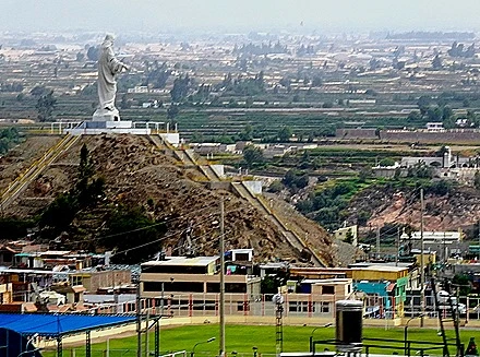
Finally we reached Arequipa, driving into town past terraced fields built before the coming of the Inca in the 15th century and a giant statue of Jesus overlooking a neighborhood. We also saw shanty towns reminiscent of the ones we saw in Lima.
Archaeological evidence indicates that the location of Arequipa has been occupied by people for at least 10,000 years. Legend has it that when the Inca arrived here in the 14th century the soldiers liked the area so much they asked their king, Mayta Copac, if they could stay here. He replied “Yes, stay,” which in the Inca’s Quechua language is “Ari quepay.” Thus the name of the city.
The Spanish under Pizarro founded their city here in 1540, usurping the natives. This is Peru’s second largest city (less than one tenth the size of Lima) and the residents have a reputation for condescension toward other Peruvians. It also has a history as a right wing political stronghold.
We left the bus at Mundo Alpaca, where we learned about the production of alpaca products. There were several llamas and alpacas that we were encouraged to feed, including a baby llama born just the day before our arrival. Llamas and alpacas are difficult to tell apart without some familiarity with the animals.
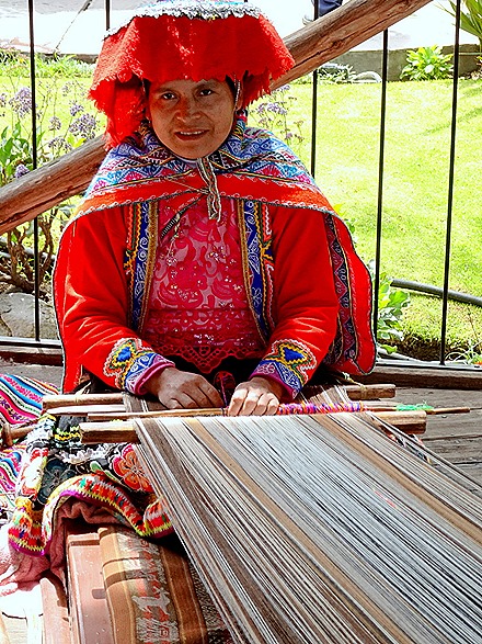
A woman in traditional attire was demonstrating how they weave the wool & there were examples hanging on the wall. The designs are very intricate & it looks like demanding work.
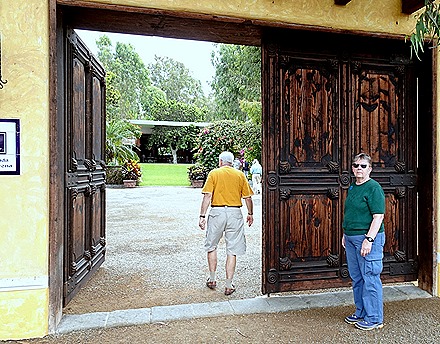
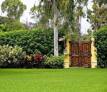
Then came the main event: the gift shop. It featured alpaca yarn and finished sweaters, coats, etc. Nothing was cheap! We spent some of the time wandering through the gardens.
From Mundo Alpaca we walked to the Plaza de Armas. Arequipa is known as “the white city” because so many of its buildings are constructed of white lava blocks called “sillar.” The city is actually surrounded by three volcanoes, one of which (El Misti) is still active. We have read that this is the signature aspect of Arequipa, with the volcanoes rising to more than 20,000 feet (more than 10,000 feet above the city) behind the buildings of the town. But on the day we visited the low cloud cover made the volcanoes completely invisible (sigh). If we hadn’t read about them we would have left Arequipa without knowing there were any high mountains, much less volcanoes, near the city. So when you see the clouds above the buildings in the pictures, imagine the spectacular mountains behind them.
As we walked to the Plaza de Armas we passed the Monasterio de Santa Catalina,a convent established in 1580 and one of the most important religious buildings in Peru. There are still a few nuns living there and it is supposed to be quite interesting, but we didn’t have an opportunity to go inside. Like many of the buildings here it is constructed of sillar blocks, the white stone created by nearby volcanic eruptions. Outside the convent was a woman selling hats.
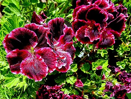
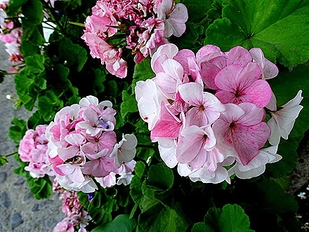
Arequipa has a really nice Plaza de Armas, full of flowers & palm trees with a bronze fountain in the middle. One side of the plaza is occupied by the cathedral & the others by rows of arched portals looking like cloisters and containing shops and restaurants.
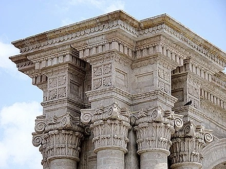
The first church in Arequipa was begun in 1640 at the founding of the city and was consecrated in 1556. It was destroyed by earthquakes in 1583 and again in 1600, when reconstruction was almost finished. Completed again in 1656. it survived three more earthquakes & a damaging fire, then in 1868 several parts of the cathedral were seriously damaged by yet another earthquake. Finally an earthquake in 2001 destroyed the left tower & damaged the right one. Restoration of the cathedral to its current state was completed in 2002. But really, with that history, how long can it be before it happens again?
The cathedral was closed to the public all afternoon until 5:00 PM, almost as if they wanted to exclude any day visitors to the city from entering. But the façade was quite impressive, dominating the Plaza de Armas.
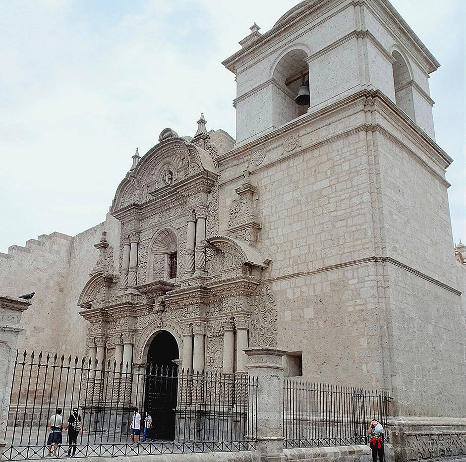
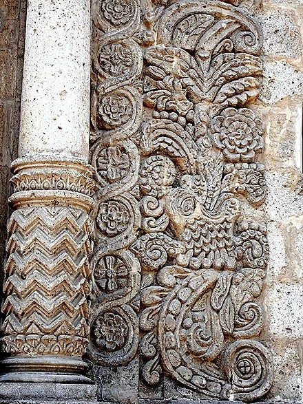
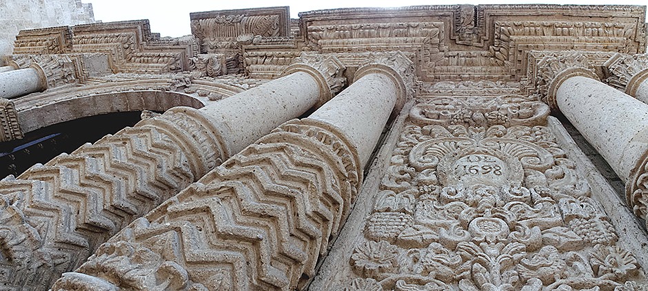
Across the plaza from the cathedral is the Jesuit Iglesia La Compana (church of the company), much smaller than the cathedral but open to the public and quite beautiful in its own right. Originally built in 1573, destroyed by (what else?) an earthquake in 1584, then completed again in 1660, it has a fabulous doorway façade that was completed in 1698. It is sculpted from stone in the intricate Mestizo Baroque style, considered one of the finest examples of that style. The work force was comprised primarily of indigenous people and their local flora and fauna are included in the stonework and decorative work inside.
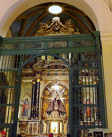
Inside the church was quite elaborately decorated, with an impressive carved and gilded altar under a dome with skylights built in. It is filled with old sculptures & paintings and has a number of side altars (the one pictured below appears to be dedicated to St James the apostle).
We spent about an hour walking around the vicinity of the Plaza de Armas before it was time to go. We visited some shops & had an ice cream cone. It started to drizzle at the end of that time, so we walked to the bus to begin the long ride back to Matarani. Herewith a few random photos that didn’t fit in anywhere else.
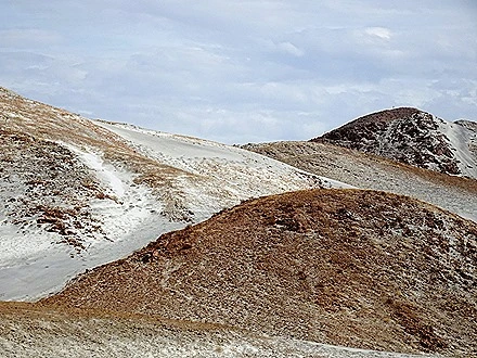
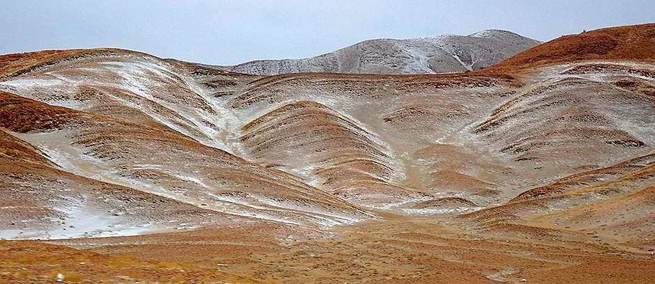
We drove back to the pier through the mountains, pretty much the same route by which we had come but it seemed much longer because we were a lot more tired. The mountains were a rich color of brown, largely devoid of vegetation, with what looks like snow on the top and sides of many of them. This is not snow, however, but the white ash from the volcanoes, the same stuff as the sillar blocks in the city are made of.
Back at the port we got some needed rest before it was time to sail away. The shore line is quite beautiful, boasting cliffs, desert & mountains. There were fishing boats in the harbor near the ship. Altogether, this was a very full and interesting, but very tiring, day.
Lima, Peru–Day 2 (2019)
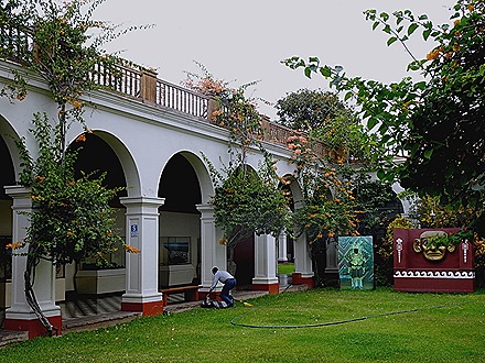
We got up bright and early on January 16 for our second Lima excursion. Our first visit was to the National Museum of Archaeology, Anthropology & History of Peru. It was Peru’s first public museum and has the biggest collection, although the items we saw on display weren’t all that numerous. The museum is housed partly in an 18th century mansion where Simon Bolivar and Jose de San Martin both stayed (but not at the same time). In front is a huge bust of Bolivar, a gift from former Venezuelan president Hugo Chavez, and the courtyard has many colorful flowers.
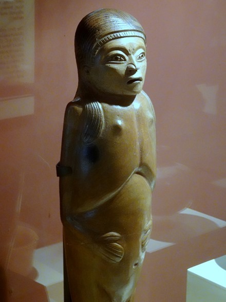
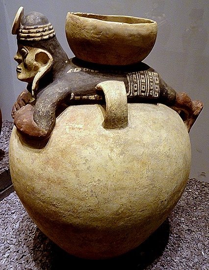
The museum’s collection contains many thousands of artifacts reaching back before recorded history, to at least 10,000 BC. It includes textiles, a great deal of pottery and even a recreated burial site.
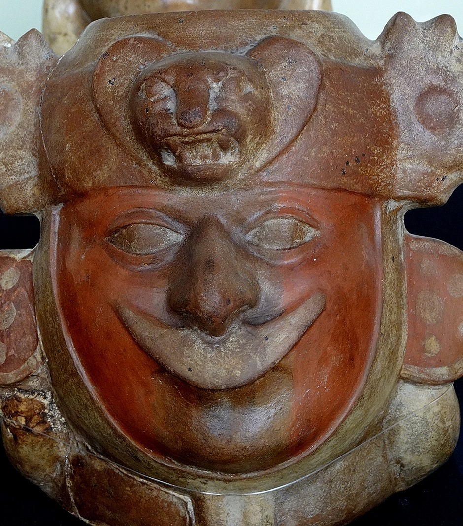
Most of the rooms we visited contained collections of pottery from the Incas and several pre-Inca cultures. Each is listed separately below.
Nasca Pottery
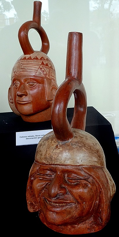
Amazingly realistic Moche Pottery (this is the culture that built the Temples of the Sun & Moon in Trujillo):
Recuay pottery:
Wari (or Huari) pottery:
Inca pottery:
Chimu pottery (this is the culture that built Chan Chan in Trujillo):
This was a very interesting museum and we wished we had a good bit more time here to explore it in greater depth. But our time was limited because we had to proceed to our next stop, the ancient ruins of Pachacamac. This is an important archaeological site & the main reason we chose this excursion. On our last visit here in 2012 we were on a private excursion that was supposed to include this site but when we reached the gates they were locked because an important automobile rally was scheduled to pass nearby. So better late than never!
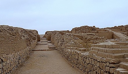
Pachacamac apparently began around 200 AD and was dedicated to the local creator god Pacha Kamaq. It was a site of pilgrimage & was occupied by a succession of cultures until 1470, when the Inca took over. The Inca incorporated Pacha Kamaq into their pantheon, subordinate to the sun god, and built several new buildings at the site, including the massive Temple of the Sun.
Francisco Pizarro sent his brother Hernando with 14 horsemen to pillage Pachacamac of all the gold and silver he heard was kept there, but none was found. Legend has it that the priests received advance warning and hid a great deal of gold and silver objects, but they were hidden so well they have never turned up. Anyway, a disappointed Hernando and his men trashed the place and it lay fallow until the end of the 19th century when archaeologists showed up (and found a lot of it had been plundered by looters). As at so many of these sites, a great deal of “restoration” has occurred, so that a lay visitor cannot really tell what is original and what is a modern reimagining.
We briefly visited several of the structures at Pachacamac. First was a pyramid with terraces connected by a central ramp. This was an administrative center and/or possibly a palace.
Calle Norte-Sur (North-South Street) was a long street providing important access to the pyramid.
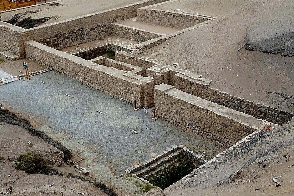
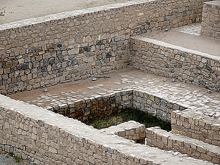
The Mamacona complex was built by the Incas to house the virgins of the Sun Temple. These women were picked out at a young age and taught skills like textiles and gardening. They serviced the temple and periodically were sacrificed in an important religious ceremony. A couple of llamas were hanging out nearby.
And here are some random ruins we can’t identify any more.
Lima is home to vast squatter settlements called “pueblos jóvenes,” or young towns. Lima has experienced rapid growth from folks moving in from rural areas, particularly during the war with the Shining Path guerillas during the last two decades of the 20th century. In the 1930’s Lima had about 300,000 inhabitants, rising to about a million in the 1950’s. Today there are some 11 million people here. Many of them live in these shantytowns, many lacking water and electrical service (except what is pirated through patched in lines). There was a very large one (or maybe several of them) right next to Pachacamec.
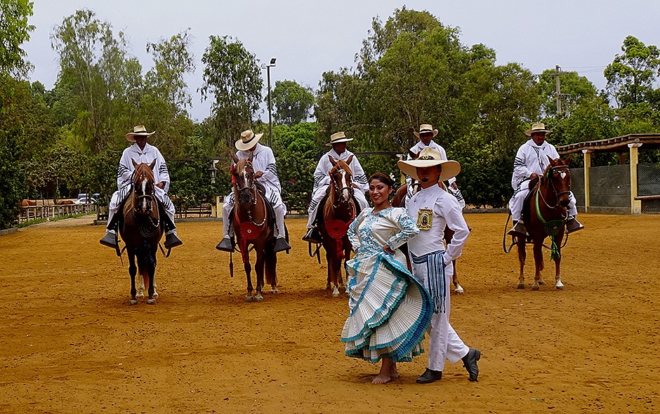
We had lunch at Hacienda Mamacona, presumably named for the Pachacamac structure that is right next door. Peruvian Paso horses are bred here and we were treated to a show of horsemanship and dancing. The grounds were beautiful, with many lovely flowers.
Paso horses are descended from the ones brought here by the Conquistadors. Apparently due both to natural selection in this isolated desert area and breeding by owners, these horses have developed a natural four beat gait that gives a very smooth ride. They walk, rather than trot, and their backs remain steady enough that no posting (bouncing in the saddle) is necessary. They brought out a month old colt, too young to train, to demonstrate that this gait is natural and not learned. This characteristic was valued by the folks here who had to travel for days to cross their plantation lands. The horses tend to lift their front feet high as they walk, and some move them outward at the same time. A brass band played while the horses went through their routines.
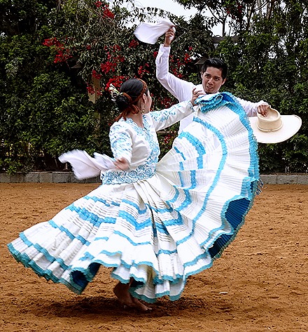
There was a dance performance in the horse ring, then a dance between the woman & a mounted rider (which was a little weird).
The dancers and band were back, performing on a wooden stage platform, while we had a delicious Peruvian meal. Some of the dances appeared to be the same as some we saw the night before on the ship. Altogether a very enjoyable visit.
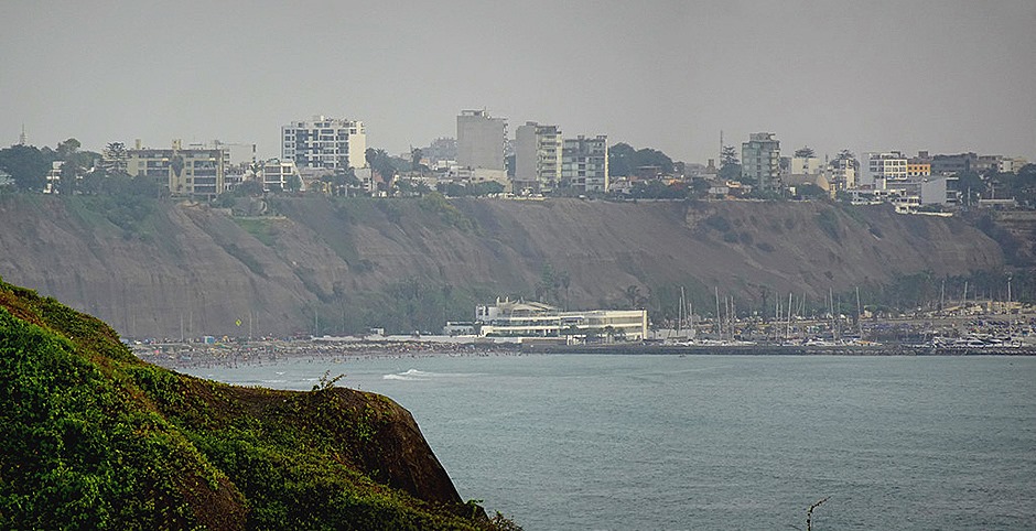
We drove back to the ship through Lima’s still congested traffic, passing through Miraflores for one final view of the beach below the cliffs. Thus ends our extended visit to Lima, as we retired a bit early because we had a long excursion scheduled for the next day in Matarani, Peru.
Lima, Peru – Day 1 (2019)
We pulled into the harbor in Callao, the port for Lima, around noon on January 15. Callao is an old city in its own right, having been founded in the early 16th century and served as Spain’s primary west coast treasure port for quite a long time. The Spanish retreated into the fort here (which is still there, though we didn’t see it) near the end of the war for independence in the 1820’s. Today it is a commercial port, although we passed some fishing boats on our way in.
Lima is by far the largest city in Peru with some 11 million inhabitants. It was founded in 1535 by Francisco Pizarro who planned the street layout himself. You can see our last visit here in 2012 here:
https://baderjournal.com/2012/01/19/lima-peru/
With half the day gone before we arrived we decided to take an excursion to see the Plaza Mayor, also known as the Plaza de Armas, the historic center of the city. The bus trip through Callao was unexceptional (apart from the dense traffic), but we did get a few random pictures through the bus window on the way. In Peru one often sees fully inhabited buildings with rebar sticking out the top like there is more to be built. This is a graphic example of the law of unintended consequences: because unfinished buildings are not taxed, people often leave their buildings visibly “unfinished.”
Our route through Lima took us through two important plazas. The first was Plaza Dos de Mayo, named after an important battle in 1866. It is situated near what was once the city wall and in the center is a statue topped by a figure of Nike, created in France in the 1870’s. Its outstanding characteristic upon passing through was the bright blue buildings.
The second square was Plaza San Martín, named for General Jose de San Martin, liberator of Peru in the 1820’s. The plaza was dedicated in 1921 on the 100th anniversary of Peru’s independence. In the center is an equestrian statue of General San Martin. On one side of the square is the venerable Hotel Bolivar, which has hosted numerous important diplomats and movie stars. The Rolling Stones were thrown out of this hotel for misbehavior. Imagine!
We exited the bus and walked to an imposing Franciscan monastery called Basílica y Convento de San Francisco. This church is famous for being about the only building in central Lima to survive the devastating earthquake of 1746. We toured the museum in the convent but not the church itself. Photography was not permitted inside, which is unfortunate because it was filled with beautiful 16th century Spanish & Moorish tile work, as well as a number of paintings and frescoes of similar age. We did not get to tour the catacombs, which are famous for the elaborate designs made from the bones of some 70,000 people that were buried there.
We walked from the Convent of San Francisco to the Plaza Mayor. It was not far & we passed the church of Nuestra Senora de la Soledad on the way.
We entered the Plaza Mayor by walking past the Archbishop’s Palace, notable for its beautiful carved cedar enclosed balconies. Housing the residence and offices of the Archbishop of Lima, the current building was built in 1924 on land set aside by Francisco Pizarro in 1535 for the residence of the head priest of the city.
The Plaza Mayor or Plaza de Armas is the center of Lima and was the first part of the city. We have read that Francisco Pizarro actually paced out the outlines of the square himself, but whether this is true or not he certainly was the one who selected the site & determined its dimensions. His house was located on one side of the plaza. In 1821 General San Martin declared Peru’s independence in this square. It is a beautiful park-like plaza still today. In the center is a fountain erected in 1651.
Next to the Archbishop’s palace is the Basilica Cathedral of Lima. Begun in 1535 and originally completed in 1649, it has had a number of renovations since after damage by earthquakes. Francisco Pizarro (who else?) laid the first stone and carried the first log on his shoulders.
Inside the cathedral seems quite huge and elaborately decorated.
Chapels line both sides of the cathedral. One contained a statue of Mary contributed by the King of Spain. Another paid homage to the holy family. Many of these chapels have been destroyed several times by earthquakes and rebuilt. A plexiglass cover allowed a view into the crypt, where thousands of remains were found. And there was a beautiful pipe organ in a loft along one side of the room.
The first chapel on the right as you enter the cathedral houses the tomb of Francisco Pizarro. Pizarro was assassinated here in 1541 by relatives and followers of his erstwhile partner, Diego de Almagro. He was apparently interred in the crypt but in the 1890’s a body identified as his was put on display in the cathedral. It turned out not to be Pizarro, for in 1977 another body was found in the crypt labeled as him and forensic analysts determined this was the real thing. These remains were moved to this tomb in 1985. There is a skeleton on display in the chapel, but we were told that this is a reproduction and the real skeleton is in the tomb. Some of the walls are covered in nice mosaics,.
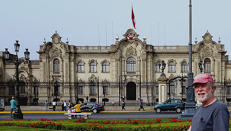
On the north side of the Plaza Mayor is the Government Palace, containing the residence of the president and the executive offices. It sits on the spot where Francisco Pizarro built his governor’s residence in 1536, but has been expanded and rebuilt after fires and earthquakes a number of times since then. The current building was completed in the mid 1930’s. Before Pizarro this was the site of a huaca containing a shrine to the last local indigenous ruler. We did not get to enter this building.
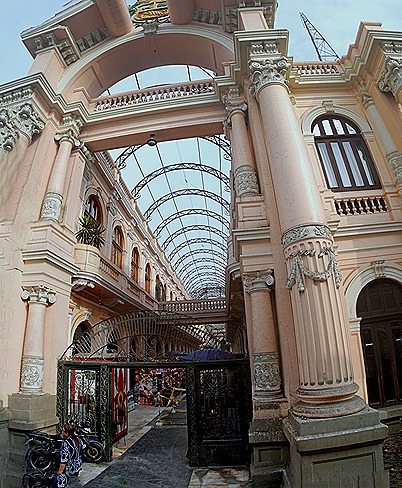
We left the Plaza to the left of the Government Palace and walked a couple of blocks to meet the bus. From that spot we could see the pinkish tower of the Iglesia de Santo Domingo & a large shopping arcade covered with a glass roof.
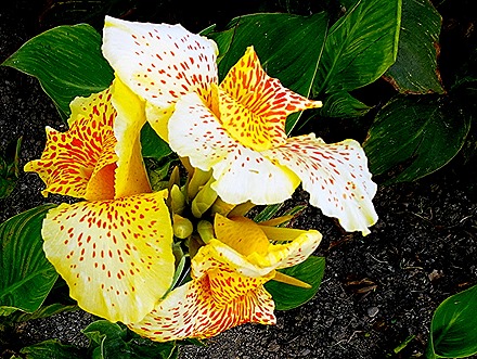
From here we drove through Lima’s incredibly congested traffic to Miraflores, a wealthy neighborhood situated above an ocean cliff. We visited the Parque del Amor, a popular hangout for young couples. Apparently this has been known as a place for young lovers for a number of decades, but now there is in the center a large statue of a couple kissing called “El Beso.” A brightly colored mosaic wall runs near the edge of the cliff, reportedly inspired by the work of Gaudi in Barcelona. Paragliders pass above the cliff in a never ending parade. The park also has many beautiful flowers.
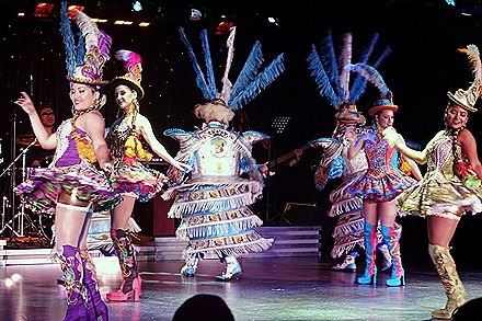
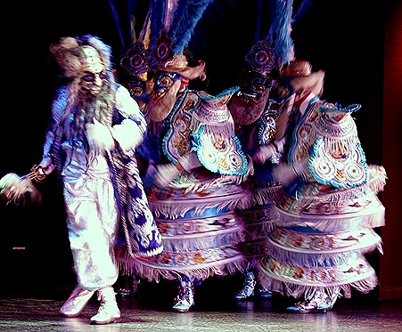
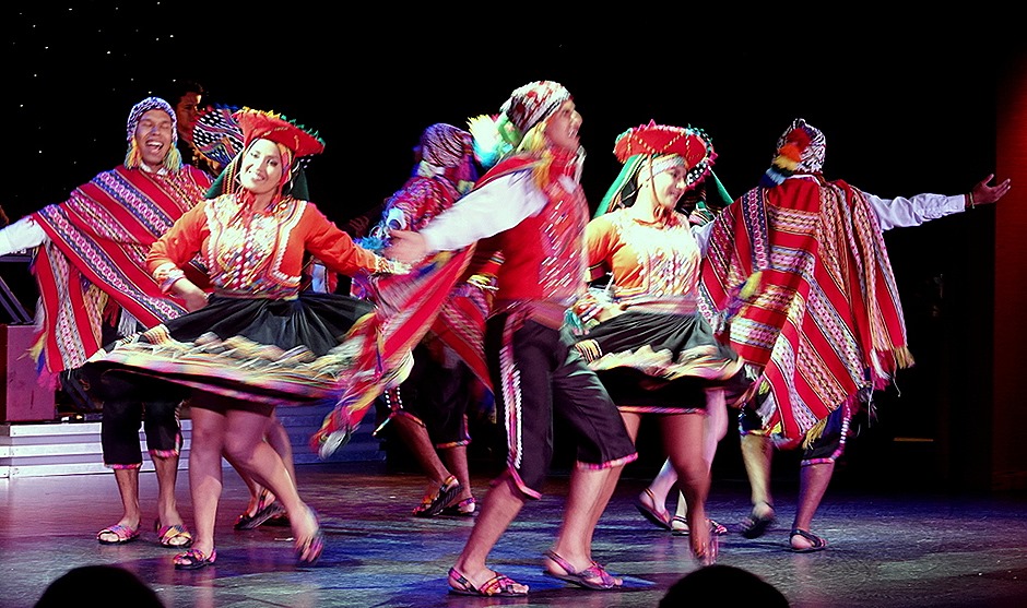
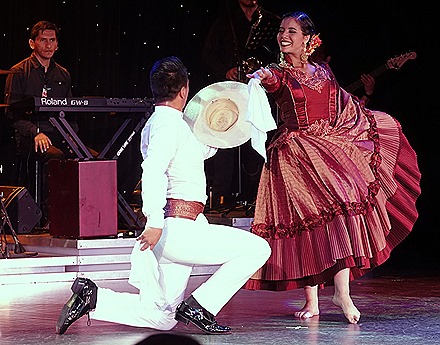
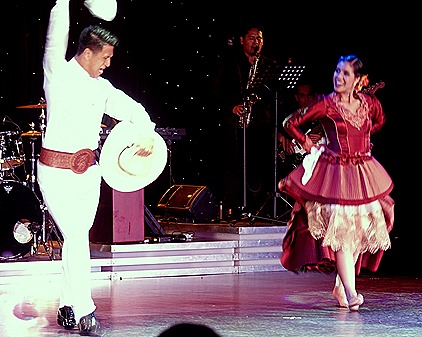
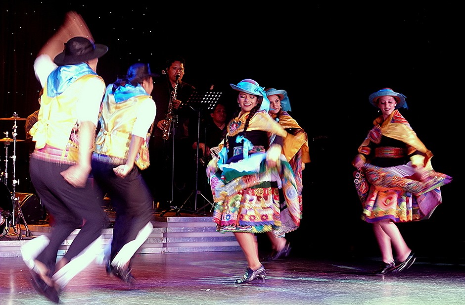
This evening after dinner there was a folkloric show with a Peruvian music and dance group. They were very colorful & very good. A lot of energy was expended in the performance of several representative Peruvian dances in very colorful costumes. Here are excerpts from the first three dances:
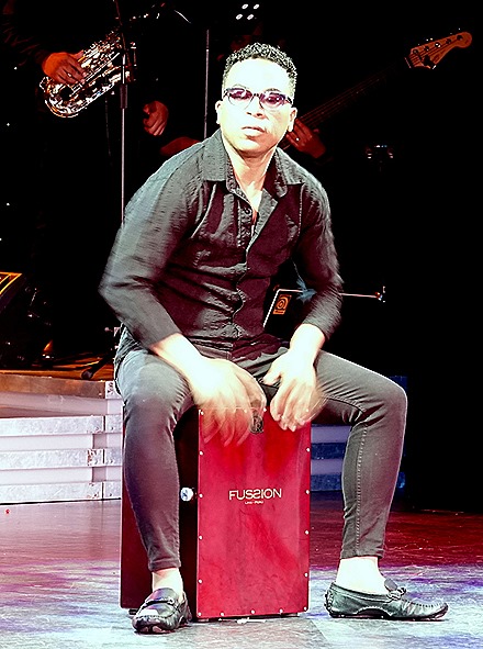
Then the drummer, who also appeared to be the bandleader, came out front for a solo spot drumming with his hands on a box on which he sat. His fingers really flew and it looked like his hands should be very sore afterward, but he resumed the drum chair for the rest of the performance without any apparent detriment.
Then there were two more dances to end the performance.
After the show we went to bed to rest up for another day in Lima tomorrow.
Trujillo, Peru (2019)
(Note: This is being uploaded from Antarctica. When we were here in 2012 there was no internet in Antarctica, but its been much better this time so we will give it a try.)
We arrived on the morning of January 14 at Salaverry, the port for the city of Trujillo. It was a gray day & Salaverry seemed a pretty gray place.
Trujillo was one of the first Spanish towns in this area, founded in 1534 on the orders of Francisco Pizarro. It is named after his home town in Spain. But before that this area was home to several indigenous civilizations, archaeologists having found artifacts dating back some 7,000 years. Today we visited two of the most important archaeological sites as well as the city of Trujillo itself. We visited these sites the last time we were here, in 2012, and you can see that visit here:
https://baderjournal.com/2012/01/19/trujillo-peru/
Our first visit today was to the center of the Moche culture that thrived in this area from 100 to 750 AD. Named after the Moche river that runs through here, the Moche people left us some amazingly sophisticated ceramic art. They worshipped the sun, were not warlike, and developed irrigation to the point of being able to support a sizable culture in an area with very little rainfall.
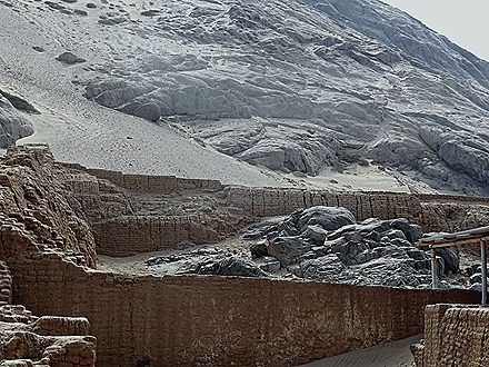
The Moche capital was situated between two large temples at the base of a volcanic mountain called Cerro Blanco.
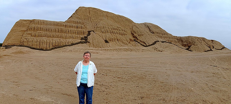
Our first stop was at Huaca del Sol (temple of the sun). In its heyday this was the largest adobe building in the Americas, built up in layers over the years with some 1.3 million adobe bricks. Today it is only about a third of its original size because the Spaniards diverted the river to intentionally erode the temple in the hope that gold and silver items would be uncovered. They weren’t, but most of this huge building is now gone anyway.
Huaca del Sol has not been excavated yet so all we had was an outside view. We proceeded across a large open space that was once the city to Huaca de la Luna, another temple that has been extensively excavated. From there we had a nice view of Huaca del Sol with the city of Trujillo in the distance behind it.
Our guide explained that the Moche people built their temples in layers. If the current layer was damaged by earthquake or the elements they would cover it up with mud (adobe) then build a new temple on top of it. The adobe bricks have makers’ marks on them indicating which village produced them and there are vertical lines between sections containing different villages’ bricks.
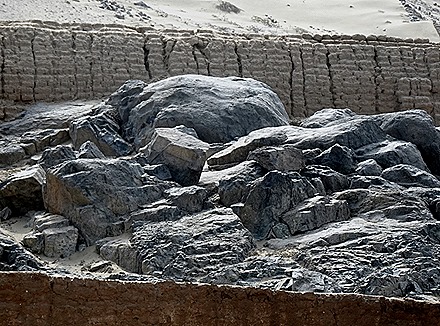
The first area we came to was the site of human sacrifices. A pile of huge boulders moved down from the mountain above was where the victims were killed, then thrown down to the ground below. A number of skeletons have been discovered here. Nearby is a spot where the priest would stand on a platform with the sacrificial victim kneeling on a raised stone below. We aren’t sure whether they were killed there or a ceremony preliminary to sacrifice on the rocks was conducted here.
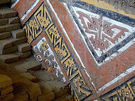
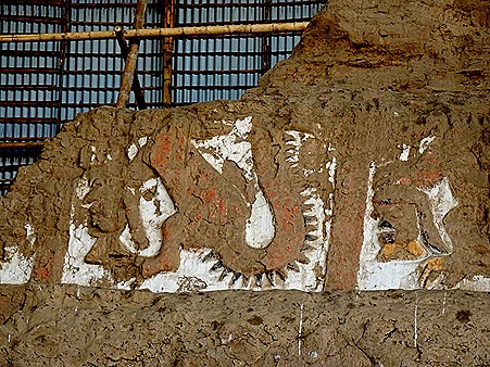
Inside were some walls containing amazingly well preserved colorful decoration. Several include the face of their primary god, Ayapec, nicknamed “the decapitator” by archaeologists because he is often depicted holding a blade in one hand and a severed head in the other. Rick thinks he looks a little like Homer Simpson, dressed up for Halloween with fake hair and teeth. Note that the colors in these and many of the other pictures from Huaca de la Luna are a little more faded in real life than depicted here.
We walked up to the top of the Huaca, where we passed a platform where the king would hold court, then down into the largest courtyard with two huge walls decorated with murals. On the largest wall the murals are in several layers. All of this artwork survives because the Moche later covered it up when expanding the temple.
The bottom layer of the wall paintings depicts the sacrifice victims, roped together at the neck, being led to the place of sacrifice. Sacrificial victims were selected through ceremonial mock combat in which the object was to seize the opponent’s helmet rather than to kill him. The losers would be sacrificed, but the Moche may have viewed the losers as the real winners because they were at the center of an important ceremony while the winners were barred from the premises while it took place. The second row probably depicts priests holding hands for some ceremony, perhaps a dance.
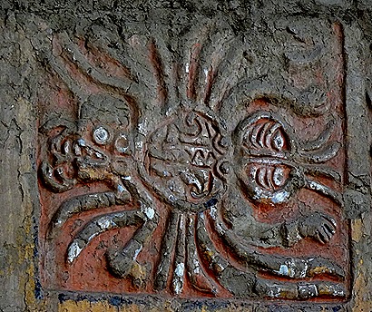
Above the dancing priests, on the third level, is a series of spiders, many with a head on each side. Above them are a series of depictions of the decapitator god holding a head in one hand and a blade in the other, and above that is a series of pictures of a mythical beast, half reptile and half feline. Above that are serpents. The last three are not in good enough shape for a lay person to recognize.
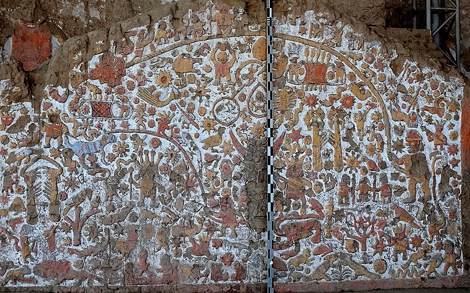
On the left side is a wall that looks like a gate (it’s not) called the Mural of the Myths. It is a very complicated jumble of symbols, looking perhaps a little like something by Hieronymus Bosch. We don’t know what most of this represents, but our guide pointed out an image of a headless body being pecked by a bird that we think has something to do with human sacrifice.
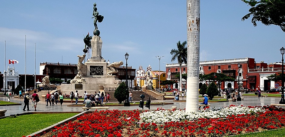
Leaving the Huacas we drove into town for a (too) quick visit to the Plaza des Armes. Every town in South America has a Plaza de Armas in the center, so called (we think) because this is where the soldiers or militia trained. Trujillo was the first town in Peru to declare independence from Spain, in December of 1820, and in the center of the plaza is a large monument to that erected on the 100th anniversary. The sculpture at the top had to be altered immediately after being installed. The legs were shortened a bit to make it balance better atop its tall plinth, and the ladies of Trujillo objected to the statue’s uncovered sex organs so they were removed (ouch!). The plaza is nicely landscaped with bright flowers.
Trujillo’s bright yellow cathedral was built in the mid 17th century. The façade is very nice and unusually simple but unfortunately we did not have a chance to go inside. On the other side of the Plaza was a house with a particularly striking wood porch on the second floor.
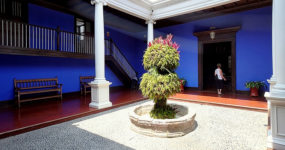
We had a tour of one of the old houses that line the square (we would have preferred the cathedral). Casa Urquiaga was built in the 18th or early 19th century, as were most of the old houses on the Plaza. Simon Bolivar stayed here in 1824 when conducting his campaign in support of Peruvian independence from Spain. The desk he used to write his declaration of Peruvian independence is still on display in this house. The house has several courtyards and a lot of period furniture, if you like that sort of thing.
After visiting the case we left the Plaza de Armas to head for our next stop.
Chan Chan was the largest pre-Columbian city in South America. The Chimu people who built it as the capital of an empire that stretched along the Peruvian coast may have arisen from the remnants of the Moche civilization that collapsed (for unknown reasons) about 100 years before they appeared. Beginning around 900 AD the Chimu empire lasted until they were defeated by the Incas in the 1470’s, only some 60 years before the Spaniards arrived. We hear mostly about the Incas ruling this part of South America, but their empire really lasted less than 150 years altogether before being destroyed by the Spanish led by Francisco Pizarro.
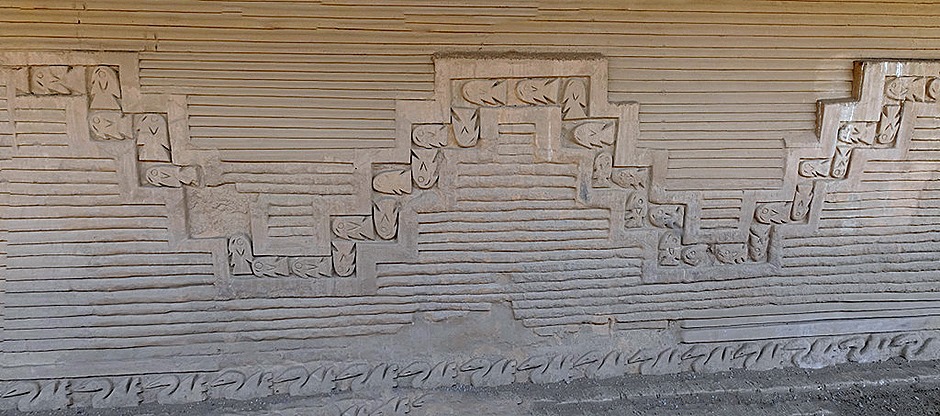
Chan Chan was a bustling city of 60,000 to 100,000 at its zenith, spreading out for about 5 square miles. It was built entirely of adobe with 60 foot walls. The Chimu were a sea-going people and their walls are decorated with stylized representations of fishing nets, sea waves, fish and other wildlife.
We visited an excavated complex called Nik-An. While Chan Chan was a living city when the Spanish arrived it faded after the establishment of Trujillo. Archaeological excavation began in the 1960’s and a good deal of imaginative but unrestrained “restoration” ensued. While archaeology is conducted much more carefully today, it is difficult for the lay visitor to tell what is original and what is modern reconstruction. Still, according to our guide, must of what is in Nik-An is real.
The main area is where the king received delegations from across his empire who provided the food and other materials needed to support this large city. The king was thought to have access to the gods, so delegations bearing offerings were frequent to ensure that the gods looked favorably on these outlying areas. The walls in this area were originally about 35 feet high, and there are niches in them that look like benches but were actually shrines containing statues of divine beings.
One reason that so much of Chan Chan still stands is the method of building walls they developed to withstand earthquakes. While the walls are covered with smooth finishes, inside is a pattern of adobe bricks with spaces built in to allow some movement without destruction of the wall. Around the palace complex are the remains of numerous storehouses where the food brought by the delegations was kept.
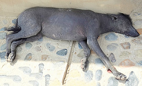
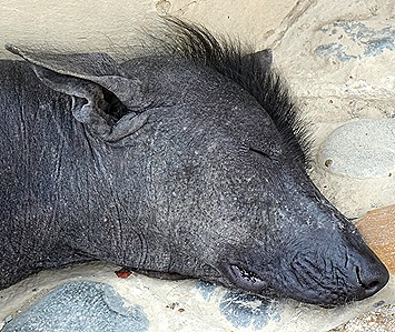
As we left Chan Chan we came across a sleeping Peruvian hairless dog, a breed that goes back at least as far as the Moche civilization and is today the only recognized breed of Peruvian origin. They have hair only on their tails and heads (looking like a Mohawk). Not the most beautiful dogs we have ever seen!
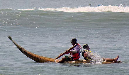
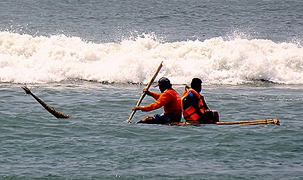
Our last stop of the day was at Huanchaco Beach, a popular surfing spot that 50 years ago was a small fishing village. For some 3,000 years fishermen here have been plying their trade on “caballitos de totora,” small boats made of reeds. The fisherman sits on top of the boat, rather than inside it, similar to riding a horse (thence the name). Two people man the boats, one in front to paddle and one in the seat in back to manipulate the fishing nets and gather the fish into the boat. The boats are built by the fishermen and last 6 to 9 months, from what we were told.
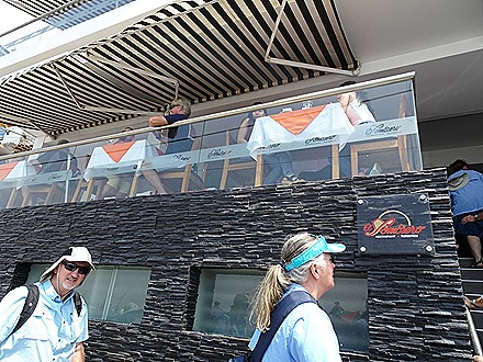
Across the street from the beach we had lunch in a very good restaurant called El Sombrero, serving a nice local beer called Cusquena. Rick had roast cabrito (kid), which we haven’t eaten since our honeymoon in Monterey, Mexico, and Mary had prawns & rice. We sat at the edge of the veranda with a fine view of the water and the stacked caballitos on the beach.
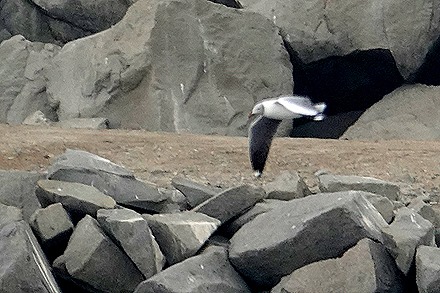
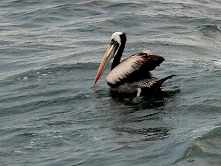
We drove back to the ship, passing a huge Moche-looking sculpture in a traffic circle. Then, after a final look at the birds and boats at the port, we sailed away toward Lima.


