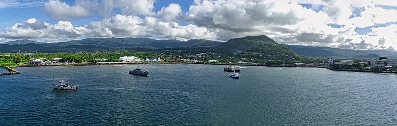
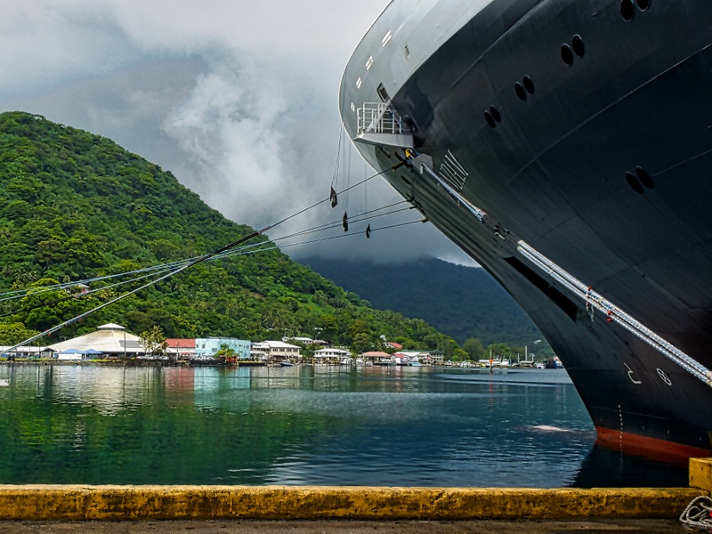
Having left Pago Pago on January 21 we arrived in Apia on the morning of January 23. Two days is a long time to sail the 80 miles to Apia, but the real reason for this calendar discrepancy is that we crossed the international date line between these ports and moved ahead a day. So we didn’t have a January 20 at all. We found ourselves docked in another large harbor.

The Samoan archipelago was divided into German Samoa on the west and American Samoa on the east in 1899. Western Samoa remained under German hegemony until 1914 when New Zealand troops landed at the beginning of World War I and took control without resistance. About 20% of the population died in the Influenza epidemic of 1919, which the Samoans blamed on New Zealand (it has since been established that influenza was brought here on a New Zealand ship). Although political tension continued, Western Samoa remained under New Zealand control until it gained independence in 1962. In 1997 it adopted the name “Samoa,” over the objection of the American Samoans. In 2011 Samoa changed its time zone to ease trade with New Zealand, which moved the international date line to fall between the two Samoas.
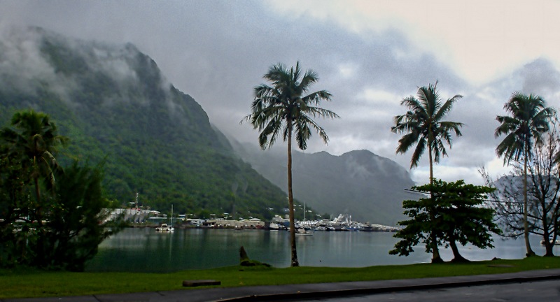
The independent state of Samoa consists of two large islands and a number of smaller islands, most uninhabited. Apia is the capital of the country and by far its largest city with a population exceeding 35,000. The city itself has no central government, but is made up of some 45 communal villages. Like American Samoa, the island of Upolu on which Apia sits is very lush and green. All of our ports up to now had been US territory, so this was the first one for which we needed a passport. This was our first visit to Apia and we booked an excursion to show us the highlights.
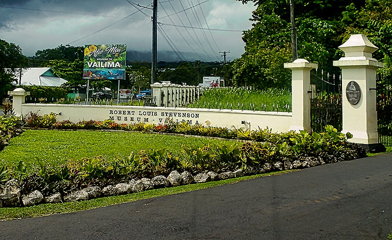
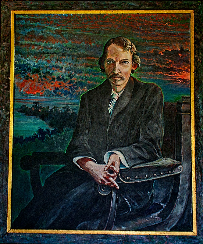
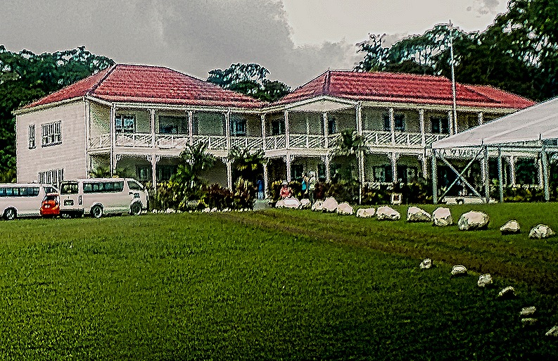
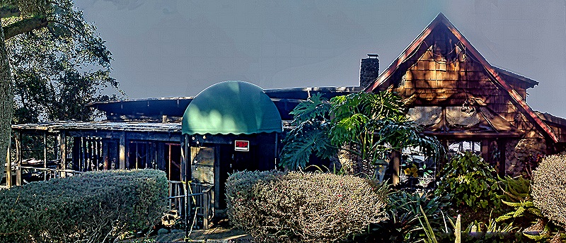
Robert Louis Stevenson lived here for the last few years of his life and was buried atop Mount Vaea in Apia in 1894. He built a large house of redwood imported from California at the foot of that mountain that was completed in 1891, named Vailima after the local village. Today it is a museum.


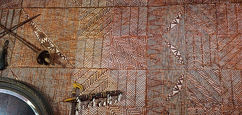
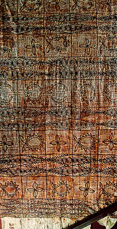
Rather than having a guide lead visitors through the house they had a sort of docent stationed in each of the featured rooms to explain it and answer questions as each group entered. Stevenson’s widow sold the house and most of its contents a few years after he died and moved to California. The house became the residence of the German governor of Samoa, then the New Zealand administrator of the territory and after independence of the head of state. It opened as a museum in 1994. It is furnished with period (or at least period style) furniture and decorations in an effort to make it look as much as possible as it did when the Stevensons lived here, but because Mrs. Stevenson sold almost everything very little here is original to the house. Among the interesting items inside was some elaborately printed siapo cloth adhering to the wall like wallpaper. Siapo could also be seen hung like tapestry. The verandas lining the outside of the upper story were airy and pleasant, in a rather Victorian style.


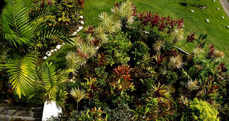
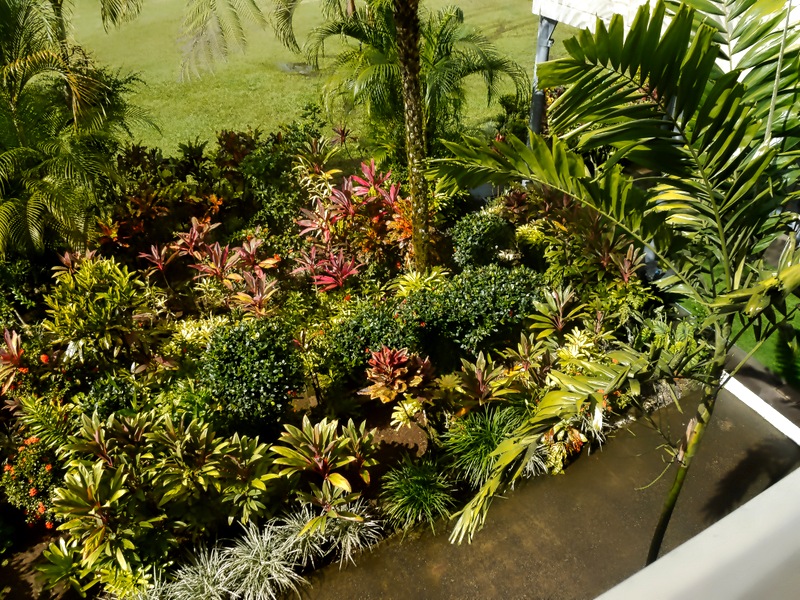
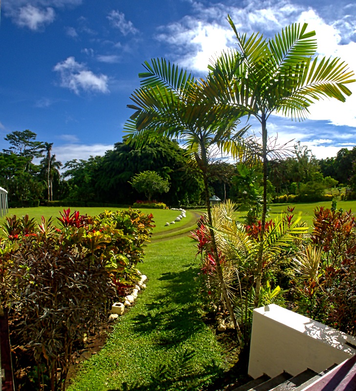
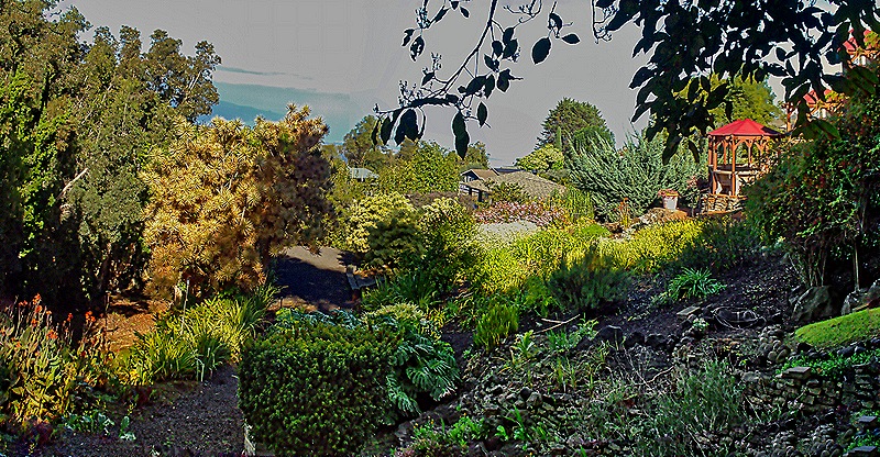
The grounds of the house were particularly beautiful, with many colorful flowers and well landscaped. And we spotted an interesting bird wandering the grounds, of a type we had never seen.


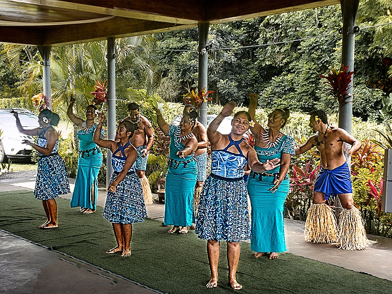
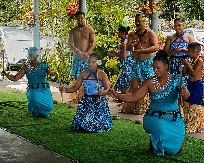
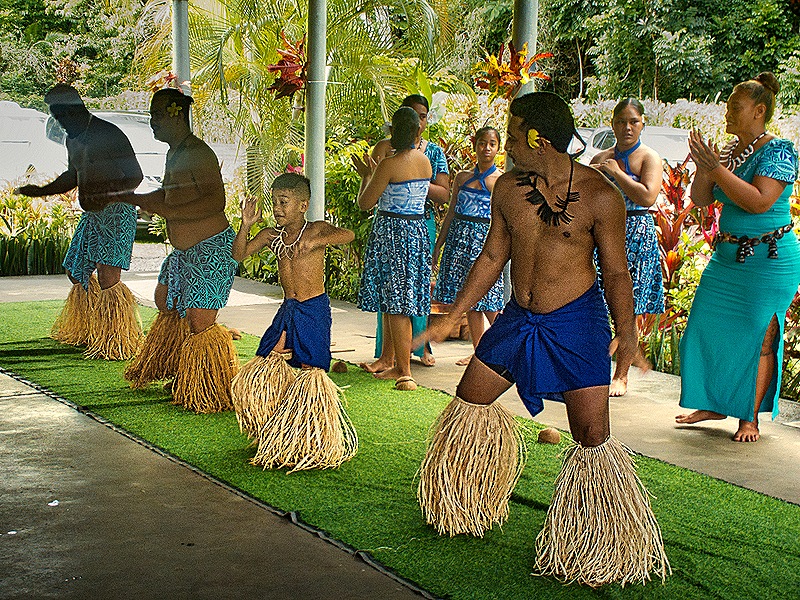
After we toured the house there was a dance performance on a large porch in the back of the house. It began with a demonstration of what the Samoans call an ‘Ave Ceremony (called a kava ceremony on other Pacific islands). This ceremony generally involves formal speaking and shared drinking of a liquid made from a root of some kind. One of the dancers sat on the ground with a bowl filled with the ceremonial drink, which was given to members of the audience who volunteered. It was scooped from the bowl into a piece of coconut shell and taken to the volunteer, then returned and swished in a bucket of water, filled again and distributed to the next volunteer, perhaps half a dozen times in all. We are sure it was safe enough and no one seemed to get sick, but since the pandemic we are more leery about shared food and utensils than we once were.
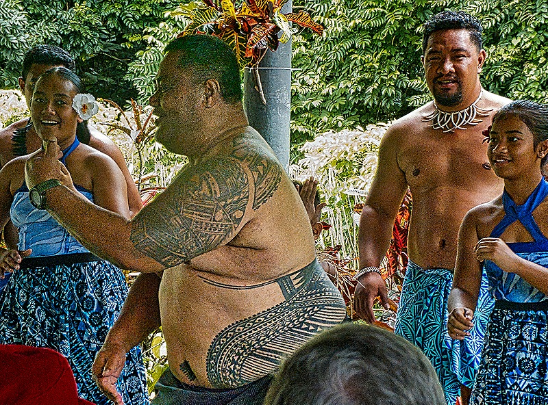
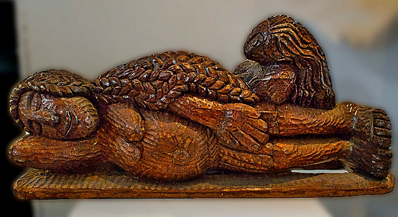
The dancing was very interesting, mostly performed in rows, sometimes standing and sometimes kneeling. There was a rhythmic band accompanying and at the end a rather hefty band member stood up, removed his shirt (revealing extensive tattooing) and danced. The band sat next to an interesting sculpture of two men sitting and seeming to be enjoying the music.


 dancing")


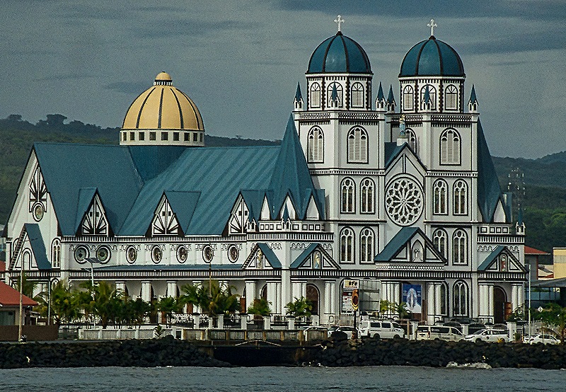
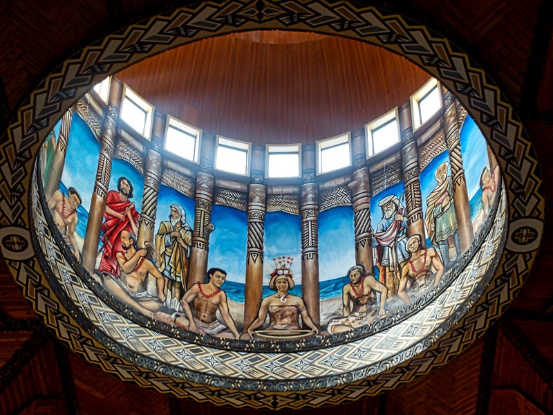
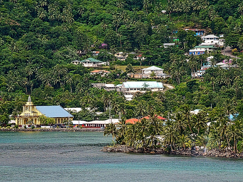
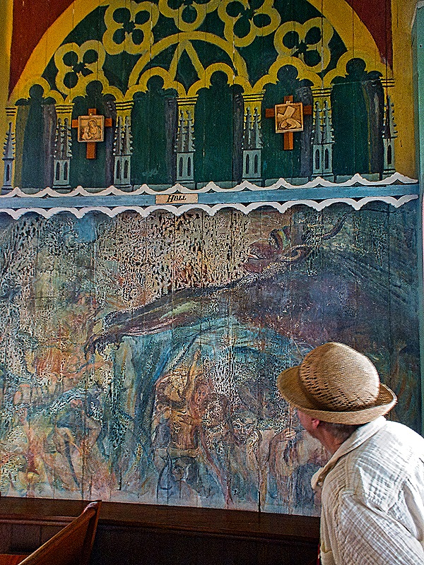
Our next stop was at the Immaculate Conception Cathedral, which was easily the most distinctive building we saw in Apia. There has been a church on this spot since 1857 and in 1884 it was replaced by a larger one. The 2009 earthquake damaged it beyond repair and it was replaced by this much larger one (with a capacity of 2,000 compared to the old church’s 400) that opened in 2014. The Apia archdiocese was created in 1966, so that is presumably when the church on this spot became a cathedral. We had a good view of it from the ship across the harbor. It is white with a deep blue roof and towers on either side of the front entrance topped by blue domes. There is a gold dome over the apse, the inside of which has a painted depiction of the Last Supper, with apparently Samoan figures seated around an ‘Ava bowl. It also has a very nice rose window near the entrance with a pipe organ surrounding it . The large interior is dominated by a stunning ceiling of imported mahogany carved into patterns resembling traditional Samoan male tattoos.


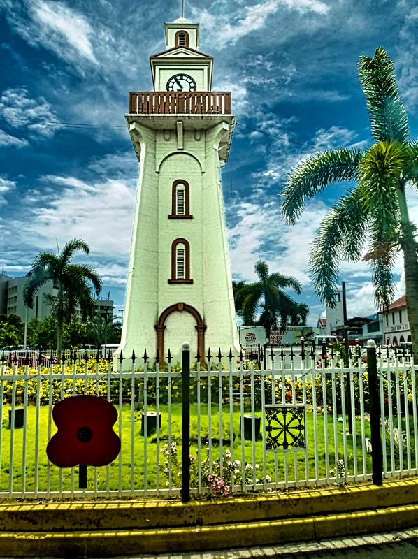
We drove across town to the Mulinuʻu peninsula. Apia’s clocktower was in the center of a traffic circle on our path through the central city. It was erected in the 1920”s as a memorial to Samoans killed in World War I and to the many Samoan victims of the influenza epidemic at the end of the war. Mulimu’u has been an administrative center of Samoa for many years and today the legislature and the main courts (among other buildings) are located here. We saw the interesting round and domed parliament building there, the design of which was based on the traditional Samoan meeting house called a Fono. Opened in 2019, this building (called the Maota Fono) was built by the Australian government to commemorate Samoa’s 1972 independence. Near the Fono was the new courthouse housing three levels of Samoan courts. Opened in 2010 this building has already undergone expensive repairs and renovation to correct severe deterioration. We thought this wide and low beige building looked rather institutional (after all, it is an institution) in contrast to the neighboring Fono.


We continued on to the site of several tombs of prominent people (if not royalty). One looked like a step pyramid and the other was domed, both painted white and maybe 15 feet tall. They were located in a very nice green area bordering the ocean with many palm tees and tall grasses. Nearby was a parking lot with several buses painted in bright rainbow colors.


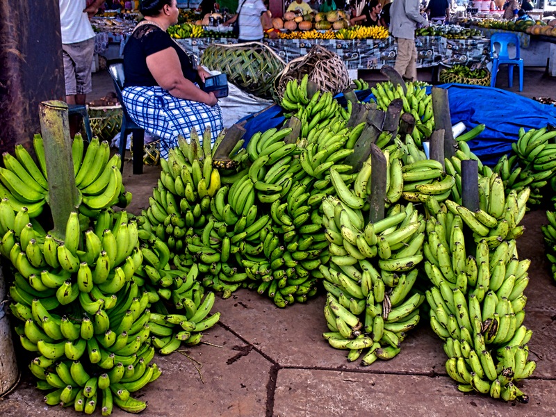
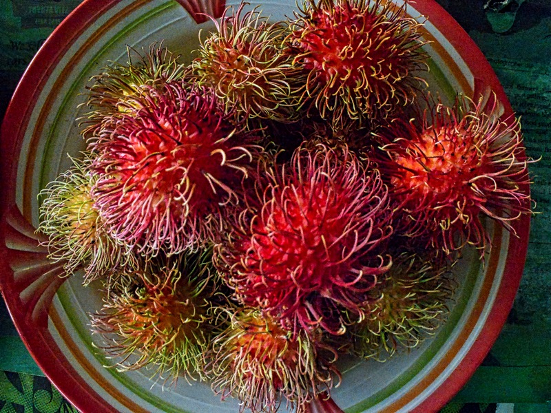
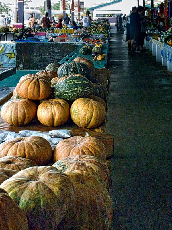
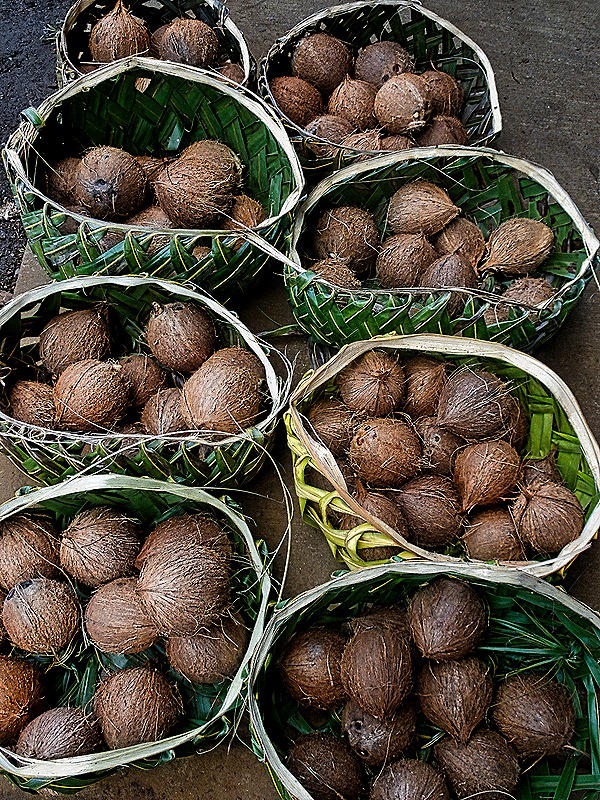
Finally, we drove back into town to visit the Fugalei produce market. This is a huge open air market under a roof with individual vendors selling mostly produce (although there are also some handicrafts and clothing vendors). We didn’t buy anything here . . . not only were we not in need of fresh produce but we had no Samoan currency, which is the only payment accepted at the market. We did enjoy exploring it though.


We returned to the ship. This was the end of our Samoan sojourn and we sailed away before dinner for Fiji.


, one of the flowerport islands")


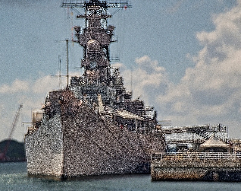
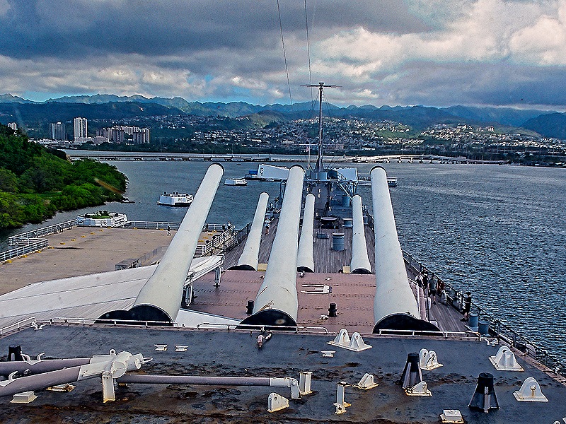
 for gun turret (far) and probably the funnel with interior ladder (closer)")


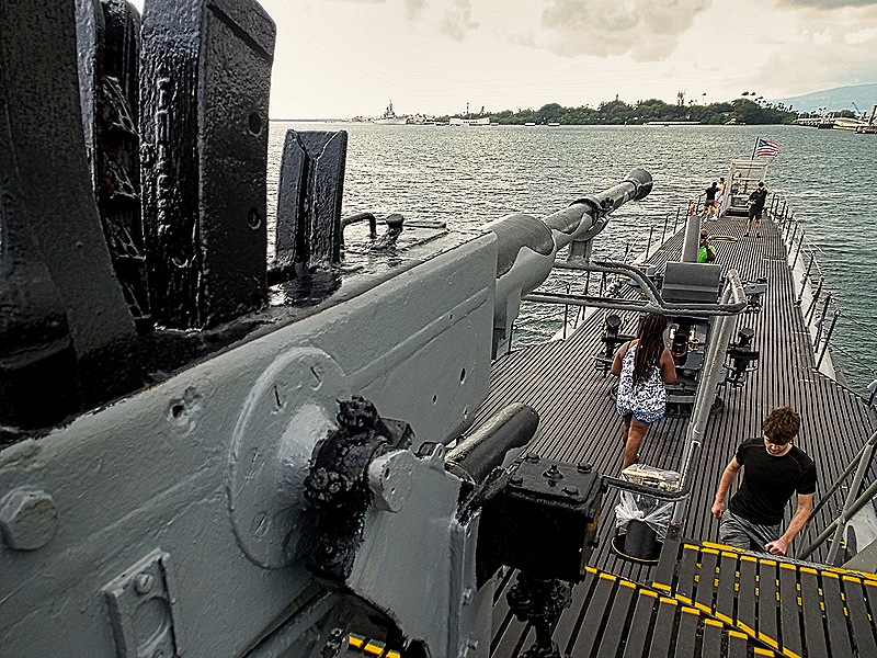
 & tower")


