Kangaroo Island, Australia 2026
We anchored off Penneshaw on Kangaroo Island early on February 27. It’s just a handful of miles from Adelaide so no problem getting here early in the morning. Last time we were here, in 2018, we signed up for a 9 hour excursion that would take us across the island to visit some of the most prominent landmarks. But we ran into a cyclone (quite an adventure) that delayed our arrival by four hours requiring all the long excursions to be cancelled. You can see that visit (including the cyclone experience) here: https://baderjournal.com/2018/07/02/penneshaw-kangaroo-island-australia/. So we signed up for the same excursion for this visit and were able to complete the whole thing.
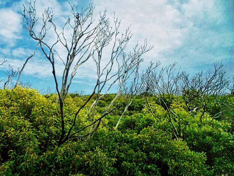
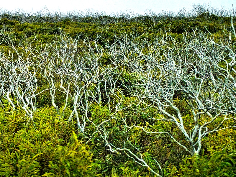
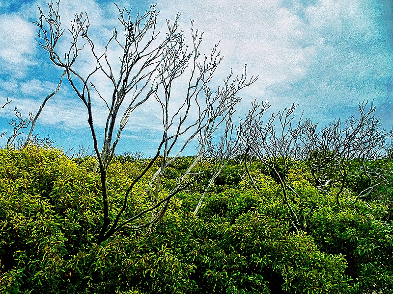
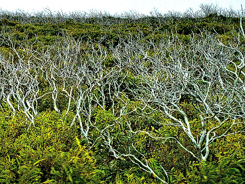
So we tendered into Penneshaw in the morning to meet our excursion bus and off we went. Even though our guide Robert drove pretty fast on the less than perfect roads, the long morning drive across the island through mostly forests and fields made us wonder if we had made a bad choice. One interesting thing we saw in the southwestern part of the island was fields of low green growth with taller dead white trees. This was the result of the massive forest fires here in 2020 which not only destroyed much woodland but also killed about 80 percent of the Koalas who lived there. Koalas are slow, low energy animals who live mostly in eucalyptus trees, whose leaves are most of their diet. Their natural response to danger is to climb higher into the trees but that didn’t protect them from the wildfires. A massive effort to rescue the survivors was undertaken and today the population has rebounded to between 15 and 20 thousand, maybe 40% of what it was before the fires.
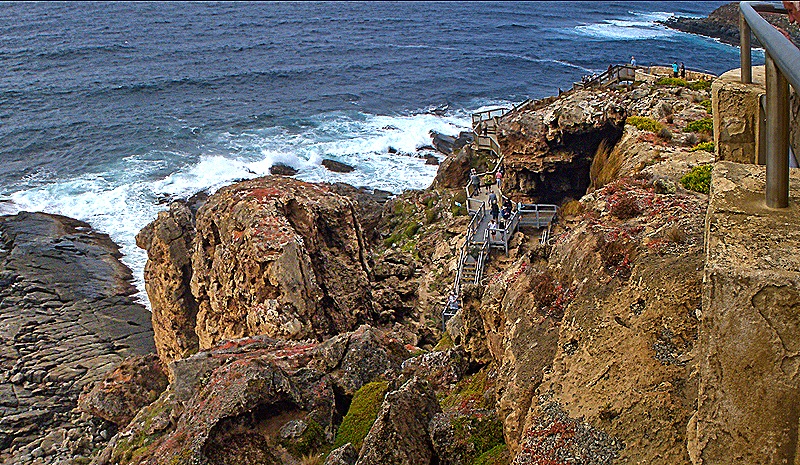
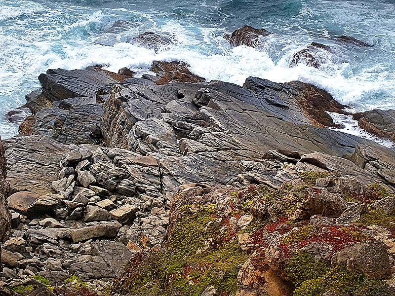
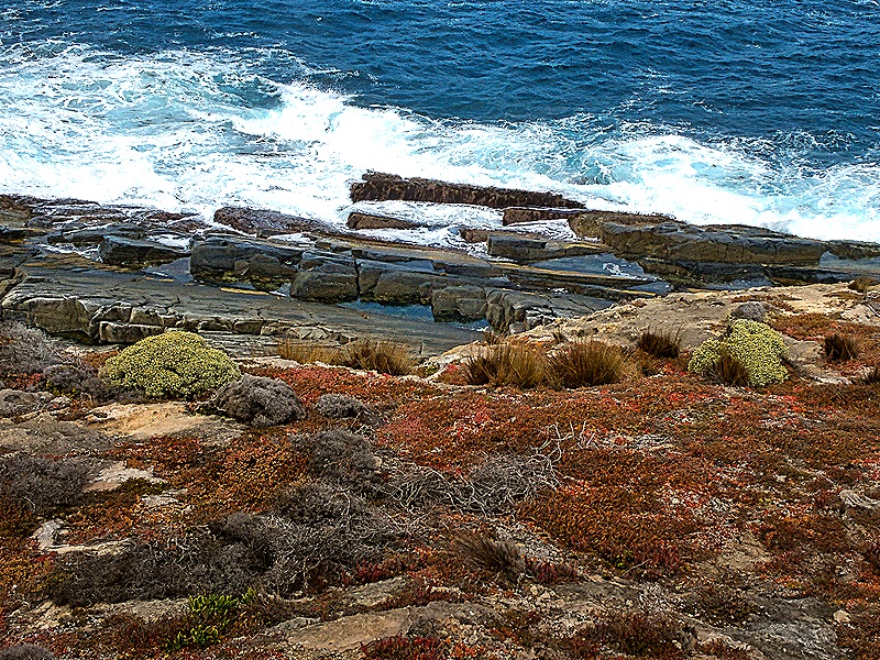
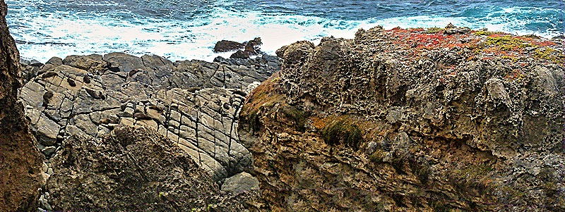
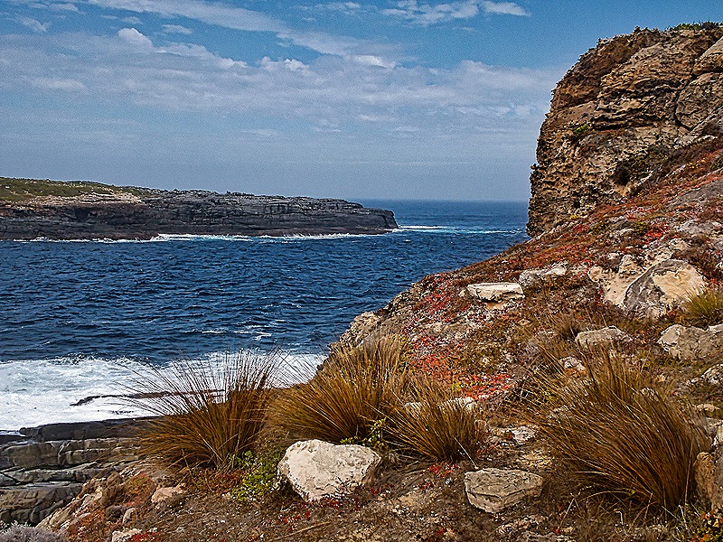
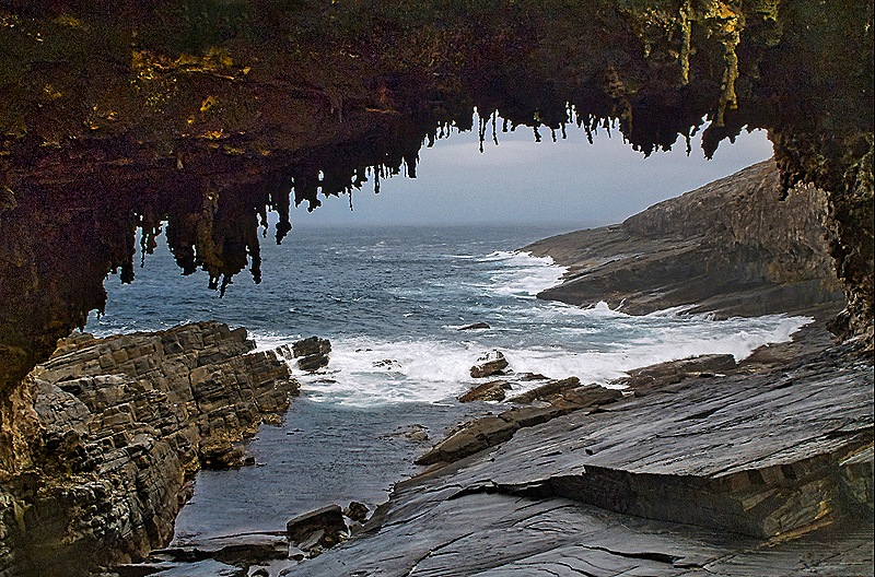
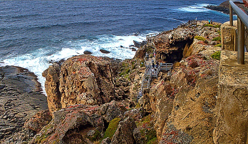
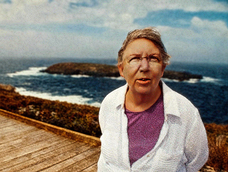
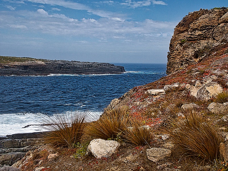
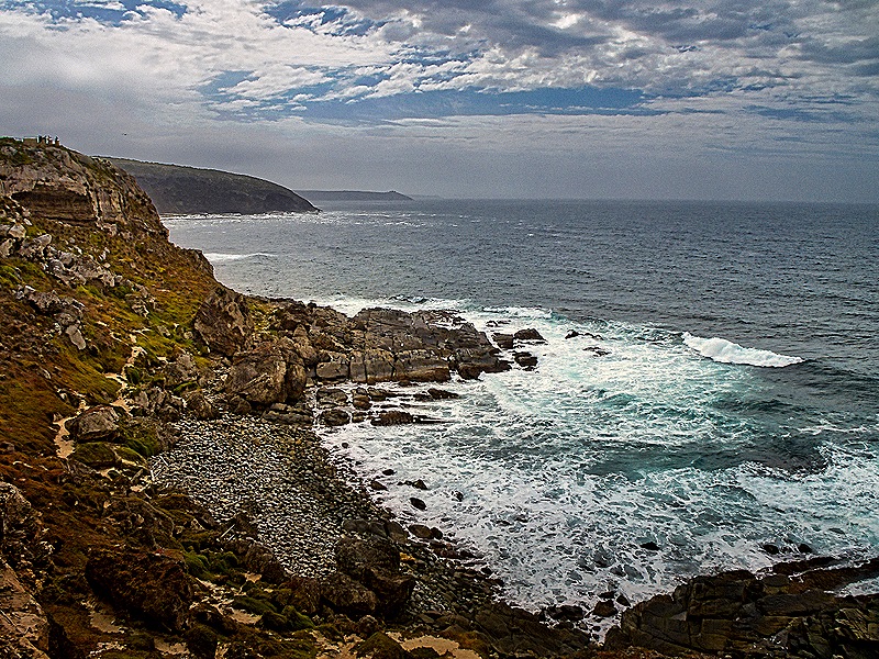
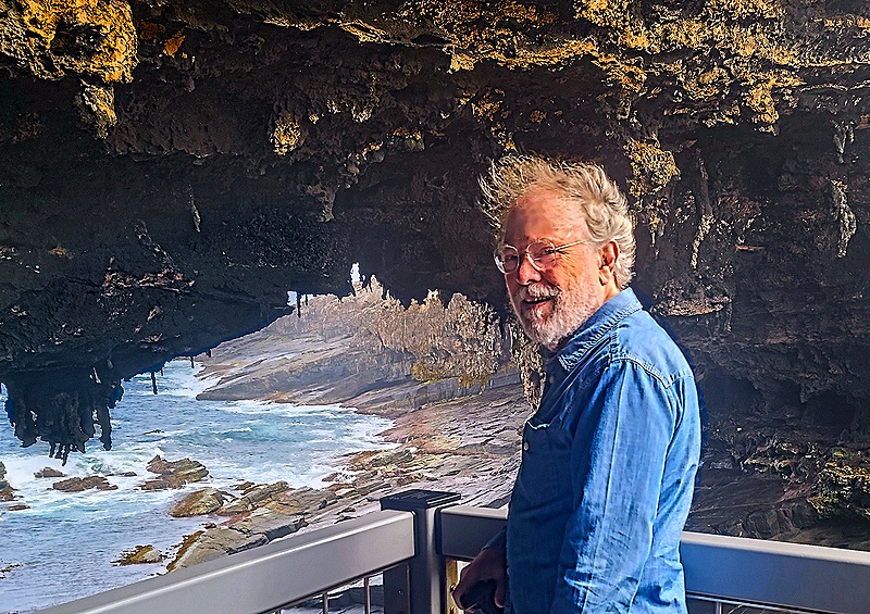
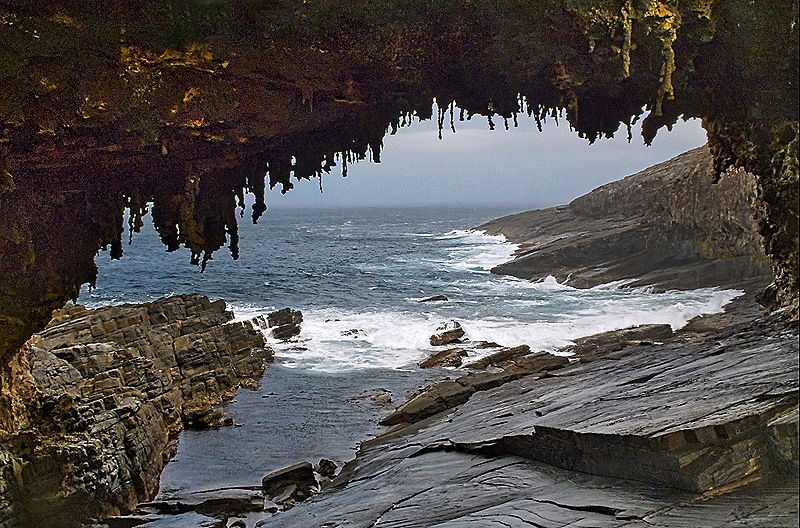
 Eventually we reached Flinders Chase National Park, named for Matthew Flinders who visited here in 1802 and named it Kangaroo Island. It was established as a nature reserve in 1919 and made a national park in 1972. Our first visit was to Admiral’s Arch, a natural bridge overlooking the rocky ocean shore. Getting to it requires a very long walk along a boardwalk that descends and then goes around Cape du Couedic to reach a wooden stairway up to the arch viewing platform. Very nice seaside views from the boardwalk. Less than a mile off the coast were the two Casuarina Islets.
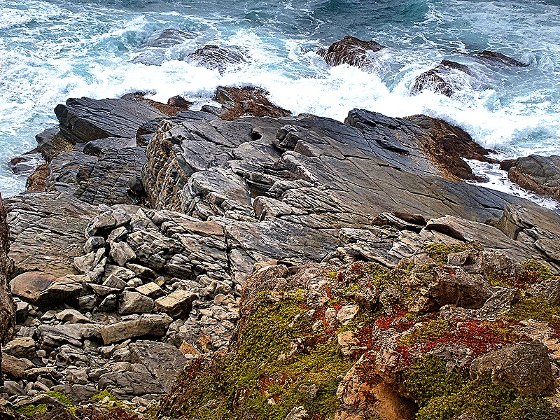
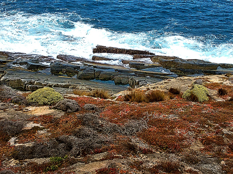
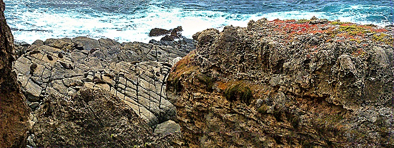
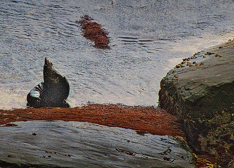
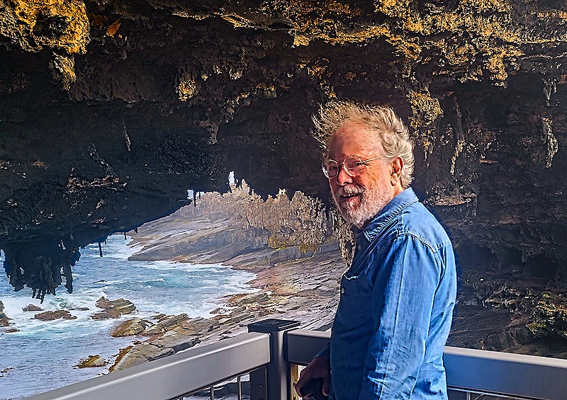
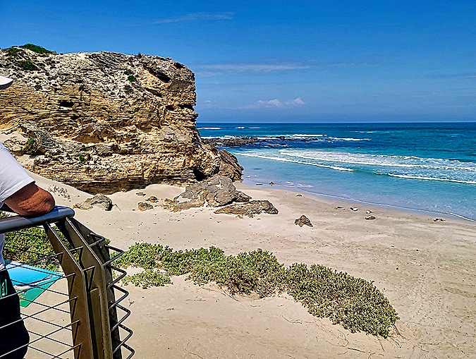
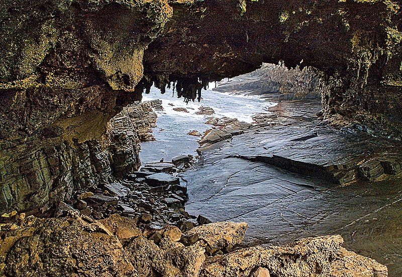
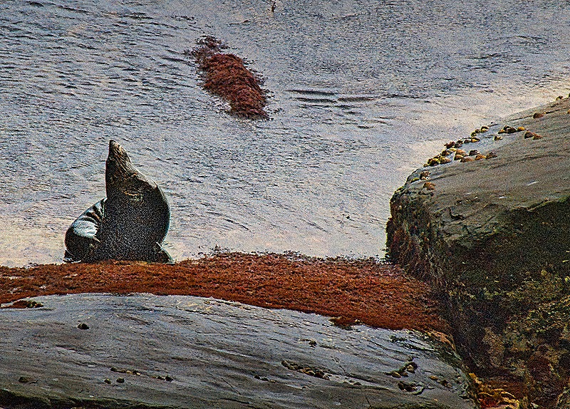
The arch is said to have been formed by erosion from ocean waves but when we were there the ocean looked too far down for that. Maybe it was different in the past or during other seasons. The walls and top of the arch look like a cave formation, very uneven with what look like small stalactites. It was quite windy the day we were there, especially on the exposed viewing platform, which is why Rick isn’t wearing his hat in the picture below. We understand that this area is frequented by large numbers of Long Nosed Fur Seals, but on the day we visited we only saw two of them. Maybe it was the wind.
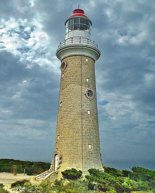
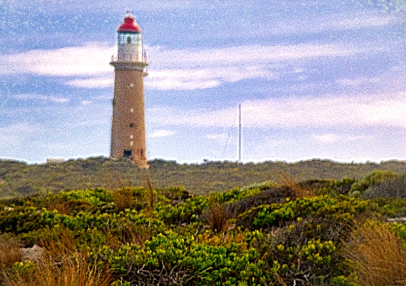
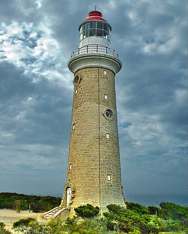
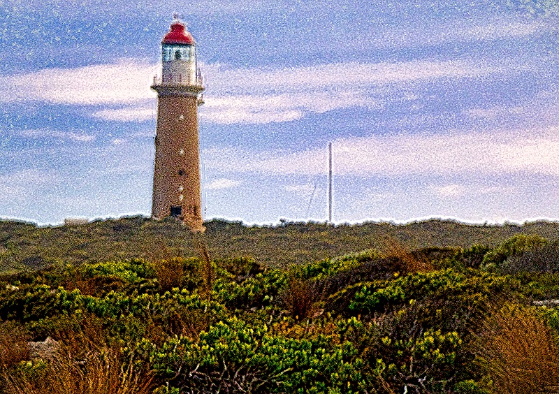
On higher ground back from the ocean stood the 82 foot tall Cape du Couedic Lighthouse. Opened in 1909, it was automated in 1957 and since 1991 the three former lighthouse keeper’s houses have been available for park visitors to rent. We saw it fairly closely from the parking lot and in the distance as we drove away.
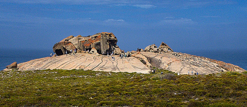
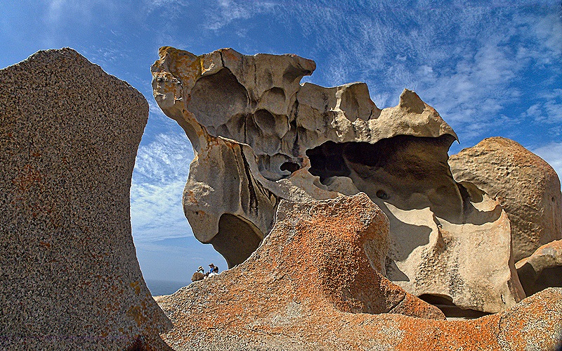
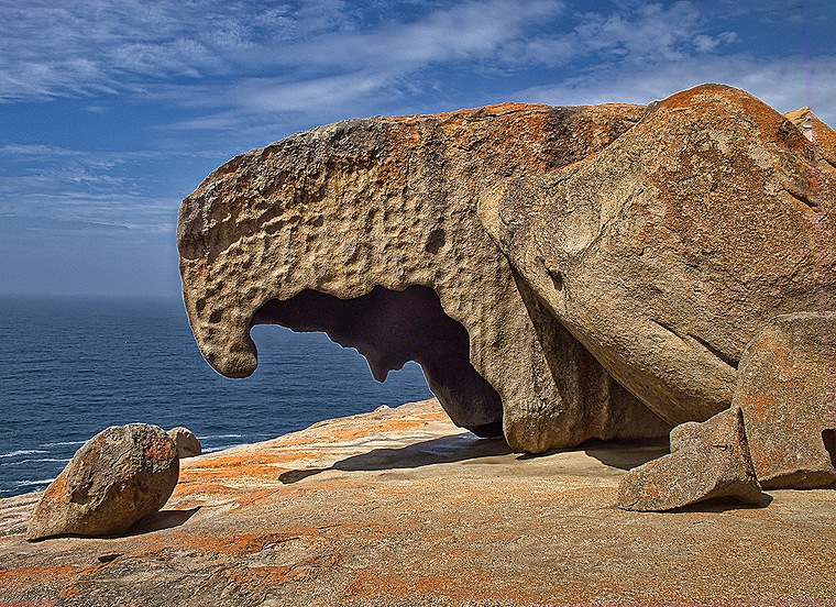
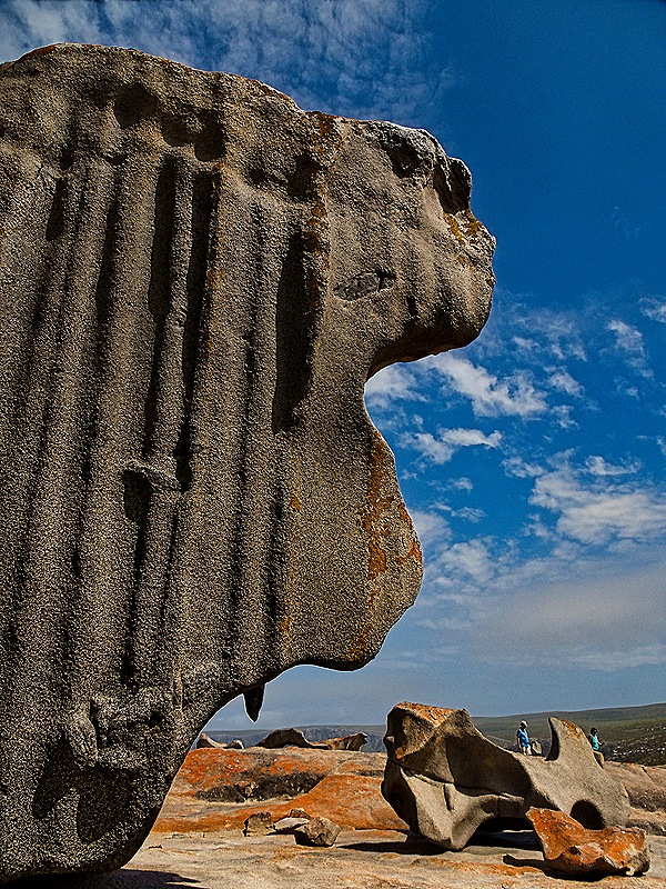
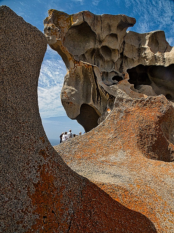
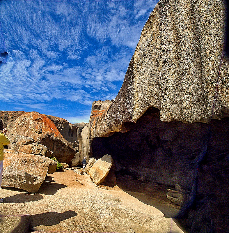
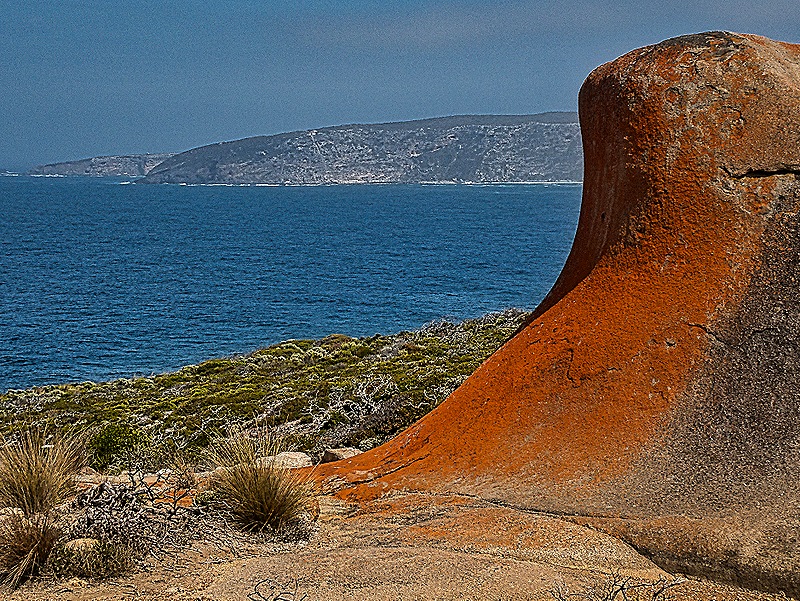
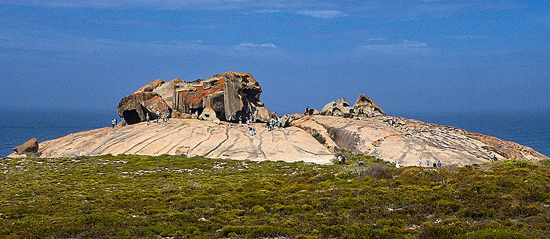
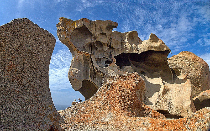
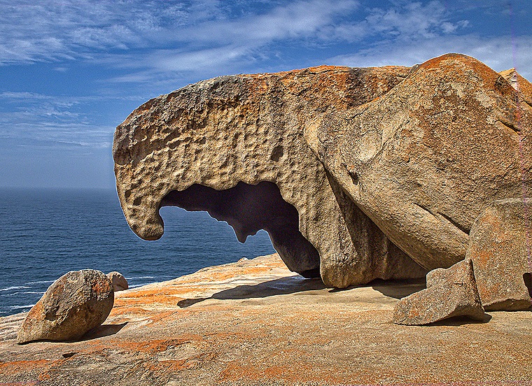
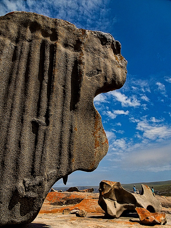
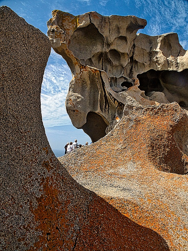
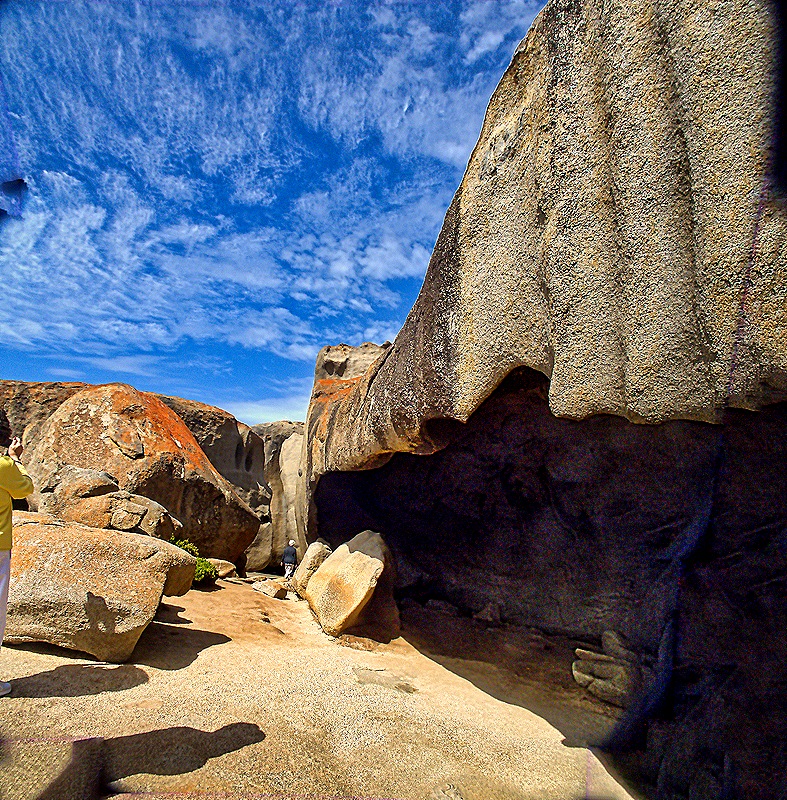
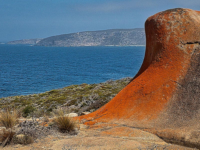
Remarkable Rocks is the name given to a group of large granite boulders sitting near a cliff some 200 feet above the ocean. They have been sculpted naturally by wind, rain and sea spray over some 500 million years into formations that look a little like works by Henry Moore. Remarkable Rocks sounds like a remarkably English name to us, but it is quite appropriate. We parked some distance away and you had to walk on a flat boardwalk until we reached the rocks, which were on top of a low hill of granite. The orange blotches on the rocks are lichen. From inside the formation on the hill the rocks made for a stunning display.
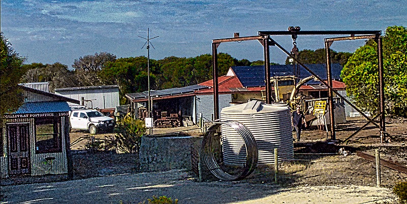
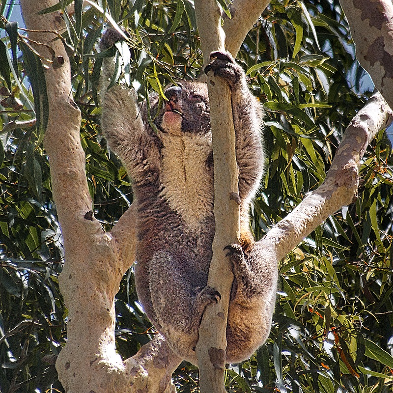
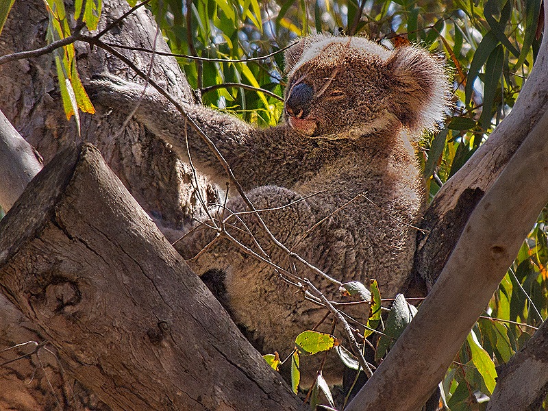
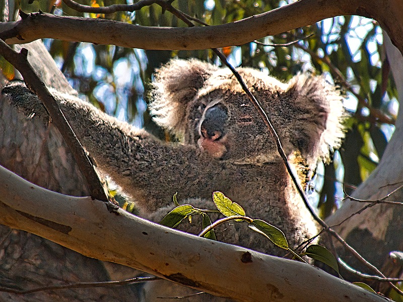
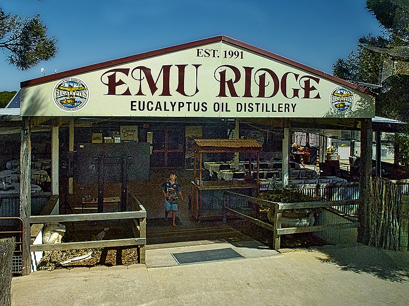
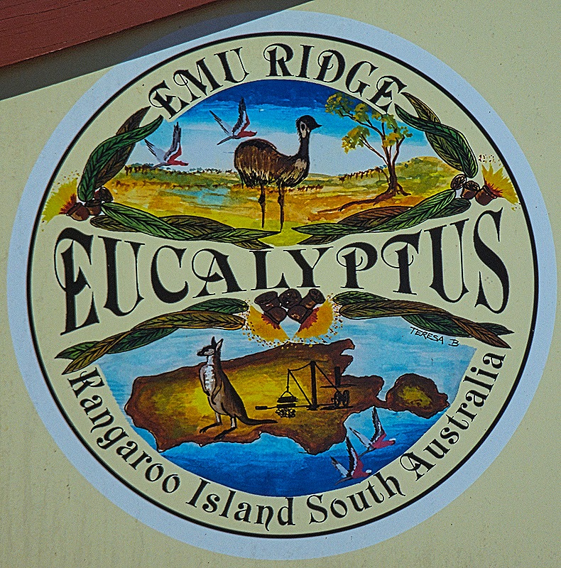
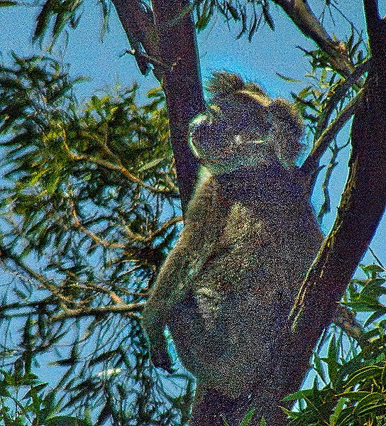
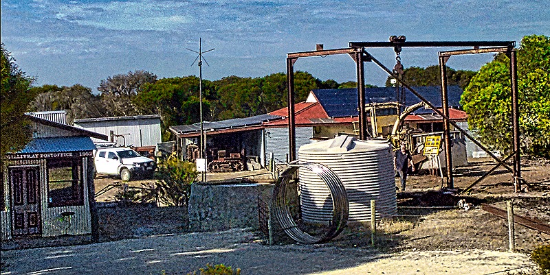
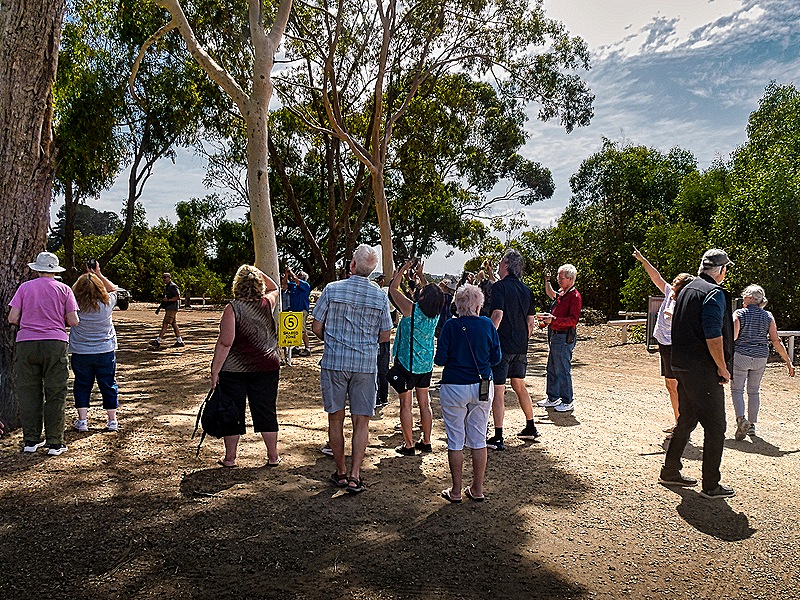
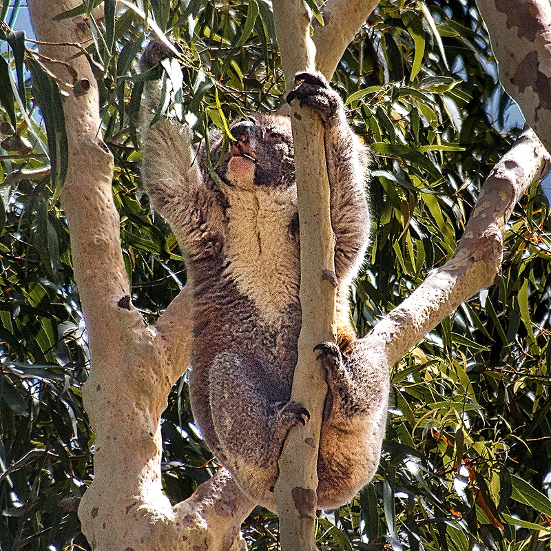
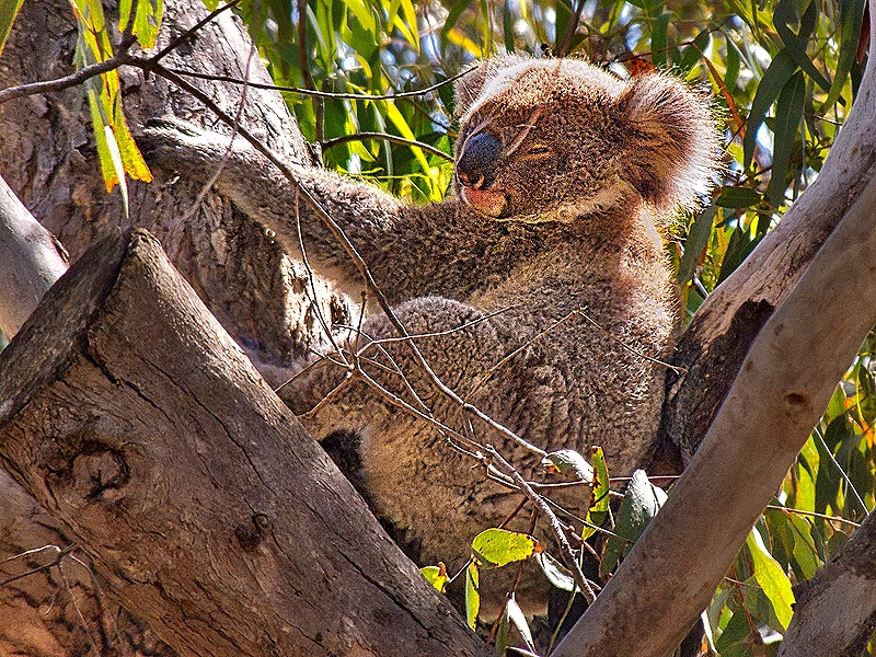
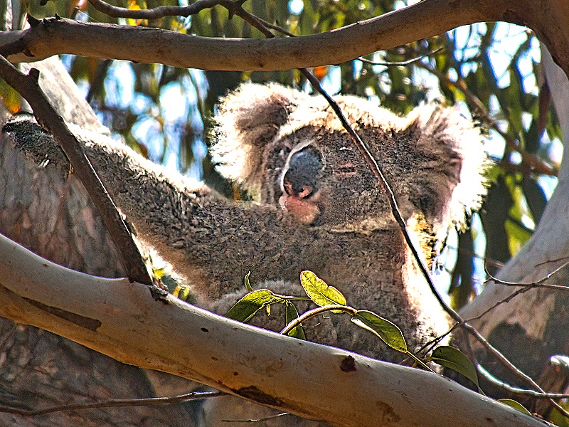
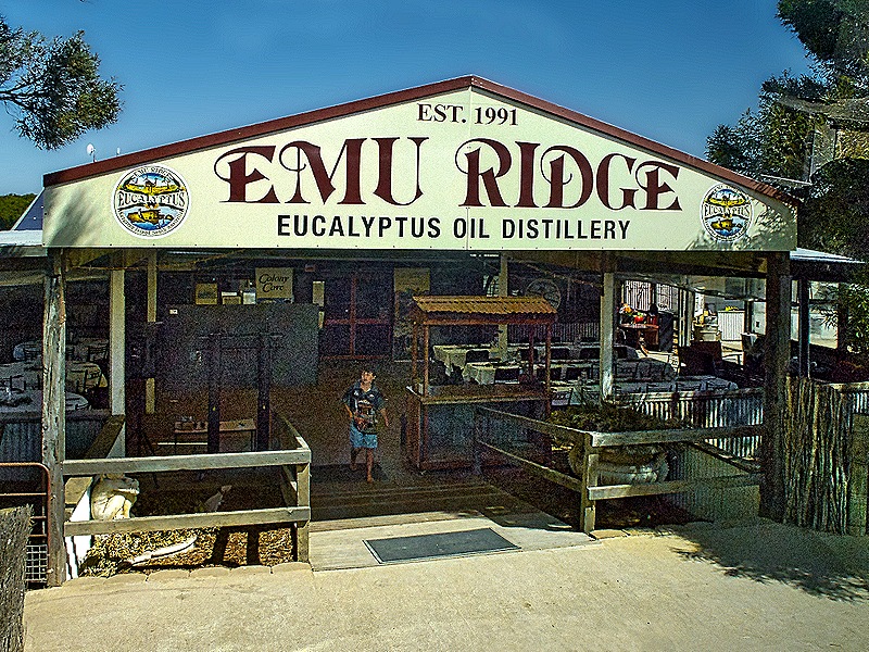
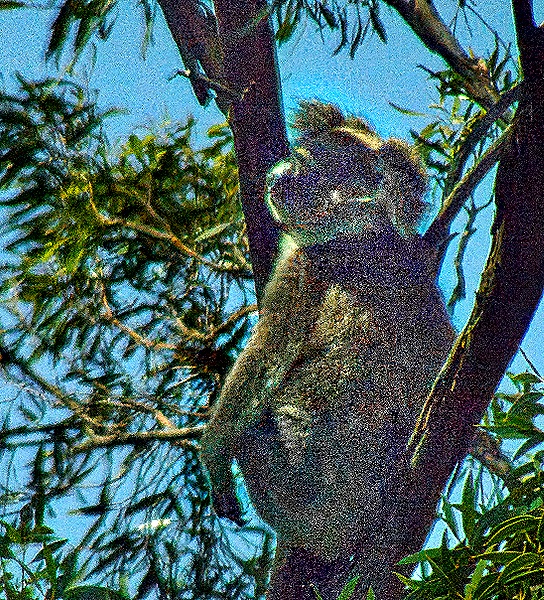
It was time for lunch so we drove to Emu Ridge Eucalyptus Distillery, the only remaining example of what once was a thriving industry on Kangaroo Island, to eat our box lunches. The lunches were distributed in what appeared to be a lunchroom and they were quite good for box lunches.Many of us took the meal outside and sat at picnic tables set up on the grounds, some with welcome shade. It turned out that koalas hung out in the eucalyptus trees near our picnic tables. As you would expect, once spotted they drew a crowd & we were among them.
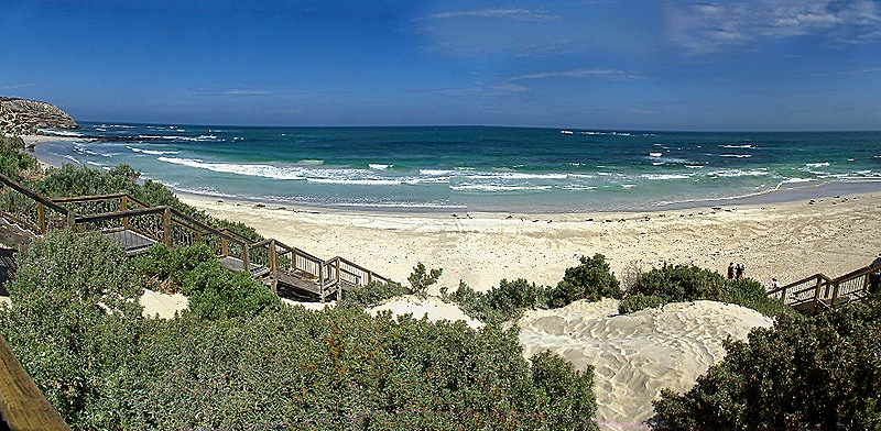
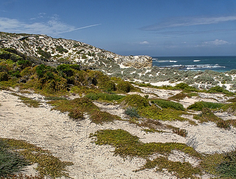
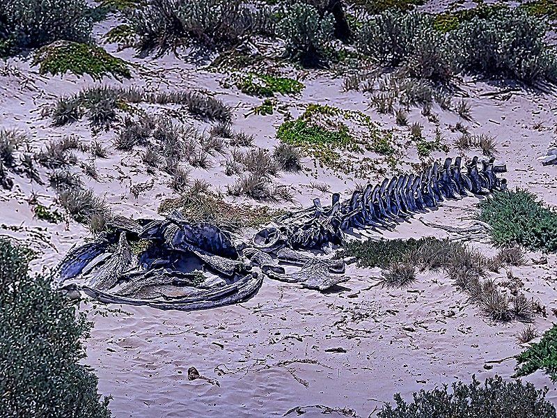
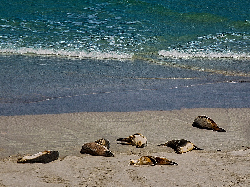
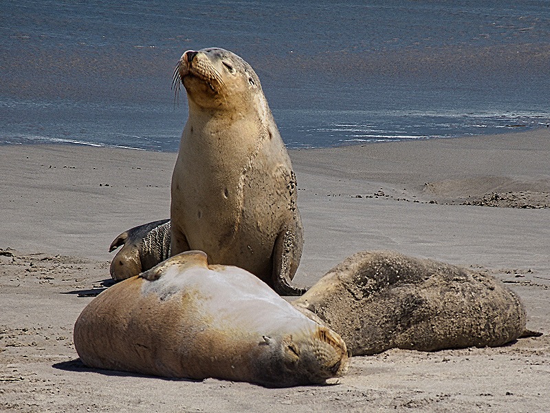
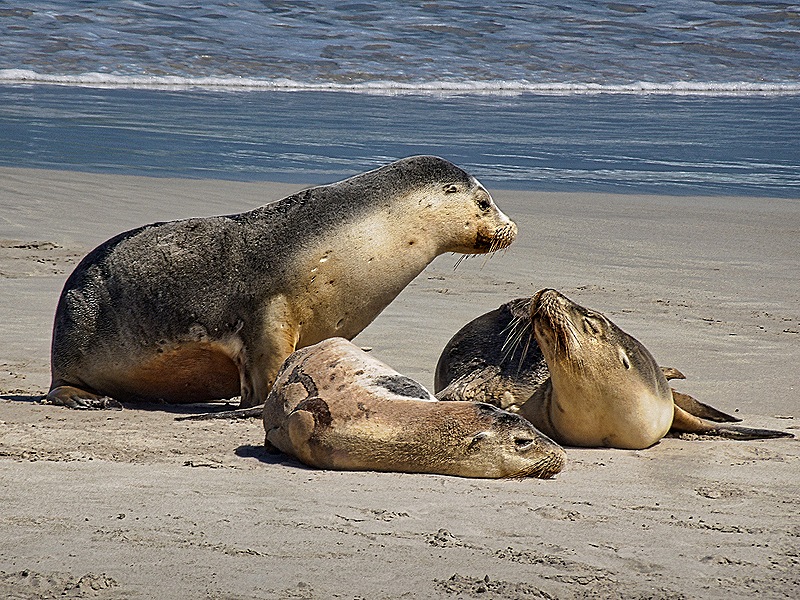
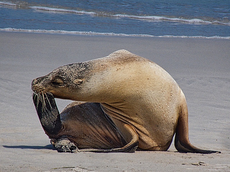
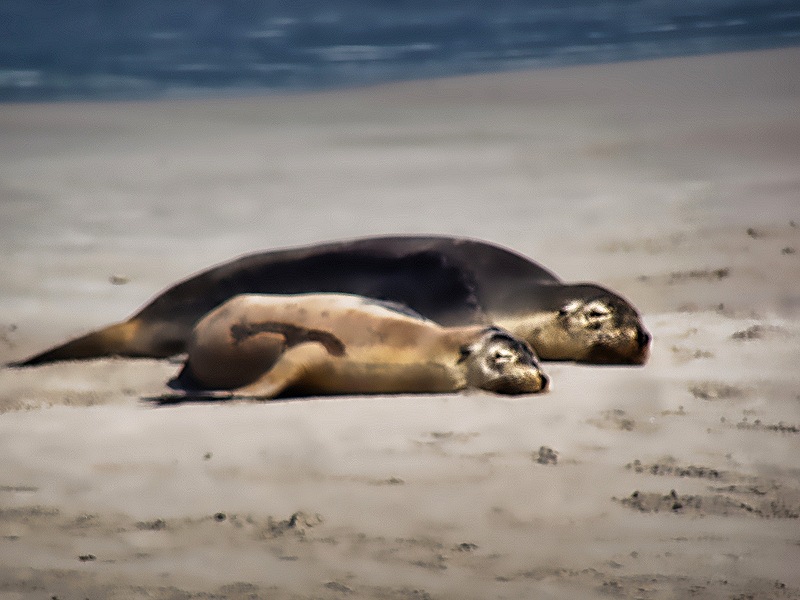
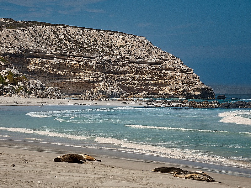
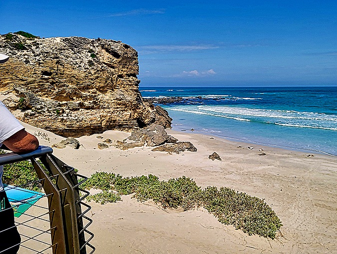
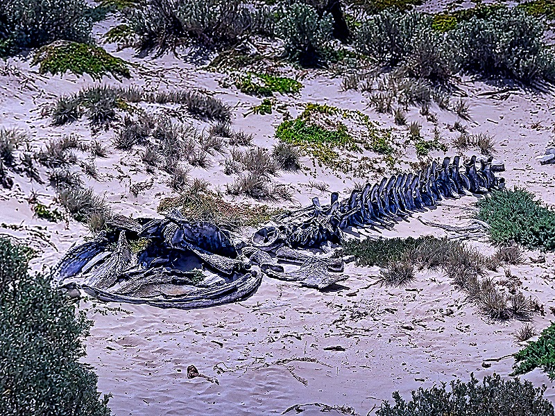
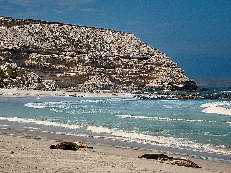
After lunch we boarded the bus once again to drive to Seal Bay, which has been a protected reserve for Australian sea lions since 1954. These sea lions are an endangered species and Seal Bay’s colony of about 800 is the third largest in the world, accounting for about 5% of the total population. When we visited there were only a few dozen at the beach beneath us (possibly more on other parts of the beach). To visit the sea lions required another long walk down a boardwalk from the visitor’s center. Visitors can only step onto the beach in the company of a park ranger, who gives a lot of information and also makes sure no one approaches the sea lions. Rick took the ranger tour on the beach while Mary stayed on a viewing platform at the top of the hill. One thing she saw that those of us on the beach did not was the skeleton of a juvenile humpback whale that washed up in this area during a storm in 1984.
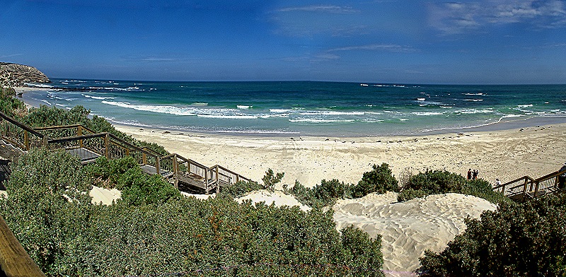
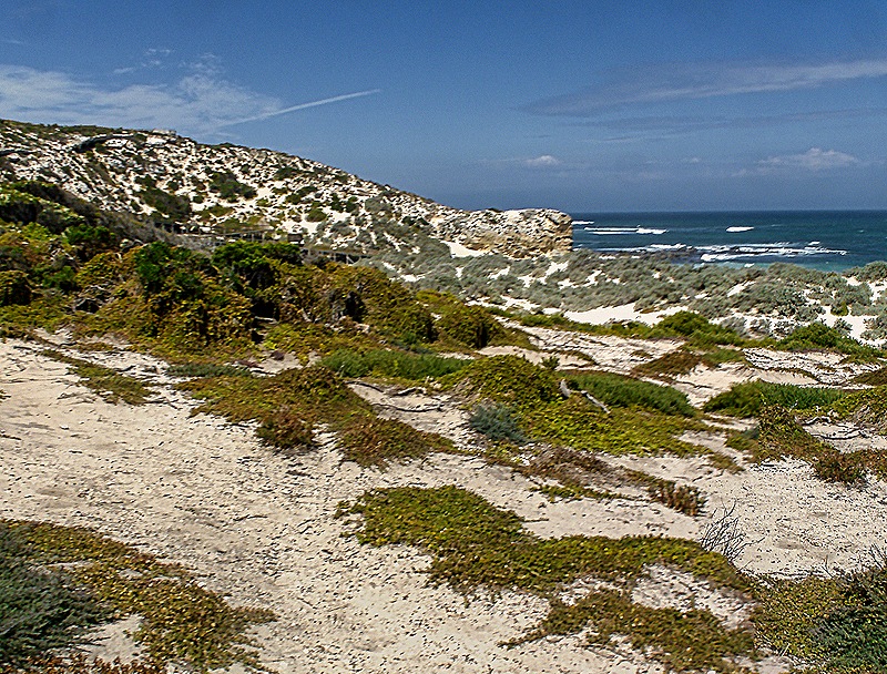
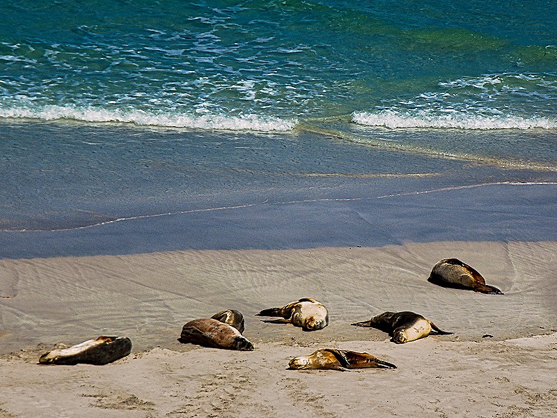
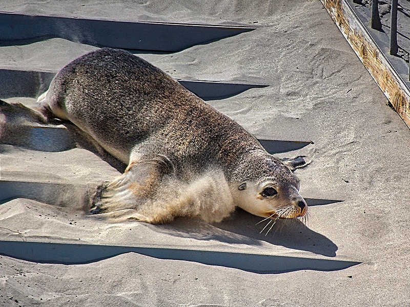
On the beach we were able to walk around a bit to take pictures, but never to walk near the sea lions. The park ranger was quite good at leading the tour and explaining everything, but was careful to corral any wandering visitors. We think these were all females along with their pups, and they really weren’t doing much for the most part. But still quite fun to see.
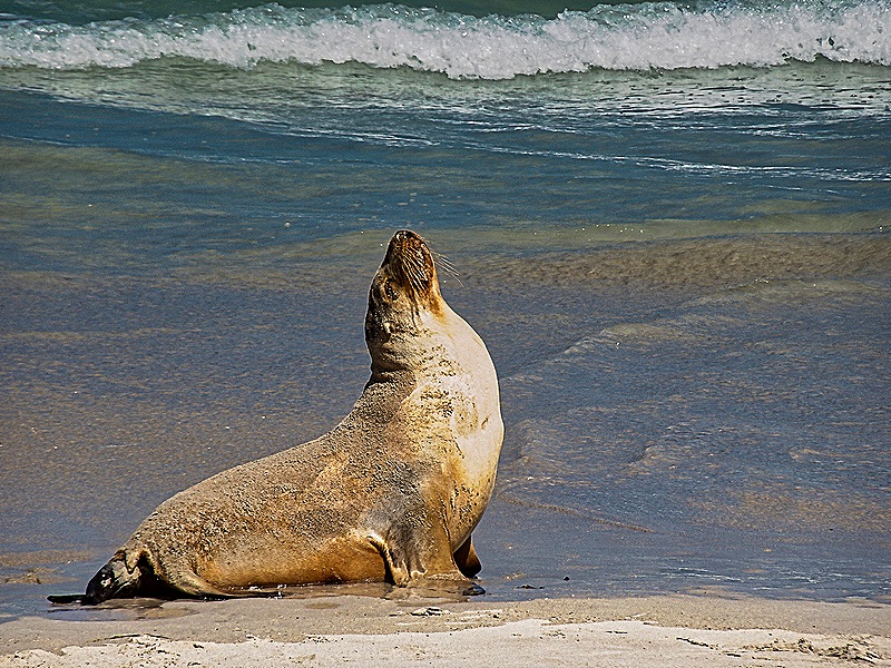
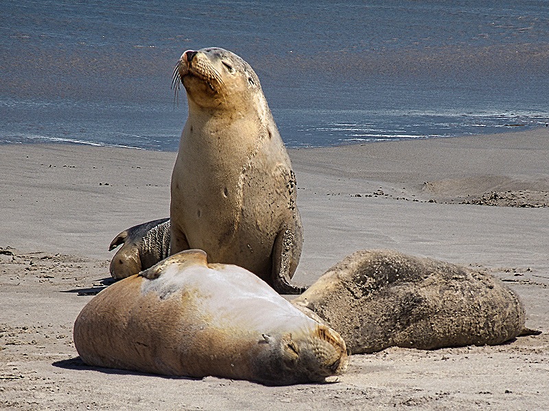
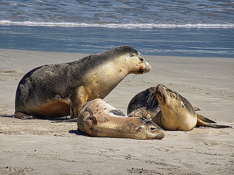
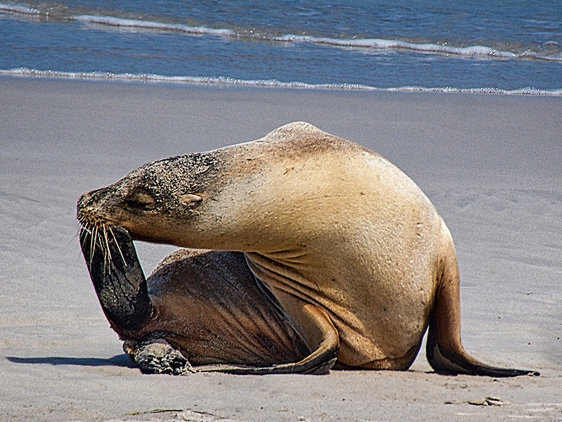
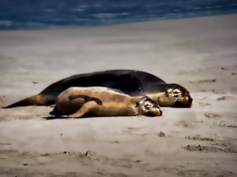
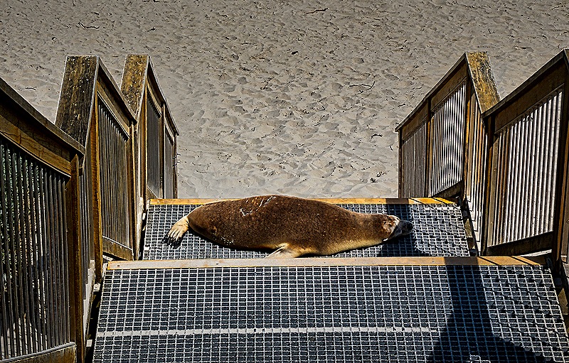
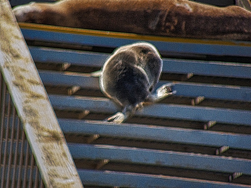
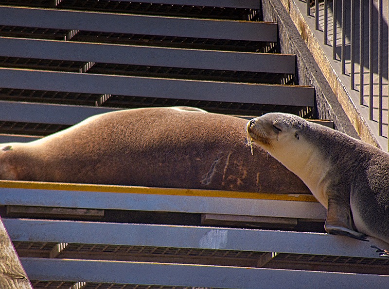
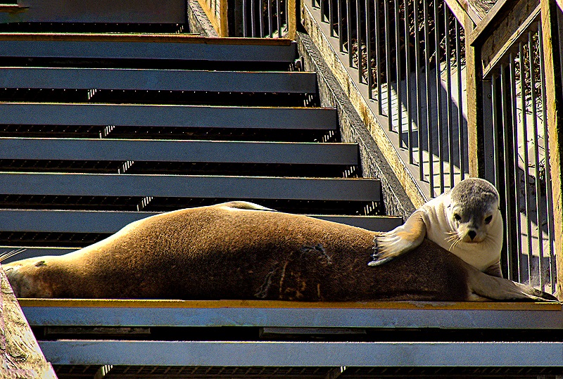
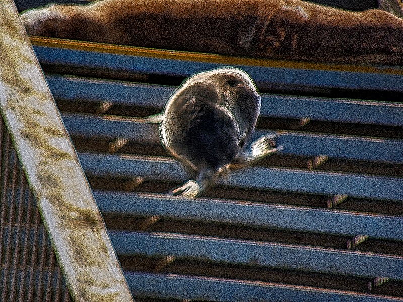
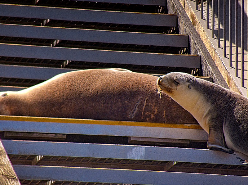
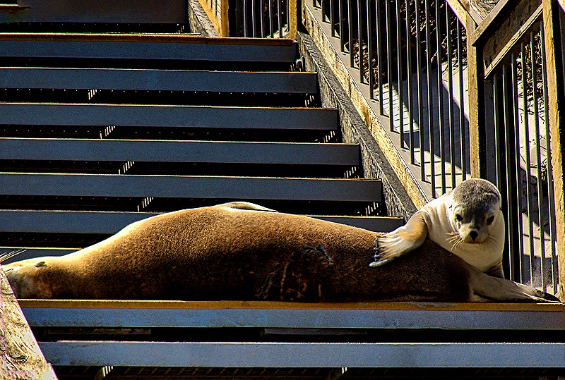
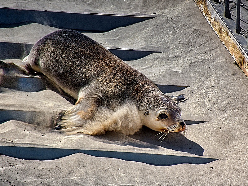
One of the mother seals apparently climbed up one of the wooden stairways, where she stretched out on a step for a nap. But her pup followed her up there later and looked to be interested in lunch. But the mom didn’t respond so the pup went back down to the beach. This was the most activity we saw here.

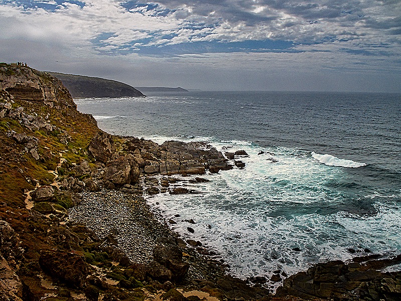
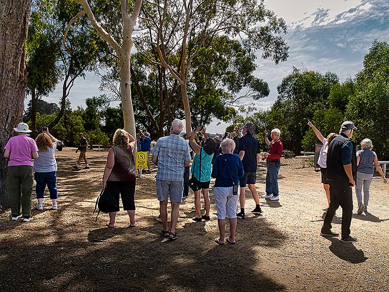
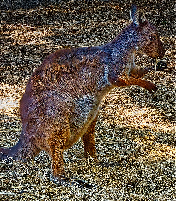
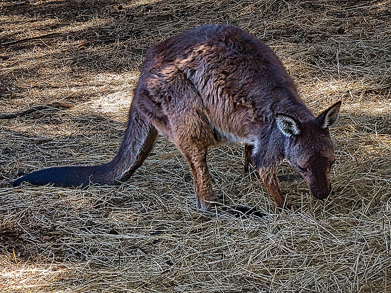
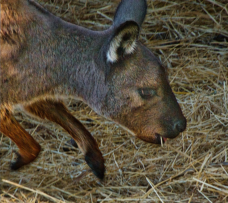
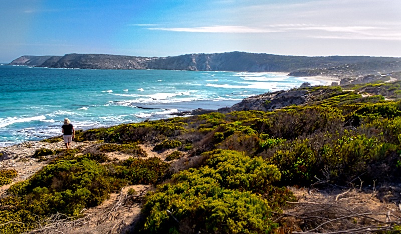
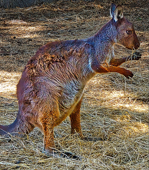
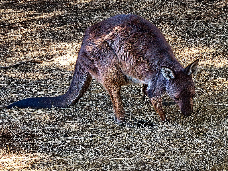
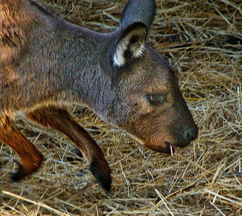
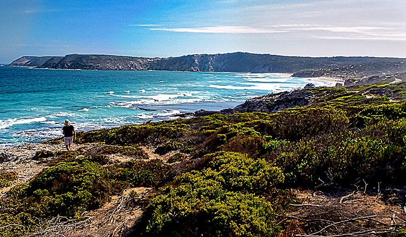
It was time to head back to the tender dock in Penneshaw so we all piled back into the bus. But we made two more stops before the end. First we stopped back at the Emu Ridge facility at the request of some of the passengers. It turned out they have a lot more than just a distillery. There was a cafe and a store where we bought some honey produced by the last pure Ligurian bees in the world, who are only found on Kangaroo Island. An animal rescue operation there had several kangaroos in residence. We also spotted another koala while we were there. The second stop was at an overlook of a large bay that we think our guide Robert told us was called Baudin Beach. Just before we got there Robert gave us a stern lecture that this area was very dangerous, with an unfenced cliff that would be easy to fall over if walking through the rough sand and stones. So he admonished us not to wander beyond the road. Nevertheless, one woman (who you can see in the photo) started walking toward the cliff as soon as she exited the bus. Robert was really furious and yelled at her to come right back, which she reluctantly did.
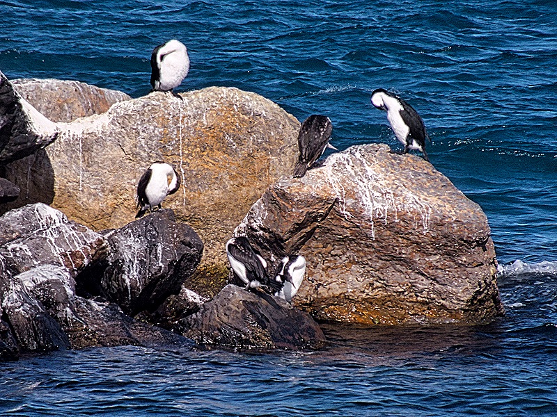
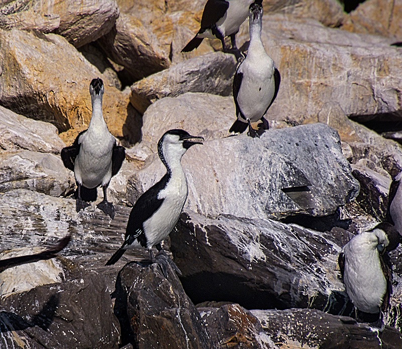
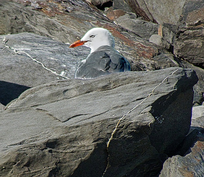
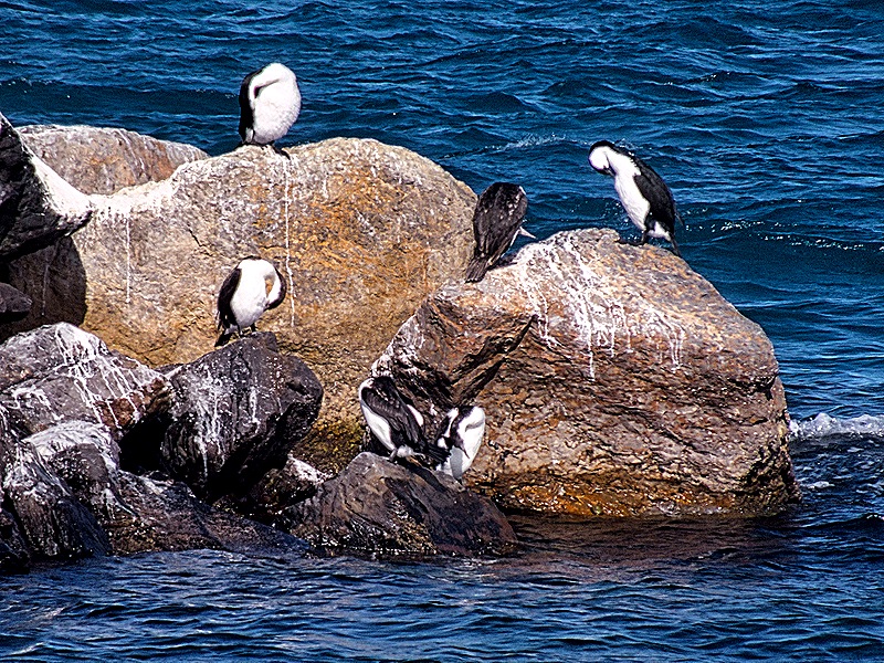
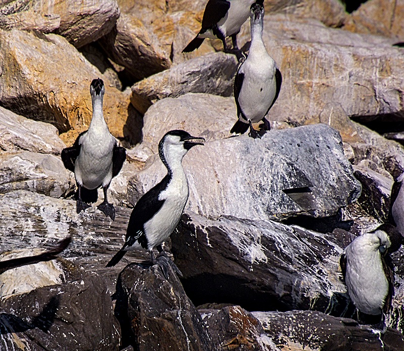
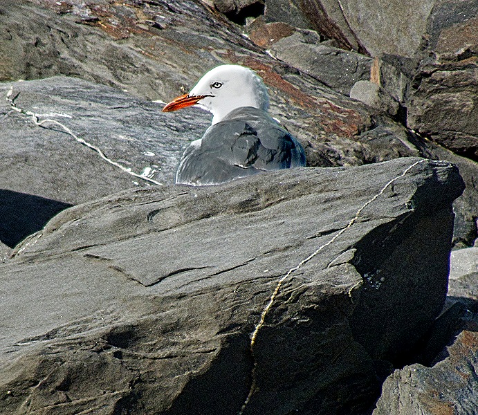
From there it was back to Penneshaw to board the tender back to the ship. It had been an excellent day, starting out seeming like a disappointment but ending up as one of the highlights of the voyage. As the tender pulled away we saw cormorants on the rocks (they were there on our last visit too) and not to be overlooked, a sea gull.
Adelaide (Hahndorf), Australia 2026
It took two sea days to reach the harbor of Adelaide on February 26. The port is a long way from the city so the best way to get there is on a train, which is what we did on our first visit here in 2018. We spent the day on that visit with our friends Bill & Robert exploring the very interesting downtown area of Adelaide, which is the capital of South Australia and a big city of about 1.4 million. You can see that visit here: https://baderjournal.com/2018/07/04/adelaide-australia/.
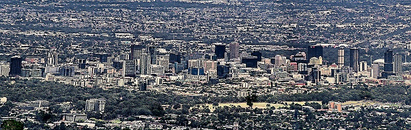
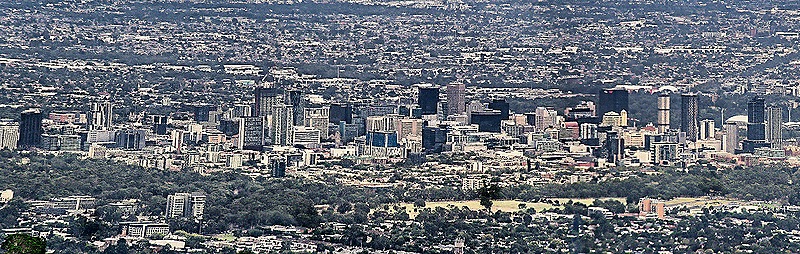
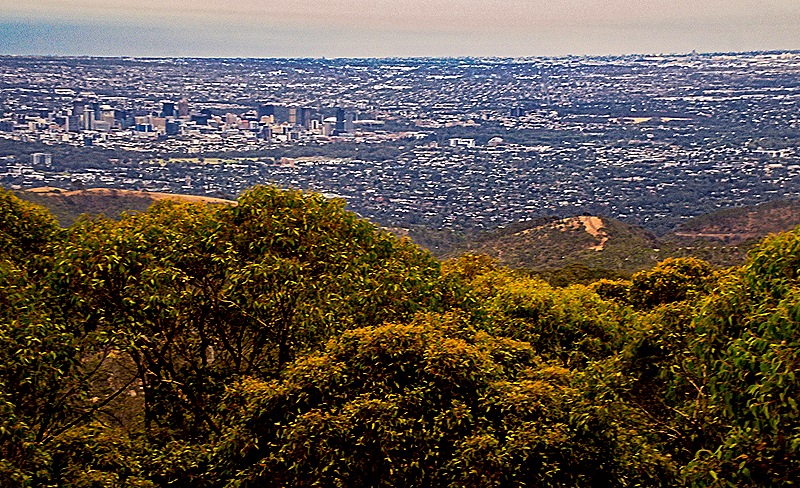
On this visit we wanted to see some of the surrounding countryside so we joined an excursion going into the hill country around Mt Lofty. Our bus drove (and drove some more) through the suburbs into Adelaide, through downtown Adelaide, then up into the hills beyond on the other side from the port. So we saw quite a lot, but from the windows of the bus.
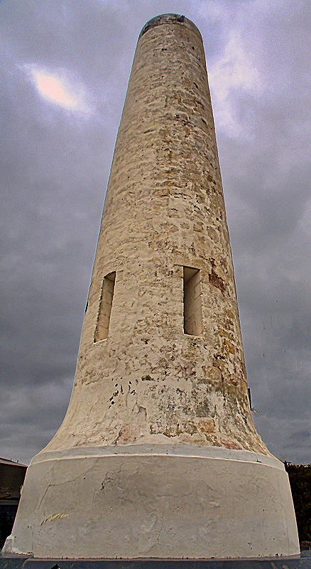
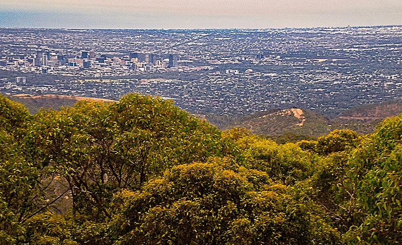
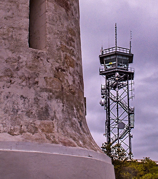
We drove up the 2300 foot Mt Lofty, named by Matthew Flinders in 1802 when he led the first circumnavigation of Australia. In 1885 a tower more than 50 feet tall was erected at the summit to serve as a surveying marker and later as a navigation aid. In 1902 it was named the Flinders Column in honor of Matthew Flinders. Today it is part of a lookout area with panoramic views of Adelaide that includes a gift shop and a cafe. Looking in the opposite direction from Adelaide you can see the more than 100 foot tall Mt Lofty Fire Tower, which has been used since it was built in 1980 to keep watch for forest fires.
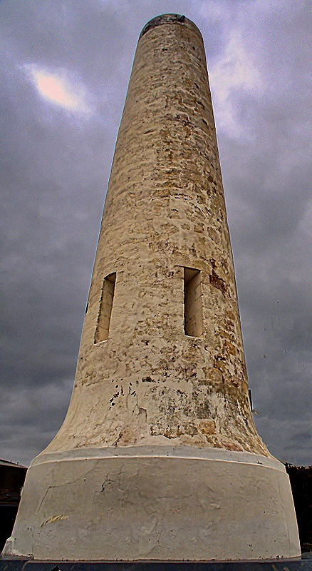
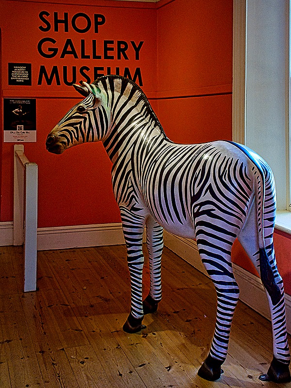
We drove on to our main destination, a small town (population less than 2500) in the mountains called Hahndorf. It was founded in about 1839 by a group of 188 immigrants from a town in Prussia (today it is in Poland) who had sailed from Hamburg on a ship called the Zebra. They were a Lutheran congregation fleeing religious persecution. The voyage took about four months, arriving in South Australia at the end of 1838. They settled together on land they purchased in the Adelaide Hills where they founded a German speaking farming community. They named their settlement Hahndorf after the captain of the Zebra, Dirk Meinerts Hahn, who had taken an interest in the group and was instrumental in helping them find and purchase the land. While some other Germans emigrated to Australia during this period, Hahndorf is the oldest continuing German town in Australia. We understand that descendants of many of the original immigrants still live here.
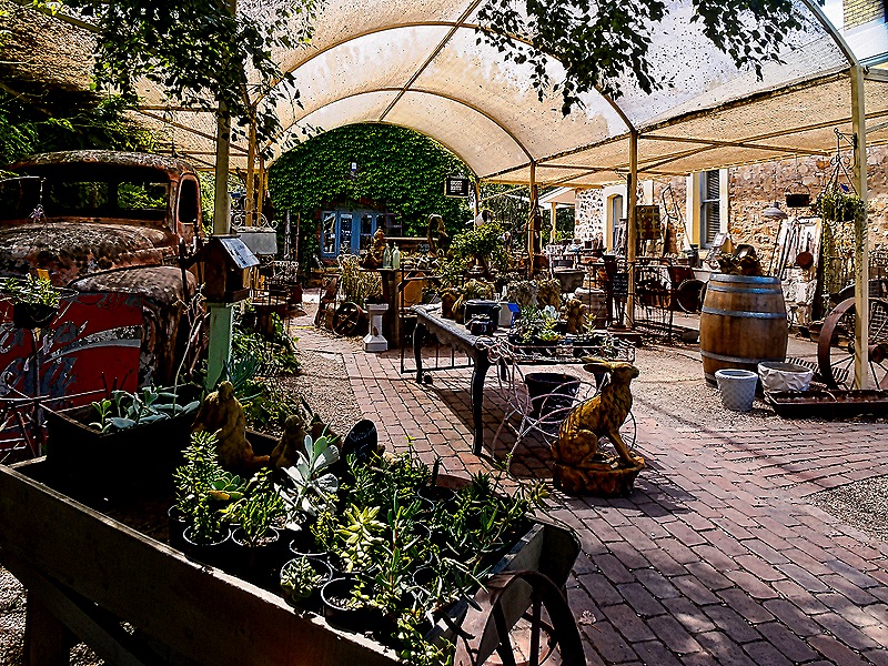
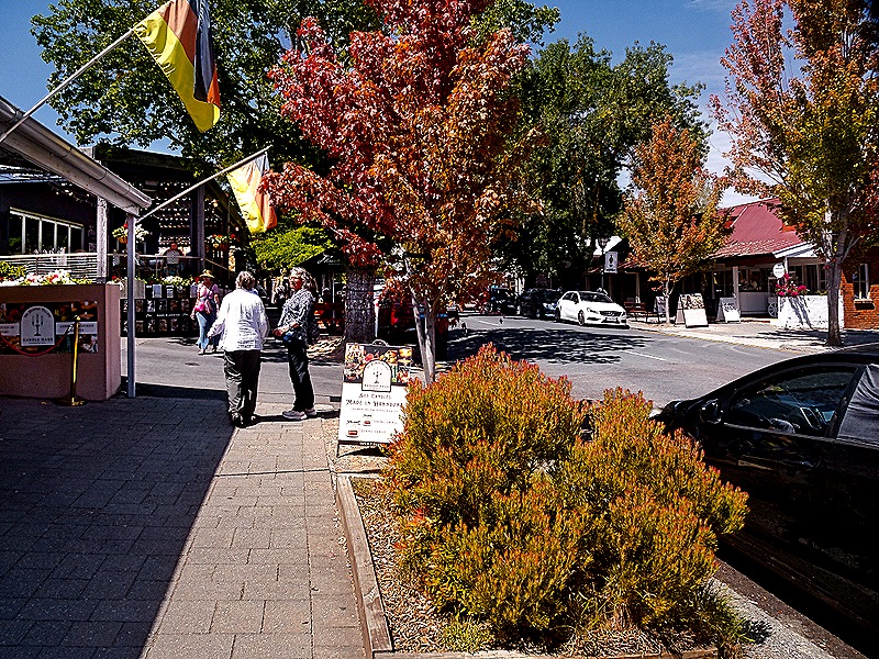
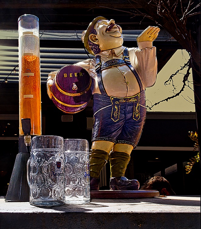
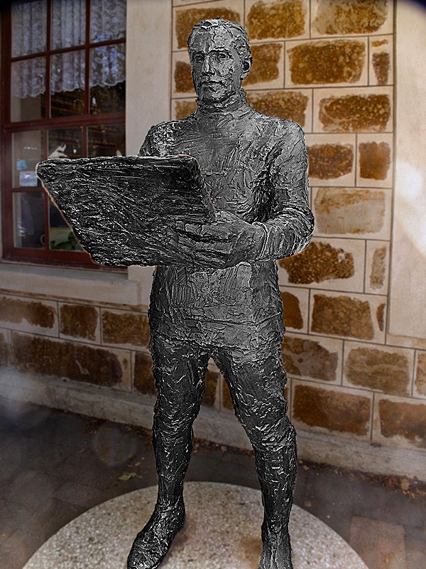
Hahndorf struck us as a rather arty town largely catering to tourists. It was two or three blocks long so we walked up one side and back on the other, passing a number of gift shops, artist galleries and restaurants. There was a museum telling about the town’s history, but it was very small and most of the building seemed to be devoted to the gift shop. There were, however, a couple of nice churches. Pleasant enough, but not the best choice for the one day available in Adelaide. We met up with our friend Karen, who was in town on a different excursion, and we ate in a nice German restaurant called The Haus Hahndorf. Mary and Karen had Reuben sandwiches on a pretzel bun and Rick had a very good sausage platter with sauerkraut and a big bready pretzel. Among other things we saw while walking around town was a statue of Captain Hahn and a very Bavarian looking beer advertisement in front of the restaurant.
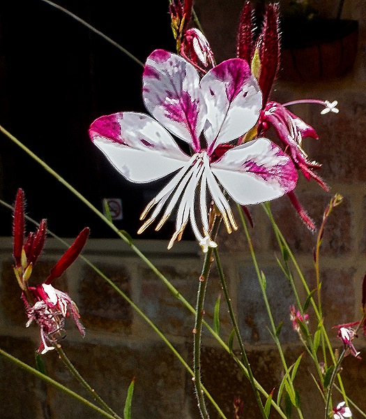
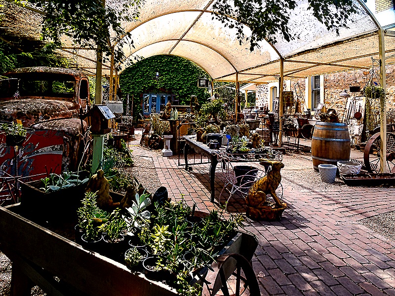
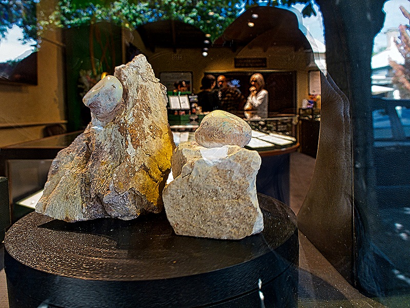
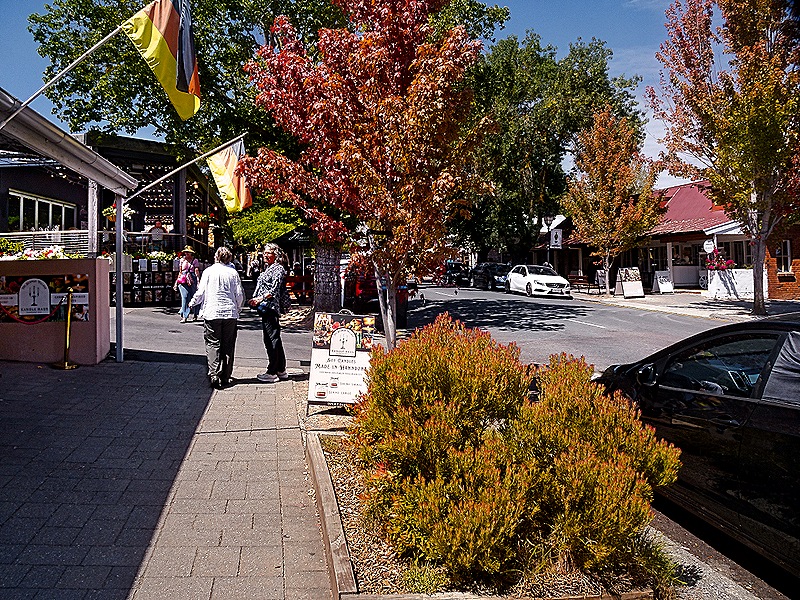
After lunch we found a gelato place for dessert, then returned to the bus for the drive back to the ship. It was early autumn and the streets of this town in the mountains were quite colorful and made for a pleasant walk, as you can see Mary and Karen enjoying that in the picture below.
Albany, Australia 2026
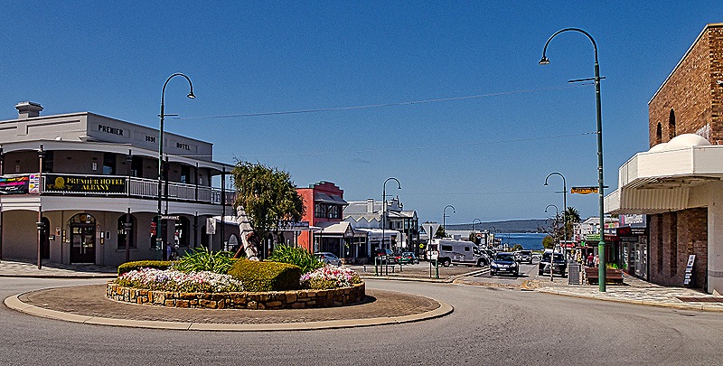
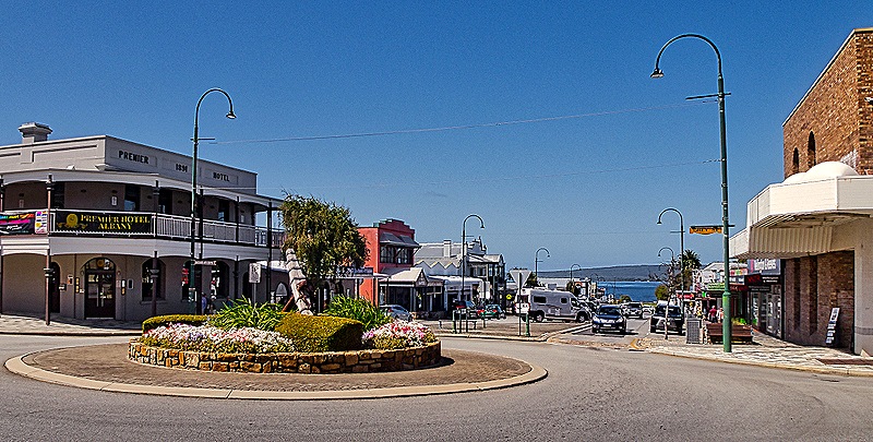
We spent February 23 in Albany, the oldest town in Western Australia. Founded in 1826, Albany now has a population around 35,000. We had an interesting visit here in 2018, https://baderjournal.com/2018/07/06/albany-australia/, most of which will not be repeated in this episode. This time we took the shuttle bus into the center of town and walked around from there.
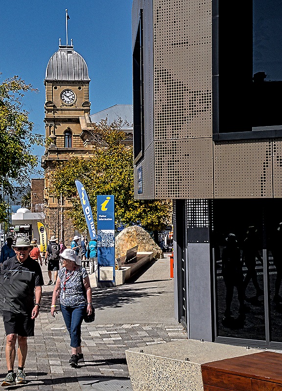
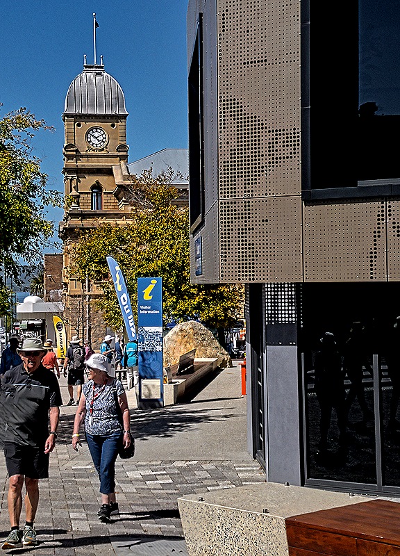
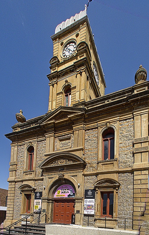
The most noticeable building as we left the bus on York Street, the town’s main street, was the old town hall with its tall clocktower. The building opened in 1888 and the clock, imported from England, was added in 1891. Today the building houses a theater and an art gallery and markets often appear in the open space next door, as one did the day we were there.
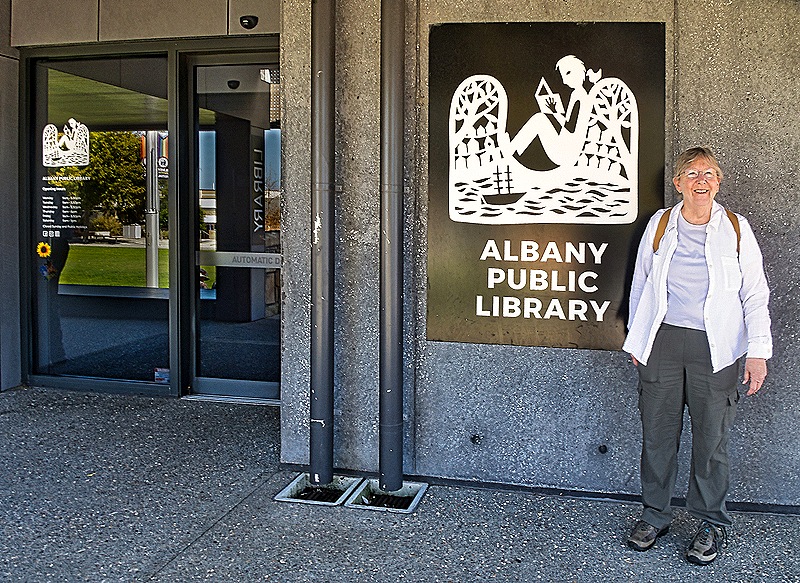
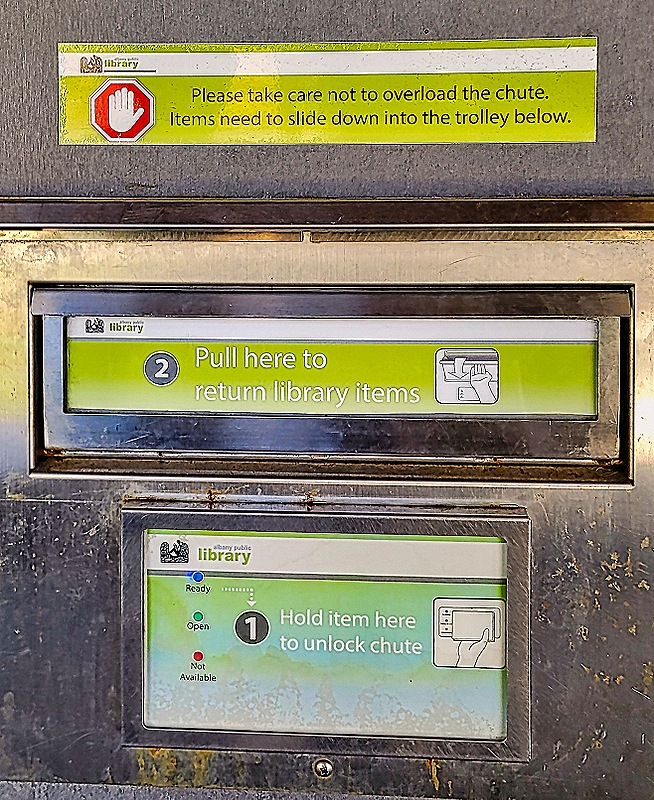
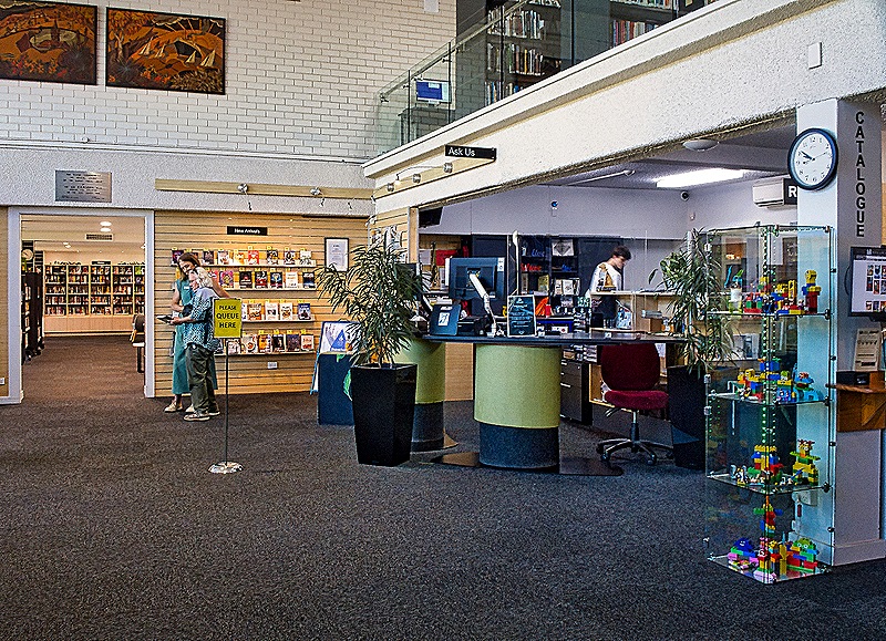
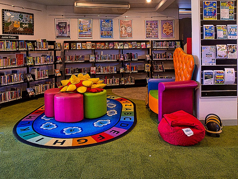
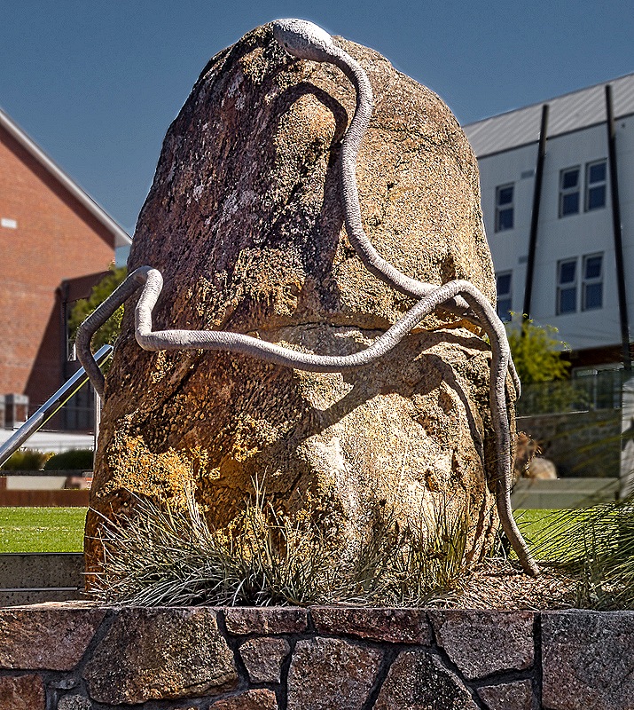
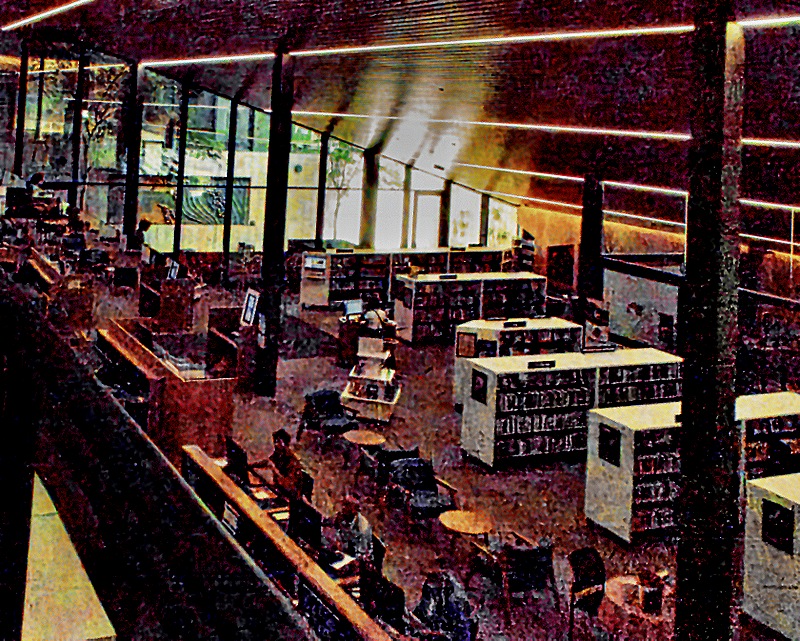
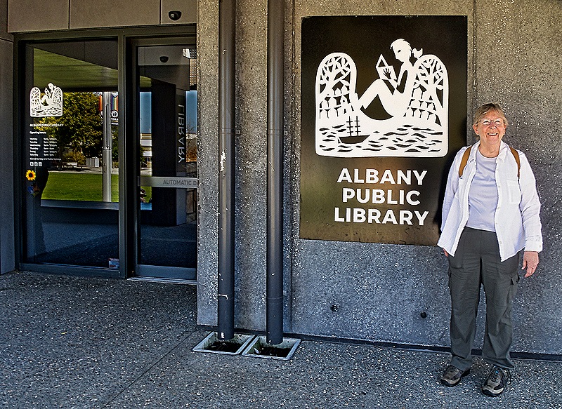
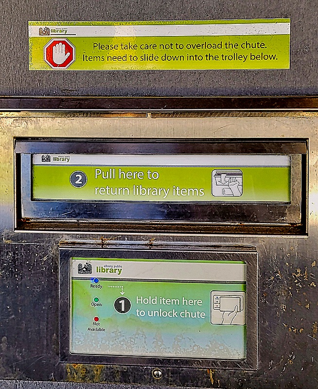
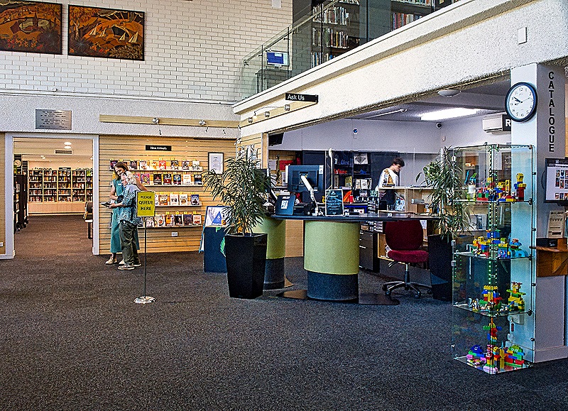
Just up the street from the town hall was the Albany Public Library. Although it traces its history to the Albany Mechanics Institute formed in 1852, today it occupies a modern building that opened in 2003 (and was being renovated when we visited in 2018). The library has a nice program lending ipads to seniors who may not otherwise be able to read ebooks. And its high tech book drop requires you to scan the book you are returning to open the slot, presumably to discourage the deposit of non-library objects. After walking through the library we left by a back door into an open field and at the top of the stairs was a large boulder with a metal snake sculpture climbing around it. This town has many sculptures decorating its open spaces.
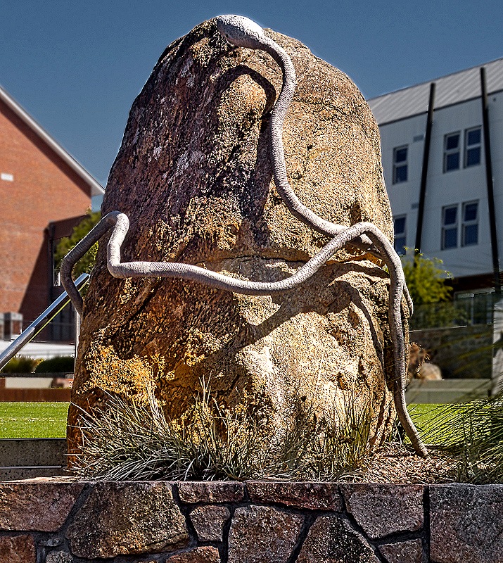
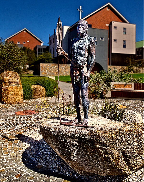
Mokare was a Noongal Aboriginal man who was instrumental in promoting peaceful coexistence between the Aboriginal and European communities during the early years of settlement (and even before then). Mokare was living with the government resident, Alexander Collie, when he died in 1831. Four years later Collie, at his request, was buried next to Mokare on a spot where the town hall now sits. The graves were exhumed and Collie was reburied in Albany’s cemetery, but there is no information about what happened to Mokare’s remains.
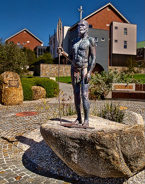
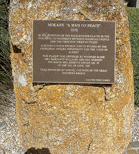
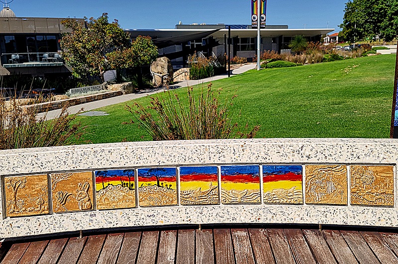
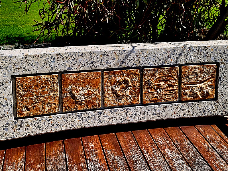
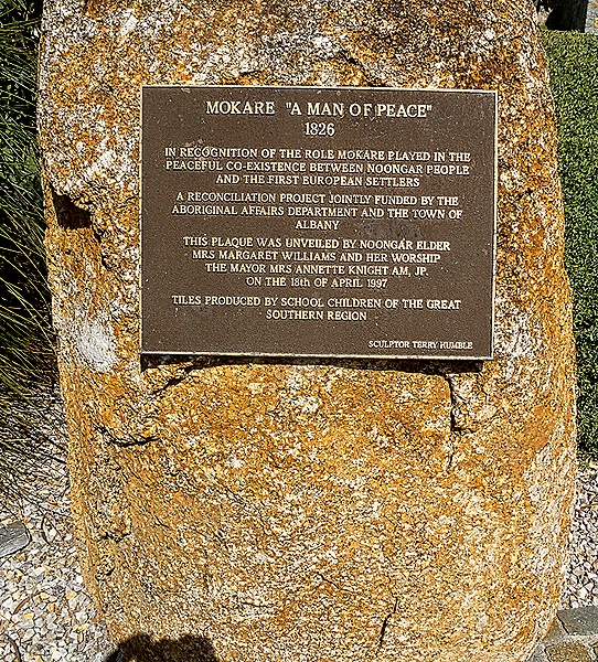
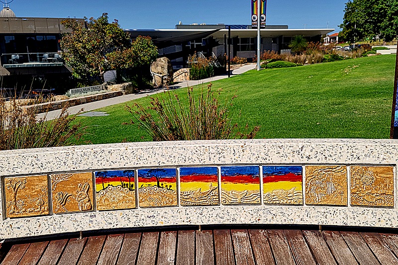
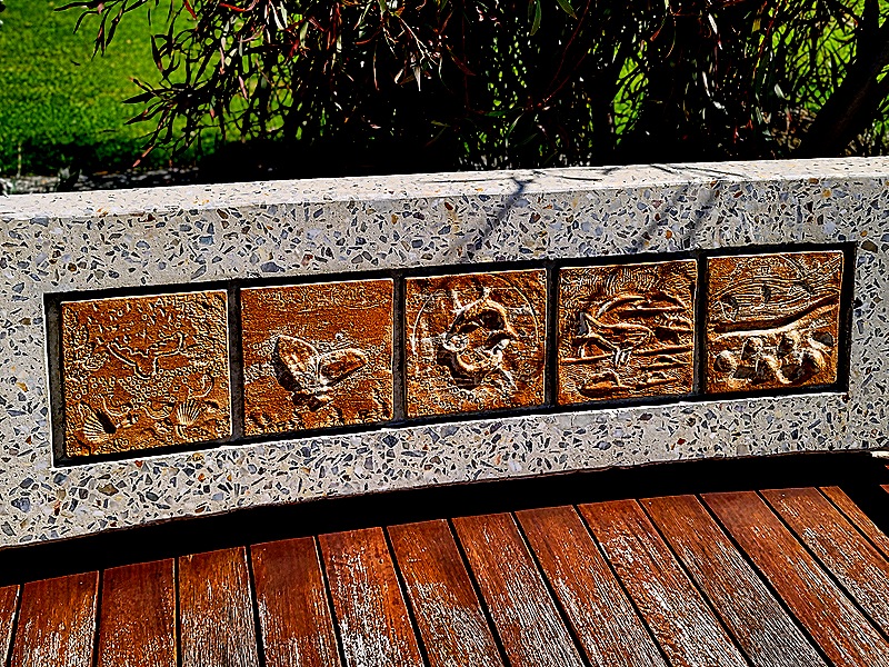
Today there is a statue of Mokare in Alison Hartman Gardens next to the library. It was first erected here in 1978. Nearby is a plaque mounted on a boulder explaining that this was a joint reconciliation project “funded by the Aboriginal Affairs Department and the Town of Albany.” The statue stands on a round brick platform with low walls embedded with tiles created by regional school children.
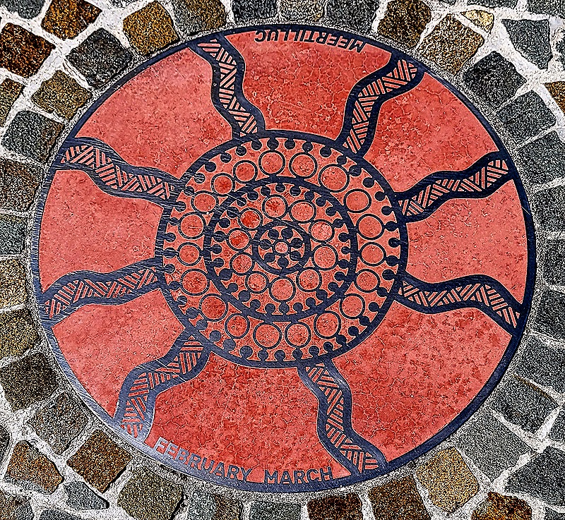
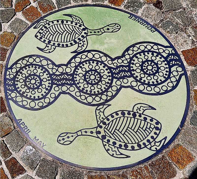
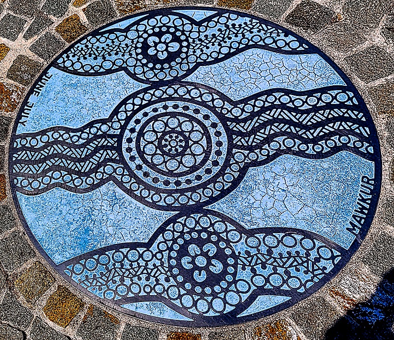
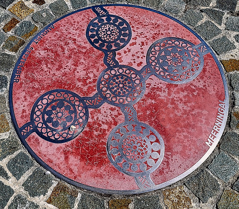
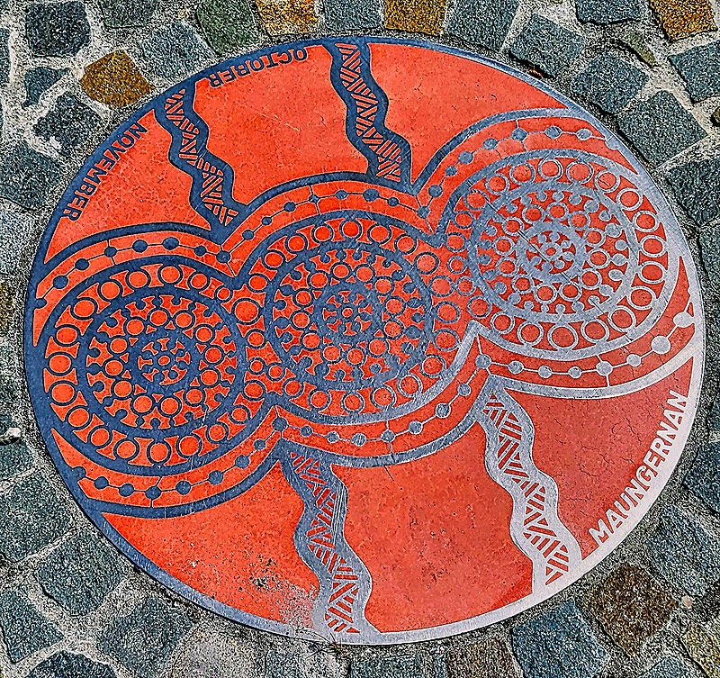
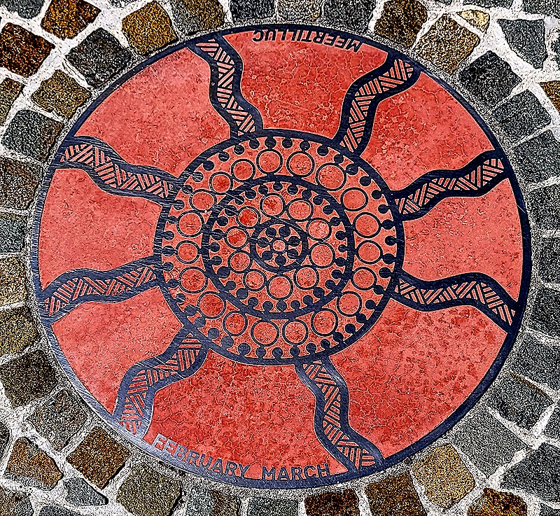
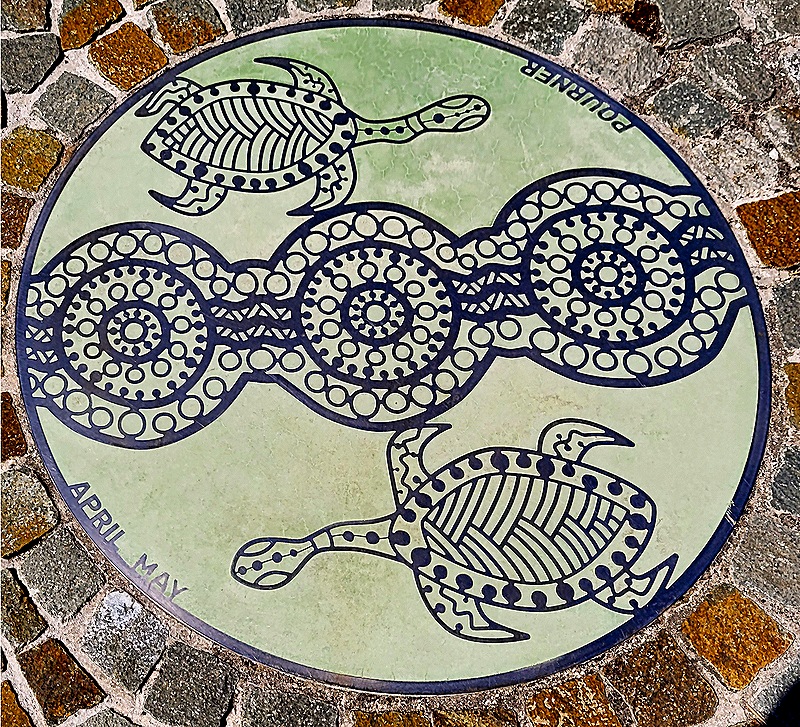
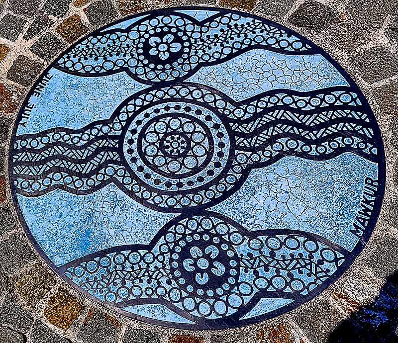
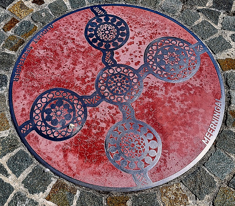
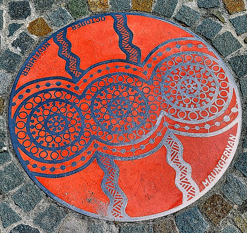
In the platform floor are several colorful round medallions representing the Aboriginal seasons created by local Aboriginal artists. Each plaque includes Aboriginal symbols representing the weather during that season, with the English months and the indigenous name for that season written along opposite edges. Below are five of them: Meertilluc (Feb – March) Reddish color represents heat and the symbols represent the sun; Pourner (Apr – May) Circular symbols represent water holes and depictions of turtles that are hunted during this season; Mawkur (June – July) Lines and blue dots represent rivers full with heavy rain and u-shaped figures represent people sitting around fires to keep warm; Meerningal (Aug –Sept) Spring in the southern hemisphere, so the circles represent blossoming flowers and berries and the connecting lines represent roots; Maungernan (Oct – Nov) Symbols depict banksia flowers that appear during this period and the orange also represents warming temperatures. Beruc (Dec – Jan) was there as well but we don’t have a picture of it.
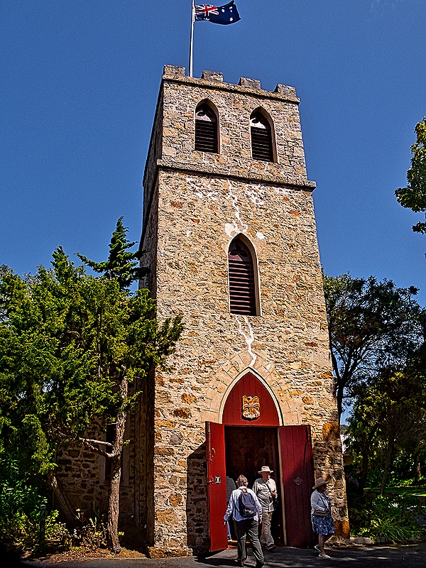
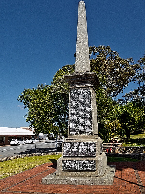
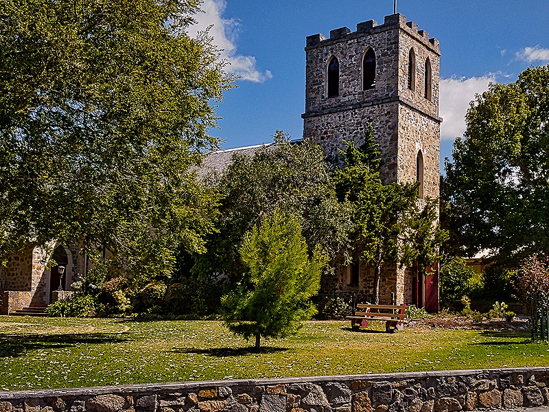
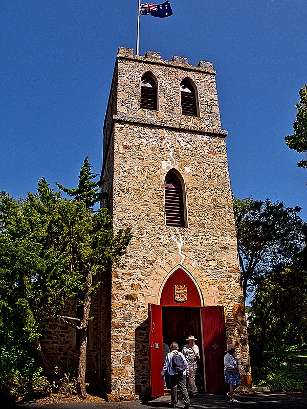
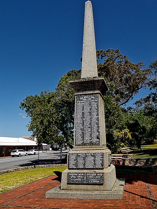
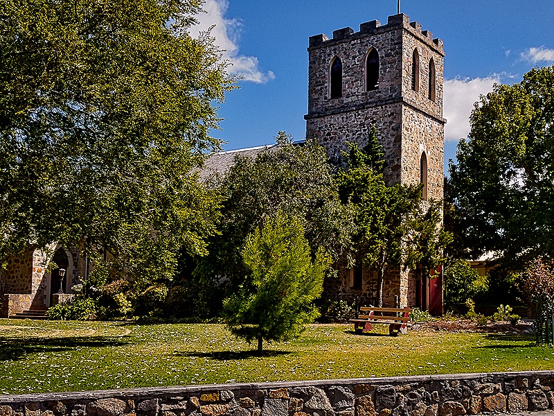
We walked down York Street, which gets steeper as it descends toward the bay. We stopped to see St John’s Anglican Church, the oldest consecrated church in Western Australia, which opened in 1848. It was built of local stone by the people of the town and could have held the entire population of 170 when it first opened. The church and rectory are in a park-like setting with nice gardens. While the outer doors were open when we visited the inner doors were locked so we could not go inside. On the grounds is the Albany War Memorial, unveiled in 1921 to honor locals who served in World War I. Plaques with the names of soldiers from World War II and Korea were added later.
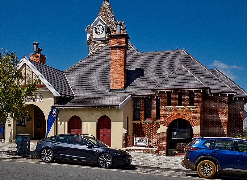
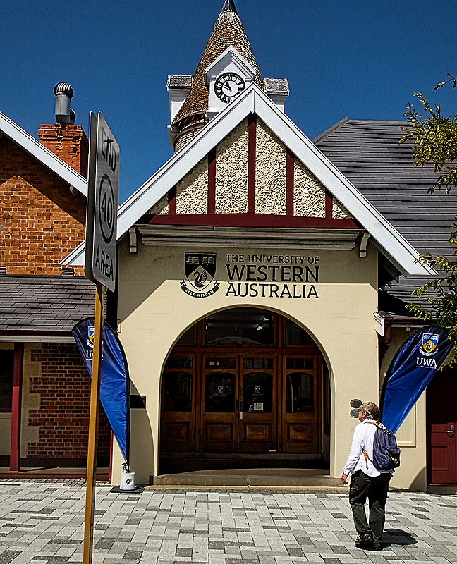
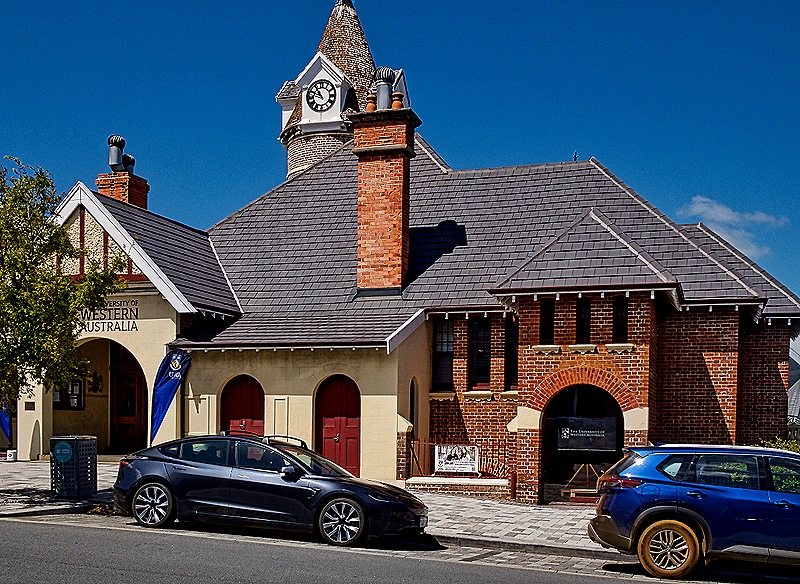
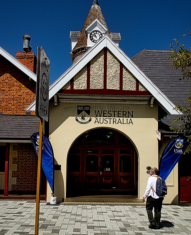
We continued down York Street and turned left on Stirling Terrace, then walked on to the old post office. Originally built in 1869, the building was expanded in 1895 when the clock tower, then about 64 feet tall, was added (it was extended another 20 feet in 1901). The clock tower contains a spiral staircase supported by the outer wall. The building also served as a courthouse in its early years and in the 1870’s was the site of the town’s first telegraph office. It served as the city’s post office until 1964 and since 2002 it has been part of the University of Western Australia. It is an attractive building.
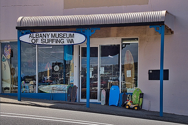
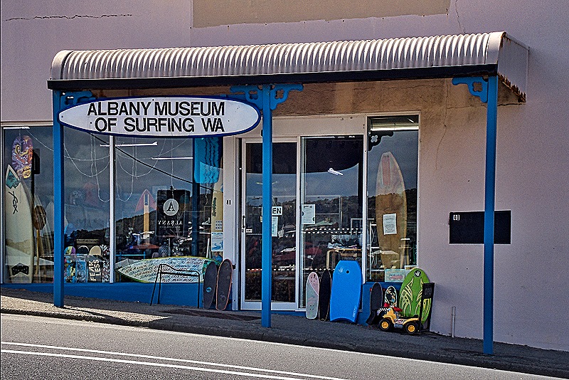
On the way back toward York Street we walked up the very steep Spencer Street to see the Albany Museum of Surfing, which sounded pretty interesting. But looking through the large window when we got there it looked like just a thrift shop with a few surfing items in the window. It may be that more surfing artifacts are on display further into the shop but we will never know because we decided not to go inside.
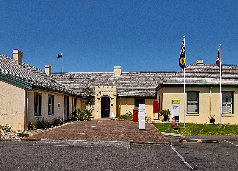
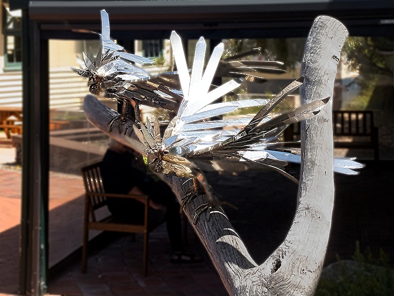
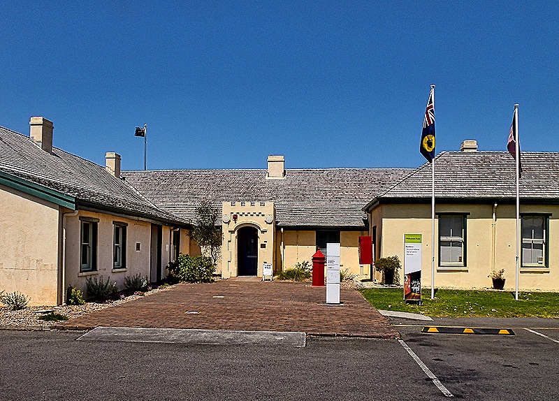
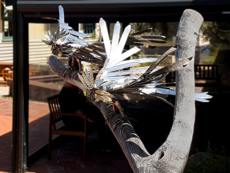
We continued our walk down Stirling Terrace past York Street and after a while came to the Museum of the Great Southern off to our left. The museum was small (and free) but pretty comprehensive. It covered Aboriginal history, western colonization, convict history, early whaling, local natural history and Albany’s experience as the departure port for the ANZAC troops in World War I. There was also a good exhibition about Chinese immigration to Australia over several decades and an informative exhibit about the effects of the White Australia Policy (under which nonwhites were barred from emigrating here). The museum was full of interesting photos and explanatory placards but seemed a little light on artifacts, which is why we took no inside pictures. The museum is on the site of the first European settlement here and part of the museum (we think the left side in the picture below) is the Residency Building constructed in 1850 to house the government representative in town. We didn’t go inside the Eclipse Building but we did walk up as far as its front porch where we saw some interesting metal bird sculptures.
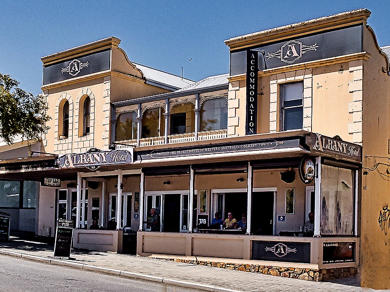
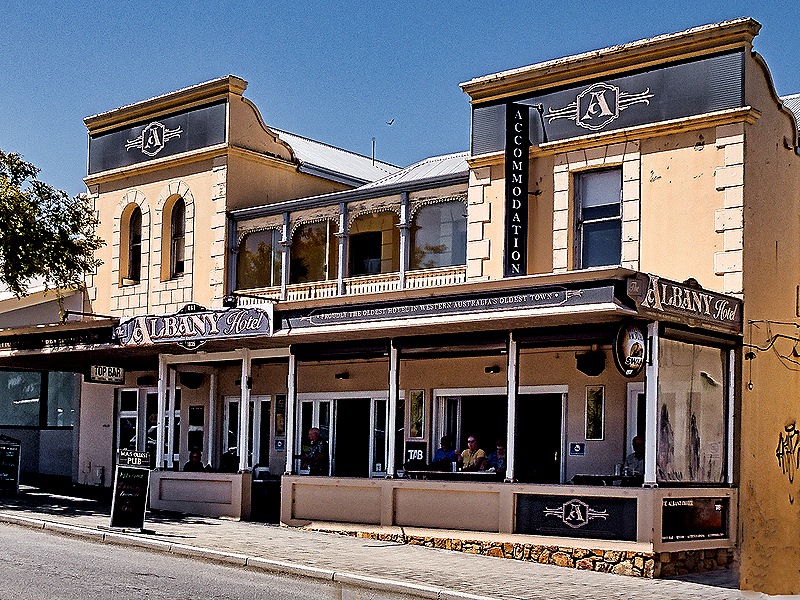
Tired and hungry we walked back up York Street to have lunch at the pub in the Albany Hotel where we ate on our first visit. Across the street from the town hall, it is billed as the oldest licensed pub in Western Australia (apparently another pub in the state is older but wasn’t licensed when it opened . . . what good is a pub without a liquor license?). The pub dates back to 1836 but the hotel wasn’t built until 1852. We had delicious fish and chips here as we did the first time, although the waiter (who must be new, we guess) didn’t know they served fish and chips. You can eat on the front porch, but that was too hot for us.
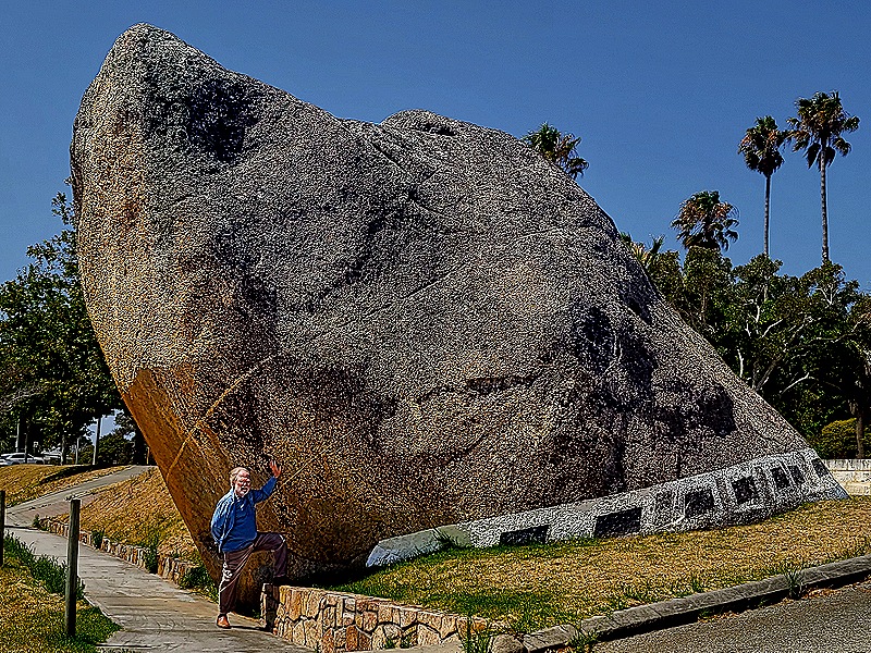
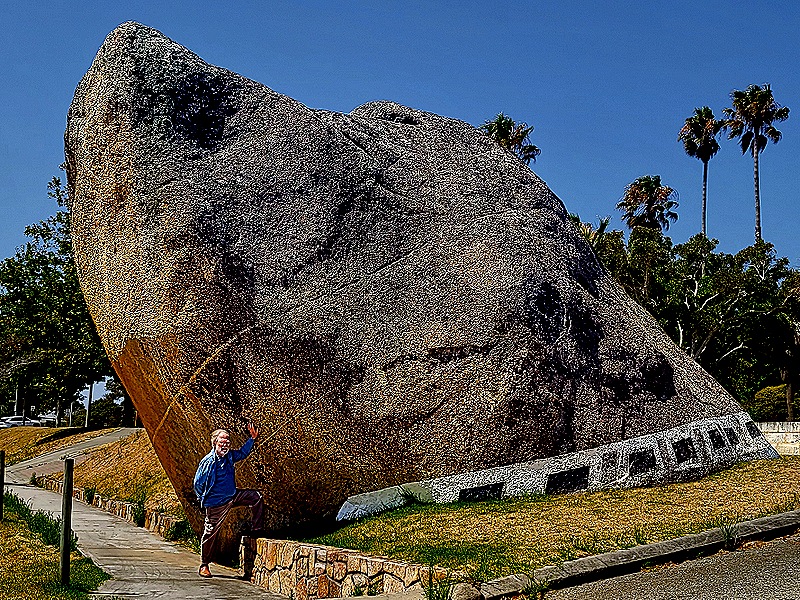
After lunch we looked for awhile for a gelato place but all in vain. So we walked a few blocks to the last thing we wanted to visit, Dog Rock. It was a longer walk than we remembered from our last visit but maybe that was just due to the hot weather. Dog Rock is a natural granite outcrop that has been known to the Noongar Aboriginal people as Yacka (“wild dog tamed”) for a long time and it is thought to have been an ancient territory marker. The black and white dog collar was first painted around the base in 1937 when the Automobile Club complained that it was a traffic danger because it extended into the road.
If you have followed our travels you may notice something missing in this picture: Rick’s hat, which he always wears ashore to avoid sun damage. Well, Rick suddenly noticed that too and realized the hat had been left in the pub! So we walked all the way back there, a little quicker than we would have otherwise for fear it might otherwise be gone. It turned out that they had found the hat after we left and another group from the Zaandam sitting at a table on the front porch recognized it and offered to take it back to the ship. They were still there when we arrived back and were happy to turn it over to us. All’s well that ends well, right? The shuttle stop was right across the street, so we boarded the bus and returned to the ship.
Fremantle, Australia (Day 2) 2026
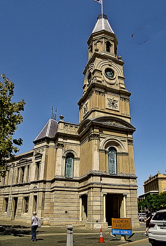
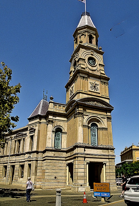
After a pretty intense day of exploring Perth we spent our second day here, February 21, on a fairly relaxed walk around Fremantle. A railroad separates the cruise port from the city but on our last visit in 2018, which you can see here: https://baderjournal.com/2018/07/09/freemantle-australia/ , there was a large metal overpass for pedestrians to cross the tracks. For some reason that is now gone but there was a shuttle bus to downtown. So about 10 AM we boarded the bus with our friends Karen and Donna to ride in to the Town Hall.
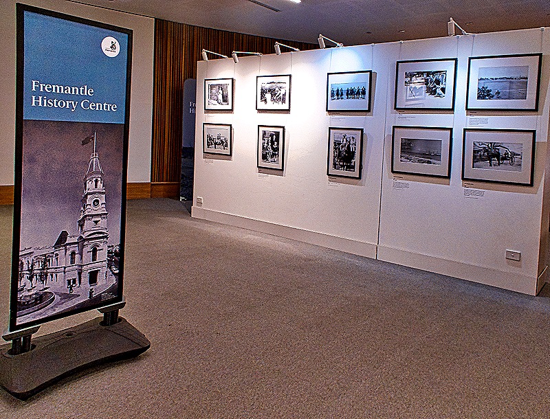
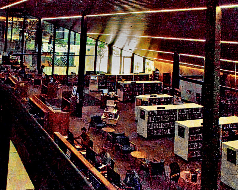
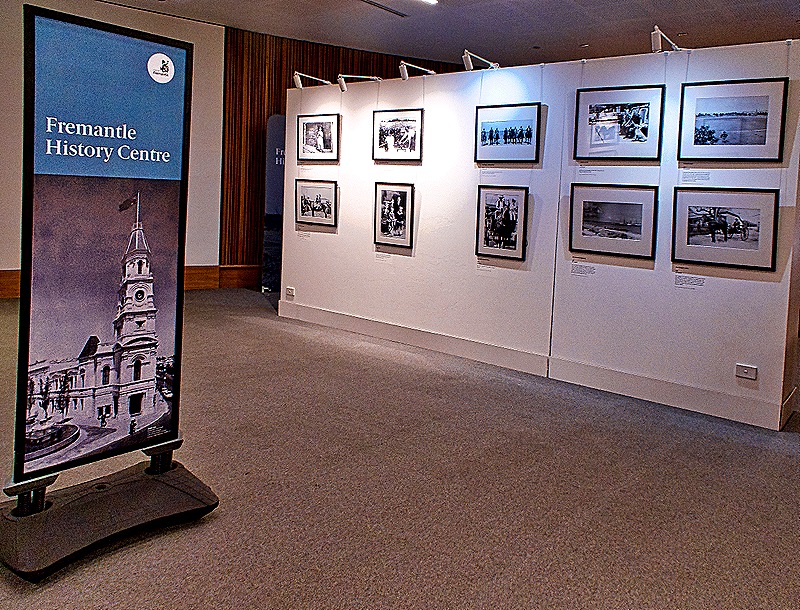
The Fremantle Library is in the Walyalup Civic Center building next door, so of course that is where we headed. The Fremantle History Centre was exhibiting an interesting collection of old photos of Fremantle in the library and we spent some time looking at it.
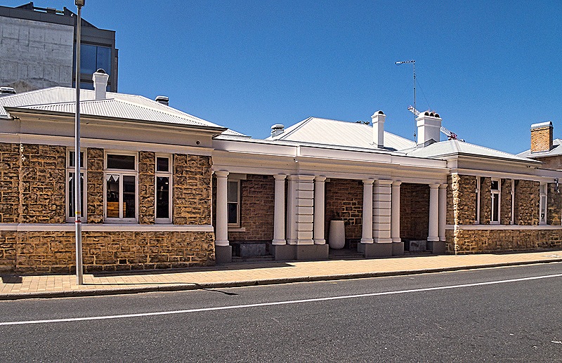
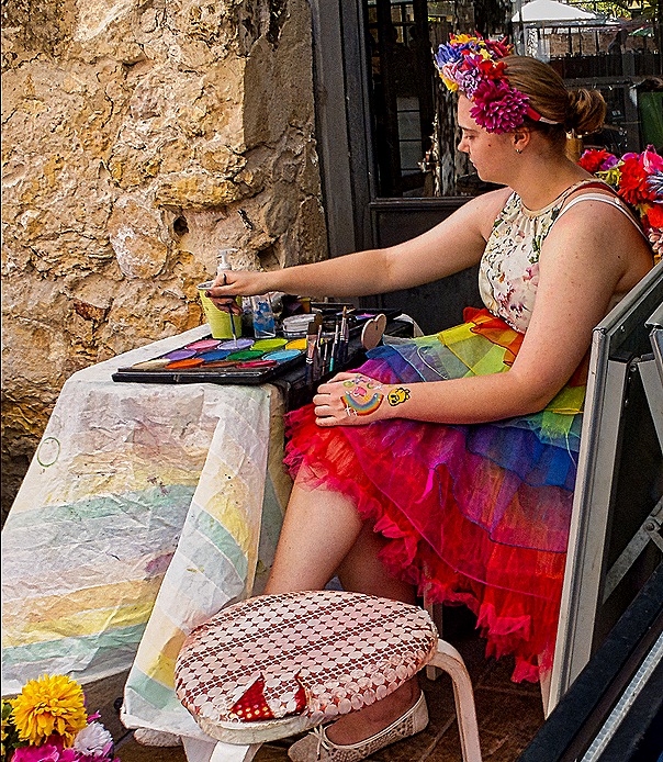
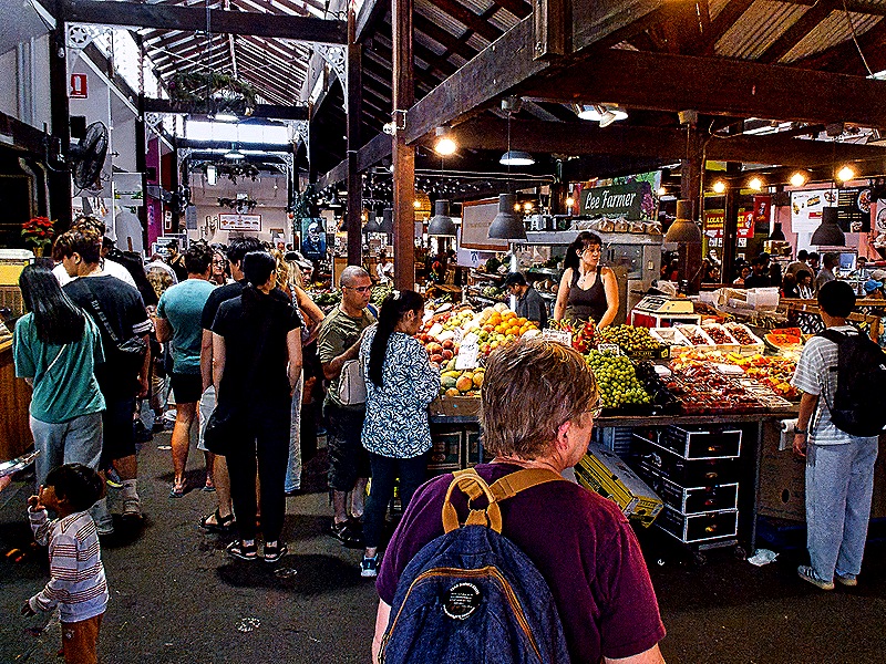
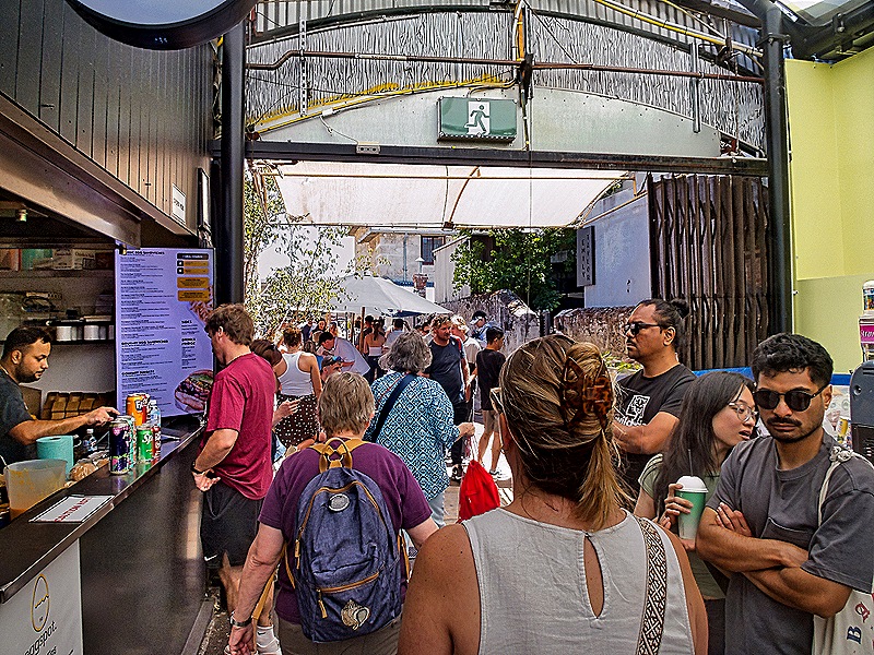
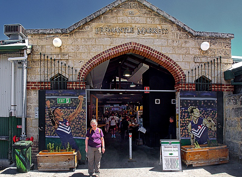
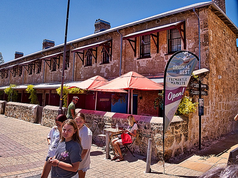
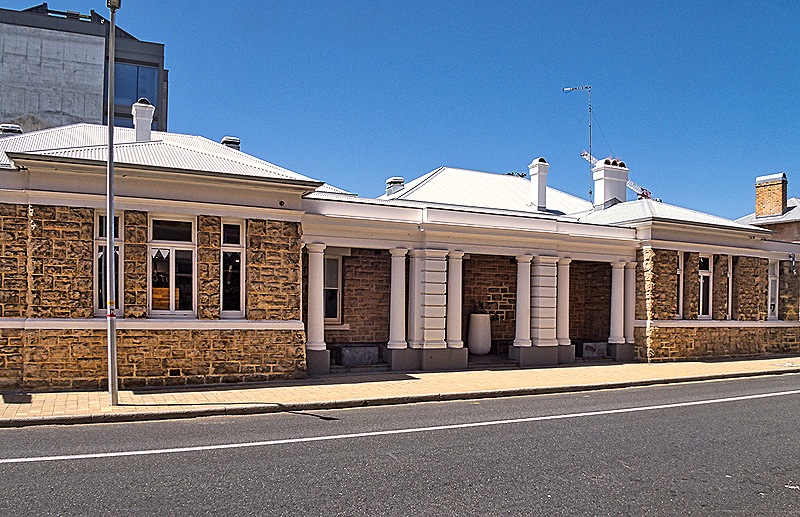
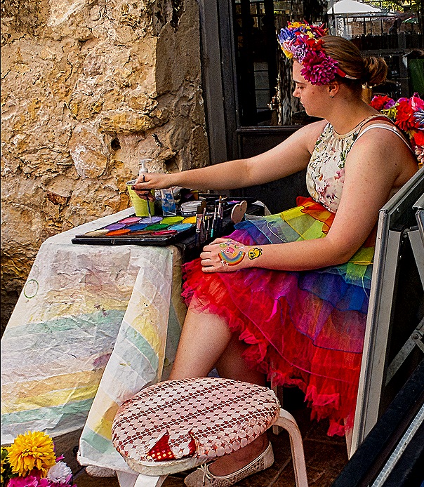
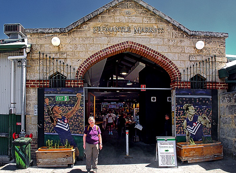
After looking through a few stores for some items Karen and Donna needed we headed to the Fremantle Markets. On the way we passed the Old Courthouse, built by convict labor and opened in 1899. It served as a courthouse from 1899 until 2001, then was renovated and reopened as a bar in 2021. The Fremantle Markets are only open on weekends so when we went there on a Wednesday in 2018 they were closed. This time it was Saturday and the markets were jumping. By the entrance a colorfully dressed woman was painting (pictures, not the building).
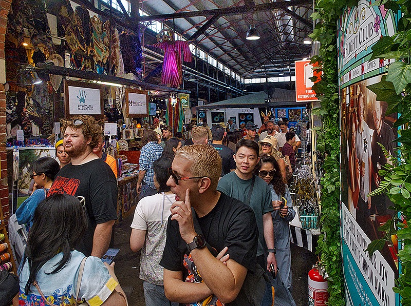
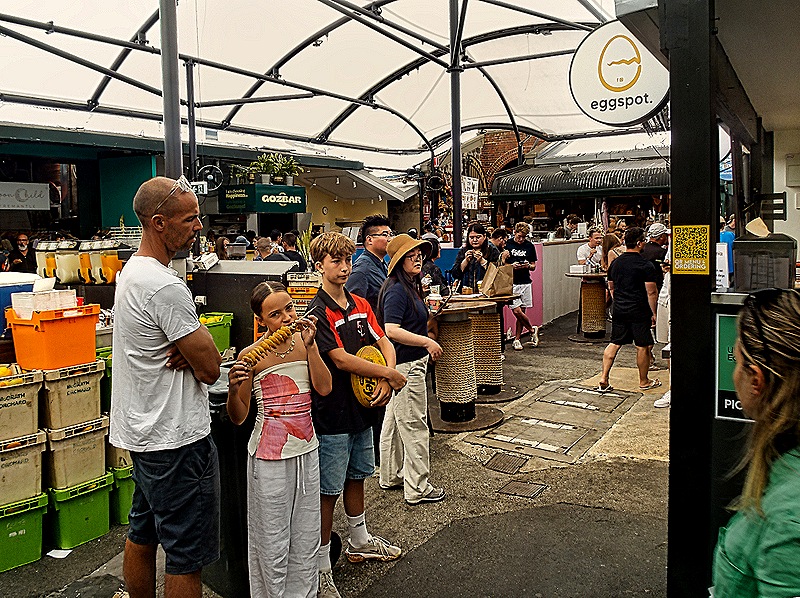
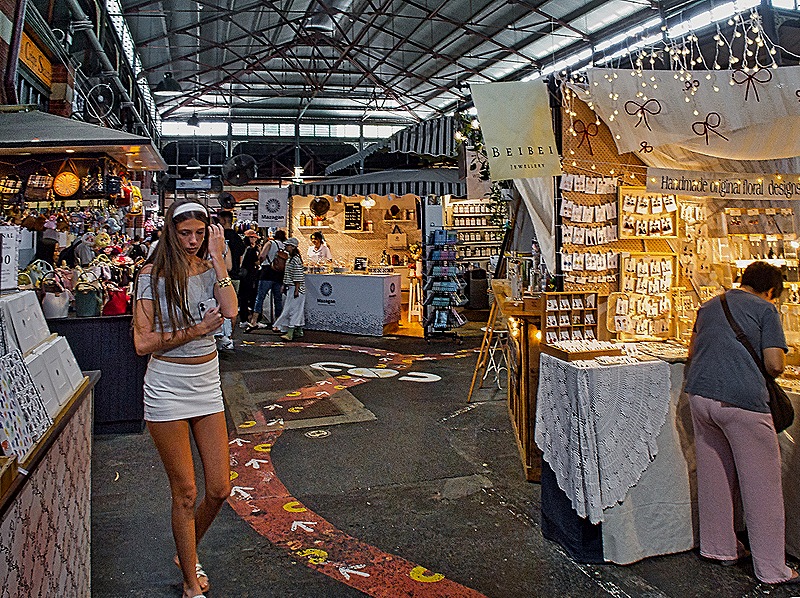
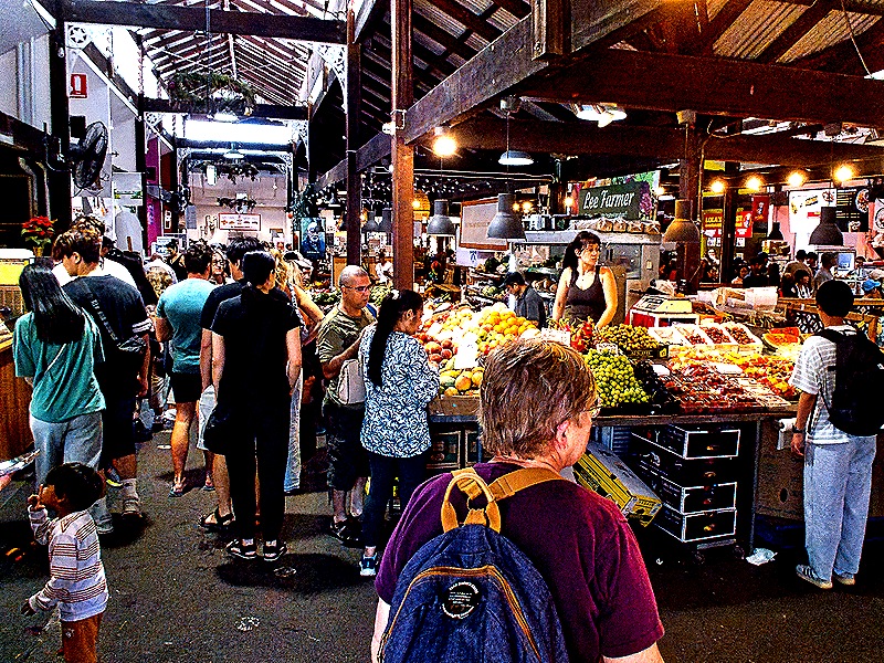
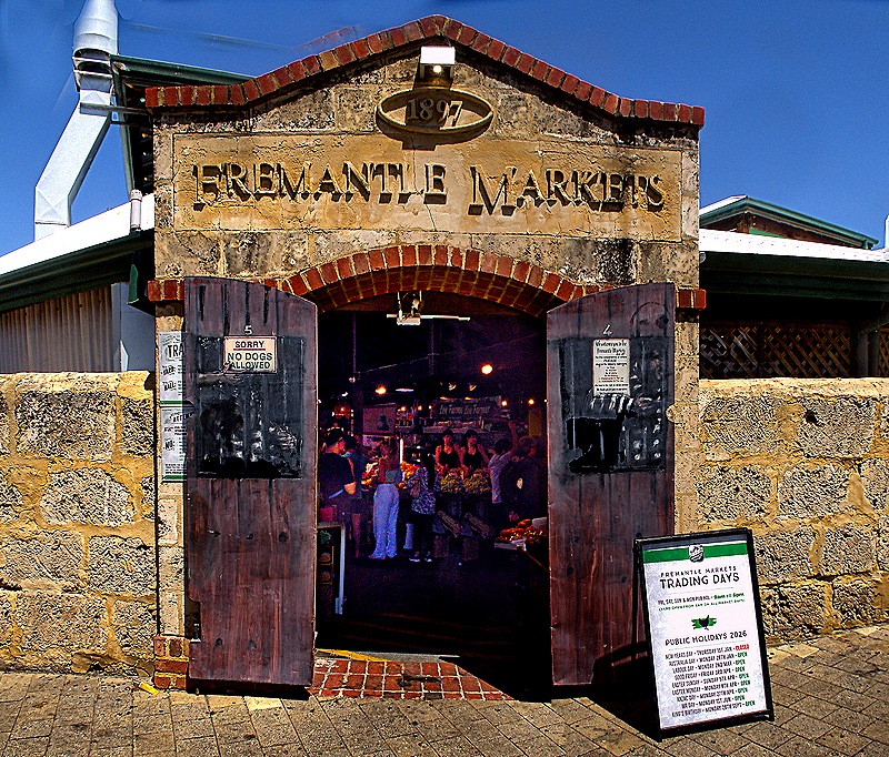
Originally opened in 1902 as a wholesale food market, this building complex served as a packaging and distribution center until the 1970’s. Restored and updated to accommodate retail spaces, the Fremantle Markets opened here in 1975. The space now has some 150 stores and vendors’ stalls selling food, crafts, tourist items, clothes and pretty much everything else you can imagine. On Saturday a lot of folks were there.
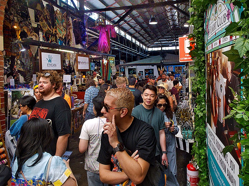
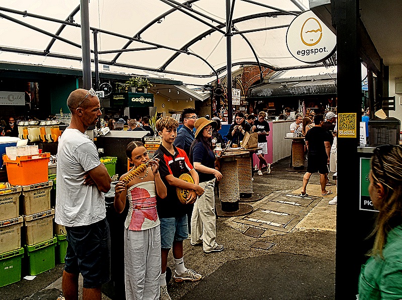
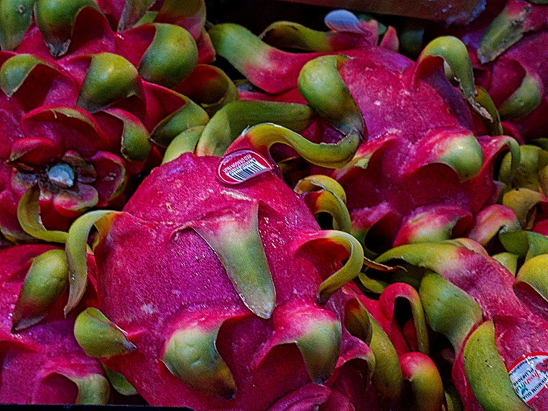
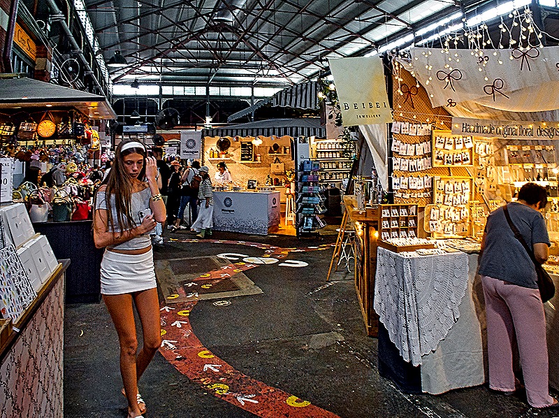
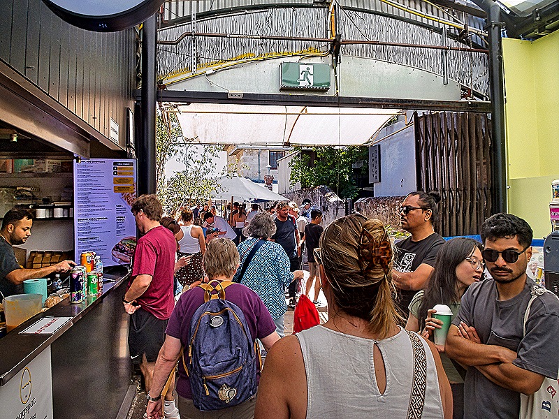
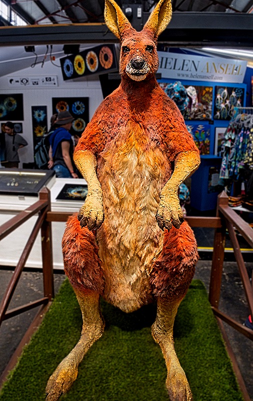
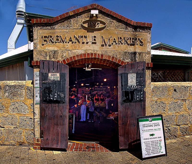
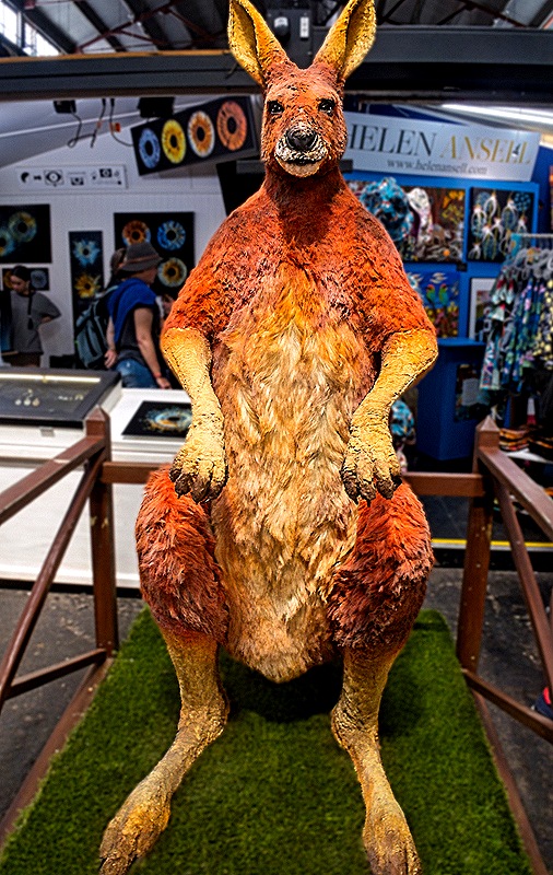
In contrast to the inside, the outside of the Markets was mostly red brick and Victorian style stone entrances, each one a slightly different design. And inside near the front entrance was Big Red, a 6 foot red Kangaroo. We had a very good time at the markets. The only disappointment was Mary’s inability to find a baseball cap that said Fremantle. All they seemed to have were Perth hats. We thought that indicated a certain lack of local pride, of which we had seen no other sign. But now we know that Fremantle is actually considered one of the 30 areas that make up Perth, so that must explain it.
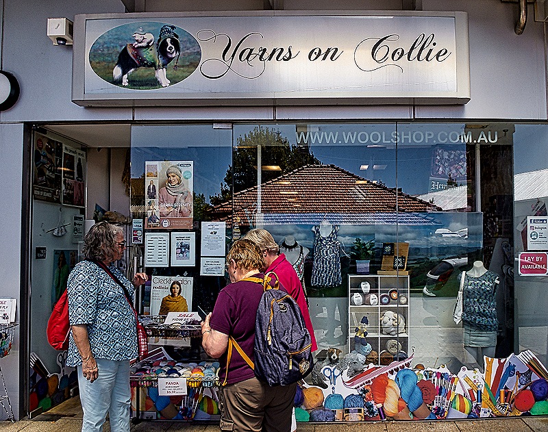
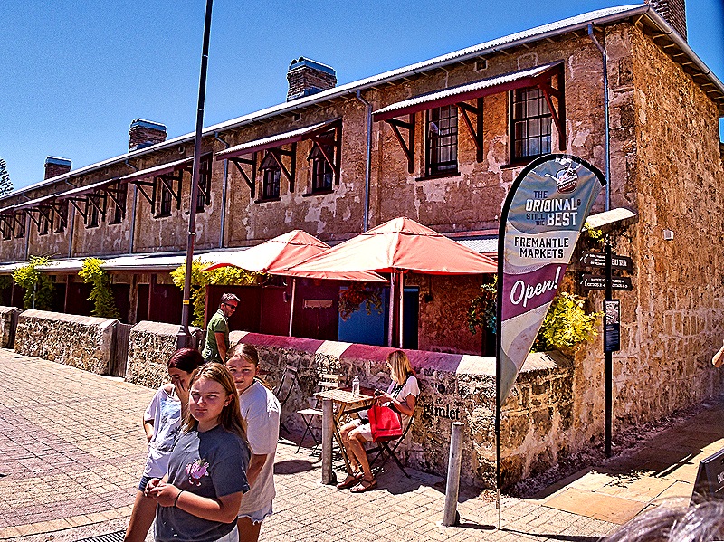
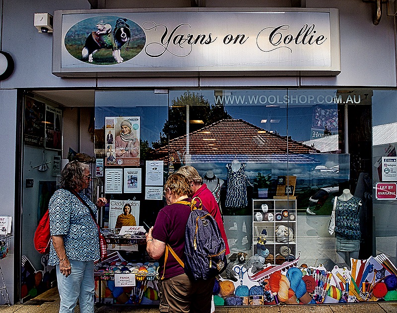
Most of our group (ie. all three other than Rick) wanted to visit a yarn shop so we set out to find one after we left the markets. We walked past the Warders Cottages, small rowhouses built in 1851 to house the Warders (we think this means guards) at the Fremantle Prison, which we toured on our first visit to Fremantle. The prison was built in the 1850’s as well after Britain decided to transport convicts to Western Australia (they had previously been in the eastern part of the country). These cottages were used for prison staff until 1991 when the prison closed. Today they are part of a hotel. After this we did find a nice yarn shop called Yarns on Collie (it’s on Collie street). The shop was nice and the lady running it was very helpful. Everybody but Rick found something to buy!
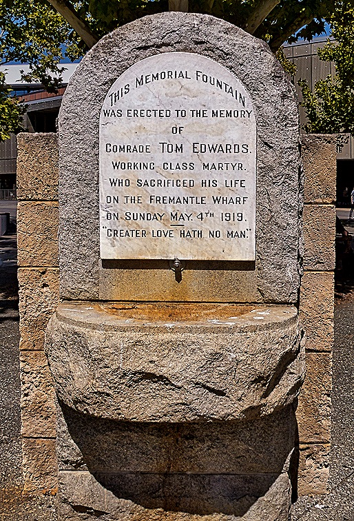
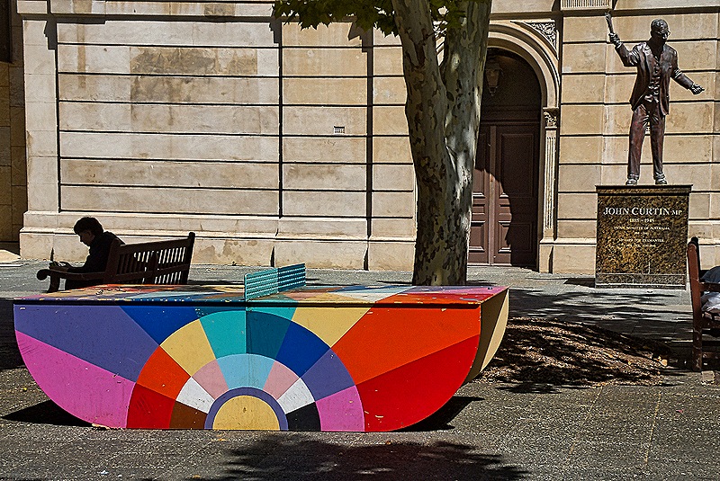
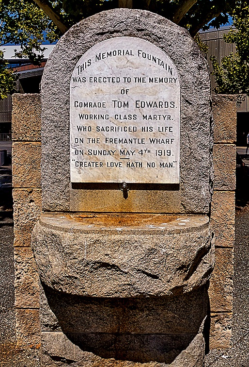
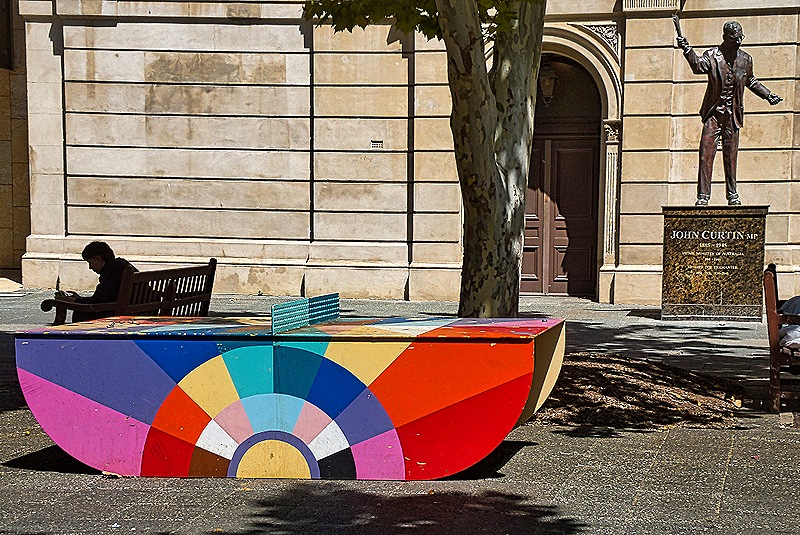
After the yarn shop it was time to eat, so we stopped into a restaurant nearby called The Rustic Spoon (not the rusty spoon!) for some fish & chips. The large dining room was mostly empty, so you had to wonder, but the food turned out to be really excellent and made to order from scratch. And what do you need after a good meal in Australia? That’s right . . . gelato. Swan River Gelato was conveniently located next door to the restaurant and their gelato also was made from scratch. So of course it was really good. Feeling quite satiated, we walked back to the town hall to meet the shuttle back to the ship. The area on the side of the town hall where we met the bus was sort of a small paved park. Among other things there, we saw a statue of John Curtin, who was Prime Minister of Australia throughout most of World War II. There was also a memorial fountain built in memory of “Comrade Tom Edwards, Working Class Martyr,” who was killed in 1919 on the Fremantle wharf during what we assume was a strike. And finally there was a very colorful ping pong table with rounded sides instead of legs that upstaged everything else. After a while the bus came and we drove through the streets of Fremantle one more time to reboard the ship, after two very enjoyable shore days.
Fremantle, Australia (Day 1–Perth) 2026
We arrived in Fremantle on February 20 for an overnight stay. Since we had two days we decided to spend the first on an excursion to Perth, a huge city only about 10 miles from Fremantle. Our bus left around 9:00 AM.
While Fremantle is where the area’s cruise port is located, Perth is the capital of Western Australia. It is considered the fourth largest city in Australia with a population of around 2.5 million, although that gets a little confusing because Fremantle is one of many other localities included in this “greater Perth” calculation even though it is also a city with its own government and history. Still, central Perth actually looks like a very big city, unlike Fremantle.
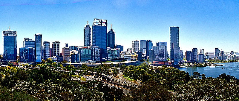
Aboriginal people have lived here for about 48,000 years and the first European settlers arrived in 1829. Perth was elevated to city status in 1856. Perth has often experienced strained relations with the indigenous Noongar people, who were banned as recently as the 1950’s from entering large portions of the city. Much of Perth’s growth stemmed from mining and drilling activities in Western Australia over the years. Since the end of World War II Perth has grown from less than 300,000 to its current 2.5 million.
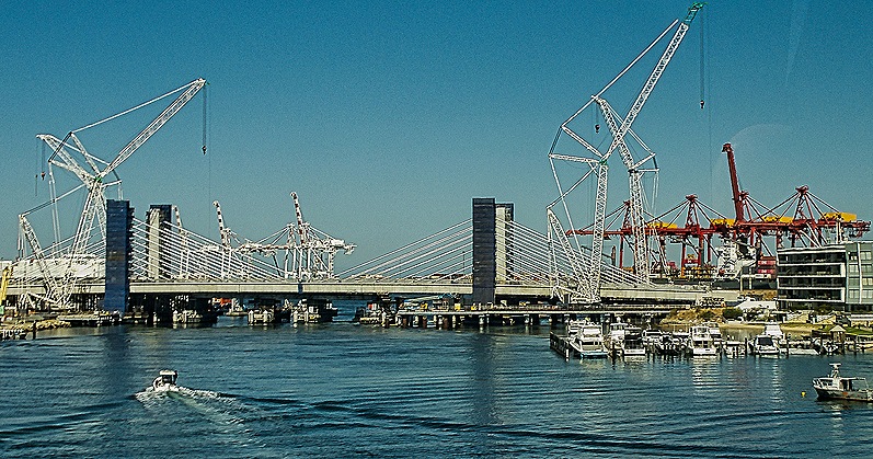
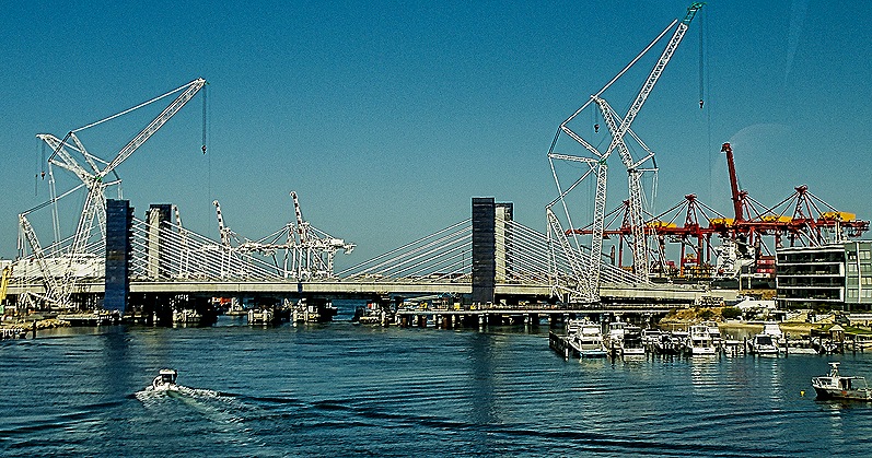
Our bus began with a drive through some streets in Fremantle, totally worthless to us because you couldn’t see much from the bus windows on Fremantle’s narrow streets and we had another whole day to explore Fremantle on foot. We crossed the Swan River, which connects central Perth with Fremantle, on the Stirling Bridge (we think). This is a detour from the usual crossing, the Fremantle Traffic Bridge, which was closed for renovation. We had a nice view of the renovation area from the bus as we crossed.
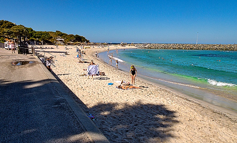
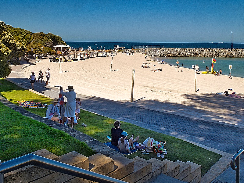
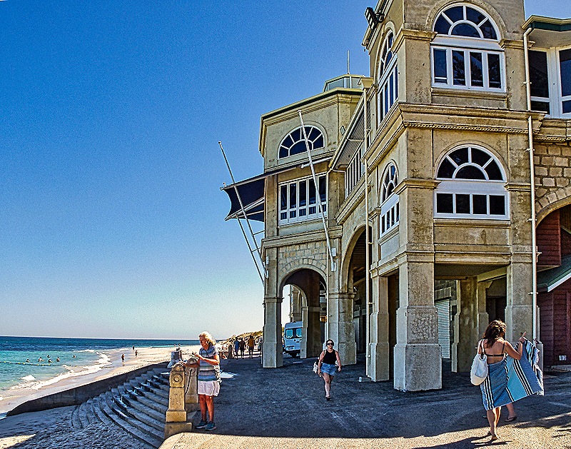
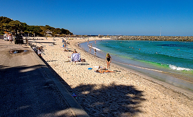
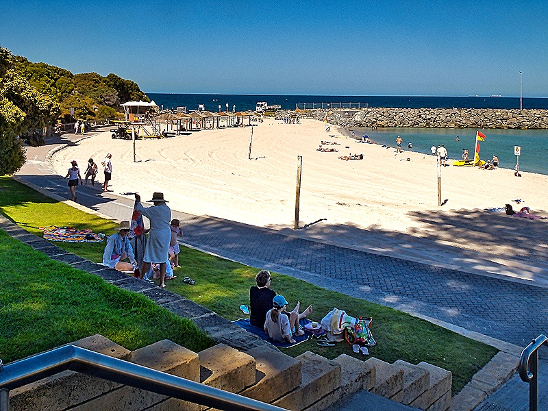
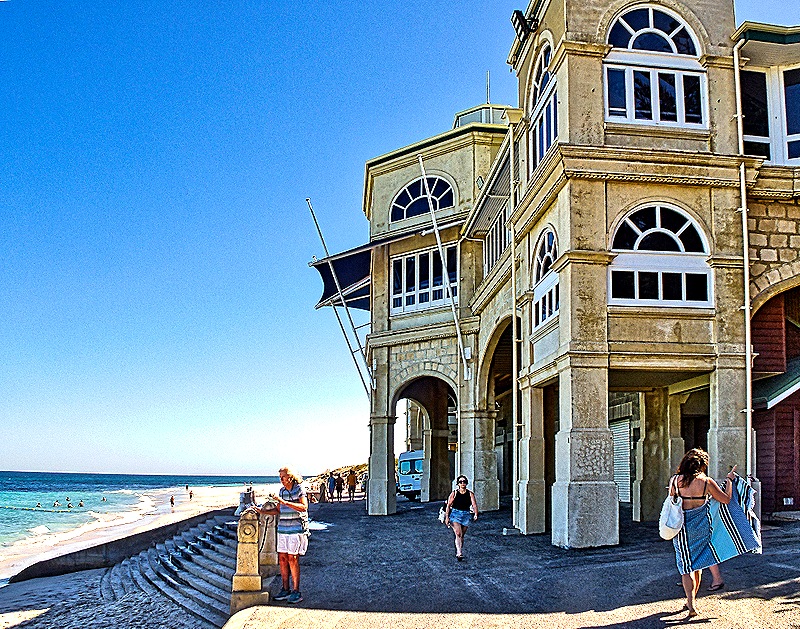
We stopped for about half an hour at Cottesloe Beach, almost a mile long and one of the most popular public swimming areas in Western Australia since the 1880’s. It is the home of the annual 12+ mile swim to Rottnest Island, an annual event since 1991 (although the first documented swim was in 1956). In recent years it has grown to more than 2,000 swimmers each year, making it one of the world’s largest ocean swimming events. This year’s race was supposed to be held the day after we visited but was cancelled because of weather, only the third cancellation in its 35 year history (although 2 of those three were in the last 3 years). A rather substantial building on the beach houses restrooms, changing rooms, and a tea garden in a central courtyard. It opened in 1996 but its earliest predecessor dated to 1910.
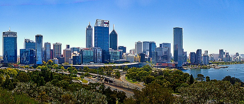
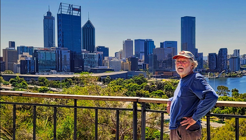
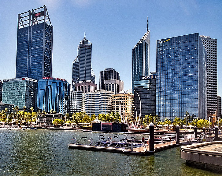
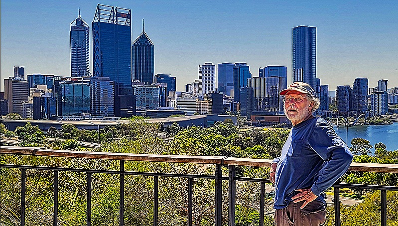
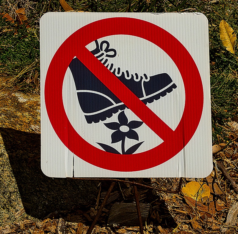
Our next stop was King’s Park where we spent about an hour. This is a huge (almost 1,000 acres) public park containing war memorials, a botanical garden and a large preserve of native bushland. It is the most popular attraction in Western Australia with some 5 million visitors per year. The park has a spectacular view over part of the Swan River and Perth’s central business district. There is a special law protecting it from developers, many of whom would love to get their hands on some of it.
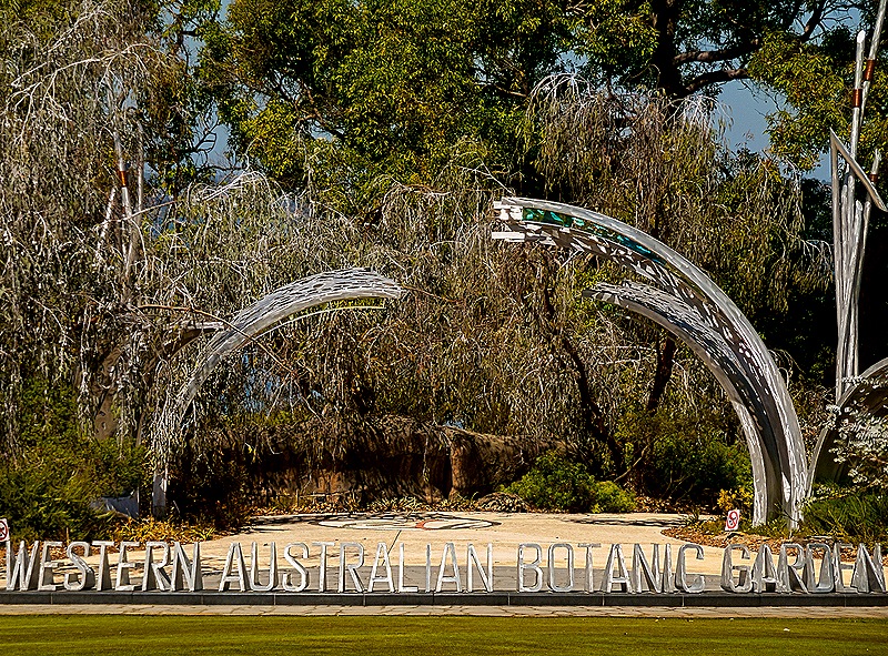
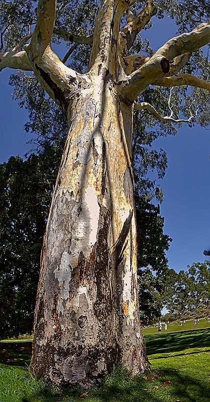
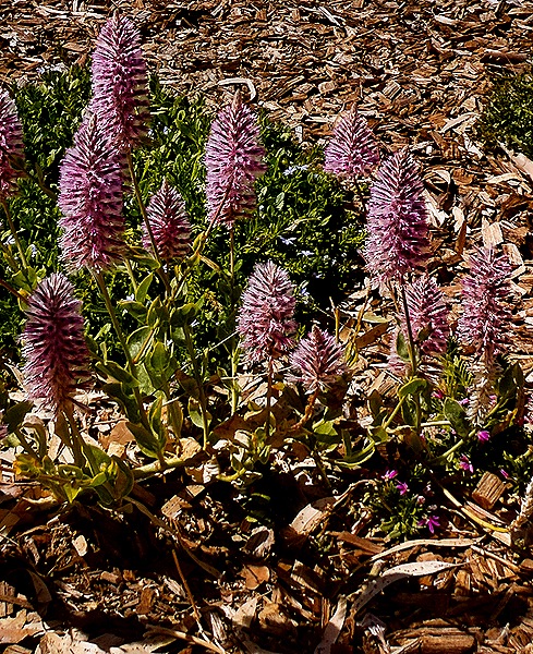
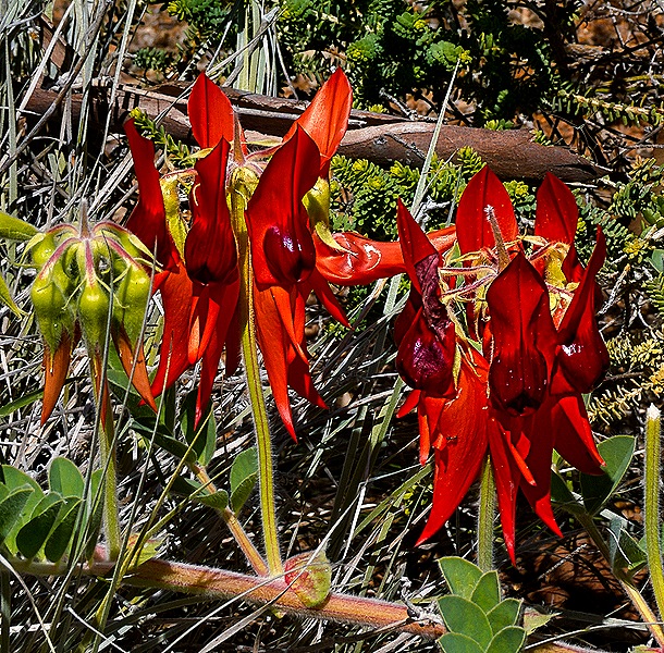
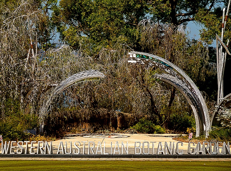
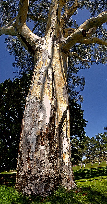
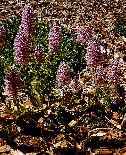
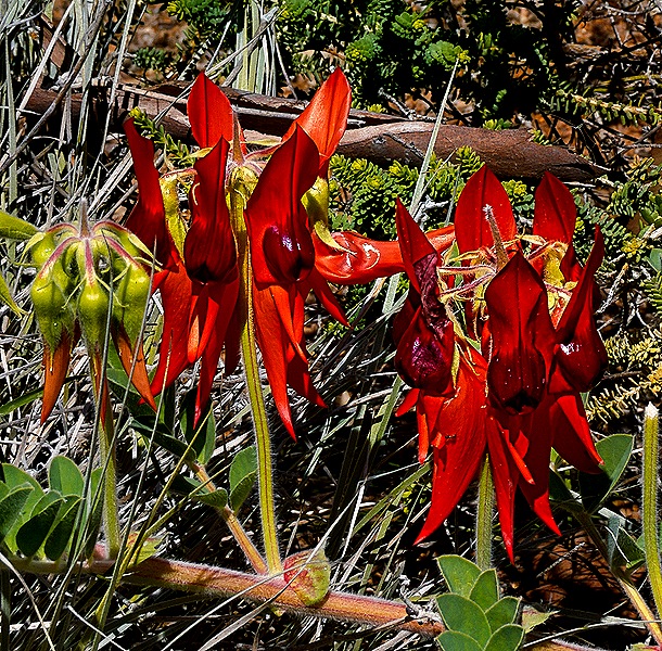
We did not have time to explore much of the botanic garden and were told that blooms would be somewhat sparse this time of year, but we did see some. Throughout the park were large and majestic trees, many Eucalyptus.
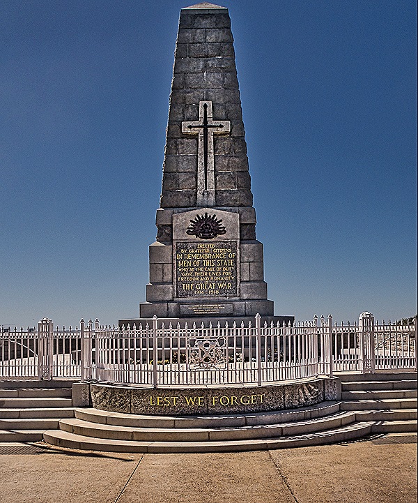
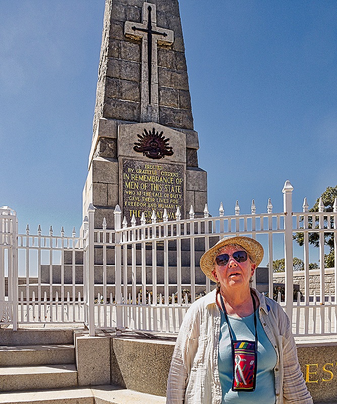
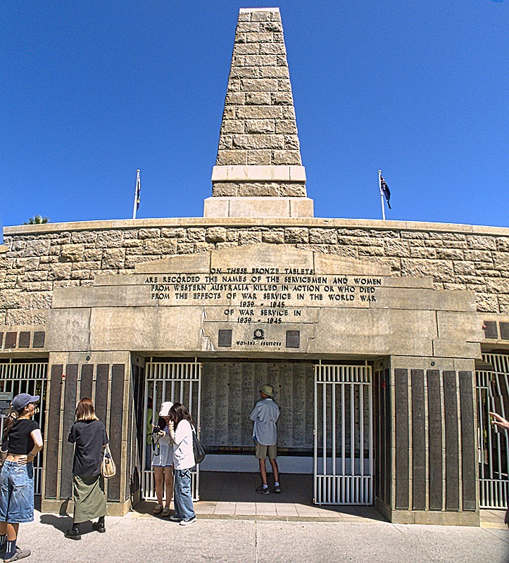
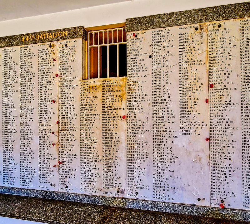
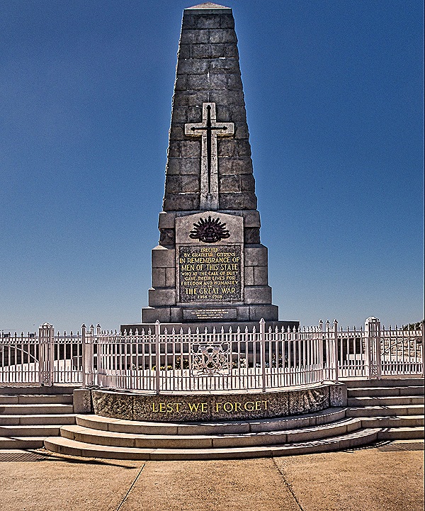
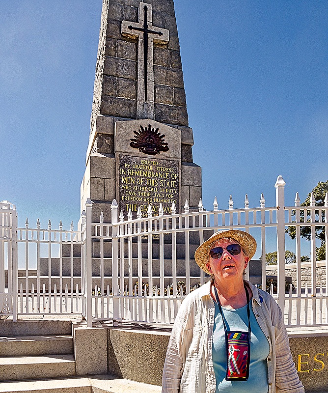
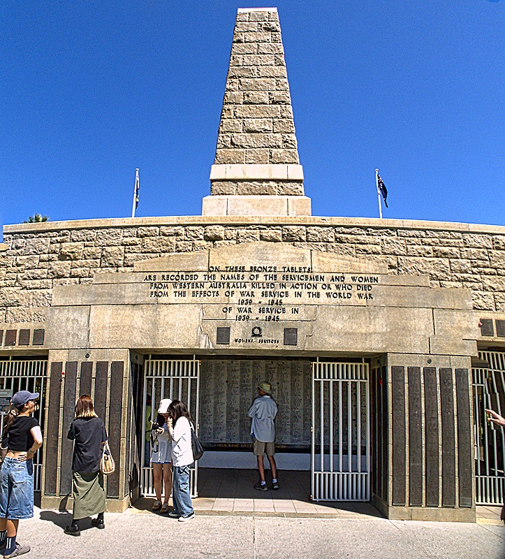
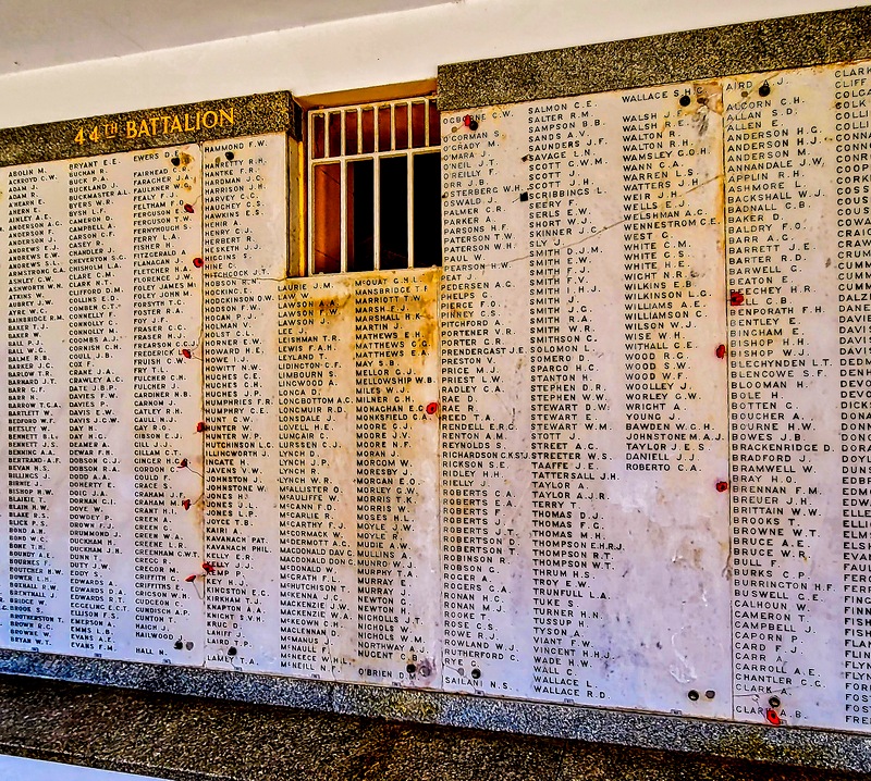
The State War Memorial sits on the edge of the park overlooking the water and the city of Perth. Unveiled in 1929, it consists of a “cenotaph,” an almost 60 foot tall obelisk, which is on top of a crypt below ground with the names of thousands of Australian service members killed during World War I, with many more added later who served in more recent wars. On ANZAC Day, April 25 every year, there is a memorial gathering here to commemorate Western Australians who died in war (April 25 is the date of the first Australian and New Zealand landings at Gallipoli during World War I).
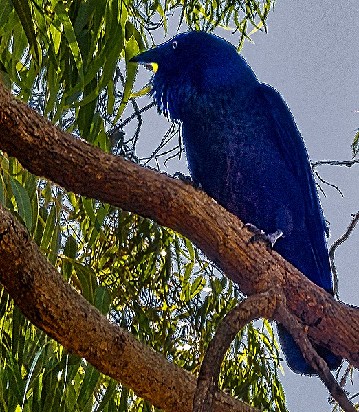
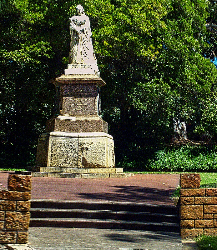
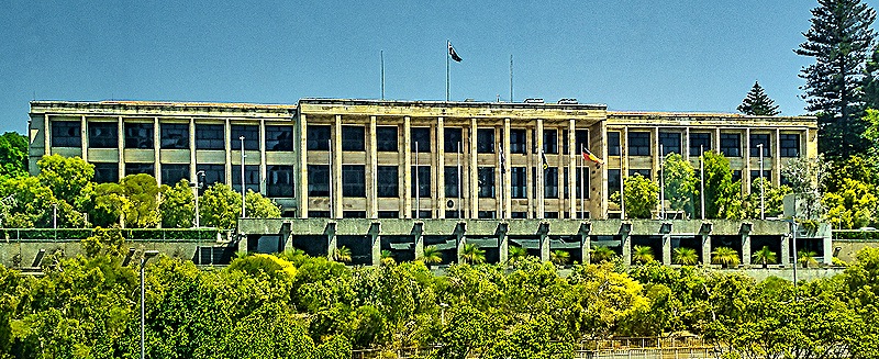
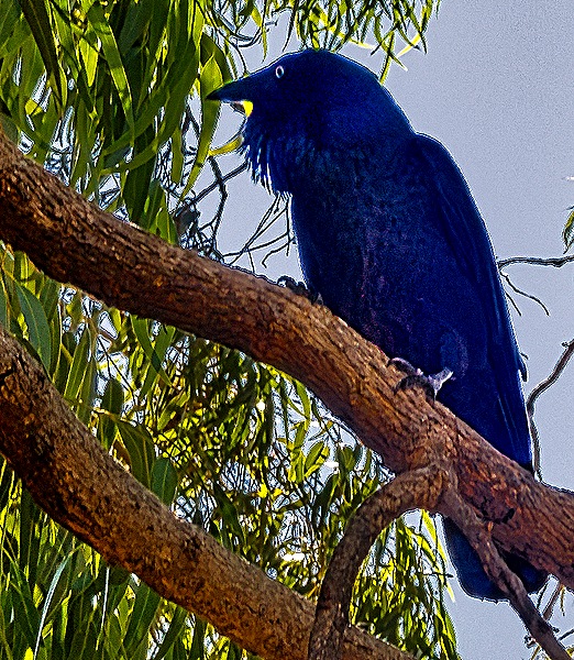
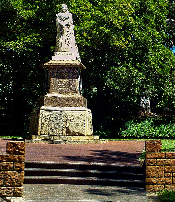
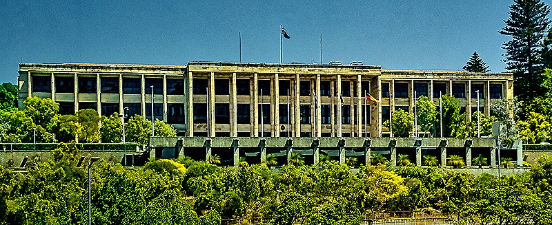
There was a combination information center and gift shop building that was really very good. The information people were very anxious to answer questions and impart information about the park and the botanic gardens and the gift shop was full of original artwork in addition to tourist mementoes. Outside was a large bluish black bird we haven’t identified sitting in a tree and making quite a racket . . . probably doesn’t like having all these people in his park. On our way out of the park we passed a very nice 16 foot marble statue of Queen Victoria that has been there since 1903. Then on the way into central Perth we passed the Western Australia parliament building on the side of a hill with a long view toward town. It opened in 1904.
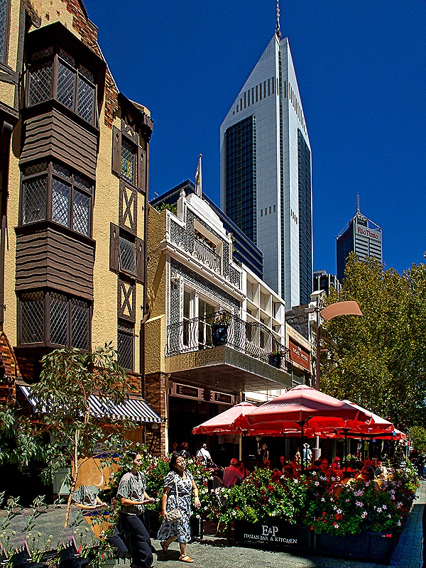
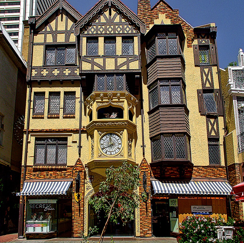
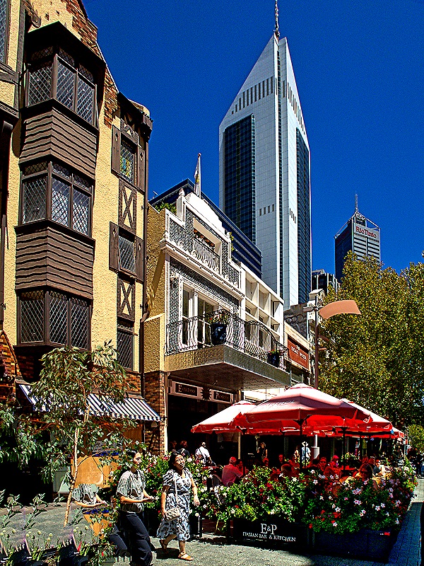
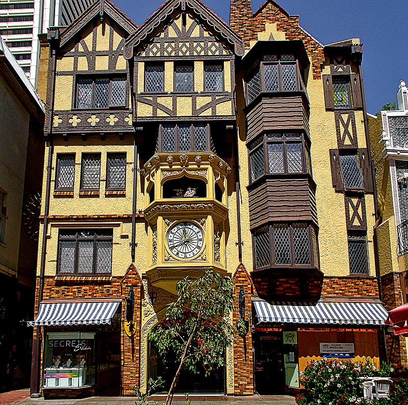
We left the bus near the State Buildings on St George’s Terrace in the historic area of central Perth for 2 hours of free time. Our guide offered to lead interested passengers on a walk to the art museum and we joined up. We walked through an enclosed mall inside the London Court building to the Hay Street mall (a pedestrian only street). London Court, with its distinctive Tudor style facade complete with mechanical knights that emerge when the large clock below chimes, was opened in 1937. The enclosed portion was like a long tunnel lined on both sides by small shops and restaurants. The Hay Street mall was lined with shops and restaurants with outdoor tables under umbrellas. Altogether very nice.
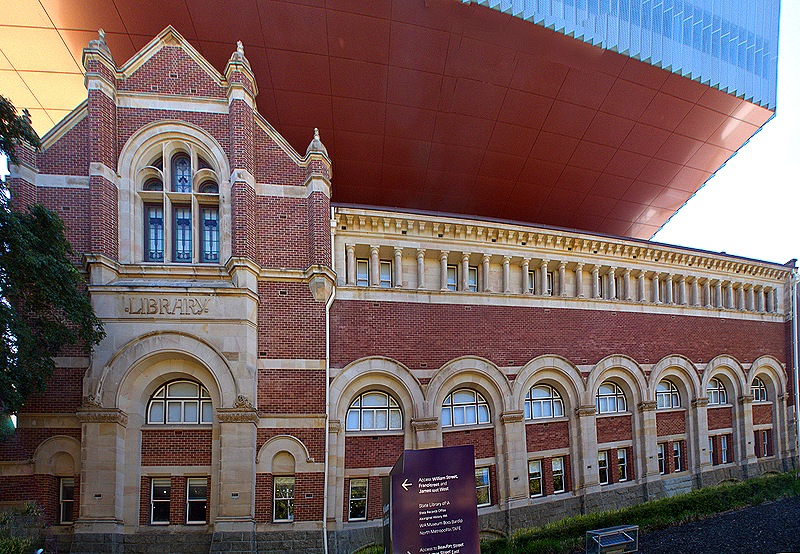
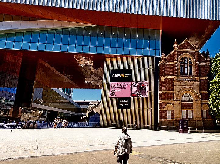
Leaving our guide when we reached the art museum we decided we didn’t have enough time to tour museums (with hefty admissions) so we walked over to the nearby State Library of Western Australia. We walked past the 1913 vintage Hackett Hall, which used to house the State Library but is now part of the Museum of Western Australia. In an unusual architectural design, the museum’s new modern building was erected next to, but also extending over the roof of, Hackett Hall, which is now home to a blue whale skeleton named Otto.
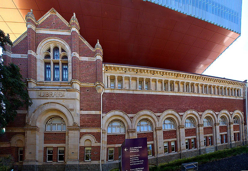
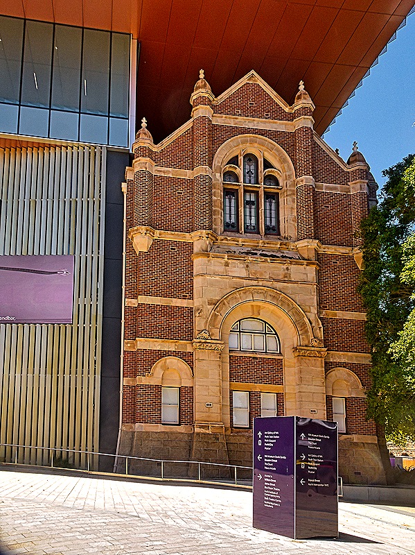
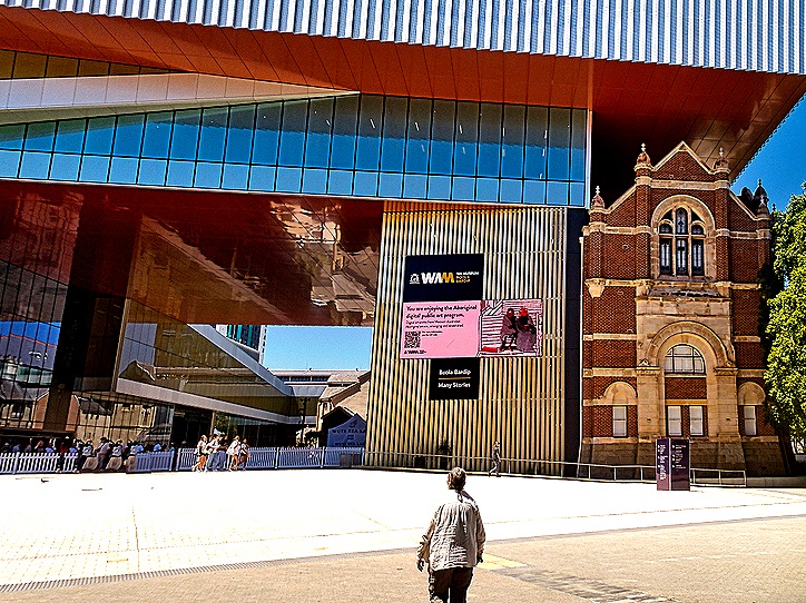
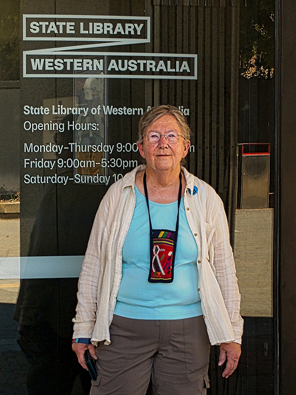
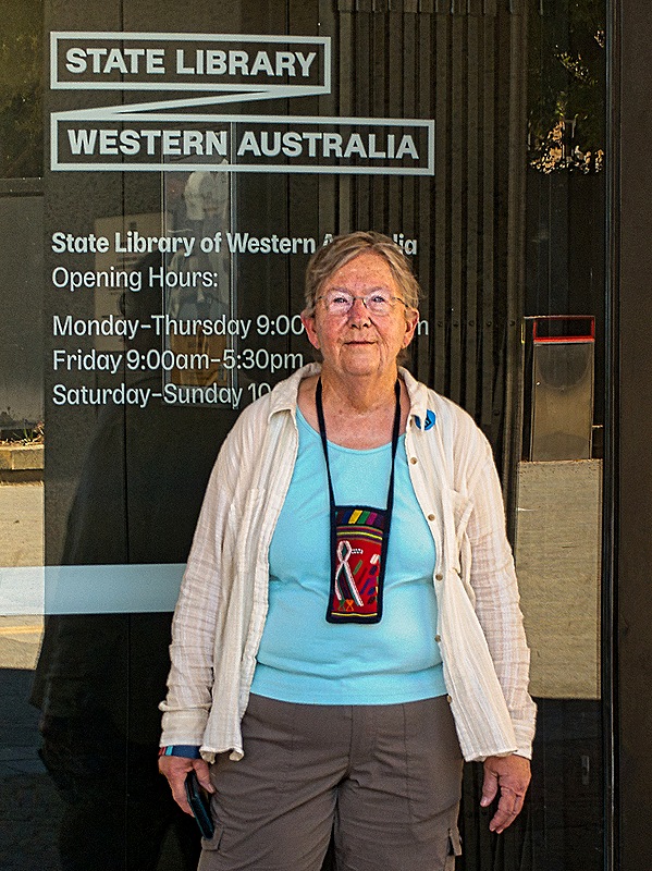
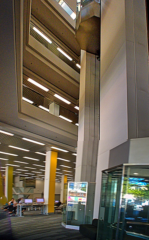
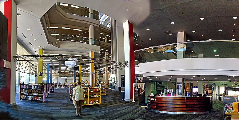
The Alexander Library Building houses the State Library of Western Australia along with the State Records Office and a collection of historical documents.
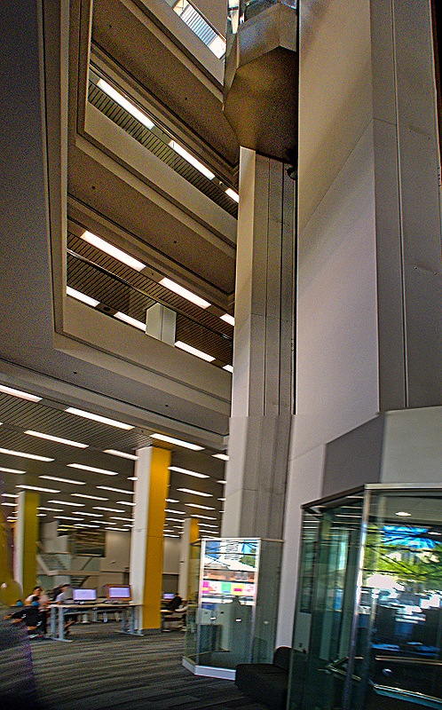
Although its roots date to 1879, the State Library has been in this building since it opened in 1985. In addition to functioning as a research and lending library with more than 300,000 books, the State Library operates a unified purchasing and exchange program and a centralized online catalogue for the other libraries throughout Western Australia. The Library’s space within this building is soaring and impressive.
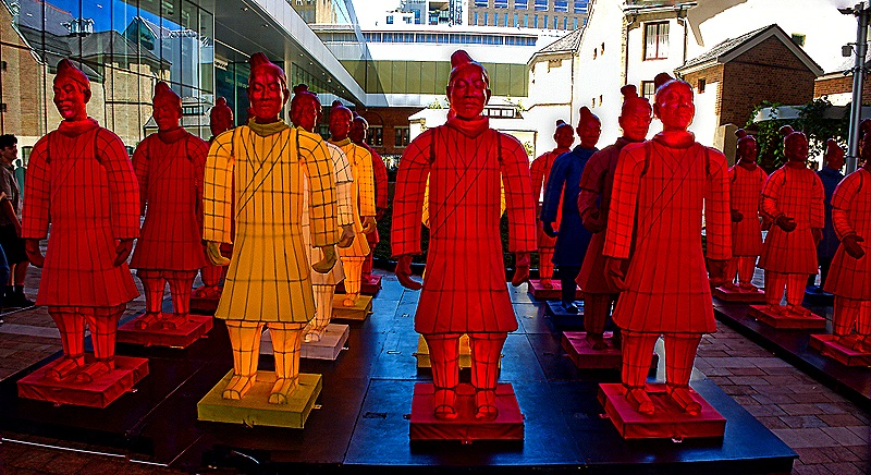
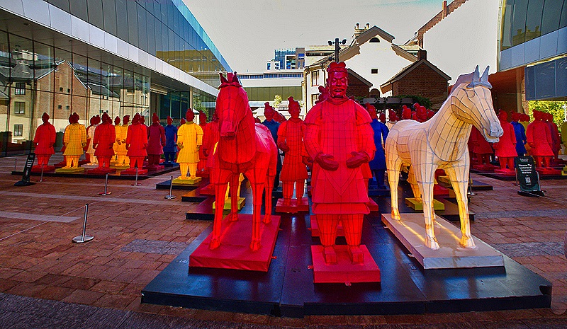
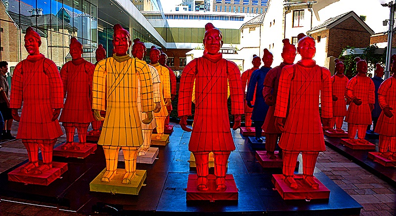
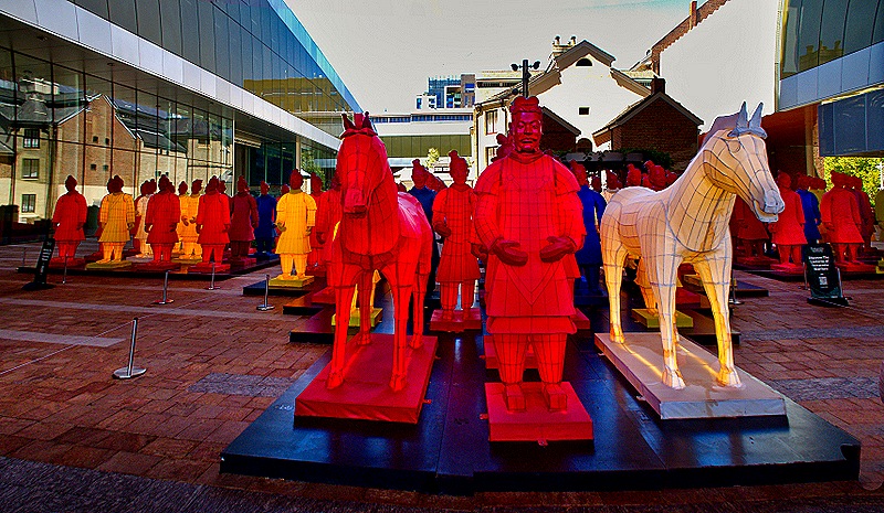
The museum was hosting an exhibit of the Terracotta Warriors from Xian, China. We didn’t see that (didn’t enter the museum), but outside in a large courtyard was an interesting installation called “The Lanterns of Terracotta Warriors.”
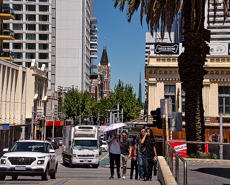
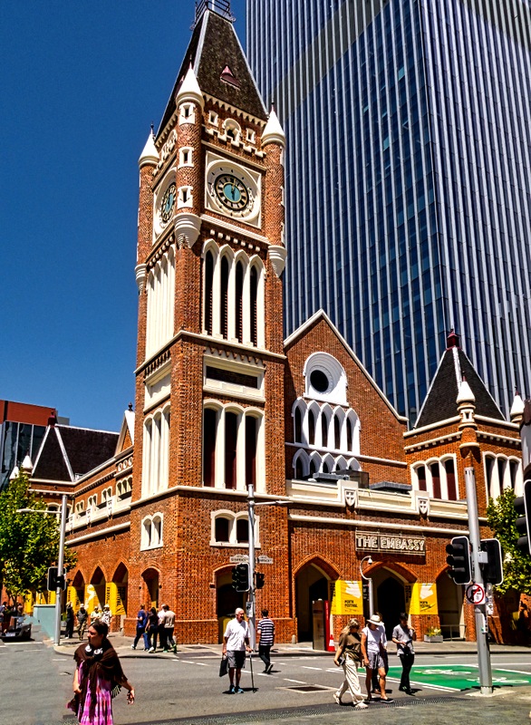
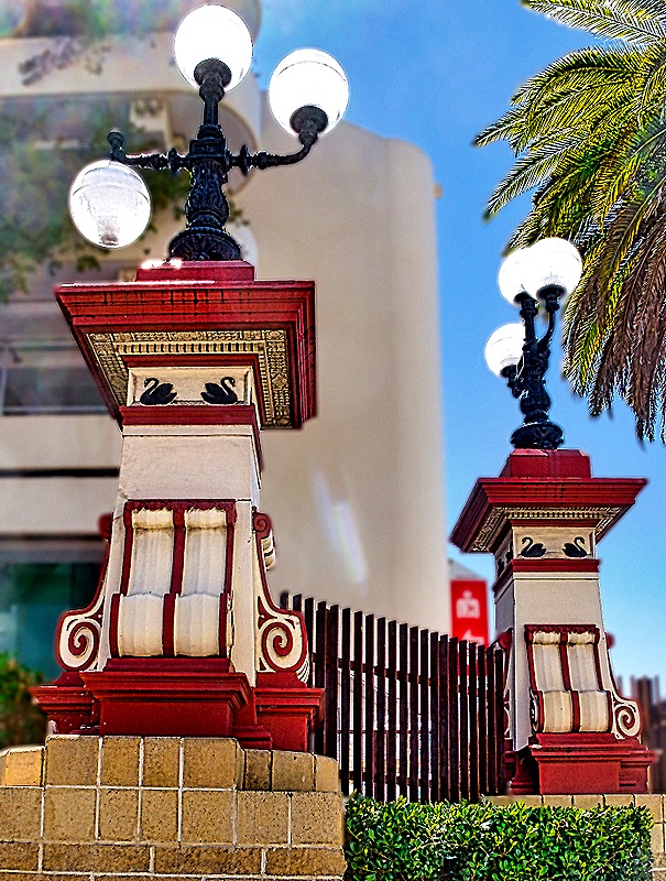
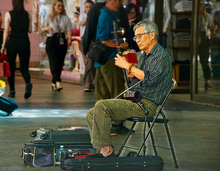
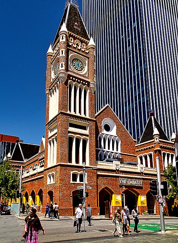
We decided it was time to head back in the direction of our meeting place on St George’s Terrace, with a couple of other places on the way we wanted to see. Australians not only drive on the left, they walk on the left too and we found it sometimes difficult to remember to do that. This walk had a nice mixture of new and old architecture, but the highlight was a walk through a pedestrian mall where we stopped at Swan River Gelato for some pistachio, tiramisu and panna cotta gelato. One fellow in the mall was playing an interesting string instrument. Perth’s Town Hall opened in 1870, the only town hall built using convict labor and the tallest building in Perth when it opened. During the 20th century the first floor accumulated many commercial entities but it was restored in the 1990’s. We walked into the front part of the building but didn’t have time to find out whether we could go further.The clock in the tower was imported from England in 1870 and is reached by a system of spiral staircases and ladders.
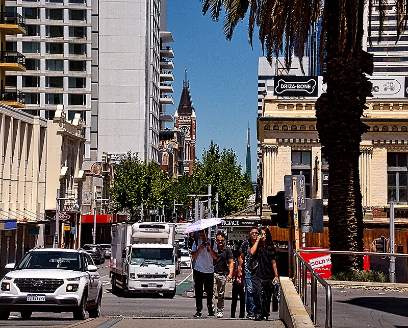
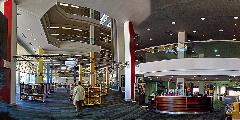
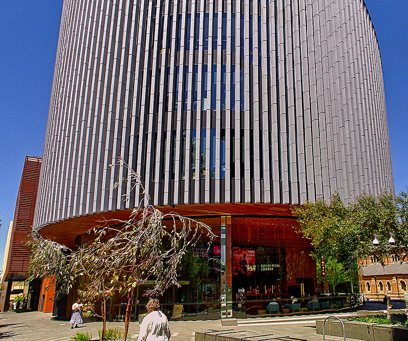
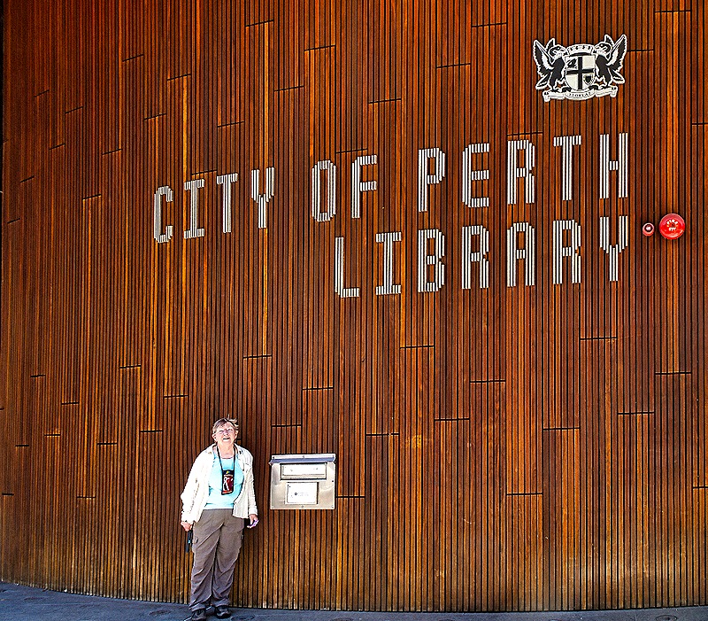
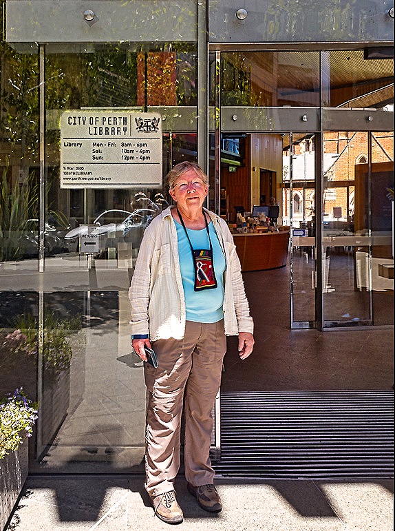
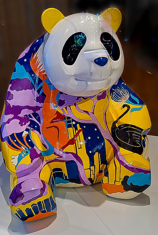
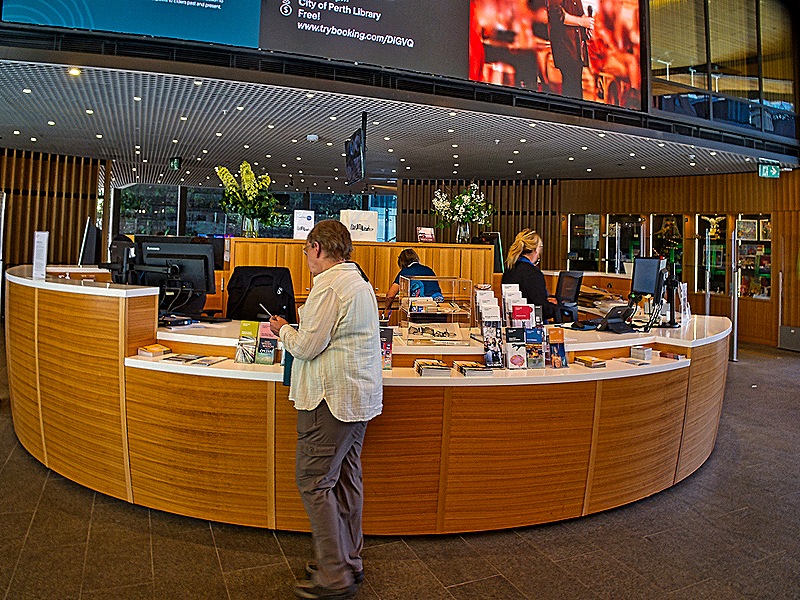
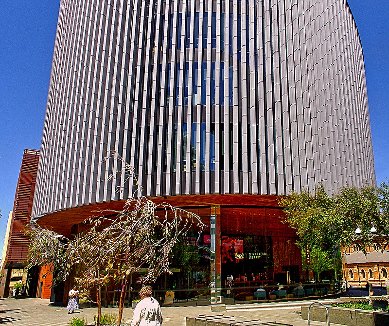
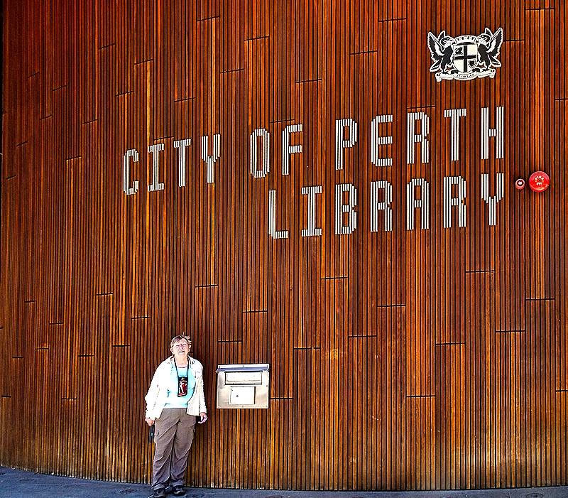
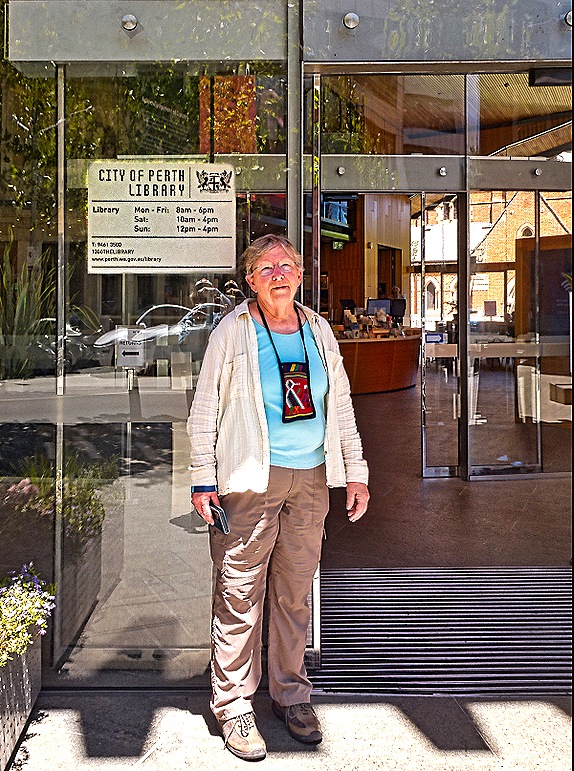
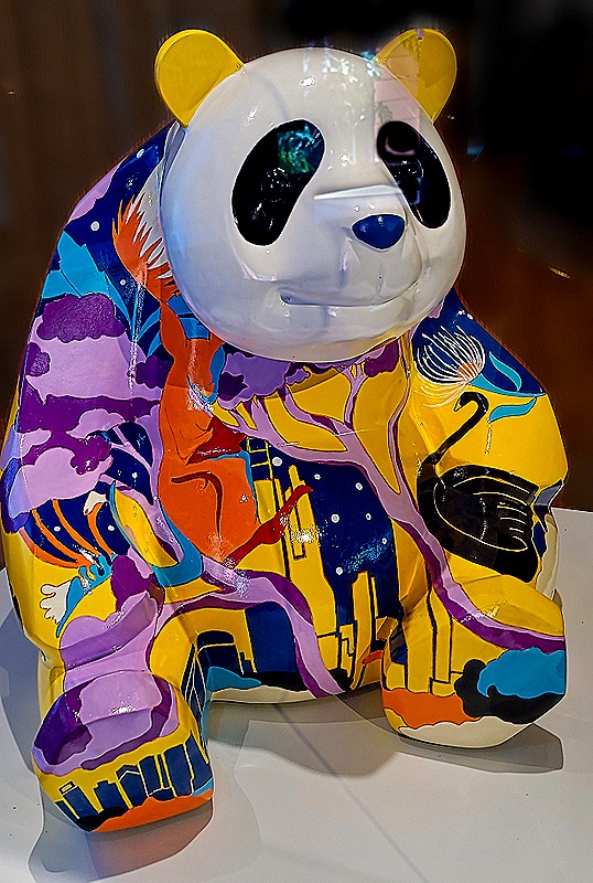
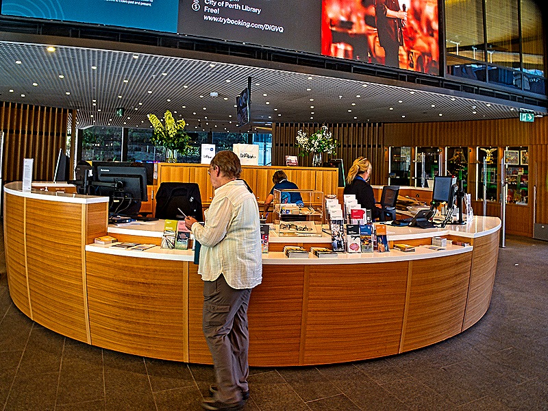
Next we stopped into the City of Perth Library near the Town Hall. The library can trace its roots to 1851 but its current building opened in 2016. It is a thoroughly modern circular building seven stories tall. We thought it was quite nice. This library operates separately from the State Library we visited earlier. A glass case in the library held a colorful panda presented to Perth in 2022 by Chengdu, China on the 10th anniversary of their becoming sister cities.
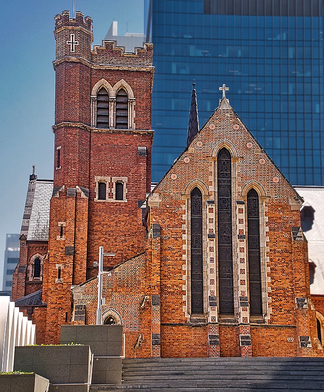
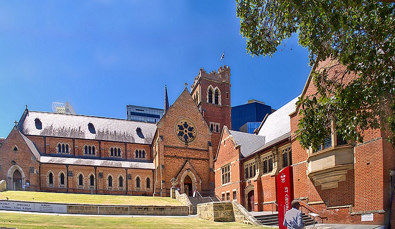
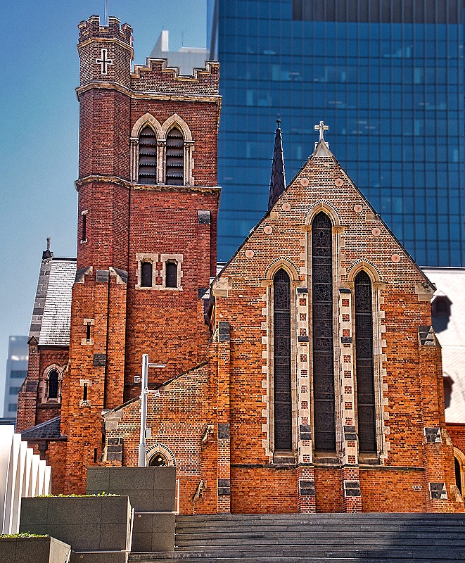
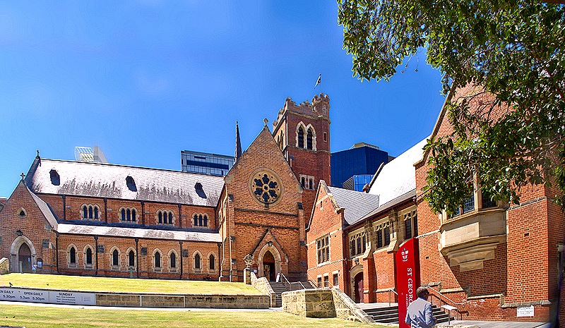
We walked down a block to meet the bus at the same place we had been dropped off. On a small hill behind us was St George’s Cathedral. Dedicated in 1888 this is the principal Anglican church in Perth.
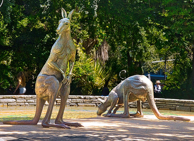
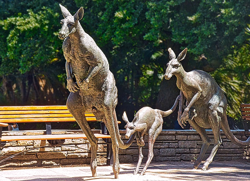
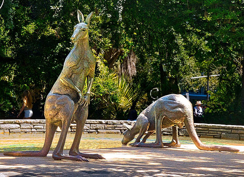
Looking across the street it appeared at first like a family of kangaroos had gotten loose in the city. But no, they didn’t move and it turned out they were made of bronze and somewhat larger than life size. These were three of the five sculptures that together are called “Kangaroos in the City” installed in 1998 on the edge of Stirling Gardens. The other two were a little further back, one kangaroo alert and the other drinking.
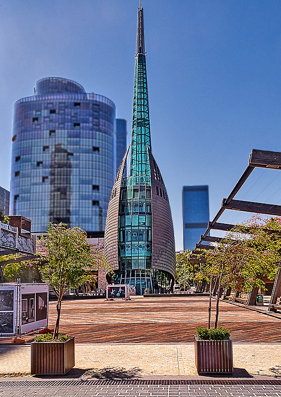
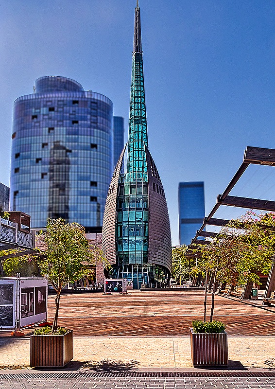
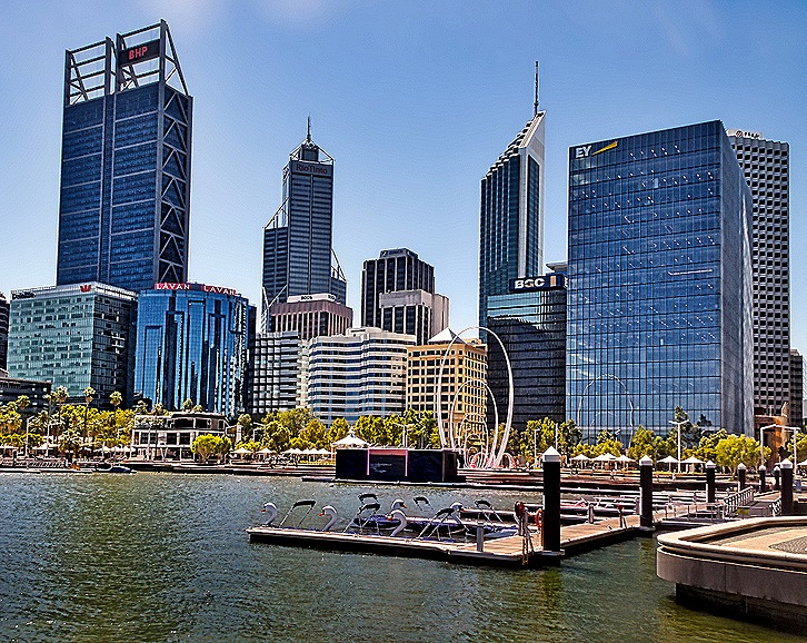
We were scheduled to return to Fremantle on a boat trip down the Swan River, so we were taken to the dock not far away. We walked together through Barracks Square and Elizabeth Quay to get there. There has been a boat jetty for river traffic here since 1845 but Barrack Square was not laid out until 1907. In 2000 the Swan Bells tower was built on the land side of the square to celebrate the millennium. It is a very tall, narrow and pointed structure made of glass, lighted from the inside at night. Twelve of the 18 bells inside are from the church of St Martin-in-the-Fields in London and date back to the 14th century (although recast a couple of times since then). After we boarded the river boat and left the dock we had a view of Elizabeth Quay, with several boat slips and the large sculpture Spanda in the center, which was installed in 2016. About 9 stories tall, Spanda is the largest freestandng carbon fiber structure in the world.
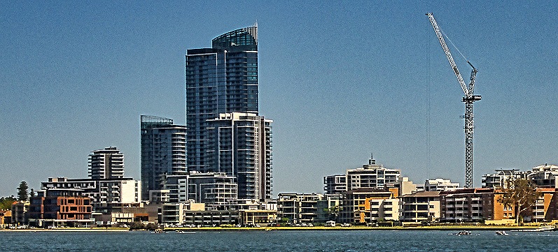
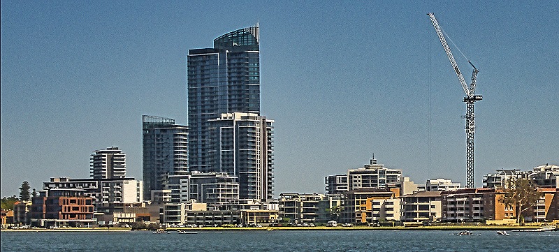
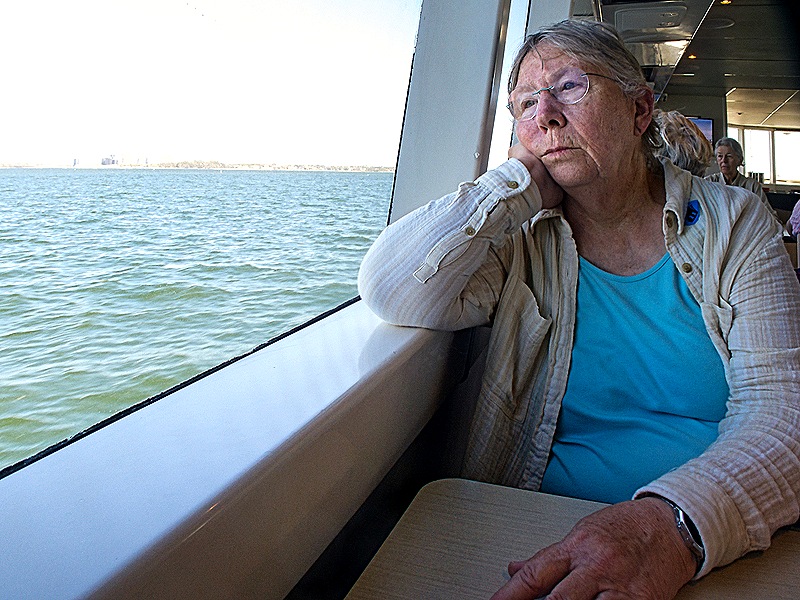
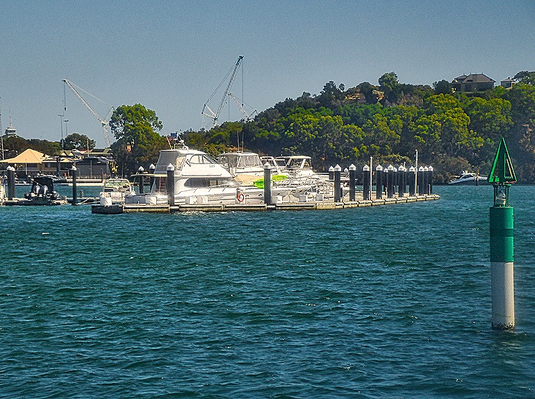
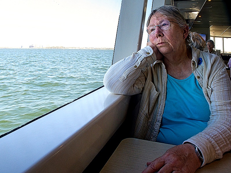
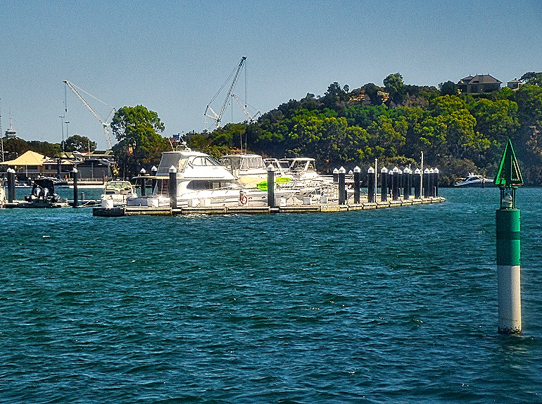
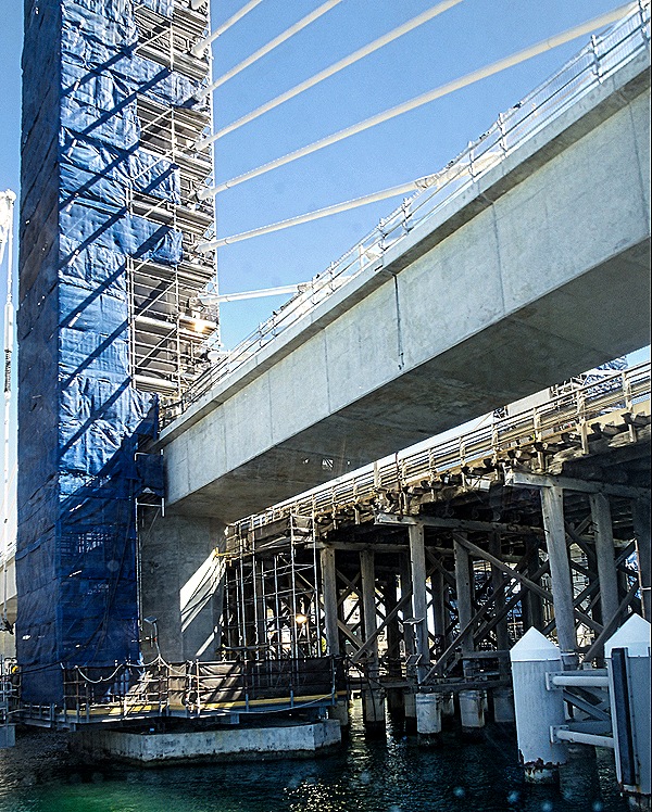
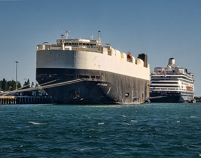
When we signed up for this excursion they made this sound like a scenic and enjoyable river cruise. But it really wasn’t. The boat was rather crowded, we all sat at tables, the scenery was neither very scenic nor varied and there was little in the way of interesting landmarks to see. A small boat dock before a turn in the river was about the most interesting sight. When we got close to Fremantle we did sail under the bridge we had seen under construction in the morning, which was interesting, and a large boxy ship that might have been a tanker was docked in front of the Zaandam.
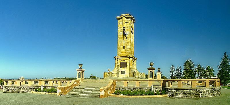
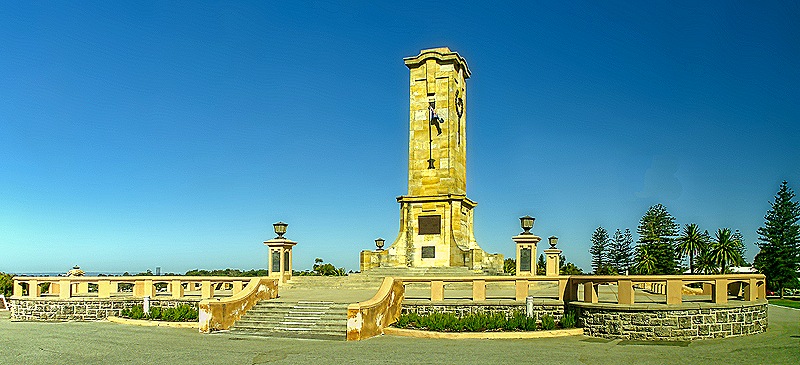
It had been a long day and we were looking forward to getting back to the ship as we boarded the bus on the dock. But no . . . first we had another unnecessary drive through the streets of Fremantle and then they took us up a hill to see the Fremantle War Memorial. Completed in 1928, it honors the almost 60,000 Australians who died in World War I. The central tower is about 60 feet high.
After this we finally made it back to the ship, ending a long but interesting day. If we were to do it again we would take the train, which runs from a station walking distance from the ship to the center of Perth. That would be much faster and much less expensive. Tomorrow was another day in Fremantle, this time on foot.