Apia, Samoa 2026
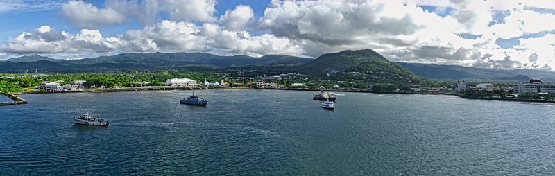
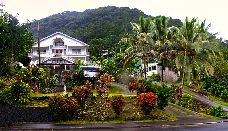
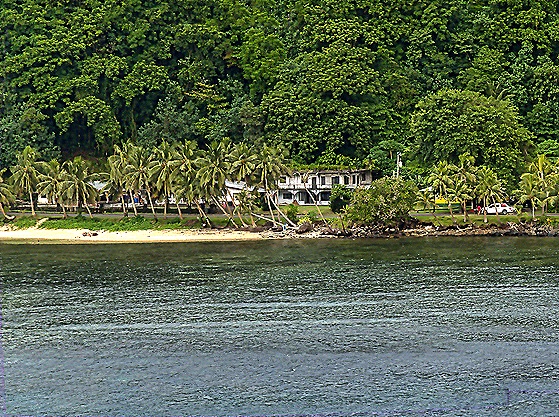
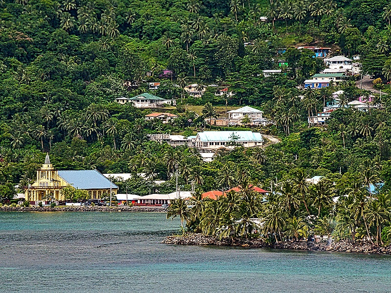
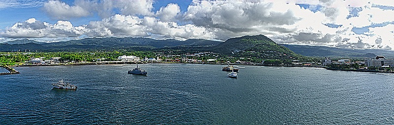
Having left Pago Pago on January 21 we arrived in Apia on the morning of January 23. Two days is a long time to sail the 80 miles to Apia, but the real reason for this calendar discrepancy is that we crossed the international date line between these ports and moved ahead a day. So we didn’t have a January 20 at all. We found ourselves docked in another large harbor.
The Samoan archipelago was divided into German Samoa on the west and American Samoa on the east in 1899. Western Samoa remained under German hegemony until 1914 when New Zealand troops landed at the beginning of World War I and took control without resistance. About 20% of the population died in the Influenza epidemic of 1919, which the Samoans blamed on New Zealand (it has since been established that influenza was brought here on a New Zealand ship). Although political tension continued, Western Samoa remained under New Zealand control until it gained independence in 1962. In 1997 it adopted the name “Samoa,” over the objection of the American Samoans. In 2011 Samoa changed its time zone to ease trade with New Zealand, which moved the international date line to fall between the two Samoas.
The independent state of Samoa consists of two large islands and a number of smaller islands, most uninhabited. Apia is the capital of the country and by far its largest city with a population exceeding 35,000. The city itself has no central government, but is made up of some 45 communal villages. Like American Samoa, the island of Upolu on which Apia sits is very lush and green. All of our ports up to now had been US territory, so this was the first one for which we needed a passport. This was our first visit to Apia and we booked an excursion to show us the highlights.
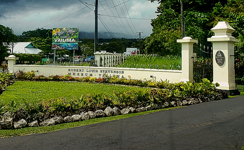
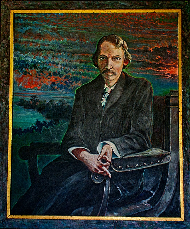
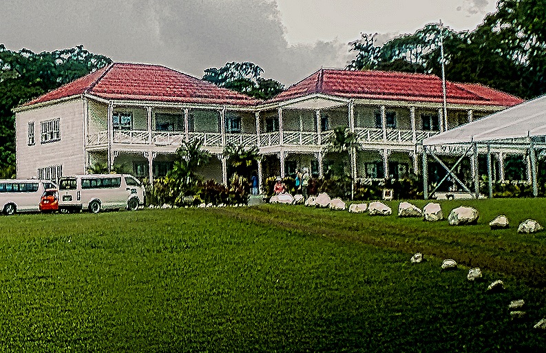
Robert Louis Stevenson lived here for the last few years of his life and was buried atop Mount Vaea in Apia in 1894. He built a large house of redwood imported from California at the foot of that mountain that was completed in 1891, named Vailima after the local village. Today it is a museum.
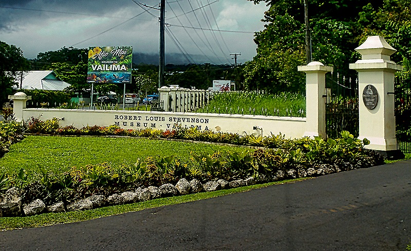
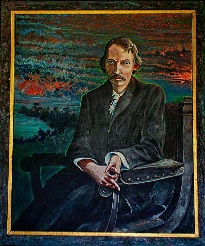
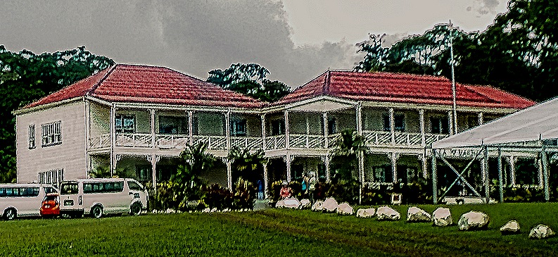
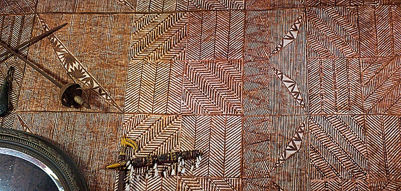
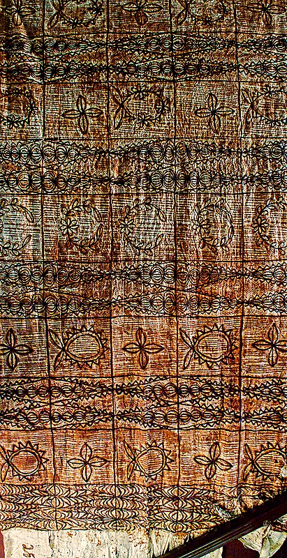
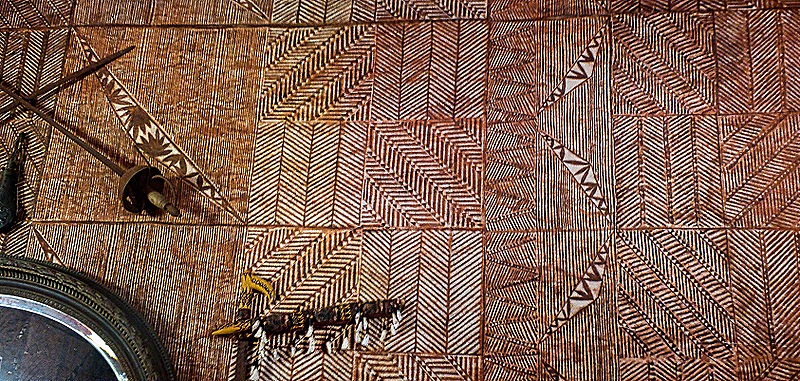
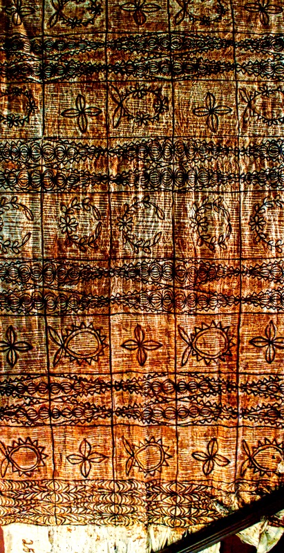
Rather than having a guide lead visitors through the house they had a sort of docent stationed in each of the featured rooms to explain it and answer questions as each group entered. Stevenson’s widow sold the house and most of its contents a few years after he died and moved to California. The house became the residence of the German governor of Samoa, then the New Zealand administrator of the territory and after independence of the head of state. It opened as a museum in 1994. It is furnished with period (or at least period style) furniture and decorations in an effort to make it look as much as possible as it did when the Stevensons lived here, but because Mrs. Stevenson sold almost everything very little here is original to the house. Among the interesting items inside was some elaborately printed siapo cloth adhering to the wall like wallpaper. Siapo could also be seen hung like tapestry. The verandas lining the outside of the upper story were airy and pleasant, in a rather Victorian style.
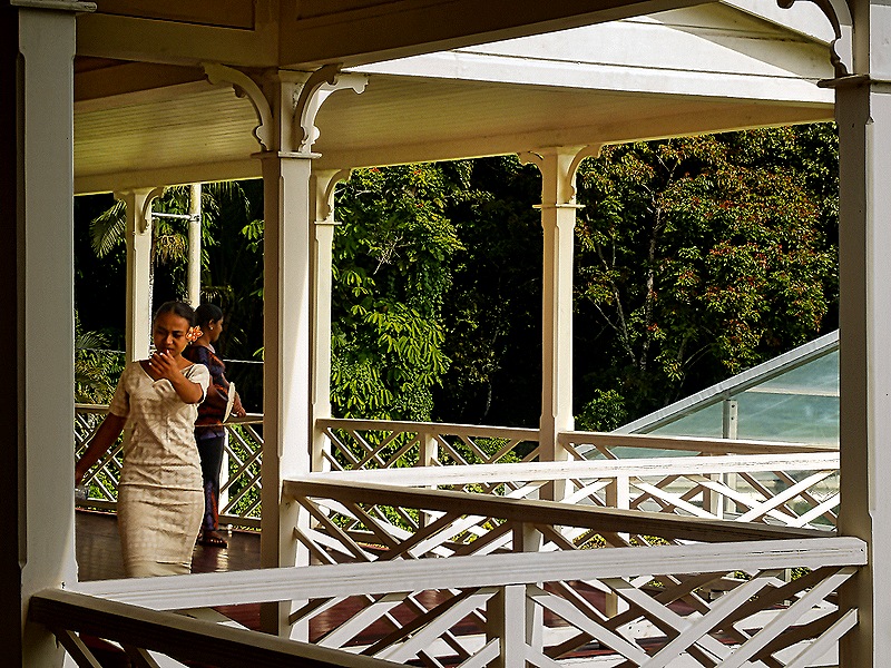
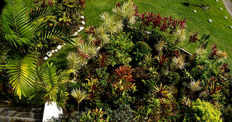
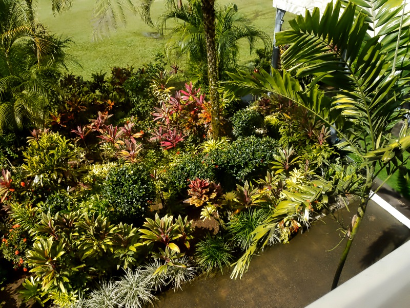
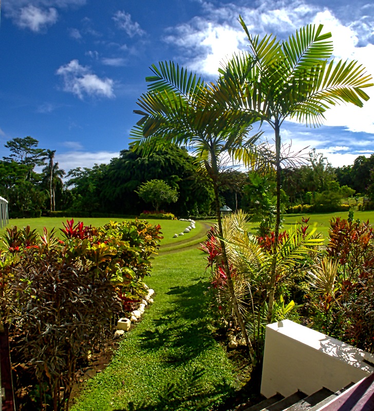
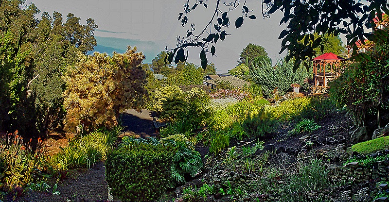
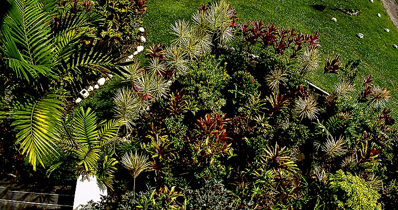
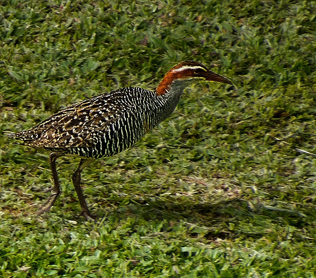
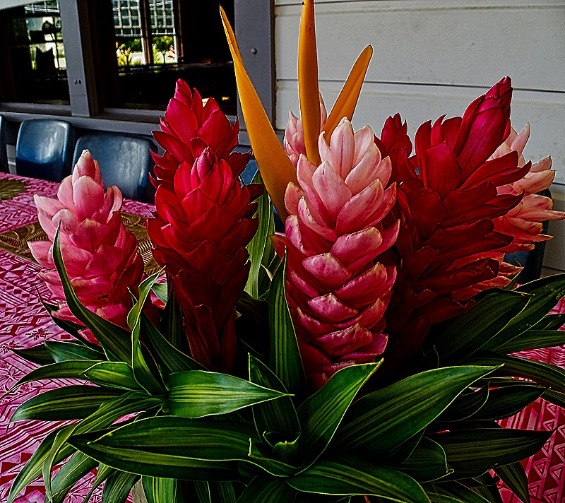
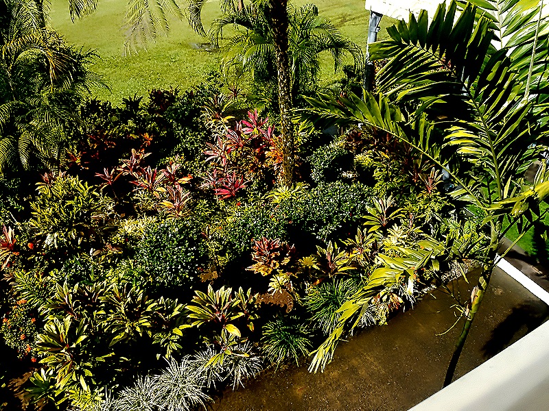
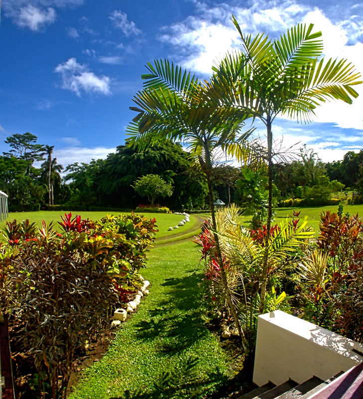
The grounds of the house were particularly beautiful, with many colorful flowers and well landscaped. And we spotted an interesting bird wandering the grounds, of a type we had never seen.
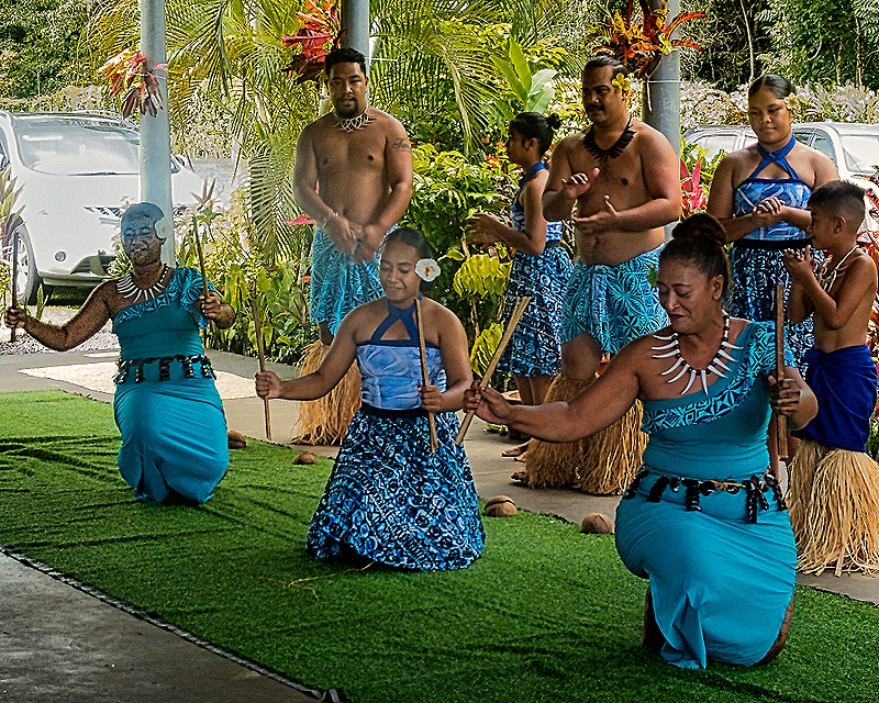
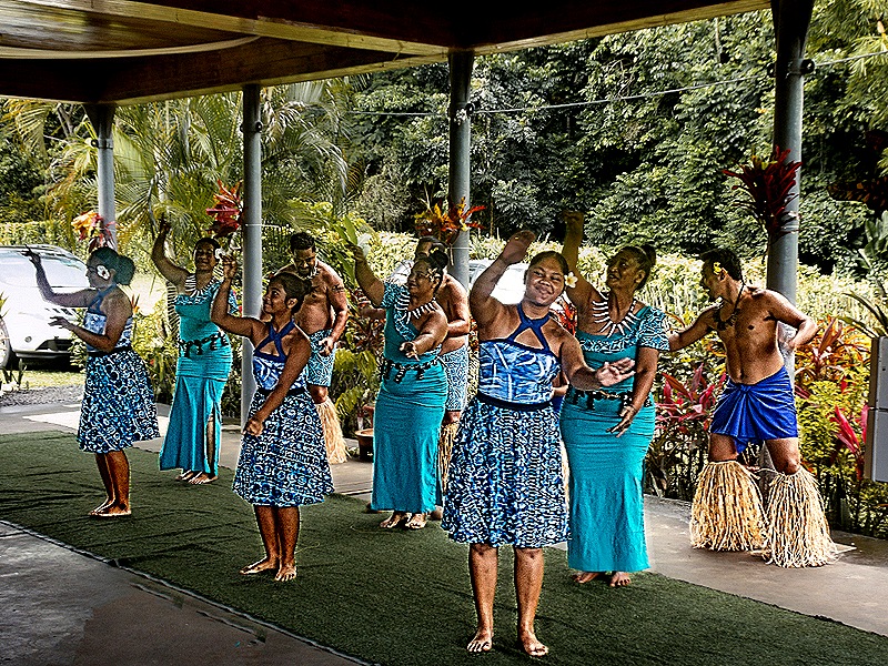
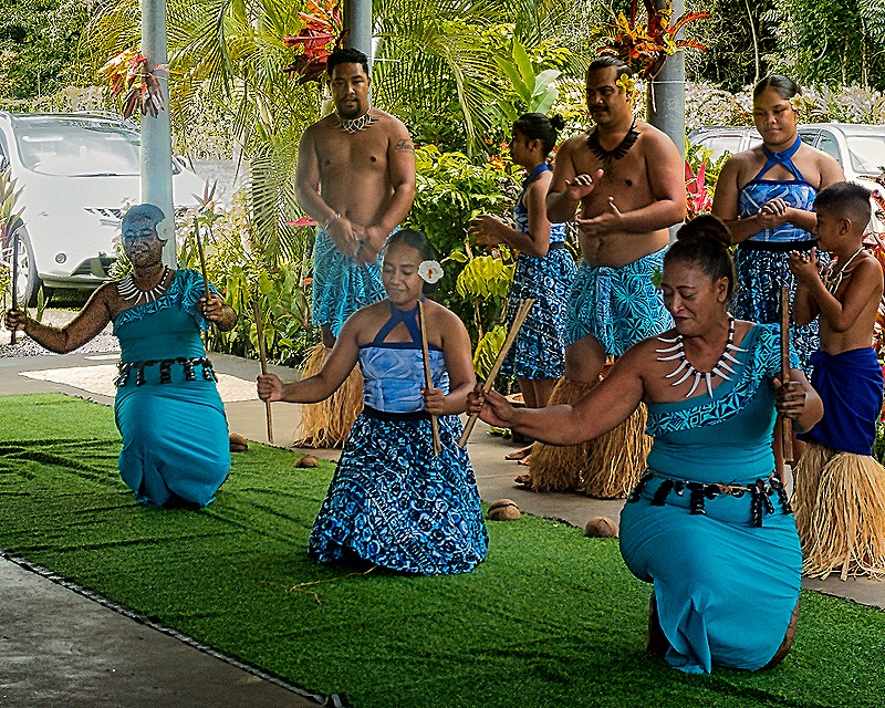
After we toured the house there was a dance performance on a large porch in the back of the house. It began with a demonstration of what the Samoans call an ‘Ave Ceremony (called a kava ceremony on other Pacific islands). This ceremony generally involves formal speaking and shared drinking of a liquid made from a root of some kind. One of the dancers sat on the ground with a bowl filled with the ceremonial drink, which was given to members of the audience who volunteered. It was scooped from the bowl into a piece of coconut shell and taken to the volunteer, then returned and swished in a bucket of water, filled again and distributed to the next volunteer, perhaps half a dozen times in all. We are sure it was safe enough and no one seemed to get sick, but since the pandemic we are more leery about shared food and utensils than we once were.
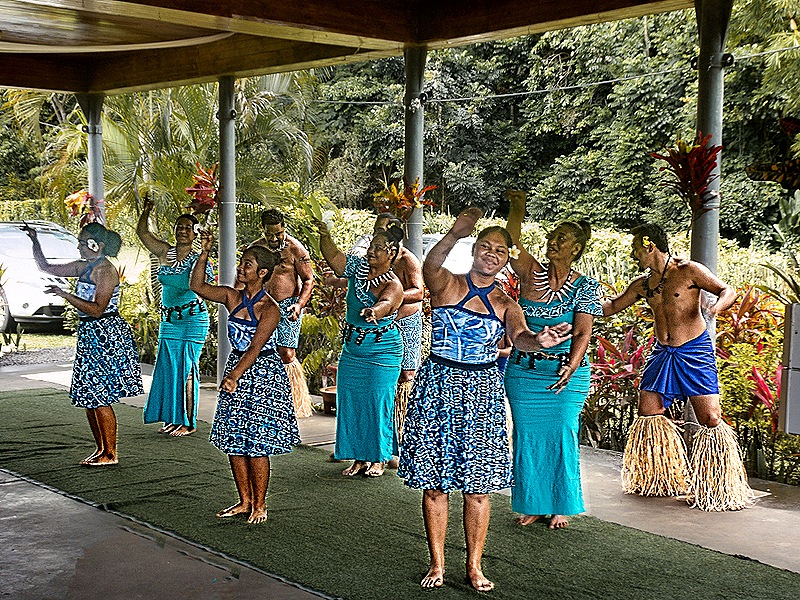
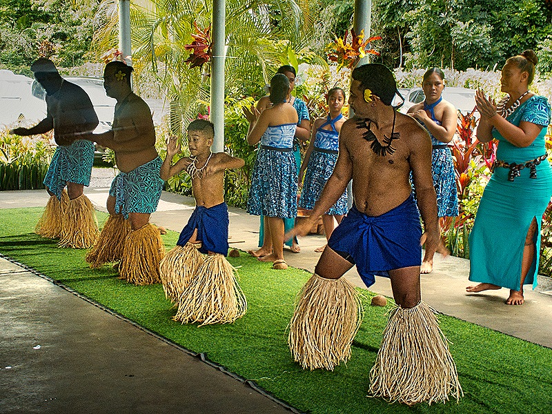
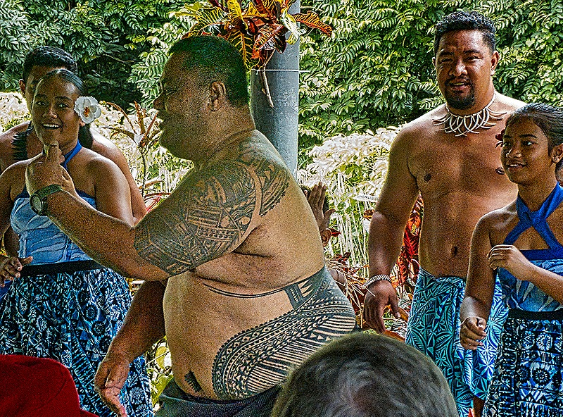
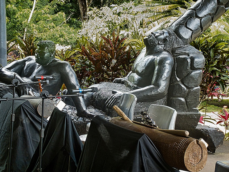
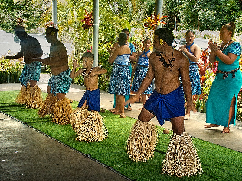
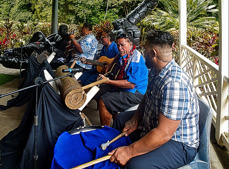
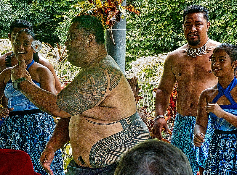
The dancing was very interesting, mostly performed in rows, sometimes standing and sometimes kneeling. There was a rhythmic band accompanying and at the end a rather hefty band member stood up, removed his shirt (revealing extensive tattooing) and danced. The band sat next to an interesting sculpture of two men sitting and seeming to be enjoying the music.
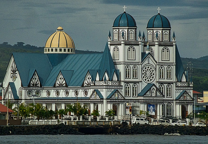
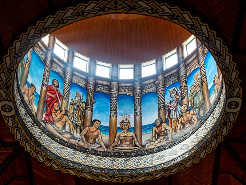
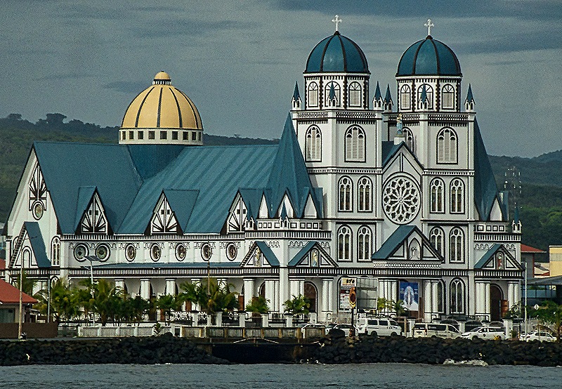
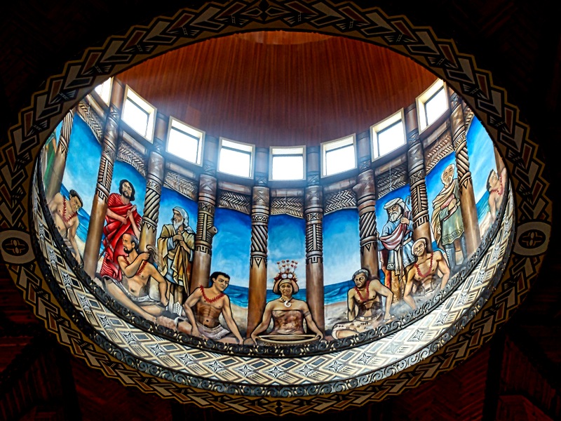
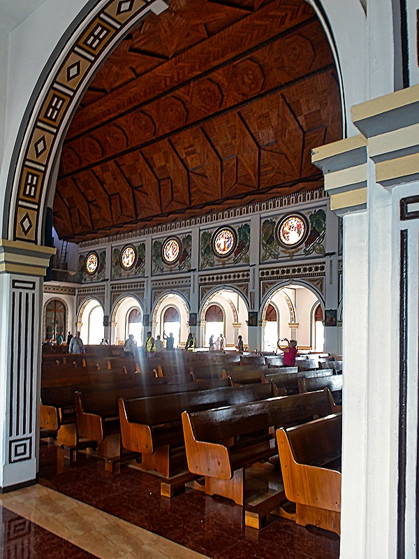
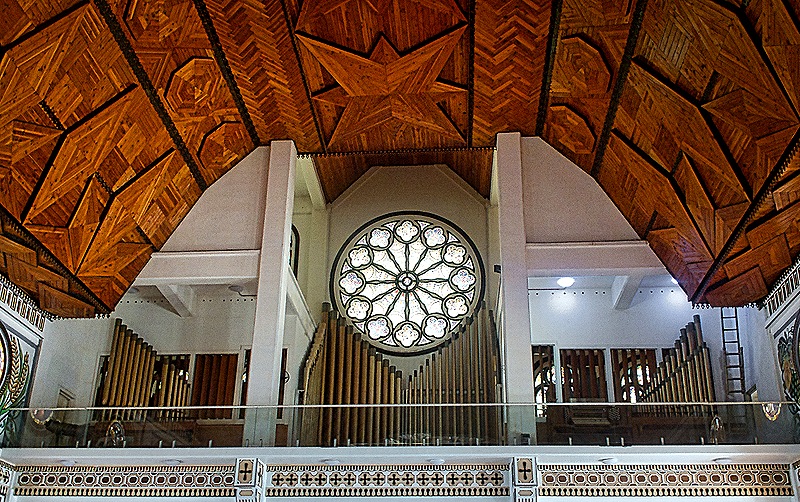
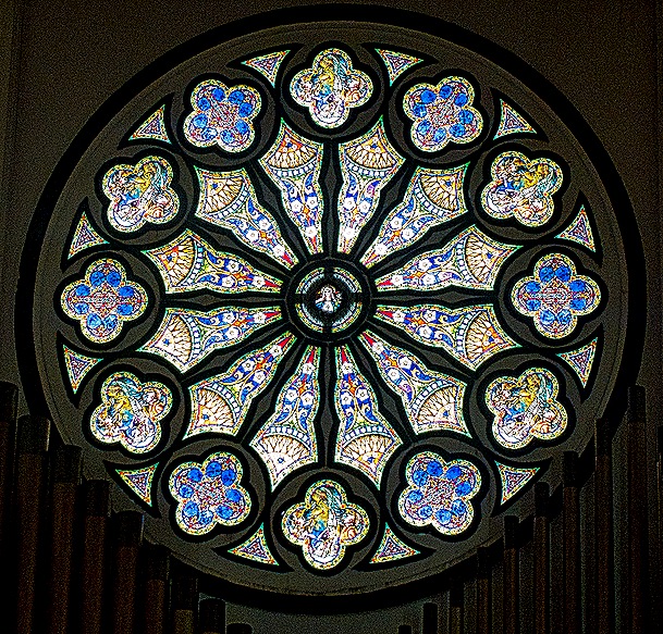
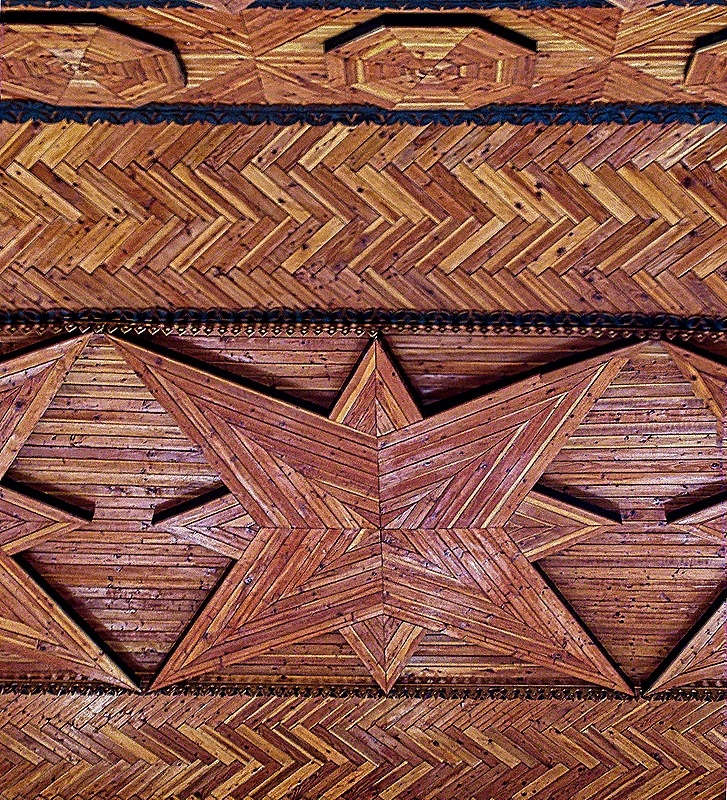
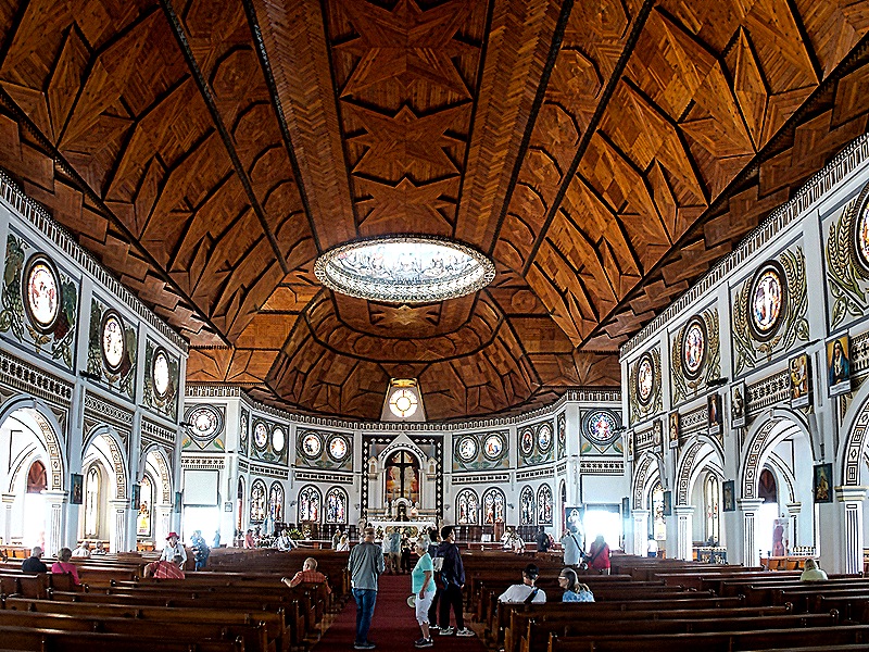
Our next stop was at the Immaculate Conception Cathedral, which was easily the most distinctive building we saw in Apia. There has been a church on this spot since 1857 and in 1884 it was replaced by a larger one. The 2009 earthquake damaged it beyond repair and it was replaced by this much larger one (with a capacity of 2,000 compared to the old church’s 400) that opened in 2014. The Apia archdiocese was created in 1966, so that is presumably when the church on this spot became a cathedral. We had a good view of it from the ship across the harbor. It is white with a deep blue roof and towers on either side of the front entrance topped by blue domes. There is a gold dome over the apse, the inside of which has a painted depiction of the Last Supper, with apparently Samoan figures seated around an ‘Ava bowl. It also has a very nice rose window near the entrance with a pipe organ surrounding it . The large interior is dominated by a stunning ceiling of imported mahogany carved into patterns resembling traditional Samoan male tattoos.
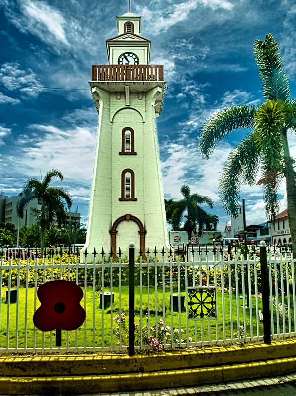
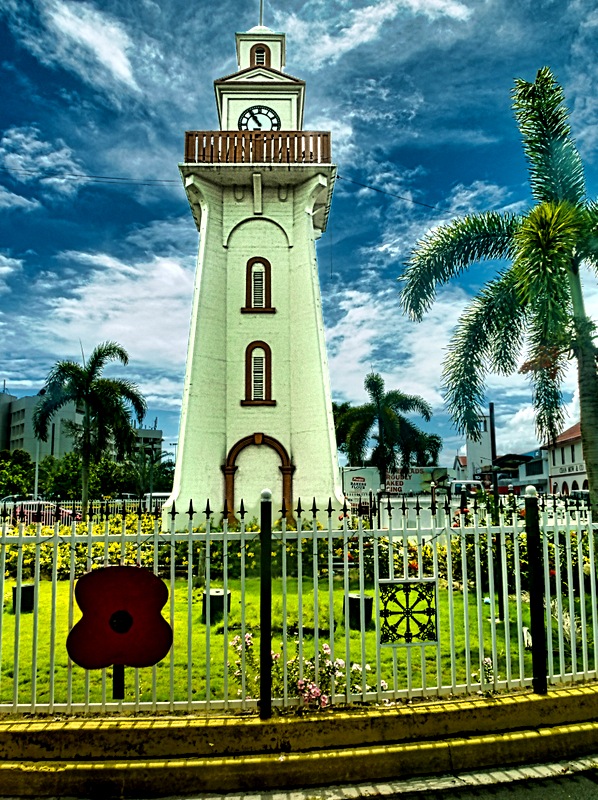
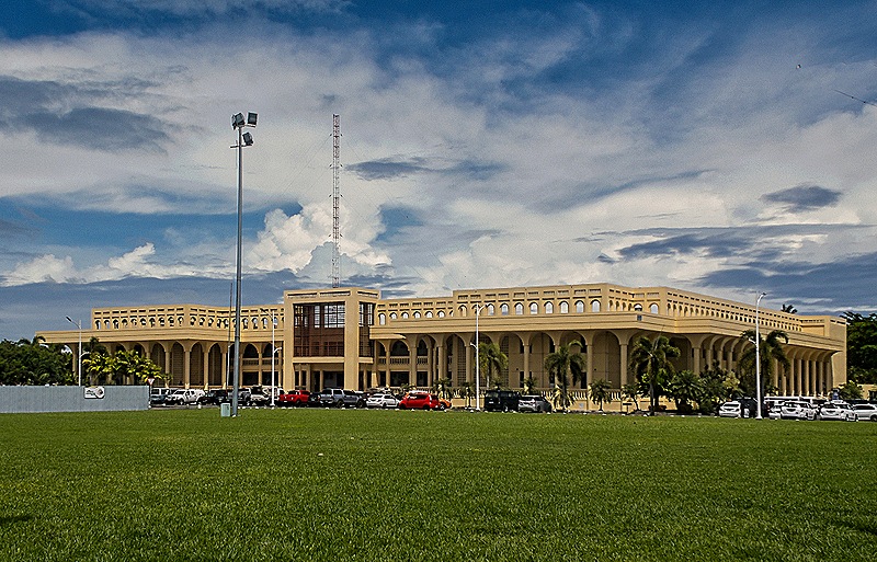
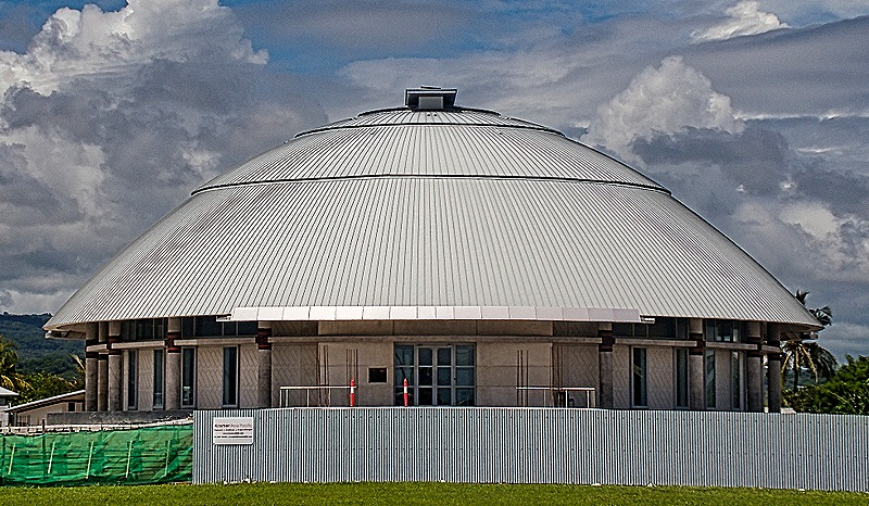
We drove across town to the Mulinuʻu peninsula. Apia’s clocktower was in the center of a traffic circle on our path through the central city. It was erected in the 1920”s as a memorial to Samoans killed in World War I and to the many Samoan victims of the influenza epidemic at the end of the war. Mulimu’u has been an administrative center of Samoa for many years and today the legislature and the main courts (among other buildings) are located here. We saw the interesting round and domed parliament building there, the design of which was based on the traditional Samoan meeting house called a Fono. Opened in 2019, this building (called the Maota Fono) was built by the Australian government to commemorate Samoa’s 1972 independence. Near the Fono was the new courthouse housing three levels of Samoan courts. Opened in 2010 this building has already undergone expensive repairs and renovation to correct severe deterioration. We thought this wide and low beige building looked rather institutional (after all, it is an institution) in contrast to the neighboring Fono.
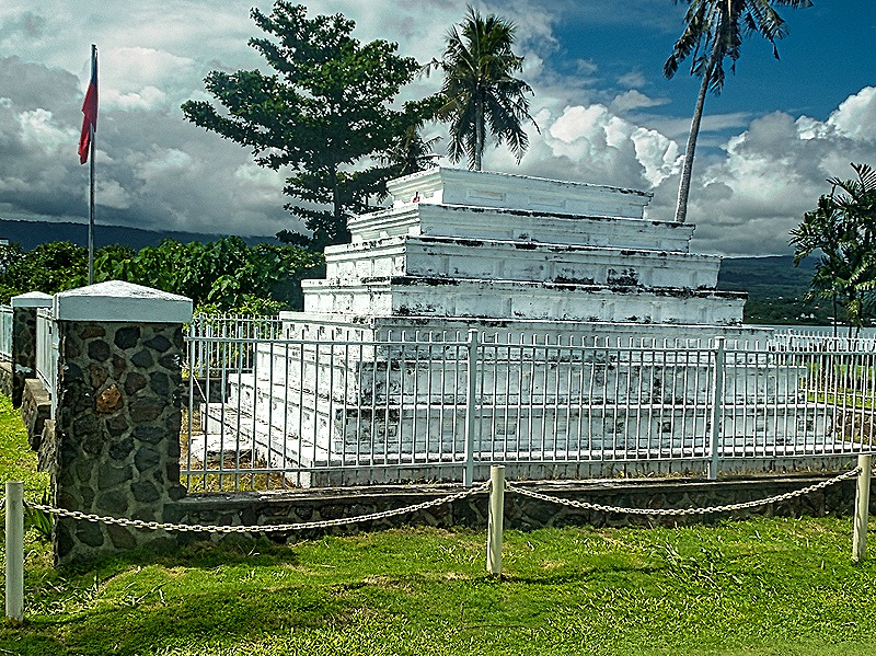
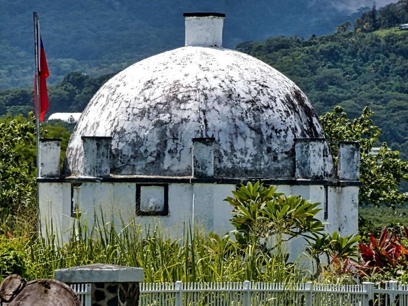
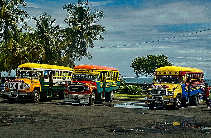
We continued on to the site of several tombs of prominent people (if not royalty). One looked like a step pyramid and the other was domed, both painted white and maybe 15 feet tall. They were located in a very nice green area bordering the ocean with many palm tees and tall grasses. Nearby was a parking lot with several buses painted in bright rainbow colors.
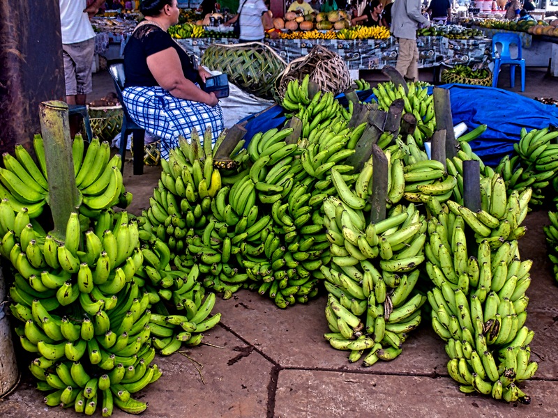
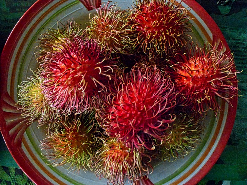
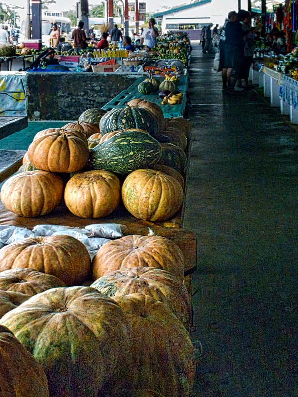
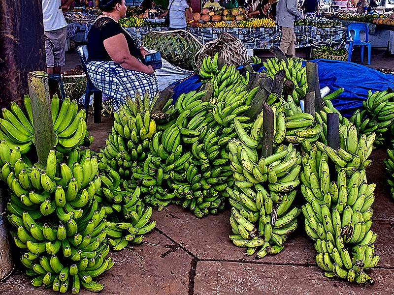
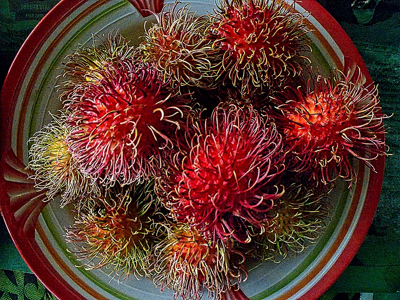
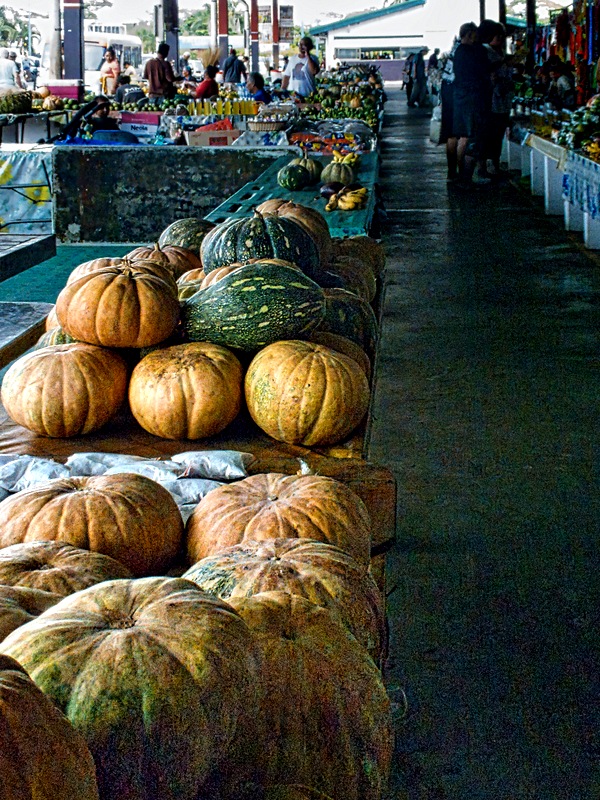
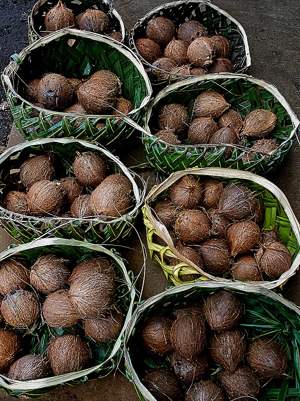
Finally, we drove back into town to visit the Fugalei produce market. This is a huge open air market under a roof with individual vendors selling mostly produce (although there are also some handicrafts and clothing vendors). We didn’t buy anything here . . . not only were we not in need of fresh produce but we had no Samoan currency, which is the only payment accepted at the market. We did enjoy exploring it though.
We returned to the ship. This was the end of our Samoan sojourn and we sailed away before dinner for Fiji.
Pago Pago, American Samoa 2026
After five days at sea we reached Pago Pago (pronounced “Pongo Pongo”) on January 19. Funny schedule, with only 3 ports in the first 15 days of the voyage, but Pago Pago is pretty far away from San Diego. Pago Pago is the capital of American Samoa, which is the southernmost populated territory of the United States and the only American territory south of the equator. Pago Pago sits on Tutuila, the largest of the 7 islands making up the eastern part of the Samoan archipelago more than 2,000 miles southwest of Hawaii. It has a huge mountain lined harbor that is one of the deepest in the South Pacific through which we arrived this morning. The total land area of these 7 islands is about 77 square miles, a little larger than the District of Columbia, and their population is less than 48,000, about 3,000 of whom live in greater Pago Pago.
Samoa has been inhabited for about 4,000 years, originally by Polynesian navigators. Sporadic contacts with Europeans began in the late18th century, mostly whalers, missionaries and military vessels. This led ultimately to the Tripartite Convention of 1899 among the United States, Germany & Great Britain that recognized American control of the eastern part of the Samoan Archipelago (now American Samoa), German control of the western part (today the independent country of Samoa), and British control of Tonga and a few other Pacific islands. American Samoa has been a US territory ever since, its inhabitants recognized as US Nationals (but not citizens, apparently at their own request).
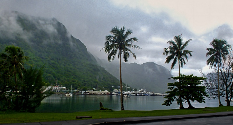
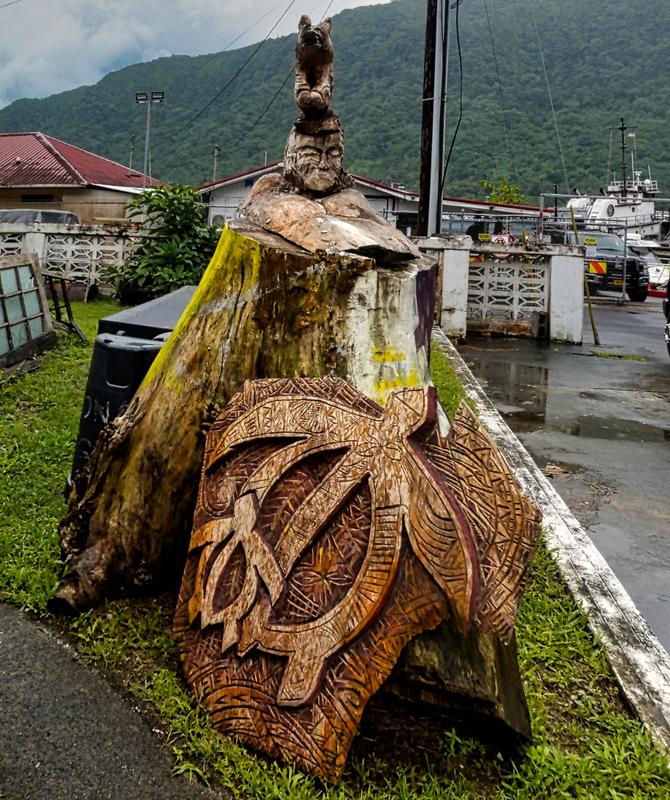
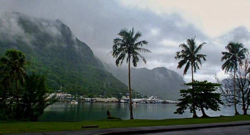
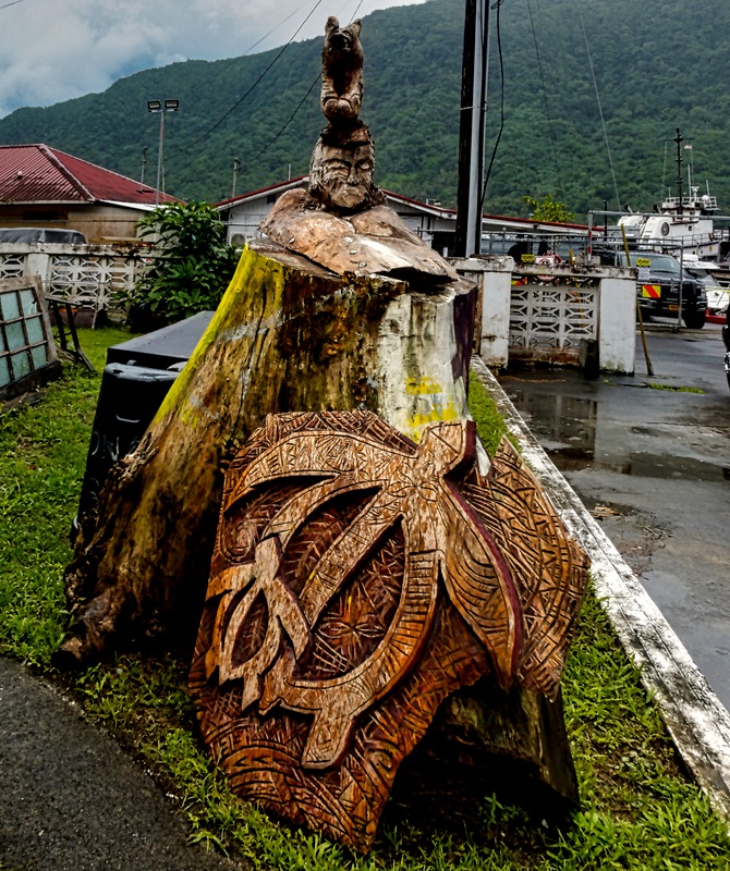
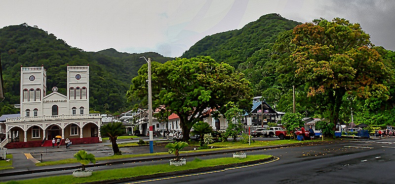
We left the ship after breakfast to explore the city on foot. As you can see from the picture above, however, it was a gray and rainy day, getting more so as the day progressed. Our first stop was the Jean P. Haydon Museum, founded in 1970 as the Museum of American Samoa, which was just outside the port. An interesting sculpture was outside near the street in front of the museum.
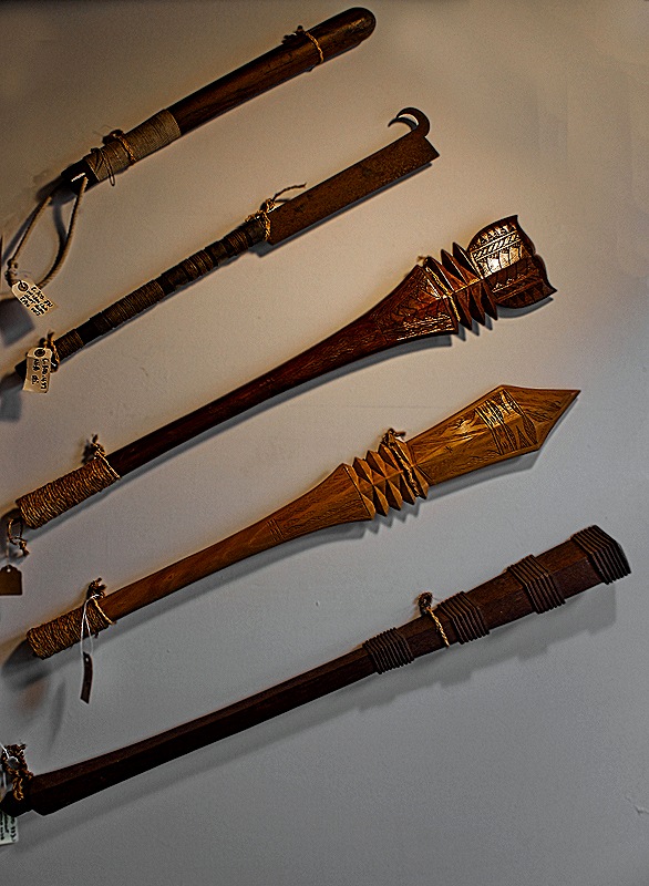
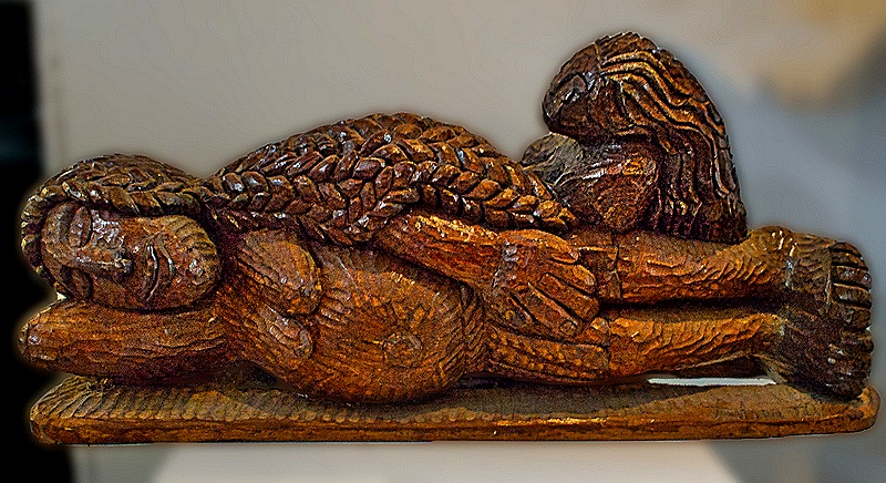
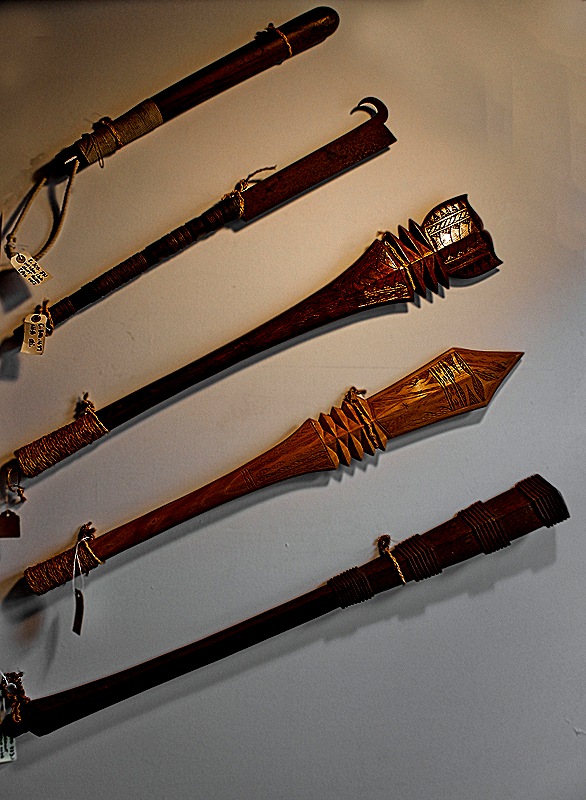
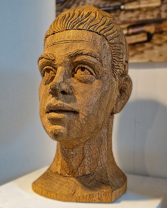
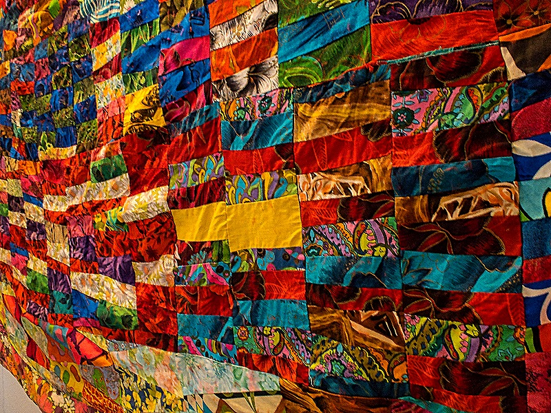
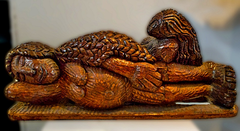
The concrete building housing the museum was built in 1917 and served for more than 30 years as the commissary of a US naval installation, then for another 20 years as the local post office before becoming a museum in 1970. Its displays of Samoan artifacts were quite interesting although only a very small part of its collections were to be seen in the few rooms open while the building is undergoing renovation. Among the items we couldn’t see were some moon rocks sent by the US government in recognition of American Samoa’s participation in the Apollo program, during which seven of the space capsules splashed down nearby. Notable to us among the artifacts on display were elaborate wooden sculptures, a collection of war clubs and a very large and colorful quilt.
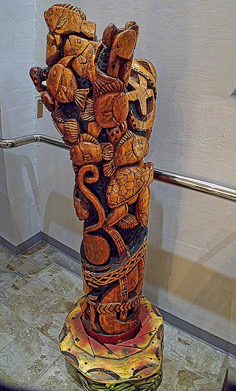
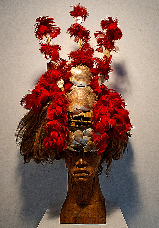
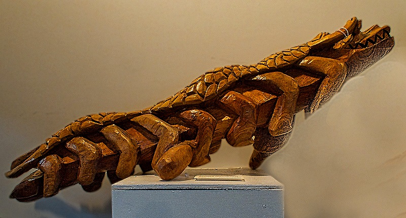
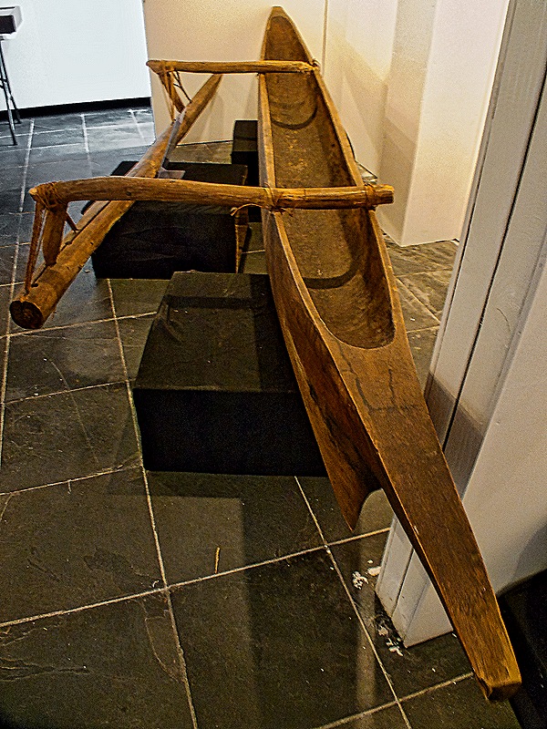
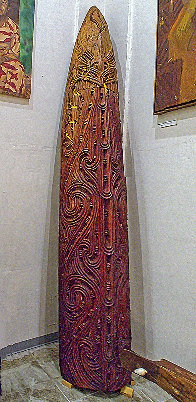
We saw two canoes, one a dugout outboard canoe and the other an intricately carved Maori canoe presented by them to the museum in 2008.
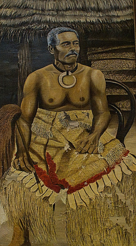
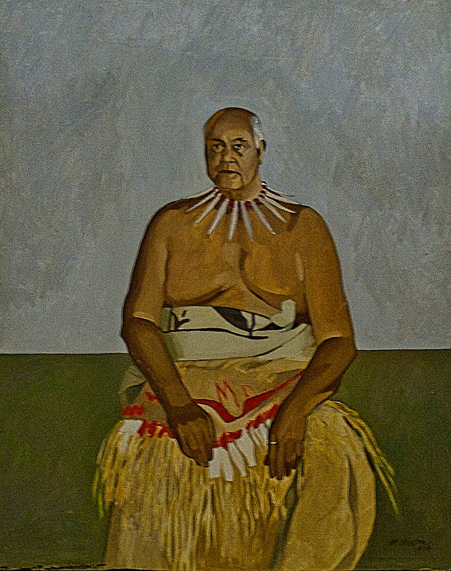
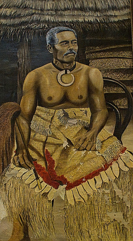
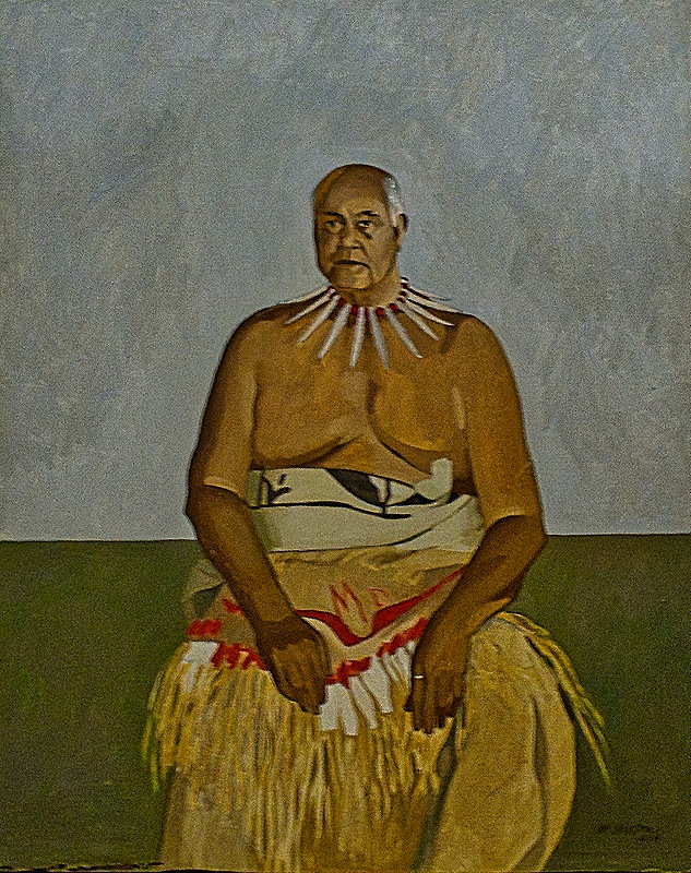
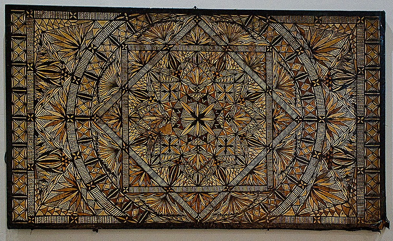
Several nice paintings of Samoan chiefs were on the walls. And there was a large Siapo, a Samoan art of dying tapa cloth with a detailed design transferred from a carved wooden board.
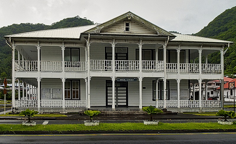
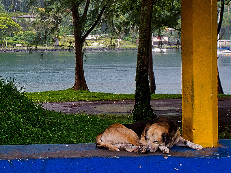
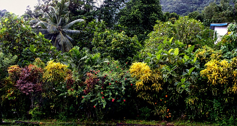
The next place we wanted to visit was the visitor center for the Samoa National Park. Most of this walk was in rain or at least drizzle. We stopped into the small market and a couple of stores, mostly to get out of the rain. On the way we passed the High Court (whose justices are appointed from Washington and whose judgments are reviewable directly by the US Supreme Court) and the Congregational Christian Church of American Samoa. We passed some beautiful gardens and a park bordering the bay with a dog relaxing on what appeared to be a bus stop bench.
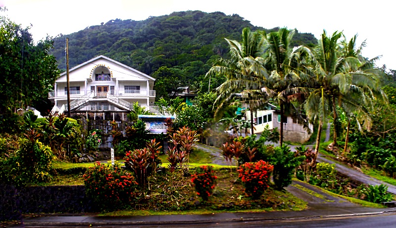
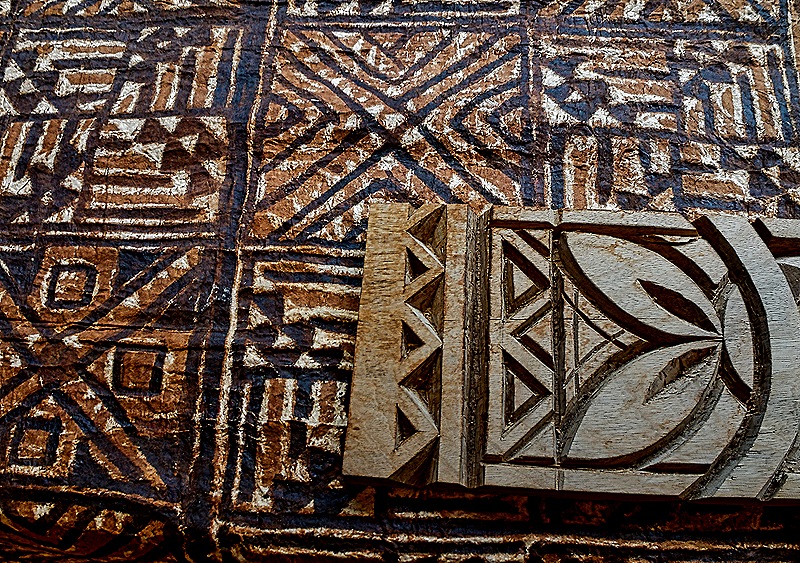
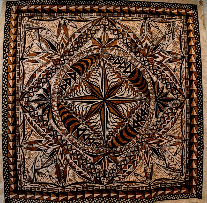
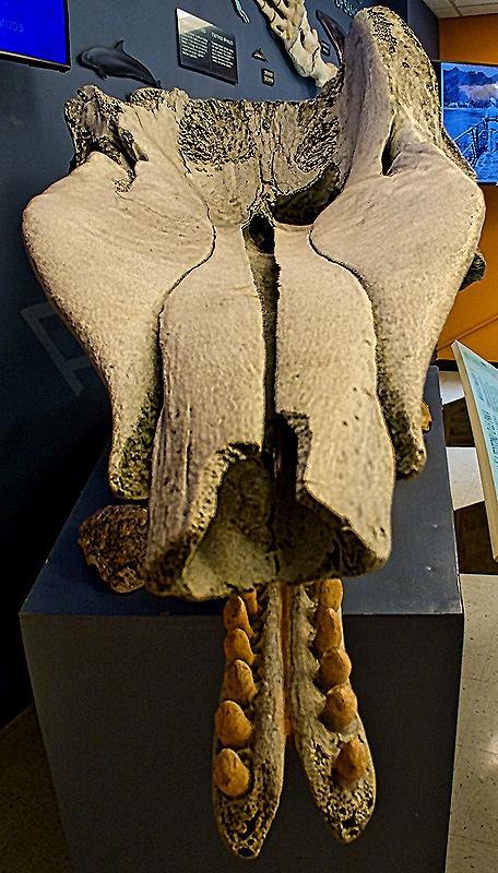
Unusual in our experience, the National Park visitors center is nowhere near the park itself. Instead it is on the second floor of a two story building in town. We have read that there was a tsunami in 2009 that caused a great deal of damage here, including wrecking the park visitor center, so perhaps it moved to this new location after that. Anyway, it was a long flight of stairs up to the visitor center, which was fairly small but packed with interesting and informative exhibits. Highlights included a movie about the making of tapa cloth and siapo, which involve days of very exacting work by several people. It explained, among other things, that tapa cloth is made from the bark of certain young trees, scraped clean with clam shells and softened in water. Tapa cloth is made primarily in Samoa, Fiji and Tonga, but also on some other Polynesian islands. On display were some siapos along with carved boards used to apply the dye. Also interesting was the skull of a sperm whale that washed up on one of the islands in 2015. Many other exhibits were on display and there was (of course) a souvenir counter.
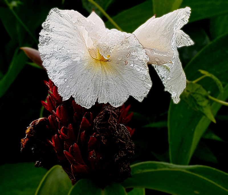
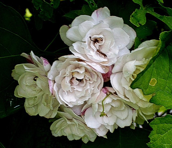
We asked directions to the library and also hoped to see a little of the national park. Both of these were in the opposite direction from the ship so we headed back that way. We saw some more interesting flora, but the rain increased steadily as we walked and by the time we reached the port we were pretty soaked. So we decided to call it a day and reboarded the ship for lunch and a change of clothes.
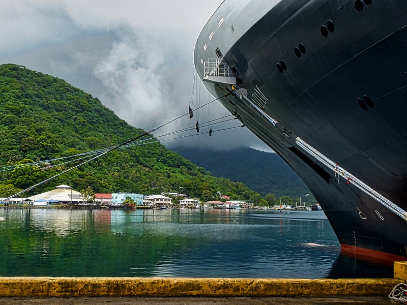
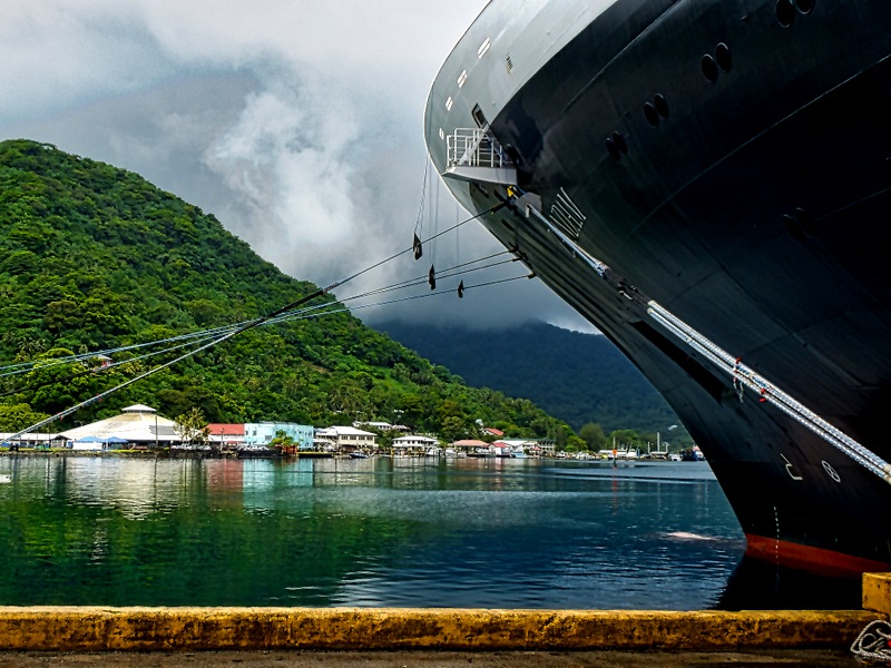
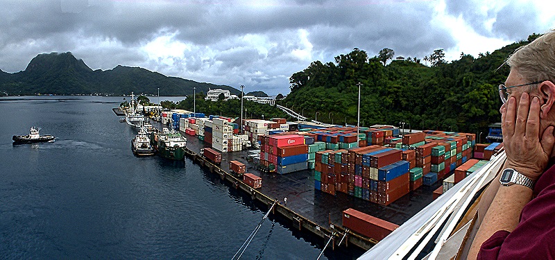
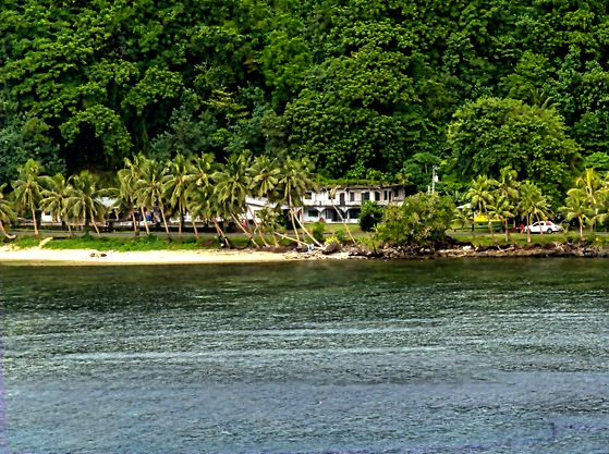
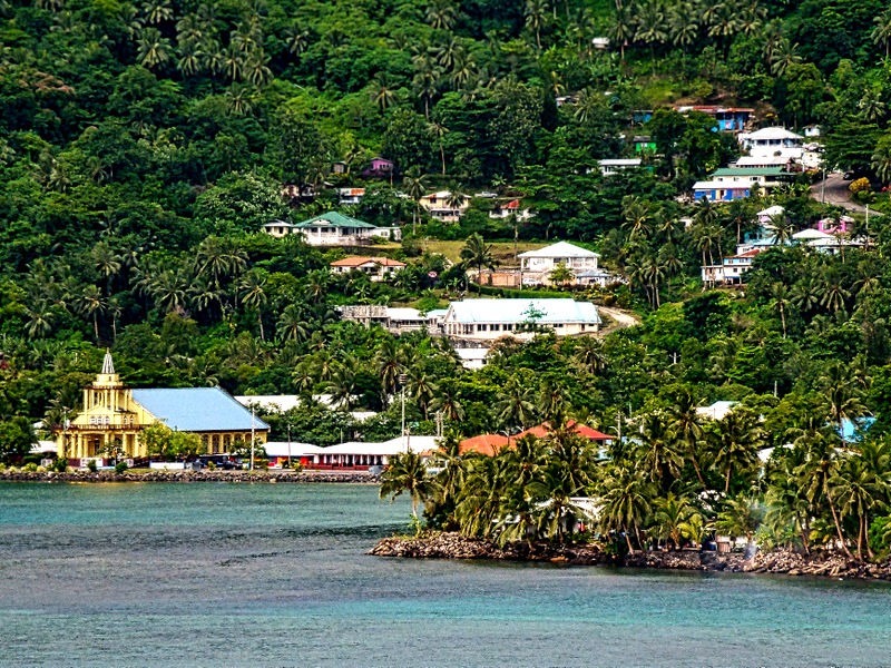
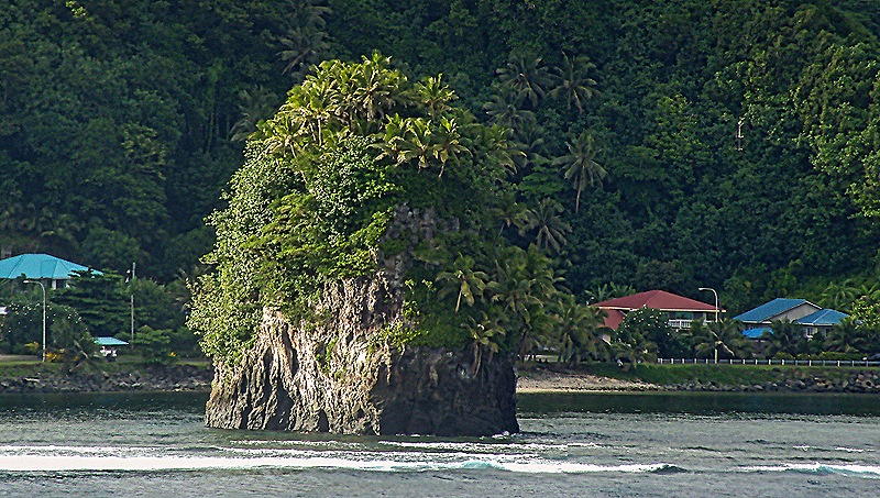
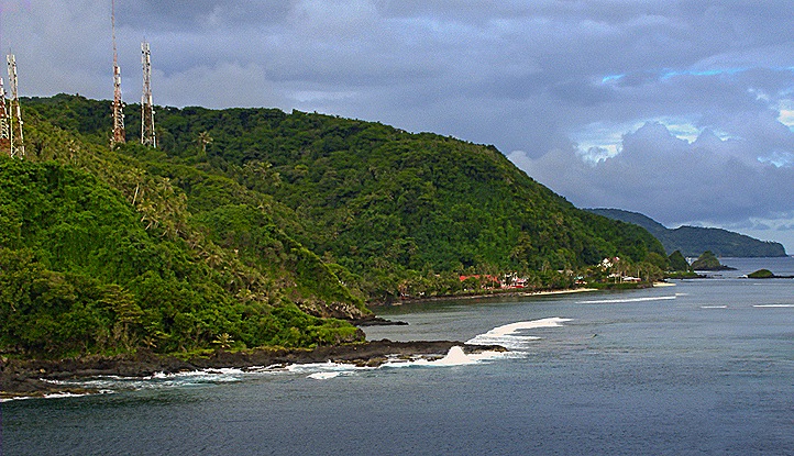
We sailed away before dinner while it was still light enough to see the harbor’s mountainous surroundings. We were docked right next to a relatively small container pier but could see the mountains beyond the large harbor. One particularly large mountain with an almost flat top is volcanic in origin and is called Rainmaker Mountain because it helps keep the wet weather over the harbor, making it the rainiest harbor in the world. The shore and mountains were quite lush with dense forests of green trees, shrubs and palms. We passed small villages along the water on land apparently cleared from the forests, one of which had a distinctive bright yellow church. As we reached the mouth of the harbor we passed one of the so-called flowerpot rocks. There are two of these, called Fatu and Futi, but we only saw one of them. Named after a couple from folklore whose canoes sank here, they stand as markers of the entrance to the harbor. Leaving the harbor we settled down for the night’s sailing to our next port, a whole 80 miles away.
Kahului, Maui, Hawaii 2026
January 13 found us docked in Kahului, mostly because (we think) it is a deep water port. We understand that before 2023 most cruise ships visiting this island docked in Lahaina, which was the capital of the Kingdom of Hawaii for 35 years and was reputed to be quite beautiful with much history to see. But in 2023 most of Lahaina burned to the ground and is still not ready to receive substantial numbers of visitors. Hence another port had to be found and Kahului was it. We understood that there was not a lot to see in this small city (although we did see local folks swimming and even surfing on a beach almost next to the ship). We had not been able to visit Volcanoes National Park near Hilo on our last visit to Hawaii, so we decided to take an excursion to the top of Haleakalā, a dormant volcano in Maui.
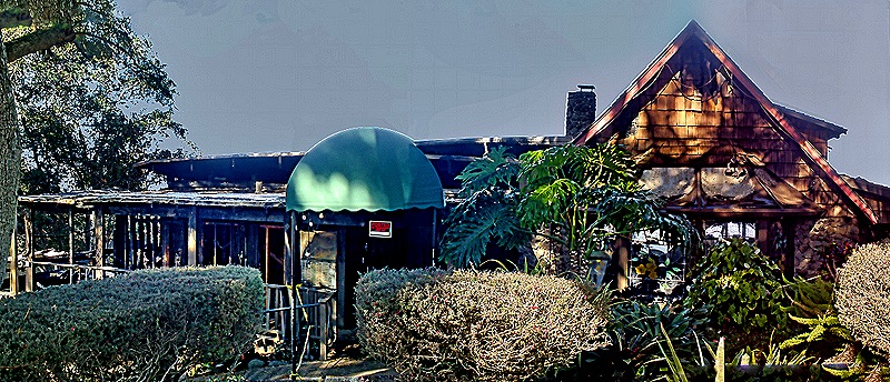
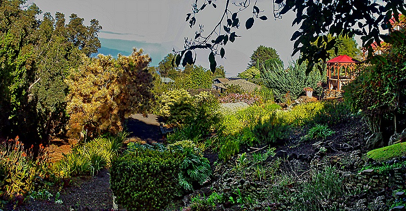
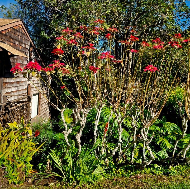
We drove across Maui in a bus driven by our engaging and talkative guide Wendell, a native Hawaiian. We passed farms, open terrain and the airport on our way; we have been on many longer drives during excursions, but this one was not short. As we drove up the mountain we made two stops, in part to give us a chance to acclimatize gradually to the higher elevations. Our first stop was at the Kula Lodge, near the town of Kula. Kula actually isn’t a town but a “census designated place,” because Hawaii has no incorporated towns or cities, just counties. Kula was the birthplace and childhood home of Dr. Sun Yat Sen, who led the revolution that overturned the Chinese Empire. Kula had a rather nasty fire in 2023 at the same time as the Lahaina fire, which destroyed more than 24 houses in this small town but left this Lodge untouched. However in August of 2025, about 5 months before our visit, their restaurant was destroyed by a fire. So when we visited they were selling food from a food truck behind their artisan market. There were some nice flowers here, notably poinsettias blooming on tall bushes. There was also a beautiful view down the mountain from the back of the market building.


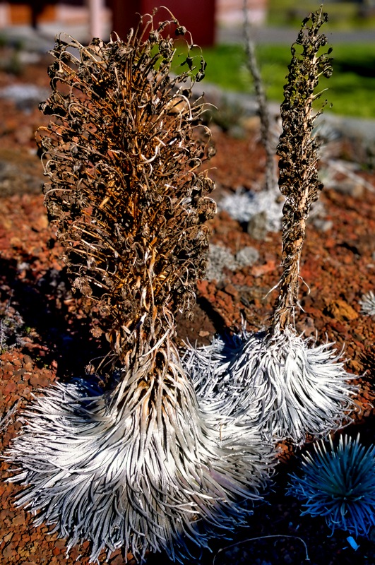
Our next stop on the way up was the Ranger station for Haleakala National Park. It was full of maps, posters and other exhibits about the park, it had a great view across from the back and a lot of unusual plants that, we understand, only grow on this island. Notable among them is the Haleakala Silversword which at one time covered the volcano’s top to the extent that it looked like a snow cap. This plant only grows here and only from 7.000 to 10,000 feet (there is another variety growing on the big island). It naturally lives between 15 and 90 years and blooms once just before its death, sending up a tall stalk with many flowers. It has been listed as endangered since the 1990’s as a result of damage from visitors and grazing animals earlier in the 20th century. While they are protected today from human and animal damage, climate change is apparently taking a toll.

From here our path to the top was along many fairly sharp switchbacks with views of the vast expanse below. The mountain top above the clouds in the distance may be Mauna Kahalawai, Maui’s other volcano: older, shorter and more eroded than Haleakala.

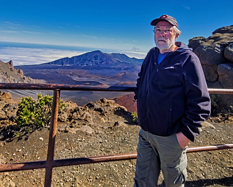
Haleakalā is more than 10,000 feet tall and its slopes make up more than three fourths of the island of Maui. The volcan’s name means “house of the sun” and the Hawaiians believed that its peak was the home of the grandmother of Maui, a demigod after whom the island is named. It has erupted 10 times over the last 1,000 years, the last eruption being estimated to have occurred during the 16th century. The volcano is dormant, not extinct, so another eruption in the future is possible. We parked in a small lot adjacent to a visitor center with its explanatory exhibits. Then we walked out to the observation area, happily protected by a metal fence. It was quite a view.
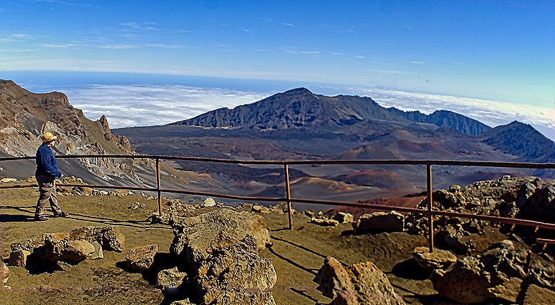

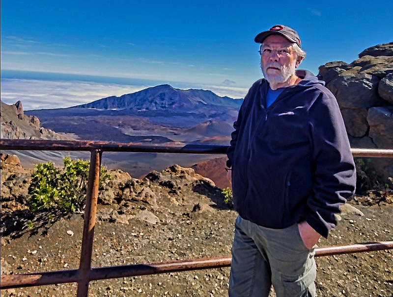
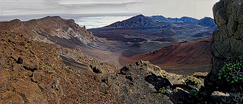
This huge crater is more than 11 miles across, more than 3 miles wide, and more than 2,500 feet deep. As we understand it, this is not the usual crater formed by volcanic activity but a depression mostly formed by the confluence of two rift zones (areas where the ground is pulled apart, presumably by tremors) along with erosion. There are, however, some smaller volcanic cones inside the crater.
To the right of the observation point is a very rocky higher summit with a stairway path leading around to the top. The summit was only about a fifth of a mile but it was a very steep path with very large steps (especially for folks with shorter legs). Mary stayed near the observation point and listened to a Ranger talk about the materials making up the caldera while Rick climbed the stairway. I (Rick) intended to climb until I was tired and then come back, but I kept passing families with children descending from the top and it seemed like it couldn’t be too far to the top. So I kept going and did reach the summit, which had its own viewing point.
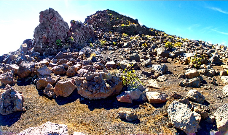


As you can see from the pictures above, the view from the summit was pretty similar to the one from the lower observation point, except for the better angle. Perched on a neighboring hill that could be seen clearly from the steps while descending the summit was the Haleakalā Observatory. This location lies above the atmosphere’s inversion layer, giving particularly clear views of the sky. A number of astronomical projects share this space, including one that has discovered more than 4,700 space objects from asteroids to stars, and one operated by NASA that tracks the artificial objects orbiting the Earth. It is not open to the public.


By the time I got back down to the visitor center it was time to leave. We drove back down the way we came, with nice views of the seacoast and the settlements at the bottom of the mountain. We spent the rest of the afternoon on the ship and in the evening we said goodbye to Hawaii and sailed away for five days at sea.


Kona, Hawaii 2026
We spent January 12 in Kona. We had seen most of the landmarks in this small town on our first visit here in 2024, which you can see here:
https://baderjournal.com/2024/04/02/kona-hawaii-2024/
So this time we signed up for an excursion that would take us along the coast to the south. This was a tender port so we had to be ready to leave by 7:30, which necessitated a hurried early breakfast. We boarded our tour bus near the tender port where we met our driver & guide, Gabriel, who was very knowledgeable about the history and ecology of the area and shared a lot of that with us.
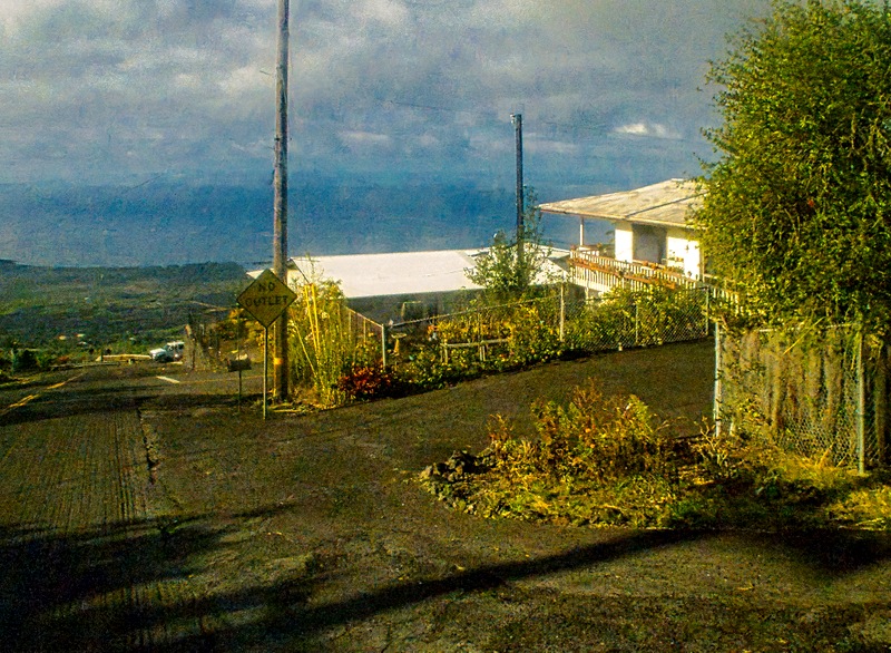
We didn’t stop or really see much of it, but at a point pretty far down the coast Gabriel told us we were passing Kealakekua Bay where Captain Cook was killed (and possibly eaten) during his third voyage on February 14, 1779. This was Cook’s second visit in a few weeks; the first had been very friendly but the second deteriorated rapidly (possibly because his return disabused the Hawaiians of their impression that he was one of their gods). Cook’s visit might have been the first by a European and he named the archipelago the Sandwich Islands after Lord Sandwich, who was one of the sponsors of his voyage. Here are a couple of distant photos of that bay (we think) as we drove past on the road.
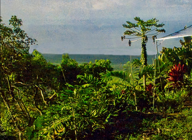
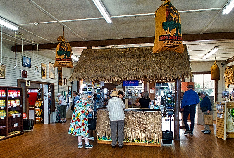
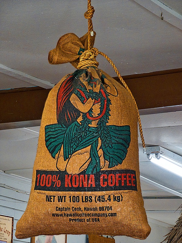
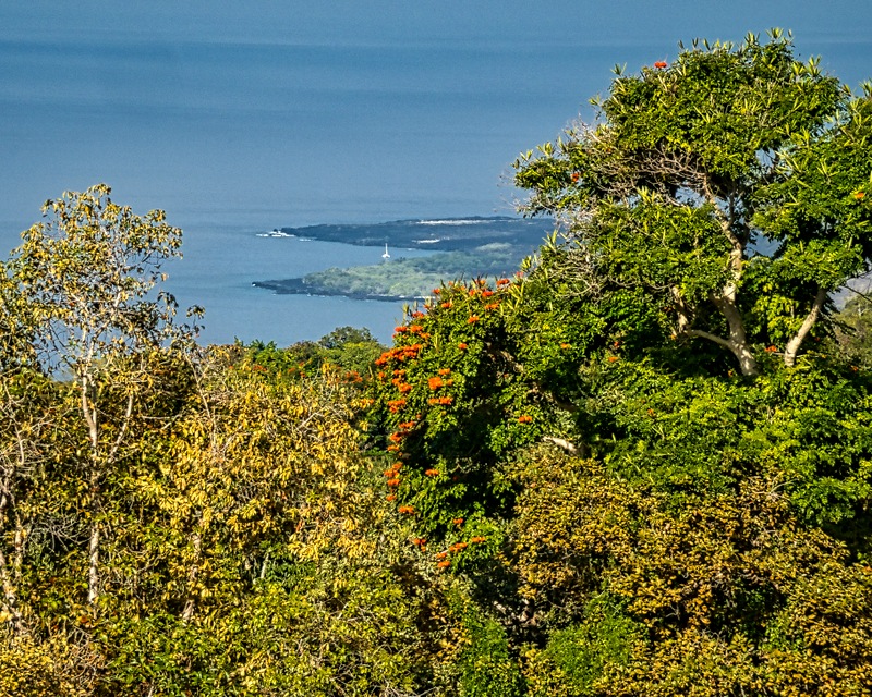
Our first stop was at the Royal Kona Coffee Center. Kona coffee is well known as a premium brew and it is very expensive. Widely marketed in Hawaii, it is only grown in this area, mostly at farms on the slopes of volcanoes. The Coffee Center had an area where various brands of Kona coffee could be tasted free of charge. We tried some and it was good, but really it tasted like . . . coffee. We didn’t buy any. In addition to coffee, the Coffee center sold a variety of souvenir items and was a nice place to visit. It was situated on a high hill with a beautiful view overlooking a lush woods toward the sea.
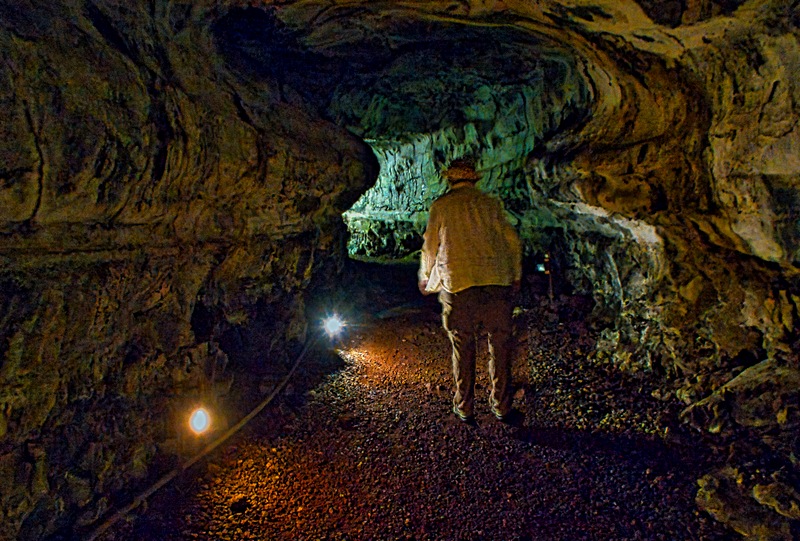
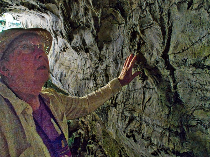
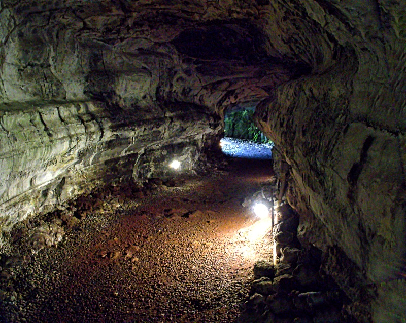
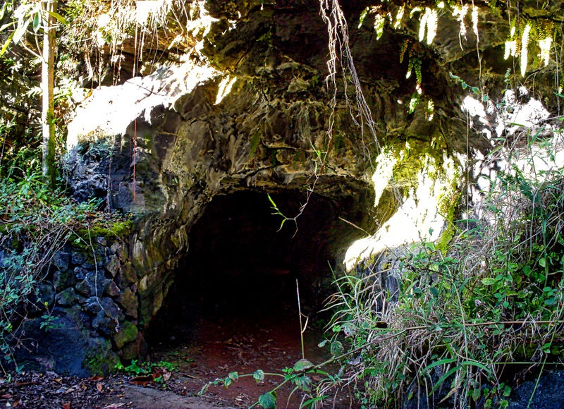
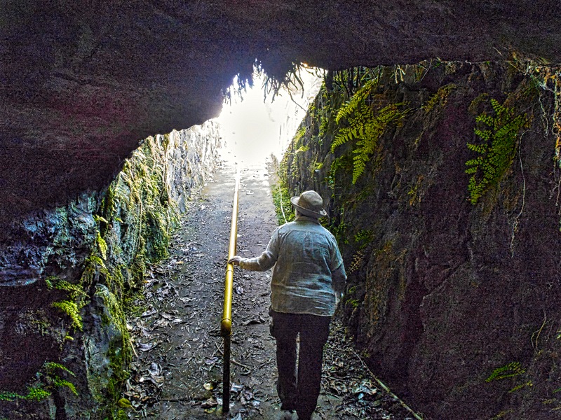
We walked down a long path on the hillside behind the Coffee Center to visit a lava tube. Lava tubes can be formed in several ways, but are basically long tunnels (one in Hawaii extends for some 40 miles) through which lava can flow for much greater distances than it can over land. The one we visited was not very long but quite interesting to walk through. It was lighted inside by electric ground lights, having a pretty dramatic effect on the lava patterns of the walls and ceiling. We had planned to visit one of these during our visit to Hilo in 2024 but it didn’t work out, so we were happy to have a second chance here.
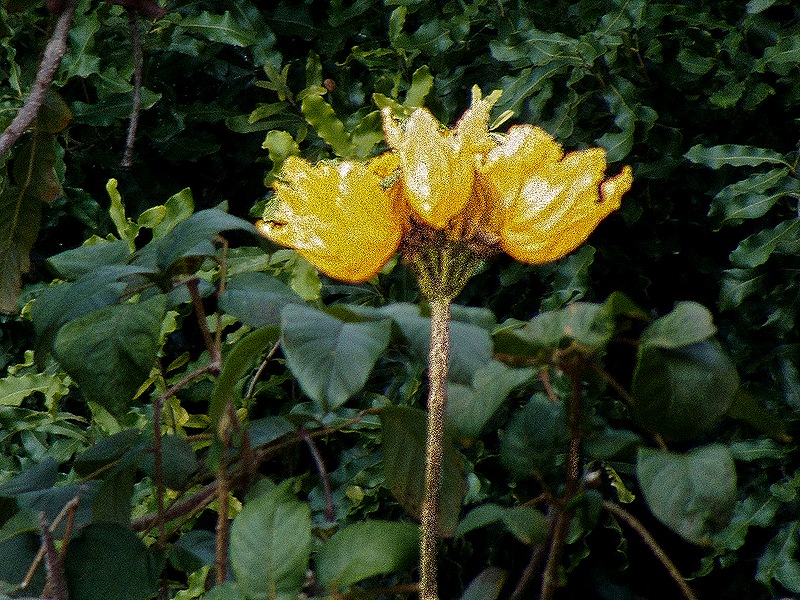
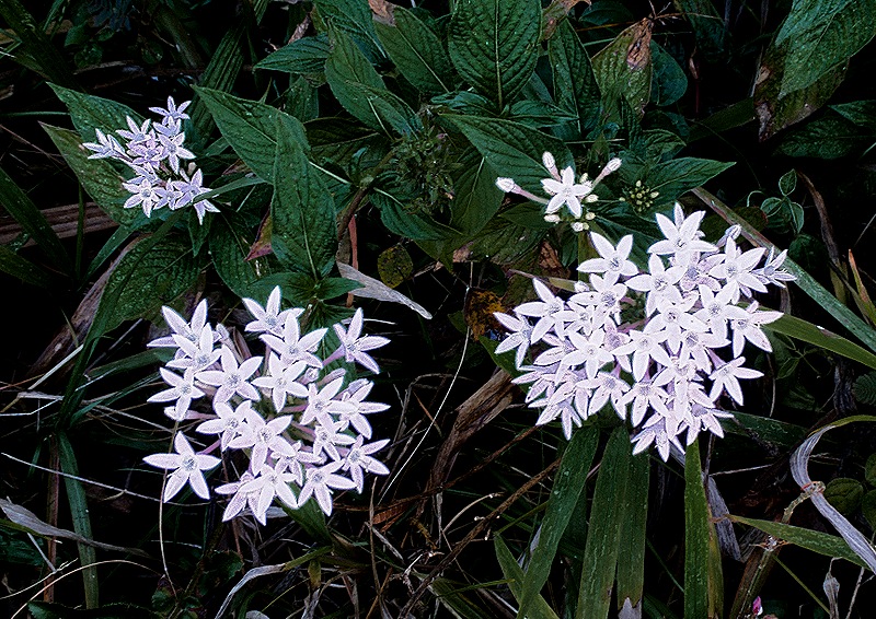
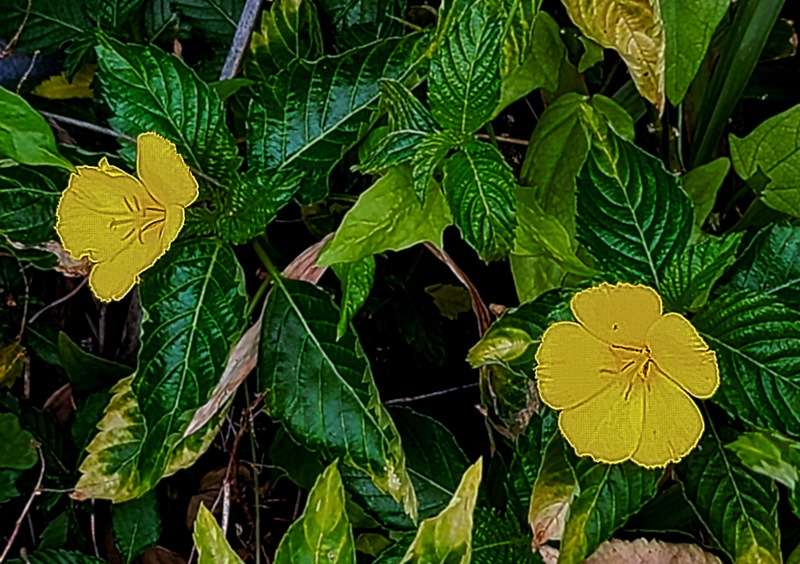
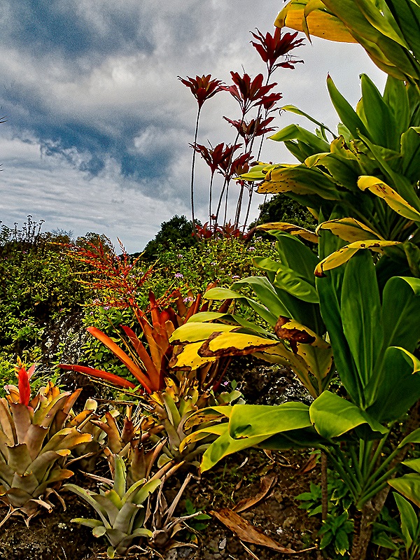
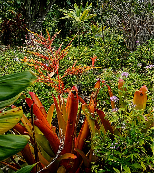
We saw many beautiful flowers in this part of Hawaii.
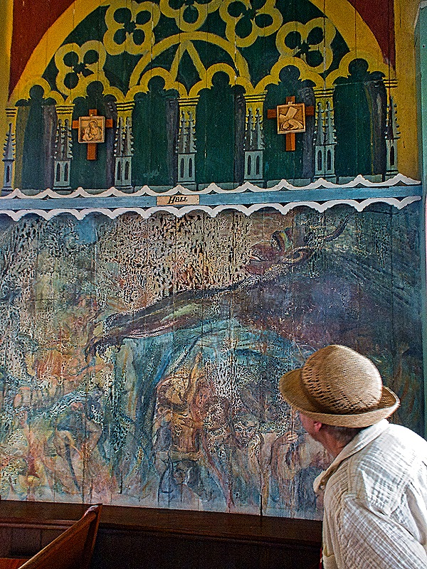
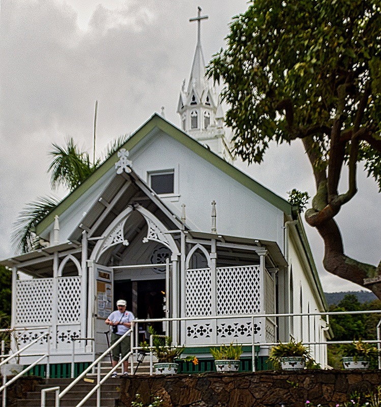
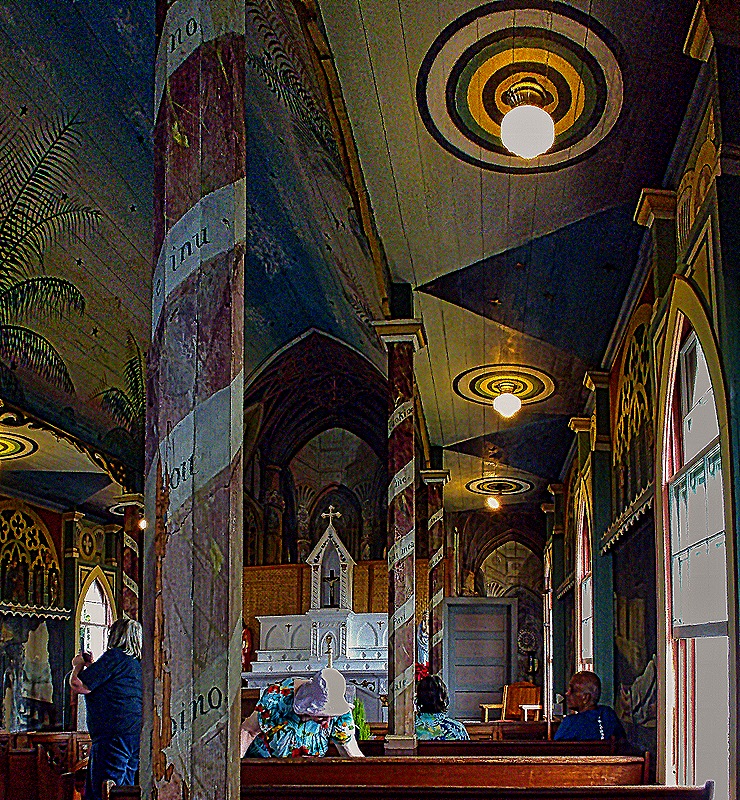
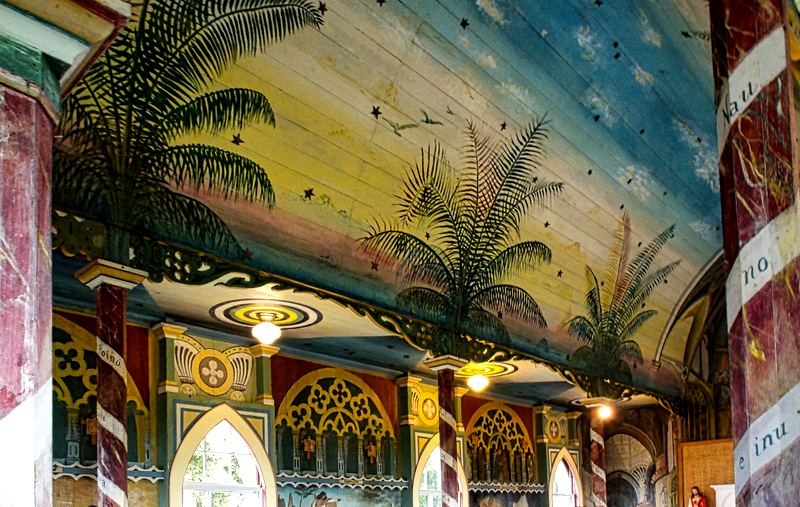
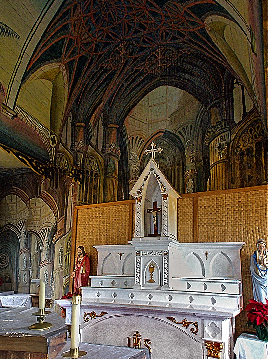
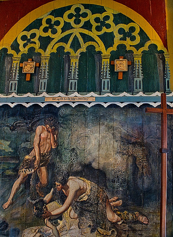
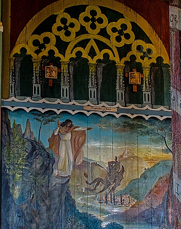
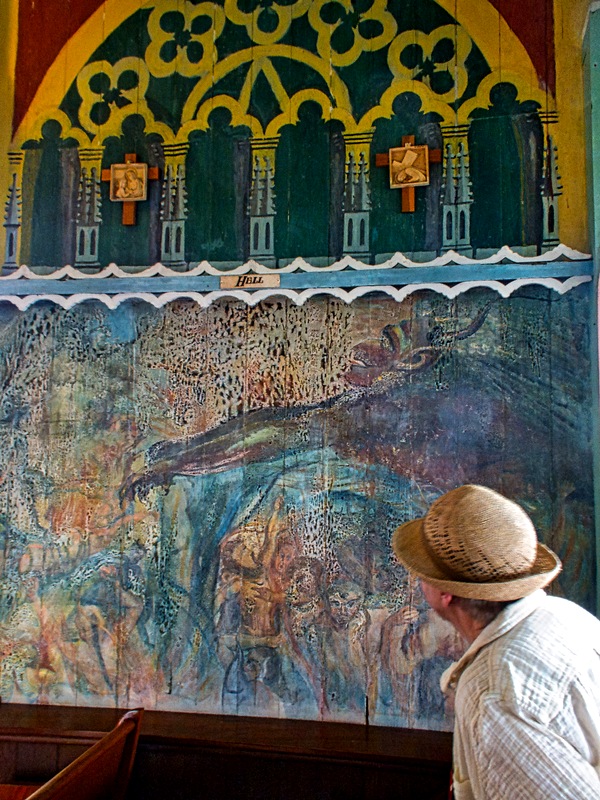
Next we visited St Benedict’s Catholic church in Honaunau. It was constructed beginning in 1899 under the direction of Father John Velghe, a Belgian missionary who led the church until he returned to Belgium in 1904. It is called “The Painted Church” because Father Velghe, with no artistic training, personally painted the entire inside of the church, using house paint on wood, between 1902 and 1904. The side walls have paintings of bible scenes, which served as teaching aids for a congregation that was largely illiterate. The wall behind the altar is painted to look like the inside of a European gothic cathedral. The support pillars are painted to resemble red marble with white paper spiraling up them containing religious sayings in the Hawaiian language, with palm fronds appearing to grow from them on the ceiling above. There are other “painted churches” in Hawaii, but this was the original. (Included below are three paintings depicting Cain & Abel studying Eve’s countenance, the temptation of Jesus (with the devil being cast out), and Mary (not the biblical one) looking at a depiction of Hell.)
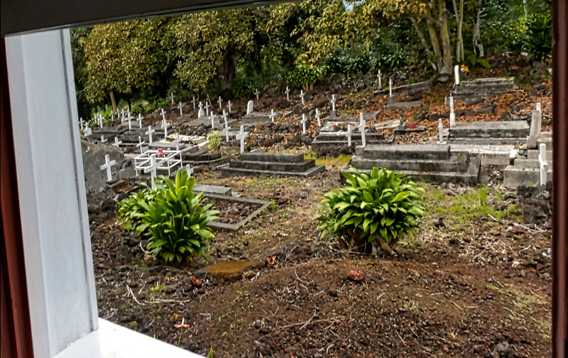
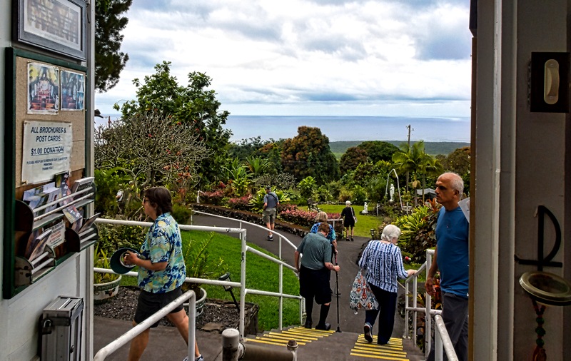
Through a window of the church we could see the cemetery; the view out the front door was of the ocean.
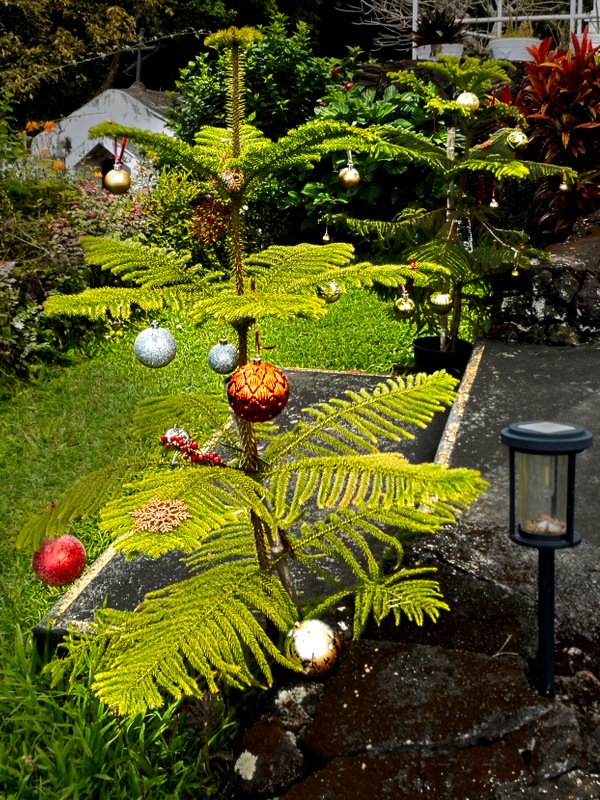
Outside were extensive and colorful gardens, highlighted by what looked like a couple of small fir trees decorated with Christmas ornaments.
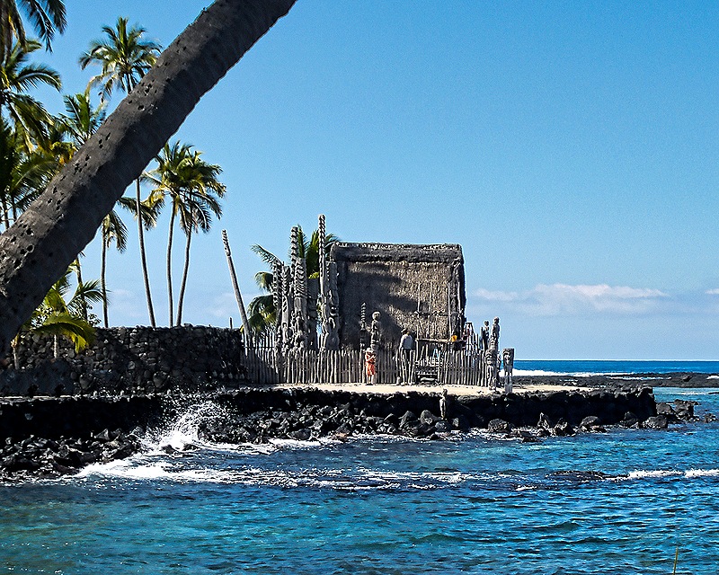
We continued on to Puʻuhonua o Hōnaunau National Historical Park. This was a “Place of Refuge” until the early 19th century, where individuals who had violated a sacred “kapu” (also known as taboo) could seek ritual cleansing and rehabilitation that would remove the applicable punishment of death. But to do so they would have to make it to the Hale o Keawe heiau (temple) here before being killed by pursuers seeking to enforce the kapu. This is a remote spot and reaching it while on the run was quite a challenge. The heiau was built in the 17th century.
But this was more than a Place of Refuge. There was a fishing village and artisan community. Kona’s last kings lived here on the other side of a wall from the heiau and their remains were buried here, as were other important nobles called ali’i. In 1829 the royal remains were moved to a hidden vault in the cliffs overlooking nearby Kealakekua Bay and the heiau was destroyed.
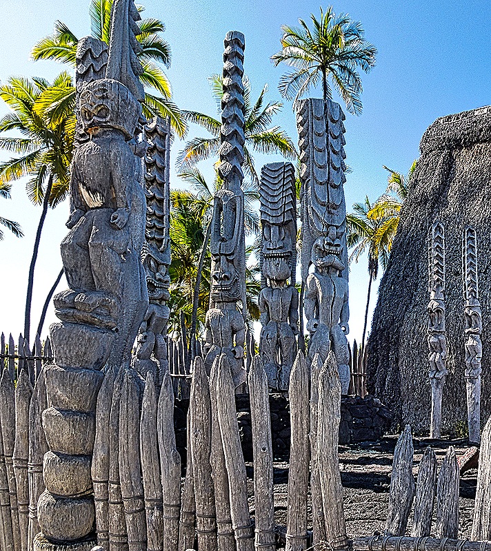
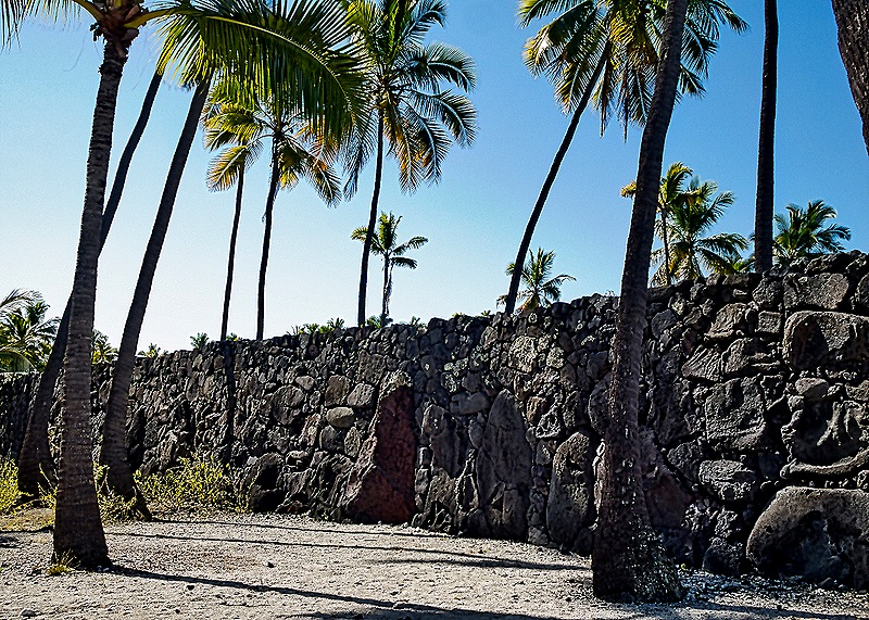
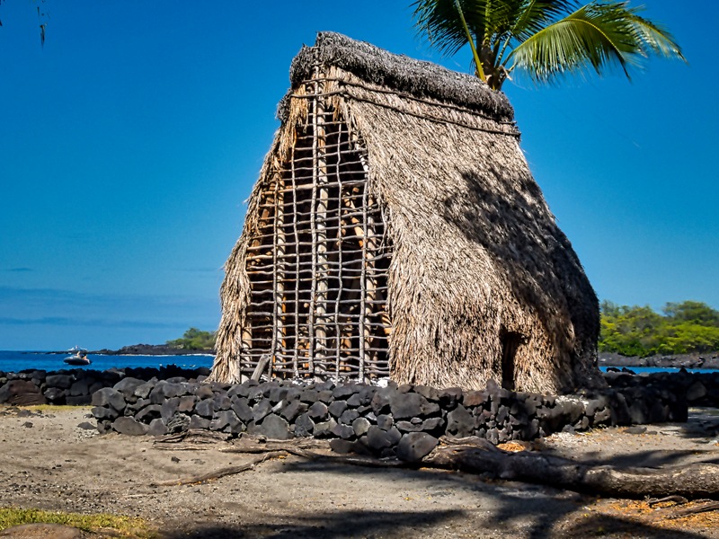
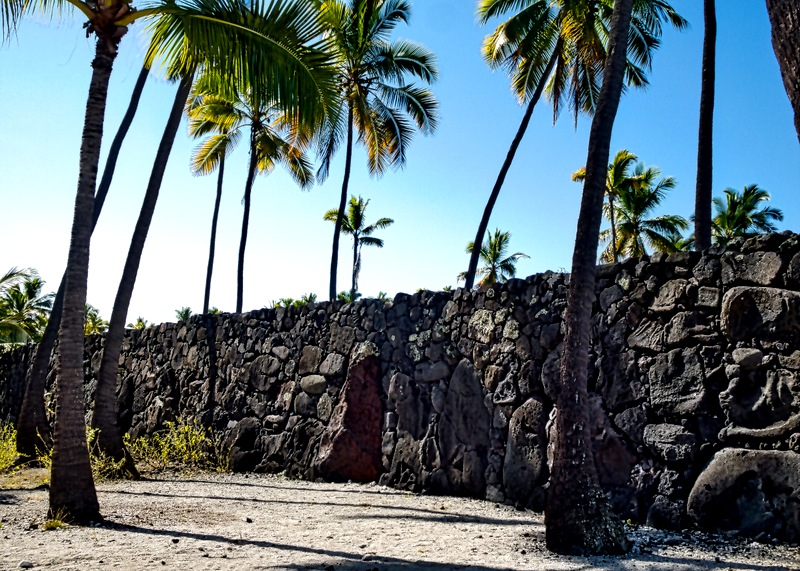
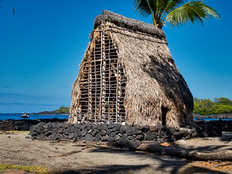
The national park was established in 1955 and in 1960 the heiau was rebuilt on its original site, based presumably upon archeological discoveries and 19th century drawings. Beside the rebuilt heiau are a number of fierce looking wooden carvings representing Hawaiian deities. The lava rock wall that separated the heiau from the royal residence is still there and still imposing (though it has probably been restored to some extent).
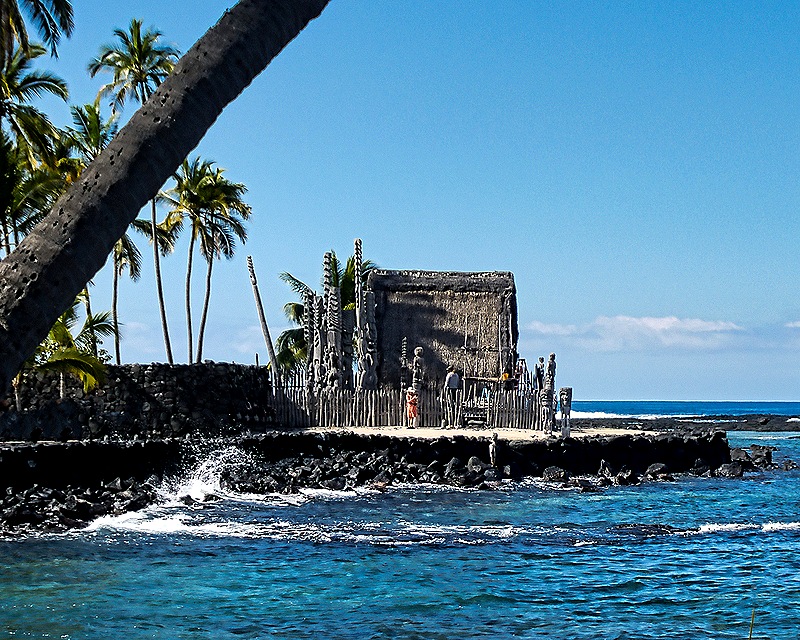
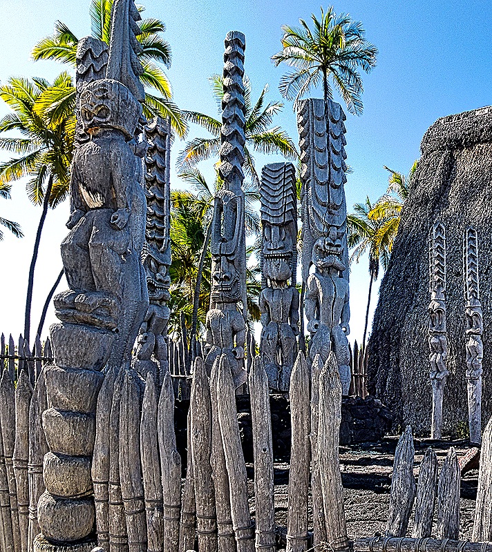
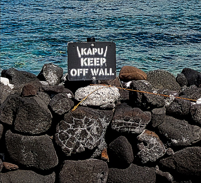
Standing on the rock sea wall in front of the heiau were a couple of carved guardians and there was another further down looking out over the water. Walking on the rocks by the water was kapu!
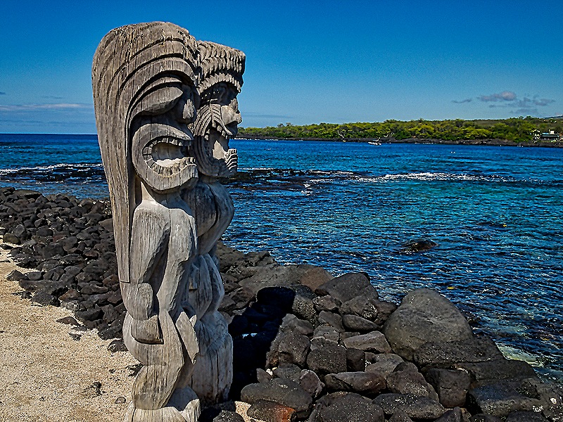
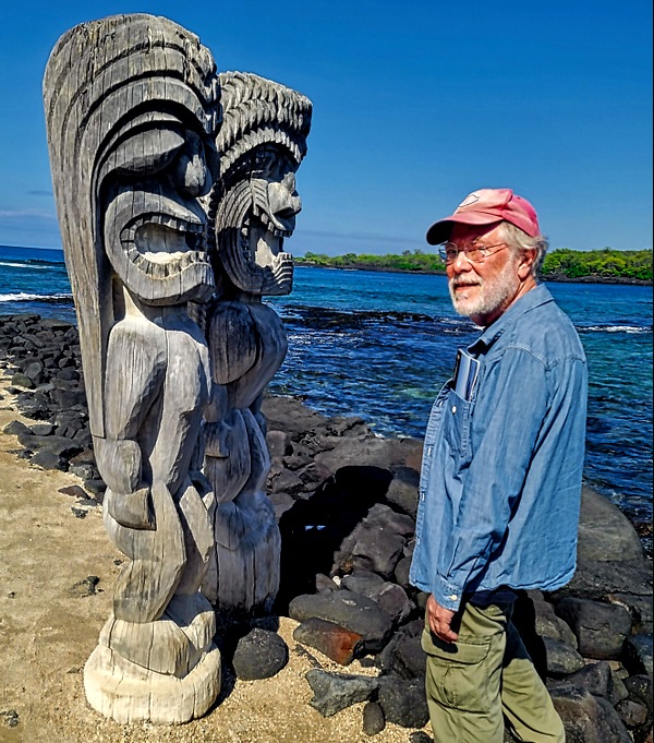
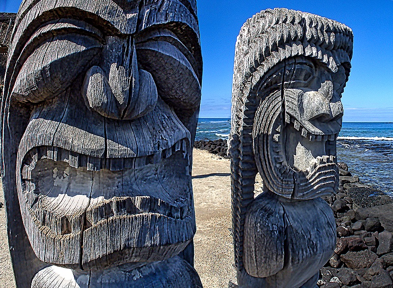
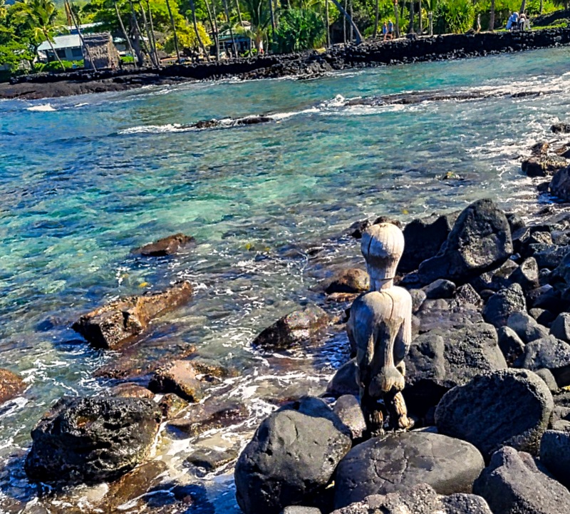
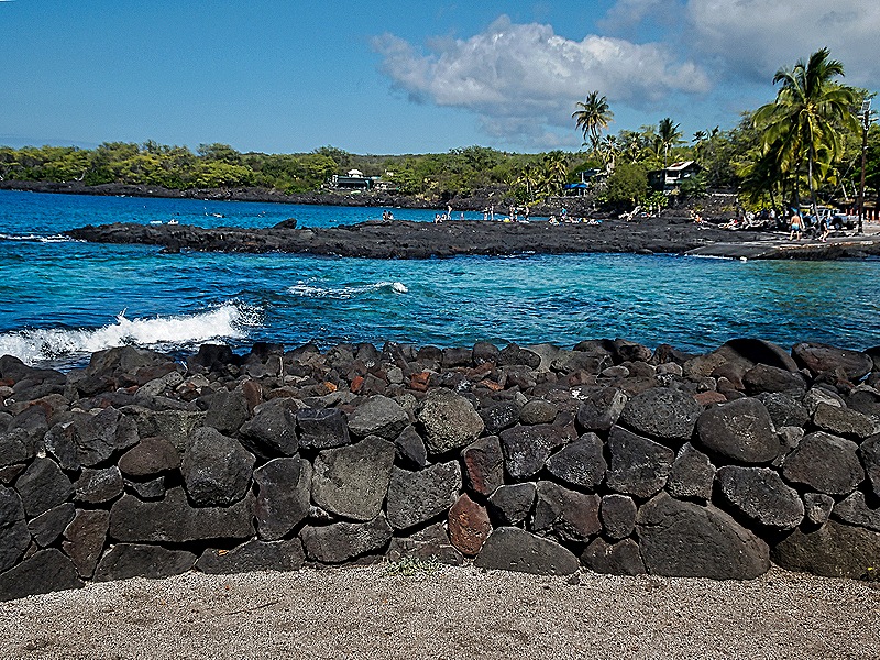
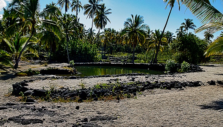
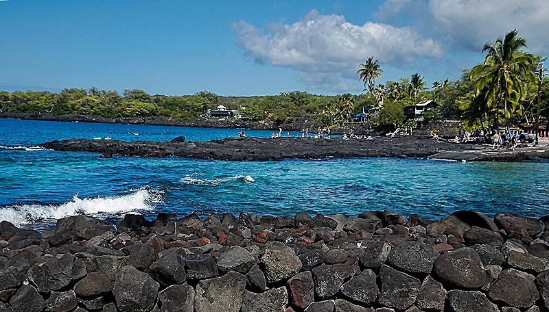
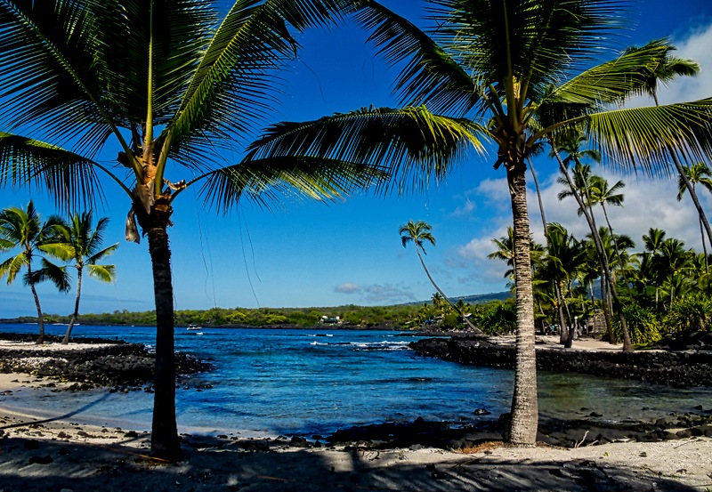
There were a few more reconstructed buildings on the site and also what once were fishing holes surrounded by sand. Across the water was a lava shelf for snorkeling (which is mostly forbidden inside the Park). As we returned to the bus we passed a very picturesque inlet, with which we will end our visit to the Park.
When we left the bus on the tender dock in Kona there was still plenty of time before all aboard. We met up with our friends Donna and Karen and went looking for the Quilt Museum that we had missed last time we were here, located by a quilt shop we had visited. When we got there the quilt shop and museum were gone. Some quick internet research enabled us to find the shop a few blocks away. They had lost their lease and had to move, but they had no space for the museum so we missed that again. It sure went fast, just two years since we were here. Maybe it will reappear before the next time we visit Kona, if that happens (you never know). The four of us had lunch at Quinn’s Almost By The Sea, where we ate last time we were here, and Karen’s brother Roger joined us for another good meal. We tendered back to the ship to rest up for a mountain trip tomorrow.