Fremantle, Australia (Day 2) 2026
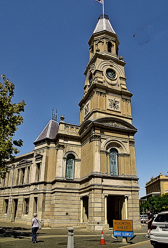
After a pretty intense day of exploring Perth we spent our second day here, February 21, on a fairly relaxed walk around Fremantle. A railroad separates the cruise port from the city but on our last visit in 2018, which you can see here: https://baderjournal.com/2018/07/09/freemantle-australia/ , there was a large metal overpass for pedestrians to cross the tracks. For some reason that is now gone but there was a shuttle bus to downtown. So about 10 AM we boarded the bus with our friends Karen and Donna to ride in to the Town Hall.
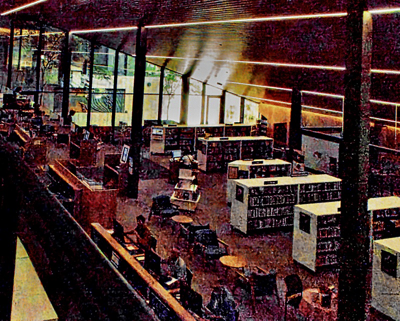
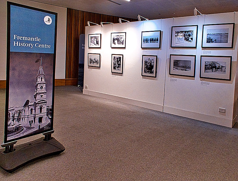
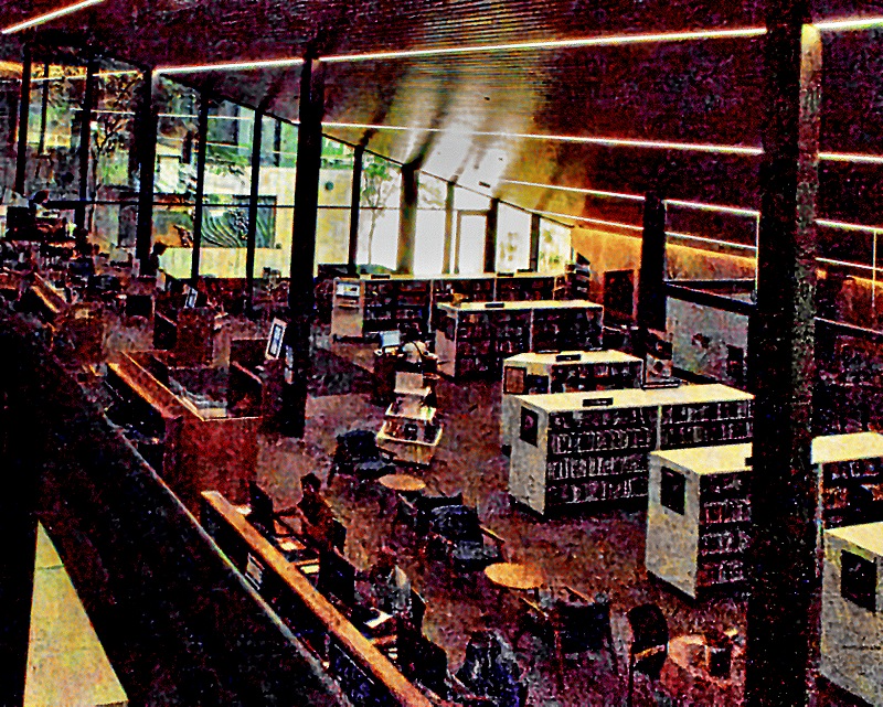
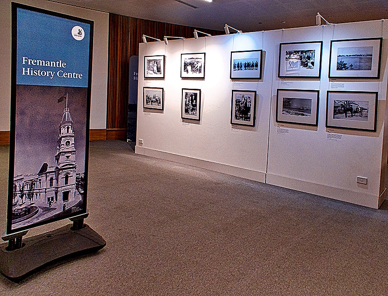
The Fremantle Library is in the Walyalup Civic Center building next door, so of course that is where we headed. The Fremantle History Centre was exhibiting an interesting collection of old photos of Fremantle in the library and we spent some time looking at it.
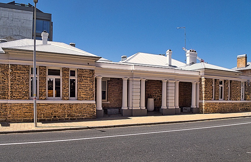
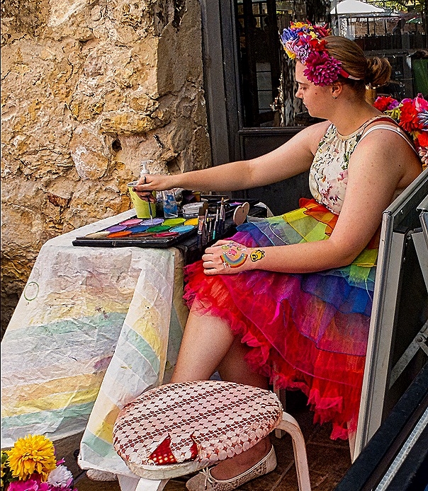
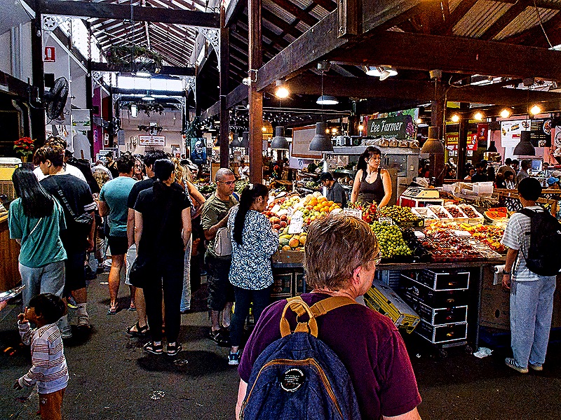
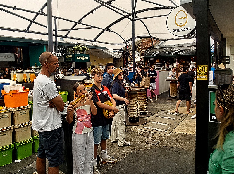
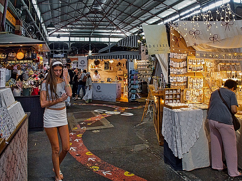
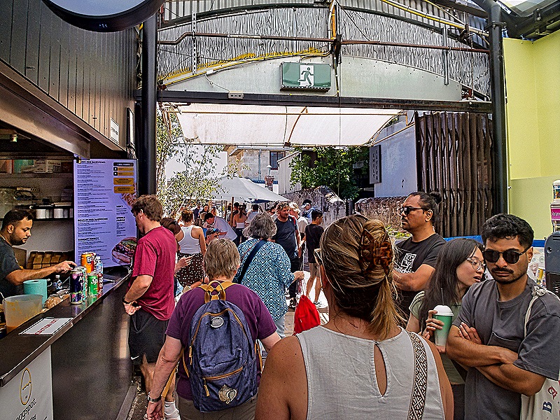
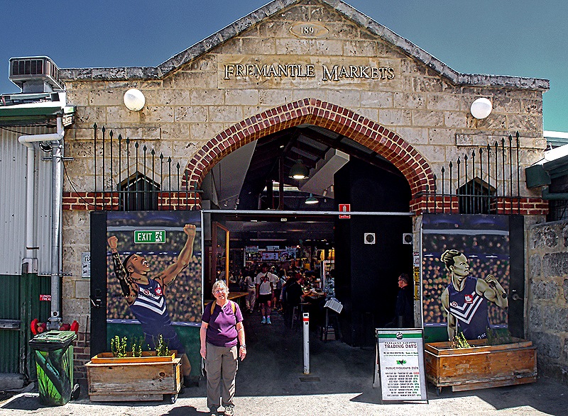
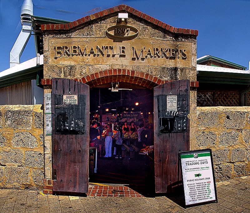
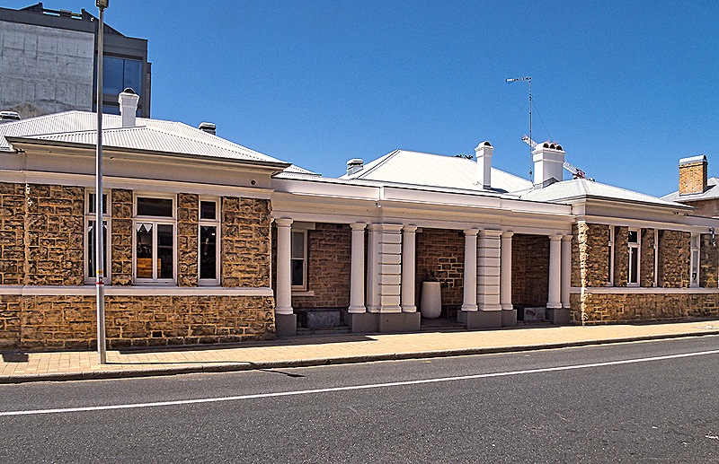
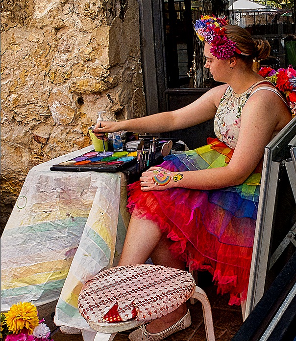
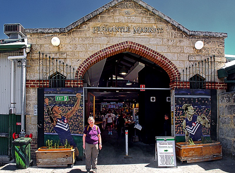
After looking through a few stores for some items Karen and Donna needed we headed to the Fremantle Markets. On the way we passed the Old Courthouse, built by convict labor and opened in 1899. It served as a courthouse from 1899 until 2001, then was renovated and reopened as a bar in 2021. The Fremantle Markets are only open on weekends so when we went there on a Wednesday in 2018 they were closed. This time it was Saturday and the markets were jumping. By the entrance a colorfully dressed woman was painting (pictures, not the building).
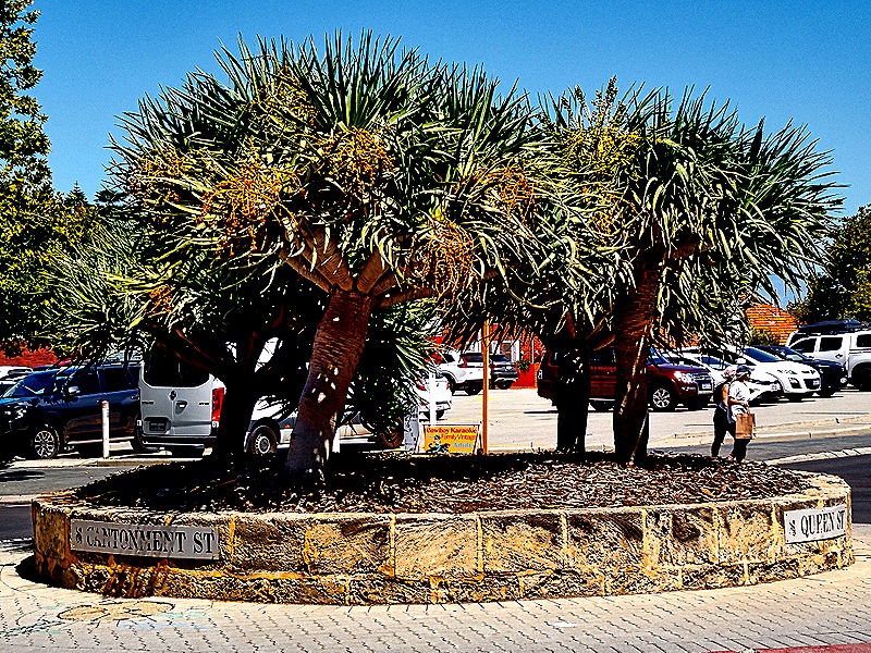
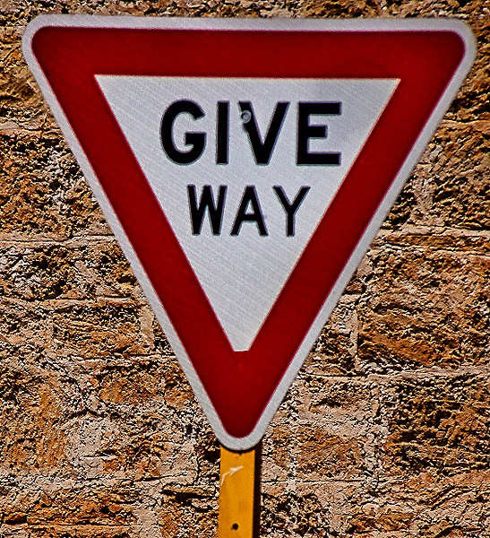
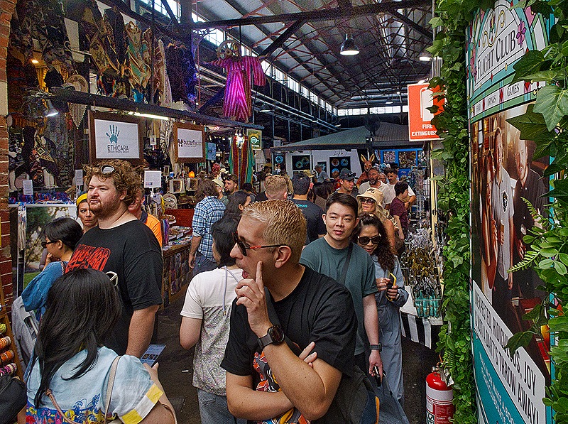
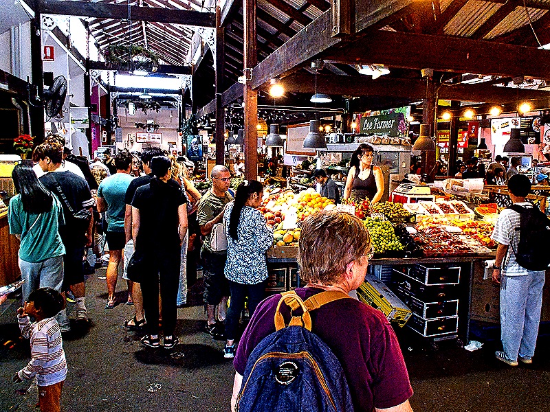
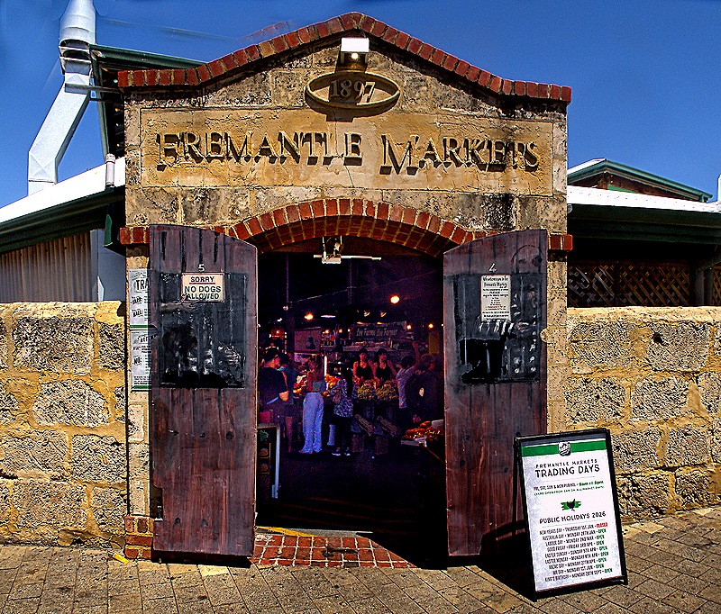
Originally opened in 1902 as a wholesale food market, this building complex served as a packaging and distribution center until the 1970’s. Restored and updated to accommodate retail spaces, the Fremantle Markets opened here in 1975. The space now has some 150 stores and vendors’ stalls selling food, crafts, tourist items, clothes and pretty much everything else you can imagine. On Saturday a lot of folks were there.
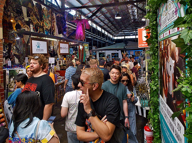
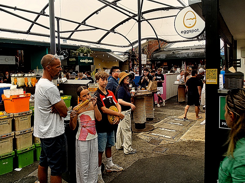
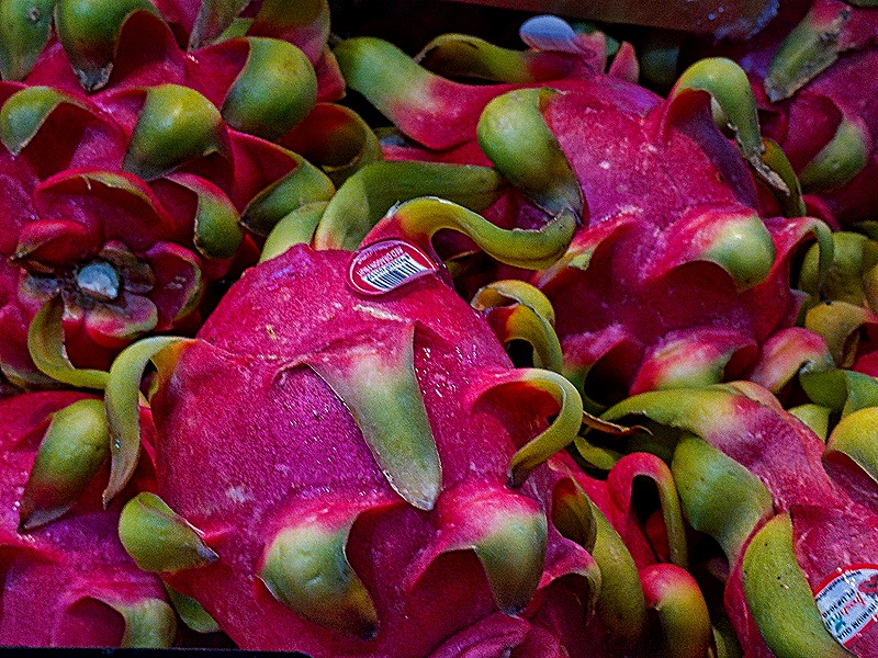
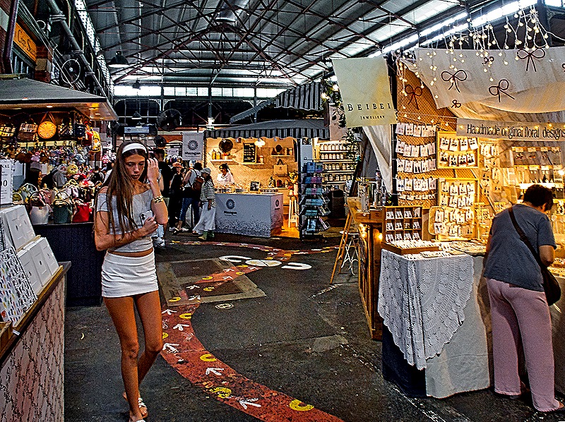
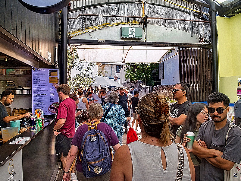
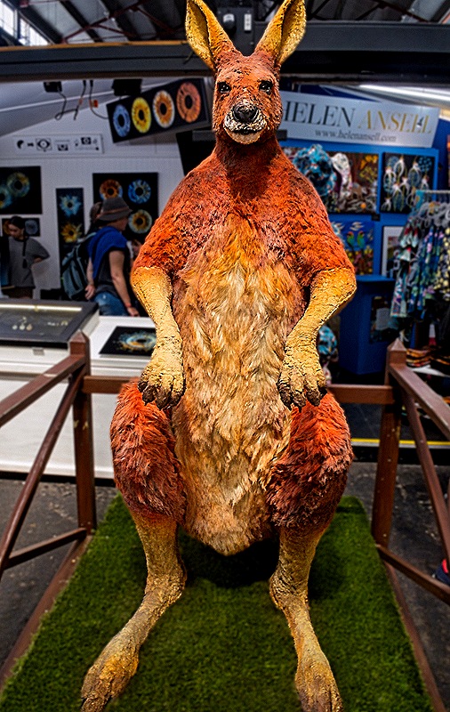
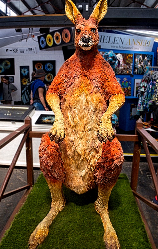
In contrast to the inside, the outside of the Markets was mostly red brick and Victorian style stone entrances, each one a slightly different design. And inside near the front entrance was Big Red, a 6 foot red Kangaroo. We had a very good time at the markets. The only disappointment was Mary’s inability to find a baseball cap that said Fremantle. All they seemed to have were Perth hats. We thought that indicated a certain lack of local pride, of which we had seen no other sign. But now we know that Fremantle is actually considered one of the 30 areas that make up Perth, so that must explain it.
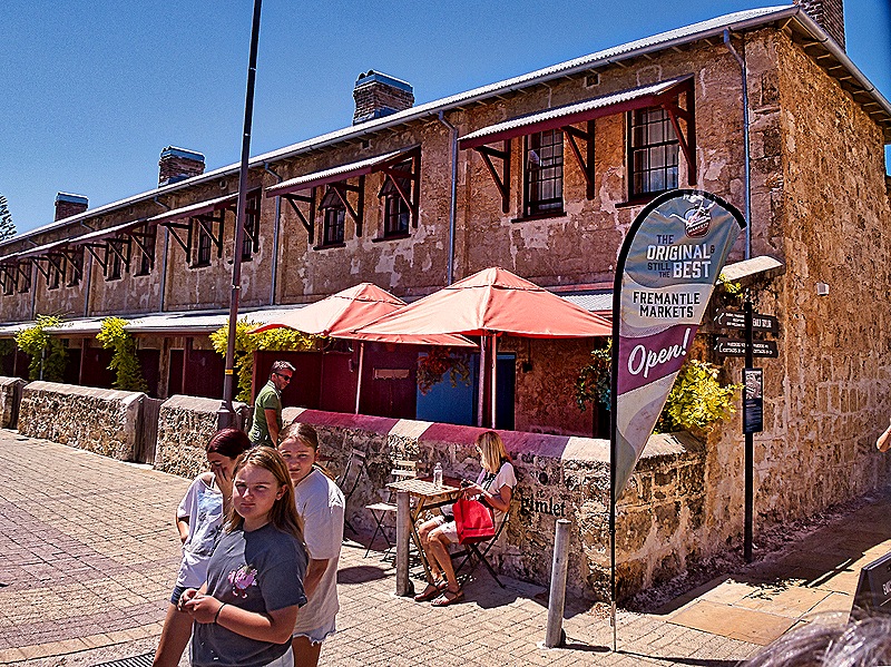
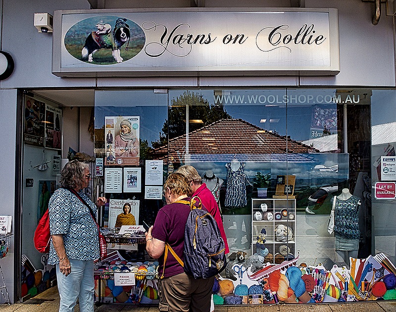
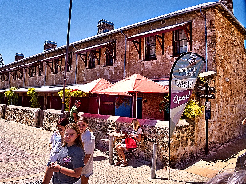
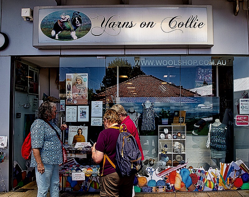
Most of our group (ie. all three other than Rick) wanted to visit a yarn shop so we set out to find one after we left the markets. We walked past the Warders Cottages, small rowhouses built in 1851 to house the Warders (we think this means guards) at the Fremantle Prison, which we toured on our first visit to Fremantle. The prison was built in the 1850’s as well after Britain decided to transport convicts to Western Australia (they had previously been in the eastern part of the country). These cottages were used for prison staff until 1991 when the prison closed. Today they are part of a hotel. After this we did find a nice yarn shop called Yarns on Collie (it’s on Collie street). The shop was nice and the lady running it was very helpful. Everybody but Rick found something to buy!
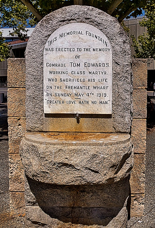
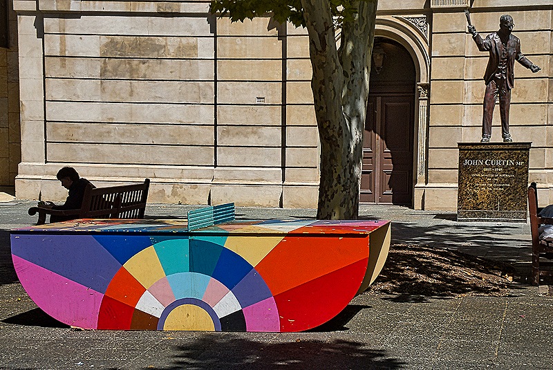
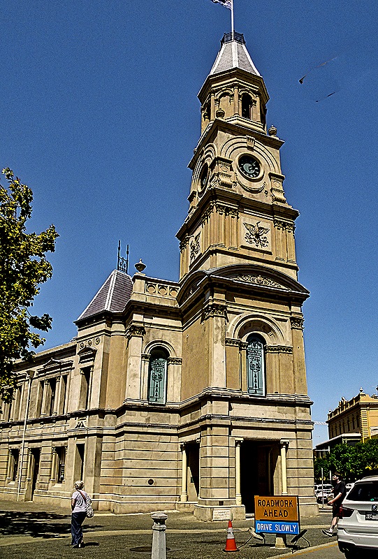
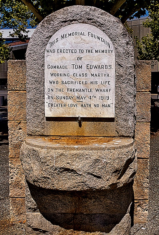
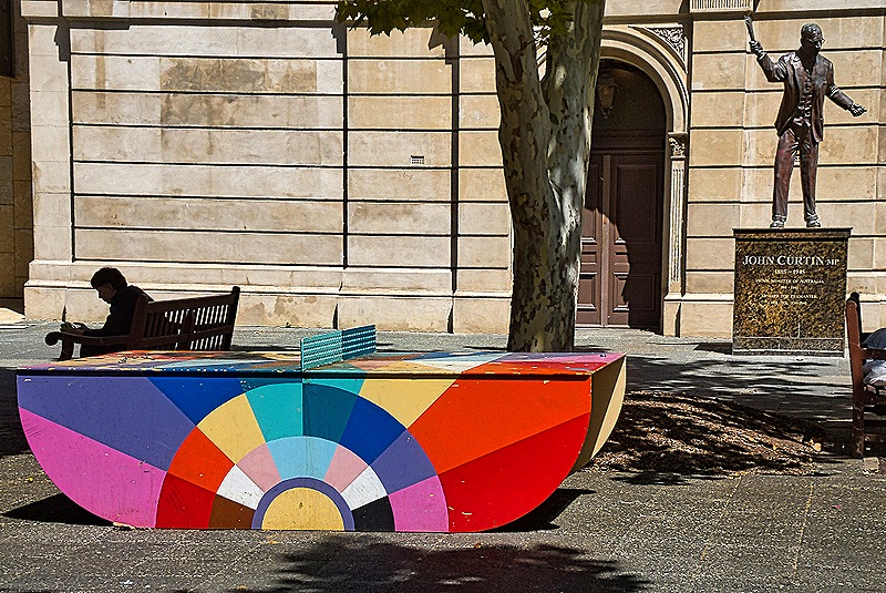
After the yarn shop it was time to eat, so we stopped into a restaurant nearby called The Rustic Spoon (not the rusty spoon!) for some fish & chips. The large dining room was mostly empty, so you had to wonder, but the food turned out to be really excellent and made to order from scratch. And what do you need after a good meal in Australia? That’s right . . . gelato. Swan River Gelato was conveniently located next door to the restaurant and their gelato also was made from scratch. So of course it was really good. Feeling quite satiated, we walked back to the town hall to meet the shuttle back to the ship. The area on the side of the town hall where we met the bus was sort of a small paved park. Among other things there, we saw a statue of John Curtin, who was Prime Minister of Australia throughout most of World War II. There was also a memorial fountain built in memory of “Comrade Tom Edwards, Working Class Martyr,” who was killed in 1919 on the Fremantle wharf during what we assume was a strike. And finally there was a very colorful ping pong table with rounded sides instead of legs that upstaged everything else. After a while the bus came and we drove through the streets of Fremantle one more time to reboard the ship, after two very enjoyable shore days.
Fremantle, Australia (Day 1–Perth) 2026
We arrived in Fremantle on February 20 for an overnight stay. Since we had two days we decided to spend the first on an excursion to Perth, a huge city only about 10 miles from Fremantle. Our bus left around 9:00 AM.
While Fremantle is where the area’s cruise port is located, Perth is the capital of Western Australia. It is considered the fourth largest city in Australia with a population of around 2.5 million, although that gets a little confusing because Fremantle is one of many other localities included in this “greater Perth” calculation even though it is also a city with its own government and history. Still, central Perth actually looks like a very big city, unlike Fremantle.
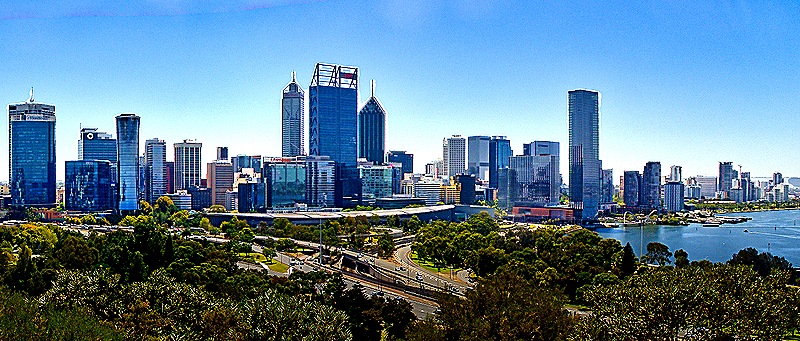
Aboriginal people have lived here for about 48,000 years and the first European settlers arrived in 1829. Perth was elevated to city status in 1856. Perth has often experienced strained relations with the indigenous Noongar people, who were banned as recently as the 1950’s from entering large portions of the city. Much of Perth’s growth stemmed from mining and drilling activities in Western Australia over the years. Since the end of World War II Perth has grown from less than 300,000 to its current 2.5 million.
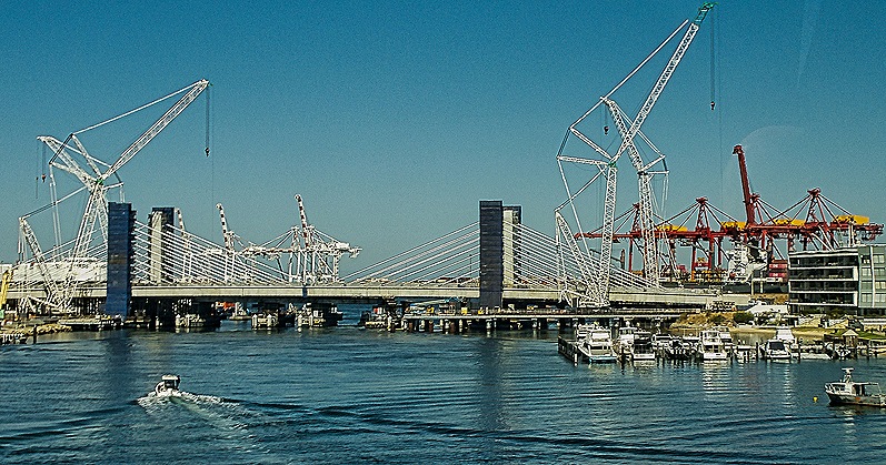
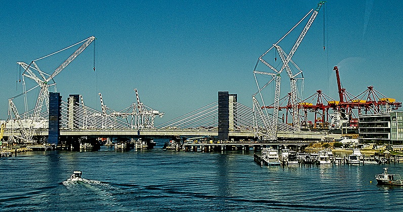
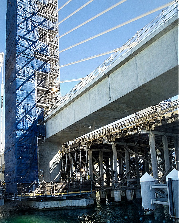
Our bus began with a drive through some streets in Fremantle, totally worthless to us because you couldn’t see much from the bus windows on Fremantle’s narrow streets and we had another whole day to explore Fremantle on foot. We crossed the Swan River, which connects central Perth with Fremantle, on the Stirling Bridge (we think). This is a detour from the usual crossing, the Fremantle Traffic Bridge, which was closed for renovation. We had a nice view of the renovation area from the bus as we crossed.
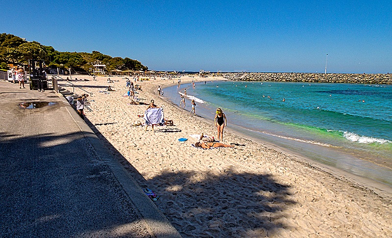
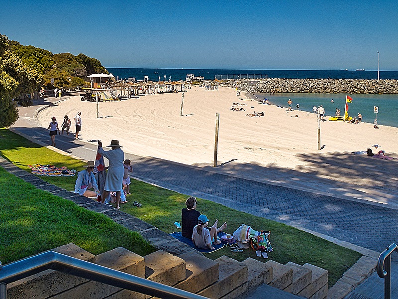
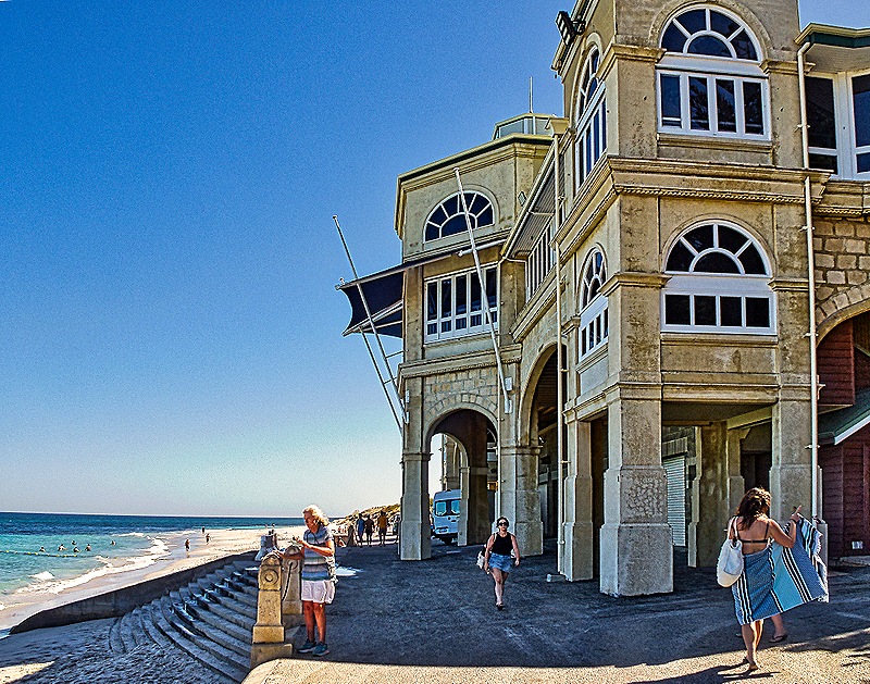
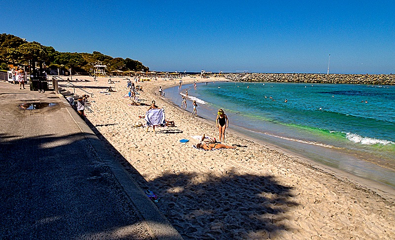
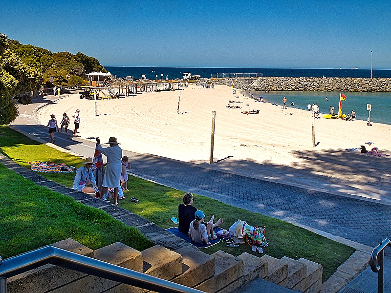
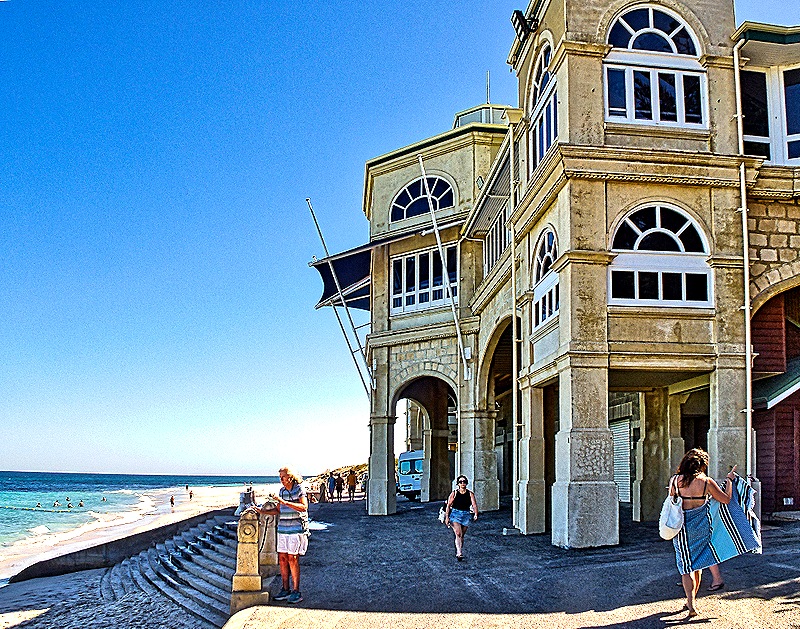
We stopped for about half an hour at Cottesloe Beach, almost a mile long and one of the most popular public swimming areas in Western Australia since the 1880’s. It is the home of the annual 12+ mile swim to Rottnest Island, an annual event since 1991 (although the first documented swim was in 1956). In recent years it has grown to more than 2,000 swimmers each year, making it one of the world’s largest ocean swimming events. This year’s race was supposed to be held the day after we visited but was cancelled because of weather, only the third cancellation in its 35 year history (although 2 of those three were in the last 3 years). A rather substantial building on the beach houses restrooms, changing rooms, and a tea garden in a central courtyard. It opened in 1996 but its earliest predecessor dated to 1910.
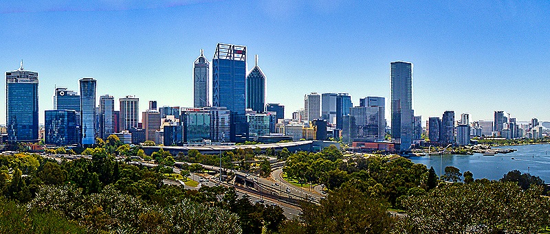
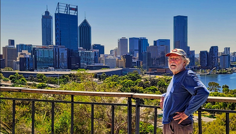
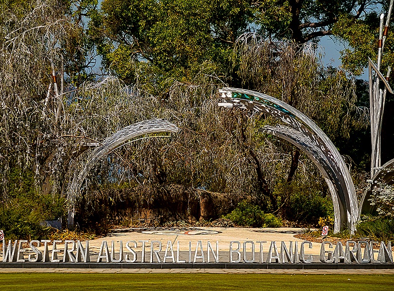
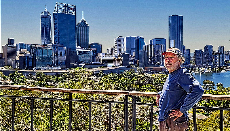
Our next stop was King’s Park where we spent about an hour. This is a huge (almost 1,000 acres) public park containing war memorials, a botanical garden and a large preserve of native bushland. It is the most popular attraction in Western Australia with some 5 million visitors per year. The park has a spectacular view over part of the Swan River and Perth’s central business district. There is a special law protecting it from developers, many of whom would love to get their hands on some of it.
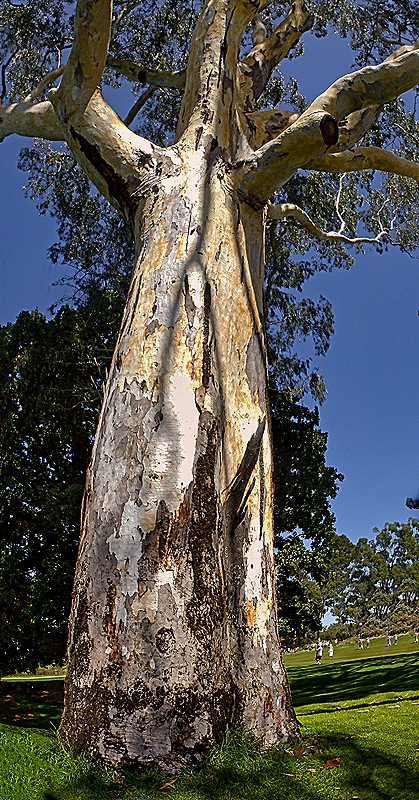
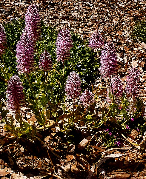
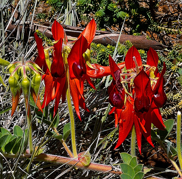
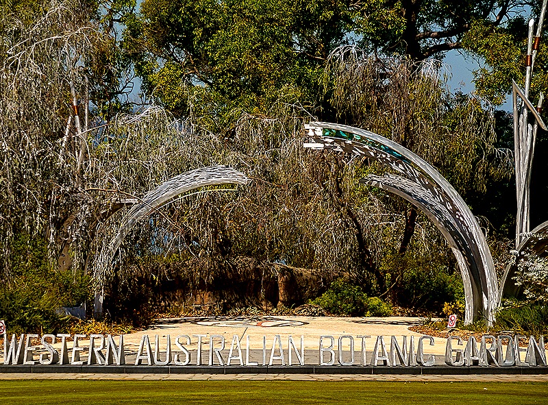
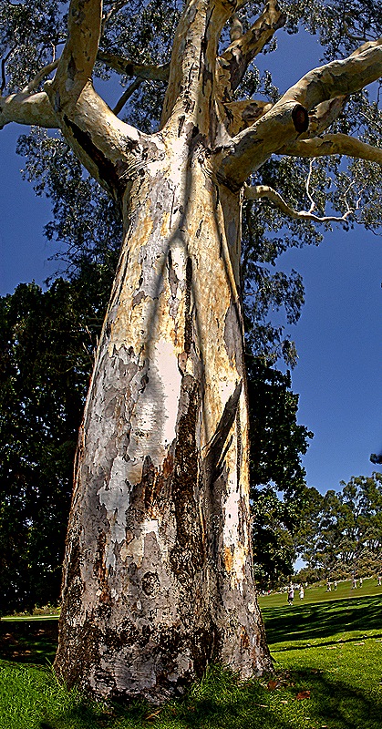
We did not have time to explore much of the botanic garden and were told that blooms would be somewhat sparse this time of year, but we did see some. Throughout the park were large and majestic trees, many Eucalyptus.
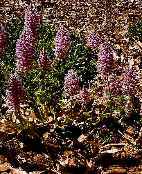
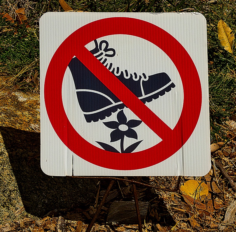
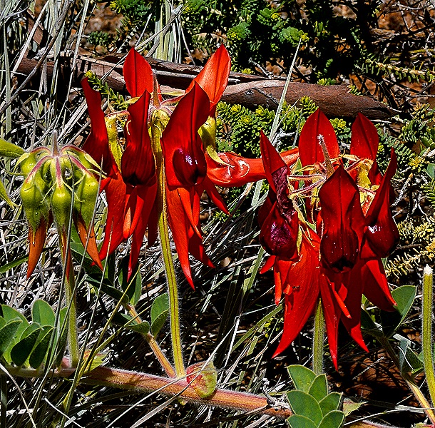
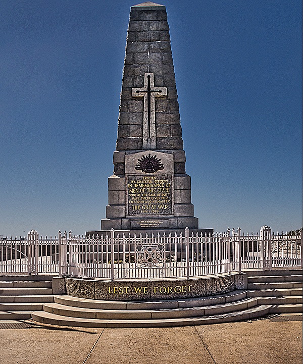
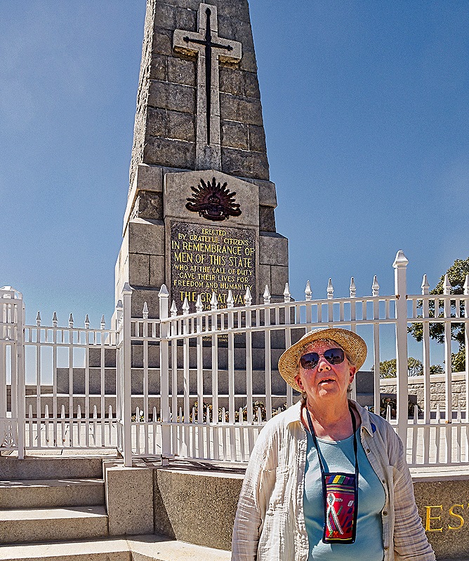
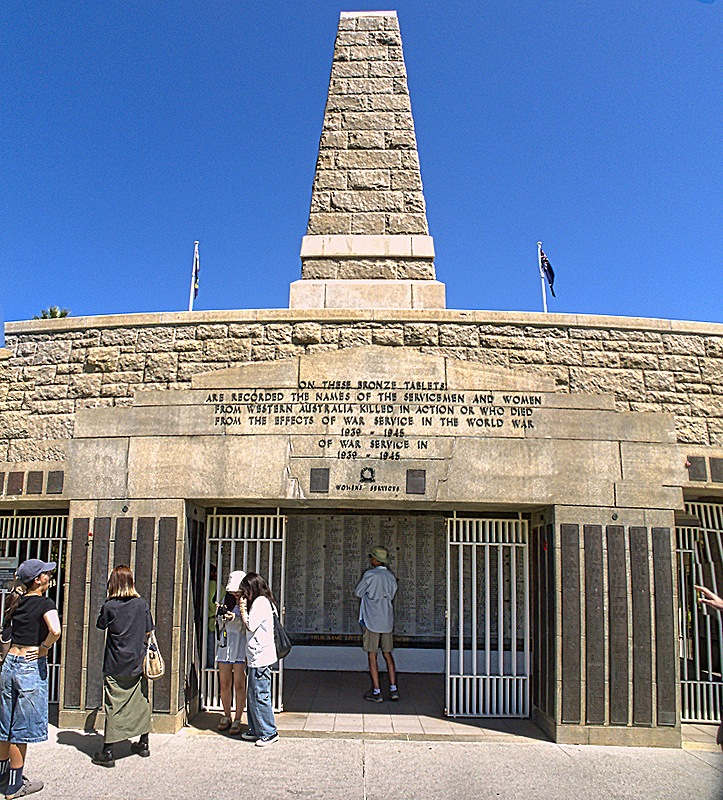
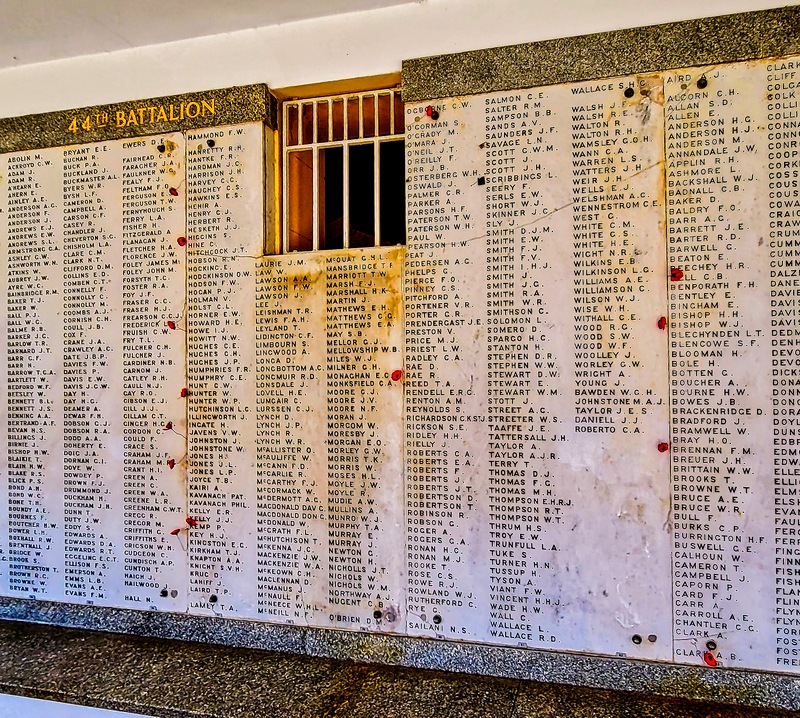
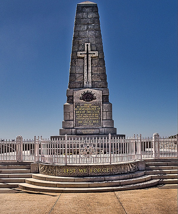
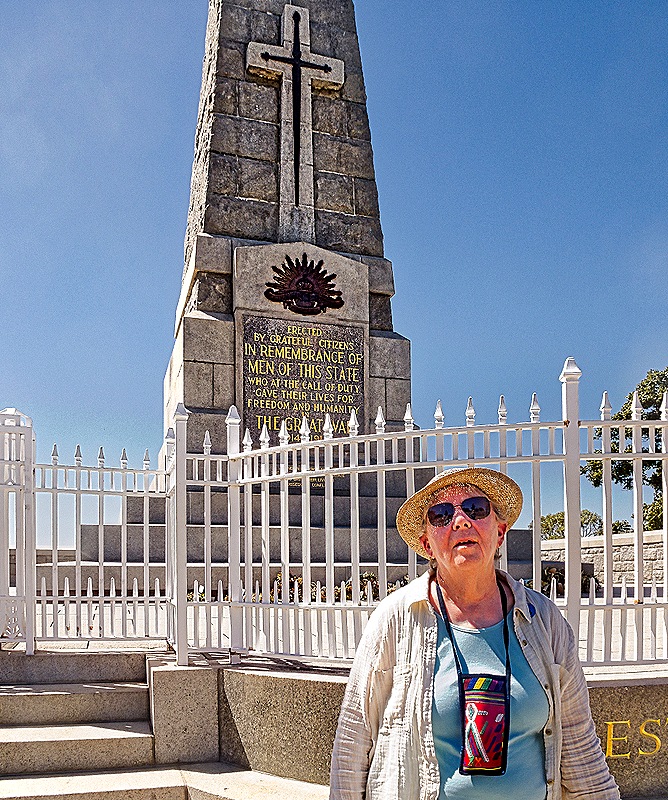
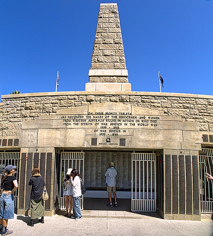
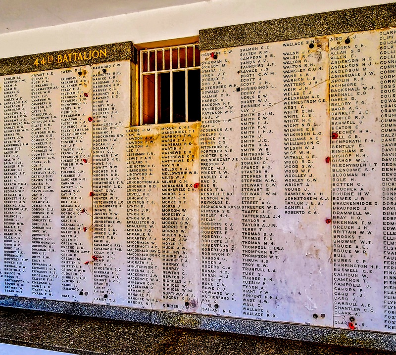
The State War Memorial sits on the edge of the park overlooking the water and the city of Perth. Unveiled in 1929, it consists of a “cenotaph,” an almost 60 foot tall obelisk, which is on top of a crypt below ground with the names of thousands of Australian service members killed during World War I, with many more added later who served in more recent wars. On ANZAC Day, April 25 every year, there is a memorial gathering here to commemorate Western Australians who died in war (April 25 is the date of the first Australian and New Zealand landings at Gallipoli during World War I).
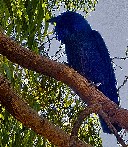
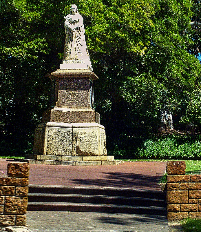
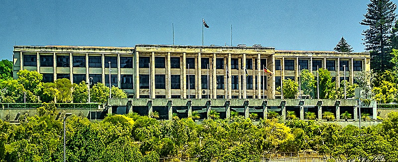
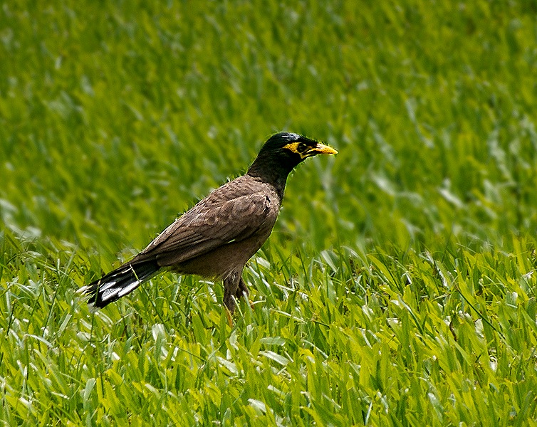
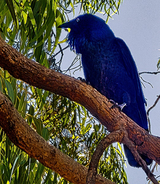
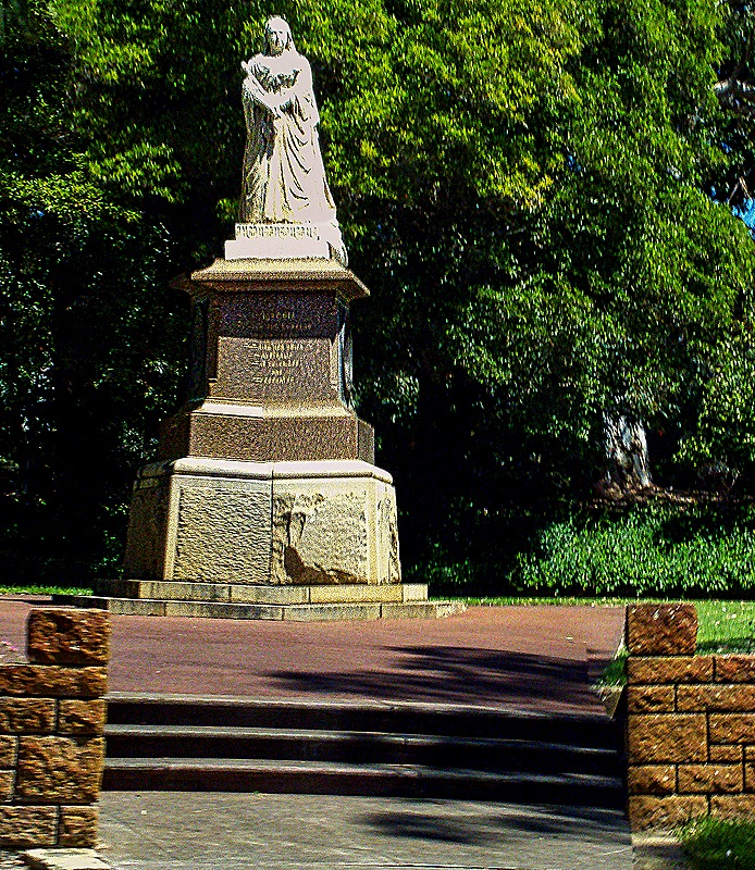
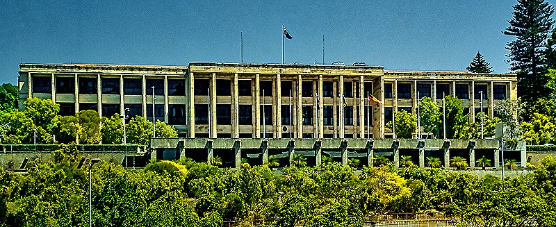
There was a combination information center and gift shop building that was really very good. The information people were very anxious to answer questions and impart information about the park and the botanic gardens and the gift shop was full of original artwork in addition to tourist mementoes. Outside was a large bluish black bird we haven’t identified sitting in a tree and making quite a racket . . . probably doesn’t like having all these people in his park. On our way out of the park we passed a very nice 16 foot marble statue of Queen Victoria that has been there since 1903. Then on the way into central Perth we passed the Western Australia parliament building on the side of a hill with a long view toward town. It opened in 1904.
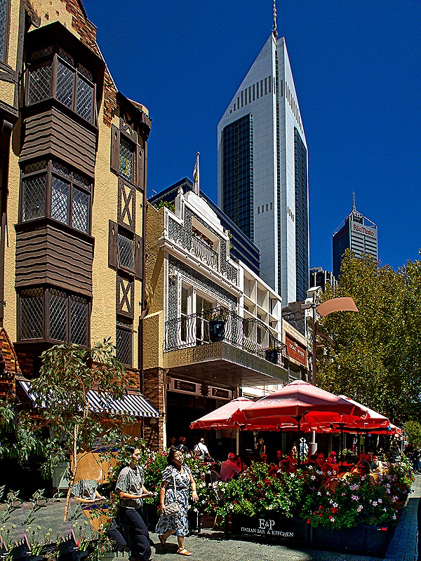
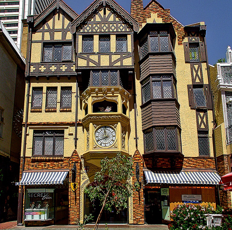
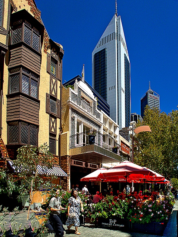
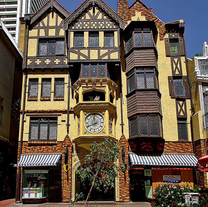
We left the bus near the State Buildings on St George’s Terrace in the historic area of central Perth for 2 hours of free time. Our guide offered to lead interested passengers on a walk to the art museum and we joined up. We walked through an enclosed mall inside the London Court building to the Hay Street mall (a pedestrian only street). London Court, with its distinctive Tudor style facade complete with mechanical knights that emerge when the large clock below chimes, was opened in 1937. The enclosed portion was like a long tunnel lined on both sides by small shops and restaurants. The Hay Street mall was lined with shops and restaurants with outdoor tables under umbrellas. Altogether very nice.
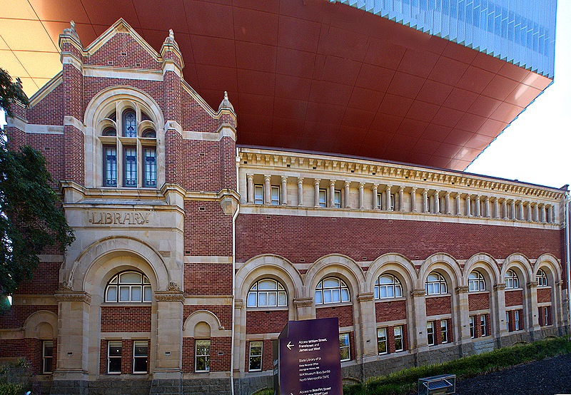
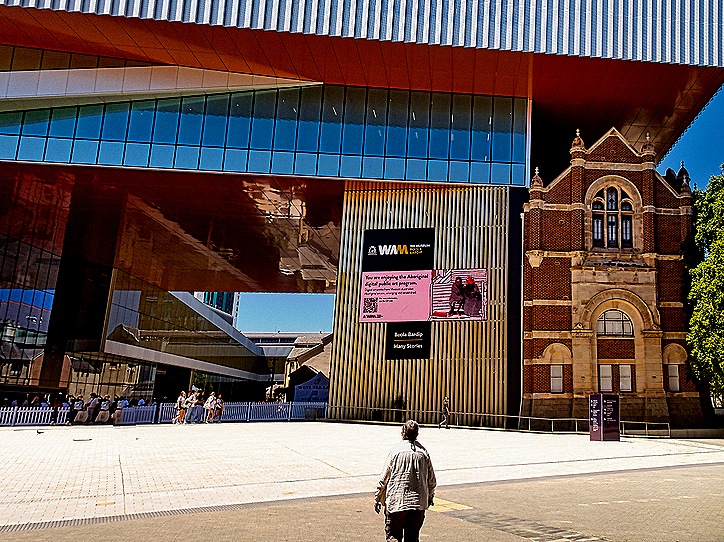
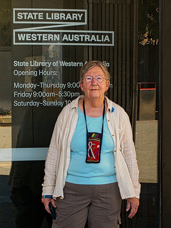
Leaving our guide when we reached the art museum we decided we didn’t have enough time to tour museums (with hefty admissions) so we walked over to the nearby State Library of Western Australia. We walked past the 1913 vintage Hackett Hall, which used to house the State Library but is now part of the Museum of Western Australia. In an unusual architectural design, the museum’s new modern building was erected next to, but also extending over the roof of, Hackett Hall, which is now home to a blue whale skeleton named Otto.
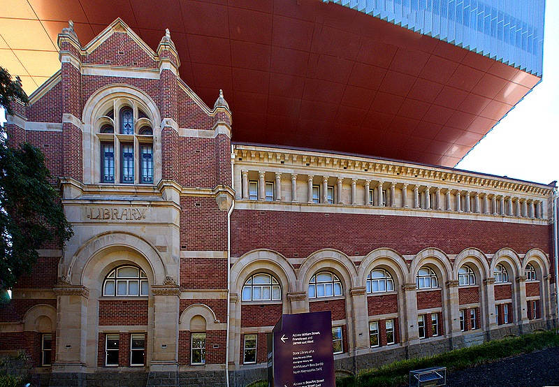
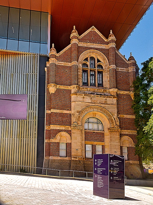
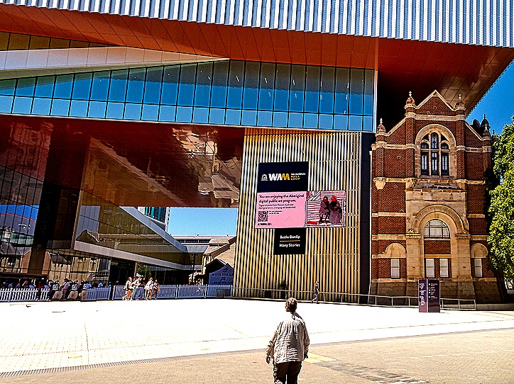
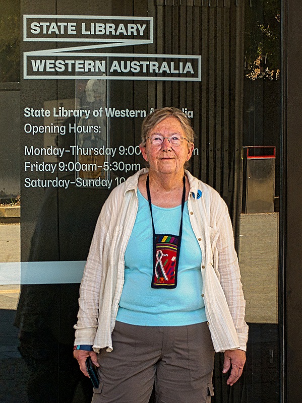
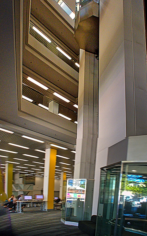
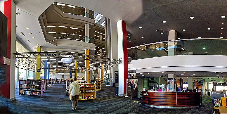
The Alexander Library Building houses the State Library of Western Australia along with the State Records Office and a collection of historical documents.
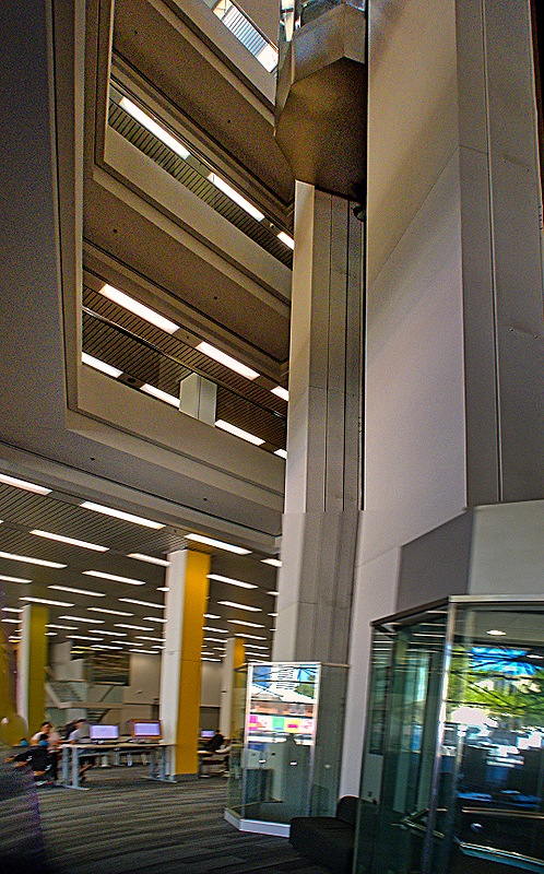
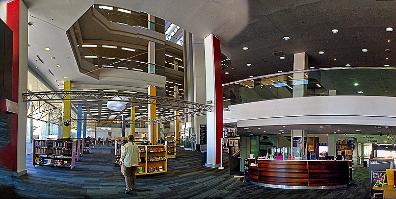
Although its roots date to 1879, the State Library has been in this building since it opened in 1985. In addition to functioning as a research and lending library with more than 300,000 books, the State Library operates a unified purchasing and exchange program and a centralized online catalogue for the other libraries throughout Western Australia. The Library’s space within this building is soaring and impressive.
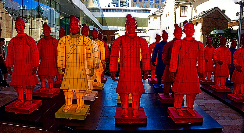
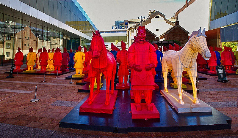
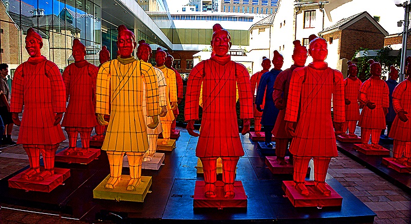
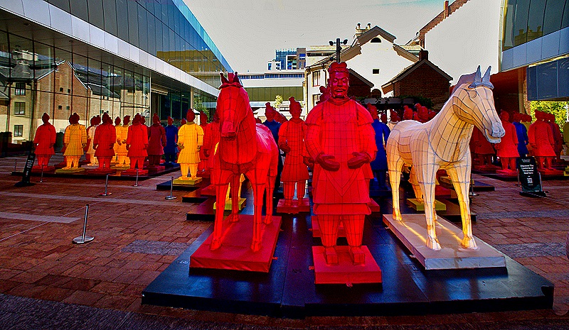
The museum was hosting an exhibit of the Terracotta Warriors from Xian, China. We didn’t see that (didn’t enter the museum), but outside in a large courtyard was an interesting installation called “The Lanterns of Terracotta Warriors.”
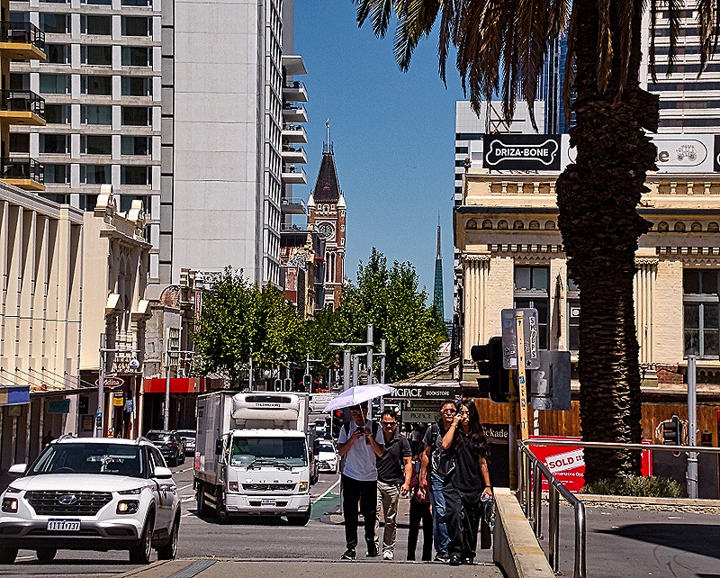
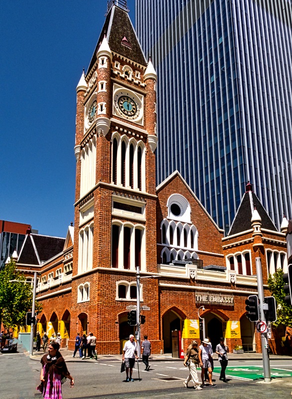
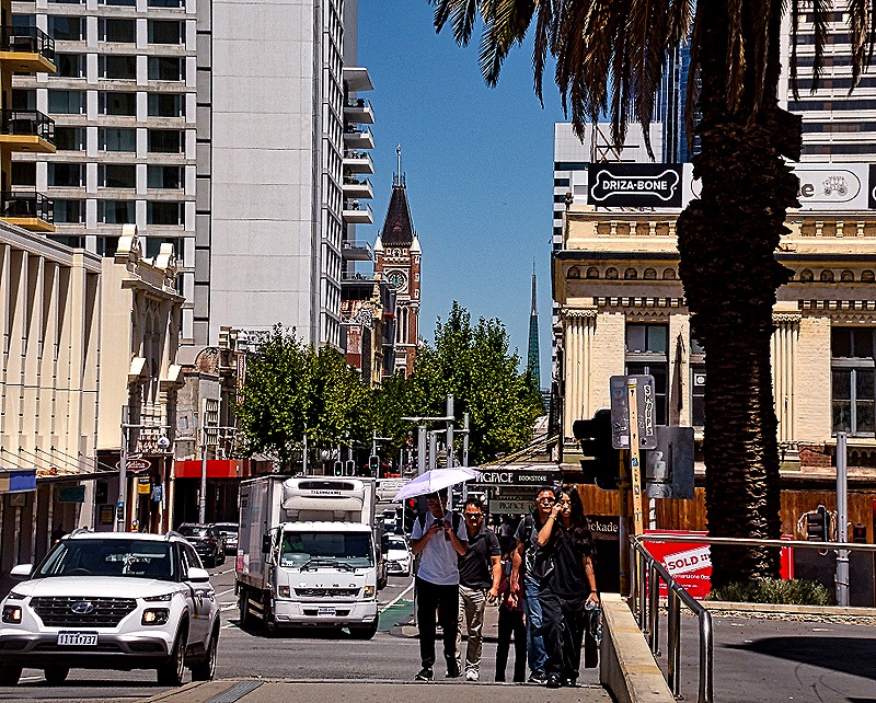
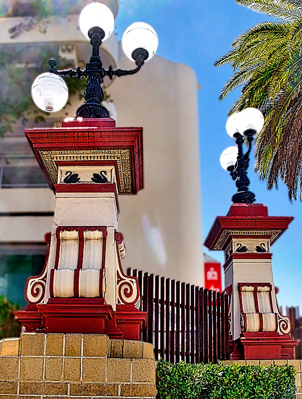
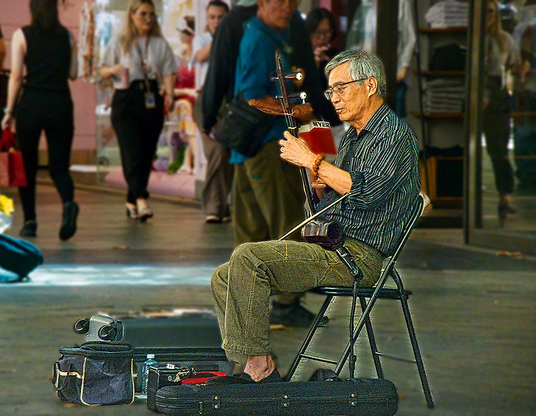
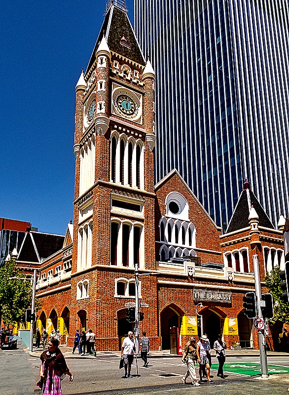
We decided it was time to head back in the direction of our meeting place on St George’s Terrace, with a couple of other places on the way we wanted to see. Australians not only drive on the left, they walk on the left too and we found it sometimes difficult to remember to do that. This walk had a nice mixture of new and old architecture, but the highlight was a walk through a pedestrian mall where we stopped at Swan River Gelato for some pistachio, tiramisu and panna cotta gelato. One fellow in the mall was playing an interesting string instrument. Perth’s Town Hall opened in 1870, the only town hall built using convict labor and the tallest building in Perth when it opened. During the 20th century the first floor accumulated many commercial entities but it was restored in the 1990’s. We walked into the front part of the building but didn’t have time to find out whether we could go further.The clock in the tower was imported from England in 1870 and is reached by a system of spiral staircases and ladders.
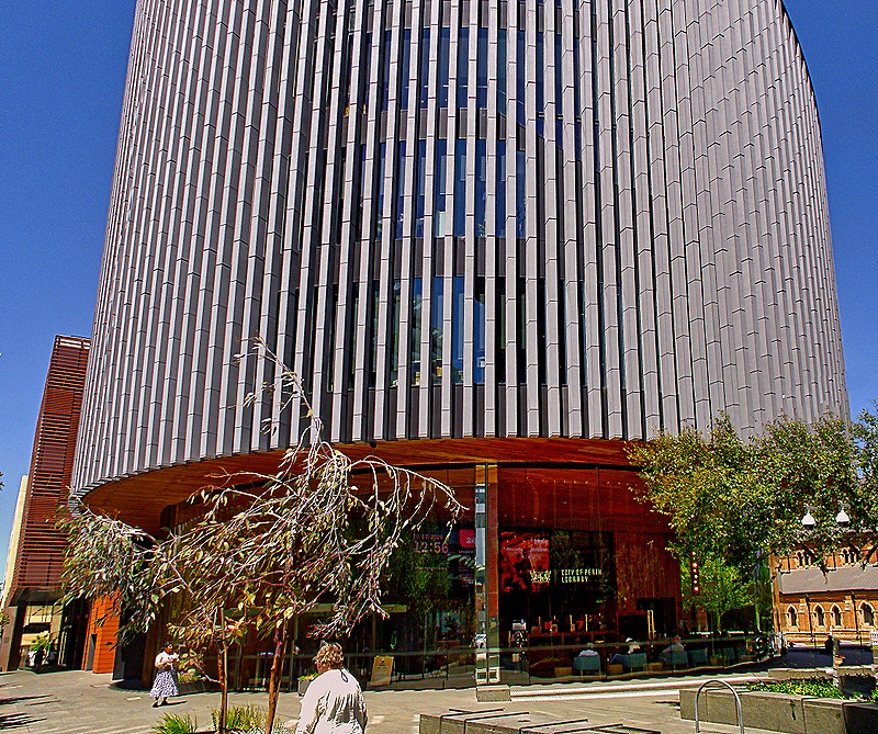
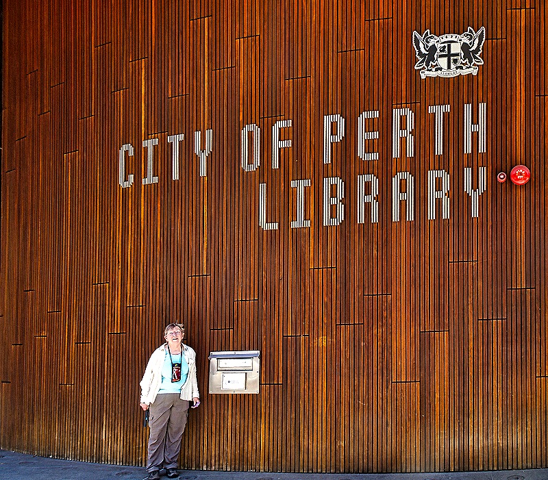
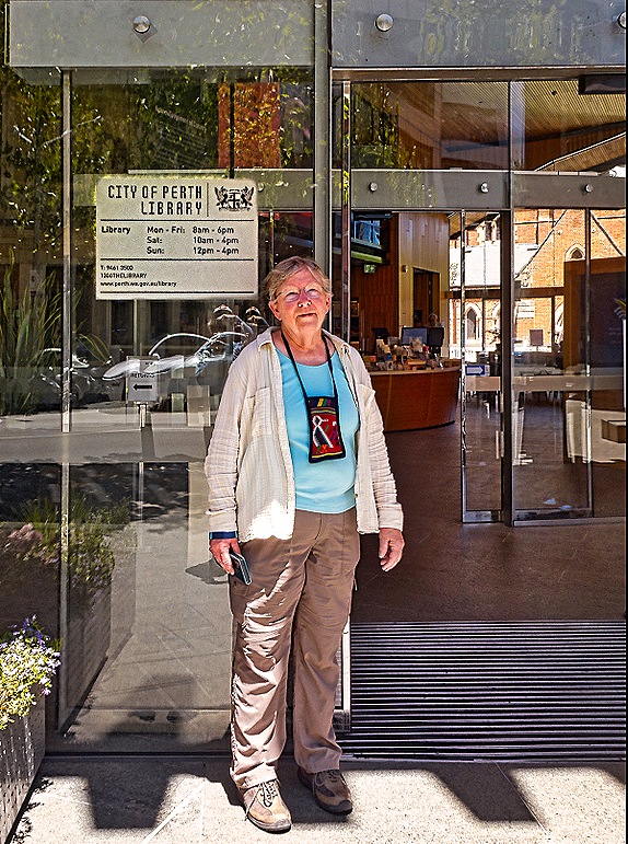
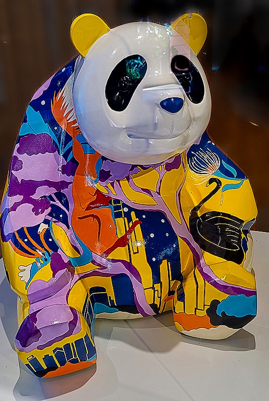
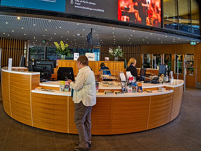
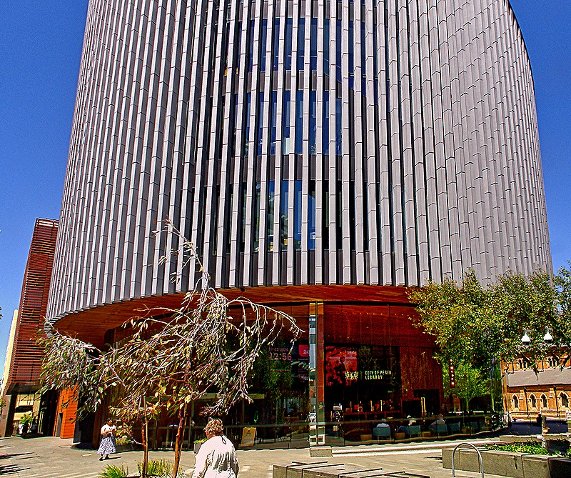
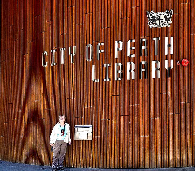
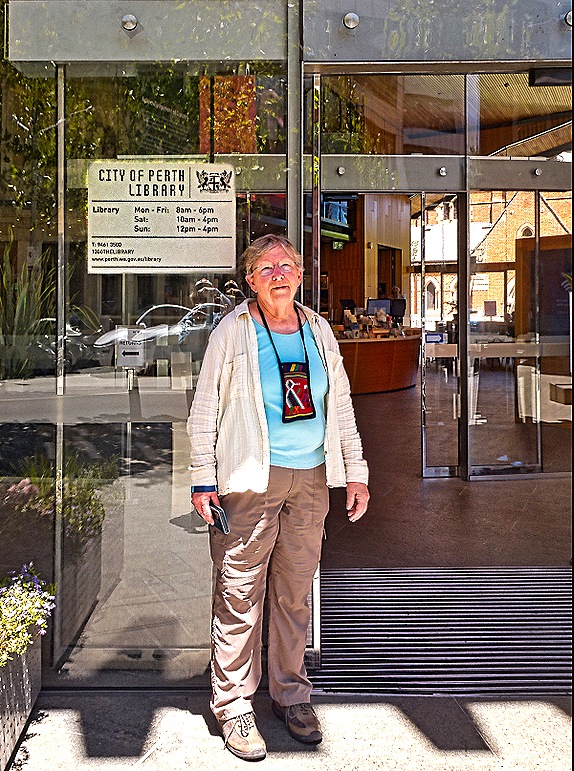
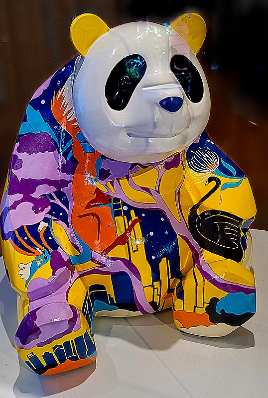
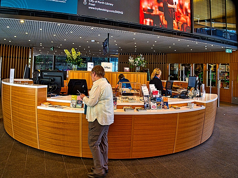
Next we stopped into the City of Perth Library near the Town Hall. The library can trace its roots to 1851 but its current building opened in 2016. It is a thoroughly modern circular building seven stories tall. We thought it was quite nice. This library operates separately from the State Library we visited earlier. A glass case in the library held a colorful panda presented to Perth in 2022 by Chengdu, China on the 10th anniversary of their becoming sister cities.
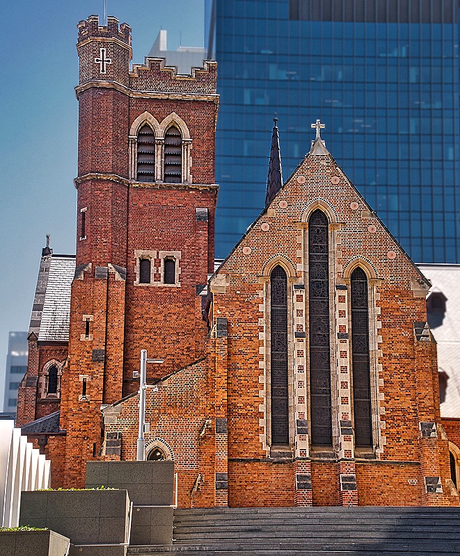
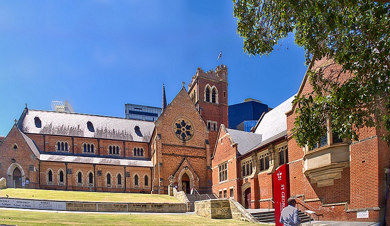
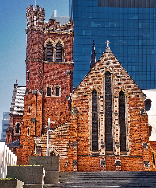
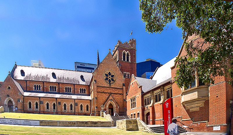
We walked down a block to meet the bus at the same place we had been dropped off. On a small hill behind us was St George’s Cathedral. Dedicated in 1888 this is the principal Anglican church in Perth.
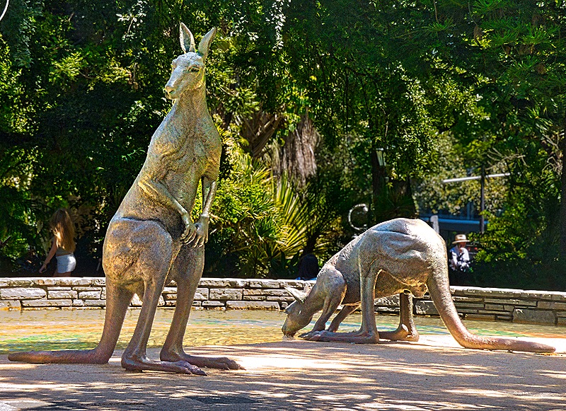
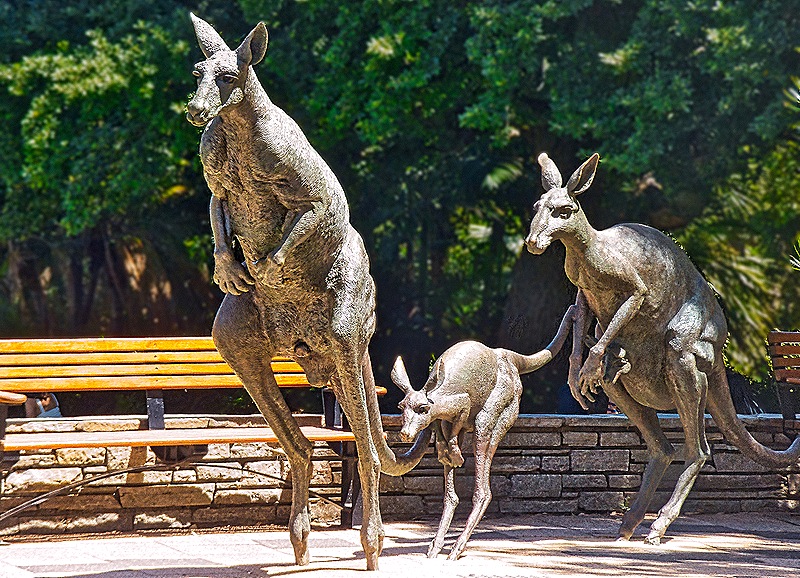
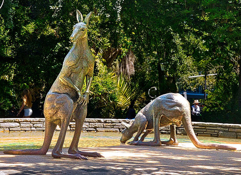
Looking across the street it appeared at first like a family of kangaroos had gotten loose in the city. But no, they didn’t move and it turned out they were made of bronze and somewhat larger than life size. These were three of the five sculptures that together are called “Kangaroos in the City” installed in 1998 on the edge of Stirling Gardens. The other two were a little further back, one kangaroo alert and the other drinking.
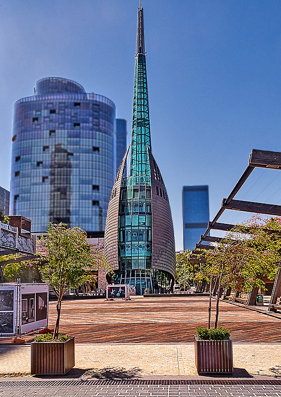
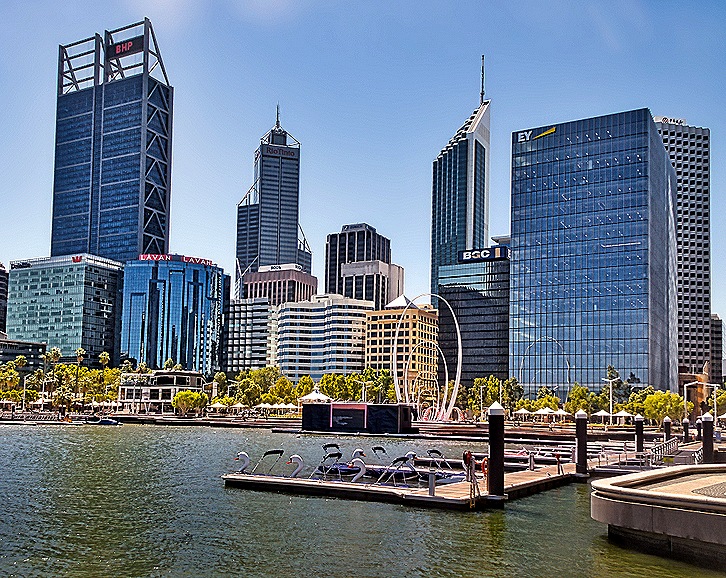
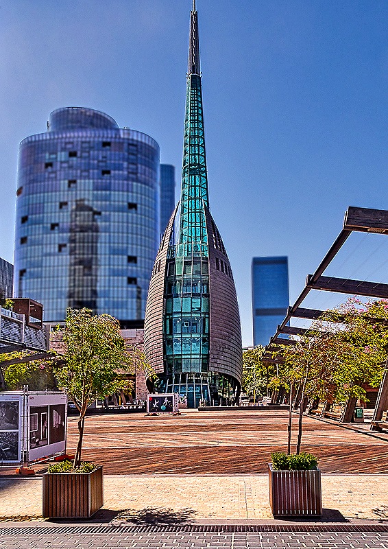
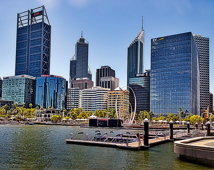
We were scheduled to return to Fremantle on a boat trip down the Swan River, so we were taken to the dock not far away. We walked together through Barracks Square and Elizabeth Quay to get there. There has been a boat jetty for river traffic here since 1845 but Barrack Square was not laid out until 1907. In 2000 the Swan Bells tower was built on the land side of the square to celebrate the millennium. It is a very tall, narrow and pointed structure made of glass, lighted from the inside at night. Twelve of the 18 bells inside are from the church of St Martin-in-the-Fields in London and date back to the 14th century (although recast a couple of times since then). After we boarded the river boat and left the dock we had a view of Elizabeth Quay, with several boat slips and the large sculpture Spanda in the center, which was installed in 2016. About 9 stories tall, Spanda is the largest freestandng carbon fiber structure in the world.
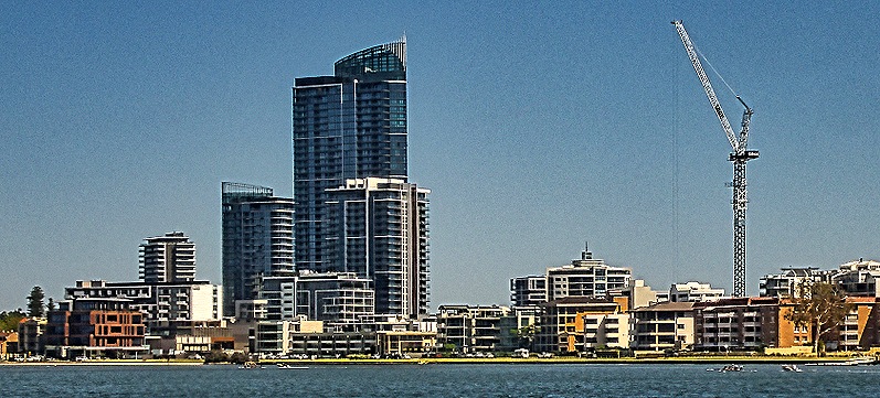
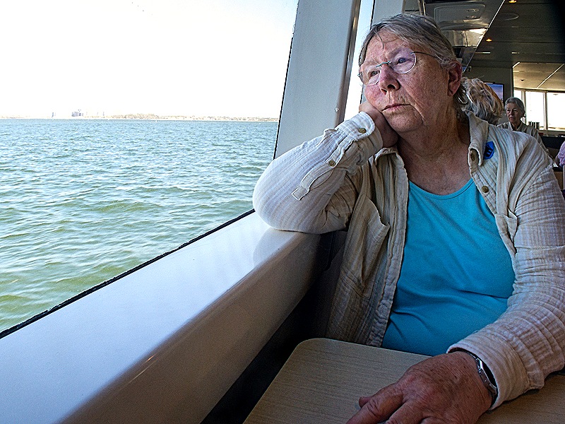
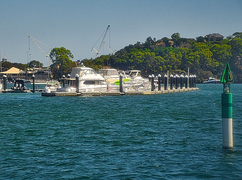
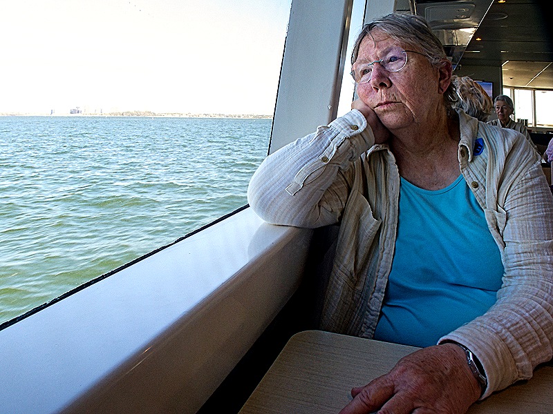
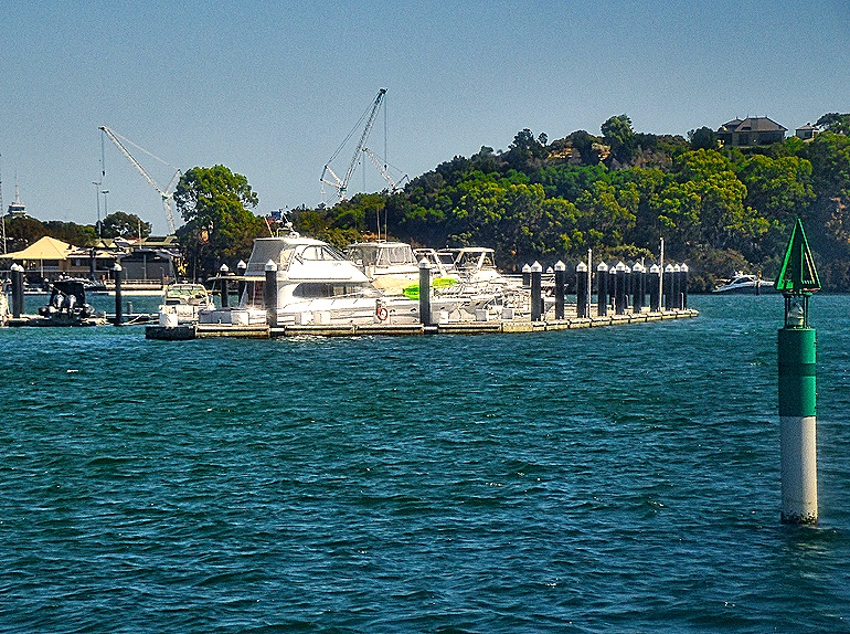
When we signed up for this excursion they made this sound like a scenic and enjoyable river cruise. But it really wasn’t. The boat was rather crowded, we all sat at tables, the scenery was neither very scenic nor varied and there was little in the way of interesting landmarks to see. A small boat dock before a turn in the river was about the most interesting sight. When we got close to Fremantle we did sail under the bridge we had seen under construction in the morning, which was interesting, and a large boxy ship that might have been a tanker was docked in front of the Zaandam.
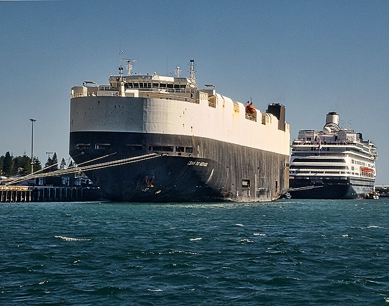
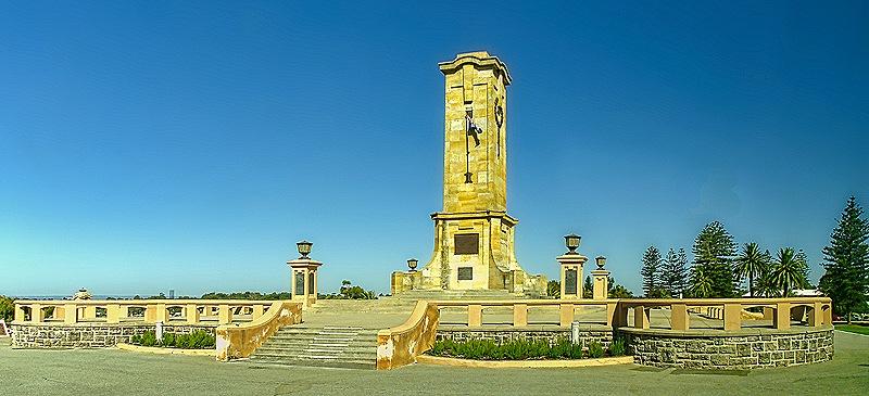
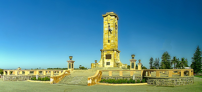
It had been a long day and we were looking forward to getting back to the ship as we boarded the bus on the dock. But no . . . first we had another unnecessary drive through the streets of Fremantle and then they took us up a hill to see the Fremantle War Memorial. Completed in 1928, it honors the almost 60,000 Australians who died in World War I. The central tower is about 60 feet high.
After this we finally made it back to the ship, ending a long but interesting day. If we were to do it again we would take the train, which runs from a station walking distance from the ship to the center of Perth. That would be much faster and much less expensive. Tomorrow was another day in Fremantle, this time on foot.
Exmouth, Australia 2026
We anchored off Exmouth in Western Australia on February 18 after three days at sea. We were supposed to spend February 16 in Broome but that turned out to be impossible. We were eating breakfast that day when the first announcement came over the loudspeakers that we were having trouble docking. The seas were pretty choppy and there was a good bit of wind but the Captain said that the main problem was that the city’s brand new floating dock (we were only the second or third ship to try to use it) was not working as expected. It apparently was moving a lot in the wind and swells so that they couldn’t get a secure hold with the ropes. He tried moving the ship up 100 yards but that didn’t fix the problem. He said they probably would have to modify the design, but we haven’t found any indication on the internet since that this has happened. We found a Broome facebook notice about the cancellation that attributed it exclusively to the weather, so who knows. Anyway, missed ports happen and Broome was not a priority destination for us. We were disappointed to find out afterwards, though, that HAL would not refund our port charges for the missed port as they had always done in the past. Its hard to understand how they can justify keeping money charged to pay for something that didn’t happen. At least it was not a lot of money.
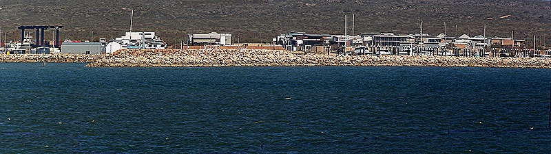
Exmouth is a tiny isolated town in an arid environment. It has a population of about 2,800 but it is a resort town so during the tourist season (after April) it can swell to three or four times that size. The biggest attraction in the area is the Ningaloo Reef, a 160 mile long coral reef that is unusually close to the shore (less than a third of a mile at some points). The town was first established in 1964 to support a nearby US naval facility, although the area had been the site of American and Australian military defenses during World War II. Looking out from the ship we saw a rocky brown shoreline with low boxy looking buildings behind it.
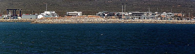
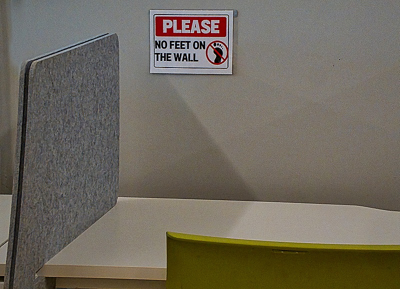
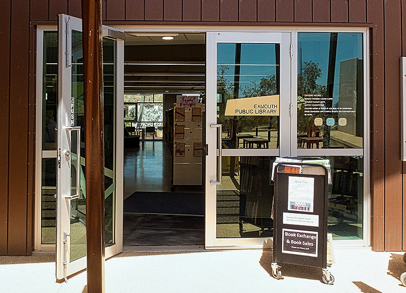
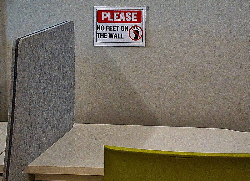
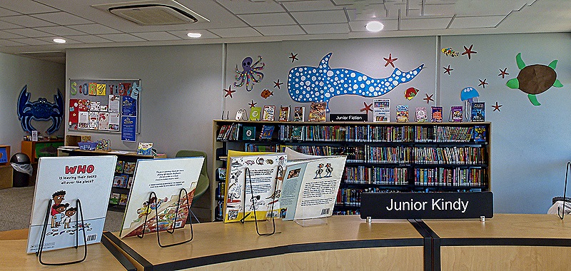
In mid-morning we joined our friends Donna and Karen and tendered into the town. There was a shuttle there that took us to the Ningaloo Center, a multi-purpose facility within walking distance of the center of town. Among other things, we visited the Exmouth library that was located there, which is part of the Western Australia Public Library system headquartered in Perth. From the outside it looks like a glass storefront, but it is quite nice inside. This is the first public library we have seen that charges for an internet connection, and another first for us was a library where patrons have to be asked to keep their feet off the wall.
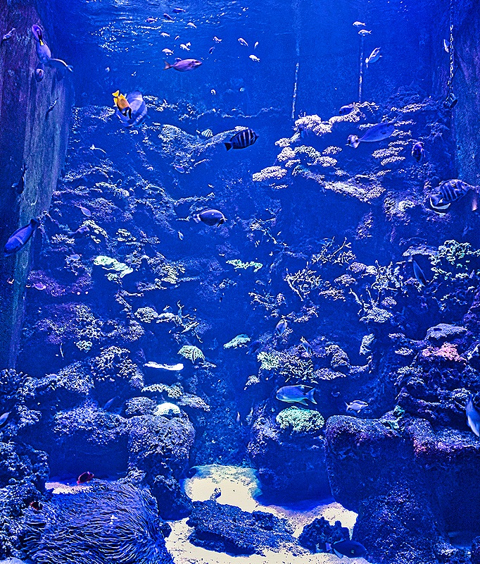
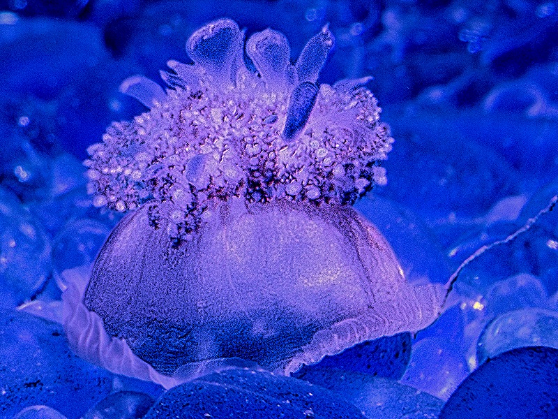
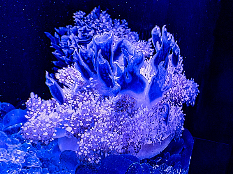
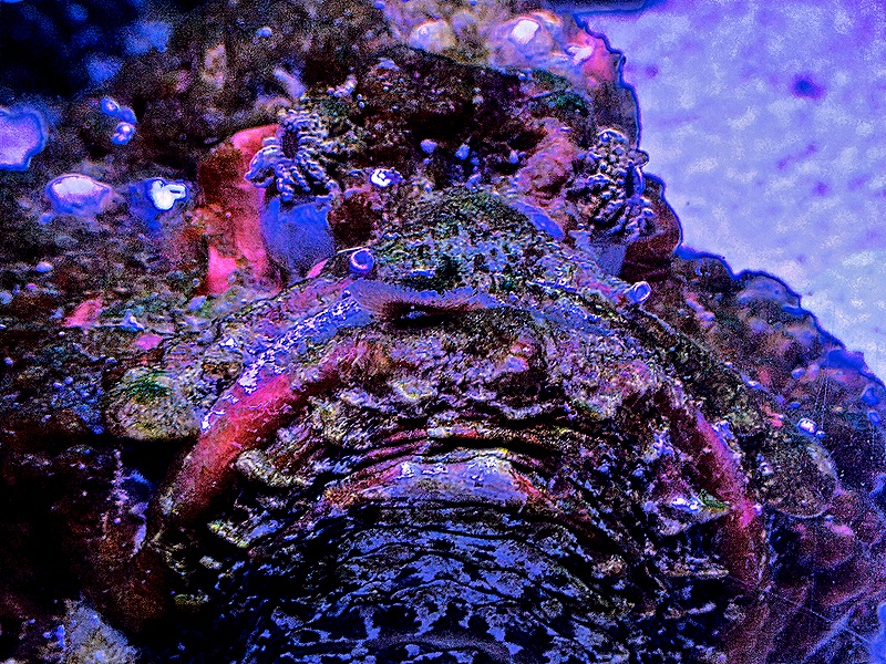
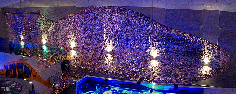
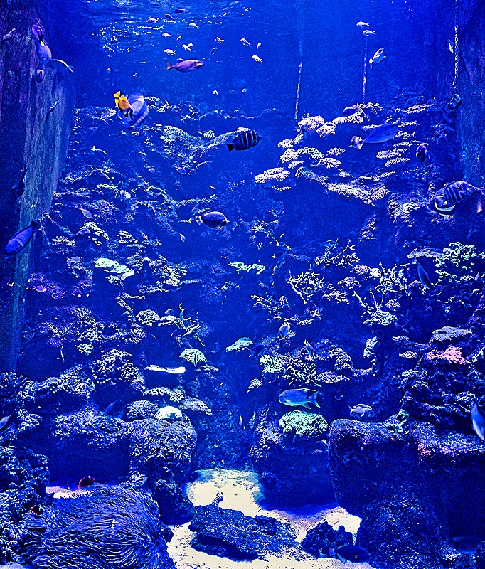
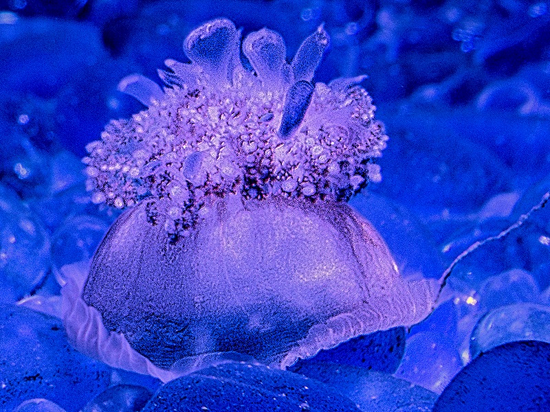
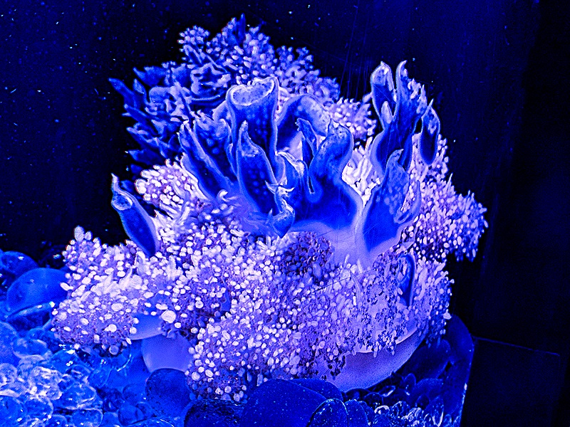
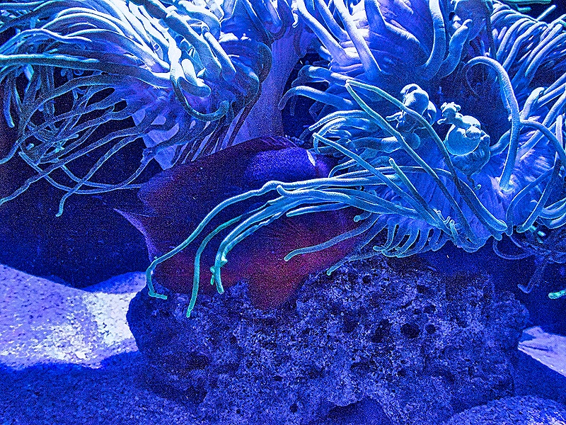
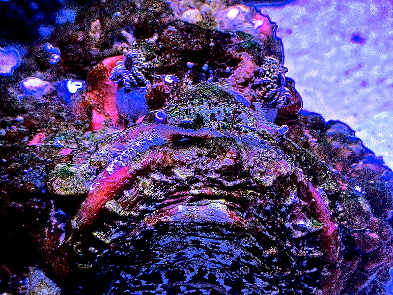
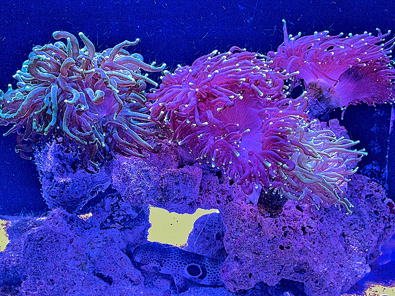
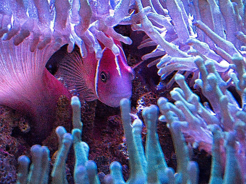
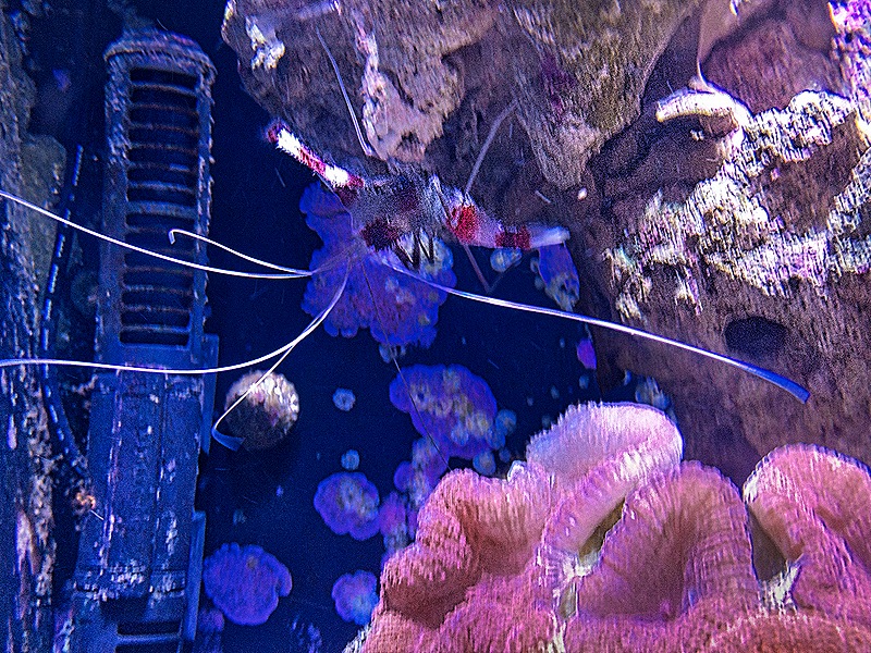
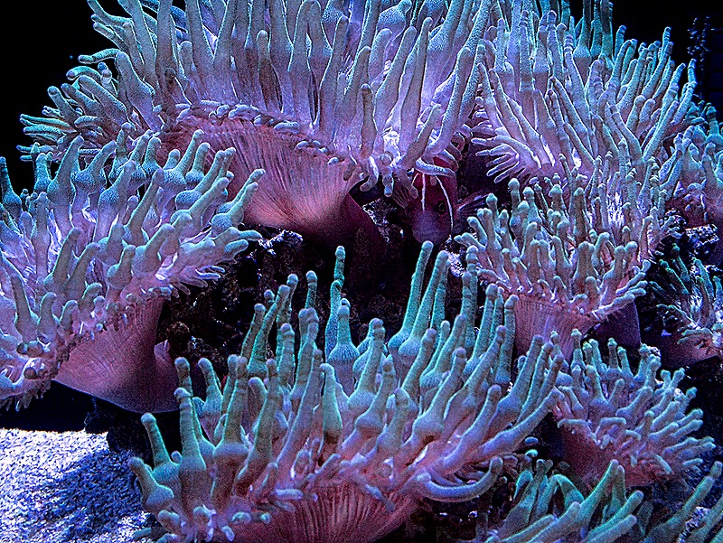
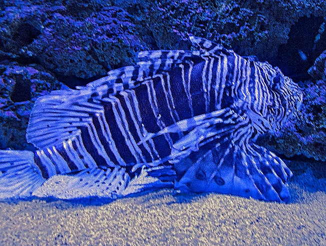
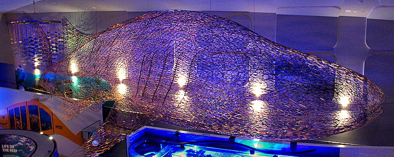
The Ningaloo Center had meeting rooms, gift shops, tour companies offering excursions and more. But the one thing there we spent some time at was their small but very nice aquarium full of local sea life. It was all arranged very well and there were explanatory plaques with printing actually big enough to be easy to read. A lot was aimed at kids, which is OK because the sea life was interesting for anybody. Among other things they had jellyfish (including upside down jellyfish), a very nasty looking stonefish, coral banded shrimp, a pink skunk clownfish hiding among some bubble up anemone (we think), and a common lionfish (looking very uncommon). These were all in separate small aquariums in a large room with other exhibits and some interesting historical stories on the wall. Above this entire large room was an impressive whale sculpture made of wire hanging from the ceiling. Unfortunately, the thin wires do not show up in the picture the way they did in person.
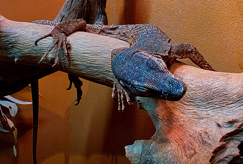
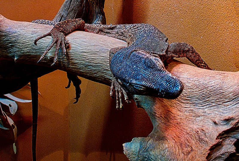
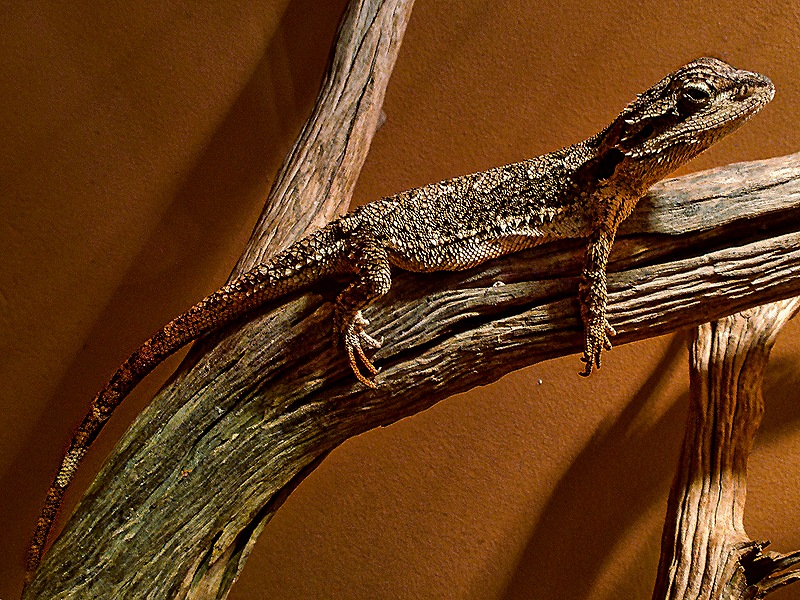
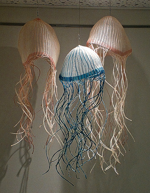
Up some stairs there was a desert display with signs telling about that environment. Animals in that area included a Black-headed Monitor and a Western Pygmy Bearded Dragon. On the way up the stairs we passed a display of huge jellyfish (not real).
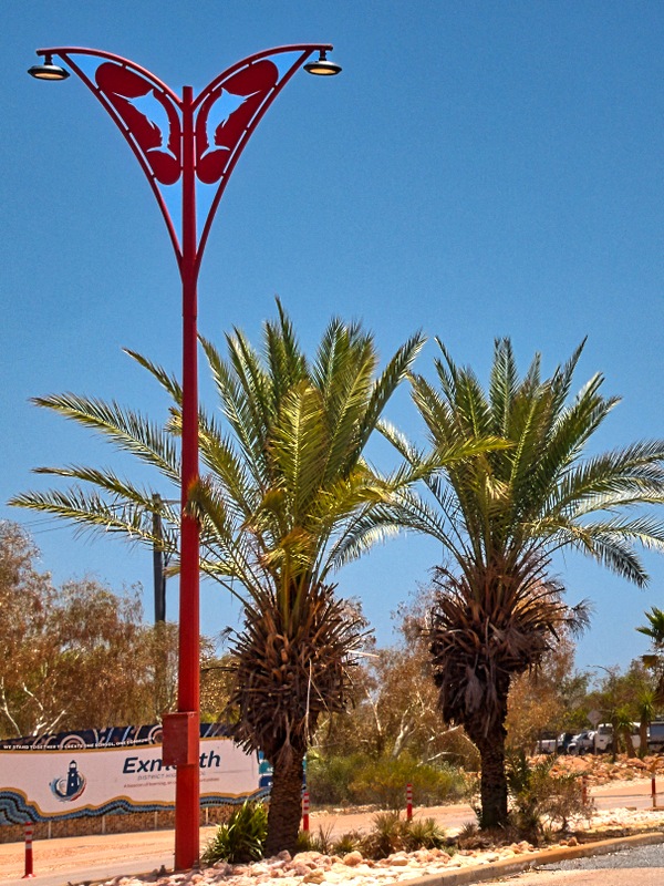
After about an hour and a half here we looked over our instructions to find the other shuttle stop in the center of town, the only one where we could catch a shuttle back to the dock to return to the ship. It was not a long walk but very hot. We were hoping to see the giant prawn statue they have here (where else are you going to see something like that?) and we walked by the spot where it was supposed to be, but they had taken it down for the cyclone season. Probably smart, but disappointing. We did, however, pass the town’s “Big Whale Shark” sculpture, sitting right next to the main gas station in town (two other stations are further out of town) as we turned left to reach the shopping center that is the town center. As we walked down this street from the Ningaloo Center we kept hearing raucous bird calls. Looking up we saw cockatoos sitting in all the palm trees that line the street. There seemed to be a pair in each tree, perhaps mating partners. Here are pictures from our walk.
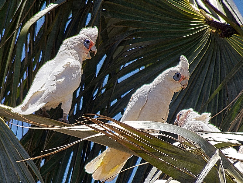
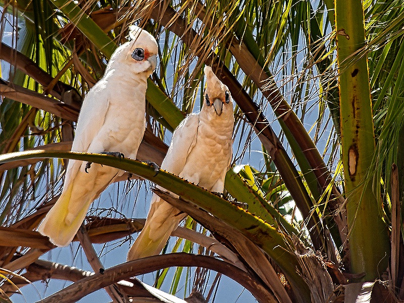
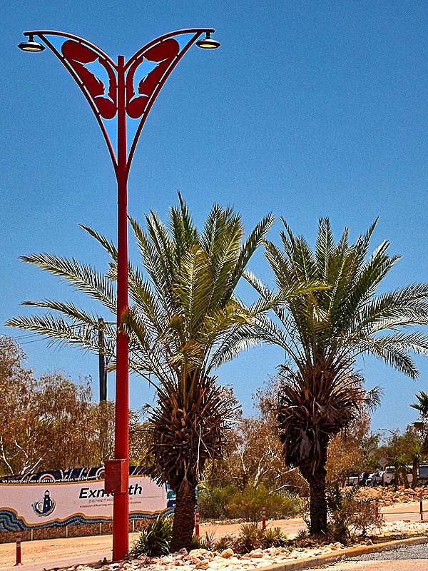
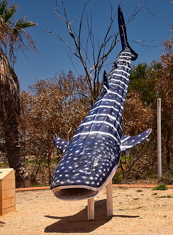
The shuttle stop area in the center of town was a large shopping center with stores, restaurants and two IGA’s, along with a large parking lot. These IGA’s seem to be the only grocery stores in town, so why would you build them in the same place? We sat in the heat at an outdoor table for a while while Donna and Karen had something to eat (we decided to wait for lunch until back on the ship). We ran into a couple more of our tablemates in this area, one of whom had spent the morning getting a cracked tooth fixed (turned out to be only a cracked crown). We took the shuttle back to the port and tendered back to the ship where we had lunch and spent the afternoon on board.
Darwin, Australia 2026
We were in Darwin for Valentine’s Day, February 14. We spent four days at sea getting there, billed by HAL as the Great Barrier Reef Experience. The Great Barrier Reef was there as we sailed by but it was well under water so of course we couldn’t see it. We aren’t sure what they mean by hyping it as an “Experience.” North of Cairns there were a few low, long and skinny islands that were probably pushed up by the coral on the reef, but not really special.
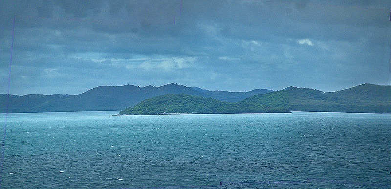
This was our second visit to Darwin. In 2016 we were here on a very sunny, oppressively hot and humid day, but we did a lot and explored the city. The blog post from that stop also includes some background and context that we are not going to repeat here. https://baderjournal.com/2016/03/08/ But today’s visit was entirely different. It rained all day, sometimes heavy sometimes light, and we spent the day on an excursion. So in the morning we all piled on a bus and headed out to see crocodiles.
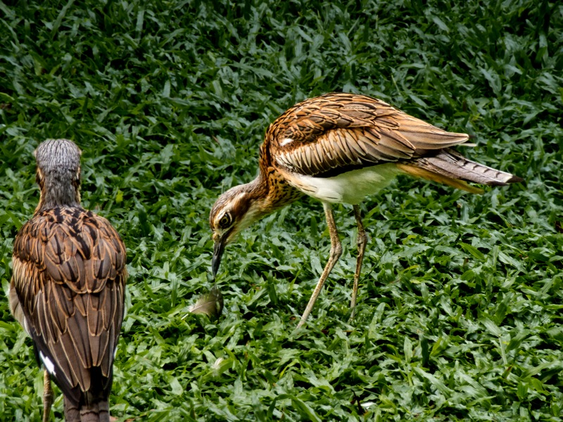
It was about a half hour drive to Crocodylus Park, which was basically an amusement park with zoo. We had about an hour to wander around the grounds to see the caged animals before our scheduled boat ride among the crocs. The animals on display in their small caged areas were mostly Australian, though not all, and some of them were pretty interesting. But really, we prefer seeing animals in the wild rather than cooped up in unnatural surroundings for tourists to look at. Among other animals we saw Meerkats from Africa, Bush Stone Curlews (Australian birds), Emus and Cassowaries (large Australian birds) and snakes (a Boa and an Anaconda).
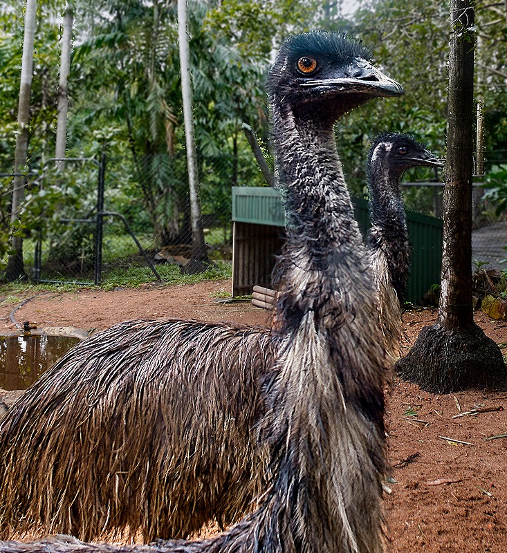
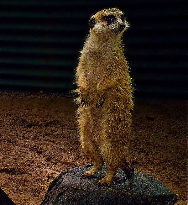
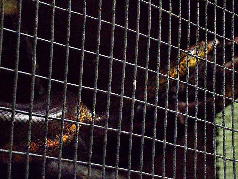
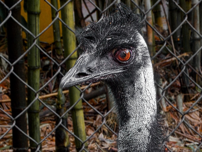
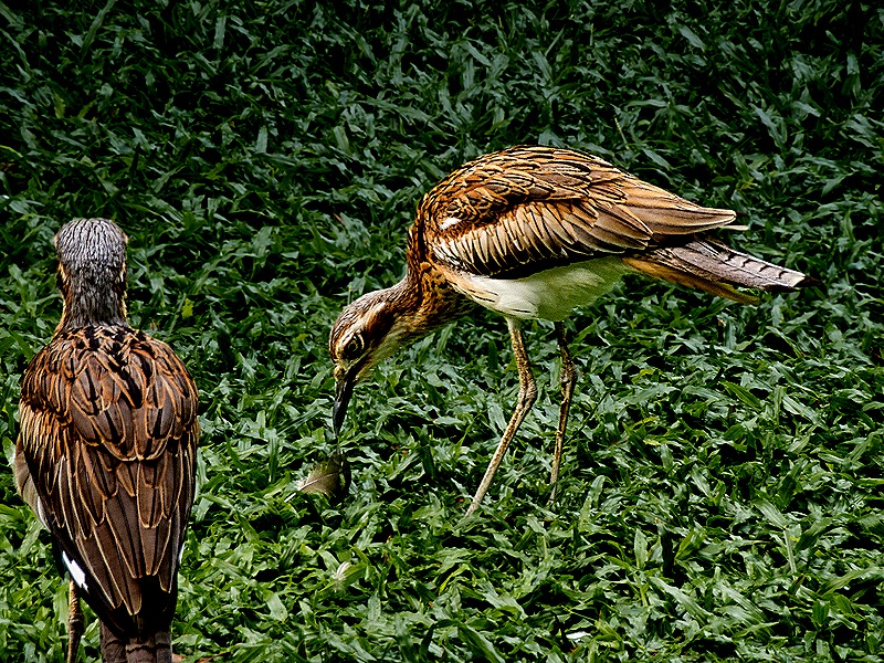
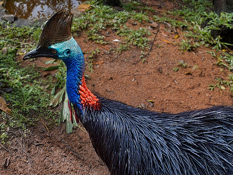
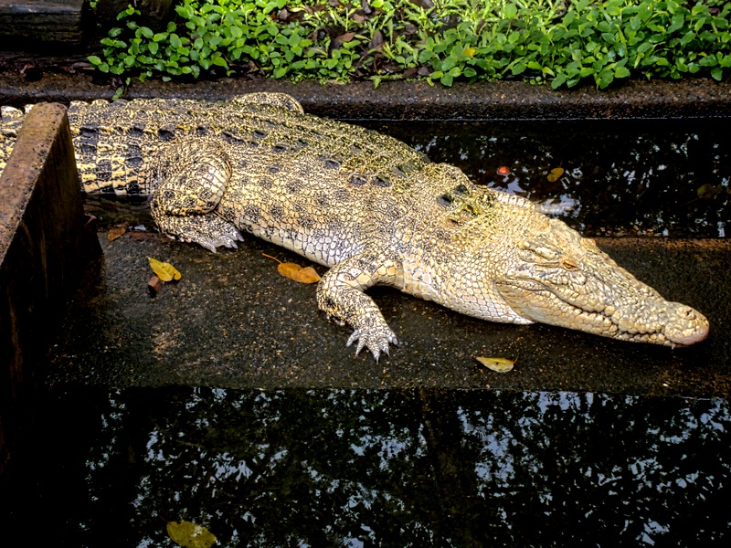
But really that was just a sideshow. There was no doubt that crocodiles were the main attraction here and we saw quite a few of them, many in fenced enclosures that looked far too small for them.
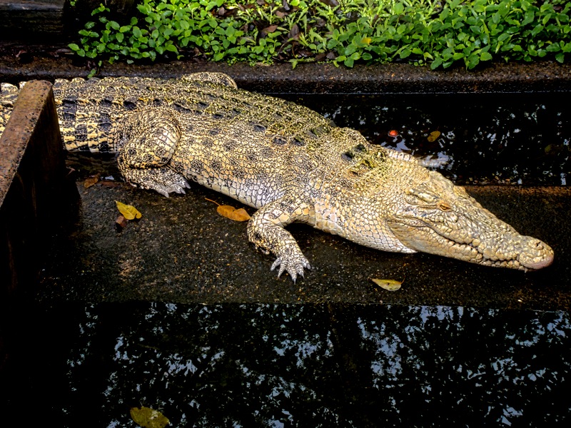
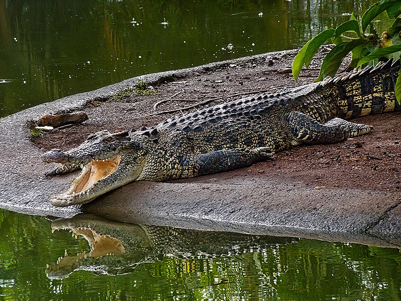
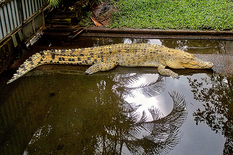
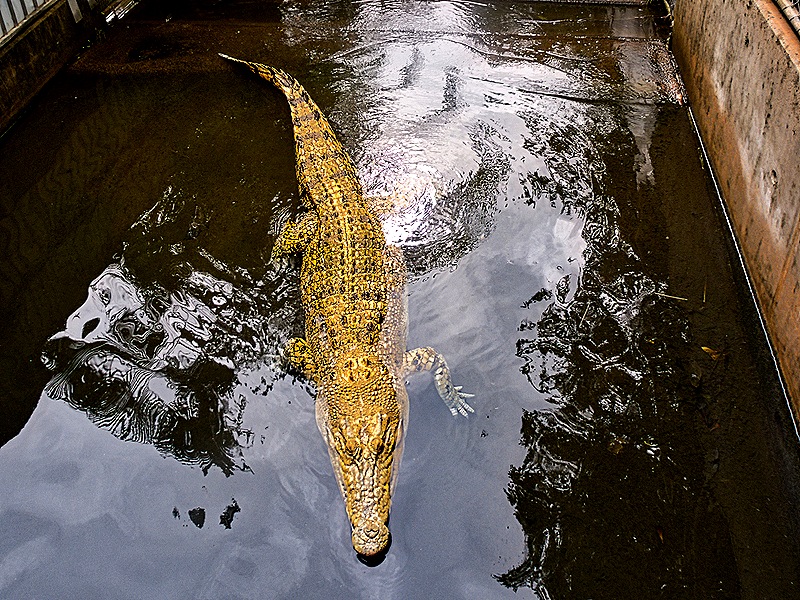
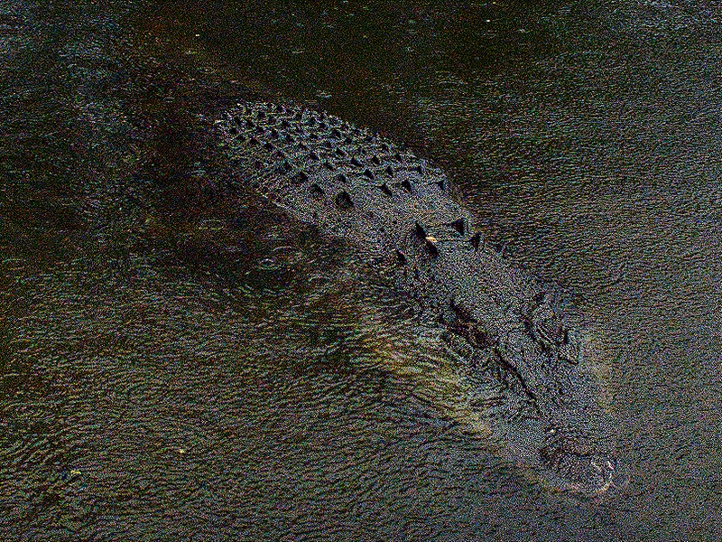
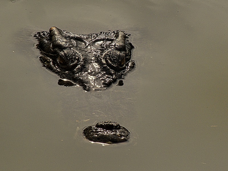
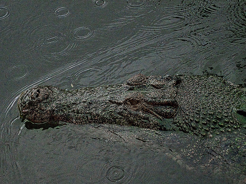
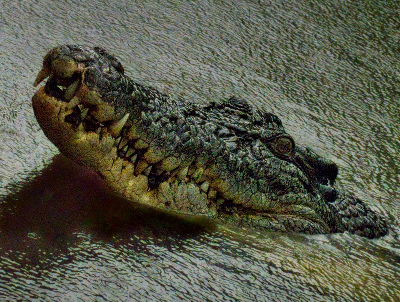
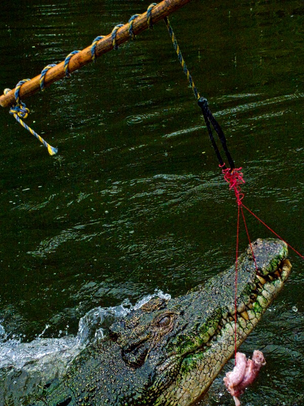
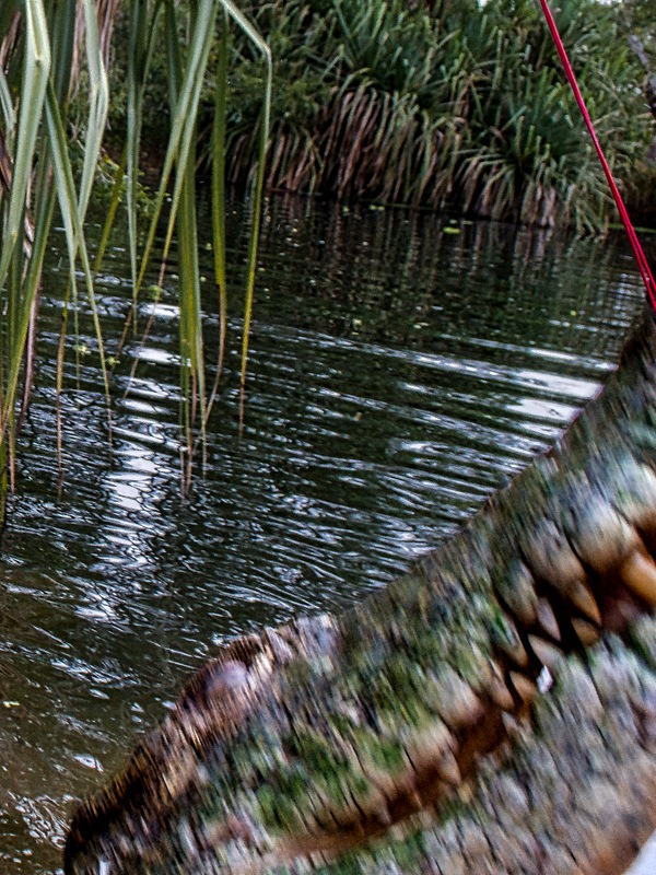
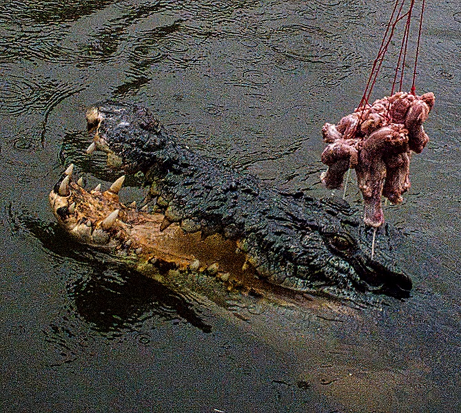
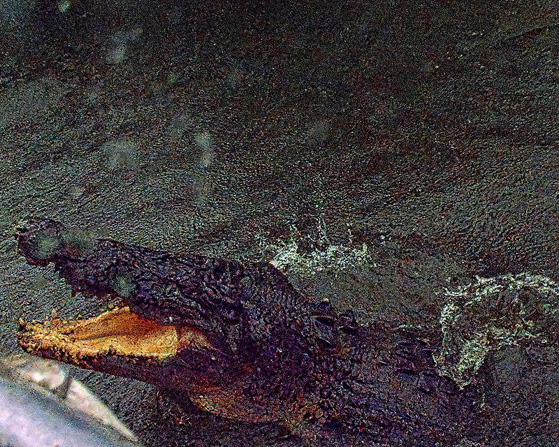
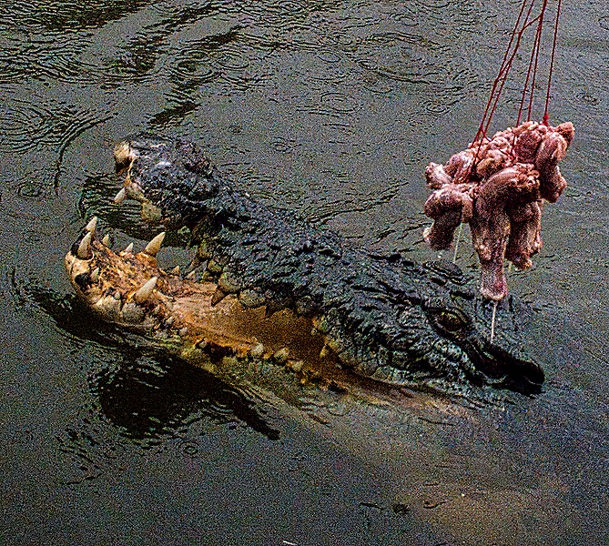
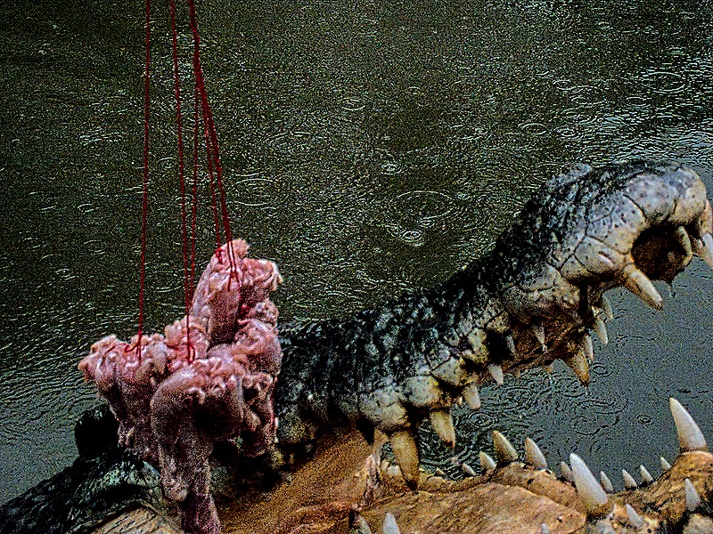
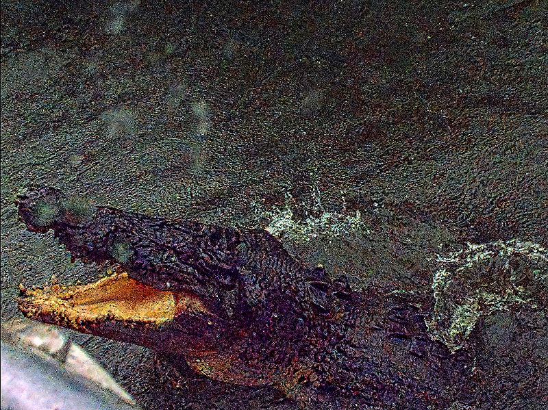
The highlight of the visit was a boat ride on a swampy lake full of crocodiles. These are the so called “jumping crocodiles” that are popular around here, not a special breed but just hungry crocs who will leap out of the water to grab food that is dangled above them. Our young but experienced driver/guide would attach a bunch of chicken necks to a rope on a stick, then hold the other end of the stick so that the food was well above the water. The crocodiles’ athletic display leaping directly up from the water to get the food was pretty impressive. Usually they look so restrained but when food is at issue they are fast and usually accurate. They glide toward the boat pretty stealthily, mostly underwater except for their eyes.
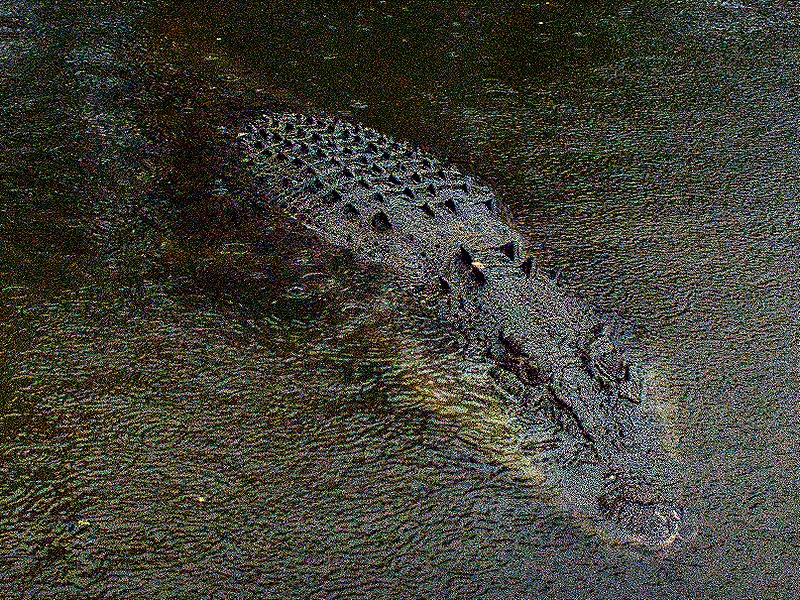
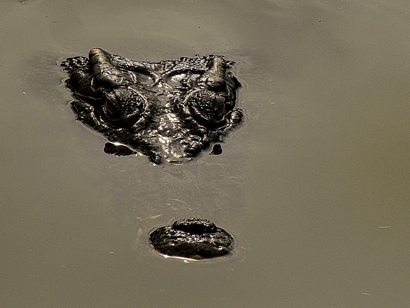
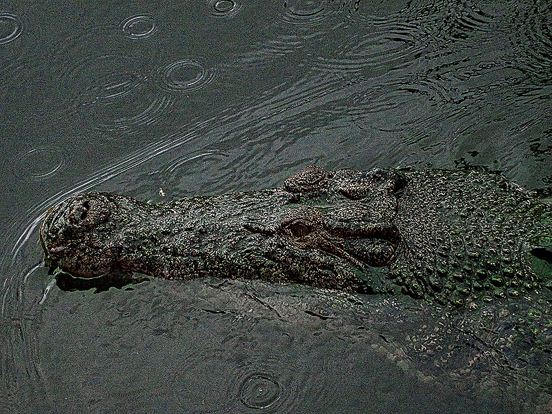
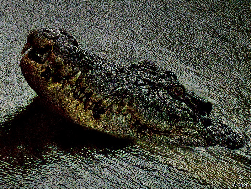
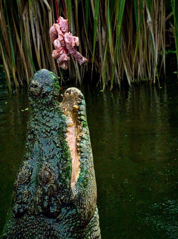
Spotting the food, they swim under it and leap high in the air.
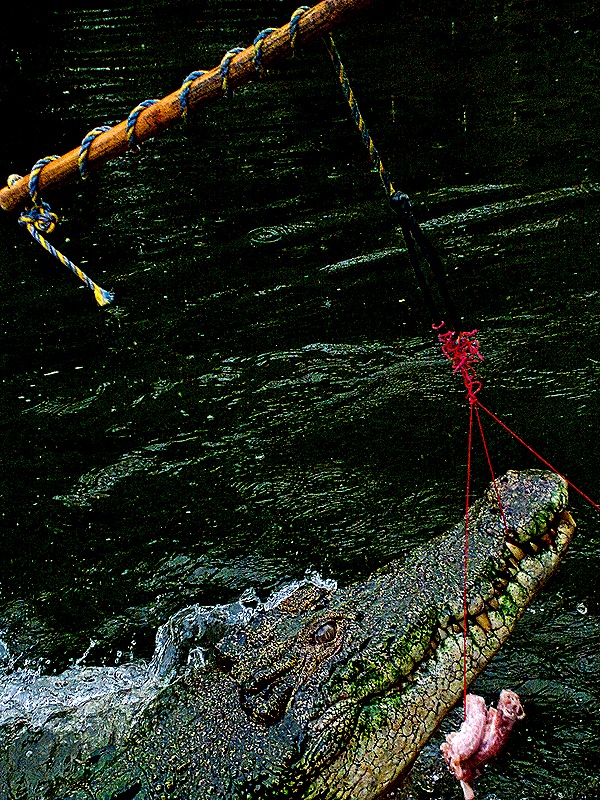
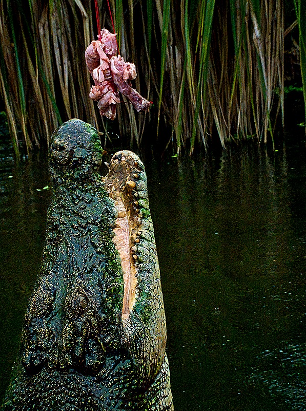
Usually they grab the food, but often enough they miss. Rick was sitting right at the edge of the boat so they were leaping up right next to him very quickly, making it difficult to get them in the photo. Note the raindrops in the last of these photos, the very beginning of a real downpour.
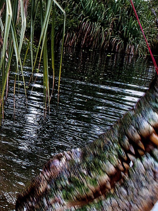
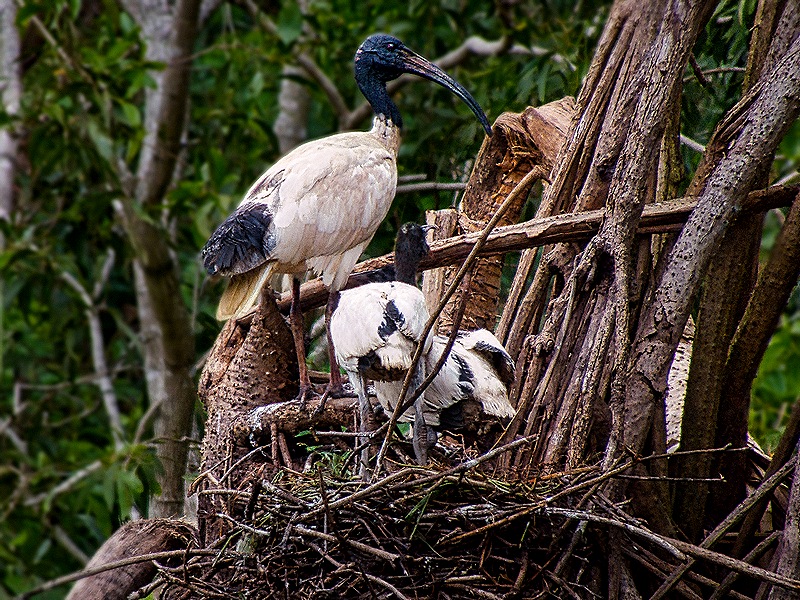
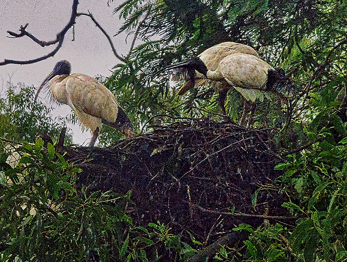
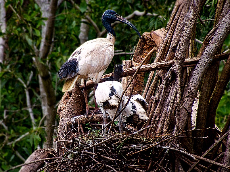
Also of interest here, in addition to the crocodiles, was a large colony of ibises nesting in the trees. We have seen ibises before but never in a nest.
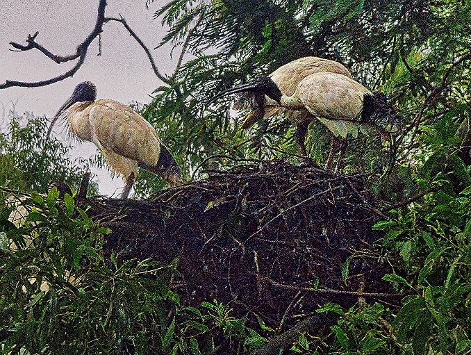
Well, we mentioned above that the crocs were jumping up very close to Rick at the edge of the boat. And of course they don’t care whether people in the boat get wet when they jump. Rick did get a little wet a few times, but finally one of them made a mighty leap at just the right angle to send a wall of water onto Rick. He wasn’t worried about getting wet, it was that kind of day, but the camera was inundated with water and apparently some of it got inside it. So these were his last pictures, at least for today, because the camera completely stopped working.
We walked (quickly) back to the building in the pouring rain and when we got back on the bus Rick opened up the camera as much as possible and tried to dry it out. Then we left it to dry (hopefully) for the rest of the excursion. But to no avail.
Our next stop was at Darwin’s military museum. Darwin is in the far north of Australia quite close to Indonesia, which the Japanese had mostly occupied early in the war. On February 19, 1942, a force of 188 Japanese planes fresh from bombing Pearl Harbor bombed Darwin. Darwin was then a small isolated town of about 6,000 but its location gave it strategic importance. Some 250 or more people were killed and more than that injured. More than half of Darwin’s civilians were evacuated after that and many of them never returned. This was the first of 64 Japanese bombing attacks on Darwin, continuing through 1942 and 1943.
We spent more than an hour at this museum, which is small and light on artifacts but includes many interesting photos and audio accounts by survivors. The highlight is a 15 minute film, including original pictures as well as CGI sequences of the Japanese planes, telling the story of February 19. Outside was some larger military equipment used during the war. Altogether worth seeing.
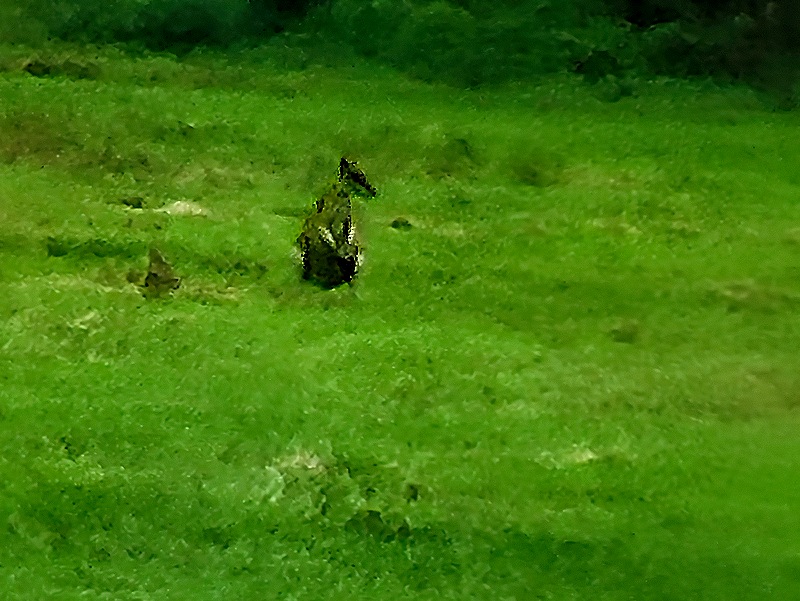
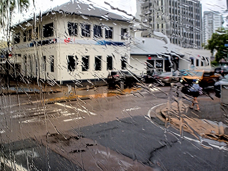
Of course, thanks to our friendly (or not so friendly) crocodile, you will see no pictures of the museum in this blog episode. We do have two more pictures to end this episode, however, such as they are. While sitting on the bus waiting to leave the museum Mary spotted a whole lot of little wallabies spread out in a meadow across the street. She took a picture with her phone, but they were really too small and far away for a decent photo. Second, although Rick’s camera did not recover during the excursion as we hoped, he did take a couple of experimental shots through the bus window just to see what would happen. Nothing, it seemed. But after we got back to the ship he was able to download all of the day’s pictures to his computer (yay!) and the two experimental shots from the bus were there. So that meant the whole camera wasn’t drowned, just the lcd display on the back. Still not very usable, but at least . . . ITS ALIVE! As you can see below, it was pouring rain as we drove back to the ship so we abandoned our original plan to take the shuttle into town to walk around. We sailed away around 5:00, keeping our fingers crossed that the camera would dry out and return to normal.
Cairns, Australia (2 days) 2026
On February 8 we arrived in Cairns, our first stop in Australia on this trip, for an overnight visit. Founded in 1876 as a port for a nearby gold field, Cairns became a town in 1903 (with a population of about 3500), was heavily involved in World War II (it is on the edge of the Coral Sea) and today has grown into a city of about 160,000 people. Cairns can be an interesting place, which we enjoyed on our first visit here in 2016: https://baderjournal.com/2016/03/06/. This stop had originally been scheduled for one day but was expanded to two when an earlier port stop was cancelled.
Day 1
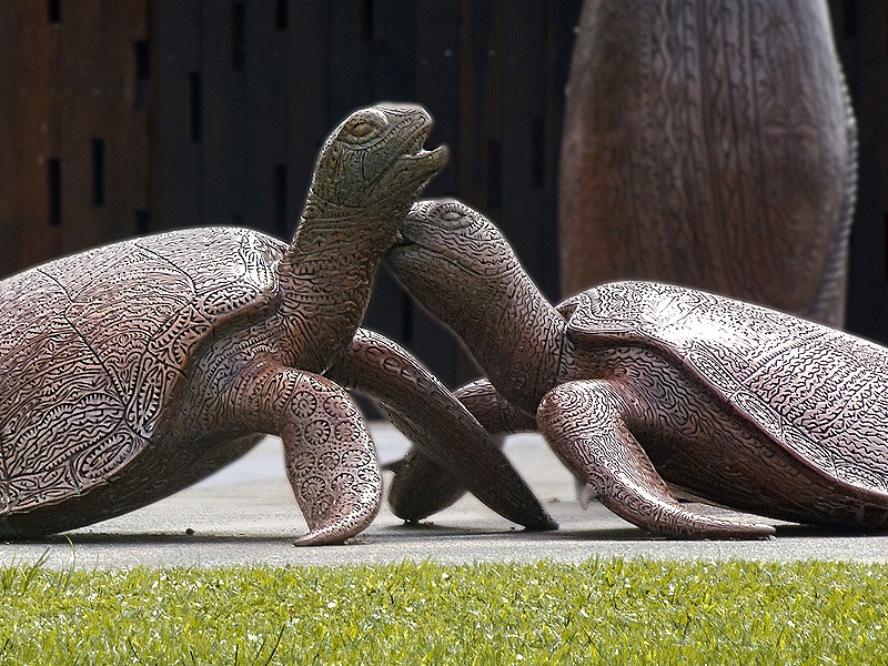
After a lot of excursions in previous ports we decided today would be a good day to spend walking around on our own. So we set out after breakfast, thinking this would be a nice walk mostly visiting places we had enjoyed in 2016. As we walked out of the port we passed some bronze wildlife that we had seen last time.
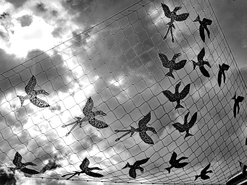
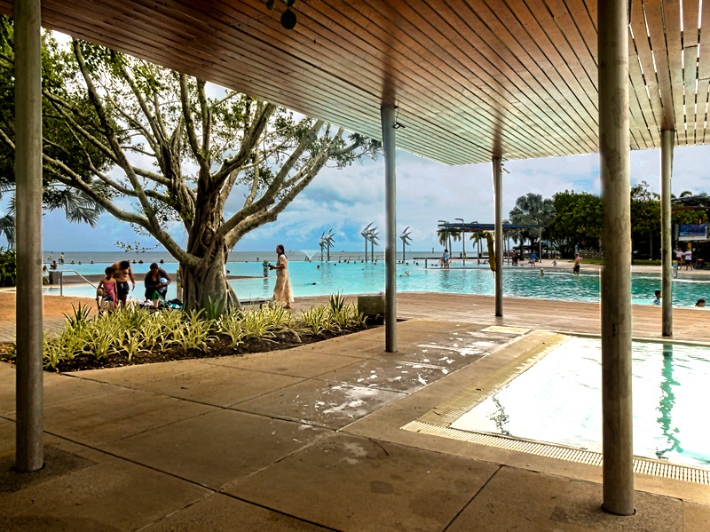
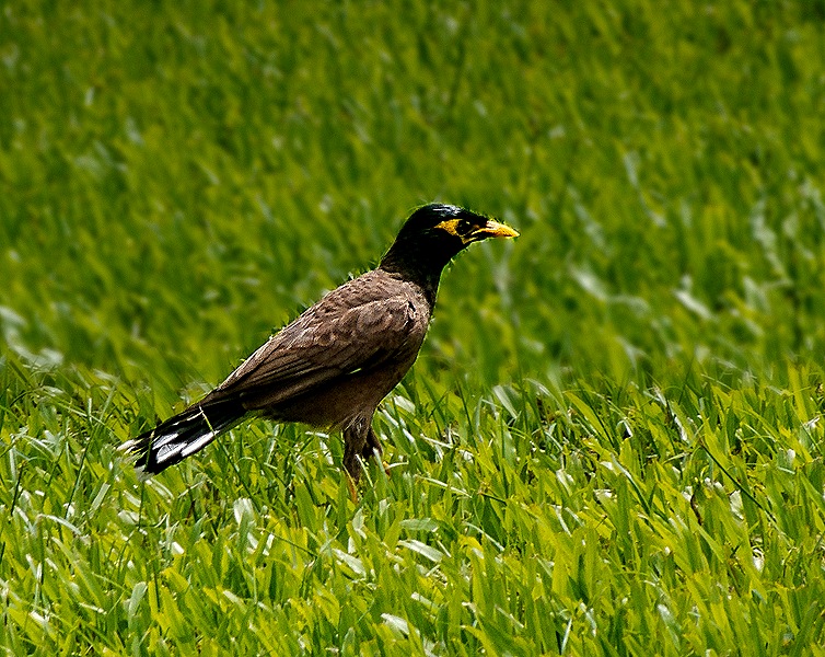
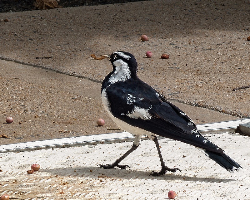
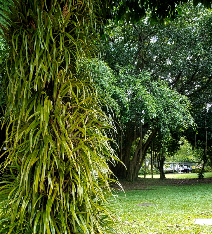
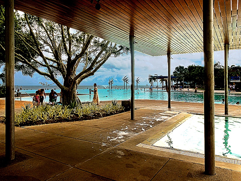
We walked into the town past our first disappointment . . . the wildlife dome above the casino we had enjoyed on our first visit was no longer there. It had a lot of fairly exotic animals, we wonder what happened to them. However we did pass some wildlife on our walk, a couple of interesting birds populating a park. And we also walked along the Esplanade, a park along the seafront, including the lagoon, a man made swimming facility built because swimming in the ocean is too dangerous with deadly box jellyfish and sometimes crocodiles. Australia can be a dangerous place; we have read that all ten of the ten deadliest creatures in the world live in Australia.
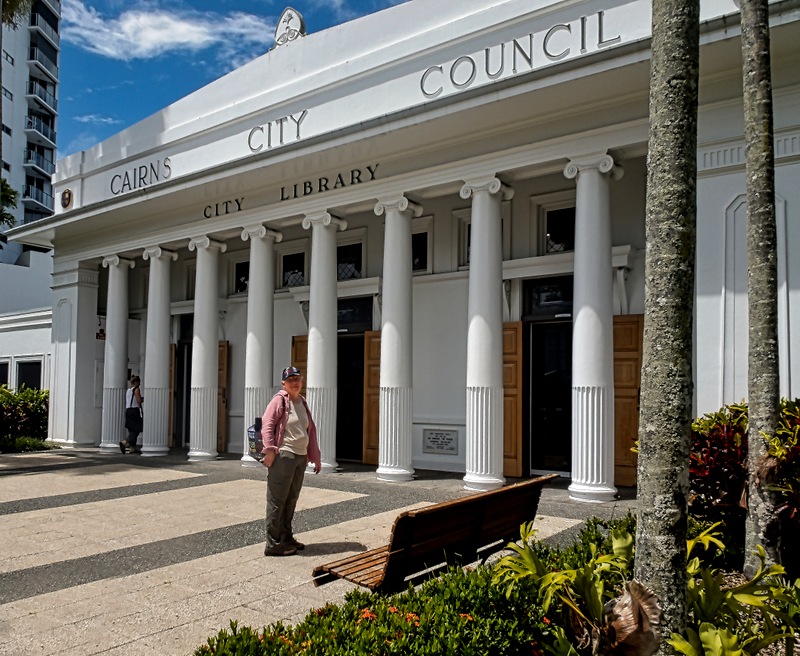
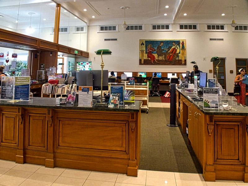
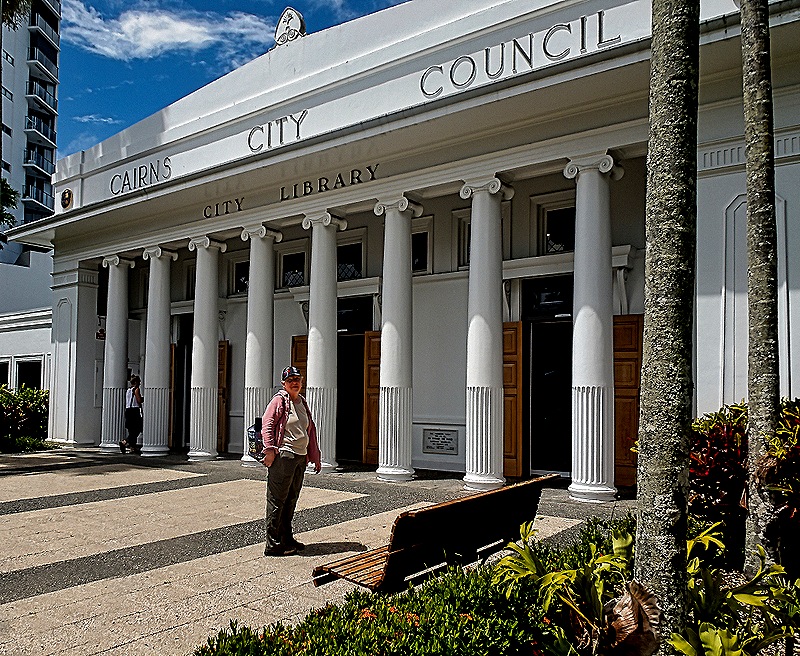
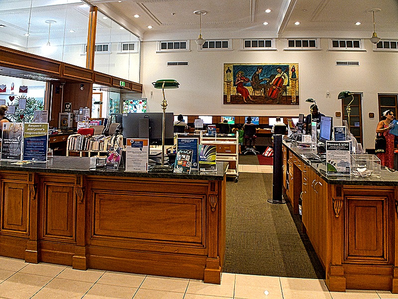
We visited the Cairns Library, where on our first visit we encountered thousands of Flying Fox fruit bats hanging from a couple of trees on the library grounds. It must have been quite a sight when they all flew away at once in search of food every evening. The library building first opened in 1930 as the home of the City Council (still etched into its facade) and reopened as a the Cairns City Library in 1999.
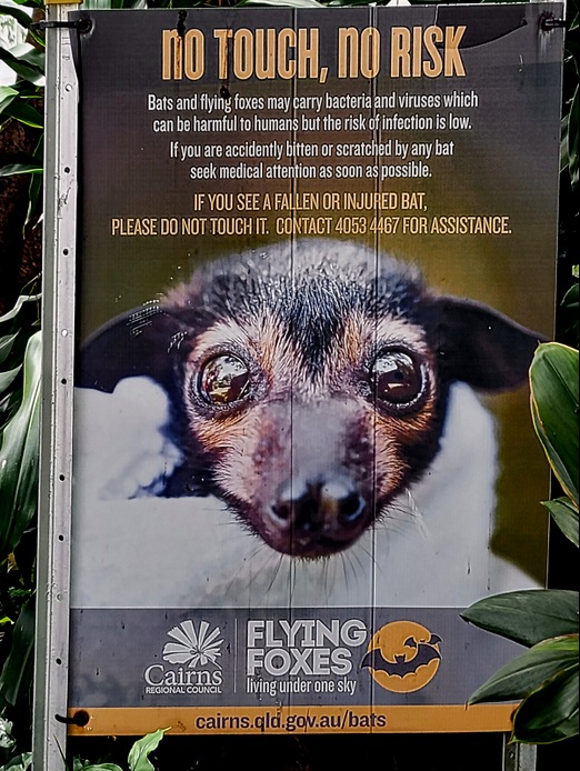
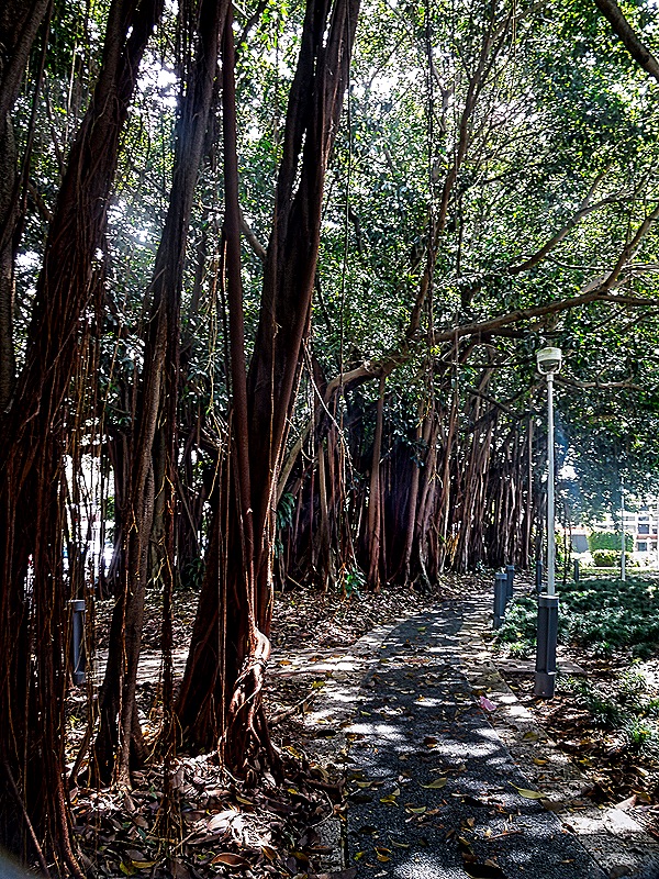
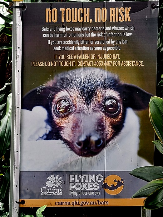
Well sadly the bats are no longer in residence at the library. We asked about it inside and a librarian told us that patrons complained about them a lot and cleaning up their droppings (as well as avoiding getting hit by them) became a burden. So the library successfully managed to convince them to go live somewhere else (not sure what that entailed). There is still a sign among the trees on the grounds warning visitors not to touch the now absent bats.
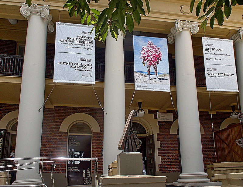
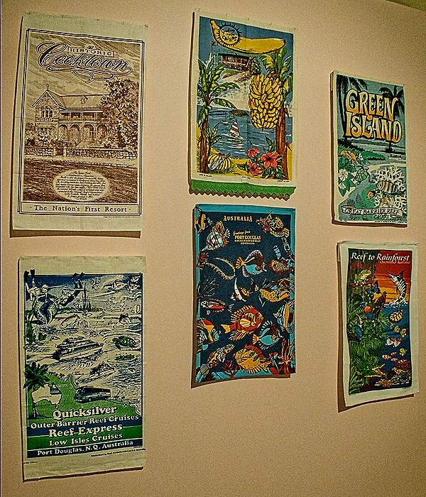
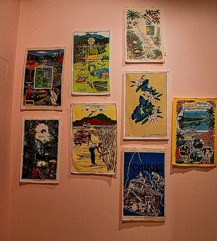
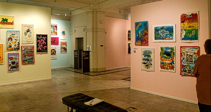
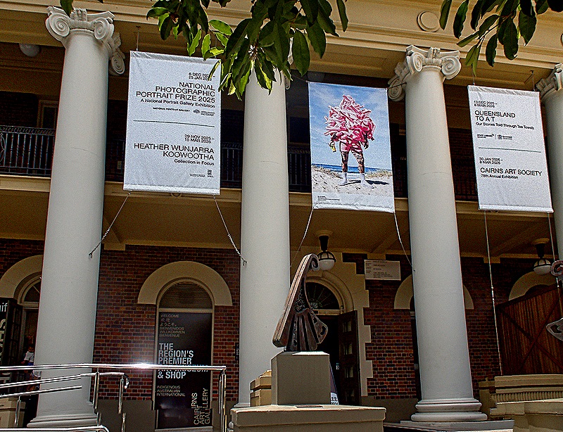
We tried to revisit St Monica’s Cathedral for another look at its unique stained glass windows, but alas it was Sunday so the cathedral was closed except for religious services. But we were able to visit the Cairns Art Gallery which we had not seen before. It is a very nice art museum with colorful displays of Australian art, an emphasis on Aboriginal art (which we really like), and rotating exhibits. The special exhibit when we visited was a collection of Australian tea towels, which was actually more interesting than it sounds. The art gallery opened in 1995 in an attractive building originally built in 1936 to house government offices.
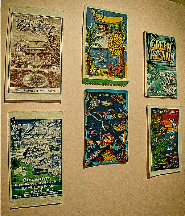
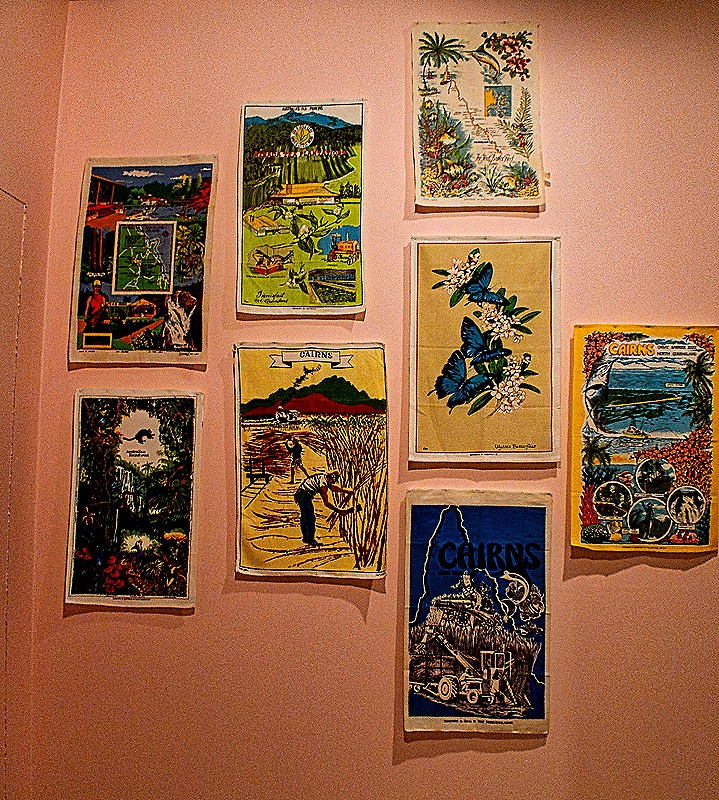
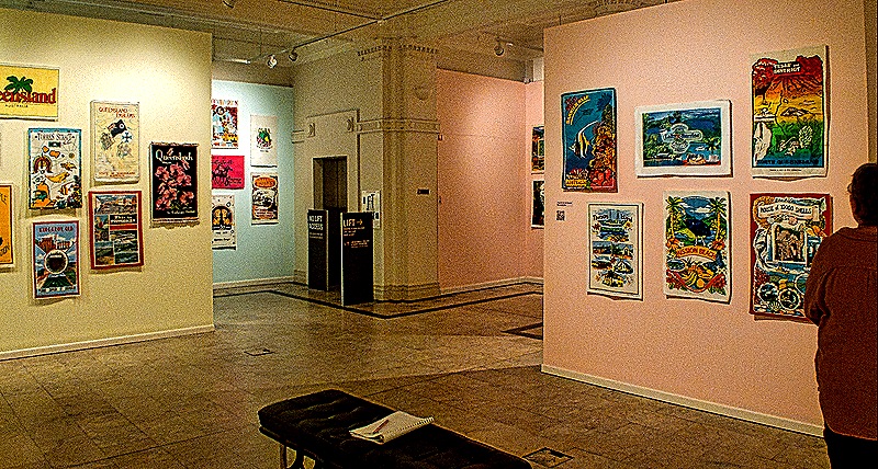
Well, it was a very hot and humid day (anyone who has been following along has read that before) and we had done quite a lot of walking because some of these buildings were harder to find than we had expected. We stopped for lunch in a nice shaded outdoor pizza place then had some very good gelato as we started the long walk back to the ship.
Day 2
We spent February 9 on an expedition to Kuranda, a small town (about 3300 people) located in the mountainous rainforest northwest of Cairns. The indigenous Djabugay people have lived in this area for more than 10,000 years and the first white settler arrived in the late 1880’s. A railway inland from Cairns reached Kuranda in 1891 and it has been known as a tourist destination since early in the 20th century, where people came to see the rainforest and the local Aboriginal culture. Since the 1970’s Kuranda has been known as an art center supporting alternative lifestyles and a tourist destination.
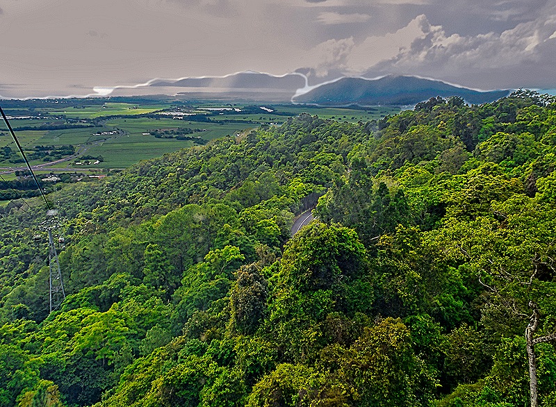
Our expedition traveled from Cairns to Kuranda on a cable car line running almost 5 miles from sea level in the northern part of Cairns into the mountains containing Kuranda. It was the world’s longest cable line in 1995 when it was completed.
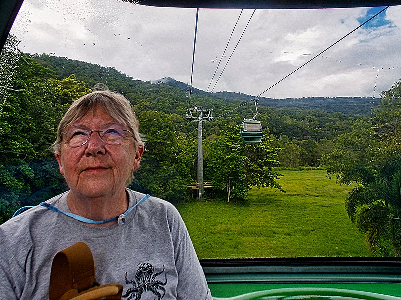
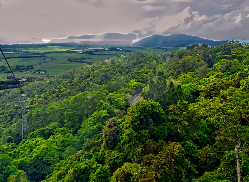
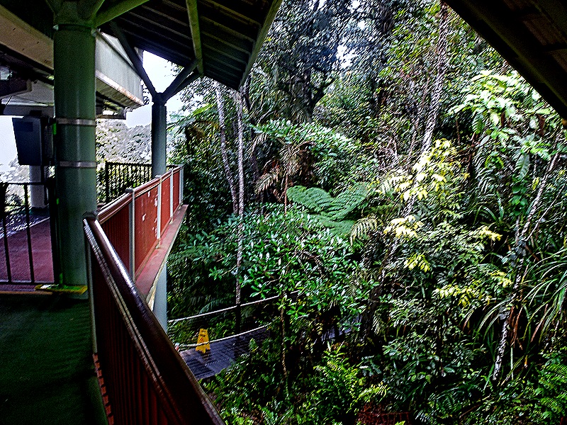
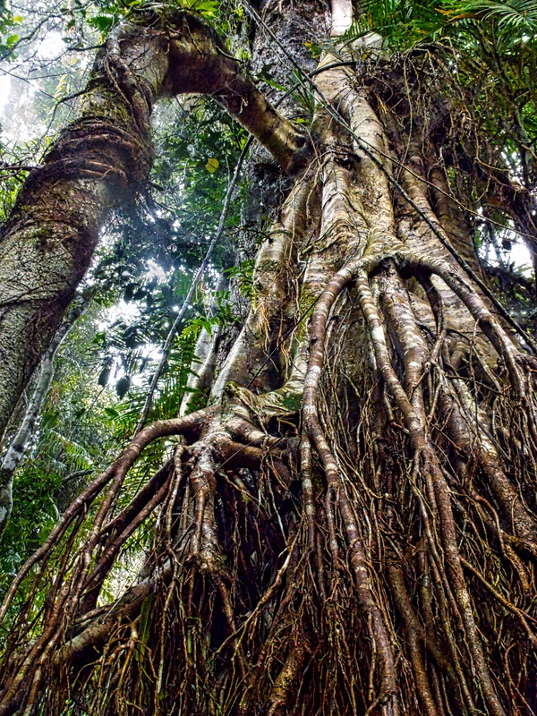
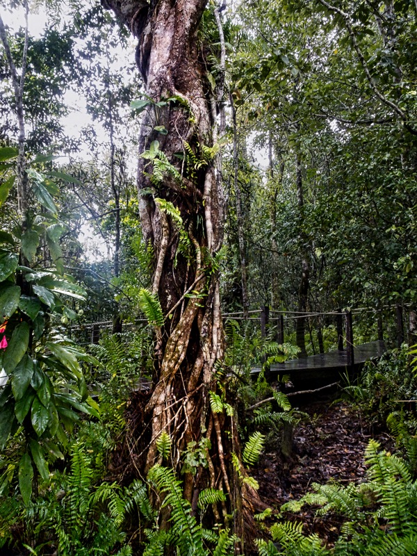
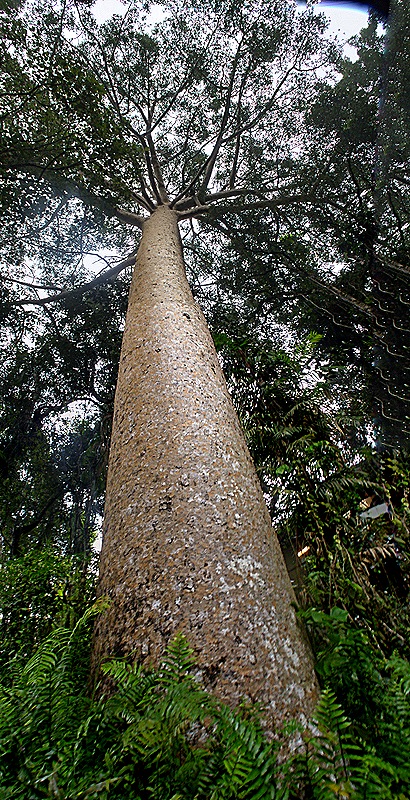
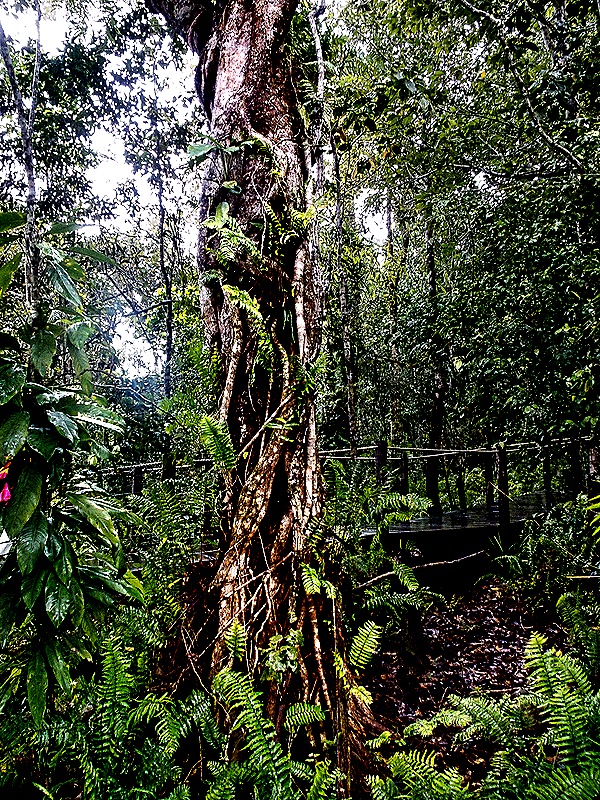
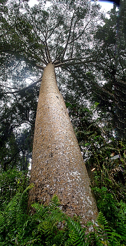
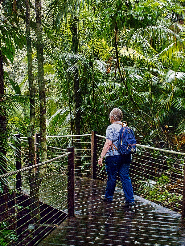
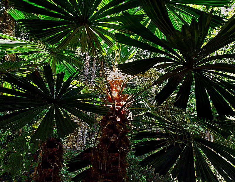
The cable cars stopped a couple of times to allow us to get out and look around. Each stop had well constructed wooden walkways with explanatory signs about the flora and other sights we were seeing. The first was called Red Peak, 1788 feet above sea level. This cable line travels through part of the Wet Tropics of Queensland, which encompasses the oldest rainforests in the world, some dating back 180 million years. The wooden visitor walkways at Red Peak are very high off the ground but under the top tree canopy. Notable among many other things we saw a Strangler Fig, whose seeds are deposited by birds and bats on high branches of a host tree. With plenty of light up there the Strangler grows down the surface of the host tree to the ground, where it fuses with other Stranglers and envelops the host tree. We also walked by a huge Queensland Kauri that is more than 400 years old. It has no low branches and its shedding bark prevents vines and other plants from growing on it and competing for light.
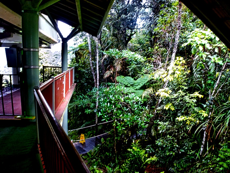
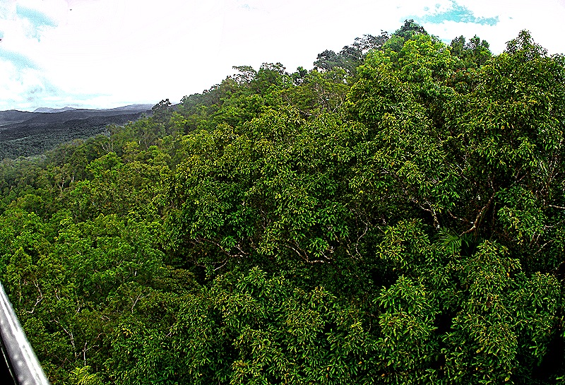
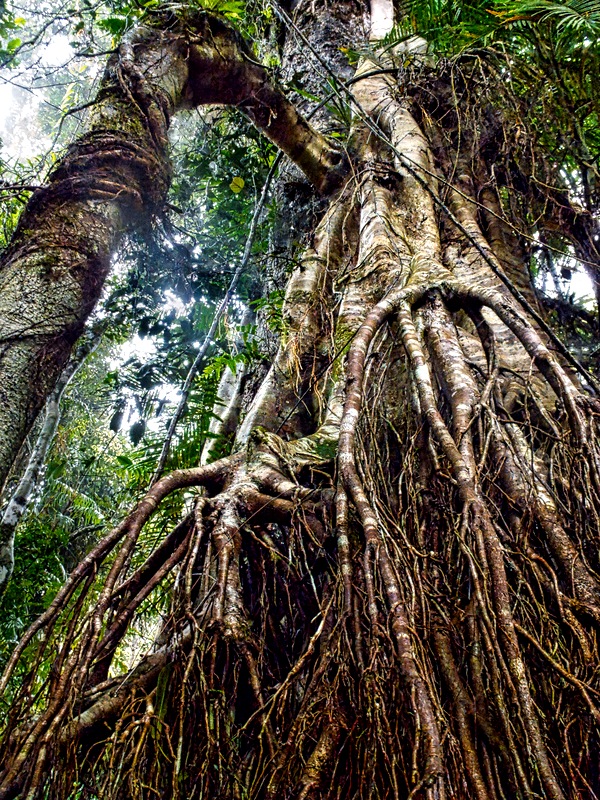
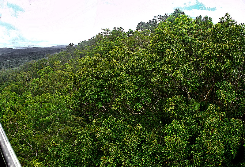
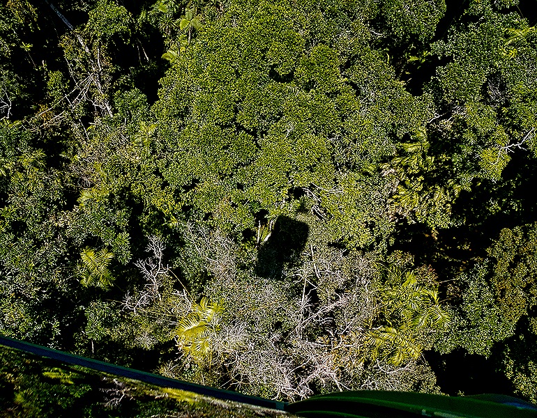
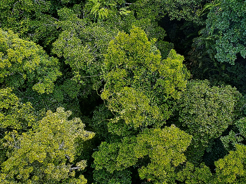
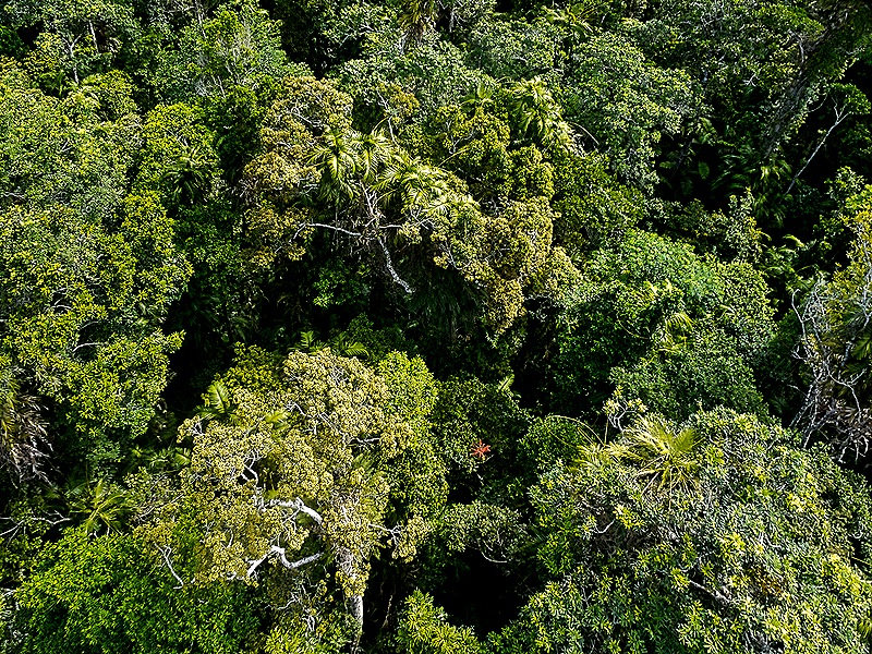
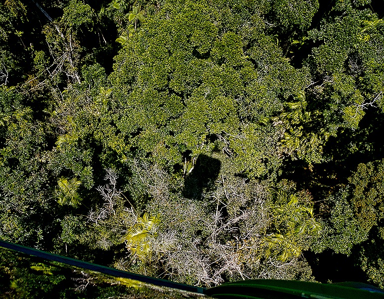
Climbing back onto the cable car we continued on, soaring over the canopy of densely packed tall trees below.
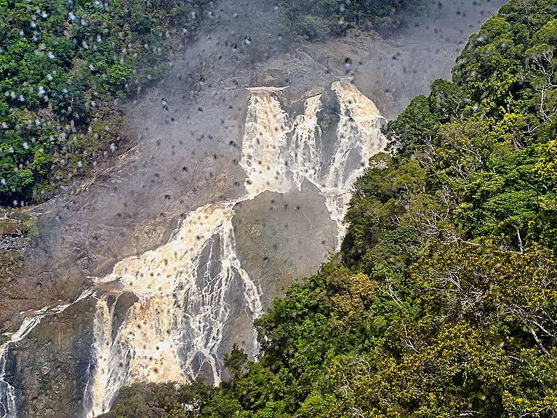
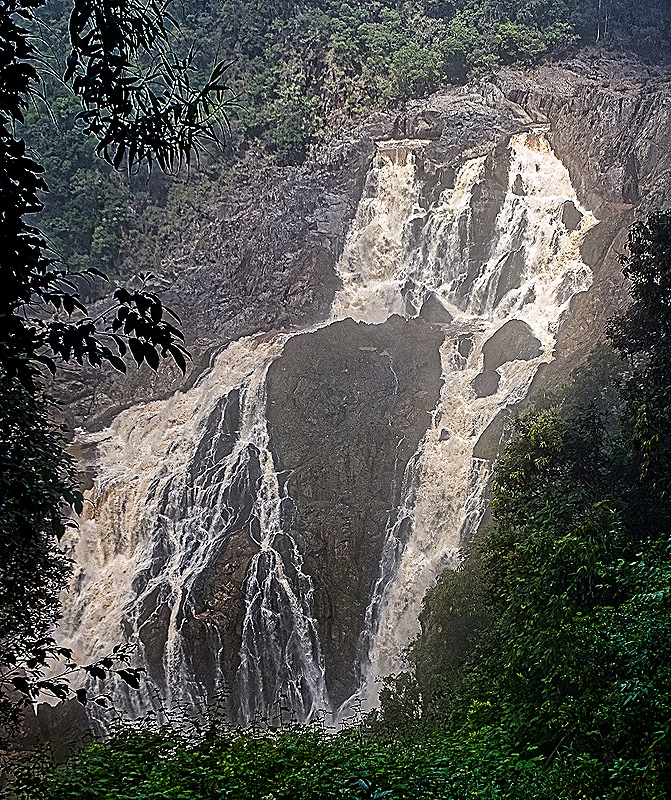
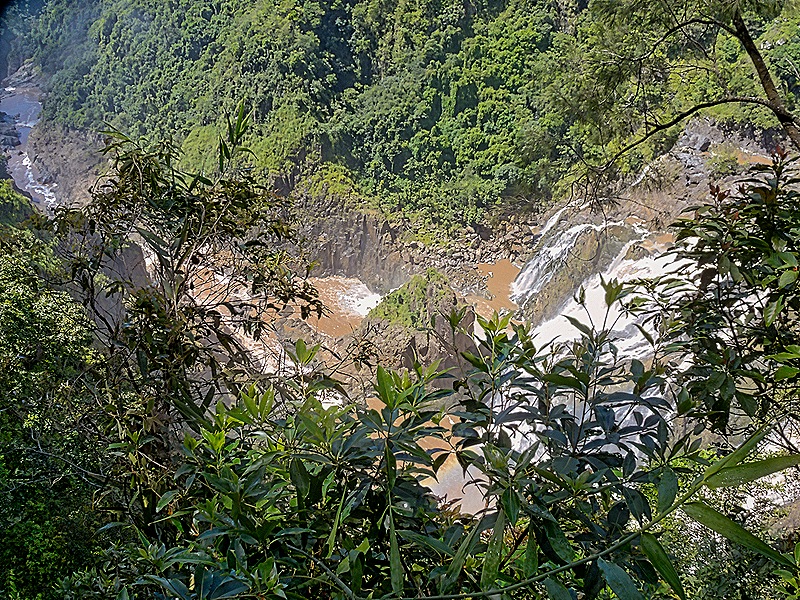
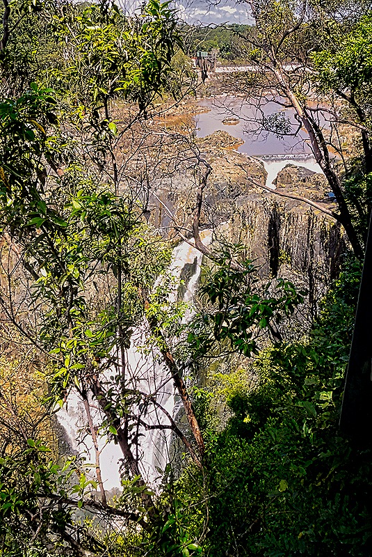
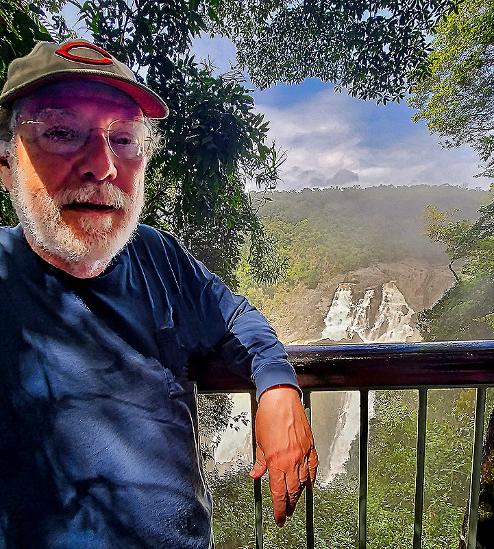
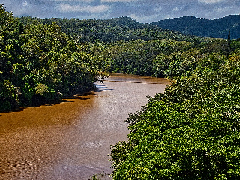
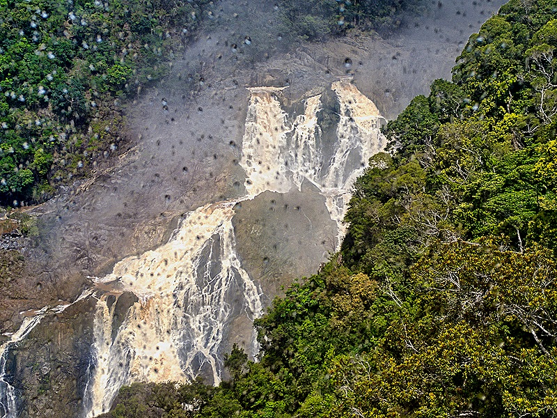
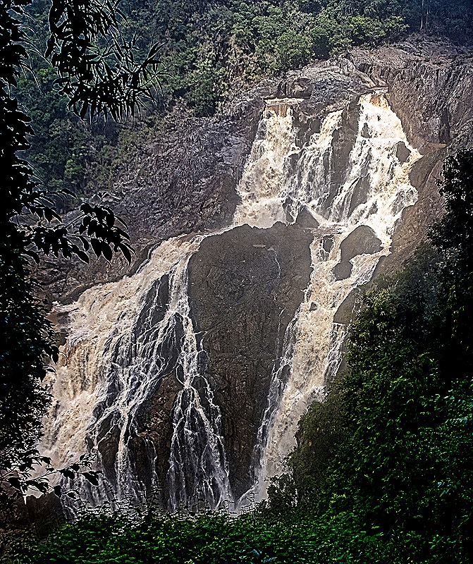
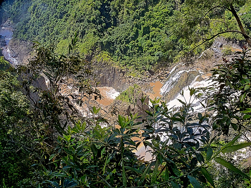
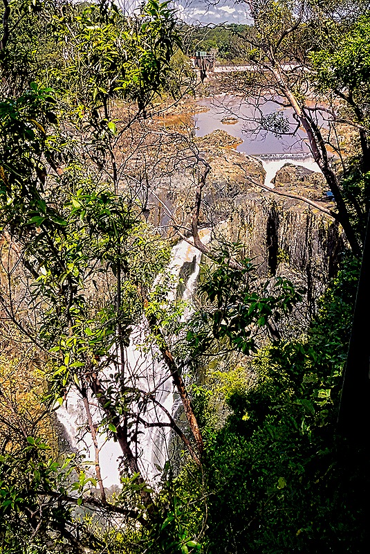
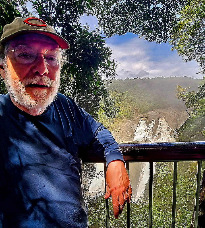
In the distance we could begin to see the 850 foot Barron Falls (called Din Din by the indigenous people) dropping water from the Barron River into the Barron Gorge below. There has been an underground hydroelectric power station above the waterfalls since the 1930’s. We were let out of the gondola again to explore another set of walkways that took us to several places with good views of the Falls. Most of the year the Falls have much less water than this but our visit was during the rainy season when the water flowing over the falls seemed plentiful. Still, we understand that following a substantial period of rain the flow can be much fuller and visitors standing where we did sometimes get a little wet. After we left the picture stop we passed over the reservoir of the Barron River upstream from the falls, created by the hydroelectric station diverting some of the water through its slower mechanism.
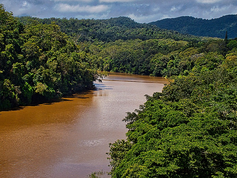
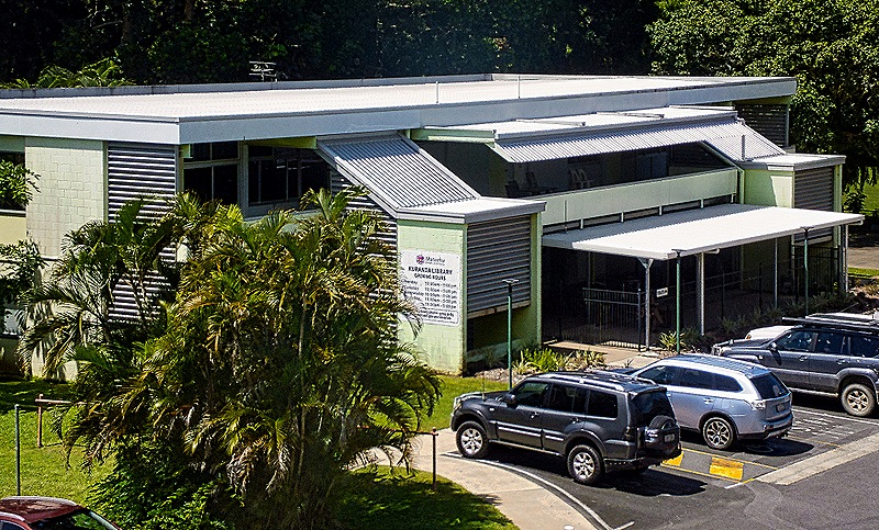
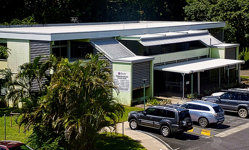
The cable car ride ended at a station just downhill of the town of Kuranda. Before we even reached the town we spotted the Kuranda library, which we passed over just before the end. The library opened in 1996, but it was too far from town to walk there during the time we had in Kuranda. The walk into town from the cable station was, of course, all uphill, but happily it was much cooler here than in Cairns yesterday, undoubtedly because of the elevation. The town is pleasant and quaint and we were glad to have some time to walk around (our friend Karen was on a different Kuranda excursion that had no time in town before having to go back because of some kind of mix up in the transportation arrangements). The town had a lot of open space and attractive flora.
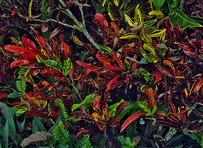
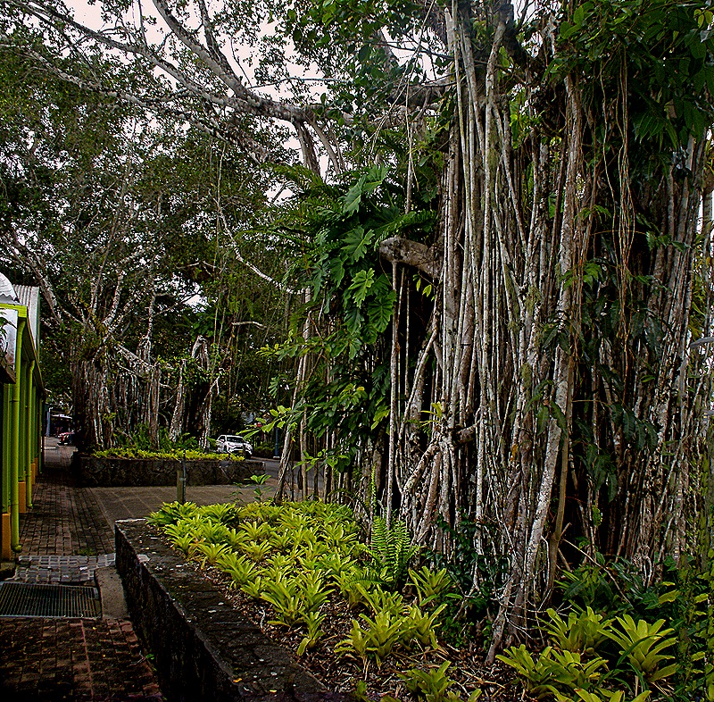
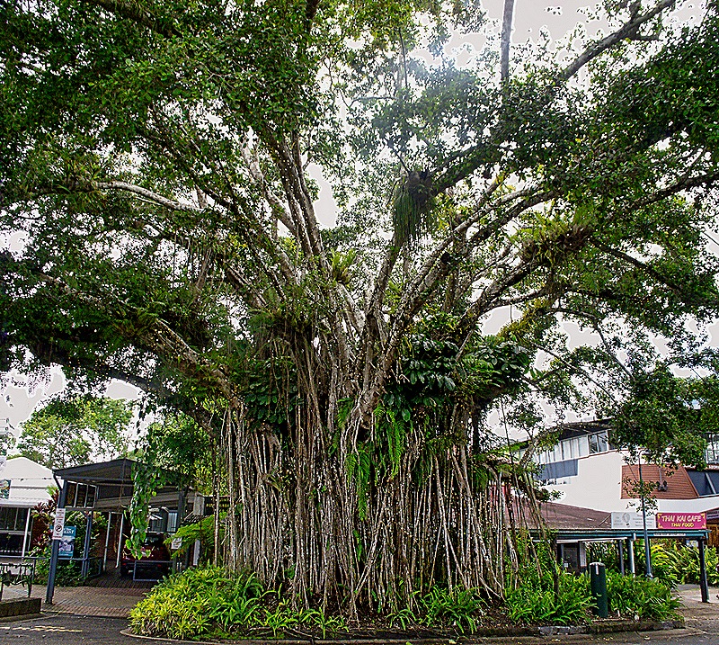
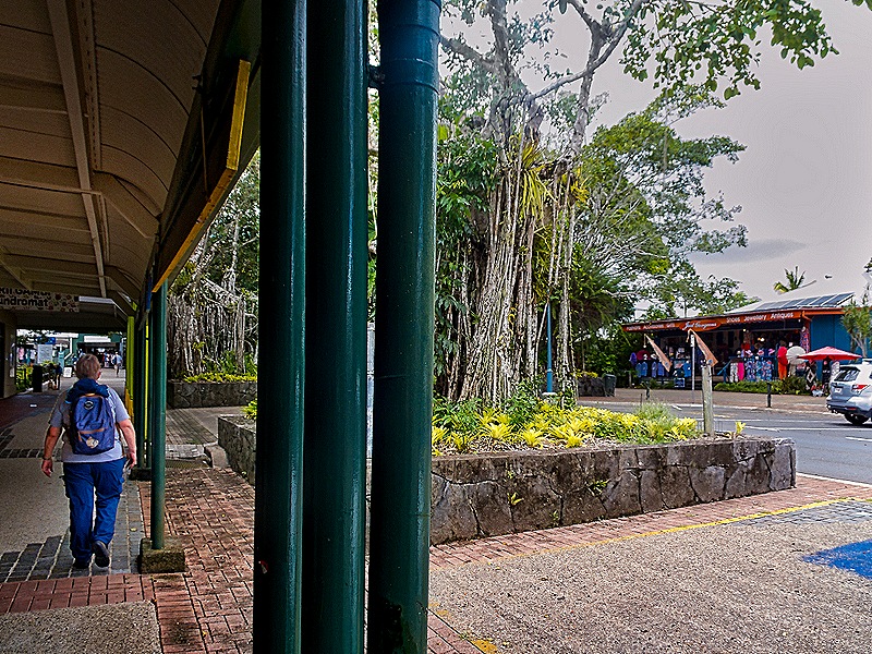
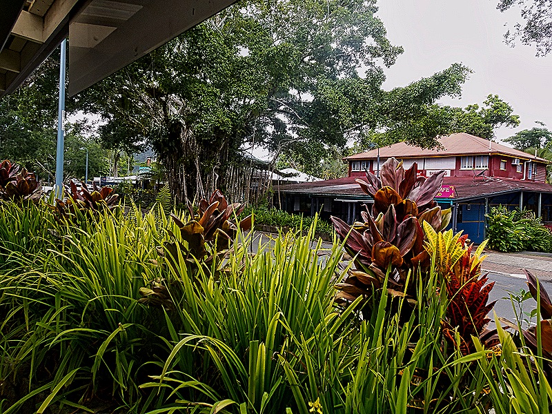
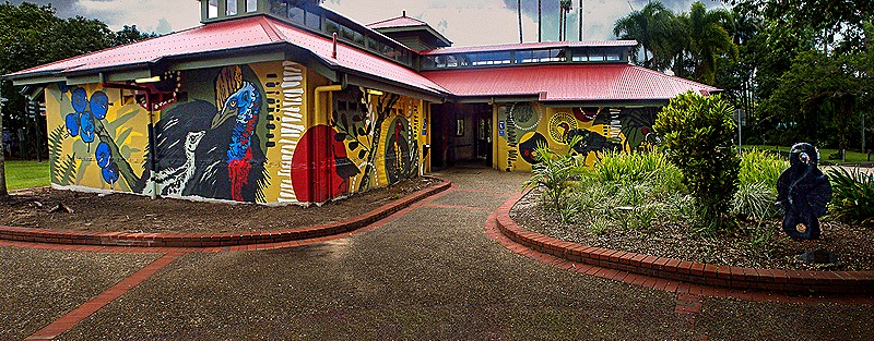
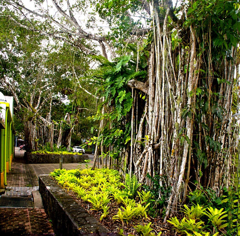
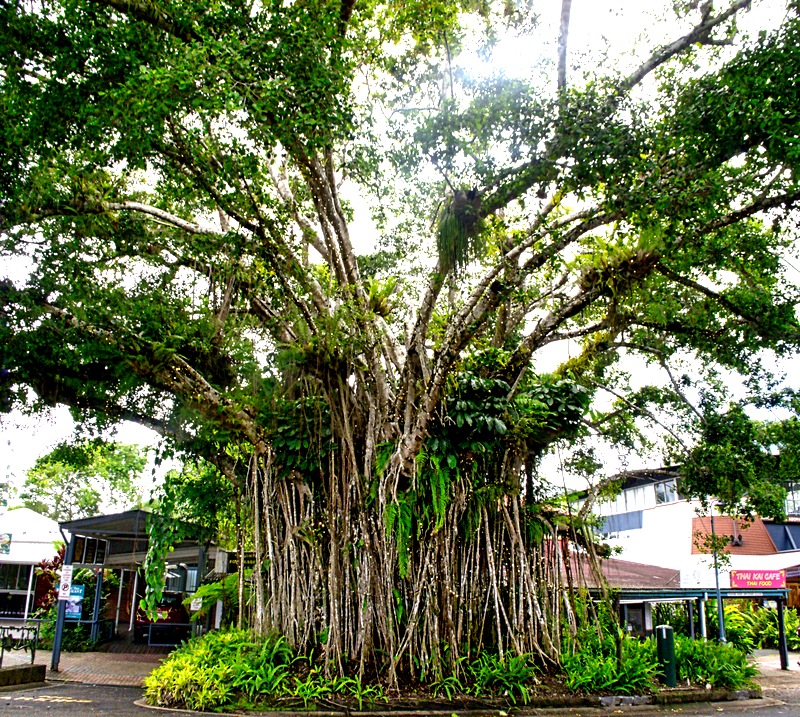
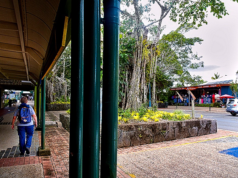
We walked around the town for awhile, visiting shops and galleries (including one selling very nice Aboriginal art, at prices far higher than the last time we were in Australia) and met the very helpful folks at the information center which had its own interesting display of regional art. One long, low building was covered in very bright paintings. We also walked down the Kuranda Fig Tree Avenue featuring 27 mature fig trees (including banyans) planted in 1931 on both sides of Coondoo street, the town’s main street. They make for a very pleasant shaded walk. There were some tourist attractions here, including a zoo, a “koala garden” and a “butterfly sanctuary,” but we didn’t see them.
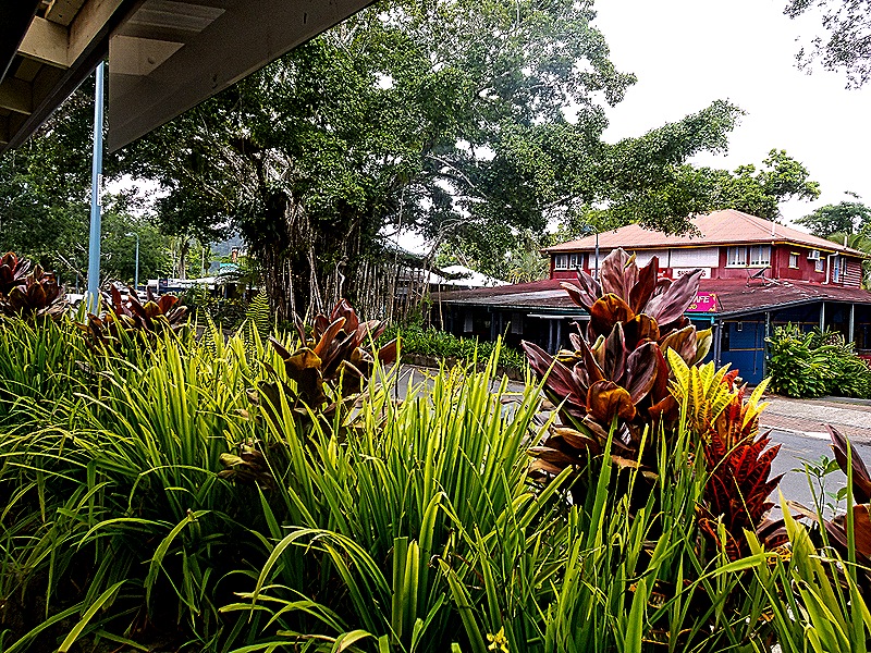
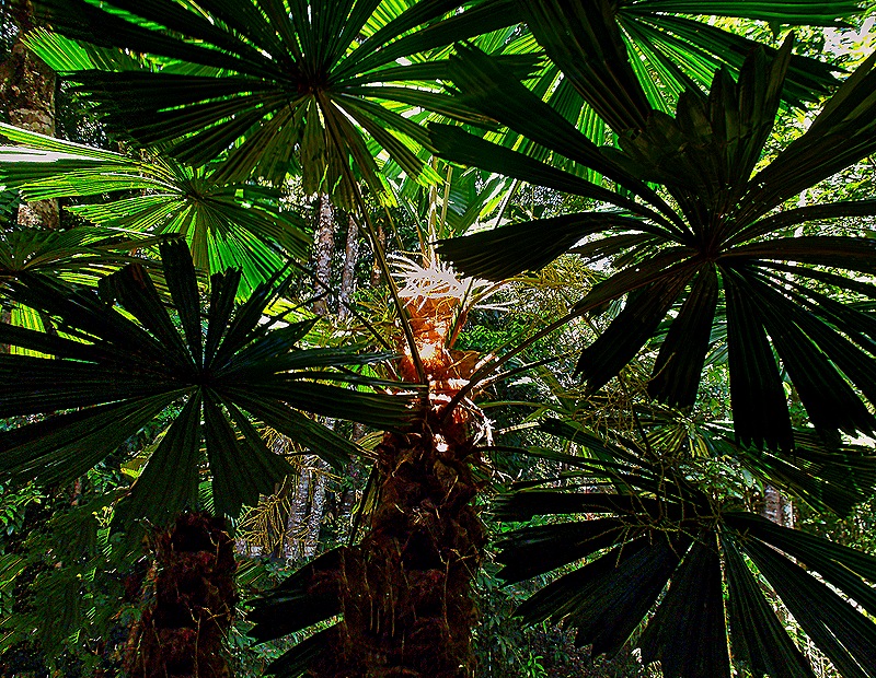
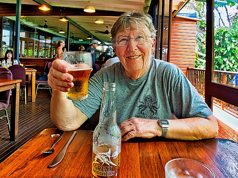
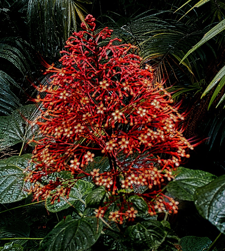
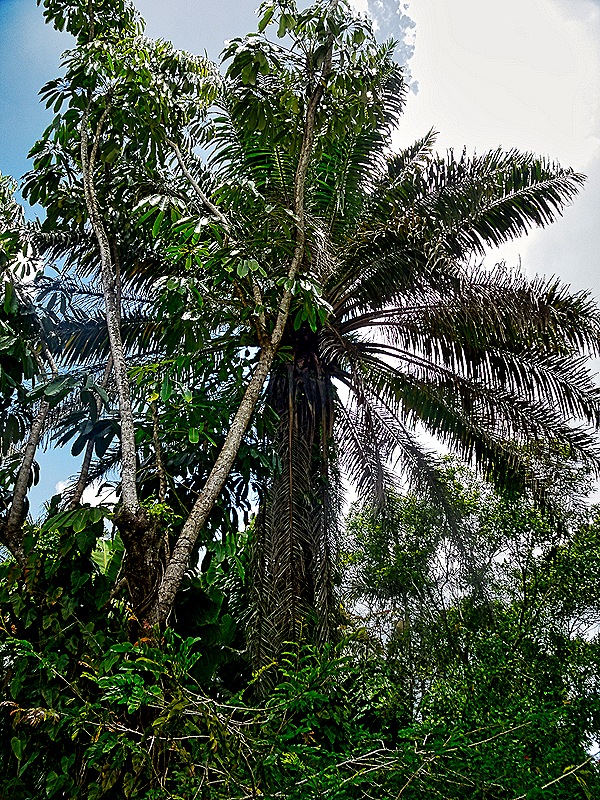
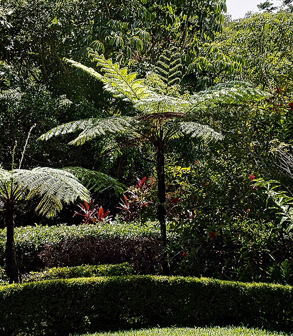
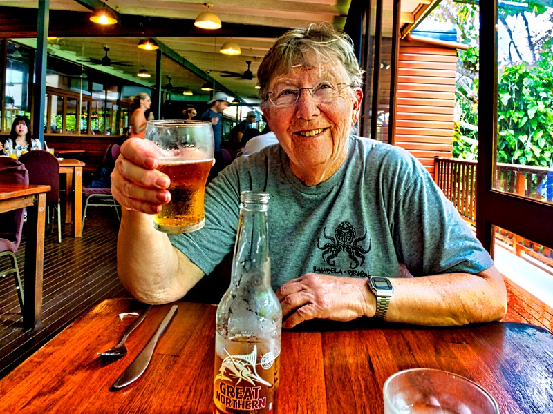
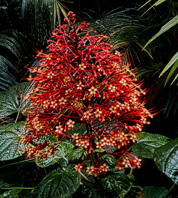
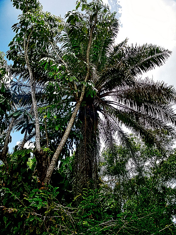
We stopped in a nice restaurant for lunch. We had a table next to a wall of glass doors in the back, which had a veranda with a nice view overlooking a hillside thick with flora. Rick stepped out and got pictures of a massive palm (or possibly fern) tree overlooking the veranda and a bush with orange flower stalks of a kind we had never seen before.
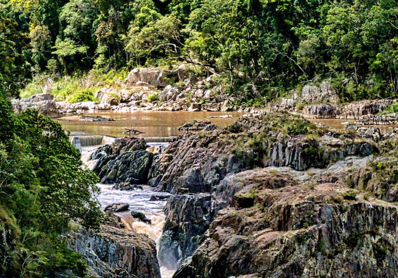
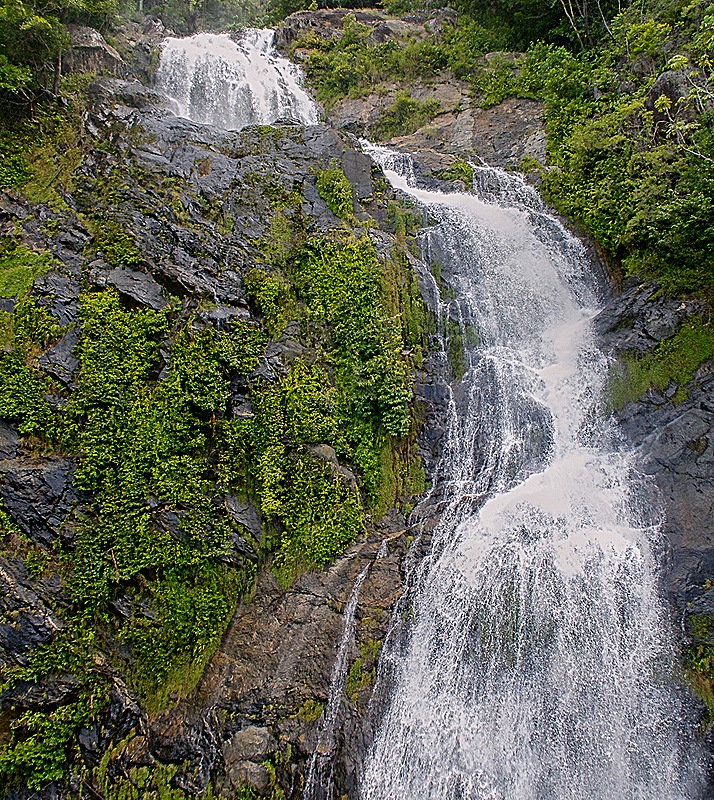
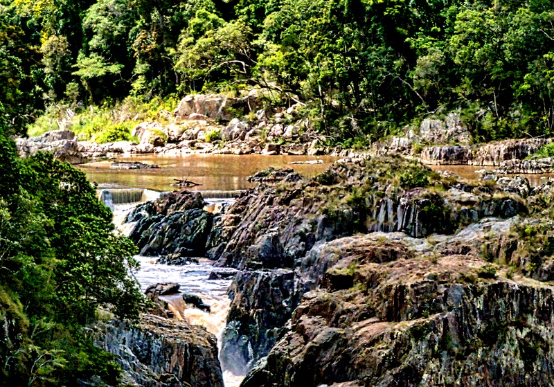
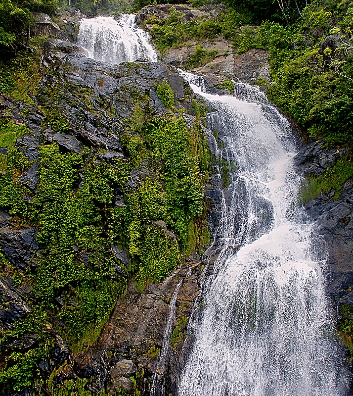
After lunch it was time to head back down to the railroad station. The station dates back to 1914 and sits in a “tropical garden” that has won a number of rain station garden competitions. The Kuranda Scenic Railway opened in 1891 and began carrying tourists in 1937. We sat near the tracks at the station until our train pulled up and we could board. It was a longer trip back on the train (about an hour and a half) than the trip up on the cable car, and it was pretty hot (no air conditioning) in the carriage (built around 1910) with only hard straight backed wooden benches to sit on. We have no pictures of the train or the station and didn’t have seats close enough to a window to take many pictures of the trip. But to prove we really did ride the train, here are two pictures taken through the window. The first is a nice view of the very top of Barron Falls, where you can see the water falling over the straight edge of what we think is the underground hydroelectric station’s apparatus just before running down into the falls. The second is of Stoney Creek Falls in the Barron Gorge, as we passed right in front of it on a trestle bridge. It was so close that the water seemed to be falling right under the train.
We sailed away that evening for five relaxing sea days before reaching our next stop.