
Uturoa, Raiatea 2026
We docked in Uturoa on the island of Raiatea on March 26, which turned out to be another gray day of clouds, drizzle and rain. Raiatea is the second largest of the Society Islands in area and the third largest in population (12,500) after Tahiti & Moorea. It is thought to have been settled originally by Samoans and Tongans who arrived by seagoing double hulled canoes perhaps 1,000 years ago (give or take a few centuries). The first European visitor was Captain Cook in 1769. Cook claimed the island for Britain, then 3 years later it was claimed by the Spanish. But the island remained uncolonized until France declared it a protectorate then annexed it in 1888. Today it is part of French Polynesia.
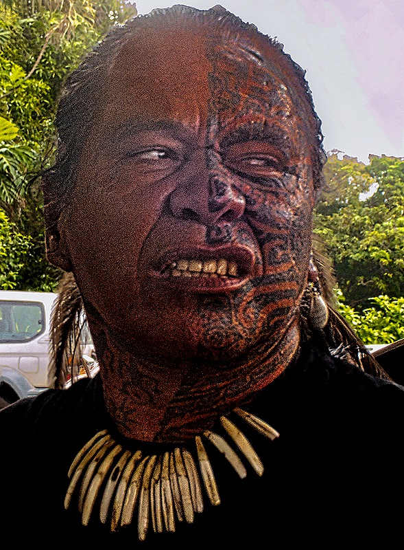
This was our first visit to Raiatea and we joined an excursion that would take us to the island’s primary landmark. Our guide was a native Polynesian who sported impressive tattoos and we were transported on a vehicle called “Le Truck,” which is a rather primitive sort of bus with no air conditioning, benches lining the walls under the windows and a narrow bench down the middle for extra passengers. The road runs mostly a bit inland along the shore, since the interior of the island is mountainous, and there were some nice vistas although the view was dampened by the grayness of the day.


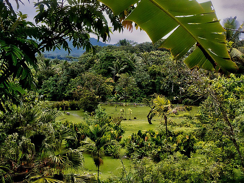
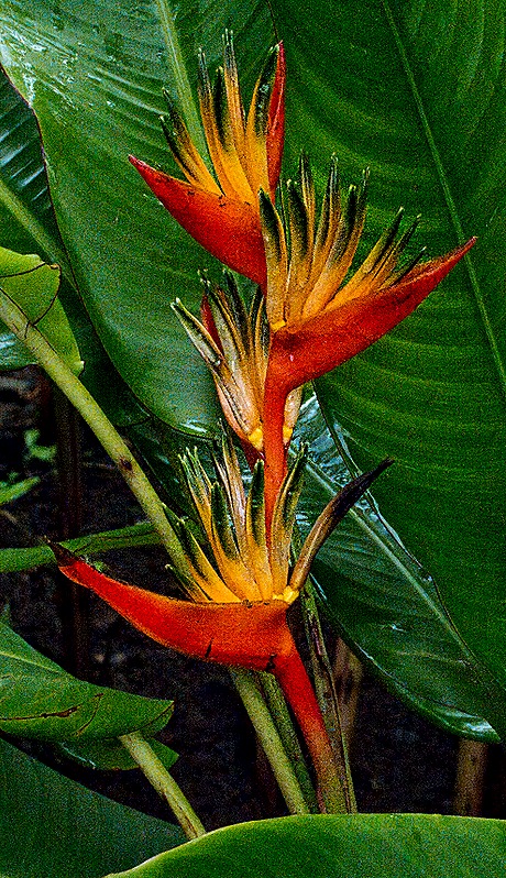
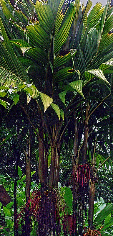
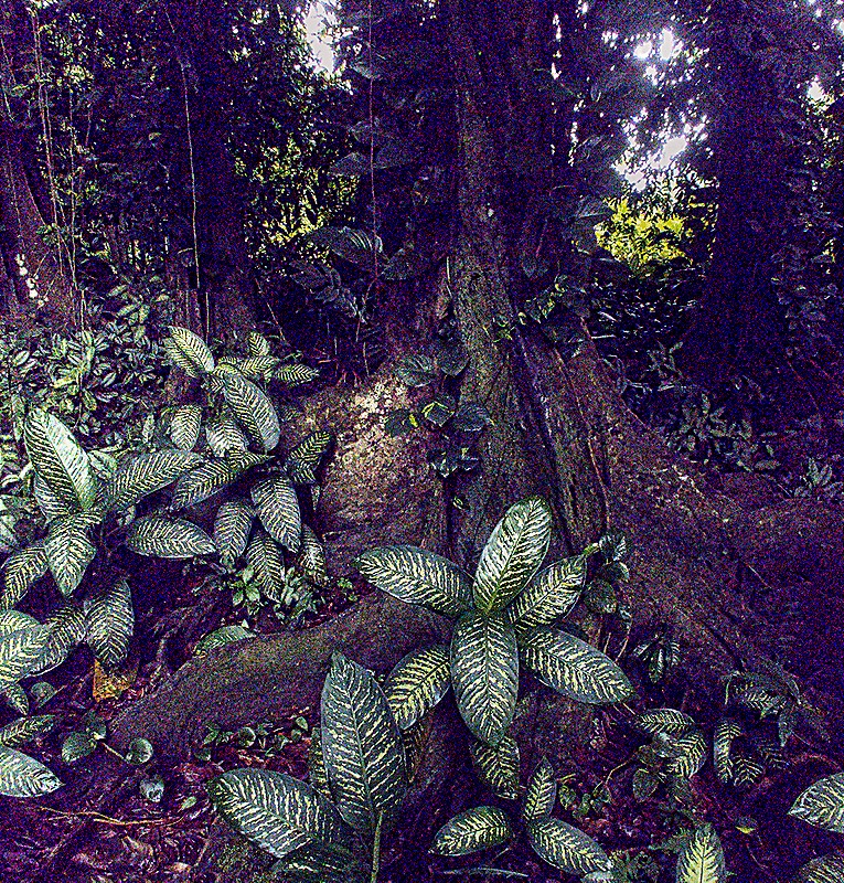
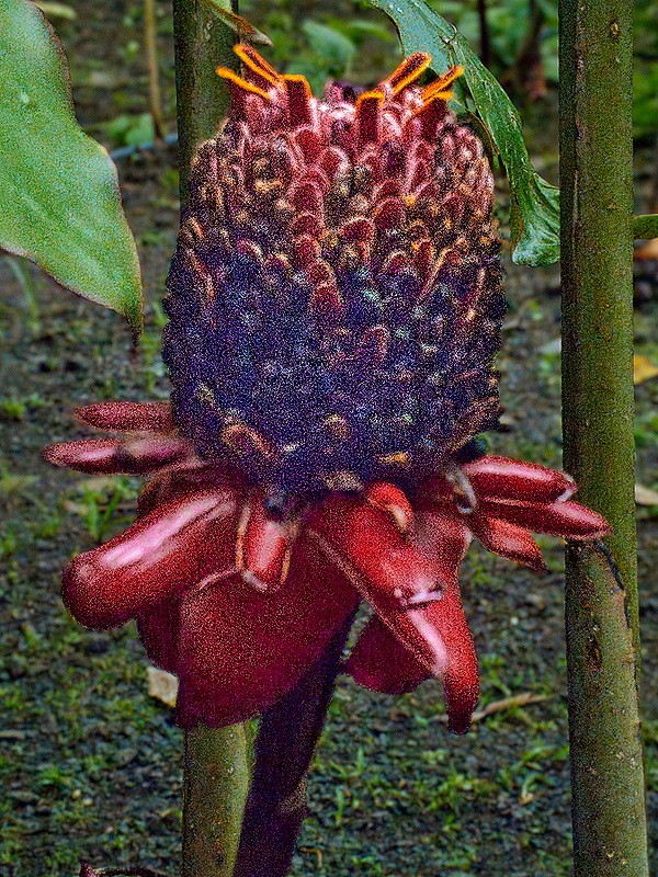
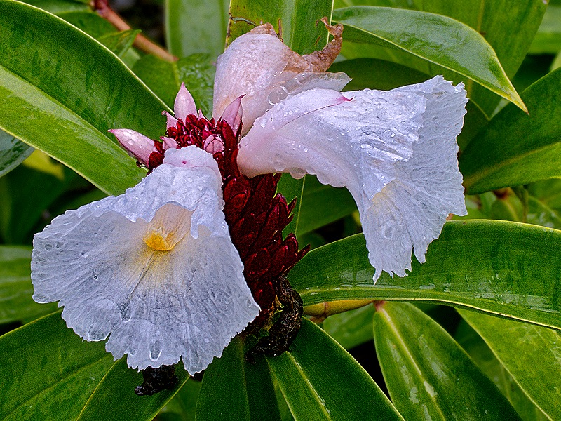
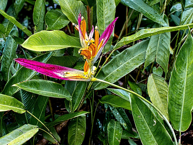
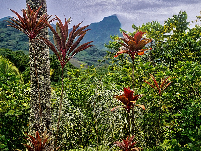
Our first stop, closer to our destination than to the port, was Le Jardin Botanique de Faaroa, Raiatea’s 9 acre botanical garden. It sits well below the road, so you have to walk down a fairly steep path, then there are a few paths to take you through the gardens and information boards identifying some of the plants. Then back up the steep path to return to Le Truck. We were given about 15 minutes to do all that. It was a pleasant walk with some nice vistas and colorful flowers. Although we didn’t see it during our short visit, the Faaroa River (the only navigable river in all of Polynesia) runs through this park.


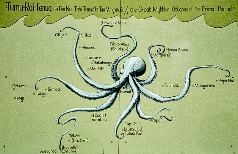
We drove on to Taputapuatea, an ancient religious complex near the village of Opoa. After exiting Le Truck we were given a brochure (unfortunately in French), some local fruit to eat and a brief introductory discussion of the site. A large poster was on display showing many of the islands in the Polynesian triangle stretching north to Hawaii, east to Rapa Nui (Easter Island) and southwest to New Zealand. The poster shows the islands as part of a mythical giant Octopus, called Tai Mata Tumuru’iao, which is its traditional symbol. In the center is Havaii (also called Havaiki), thought by many to be the original name of Raiatea. The tentacles are thought to represent established ocean paths used to reach these islands from Raiatea.

The reason Raiatea is depicted in the middle of the octopus is because this is where most of the ocean going canoes that discovered those islands are thought to have begun their voyages. The Taputapuatea complex, probably begun around 1,000 CE, is considered the most sacred place in Polynesia. It included several sizeable marae, stone platforms constructed of smooth rocks fitted closely together, which functioned as temples. The chiefs of other islands had their investitures here and representatives of many of the other islands would gather here for joint religious ceremonies and meetings of their political alliances. Ocean navigation was taught here at what amounted to an academy to train new generations of wayfarers in this incredible skill. Most of the seagoing double hulled canoes used to discover the other Polynesian islands left from here, after receiving religious rites. It was traditional to carry a stone from one of these marae to include in the first marae built on a new island, and often the new marae would have the same name as the one in Raiatea from which the stone came.
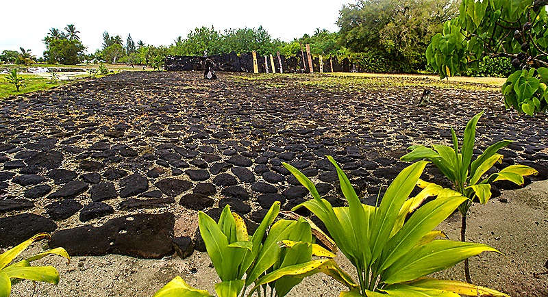
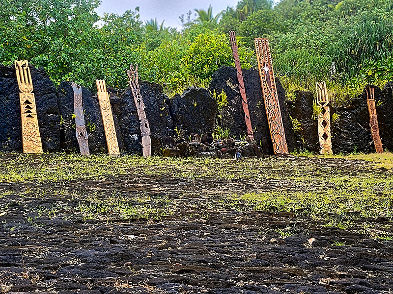
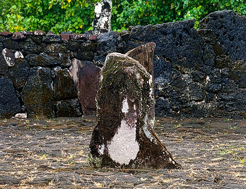
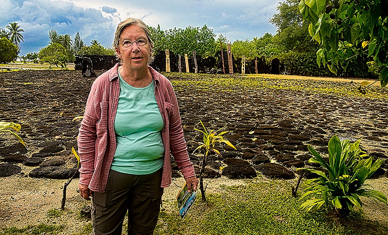
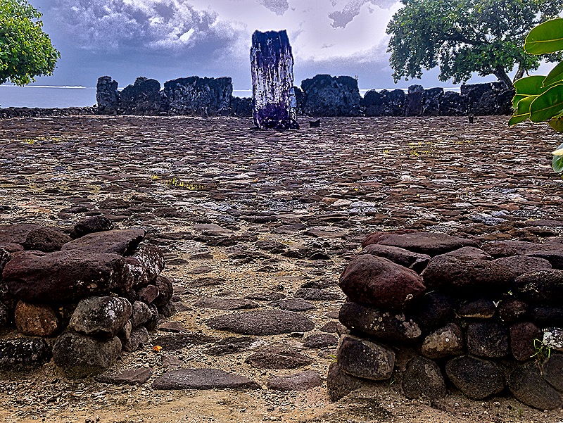
The first marae we visited was the largest, with the same name as the complex: Marae Taputapuatea. This is the oldest known marae in the Pacific and is considered basically the mother of all marae. As we understand it, this is where the large convocations and important religious rituals took place. Along the back edge in the photos you can see a raised platform called an ahu, separated from the floor by vertical stones that we think are coral. This probably served as an altar. The carved wooden figures, called unu, sometimes displayed genealogies of the chiefs who sat or stood by them, possibly using the vertical stones as backrests. Further toward the center of the marae is a differently shaped vertical stone with a white area near the center. We have read that this may have been used as a platform for religious sacrifices, including human sacrifices which are known to have occurred here, but aren’t sure whether this is accurate.


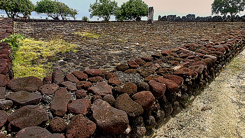
Marae Hauviri was also special because this is where chiefs from all the Polynesian islands came to be invested in office. The large white stone roughly in the middle of the platform, called Te Papatea-o-Ru’ea, was the investiture stone where the chief would be given a red feather girdle that was the symbol of office. Unlike the first marae we visited, this one has low stone walls around the platform.


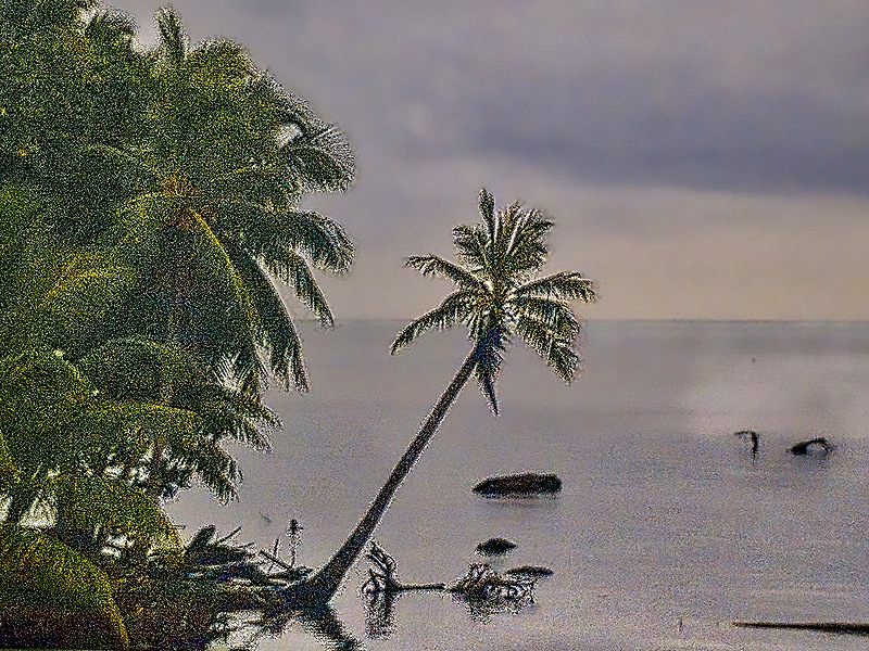
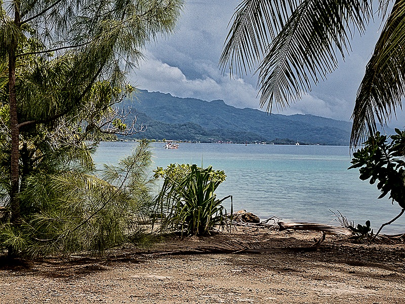
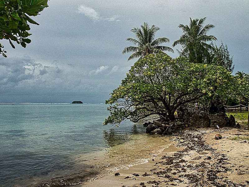
To the right of Marae Hauviri sits Marae Oputeina, which ends directly on the beach. This is where most of the wayfaring instruction took place and also the spot where the ocean going canoes left on their voyages and where the canoes carrying officials from outlying islands would arrive. Canoes would leave and arrive at Taputapuatea through a sacred pass through the lagoon reef called Te Ava Moa, which was thought of as the gateway to the ocean. Unfortunately, we don’t have a picture of this marae because we weren’t aware of it at the time. Our guide was more interested in discussing at length the spiritual feeling of this area to his ancestors than in explaining the layout to us and the signs in the area were mostly in French. We do, however, have a couple of pictures of the lagoon off the shore of the Taputapuatea complex through which the canoes approached and departed.


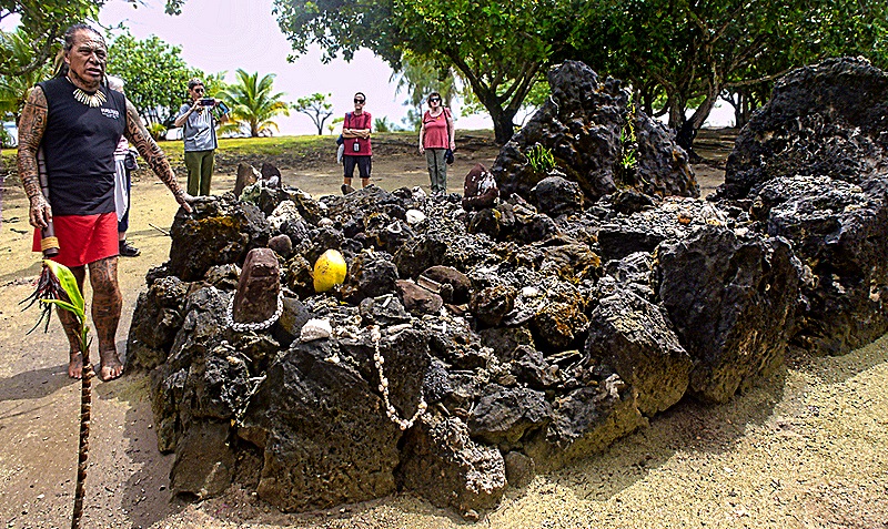
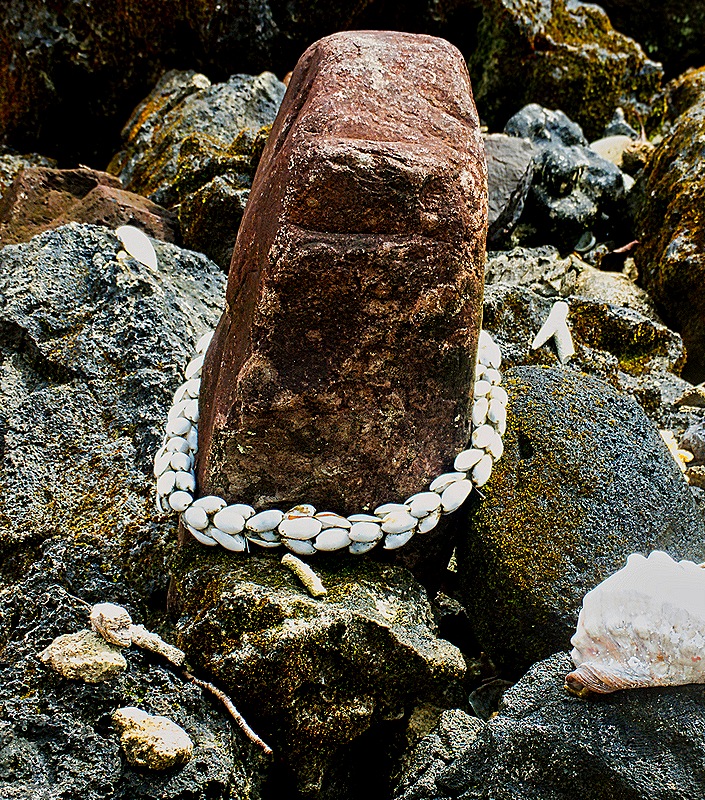
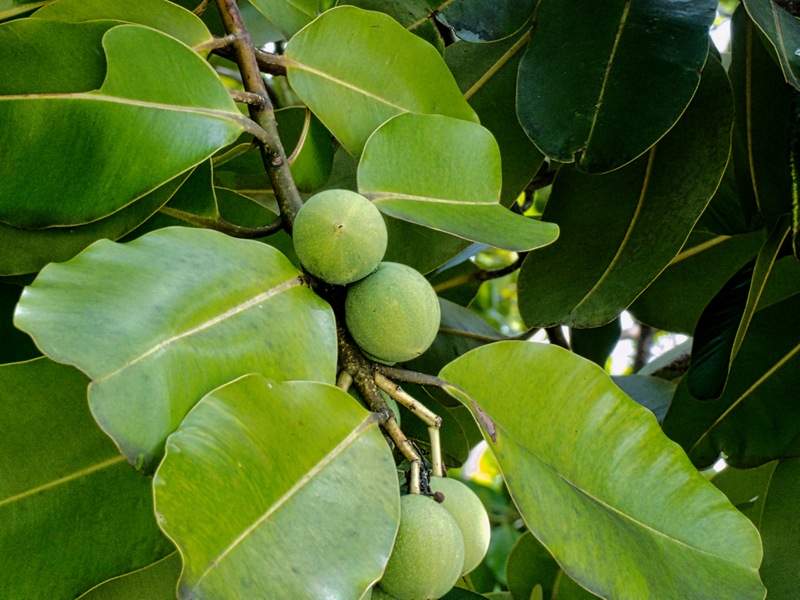
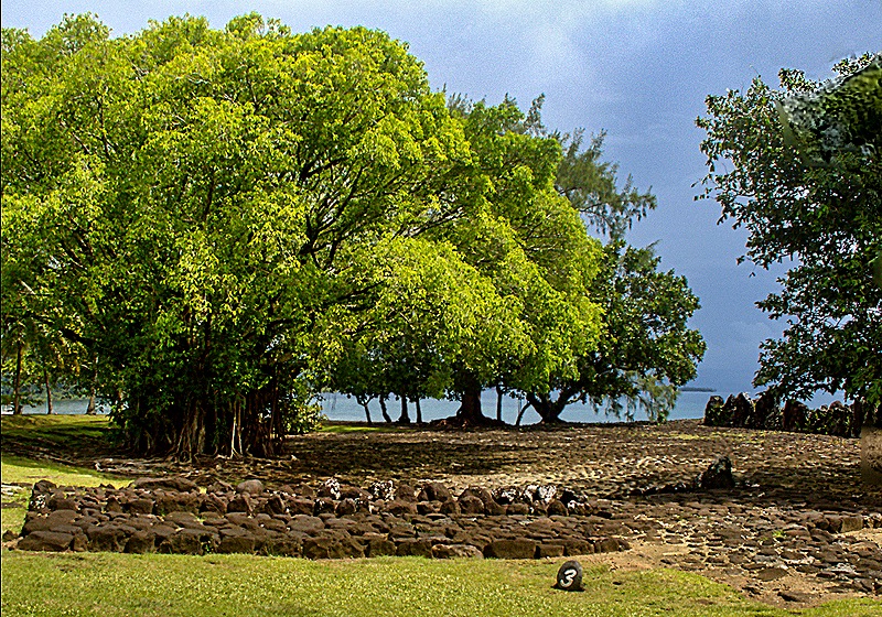
A few other things here seemed notable to us. First was a marae we walked past when leaving the complex, near the shore under a large Banyan tree. We are not sure, but think this is Marae Tau-‘aitu (or Hitatai), which was where some practices, foods or locations were prohibited (ie. declared tapu). Surrounded by large trees and the ocean it was a very nice spot. The other was what looked like a pile of volcanic stones on which was a variety of offerings, including shell jewelry, stones and some food. We don’t know any more about it, although our guide was standing there for a while so he might have explained something about it before we arrived. Our guide pointed out to us the Tamanu trees growing around the complex. The Tamanu was a sacred tree that was planted at this site for that reason. Its reddish wood is rot resistant and was used for carving tiki (sacred sculptures) and also made into keels for ocean going canoes. The almond-like nut that grows inside its round fruit was used to dye tapa cloth and its oil is still used for medicinal purposes.


The sacred Taputapuatea complex was expanded and renovated at least twice, in the 14th and 18th centuries. Originally dedicated to the creator god Ta’aroa, at some point it was converted to the worship of ‘Oro, the god of life and death and war. In the 1760’s Raiatea was attacked by invaders from nearby Bora Bora who pillaged the island and wrecked the Taputapuatea complex. In 1769 Captain Cook’s expedition arrived and in the early 1899’s Christian missionaries arrived and the old marae complex fell into disuse. Restoration was begun in the 1960’s and greatly expanded in the 1990’s. The structures have been restored to their original form, based upon historical documents and archaeological research, using mostly original materials found in the complex and the surrounding waters. For example, the large white investiture stone in Marae Hauviri was recovered in the water nearby. In 2017 the complex was named a UNESCO world heritage site.
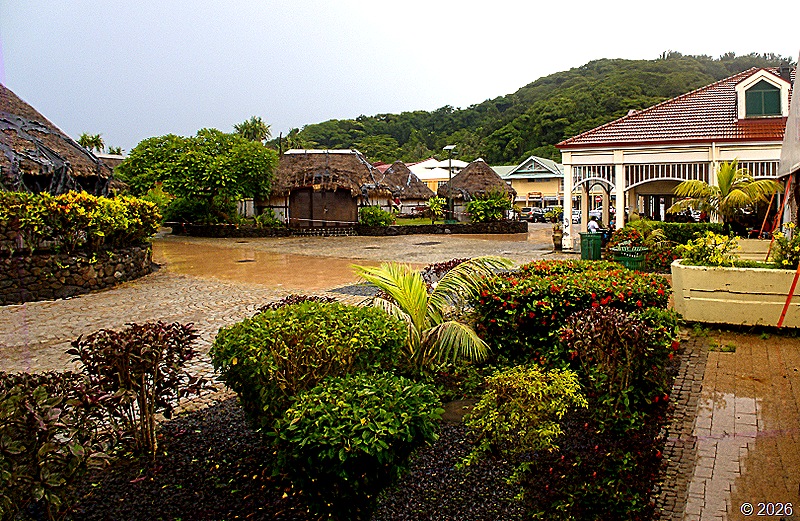
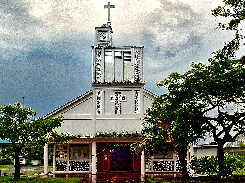
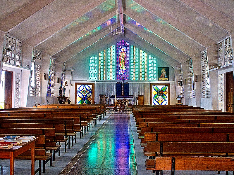
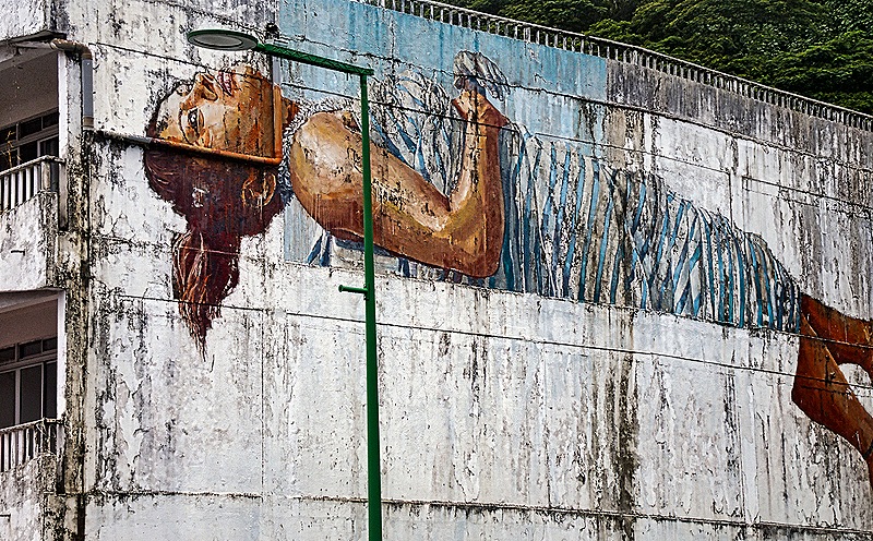
Leaving Taputapuatea we drove back to Utoroa along the same road used to get here. As mentioned, it was a gray and cloudy day so the usual ocean vistas were not really visible, but there were some colorful bushes and plants along the road. Uturoa is the largest town on Raiatea with a population of more than 3,500 and is also the capital of the island. Zaandam was docked here because it is the only deep water port on the island. We have read that Bora Bora and Huahine are both visible across the water from Uturoa but we didn’t see that because of the dark and cloudy weather, although on our first visit to Bora Bora we had a nice view of an island we think was Raiatea across the water. Back in Utoroa we visited a few stores with local art and handicrafts, the best of which was a large (a foot or two long) wooden sculpture of a centipede . . . accompanied by a “no photographs” sign. We understand that centipedes are a widespread hazard on these islands. Unfortunately it cost more than we wanted to pay and was too big for our luggage anyway (sour grapes?). Walking through the streets we saw an impressive bit of wall art decorating the third floor of an apartment building and we visited a local church of some repute called Eglise St Andre, which was quite ordinary but had some nice stained glass windows. It was closed but we took a picture through a window.


So ended our visit to Raiatea and the final excursion of this lengthy voyage. No more busses, yay!
 RSS - Posts
Leave a Reply