Kiriwina Island, Trobriand Islands, Papua New Guinea 2026
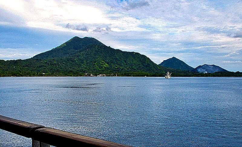
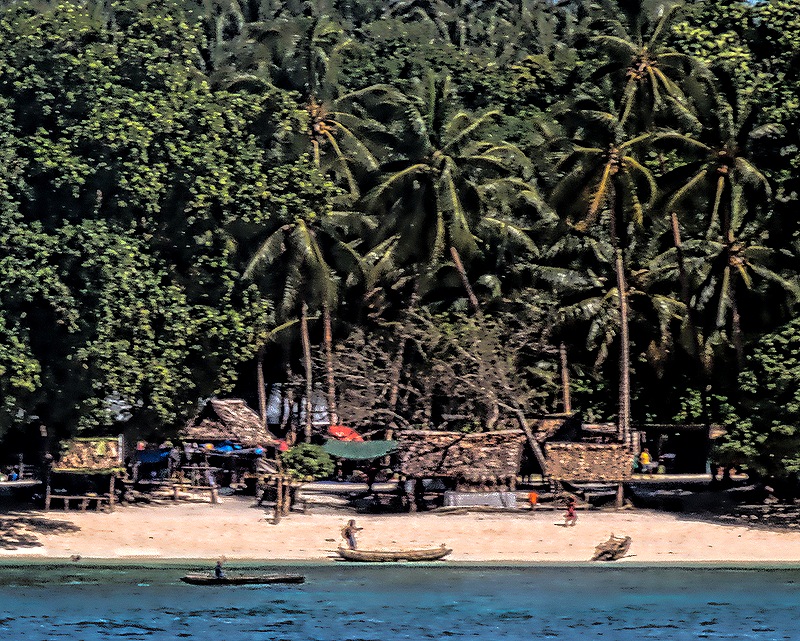
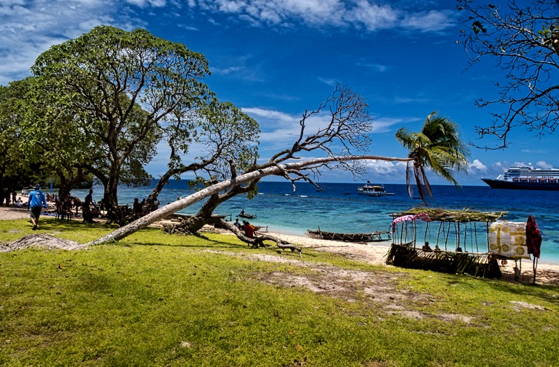
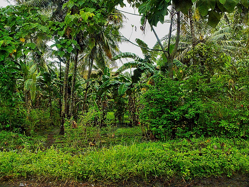
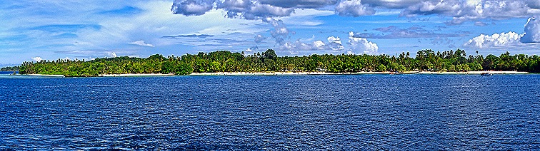
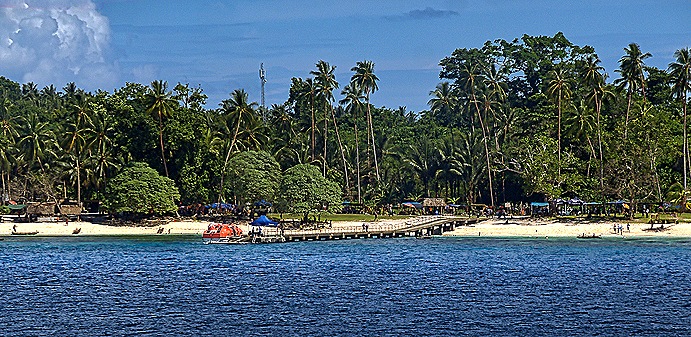
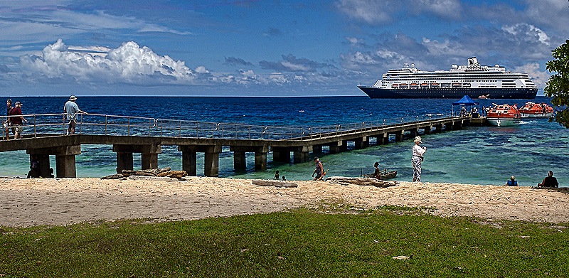
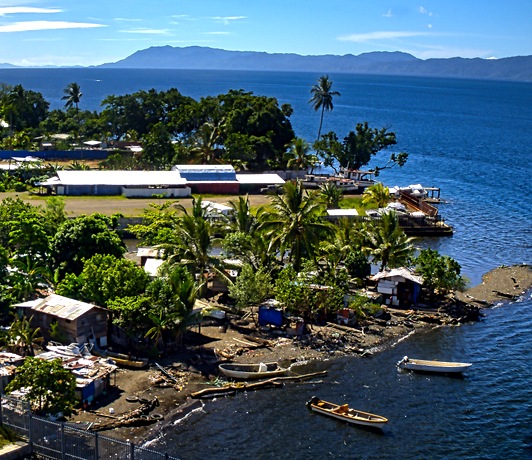
February 6 found us anchored within sight of beautiful Kaibola Beach on Kiriwina Island. It has a small pier for tender boats but beyond that it is mostly white sand, very clear water and dense forest. No town was in sight and no tours or excursions of any kind were on offer. Notably, an Australian couple who had lived here for several years were among the lecturers on board but for some reason HAL did not have them do a presentation about this island. We had breakfast with them in the morning before our visit and they were as puzzled about that as we were. So without much information or assistance from the cruise line it was a matter of tendering in, then seeing what there was to see.
Kiriwina is the largest of the Trobriand Islands, an archipelago that is within the Milne Bay Province of New Guinea, the capital of which is Alotau which we visited yesterday. Most of the 60,000 or so people (estimates vary widely) living on the Trobriand Islands are on Kiriwina. The first European visit to the Trobriands was in 1793, when the islands were named after an officer on that French ship. The first European settled here in 1894 and before World War I the Australians had established a government facility. The Trobriands became much better known to the outside world during the 1920’s through the publications of anthropologist Bronislaw Malinowski, who lived here and studied the unusual culture during World War I.
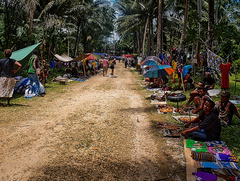
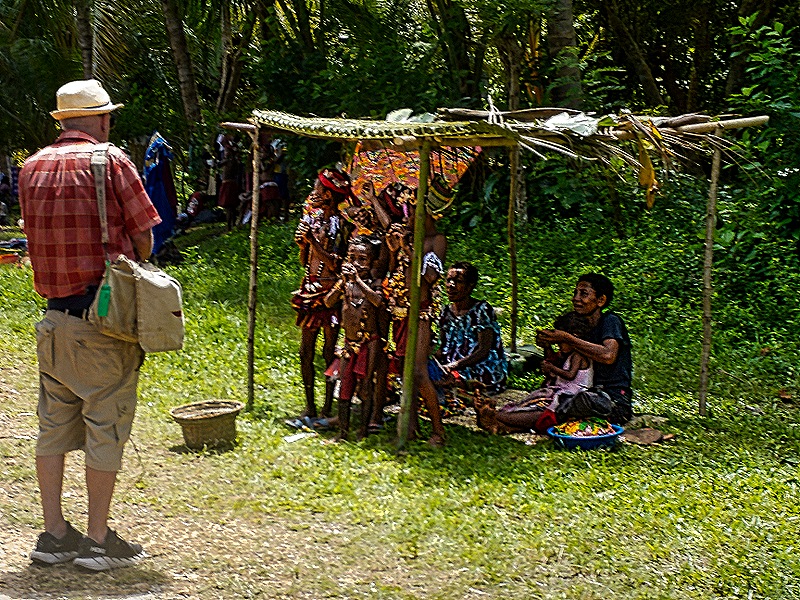
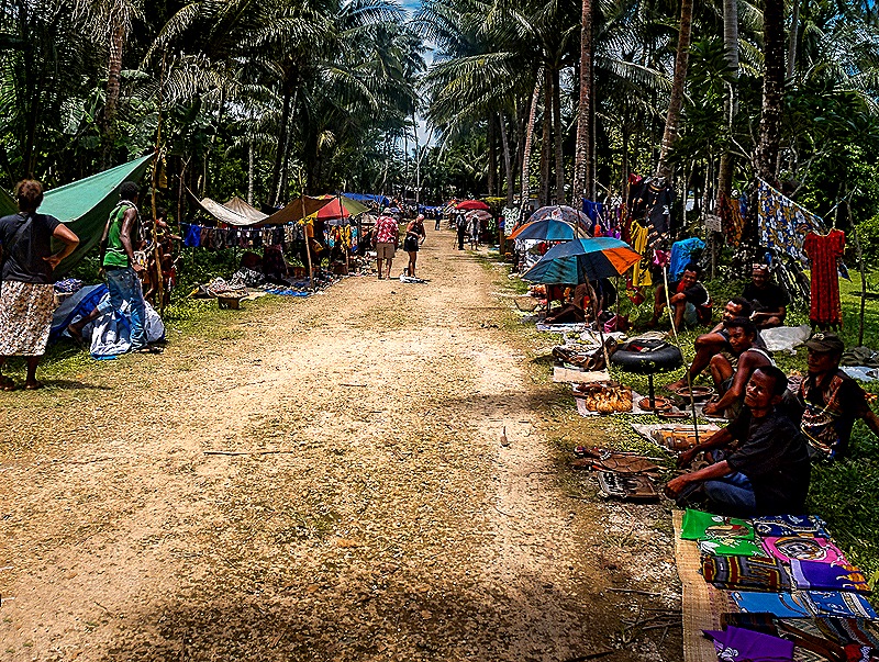
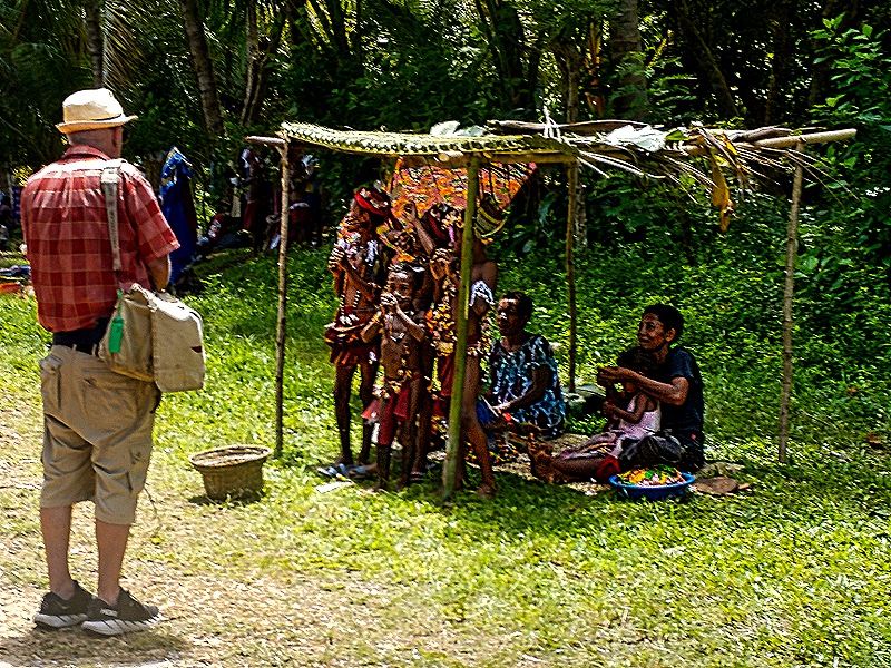
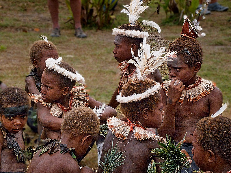
We tendered to the island in mid-morning. The word clearly was out among the islanders that a cruise ship would be there because the dirt roads in the area were lined with hundreds of vendors displaying their wares (mostly wood carvings and clothing), usually on a mat or blanket on the ground. Some had children dressed in traditional attire who posed for photographs. Other children were jumping off the tender pier as we walked past them. The Trobriands are known for elaborate wood carving and there were many examples on display but most of the designs were similar from vendor to vendor so it was difficult for a visitor (or at least these visitors) to tell which were authentic items made by islanders and which (if any) were imported from elsewhere (most likely China). The items we liked best were too big to take home on a plane from San Diego and we did not have any local currency, which is strongly preferred, so we ended up looking but not buying. We have read that some visitors have found vendors here to be aggressive but we did not. We understand that many of the local people one meets here on cruise ship days come from neighboring villages and even neighboring islands.
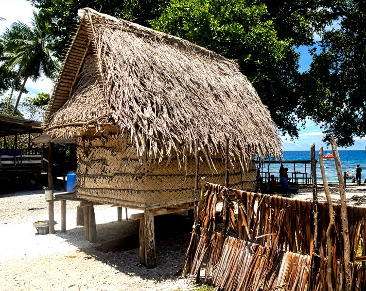
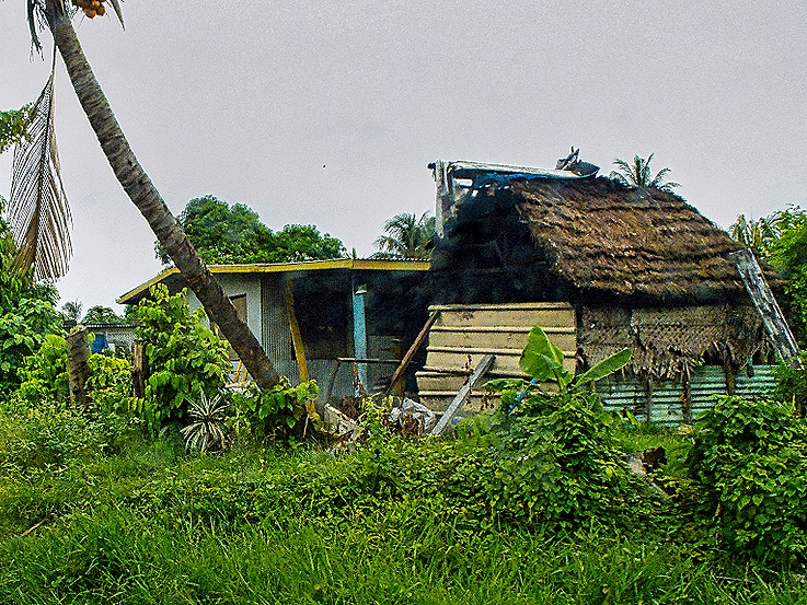
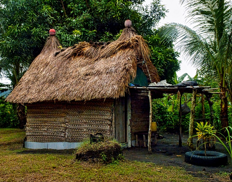
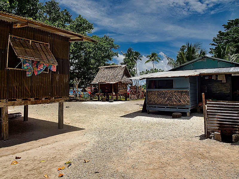
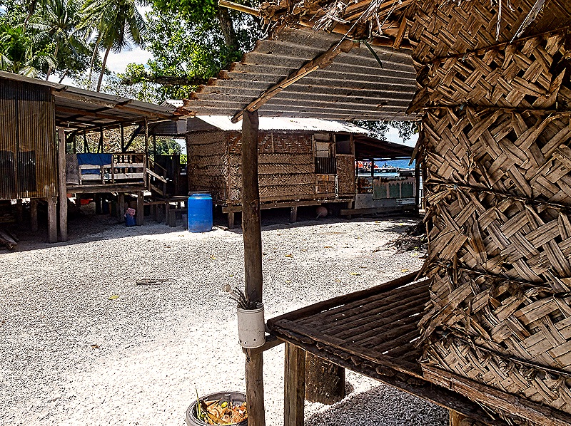
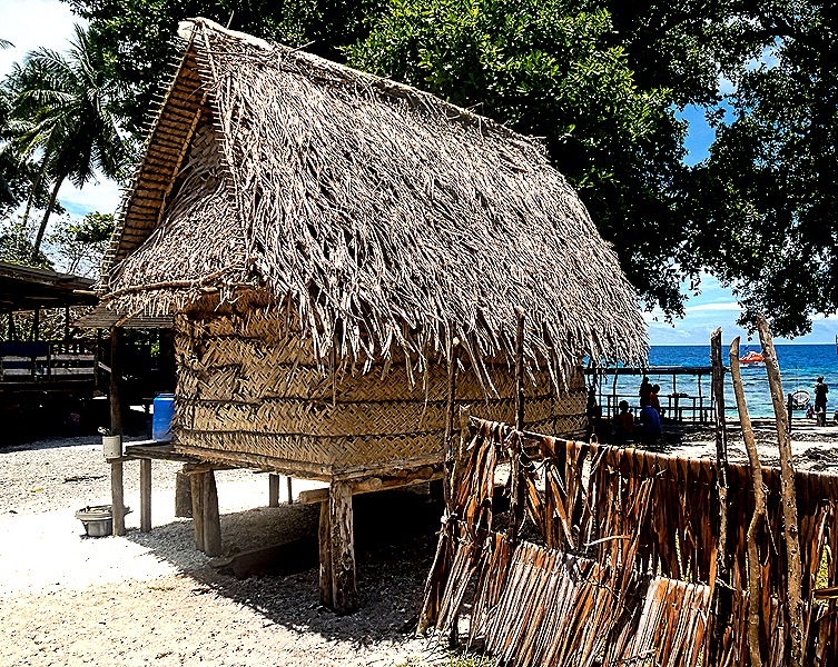
We walked through a thatched hut village not far from the pier. It looked real enough and probably was representative of how many people on this island live. But we didn’t see anybody acting like they lived there, so it could be a demonstration village rather than a living one. If so, it was still interesting.
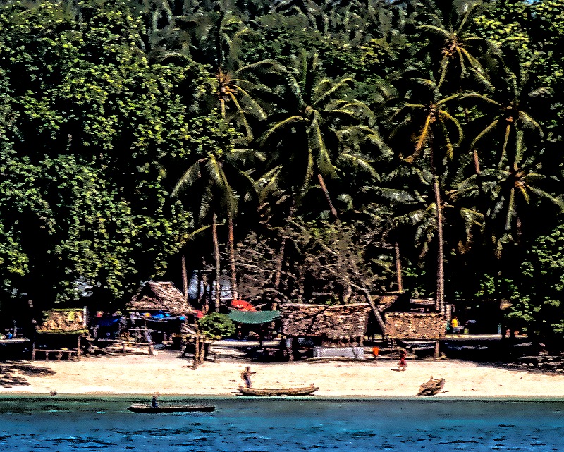
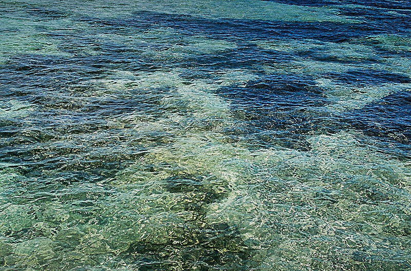
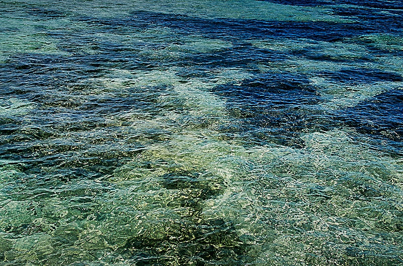
The main attraction here, however, was undoubtedly the beach. The ocean water was extremely clear and the bottom was always clearly visible. There were a number of young men with boats on or near the shore who were probably there in the hope of finding a paying passenger to take out on the water or perhaps to a village in the area. It looked enticing but kind of uncertain and again, we had no local currency anyway. Many trees were growing right by the beach, which was a great respite from the very hot sun.
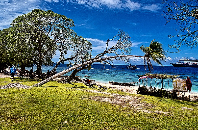
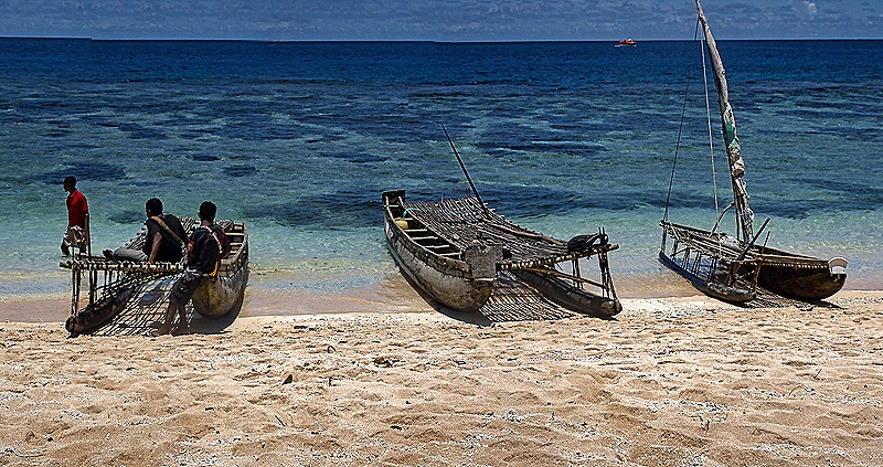
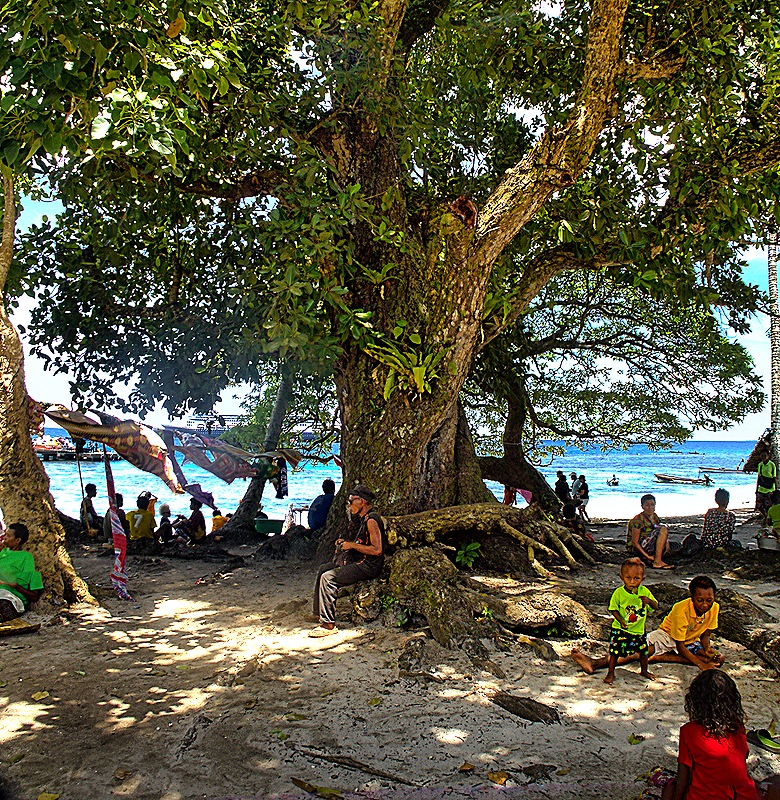
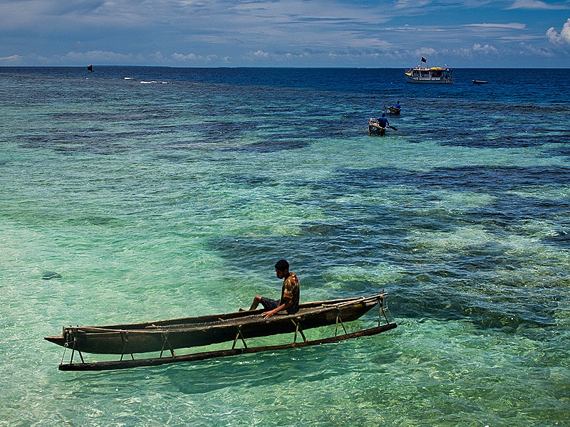
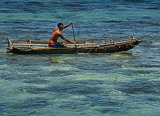
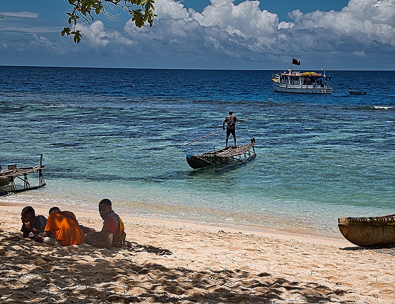
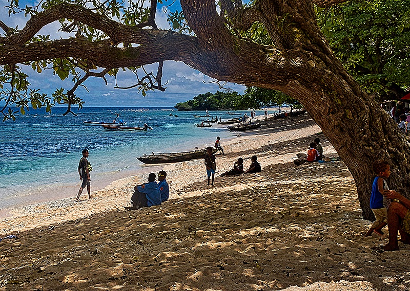
After two or three hours we were done in by the heat and humidity so we walked back to the tender pier and returned to the Zaandam. As this was our last island visit in the first part of this voyage we sailed away this evening toward Australia.
Alotau, Papua New Guinea 2026
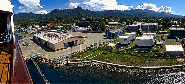
On February 5 we were in Alotau on the point of the New Guinea Peninsula, the easternmost spot on the island of New Guinea. The town was established in 1968 to serve as the administrative capital of Milne Bay Province. Today its population is around 15,000. Our excursion left later in the morning so we went up to the top deck to see what the area looked like. It was mountainous with a green tropical ambiance.
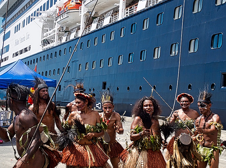
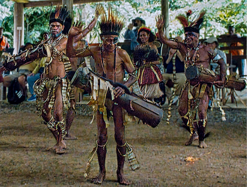
AS we left the ship for the excursion a dance group was performing on the dock. It is always fun & interesting when this happens.
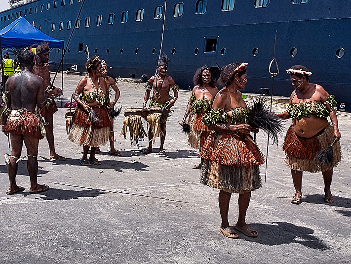
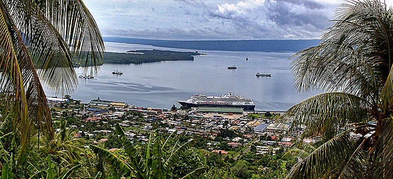
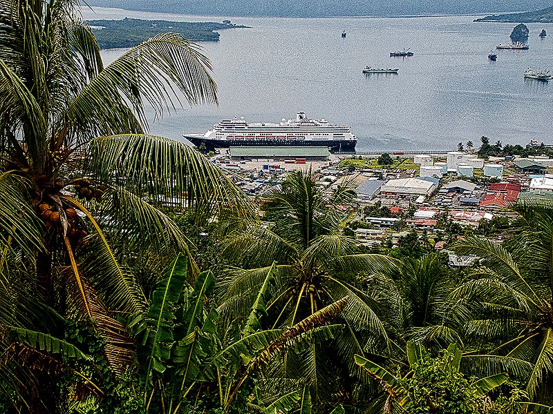
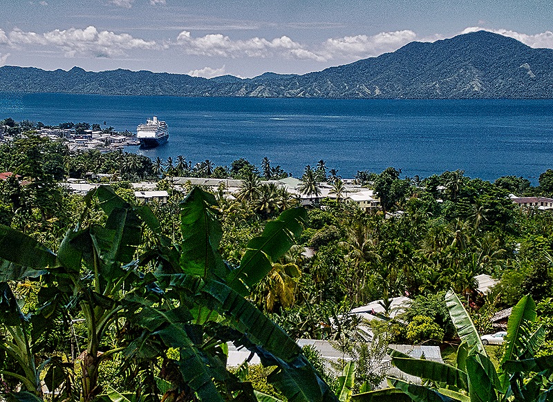
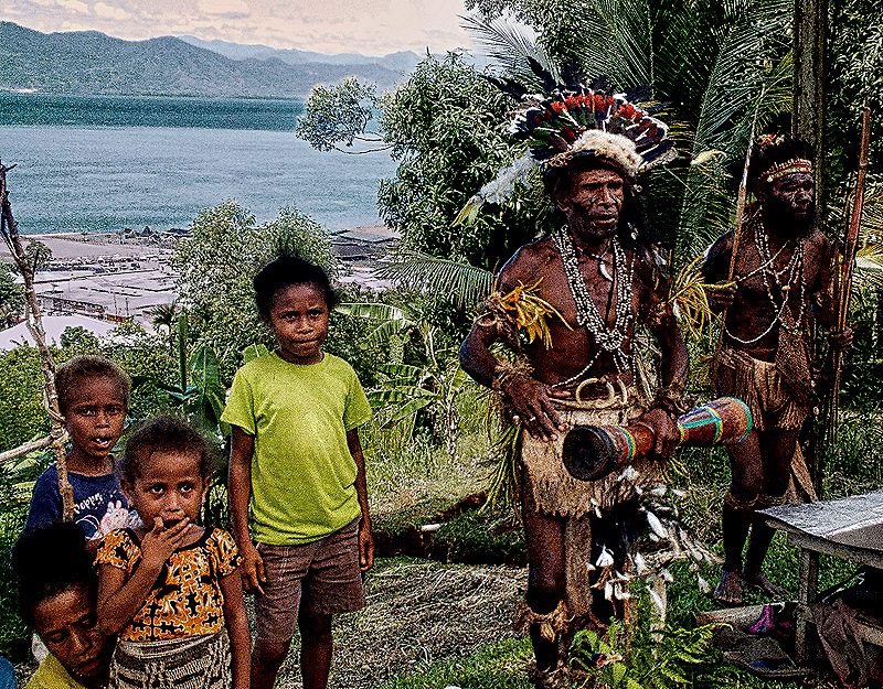
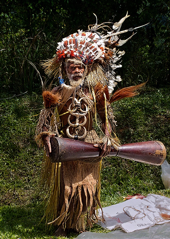
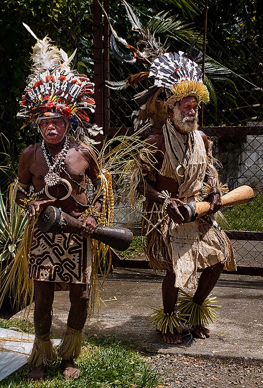
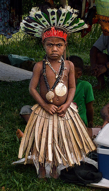
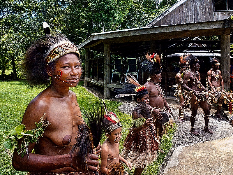
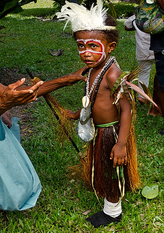
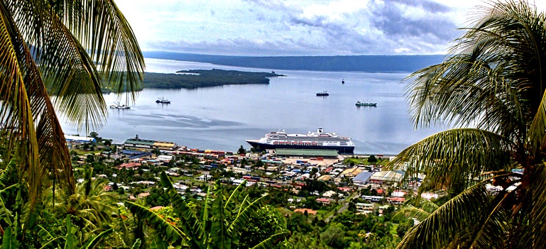
Our first stop was on a hill at a spot where a number of vendors were gathered, along with some folks dressed in traditional indigenous attire. This might have been a place called the Top Town Lookout, which certainly offers a great view of the town, Milne Bay and the mountains beyond (and on this day the Zaandam). People were friendly and the traditional clothing was very striking. Our guide, Rhoda, explained to us that under the matrilineal societal structure here men must have permission from the female head of the family for any financial or land transactions.
Back in the town we visited the main market, a large covered but open-air space full of small scale vendors selling fish, produce and handicrafts. Many local people were shopping here and we understand it is a place for community interaction as well as commerce. We were told that most people in this area shop daily for fresh produce.
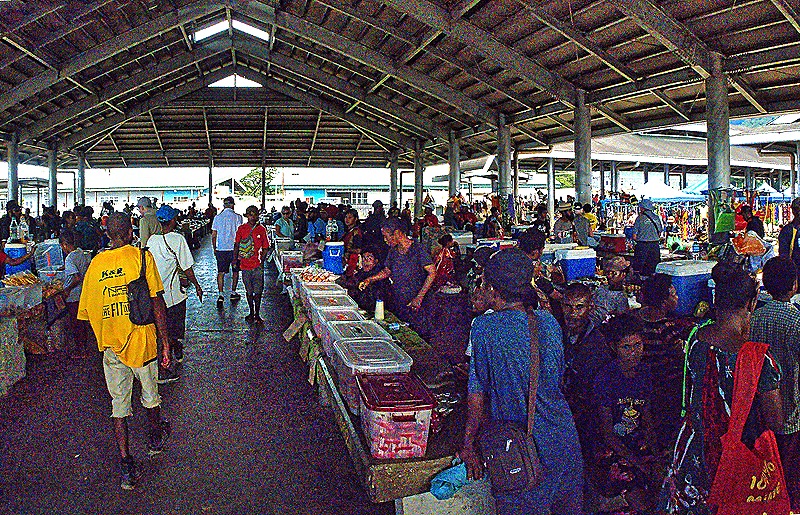
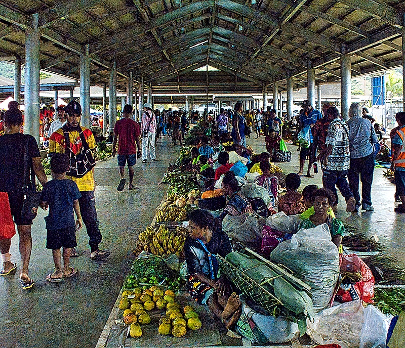
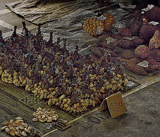
After this we were taken to a an open air performance facility that appeared to be part of a village in the woods. As we understood it, this place is owned by the man who introduced the dancers, explained the demonstrations of village life and generally acted as master of ceremonies. He spoke very good English and clearly was experienced at doing this sort of thing. We were greeted on the path from the bus drop off to the performance building by local people in indigenous dress (probably most were dancers). They lined the path on both sides and were very welcoming.
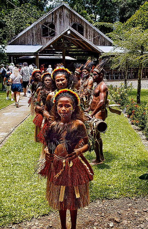
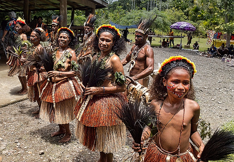
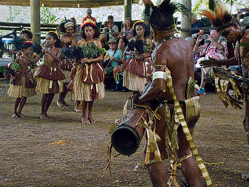
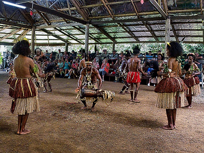
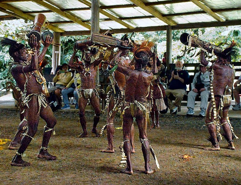
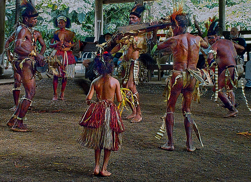
We all sat on two rows of benches around a large dirt dance floor. It was a very hot day so we were glad that this building had a roof for shade and open sides to permit air movement. There were several dances that went on for awhile. We understand that many, if not all, of the dancers had come from other villages and perhaps islands. The dancing was quite interesting and the dancers were very good. Men and women participated in the dancing, including some that looked quite young, and the men played drums that appeared to be hand made.
After the dancing there was a lecture and discussion about the main vegetables in their diet, including taro, tapioca, pumpkin, banana, papaya, watermelon, sago and cassava. There was a demonstration of how they open coconuts to get pulp and water and we were shown how they use the outside husk to start fires with friction. After that we were all invited onto a stage that was built on one side of the dance arena where a variety of local foods was arrayed on several tables for us to sample, buffet style. The food (especially the fresh fruit) was really tasty.
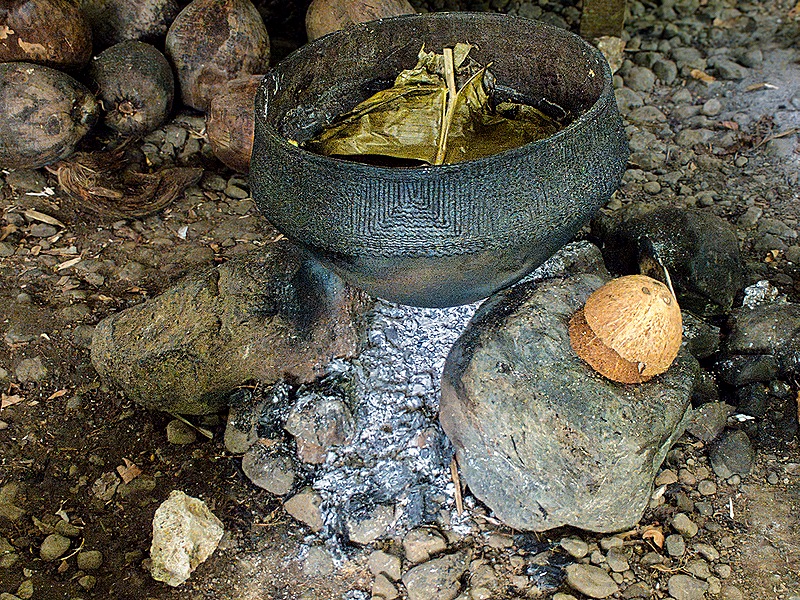
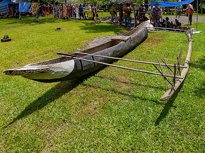
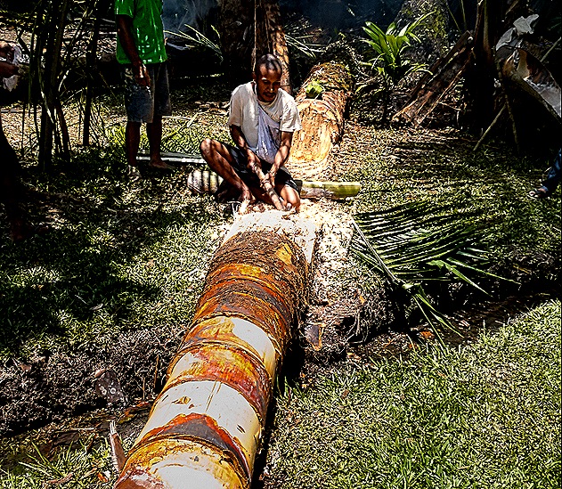
After the food demonstration we had time to walk around outside where there was a large display of interesting crafts with the craftspeople there to explain how they were made and to answer questions. We talked to the man who made an outrigger canoe on display and to a woman who told us about the large war canoe. We also saw a demonstration about creating sago, a starchy substance extracted from the center of a particular palm tree and used in a variety of dishes in this part of New Guinea.
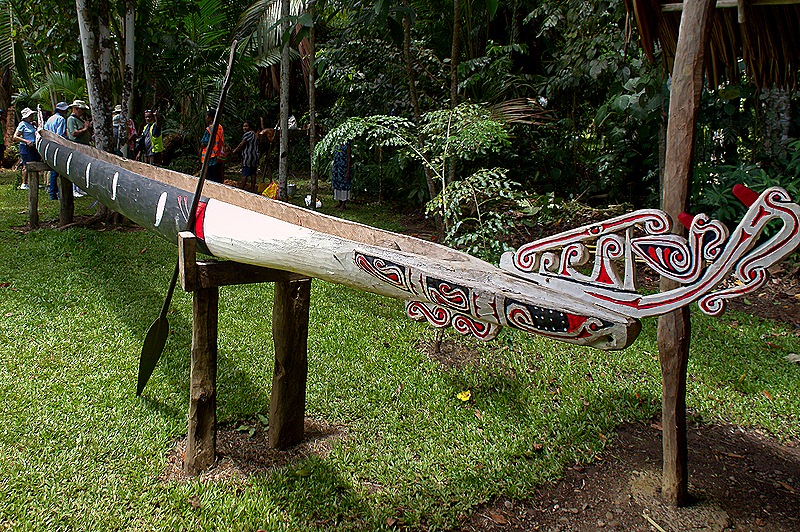
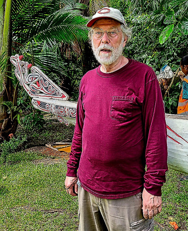
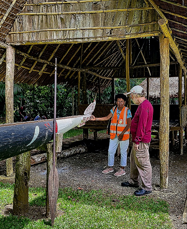
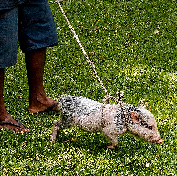
We returned to the performance building for another set of dances, then returned to the bus to head back toward the dock. Many of the local folks were around as we walked back, some still dressed in traditional attire. One was walking a pig in a rope harness.
In 1942, about 25 years before Alotau was founded, this was an area of plantations and small villages. The Japanese were sweeping into the area in this early part of World War II. In New Guinea they had captured Rabaul and were targeting Port Moseby. In May and June the Allies built two air strips here at Milne Bay near where Alotau now stands. The Japanese discovered this in early August and decided to attack. After a delay to respond to the US invasion of Guadalcanal on August 7, they sent in a small force of less than 1,000 (later reinforced by more than 900) to take the airfield under the mistaken impression that few Allied troops were here to defend. The Allies, in contrast, were well aware of Japanese plans because they had broken the Japanese military code. The fighting here lasted almost two weeks from the Japanese landing beginning August 25 to their withdrawal September 7. About a third of the Japanese invasion force and about half as many Australians were killed.
This was the first time the Japanese army had been defeated in battle on land and forced to withdraw. It stopped the Japanese from expanding their perimeter further toward Australia, but perhaps its most important result was a big lift for Allied morale by demonstrating that the Japanese could be stopped and defeated. Along with the American victory a few months later forcing the Japanese to withdraw from Guadalcanal this gave the Allies new confidence that momentum in the Pacific was turning their way.
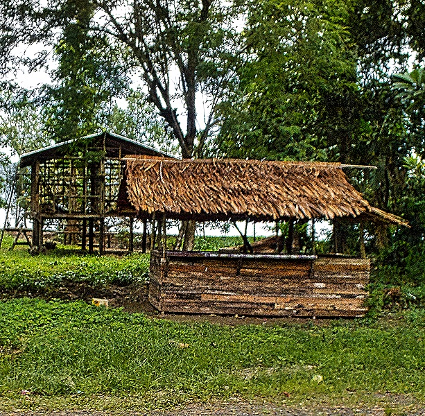
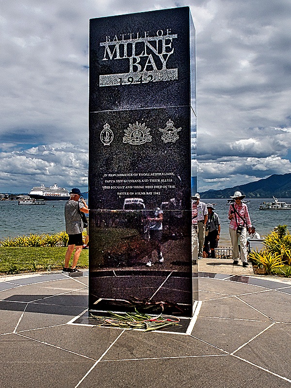
On our way back to the ship we passed several thatched roof structures in the woods between the road and the bay, but we don’t know their purpose. We stopped once, to visit a memorial to the battle of Milne Bay built on the waterfront in 2002 by the Australians. Several other war memorials can be seen in this area but this is the only one we visited. It says “In remembrance of those Australians, Papua New Guineans and their Allies who fought and died in the battle of Milne Bay 1942.” The locals have a term for white people, especially visitors: Dim-dim. We had previously read that this is considered descriptive and not derogatory. While we were visiting the memorial a boy tapped Mary on the shoulder and said “dim-dim." He may have expected that to stump her,and was probably disappointed by her lack of reaction.
That was the extent of our day in Alotau. We would have one more stop in New Guinea the next day.
Rabaul, Papua New Guinea 2026
We reached Rabaul on February 3 after one sea day, the first of three stops in Papua New Guinea. People have lived in New Guinea for 40 or 50,000 years. New Guinea is the second largest island in the world (not counting continents), but it only became an island about 10,000 years ago when its land connection to Australia disappeared under the Torres Strait. The first Europeans visited New Guinea in the early 16th century and Christian missionaries arrived in the mid-19th century. The western half of the island, now part of Indonesia, was annexed by the Netherlands in 1848 and the eastern half that is now Papua New Guinea was divided in 1884 between Germany in the north and the United Kingdom in the south. By 1906 the British portion had become part of Australia and the Australians gained control of the German portion as well during World War I. Papua New Guinea became an independent nation in 1975.
The population of Papua New Guinea is around 11 or 12 million, of whom about 40% live in small villages in the interior highlands. Many of these villages have their own language so that there are more than 840 languages spoken in this country, some limited to perhaps 100 people in a single isolated village. A pidgin tongue called “Tok Pisin” (meaning “talk pidgin”) is used throughout the country. It was not until the 1930’s that much of the interior highlands were contacted by the outside world and there are still villages in some areas that reportedly haven’t been contacted.
Rabaul actually is not located on the main island of New Guinea. Instead it is on the eastern end of the island of New Britain, the largest island in the Bismarck Archipelago. As you might guess from the name of the archipelago, New Britain was in the German portion of New Guinea before World War I, when the island was called New Pomerania. Rabaul was founded by the Germans in 1910 to be their colonial headquarters and continued as the capital of the Australian mandate over the former German colony until 1941. Rabaul’s urban population today is between 4,000 and 6,000.
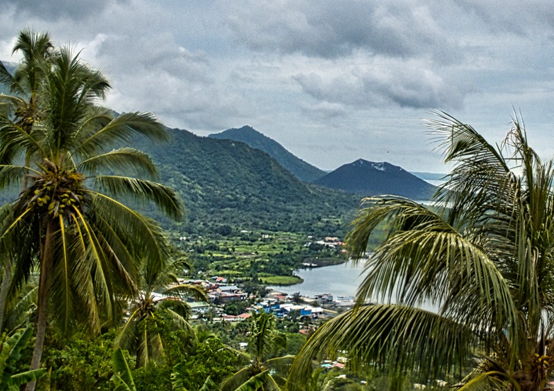
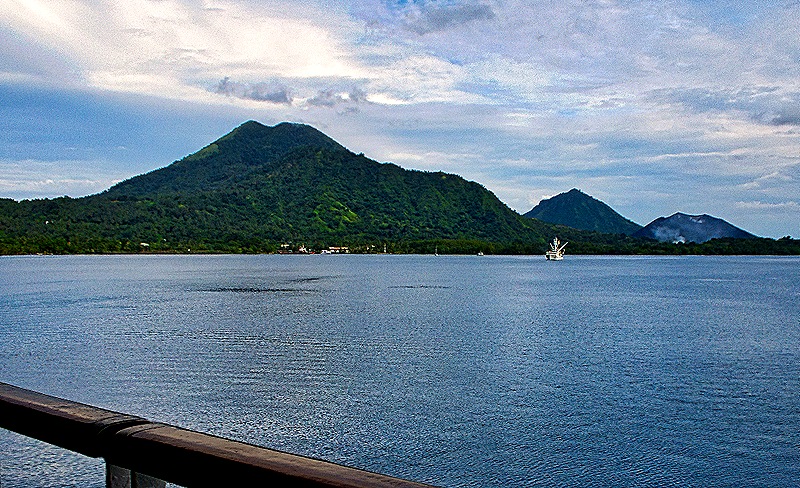
Rabaul sits in Simpson Harbor in the middle of a very large and beautiful bay, which is actually the caldera of what appears to have been a very large ancient volcano. Three volcanoes sit on the corners of the bay as it opens into the ocean and Rabaul has been all but destroyed twice by eruptions in 1937 and 1994. The first one killed more than 500 people and the Australians then administering the territory decided to move the capital to a different city, but they had not done so yet when the Japanese occupied the territory in 1941. Evacuation plans were developed during the 1980’s which paid off in 1994 when the same two volcanoes, Tavurvur and Vulcan, erupted again. Only 5 people were killed even though there was less than a day of warning. However the tremendous amount of ash that fell on the city, which absorbed rainfall and became very heavy, destroyed most of the city as about 80% of the buildings collapsed. The capital of the province was moved to Kokopo, about 12 miles further from these volcanoes, and even today the population is only about a third of the 17,000+ who lived in Rabaul just before the eruption.
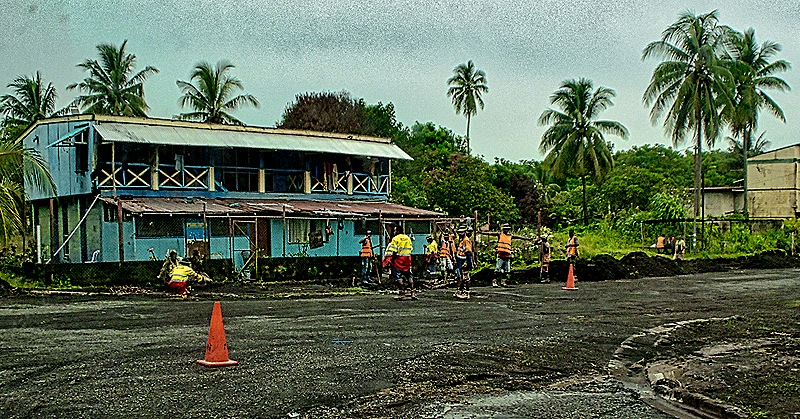
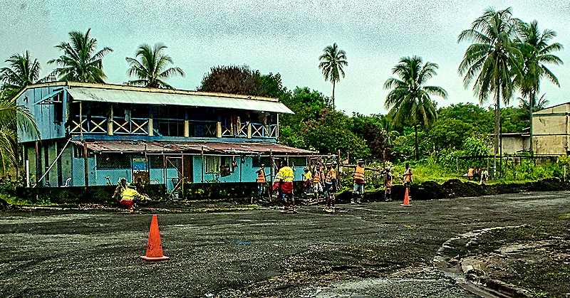
We spent the day on a small private excursion. Boarding the van in the morning we drove west. Once outside the central city the roads were very bumpy and uneven, mostly dirt (or really mud on this day). In several places gangs of men were repairing roads (and buildings) by hand, and there were few structures to be seen. We were headed for Matupit Island and an indigenous village there where our guide and our driver both lived and grew up. We think these were of the Tolai people, a matrilineal culture who are the dominant indigenous group in this area and who are thought to have migrated here from another island. Matupit was a separate island in fact as well as in name until 1994, when material from the big eruption filled the small gap between Matupit and New Britain islands so that now the road to the island is all land. The jungle has regrown to such an extent that we would not even have noticed the division of the land if our guide, Dora, had not stopped us and pointed it out. Dora was 19 years old and living on Matupit at the time of the 1994 eruption and her stories of that time were quite interesting.
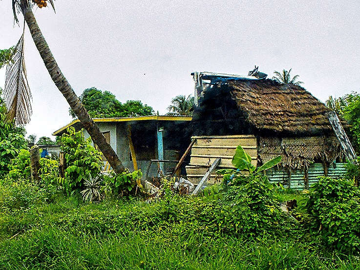
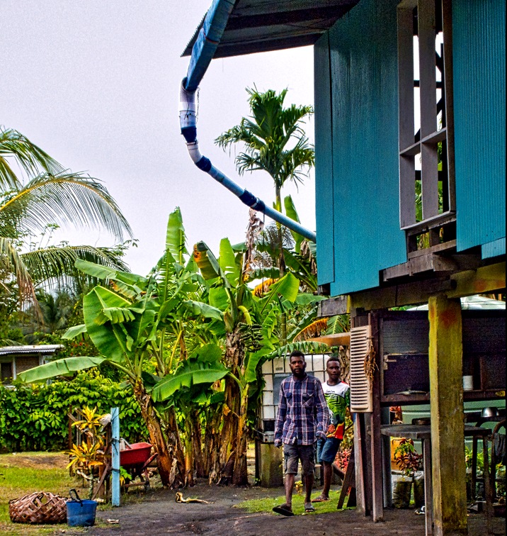
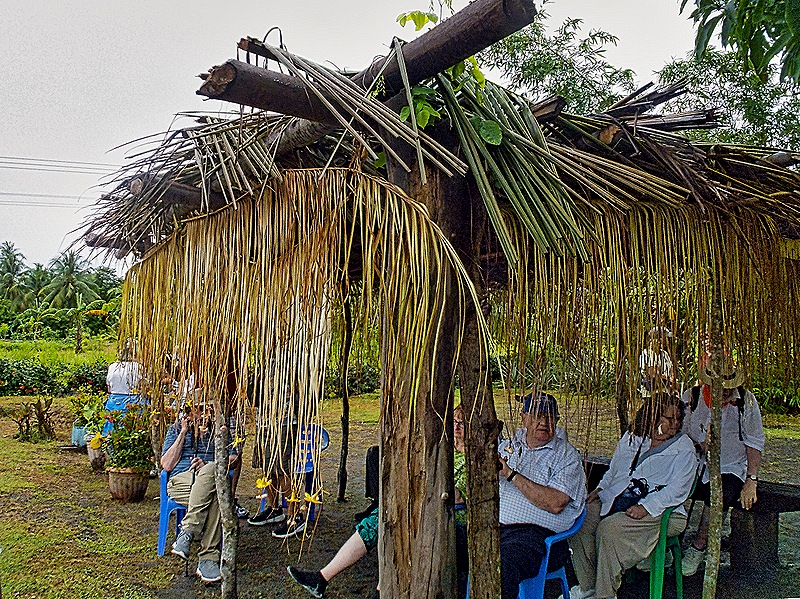
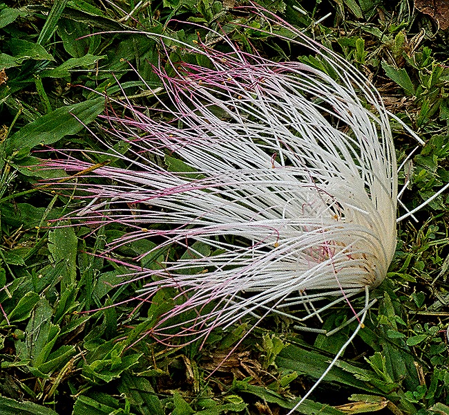
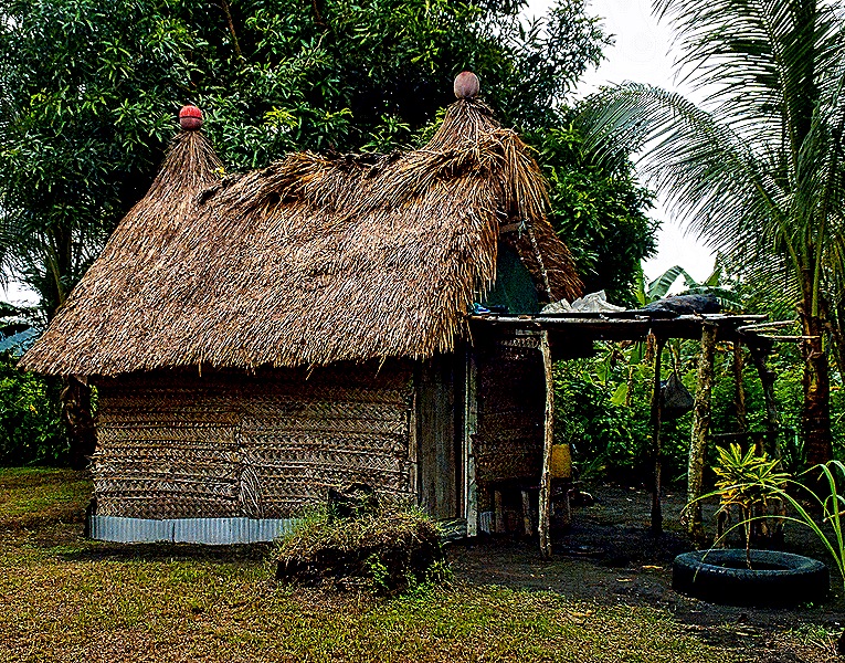
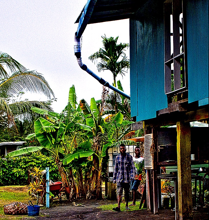
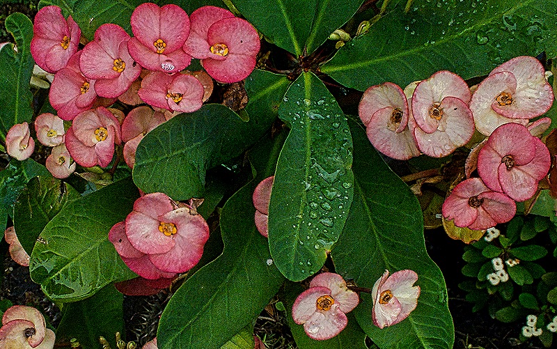
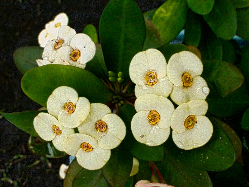
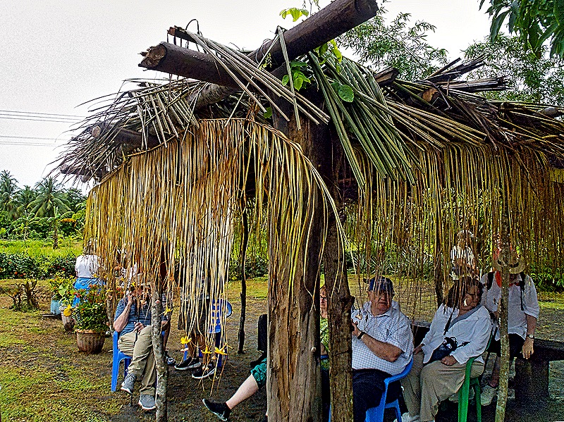
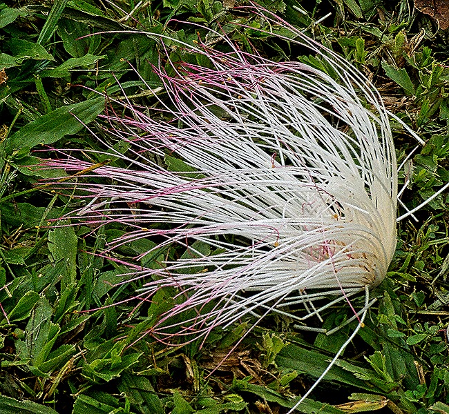
When we reached the village there was time to look around as we waited for other tour groups to arrive for a dance performance. We saw a display of the village’s handicrafts and were treated to some delicious fruit (watermelon, papaya, pineapple). There was an interesting hut made, it appeared, from mats of woven palm fronds with a grass or straw roof. We also noticed a pipe on the end of the roof of a building, apparently directing rainwater into large vats. And we enjoyed some nice flowers growing in the area.
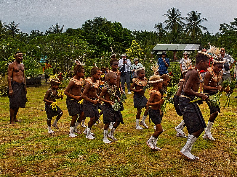
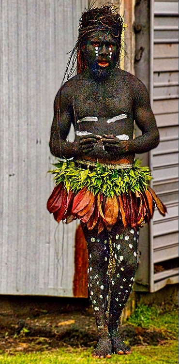
After the other buses arrived we were led to an open field with a wood and palm grandstand and listened to a presentation from a village elder about the village and its people and about the dances we were about to see. Tourism is a vital source of income in this area and there was no doubt that they were used to having visitors like us on a regular basis. But that doesn’t necessarily mean that people don’t actually live here or that the culture on view was not authentic. We saw several dance performances, one a whip dance in which a dancer is repeatedly whipped by others with long canes from some plant, and a couple of dances performed mostly by younger boys who seemed to be in training.
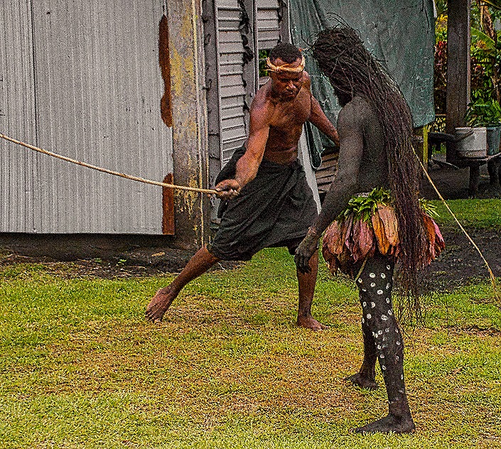
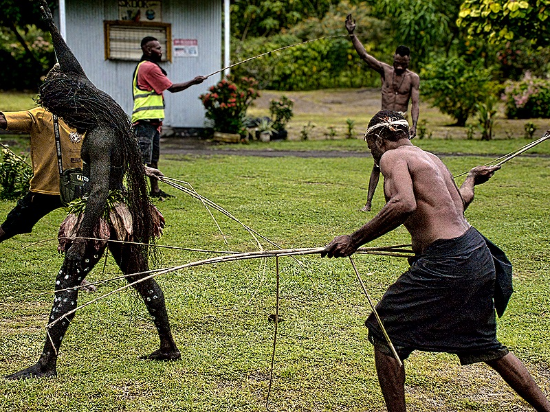
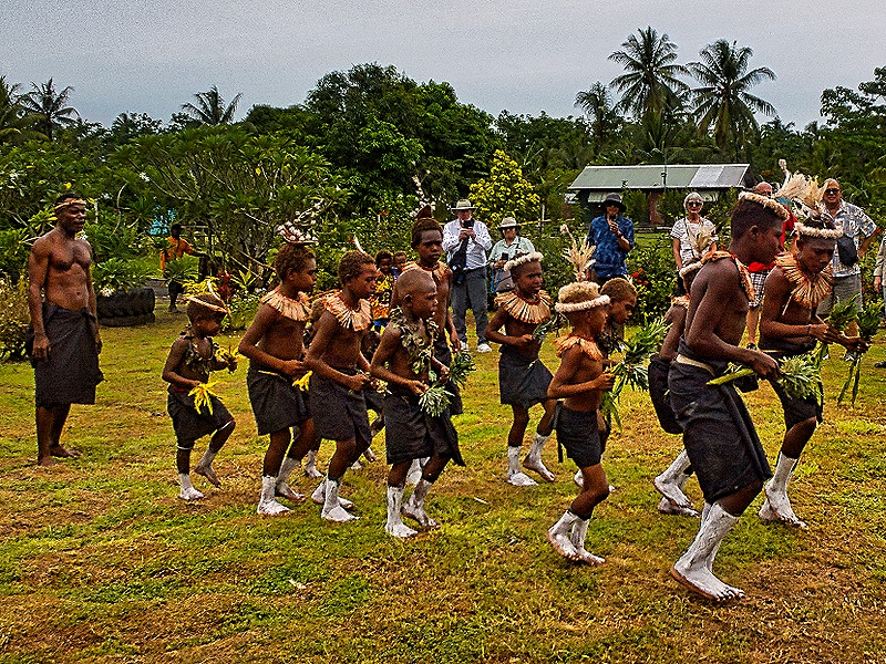
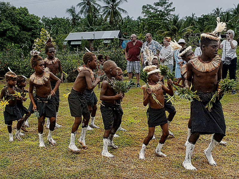
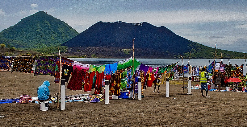
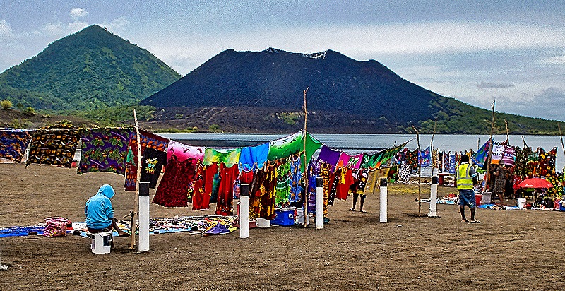
From the village we drove to a beach with a view of the volcanoes across the water. A number of vendors had set out brightly colored cloth and clothing for sale. Some were also selling carvings made of volcanic lava rock.
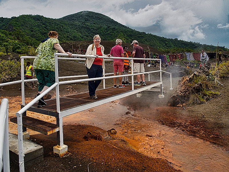
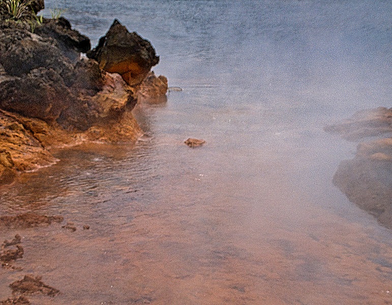
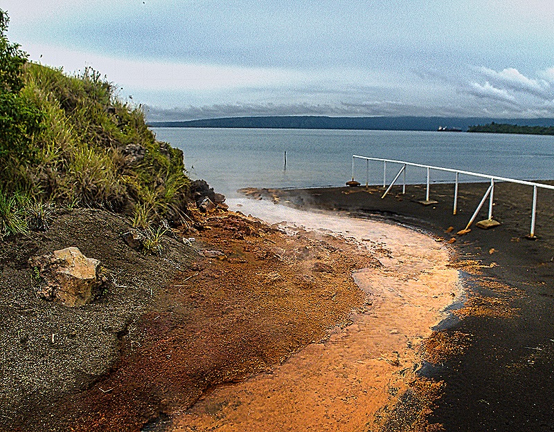
We walked a little way past the vendors and came to the hot springs. This stream runs into the bay at the foot of the Mt Tavurvur volcano. It is heated by geothermal vents in the mountain and, at least when we were there, was putting off a good amount of steam. We were warned it was too hot to touch safely but we wouldn’t have tried anyway.
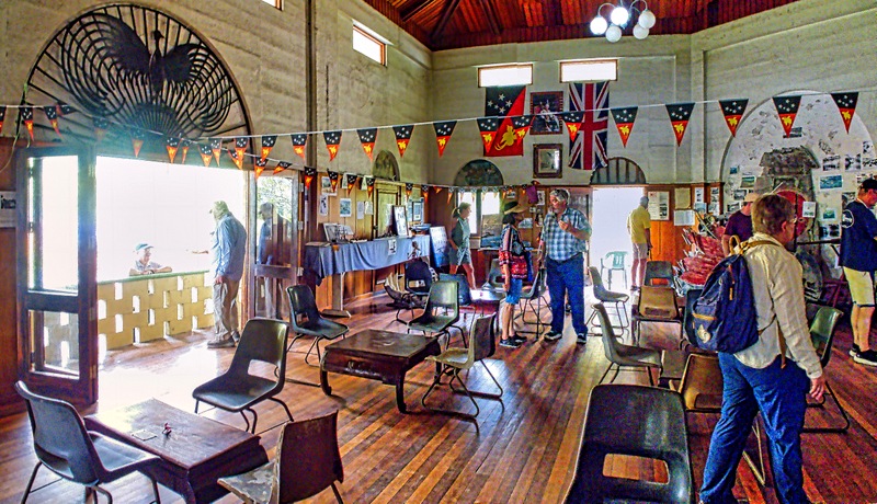
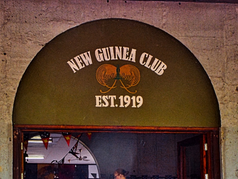
We drove next to the old New Guinea Club, established in 1919 as a social club for the European administrators and plantation owners. This was where the small Australian military outpost gathered on January 20, 1942 for the impossible task of defending the area from the overwhelming Japanese air, sea and land forces bearing down on it. Just before setting out to fight the commander radioed to Melbourne “Nos Morituri Te Salutamus” (we who are about to die salute you), a phrase associated (possibly incorrectly) with Roman gladiators entering the arena.
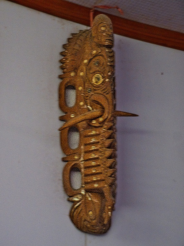
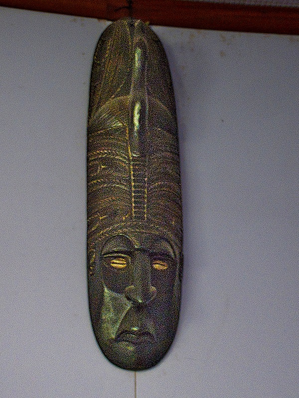
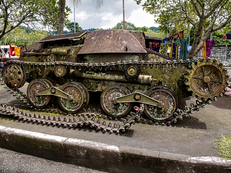
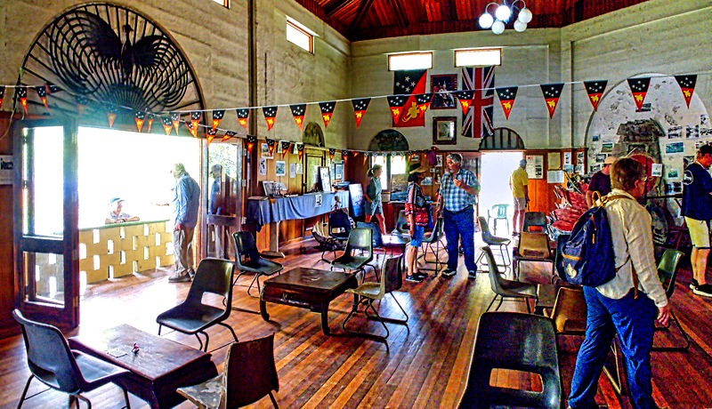
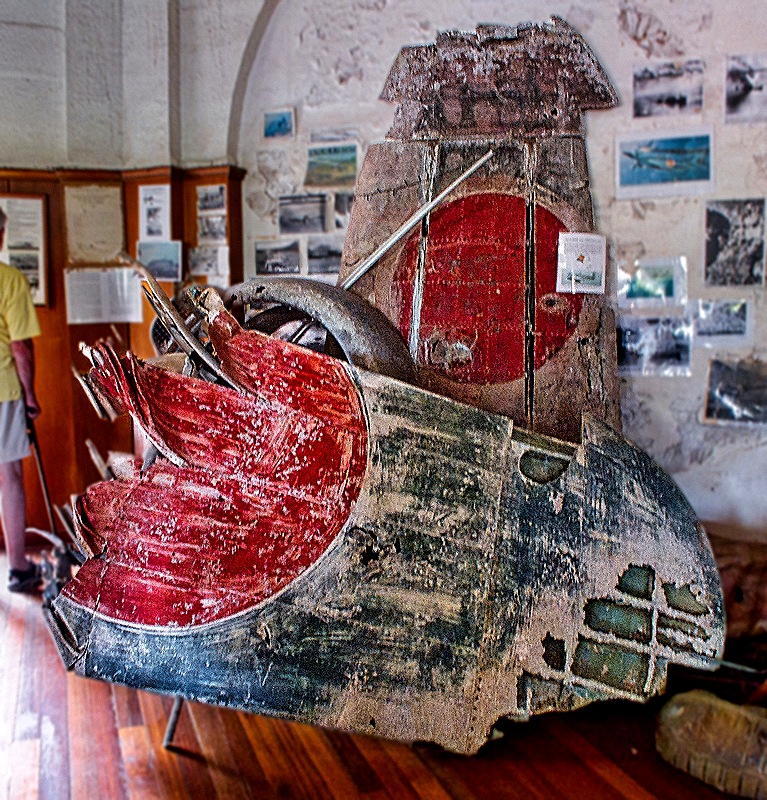
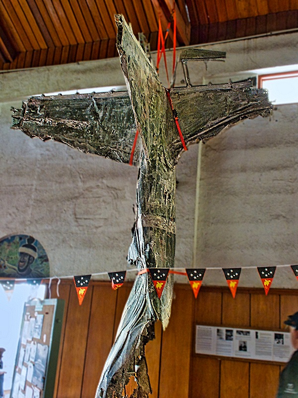
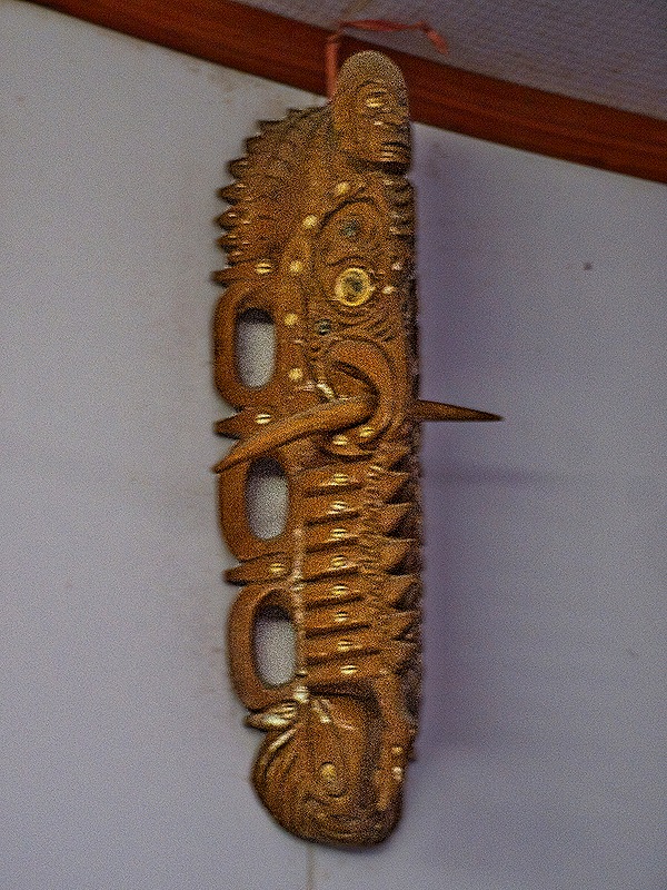
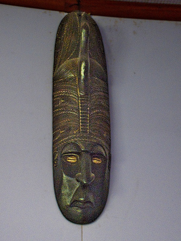
The building was partially rebuilt after being destroyed by Allied bombing during World War II and today serves as a museum, holding a variety of interesting artifacts from Rabaul’s history. The eclectic collection includes everything from tribal masks to parts of a Japanese Zero shot down during the war. The collection was interesting but filled the small museum rather haphazardly, seeming more like an attic than a museum. In front is a ruined Japanese light tank.
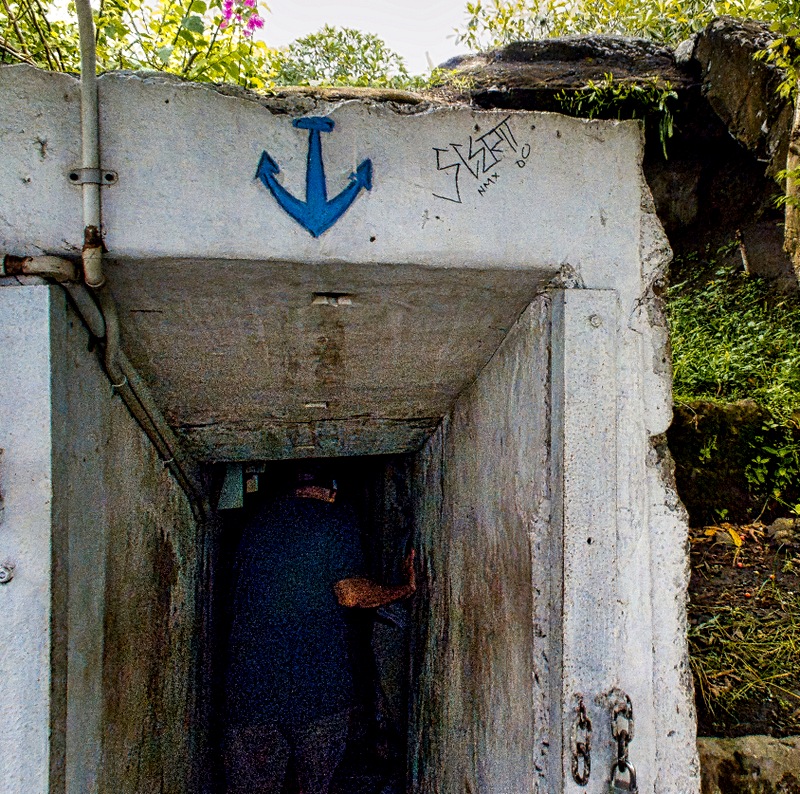
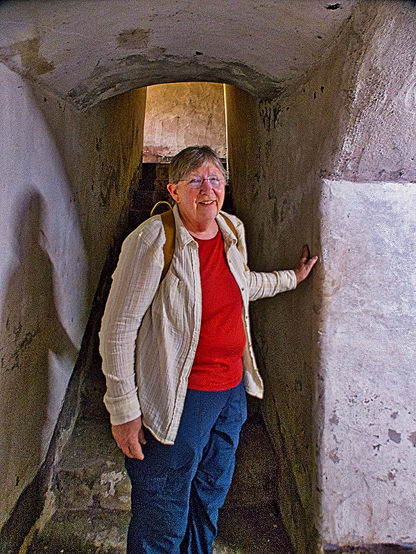
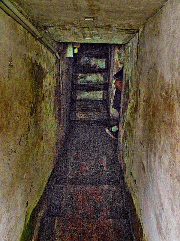
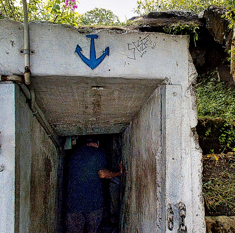
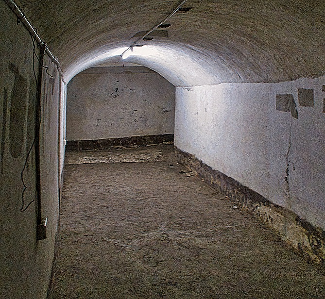
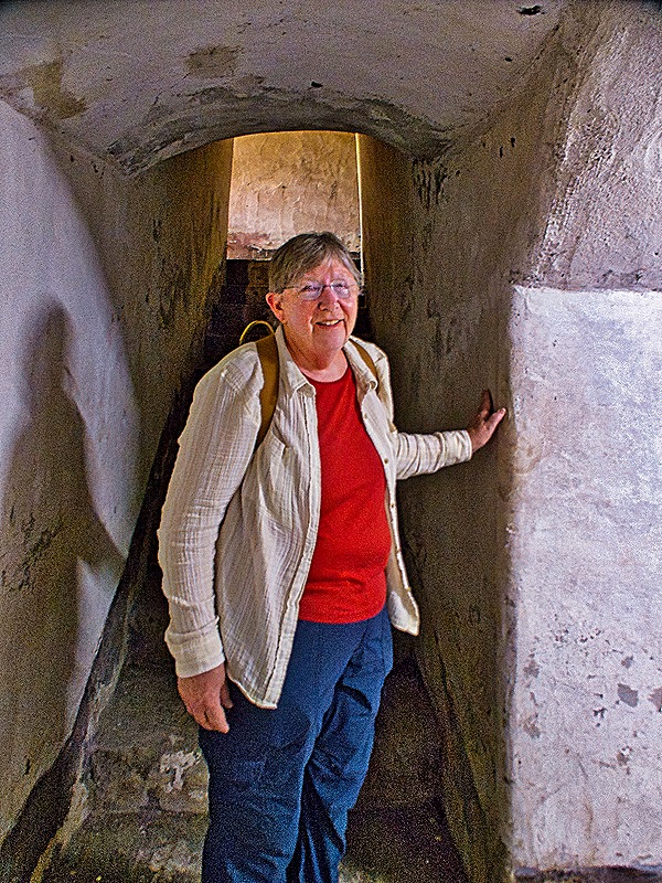
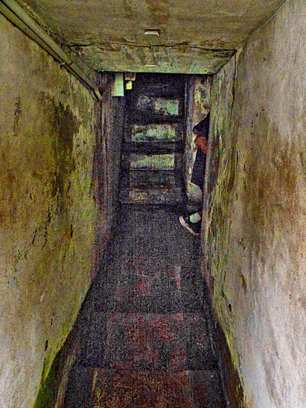
Behind the museum is a World War II Japanese bunker. This concrete bunker was the command post for anti-aircraft guns and spotlights in the region. It is called Yamamoto’s Bunker, but it is questionable whether Admiral Yamamoto, the mastermind of Pearl Harbor and the commander of the Japanese fleet in the Pacific, ever stayed in it. He was certainly in Rabaul in 1943 when it was among Japan’s most forward positions, but some think he stayed in another bunker not too far away. In any event, US code breakers intercepted his itinerary for an April 18, 1943, flight from Rabaul to Bougainville and a squadron from Henderson Field on Guadalcanal shot down his plane. This was a major loss for the Japanese. The bunker was dark and had no handrails on the stairs, so it was difficult to safely negotiate the many steps.
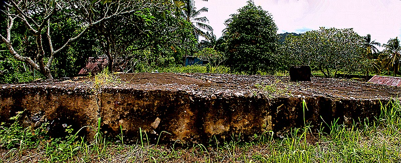
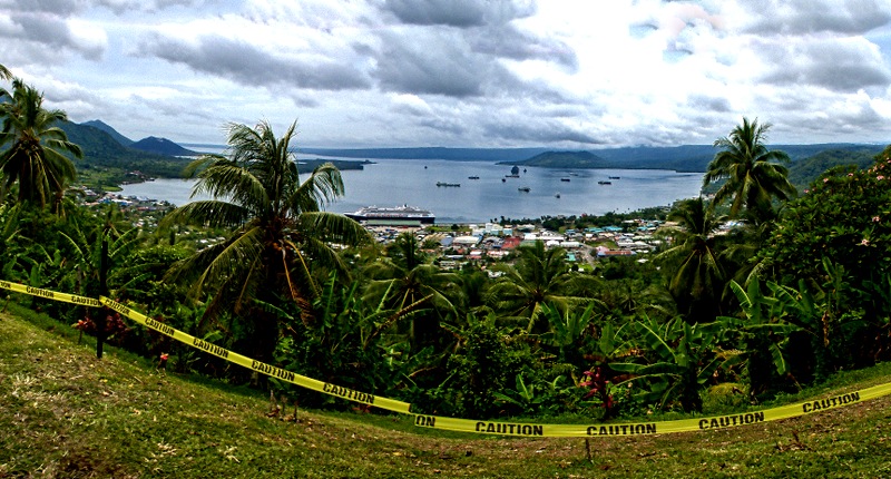
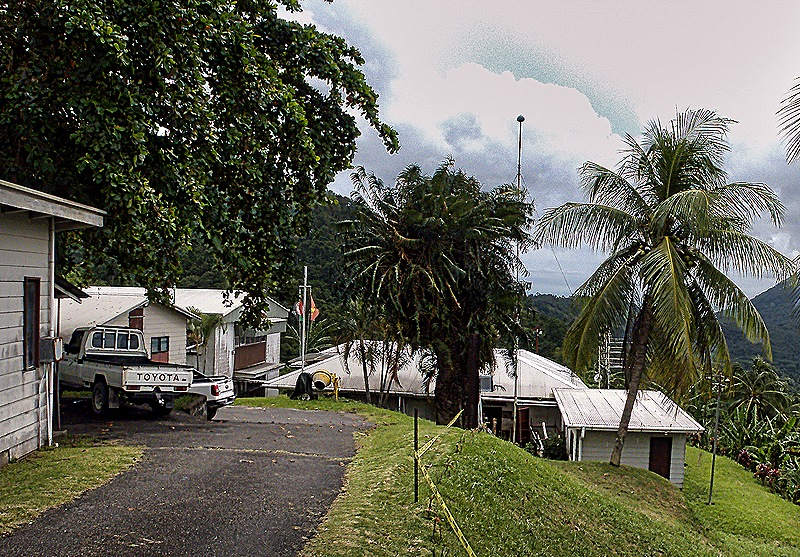
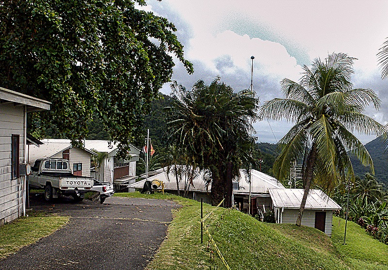
Our last visit was to a high ridge above the town of Rabaul, just uphill from the Rabaul Volcano Observatory. The Observatory was opened after the devastating 1937 eruption in the hope that any future eruptions could be detected in time to avoid such loss of life. Today it is responsible for monitoring 37 active and dormant volcanoes in Papua New Guinea. This is the main observatory and there are four supplemental observatories near other volcanoes. We were able to see the Observatory a little way down the hill but were not permitted to enter because this would disrupt its scientific work (there were quite a few visitors when we were there). It was a stunning view from here over the town, the bay and the volcanoes.
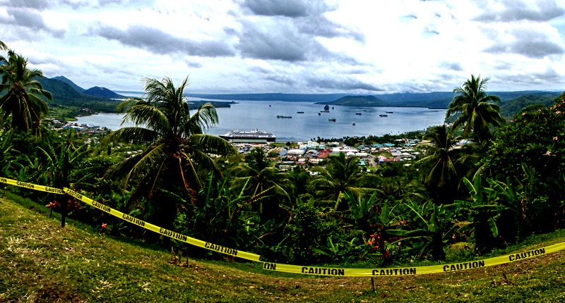
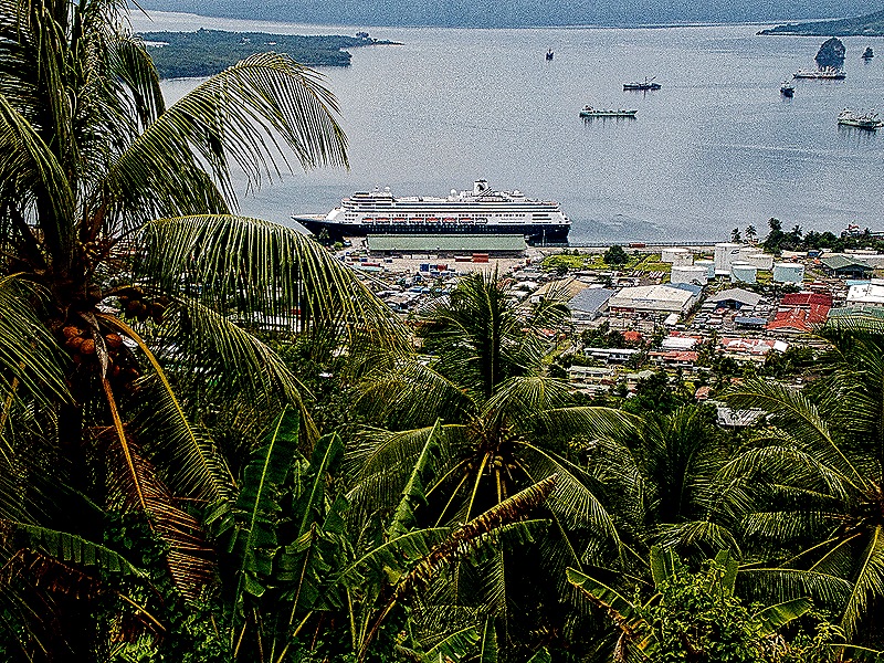
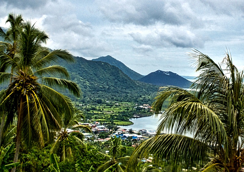
We returned to the ship after this last look over the whole area. It had been a very interesting day and really there are still things left here that would be worth seeing. But for now this was it as we sailed away through the bay to the ocean.