Endicott Arm & Wrangell, Alaska 2025
Endicott Arm & Dawes Glacier
Our itinerary said that we would spend the morning of July 2 viewing the Sawyer glaciers in Tracy Arm. But there was too much ice to sail into Tracy Arm so the Captain took us instead to neighboring Endicott Arm, home of Dawes Glacier. It was a smart move because these two spots are not very different and Endicott Arm is much less visited, we understand.
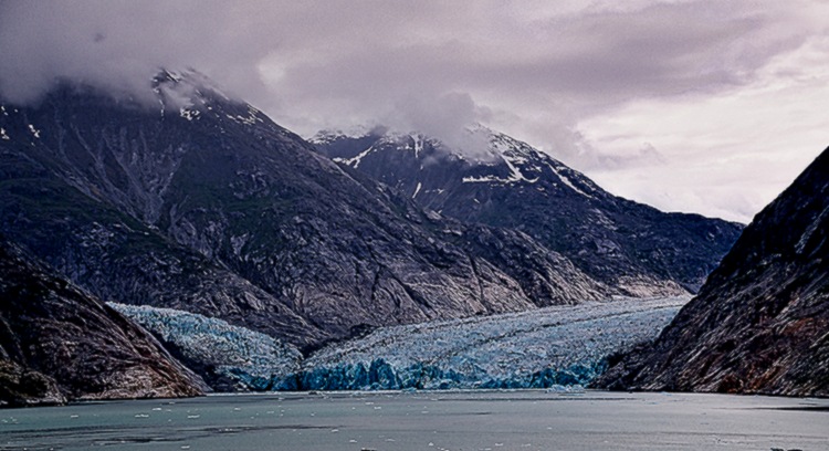
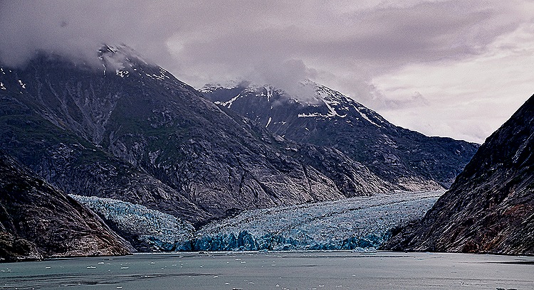
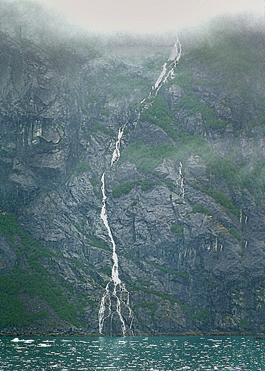
Tracy Arm and Endicott Arm are lengthy fjords branching out from Holkham Bay some 45 miles south of Juneau. Both were carved by glaciers. As we sailed up Endicott Arm we passed nice waterfalls descending from impressive mountains under a low and heavy cloud cover. But no serious ice blockage.
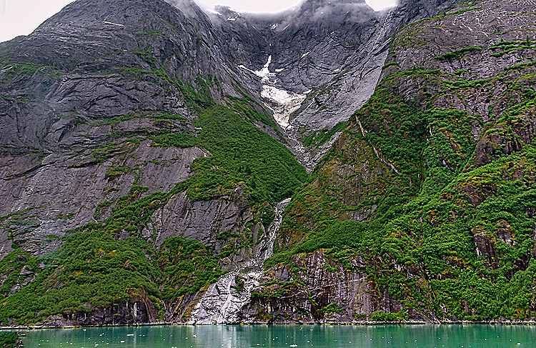

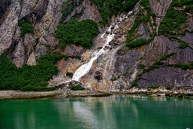

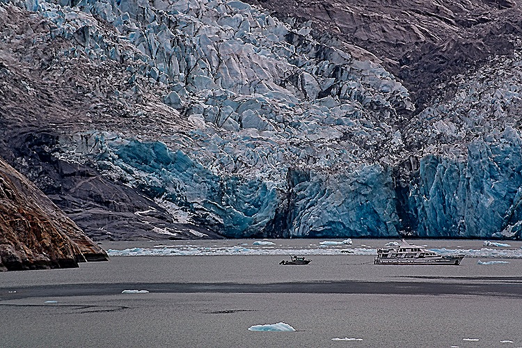
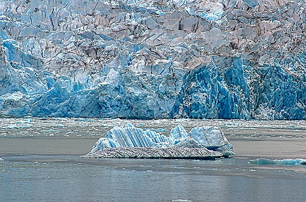
The face of Dawes Glacier is a bit more than half a mile wide and about 600 feet tall (with another 300 feet or so below water). Two glaciers join to form the tidewater terminus. It is known for active calving (it flows toward the water at about 15 feet per day) but we didn’t see any. This glacier is retreating, so at some point in the near future the two flows seen together at its face will likely separate. Harbor seals live and mate on floating ice in this area but we didn’t see them. The face of the glacier is a nice blue color.


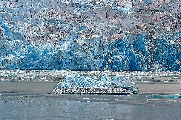
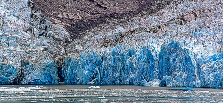
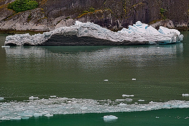
We spent some time in front of the glacier so the Captain could fully rotate the ship and give everyone a good view. We passed floating ice and misty mountains again as we sailed back down Endicott Arm, then headed out into the bay and south to Wrangell.


Wrangell, Alaska
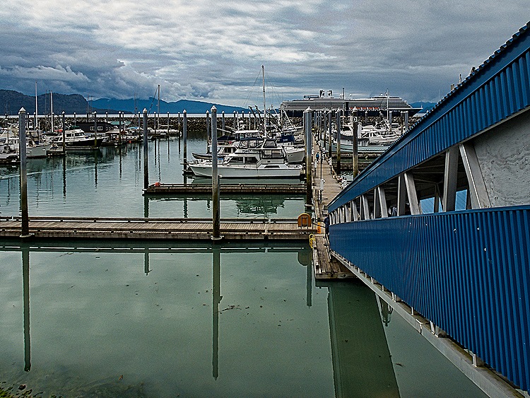
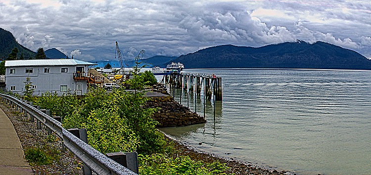
Last year’s cruise had to skip Wrangell because it was the Fourth of July and there was a parade amid other celebrations. This year we were scheduled to arrive on July 3 and, although we weren’t turned away, we had to tender into a small boat harbor well south of town because they would be practicing for a Fourth of July boat race. So we didn’t feel all that welcome as we took the tender ashore, but we were glad to be able to visit here.

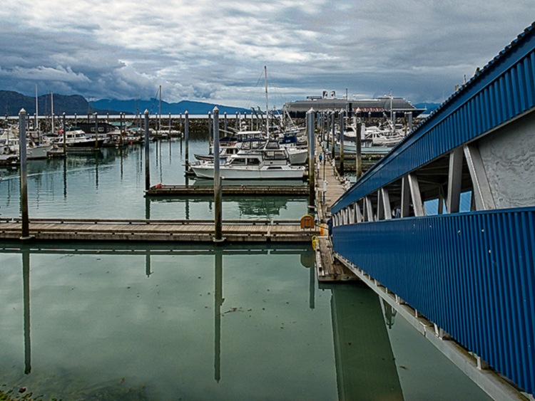
Wrangell is on one end of Wrangell Island, one of the 30 largest islands in the United States, about 155 miles south of Juneau. Tlingit people had been living in this area for thousands of years when Russian fur traders built a fort called Redoubt St Dionysus here in 1834. The first European visitor, however, was George Vancouver during his 1793 expedition. The British took possession in 1840, renaming it Fort Stikine (after a nearby river). When the Americans acquired Alaska in 1867 they built a new fort here, called Fort Wrangell, named after Baron von Wrangel (not a typo, different spelling) who had been manager of the Russian-American Company (and effectively governor of Alaska) during the early 1830’s. Wrangell was incorporated as a city in 1903.
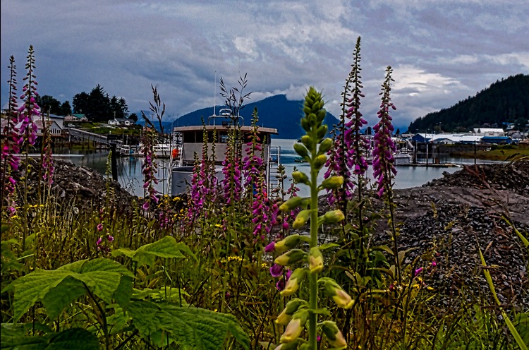
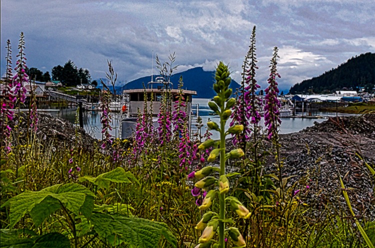
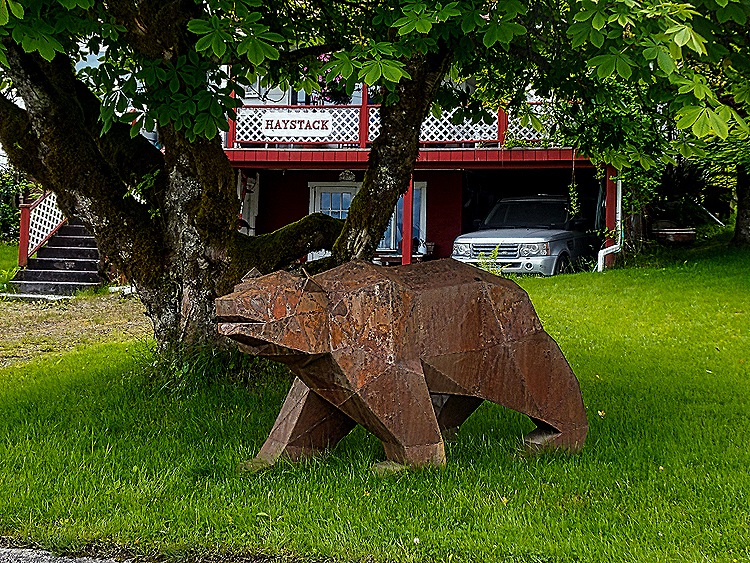
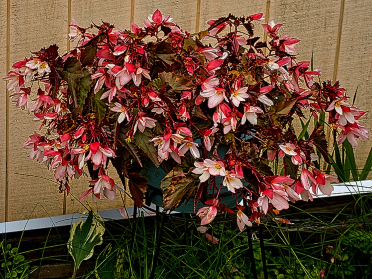
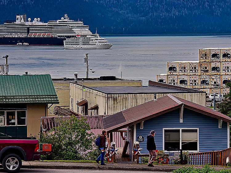
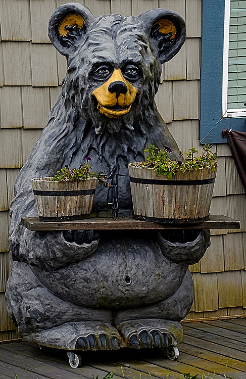
It was a long walk, more than a mile, into town. Just outside the port we saw what appeared to be some kind of fish traps piled high, presumably waiting to be used. We also passed several houses decorated for Fourth of July, a bear sculpture in someone’s front yard, an old car and a lot of flowers. This is a small and remote American town with a population just over 2,000 and that is what it looked like, especially today when it was decked out for a patriotic holiday.





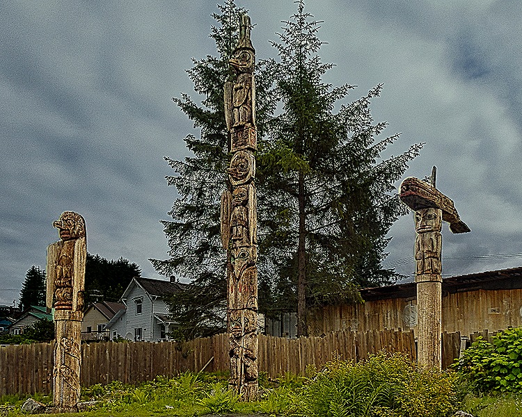
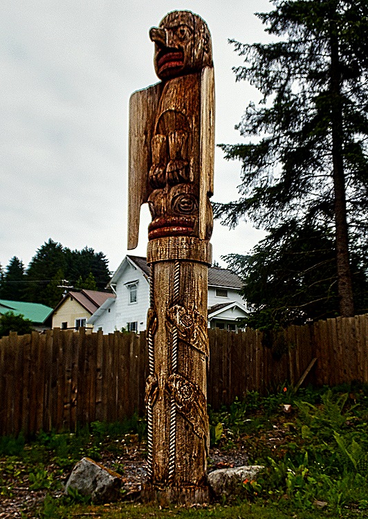
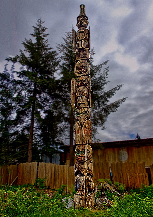
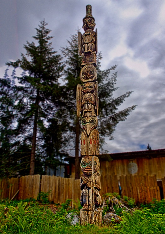
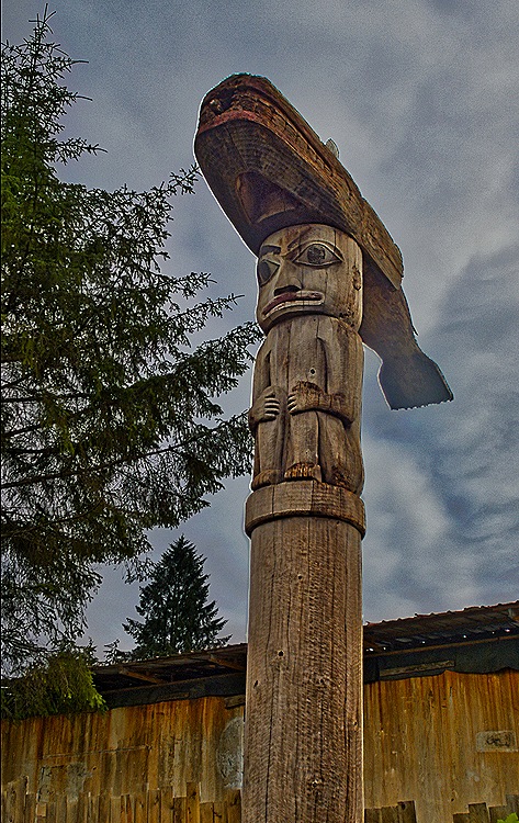
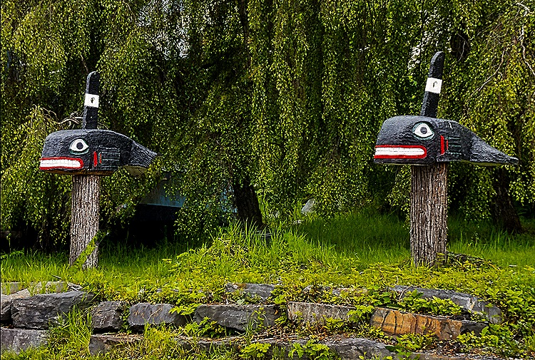
In town we first came to Kiks.ádi Totem Park. Originally opened in 1895 on the site of a clan house, the park now belongs to the local native corporation. The tradition among Native Alaskans is that totem poles are left to deteriorate naturally after they are erected. We saw three poles in the part of the park we visited, all of which appear to be rather aged,mostly brown and gray with some faded colors. While we can’t identify all of the symbols, we understand the pole on the right has a killer whale on top and the one in the center dates from 1987. We understand there is at least one other pole elsewhere in the park but we didn’t see it. About three weeks after our visit a newly carved totem pole was erected in front of the three we saw. Taller than these and weighing quite a lot, the new pole was erected by hand by the local native community. This was the first pole raising in Wrangell in almost four decades. Obviously, no pictures here of that since it happened after our visit.



We continued walking into town, passing many more Fourth of July decorations. Our friend Susi was, unbeknownst to us, about a block up the hill and took a picture of us on this walk.


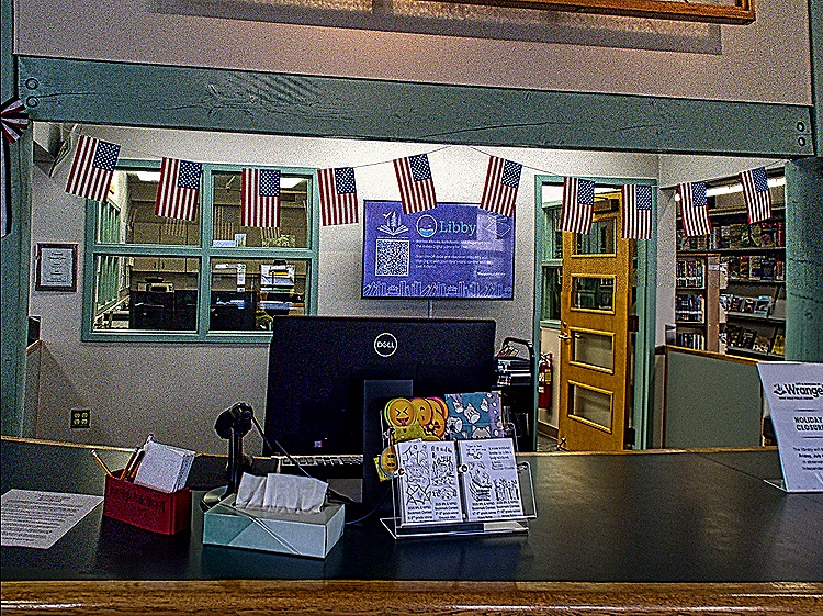
The Irene Ingle Public Library in Wrangell was opened (originally in the city hall) in 1921 on Halloween. The community pitched in with donations, labor and volunteer services to get it done. One vehement supporter wrote to the Wrangell Sentinel in 1921 that he would paint, varnish, subscribe to a magazine for the library shelves and “if it becomes absolutely and unavoidably necessary, I agree to go over to the library one day each week and make ardent love to the librarian in order to keep her on the job.” That’s commitment! Irene Ingle was the head librarian from 1951 (when it had no heat or running water) until 1981.
We visited the library (of course) and it was a very nice, modern space with soaring ceilings. Above the front desk was a fetching glass triptych of a fireweed, a plentiful and popular flower in Alaska.




We wanted to visit Petroglyph Beach, which was a mile or more away on the outskirts of town, so we walked in that direction. Passing the post office, which we understand is on the site of the old Fort Wrangell, we encountered a totem pole called a raven pole, which was carved in the 1960’s. In front of a store was an interesting wooden moose.


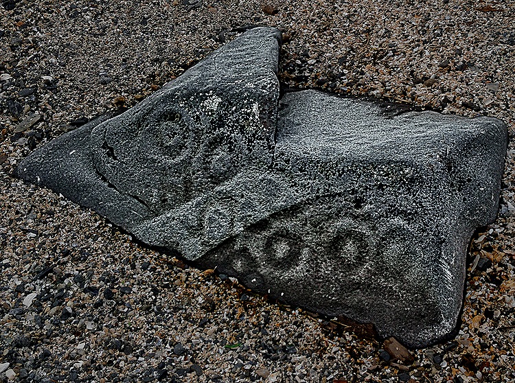
We took the long (mostly uphill) walk to Petroglyph Beach. It is a fairly large and very rocky area next to the water. This is designated a state historical area and they have built wooden stairs down to a platform just above the beach which contains explanatory signs and replicas of some of the petroglyphs. There are several dozen petroglyphs, designs carved in stone, scattered throughout the beach which are said to date from as long as 8,000 years ago. They are not easy to spot because the stones are rather dark and many of the carvings are monotone. But we did find a few. We understand that some of the better ones are in the local museum, but we didn’t make it there.


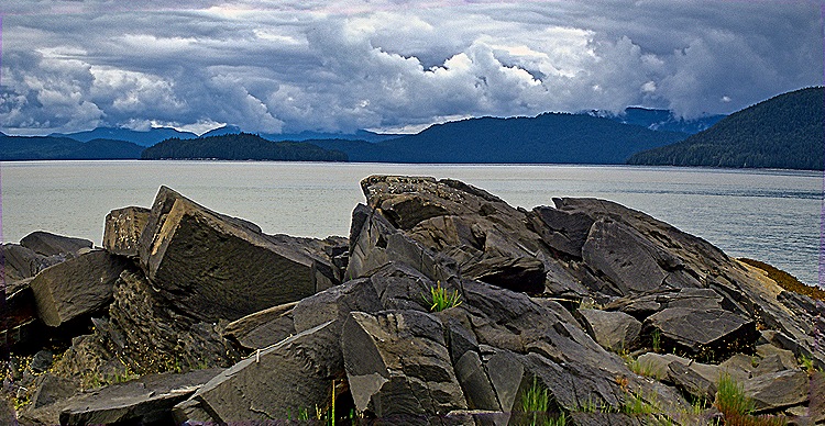
The view across the water from the beach was pretty stark, at least on this rather gray day. Across the water is uninhabited Woronkovski Island, named for a Russian explorer, which is separated from Wrangell Island by the Zimovia Strait. The northern tip of Woronkovski Island is called Elephant’s Nose Point because it resembles an elephant’s head with a long trunk extending along the water. It was named in 1878.

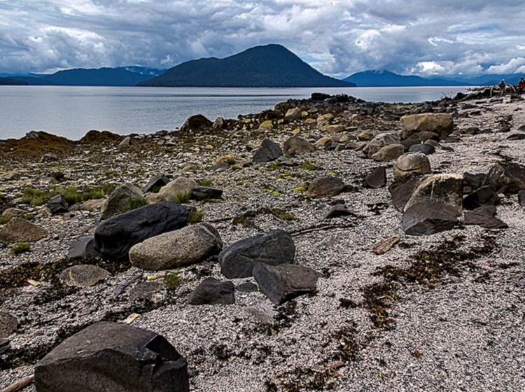
We walked back on the road along the water into the center of town. A pretty long walk & a good bit of holiday decoration.


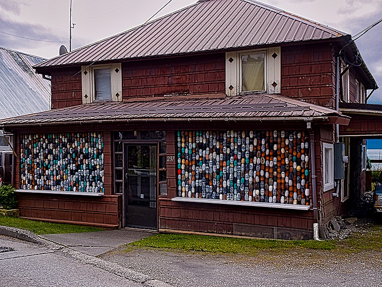
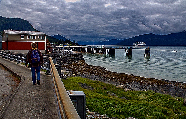

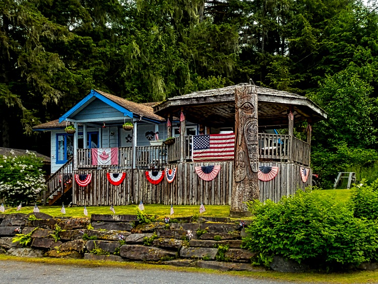
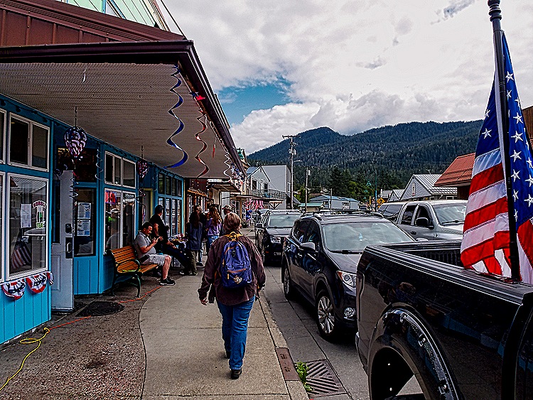
We walked up the main street in downtown Wrangell, stopping in a few stores on the way. Few really old buildings remain because a large fire in the 1950’s destroyed much of the town. Then we headed back to the tender dock, passing on the way an interesting house fixed up for Fourth of July, but with a Canadian flag tucked into the display.



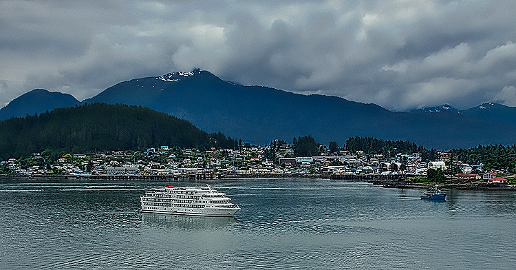
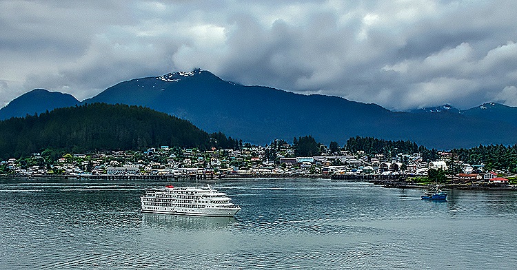
There were still things to see but we had done quite a lot of walking and were pretty tired, so we walked back to the tender port and returned to the ship. We had a nice view of the town as we sailed away toward our last port visit.
Juneau, Alaska 2025
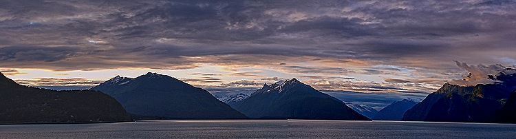
July 1 found us docked in Juneau, the capital of Alaska since 1906. The mountains along the Gastineau channel as we sailed toward Juneau under a heavy cloud cover very early in the morning were quite dramatic.
This is our second visit to Juneau; you can see our first visit (with more background information) here:
https://baderjournal.com/2017/08/08/juneau-alaska/
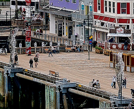
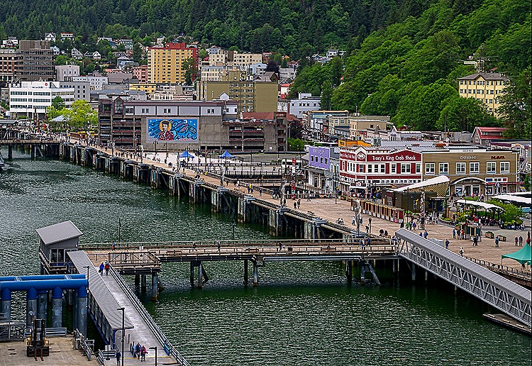
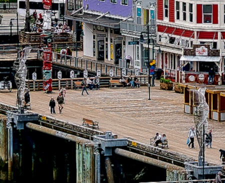
Since we had already been to the Mendenhall glacier and the top of Mt Roberts we decided to walk around the town today for the most part. The morning was pretty chilly with rain on and off and a continual cloud cover but we persevered. Exiting the ship along a lengthy pier took us to the cruise dock, a large open plaza. Tourism, especially from cruise ships, is a major part of Juneau’s economy so it was no surprise to see this area surrounded by restaurants and shops selling tee shirts, baseball caps and other mementoes of Alaska. Along the edge by the water was a series of ten abstract metal sculptures, 20 feet tall. Installed in 2017 they are called Aquileans, a mash-up of the Latin words for whale and eagle, which they are designed to represent. They are lit up at night with color changing lights.

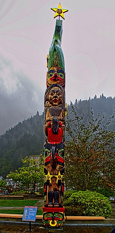
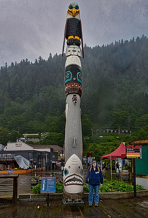
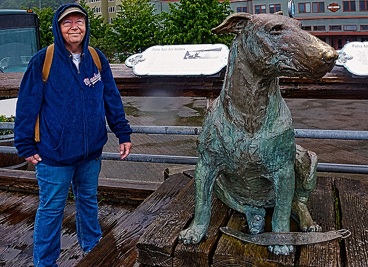
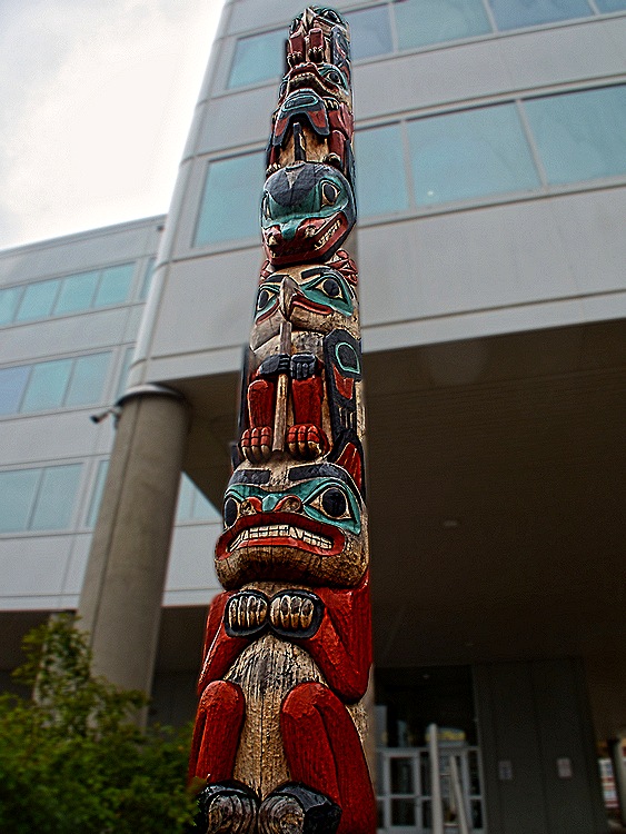
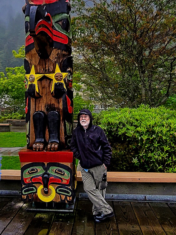
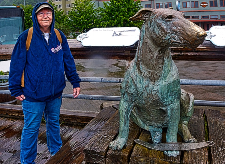
Juneau is colorfully festooned with totem poles, some of which are in this area as well. Most are of recent vintage (the last two or three decades) and carving them appears to be a thriving profession here. Most of these contain symbols representing particular clans that are indigenous to the area. One of the poles we encountered in this area is unusual in having a star on top, kind of like a Christmas tree, representing the Little Dipper, above a dog salmon, and at the bottom a raven with a box of daylight that he released to bring light to the world. Another distinctive pole had a large bald eagle at the top and a shark at the bottom. Also in the dock area was a statue of Patsy Ann, a dog who lived in Juneau from 1929 to 1942. She was deaf all her life but had an unerring ability to sense an approaching ship from half a mile away. At that time shipping schedules and communications were less exact, so often the first indication a ship was arriving was when Patsy Ann suddenly headed for the dock. And she also knew where the ship would dock; on at least one occasion she went to a different pier from where the crowd was waiting and the ship docked where she stood. This resonated with us because we had a dog named Addie who always knew when one of us was approaching even when the car was a few blocks away.



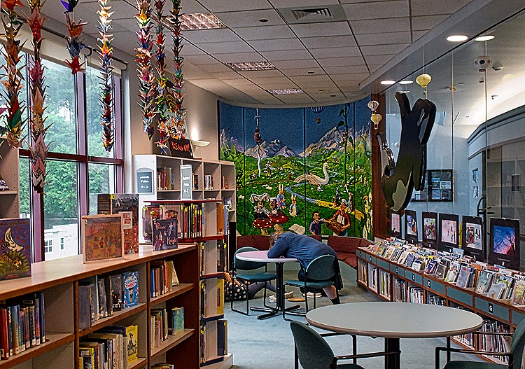
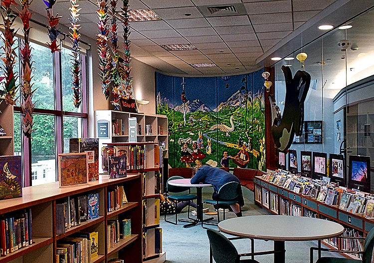
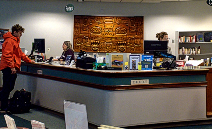
We visited the Juneau Public Library, housed in an upper floor of a modern building that seems mostly filled by a parking garage. The last time we were here, in 2017, it was closed but this time we went inside. It had some nice artwork, pictured below over the check out desk and in the children’s room, and a wire relief of two birds (raven and eagle perhaps?) above a restroom on one side of the building outside. One large window had a panoramic view of another part of the dock area, with Mt Juneau covered in spooky clouds.




Sealaska Heritage Institute is an organization dedicated primarily to education and promotion of the culture of the Tlingit, Haida and Tsimshian cultures of Southeast Alaska whose ancestors have lived here for more than 10,000 years. We visited its central facility in Juneau, including a museum displaying native art inside and outside, and its administrative headquarters across the street.
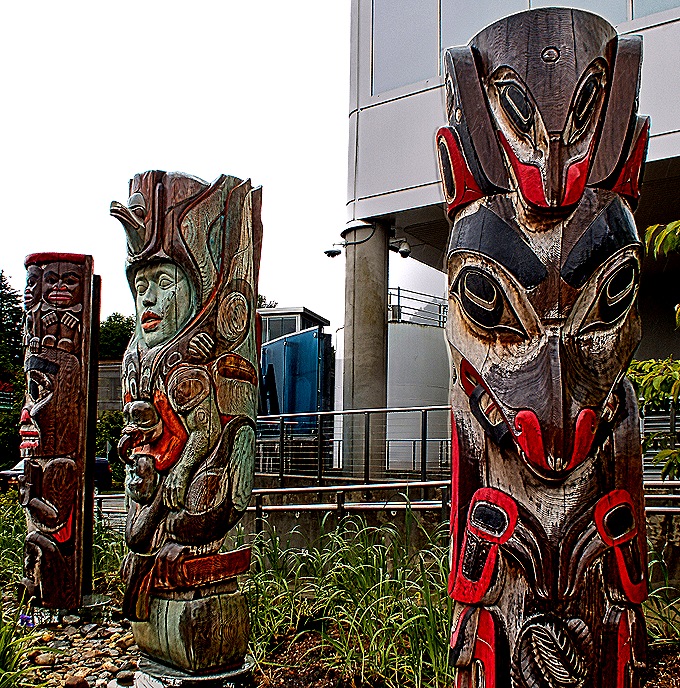
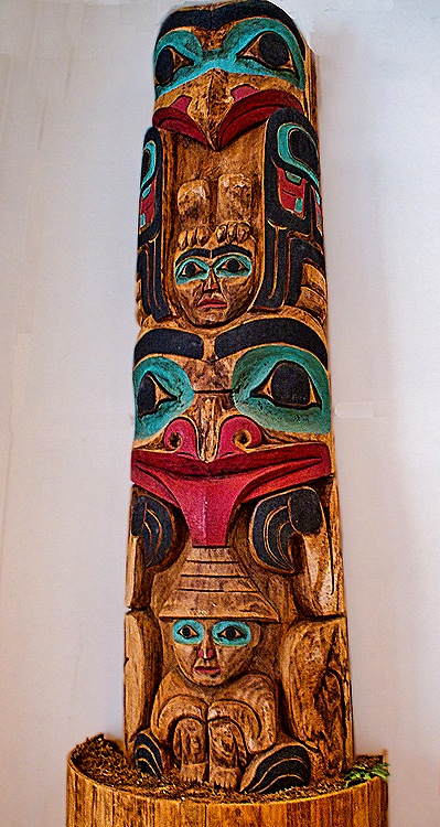
As we approached the museum we passed a set of three totem poles in a row, then a taller one around the corner of the building (which had an eagle on top and a bear on the bottom.

We were glad to get inside the building since it was raining again. On display were a number of examples of native artwork, most of which appeared to be from the late 20th century.


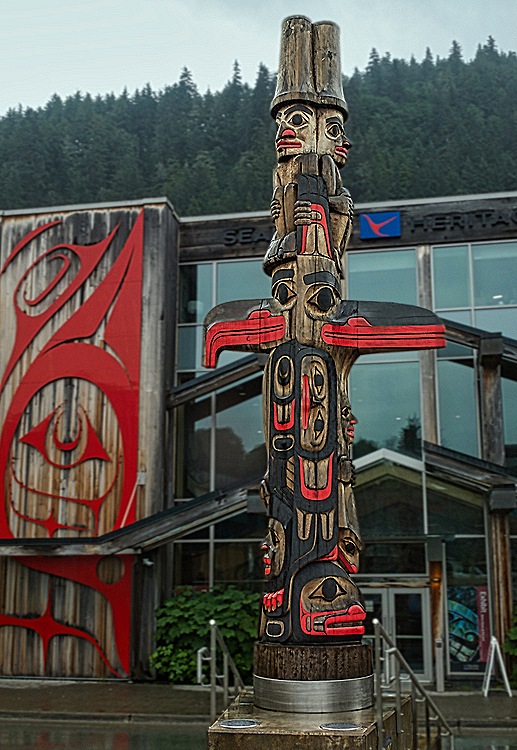
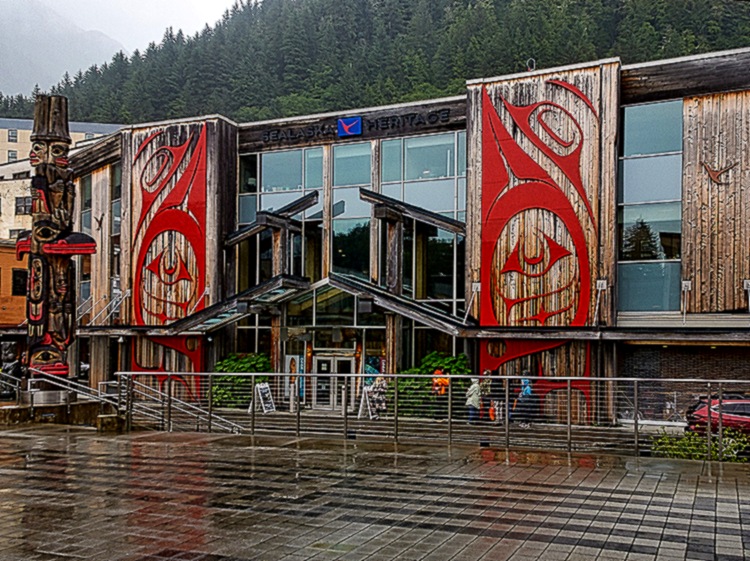
A raised plaza outside the museum had a number of sculptures on display and yet another totem pole on the edge facing the street. The pole was topped by what looked like back to back men in top hats and had a salmon at the bottom. This was a 360 degree totem pole, with carvings facing in all directions. Across the street, beyond this totem, was the Institute’s headquarters building, very distinctive with floor to roof glass and wooden panels with red reliefs on them. The main thing we saw inside was a carved and painted wall of what we think was a native style building. We were out of time to explore this building further, but near the entrance was a fabulous gift store selling mainly very impressive indigenous art.



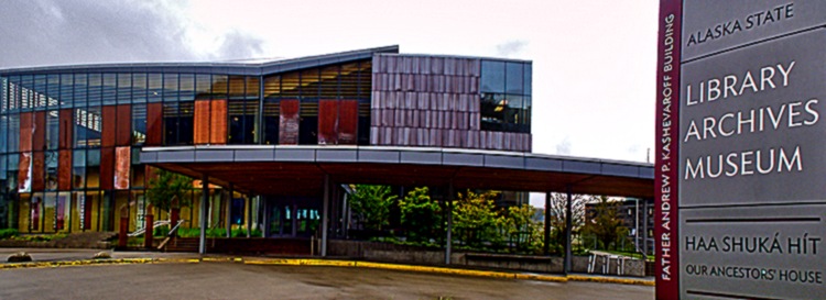
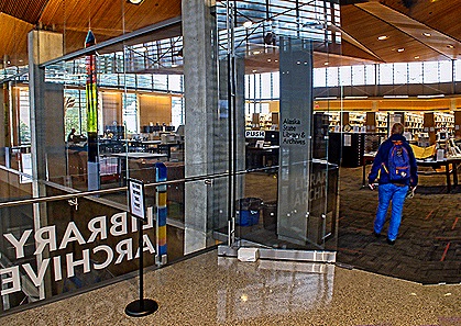
If you have read this blog before you know that we seek out libraries in the places we visit. But today was a bonus visit because we were able to visit two libraries. The public library was discussed above, but after leaving Sealaska we walked on to find the Alaska State Library. Opened in 2016, this library is on the second floor of a building that also houses the archives and a museum. Known locally as SLAM (State Library And Museum), it is an open and modern feeling facility with many displays of historic documents and pictures. Behind the front desk is a long set of beautiful stained glass panels with a wilderness theme.


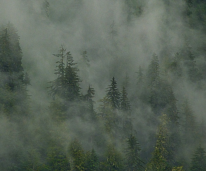
We walked back to the ship, past yet another totem pole and a view of the trees on the mountain slope wrapped in a swirl of cloud and fog.

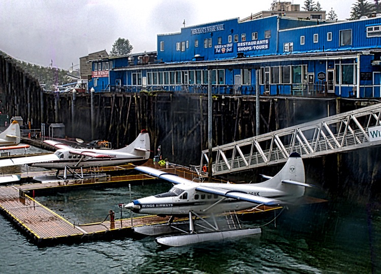
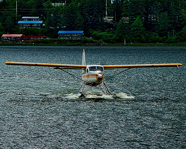
Today was our wedding anniversary and the ship was in port late so we went out to dinner. We ate at a restaurant on the dock within easy walking distance of the ship called The Hangar On The Wharf. More than 25 years old, this is Juneau’s only waterfront restaurant. More of a pub than a fancy restaurant (purportedly offering more than 100 varieties of beer), we found the food here to be really excellent. In particular, we shared a bowl of the best chowder we had ever had (made with halibut, not clams) and one bowl was enough for two meals. We also shared a huge slice of delicious Grasshopper Pie; when it came we were very glad we decided to share one slice. This is called The Hangar because in the 1930’s this was the location of a hangar for sea planes, which still land and park in the water outside the building. The restaurant is located inside the blue mall building in the picture below.


Having eaten way too much good food, we strolled back to the ship to rest up since we had a date the next morning with (what else?) a glacier.
Haines, Alaska 2025
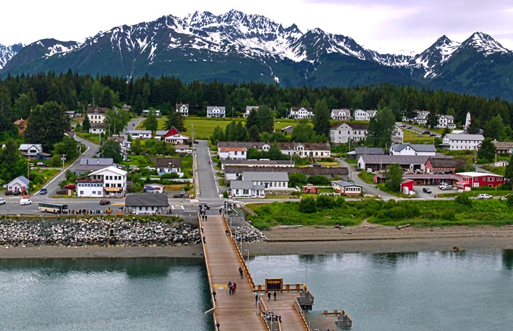
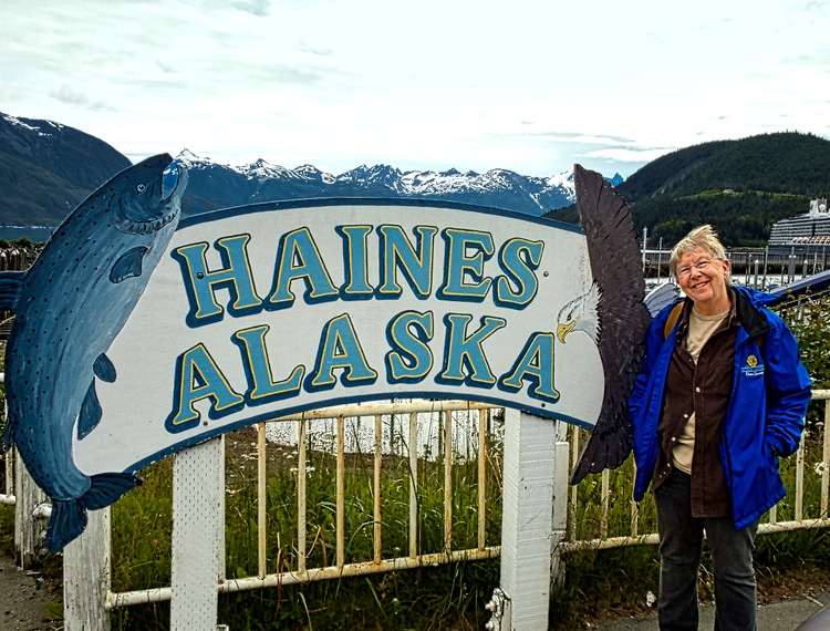
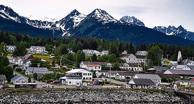
The morning of June 25 found us moored at the end of a long dock in Haines, Alaska, a very small town (pop. less than 1700) on the shore of the Lynn Canal (actually a fjord) and surrounded by the snowy Chilkat mountains.
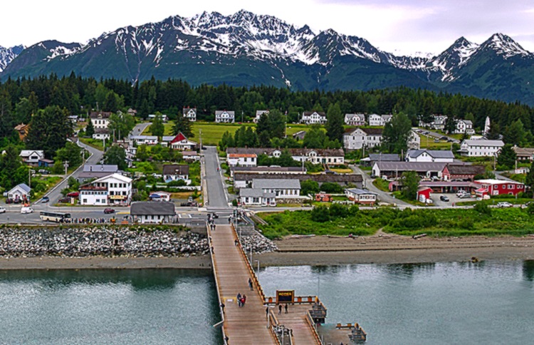
The Chilkat people had lived here for hundreds, if not thousands, of years before the first European settler arrived in 1879, followed a couple of years later by an invited group of missionaries (one of whom was John Muir). In the late 19th century Haines (named for the woman who spearheaded fundraising for the missionaries) became a notable supply port for miners heading to the gold fields over the Dalton Trail.
We were docked in front of the Fort Seward section of Haines. The fort was built at the beginning of the 20th century during a border dispute with Canada and was the only military base in Alaska before WWII. After the war it was decommissioned and eventually merged with Haines, to which it was adjacent. After breakfast we walked down the long dock and turned right to walk along the waterfront to the town. It was a pleasant walk through parks, with a lot of Spring-like flowers. We stopped at an information booth where we were given a map of the town showing the location of their many totem poles. As you will see, we put it to good use.


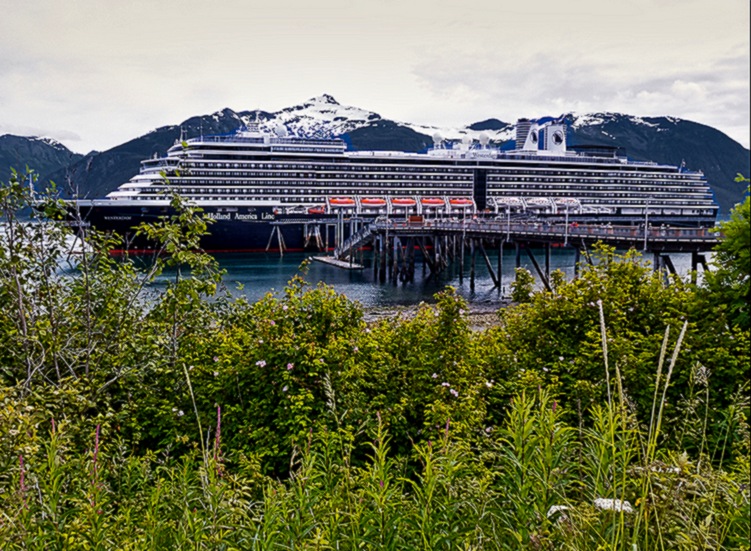

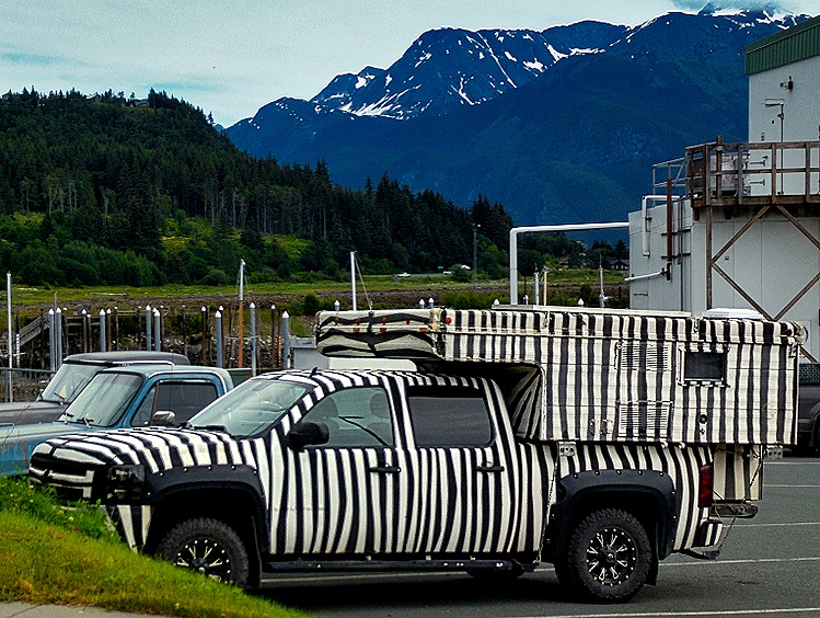

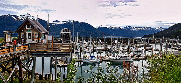
When we reached the town (not very far) we turned and walked uphill into the center of Haines. We stopped first at the Haines Sheldon Museum where we spent some enjoyable and educational time perusing the museum’s collection. Opened in 1980, the museum grew from the collection of artifacts gathered over the years by Steve Sheldon, who moved here from Ohio in 1912. The museum sits on the site of the original mission and has a totem pole and several interesting stone sculptures outside facing the street.

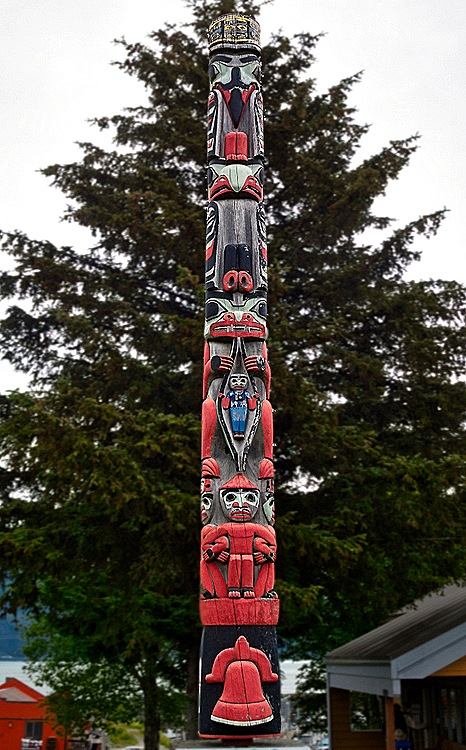

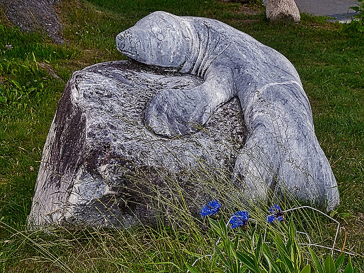
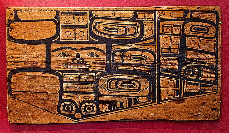
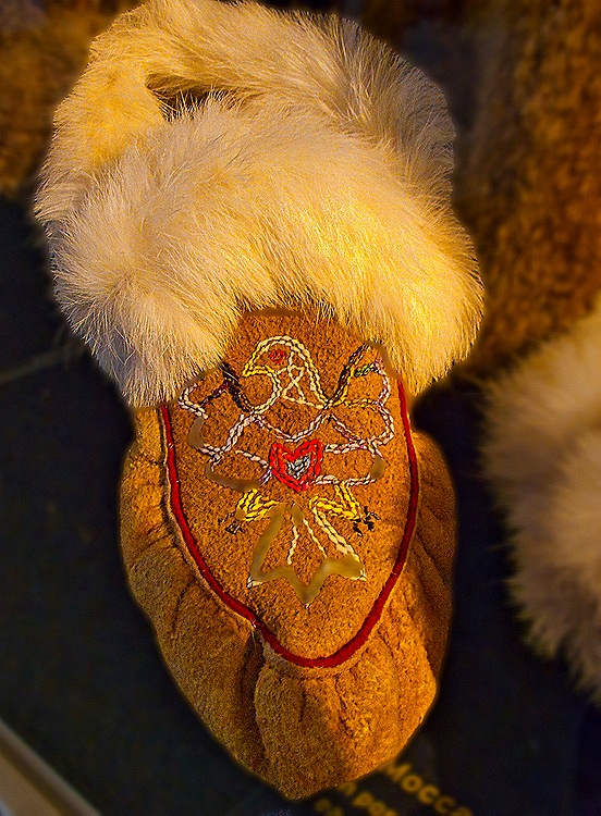
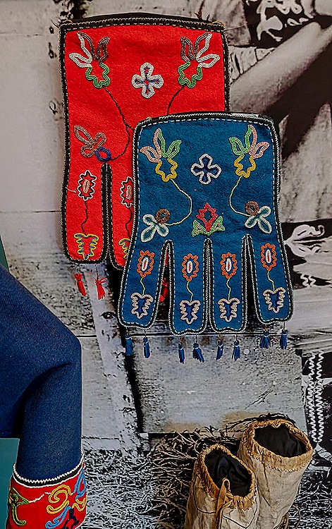
The small museum was filled with colorful Tlinget art and artifacts and quite a lot of informative signage. Among the items that caught our eyes were a pattern board, containing a design to be executed on a dance apron; a pair of moccasins with rabbit fur ruff and a porcupine quilled eagle design; a bear house clan hat carved in 1740; a raven post for a house carved by a renowned wood carver in the 18th century; and some colorfully embroidered octopus bags (named for the eight tassels at the bottom).


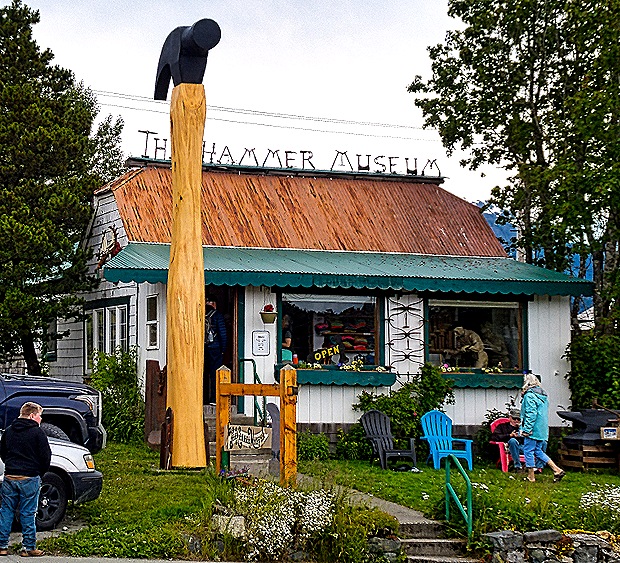
Across the street was another museum, the Hammer Museum. If you google “The Hammer Museum” you will be directed to the Los Angeles art museum founded by Armand Hammer. But the real hammer museum is right here in tiny, out of the way Haines, the world’s foremost museum devoted to collecting and displaying hammers. Opened in 2002, it has a collection of thousands of hammers dating from ancient to modern times. We didn’t go inside, but it is impossible to miss when walking up this street. At the top of the street is the health clinic, the town’s medical center, which we understand is the only such facility in town. The nearest hospital is in Whitehorse, Yukon, a 4.5 hour drive away, so this is probably not the best place to live for people needing extensive medical care. The sign for the clinic is eye catching, with totem poles supporting it on each side and a totem style design on the sign itself. There was a nice view of the mountains from this area.


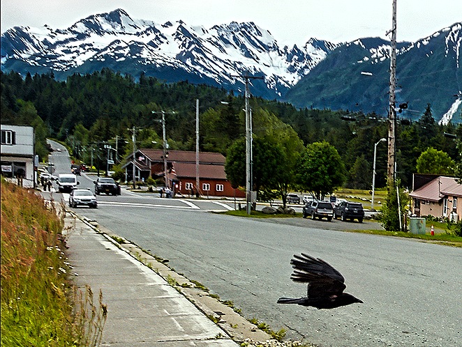
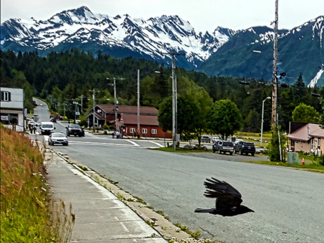
Our next visit was to the public library, which is very impressive for such a small town. Originating in 1931 the library moved to its present building in 2003. Funds and labor for the project were contributed by locals; in 2005 it was recognized by Library Journal as the “Best Small Library in America.” As we walked down a hill toward the library a raven suddenly flew across the street in front of us.

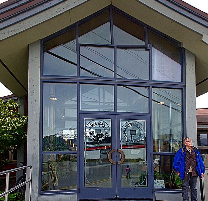


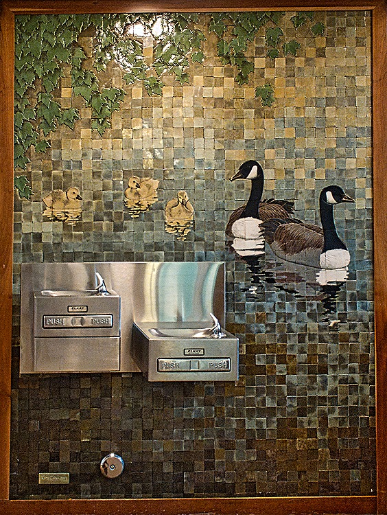
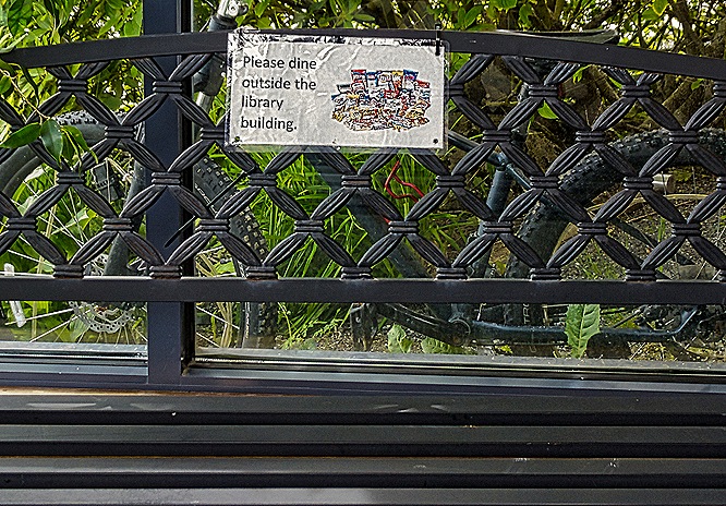
There was a good deal of local art on display inside the library. Among other things was a tile water fountain mounted on a large mosaic of a family of geese and a bench whose back is carved and painted in totem style. Another bench in the foyer just inside the entrance displays a sign suggesting a problem with people using it as a dining room. The front door itself is etched with the library’s logo.


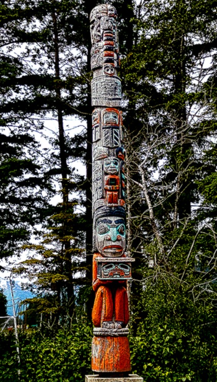
Leaving the library, we walked around the back through a lush flower garden. There we found our favorite totem pole, created specially for the library by a group led by carver Jim Heaton in 2009. Twenty feet tall, it tells the story of the library, beginning at the bottom with a woman holding a box of knowledge representing the original founders of the library. The pole is carved from an 800 year old cedar log and is named, in the Tlinget language, “Where they go to learn by themselves.” The second figure from the bottom represents a library patron holding a black book. As we were photographing the pole a local woman walked by and urged us to go close enough to read the title of the black book; “You won’t regret it” she said. She was right.




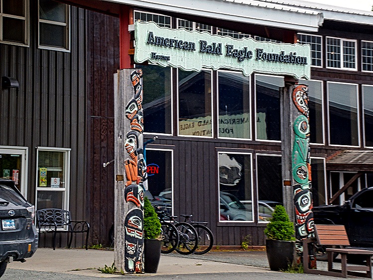
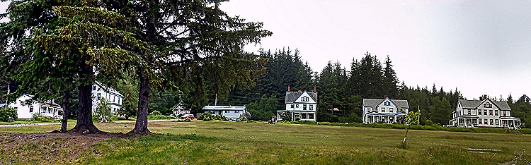
Turning back down toward the shore we walked past the American Bald Eagle Foundation, a wildlife museum (we didn’t go inside). Back at the waterfront where the ship was docked we walked uphill to explore what was once Fort William H. Seward. This was the last of 11 military bases built in this part of Alaska by the US at the end of the 19th century to keep peace during the gold rush era and to assert American claims during a border dispute with Canada. Authorized in 1898 the fort formally opened in 1904. All the other forts were closed during the 1920’s so that during the period leading to World War II this was the only one left. The fort closed in 1945 at the end of the war and was sold to private developers. Today it houses shops, art galleries, restaurants and a hotel. It was merged into the city of Haines in 1970,
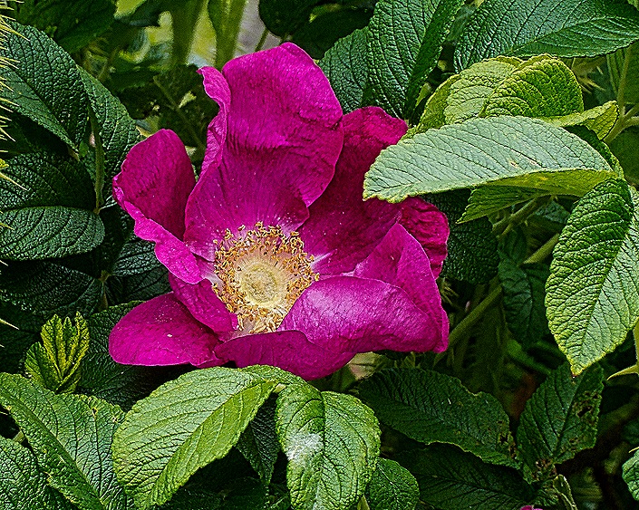
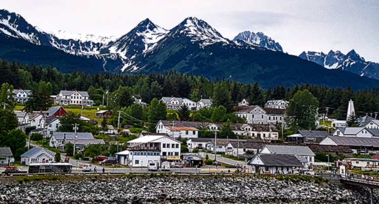
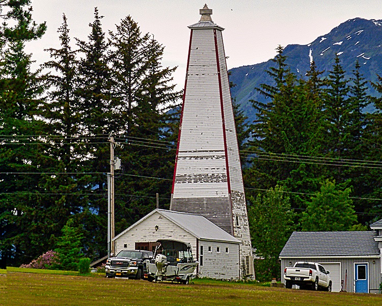

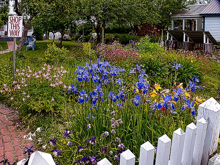
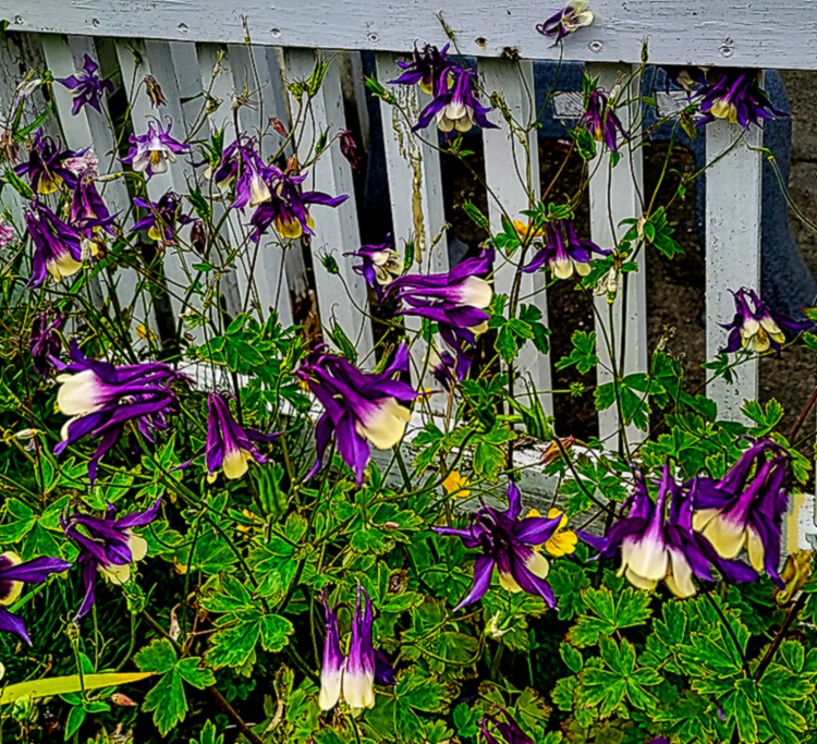
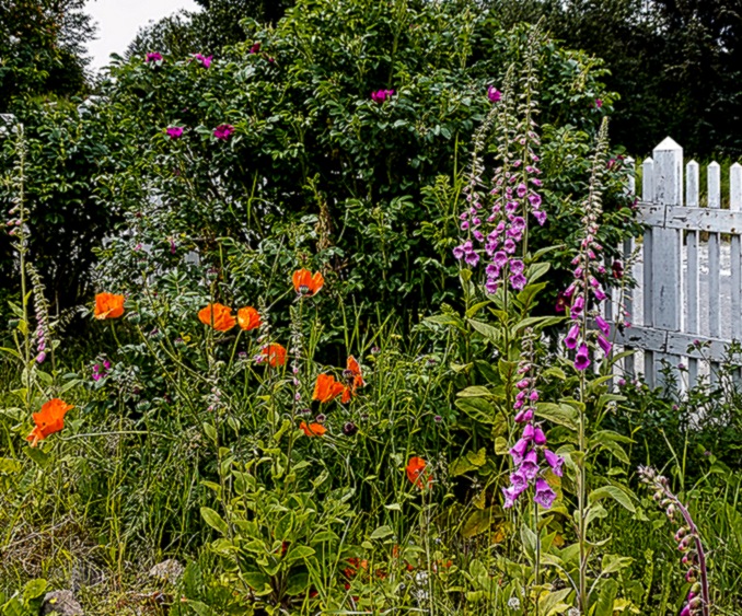
This was a nice walk, and we stopped in a shop surrounded by colorful gardens and bought some jewelry.

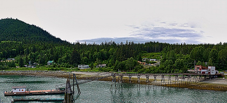
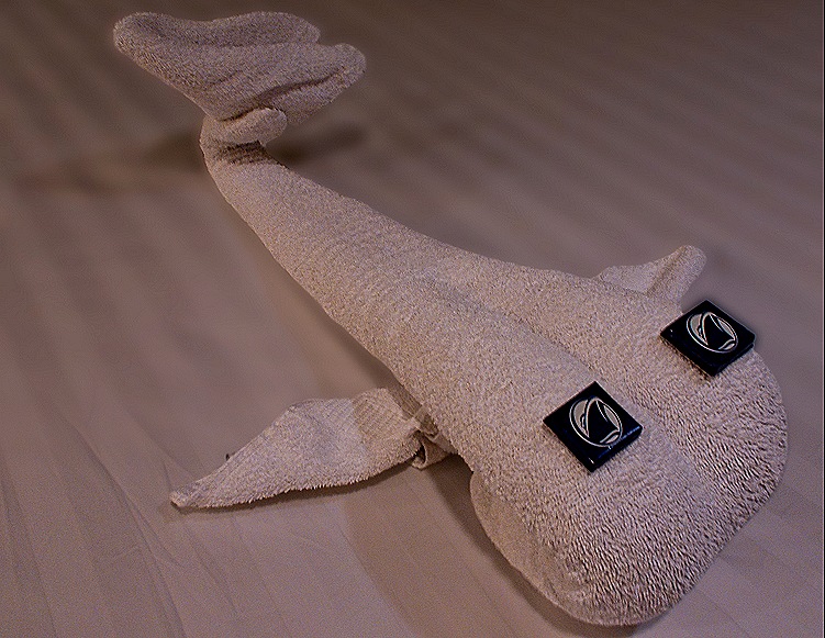
We returned to the ship, which sailed away late in the evening. But it was still light out so we have some pictures, including one of what we think is the dock for the ferry to Skagway. And after dinner a towel whale with chocolate eyes joined us in our room as we rested up for what would be another long day tomorrow.

Glacier Bay & Hubbard Glacier, Alaska 2025
Glacier Bay
By the time we got up on June 28 we were already in Glacier Bay. People have lived here for thousands of years but had to move away when the Little Ice Age caused ice to advance until it covered this entire area by the 18th century. When Captain Vancouver visited here in 1794 he did not see this bay because it was completely covered by a glacier wall 20 miles wide and 4000 feet tall, but by the time John Muir visited in 1879 the glacier had already retreated some 48 miles. Glacier Bay was designated a national monument in 1925 and became a national park in 1980. Today the Glacier Bay Park and Preserve encompasses more than 5,000 square miles and the bay itself is about 65 miles long. Since the original glacier retreated there are now more than 1,000 smaller glaciers within the park, seven of which are tidewater glaciers (meaning they terminate in the water). Most people visit Glacier Bay on a cruise ship but these ships are tightly regulated, only two permitted per day and only a handful of cruise lines permitted at all.
We had visited Glacier Bay once before, about 8 years ago. https://baderjournal.com/2017/08/14/glacier-bay-alaska/ As in 2017 the weather was chilly and overcast, with clouds often covering everything but the faces of the glaciers. Park rangers boarded the ship after we entered the bay and they would provide commentary during our visit over the ship’s speaker system.


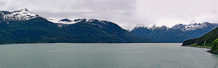
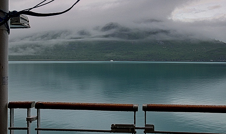
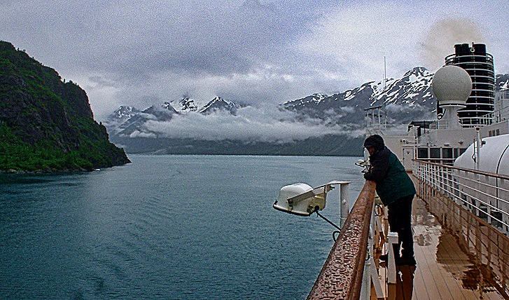
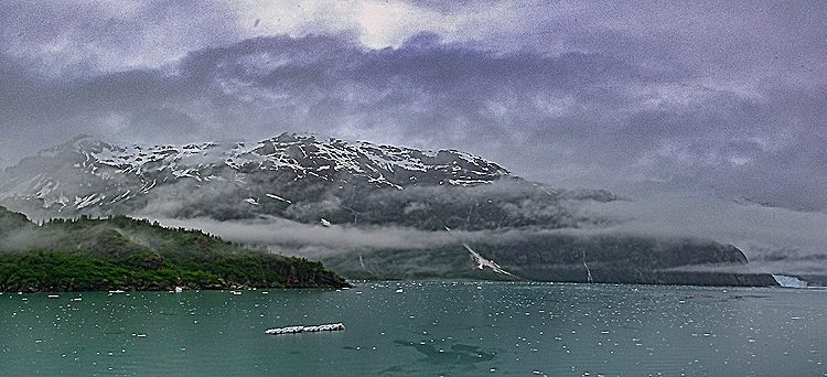
The main things to see in this area, of course, are the glaciers. But there is a lot of time spent sailing along the lengthy bay between glaciers and there is a lot of beautiful scenery to look for during that time. As mentioned, the clouds were pretty low and heavy much of the time but that just added an interesting air of mystery to the view.


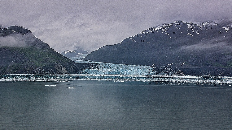
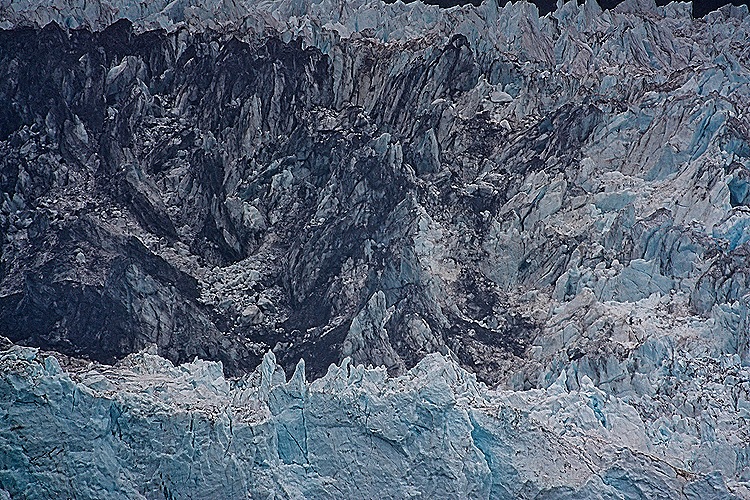
Margery Glacier is the most visited glacier in the bay. It is 21 miles long, about a mile wide at its water terminus and 250 feet tall above the water (and another 100 feet below). It is one of the most active glaciers here, known for relatively frequent calving (although we didn’t see any on this trip) and, unlike most of the glaciers in this area, it is stable and not currently receding. We sailed up Tarr Inlet to visit this glacier. We spent a good deal of time here as the captain slowly rotated the ship to give everyone a good look. In the pictures of the entire glacier face you can see a long portion on the right that is mostly black. This may be a part of the Grand Pacific Glacier which reaches the water just next to the Margery, but it is hard to tell because it is so dark, covered in dirt. The Grand Pacific Glacier is the one that covered the entire bay in the 18th century, but has since receded some 65 miles.



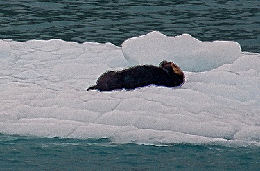
Another feature of this park is the wildlife. There is a large variety here, including whales, mountain goats, sea lions and brown bears. Sadly, we didn’t see any of those today. We found it difficult to pick out animals on shore, particularly in the gloomy weather. But we did see harbor seals relaxing on the ice floes we passed as we sailed along. Harbor seals are plentiful in Alaska. They can grow up to 6 feet long and weigh up to 350 pounds. And their lifespans extend to 25 years for males and 35 for females. We also saw a moose swimming across the bay. It was quite far away, looking almost like a dot to the naked eye, but extensive enlargement of the photo made clear that it was a moose. Like the one we saw near Anchorage, this appears to be a male moose whose horns are just starting to grow. We were told that this is a pretty rare sight for a visit to Glacier Bay.


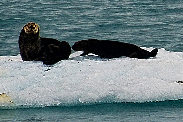
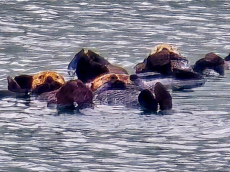
There were a lot of seagulls flying around and sitting in the water. Best of all, there were sea otters floating by on ice floes, looking like they were curious about the ship. Sea otters were once plentiful in Alaska, all the way north into the Bering Sea. But their fur became highly prized, mainly because it is the thickest fur of any animal with about a million hairs per square inch. This pelt insulates them well from the cold water, and also traps air near the skin to provide further insulation. But in the 18th and 19th centuries the Russians, and later others, hunted them almost to extinction (about 1,000 or 2,000 remained). The Russians enslaved native people and held their families hostage to force them to hunt otters for them. But sea otters are now back in Glacier Bay in large numbers and are considered one of the great success stories of conservation efforts (although apparently their numbers have fallen a good bit again in the Aleutian area). Sea otters are very interesting and attractive animals, particularly because they generally swim on their backs with their big feet sticking up out of the water and with their young (if they have any) lying on their bellies. We only saw sea otters here sitting on ice floes, but we are including here a picture taken by our friend Susie when we were near the Arctic Circle that shows several sea otters floating on their backs.


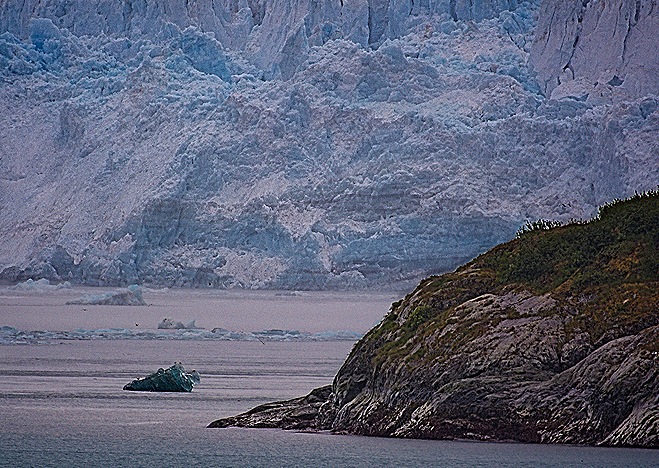
Sailing back from Tarr inlet we came upon Lamplugh Glacier at the mouth of Johns Hopkins inlet in mid afternoon. This glacier is about 19 miles long and its face is about 9 tenths of a mile wide and 165 feet high. It is known for its blue color (caused by tightly packed ice that absorbs all light colors other than blue), which looks brighter the closer you get. Much (if not all) of the dirt and debris on the ice comes from a mountainside that collapsed onto the glacier in 2016. The Johns Hopkins inlet leads further to Johns Hopkins Glacier but it was not accessible the day we were here. Lumplugh was the last glacier we visited. On our first visit to Glacier Bay we had seen an island full of sea lions on our way out of the bay, but not today.


Hubbard Glacier
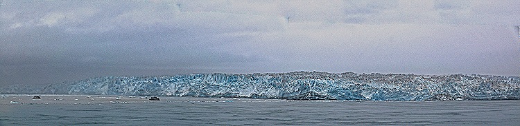
On June 29 we visited Hubbard Glacier, the largest glacier in North America. It is more than 75 miles long, 7 miles wide at its face, and rises 350 feet above the water (and another 250 below). Hubbard is an advancing glacier and often calves off icebergs as big as a 4 story building but we didn’t see that today. It is located at the end of Disenchantment Bay, a 9 mile extension of the larger Yakutat Bay. The tiny town of Yakutat is known as the surfing capital of Alaska but we sure wouldn’t want to get in the water in the kind of weather we had here.

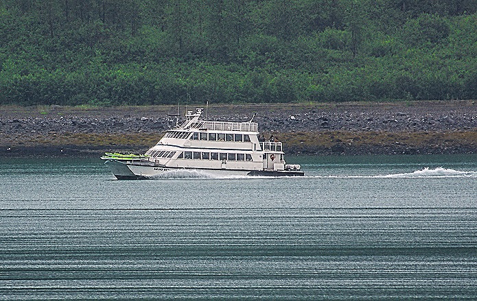
We had pretty bad weather for this visit, with clouds, choppy water and a good bit of ice floating in front of the glacier. The captain made heroic efforts to get us a good view of the glacier, approaching from the right and again from the left, and we were able to see it even though the photographs are not so great. As usual the ice patterns on the face of the glacier were most interesting thing, and a couple of small excursion boats were in the water much closer to the glacier than we could get.


So that was it for two days of glacier gazing. These glaciers are all pretty interesting and quite beautiful, but two days of them in a row was plenty. As we sailed out of Yakutat Bay and heading for an actual port we enjoyed our dinner and went to bed, with only a towel animal for company.


Anchorage, Alaska (overnight) 2025
We docked late on the morning of June 25 at Anchorage for a two day stay. The dock was part of a military base called Joint Base Elmendorf-Richardson, which is where the Trump-Putin summit was held less than two months later. Our side of the ship faced the land and in the distance, well beyond the rather uninteresting buildings in the area, was a beautiful mountain range glowing in the sun along with the clouds above it.

Anchorage is by far the largest city in Alaska with a population of close to 300,000. It was named (sort of) by Captain Cook, who visited here in 1778. He called this area Anchor Point because he anchored his ship here; it was later changed to Anchorage because there was already an Anchor Point near Homer, Alaska. Cook Inlet, through which we sailed to get here, was named for Captain Cook. The area has been inhabited by Native people for at least 5,000 years. The city began as a tent city housing American railway workers in 1914 and was incorporated in 1920.
DAY 1
We were not permitted to walk through the military base toward Anchorage for security reasons so we took the shuttle bus that was provided into downtown Anchorage. (We were told that this was one of the most secure bases in the country, but they let us ride through it several times requesting, but not checking, that we not take pictures on the way, so that doesn’t seem especially secure.) We were cautioned that if we were not on time to catch the last shuttle to the ship we would have to find somewhere else to sleep because unauthorized vehicles (like taxi’s) were not permitted to enter the base.
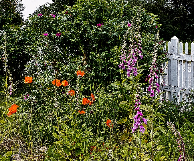
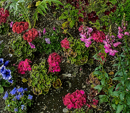
The shuttle bus dropped us off at the Egan Center, a convention center in the middle of town, and we spent the day walking around. Across the street was a park with some very colorful flowers.


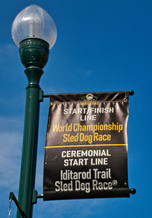
We visited the ceremonial starting line for the annual 1,000 mile Iditerod sled dog race, the finish line for which we had seen in Nome. There was a statue of a sled dog nearby. Interestingly, we read that the mushers put booties on their dogs to help them withstand the wear and tear on their paws, typically using between 1500 and 3000 of them during the race.

We discussed the 1964 Anchorage earthquake in the Valdez episode. This was the largest earthquake ever recorded in North America (9.2 on the Richter scale) and the second largest in the world. Tsunamis reached as far as Antarctica and Anchorage was devastated. We walked past the JC Penney Building, which was constructed after their original 5 story building on that site (which had just opened in 1962) was destroyed by the earthquake. We also walked past the United States Courthouse, which may be famous for other reasons but is notable to us because Rick argued (and won) a case here about 30 years ago.


The Anchorage Museum is a sizeable museum in downtown Anchorage devoted to all aspects of Alaska. Its glass facade faces a lovely green park full of flowers and surrounded by trees. It also has an interesting gift shop.


We spent a good amount of time perusing the exhibit halls in the museum. There were some rooms devoted to sled dogs and an exhibit of striking blue and white paintings of Alaskan landscapes (the photo does not do them justice). The Smithsonian’s Arctic Studies Center has a large gallery here of Alaska native artifacts on long term loan. We found this quite interesting.
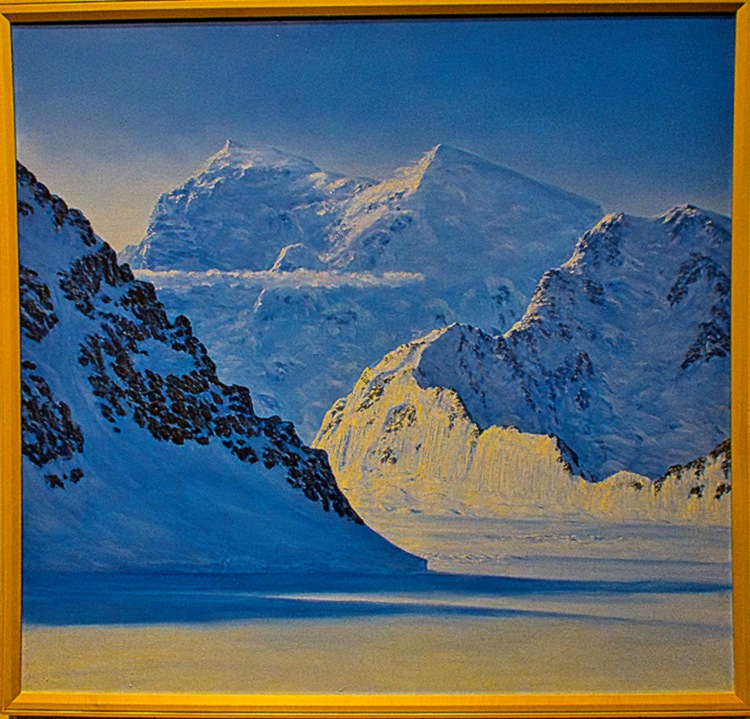


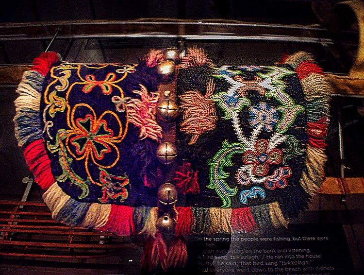
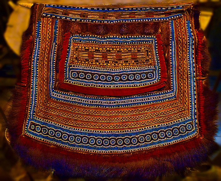


We intended to have a late lunch at a famous pizza restaurant we thought was nearby, but after walking several blocks uphill we found that it was still pretty far away. So we found another restaurant downtown called Tent City (the original name for Anchorage when folks were still living in tents). It turned out to be quite interesting with very good food (and beer). We sat at a long dining bar in the front window and across the street was a colorful mountainous wall mural. Rick had halibut fish & chips & Mary had a hamburger with the restaurant’s name and logo burned into the bun. There were some interesting old photos of Anchorage inside from when it actually was a tent city.


After lunch we walked back to the Egan Center and waited in a long line to board a shuttle back to the ship. Still another day to go in Anchorage.
DAY 2
We had booked an excursion offered by our travel agents for this day that would take us out of town, but it started out pretty badly. There were supposed to be two vans that would be about half full but at the last minute one of the drivers called in sick. Instead of finding another driver the local tour company just sent us one van and it was too small to hold the full complement of excursioners. So Keith and Susie, our travel agent’s hosts on this voyage who were supposed to lead this excursion, had to stay at the ship and miss the tour. While our driver/guide did a fine job we hope our travel agents find a different company next time.
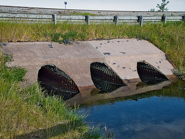
We visited two locations on this tour. First was Potter Marsh, at the southern end of the Anchorage Coastal Wildlife Refuge that borders the Turnagain Arm of the Cook Inlet. The area was originally quite turbulent from the tides of Turnagain Arm but in 1917 railroad construction cut it off from the tides and created the calm water lands we visited today. The marsh sits between the Seward Highway running along the seashore and the Chugach Mountains, quite visible beyond the marsh. We walked along a 1500 foot long raised boardwalk through the marshland. Among other things, there was a culvert built under the highway to enable salmon to enter the marsh and Rabbit Creek to spawn. Unfortunately no salmon were there when we visited.

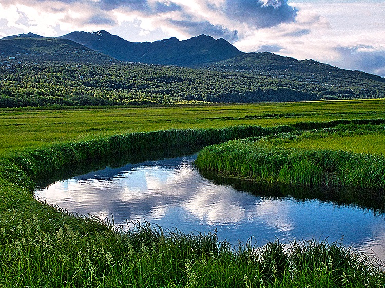

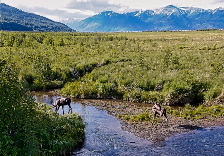
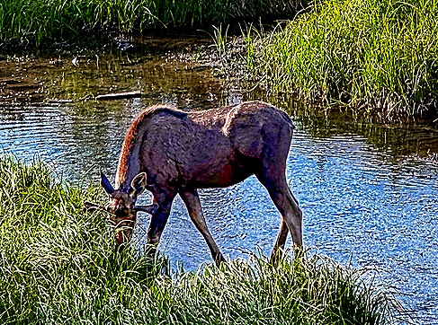
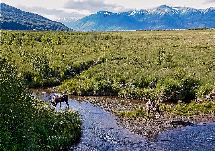
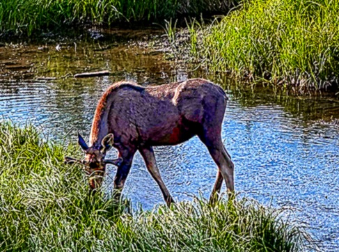
We saw very little wildlife this morning, at least not sitting still where they could be seen and photographed. The big exception was moose. We saw a moose couple grazing and drinking in a creek. It was early enough in the year that the male’s horns were just beginning, extending maybe 6 inches from his head under his ears (hard to see because his face was obscured by the grass he was eating).

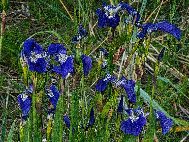
Among the flowers near this place was a bed of Cow Parsnips, large white flowers we saw in many places while in Alaska. Nice to look at, but don’t touch! Touching them makes your skin hypersensitive to light, causing painful sunburn, and its effect can last for months. Ani, our guide in Kodiak, told us she once picked one because she was wearing gloves, but when she later lightly pushed her hair back from her forehead the damage was done. Driving back along the Seward Highway there was spectacular scenery yet again.


The Alaska Native Heritage Center, which opened in 1999, sits in 26 acres of lush green surroundings near the edge of Lake Tiulana about 10 miles south of central Anchorage.

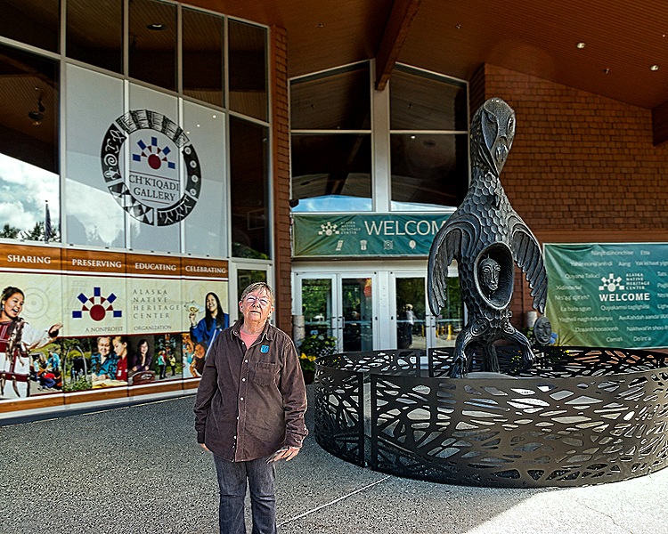
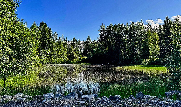
The Center’s main building contains exhibition space and a large performance venue, as well as an interesting gift shop and space for individual vendors. Around the lake are six areas displaying traditional dwellings of six native cultures, along with some totem poles and young people explaining each site. We visited several of these interesting dwellings, which included some beautiful artwork inside in addition to the totem poles outside.
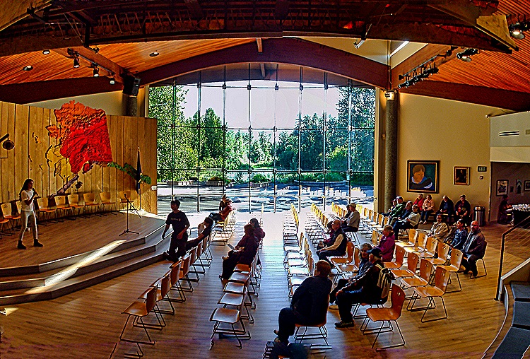


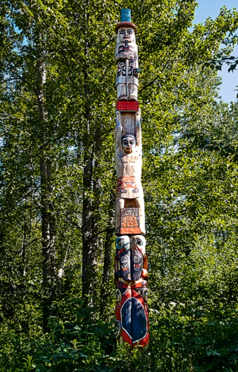


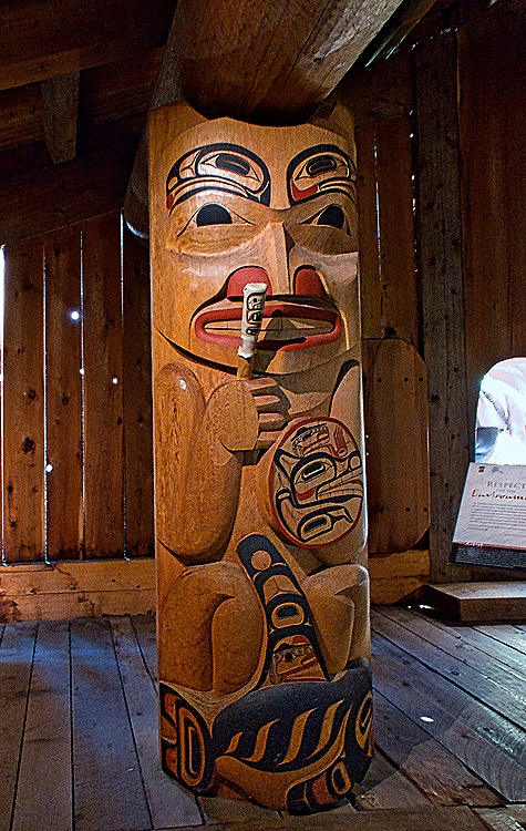

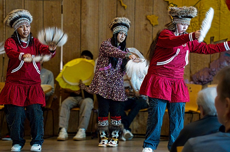
We saw two performances on the stage in the performance hall, both by groups that looked to be high school and/or college age. First was a group of several fellows demonstrating competitions conducted by the indigenous people. One of them was a high kick, in which he tried to kick a ball suspended well above his head. The second group consisted of female dancers in native attire and some males playing drums made of cloth or skin stretched on a wood hoop. These performances were interesting and fun.


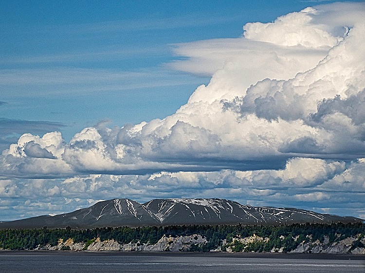
We returned to the ship, passing more vivid scenery across Cook Inlet, and after lunch spent the rest of the day relaxing. We watched several groups of military jets passing over our balcony.
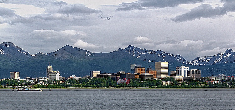
We departed Anchorage shortly before dinner and watched the city skyline grow smaller as we sailed away. The yellow building in this picture is the ConocoPhillips Building, the tallest in Alaska.