Latest

Hilo, Hawaii (2024)

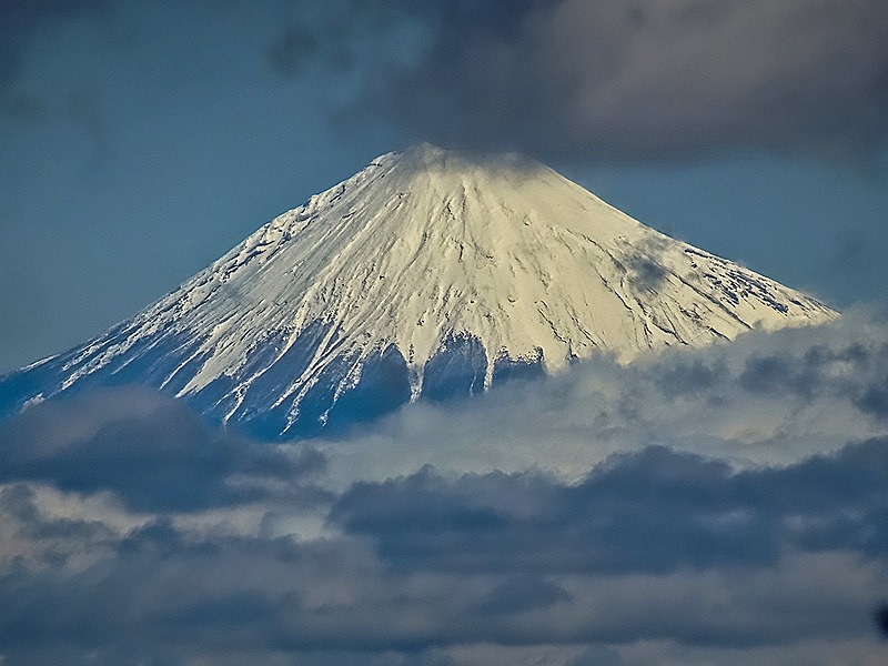
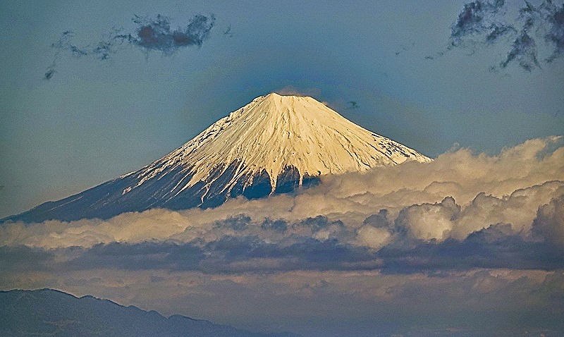
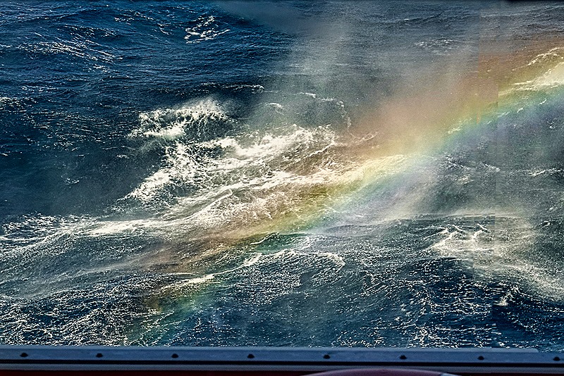
     After leaving Kona we spent the night sailing around the northern part of the island of Hawaii to reach Hilo, on the eastern side, early in the morning.  Sailing along the coast we saw what looked like a pink effect from the sunrise, but on closer inspection of the picture it appears to be mountains.  These are probably one or two of the volcanoes that are near Hilo:  Kilauea, Mauna Kea and Mauna Loa.  As in Kona we saw a rainbow as we reached the port; they seem to be plentiful here from our experience.

DSC08969_stitchDSC08961_stitchDSC08968

     Hilo was originally settled by Polynesians between 900 and 1500 years ago and westerners, in the form of missionaries and commercial ships, arrived in the 1820’s.  This area had a thriving sugar industry, employing thousands of workers imported from Asia, but the sugar mills closed in the 1990’s.  Today Hilo has around 45,000 people and tourism is probably the major industry.

     You may well think of Hawaii as a tropical paradise and nothing in our experience today would contradict that (as long as the occasional killer tsunami (1946 & 1960) and town destroying volcanic eruption (last in 2018) don’t contradict your understanding of paradise).  We spent the day on a private excursion with our friends Tina and Rick (referred to here for obvious reasons as “the other Rick”) to explore the area, mostly along the coast outside the town.

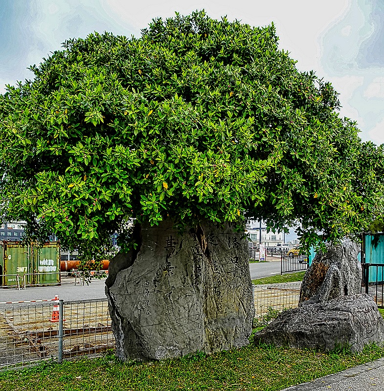
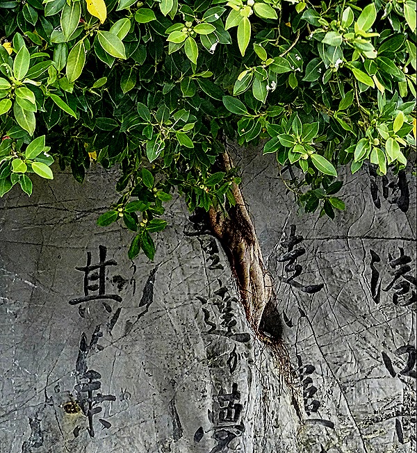
     We drove along Banyan Drive, a road on the Waiakea Peninsula lined with some 50 large banyan trees up to 90 years old.  Most were planted by, or to honor, local and national celebrities when they came to town.  The first were planted in October, 1933, when Cecil B DeMille was here to film a movie.  Babe Ruth was also in town for some exhibition games and he planted one shortly after the movie folks (pictured below).  Other celebrities who have planted Banyans include Amelia Earhart, Franklin Roosevelt and Louis Armstrong (whose tree mysteriously disappeared).

DSC04434_stitch

     From here we drove to Hawaii Tropical Botanical Garden.  This is a 17 acre garden running down a hillside to the edge of Onomea Bay.  Containing some 2000 species, both Hawaiian and imported from as far away as Madagascar, it has almost 200 species of palm trees (some 100 years old) and numerous others too numerous to list.  There is also an excellent system of paths and boardwalks, which is helpful because the walk down (and up) is pretty steep, with a 500 foot drop.

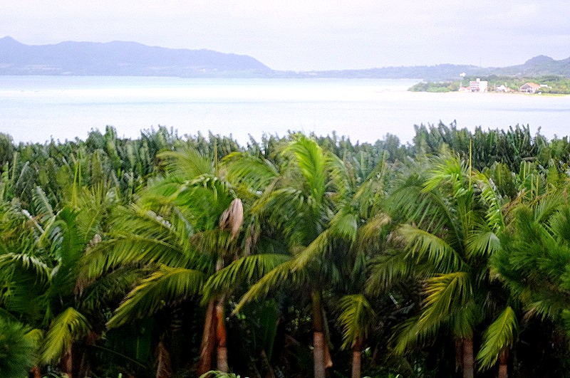
     While this area had previously been the site of fishing villages and then sugar mills and shipping, it fell into disuse and by the 1970’s it had become a dense jungle.  The founder of the gardens began developing it in 1977 leading with a team of workers, doing all the work by hand in order to avoid damaging the roots of trees and plants.  The garden opened in 1984 and today is owned and operated by a nonprofit trust.  At the edge of the parking lot was a very dense looking palm jungle that may be what the whole area looked like in 1977 (and also two little yellow birds we think were Saffron Finches).  We walked across the road and entered the gardens.

DSC04437_stitchDSC04440DSC04442DSC04626

     We walked down the long boardwalk from the entrance.  There are going to be a lot of flowers and trees shown here (paradise, right?), but we only know (or suspect) the names of a relative few.  But they are all worth looking at anyway so we will include them here.

DSC04443DSC04450_stitchDSC04445DSC04446DSC04449DSC04455DSC04447DSC04456DSC04457DSC04458DSC04459

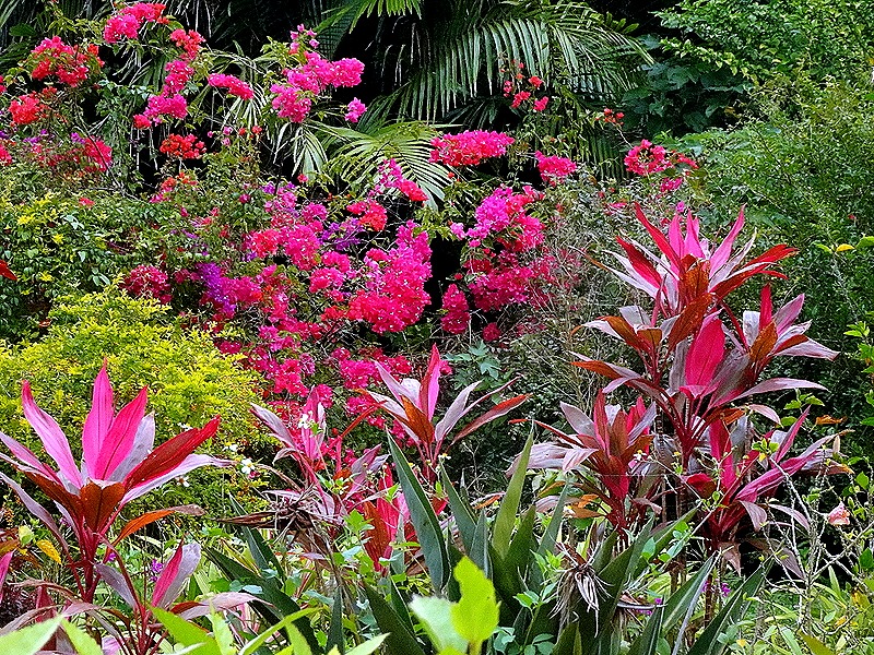
     We walked on through large stands of very tall palms, some with air plants (bromeliads?)growing on their trunks.  Also many more brightly colored flowers.

DSC04461_stitchDSC04475DSC04463DSC04465DSC04460DSC04468DSC04469DSC04472DSC04477DSC04474

     Onomea Falls is a small three tiered waterfall, discovered behind the dense jungle during the original clearing operation.  Walking on from there we passed many more beautiful flowers, palms and ferns.

DSC04479_stitchDSC04491DSC04489DSC04484DSC04492DSC04493DSC04494DSC04496DSC04499DSC04495DSC04498DSC04487

     We walked on through a seemingly endless garden of flowers and trees, including tall bamboo and other trees, many with bromeliads growing on trunks and branches.

DSC04500DSC04510DSC04514_stitchDSC04506DSC04502_stitchDSC04511DSC0450520240207_093558DSC04513DSC04504

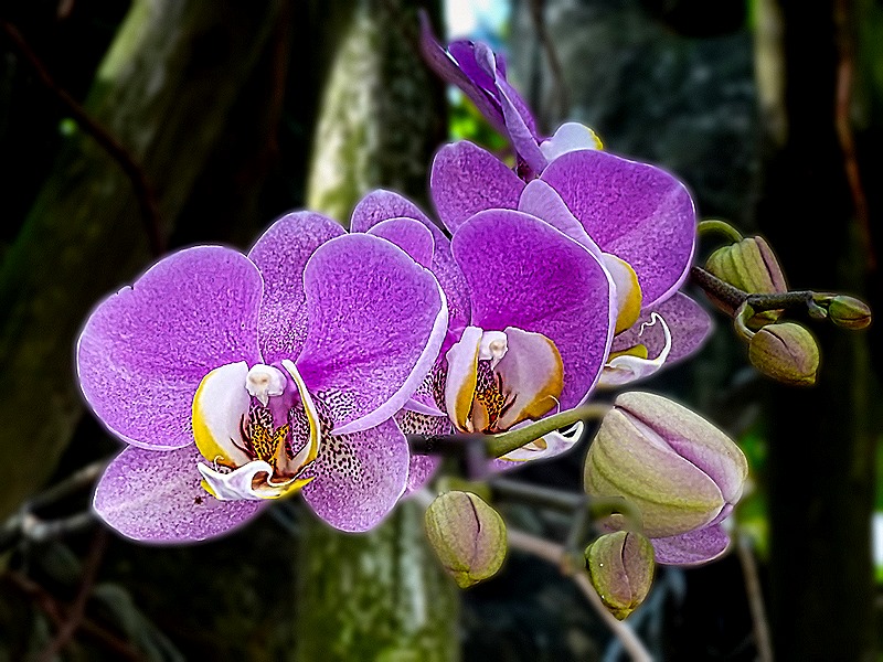
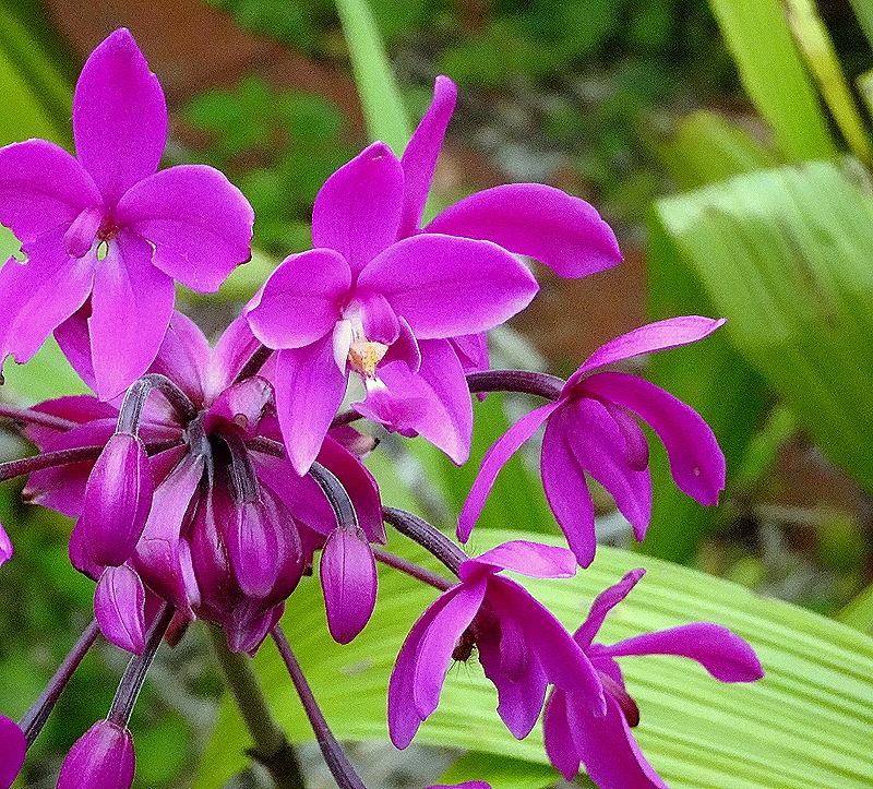
     We came to the orchid garden, with a range of orchid types.  There are thousands of orchid varieties so they had plenty to pick from.

DSC04507DSC04518DSC04520DSC04526DSC04522DSC04521DSC04523DSC04524DSC04528DSC04535DSC04530DSC04531   

     After the orchid garden, yet more diverse flowers and trees, including red leaf obake.

DSC04529DSC04537DSC04536DSC04532DSC04541_stitchDSC04547DSC04534DSC04549DSC04550DSC04540DSC04551     There was a peaceful Lily Lake in lush surroundings amid yet more flowers and plants.DSC04552_stitchDSC04565DSC04562DSC04556_stitchDSC04558DSC04560DSC04566DSC04561DSC04563_stitch

     We found ourselves near the water’s edge next to Onomea Bay.  A plaque here said that a village called Kahali’i once stood here.  According to legend, when many canoes with sails appeared out in the waves the chief called for a pair of young lovers to volunteer to give their lives to protect the village.  A couple volunteered and stayed by the shore while everyone else was instructed to stay indoors all night with doors and windows closed.  In the morning they went to the shore and the young couple was gone but there was now a pair of rock formations connected to each other barring the way into the bay.  Called Twin Rocks, they stand there still, as you can see below.

DSC04569_stitchDSC04571DSC04581DSC04586DSC04576

     In the other direction was an excellent view of surf coming in to the shore.  In the distance we could see a mound of rock which we think might be all that is left of the Onomea Arch, a large landmark carved from the cliffs by the Pacific that stood for thousands of years before falling in 1956 during an earthquake.  (The remains of the arch might instead be the last part of the ridge into the sea in the first picture of the bay, above.  We really aren’t sure, but it’s probably one of those.)

DSC04591DSC04592DSC04589_stitchDSC04594DSC04587

     We soon began the long uphill walk back to the park exit.  Of course, there were many more flowers and trees to see along the way, including one tall tree sporting a huge number of small brown potato looking fruits (probably growing on a vine).

DSC04595_stitchDSC04597_stitchDSC04605DSC04603DSC04606_stitchDSC04613DSC04615gDSC04617DSC04618DSC04604DSC04622DSC04619DSC04620DSC04623DSC04610DSC04624_stitch

     Leaving the gardens we drove a very short way and walked onto a white wooden bridge spanning Onomea Stream, a picturesque spot with a small waterfall and a lot of boulders in the water.

DSC04632DSC04636_stitchDSC04628

     We stopped for a tasty fish and chips lunch at Kaleo’s Bar & Grill in Kea’au where our guide was a semi-regular, then drove a good way to reach Rainbow Falls.  Its name comes from a rainbow that forms sometimes in the mist at the bottom of the falls, usually early on a sunny morning.  However we were there later and a fairly heavy rain fell as we drove there, enough that we thought we would be standing in the rain to see the falls.  But the rain magically stopped completely just as we got out of the car.  We walked a short distance to the falls, where only a few people were gathered.  The falls was very nice, with two streams (we are told it can be much larger and faster if a lot of rain has fallen upstream) combining to drop about 80 feet in front of a large natural lava cave that is supposed to be home to the ancient Hawaiian moon goddess Hina.  But with our arrival in the afternoon and the rain having suppressed the mist at the bottom there was no rainbow.

DSC04639_stitchDSC04643DSC04644

     We next made a brief stop at Wailoa state park in Hilo.  Here we saw one of the large statues of King Kamehameha the Great.  Erected here in 1997, it is 14 feet tall (about twice the man’s actual size) and includes a helmet and cloak that are golden.  Not far away the graceful Waiolama Footbridge crosses the mouth of Waiākea Pond.

DSC04646_stitch luminarDSC04648 Neo

     We drove to the Puna district along the east coast where much of the lava from the 2018 eruption of Kilauea reached the ocean, after destroying several towns and burying wide swaths of land and buildings.  This area is characterized by black lava cliffs and black sand beaches, ocean waves crashing ashore and palm forests.  Our first stop was MacKenzie State Park above some cliffs dropping into the ocean.  It has tables and seats carved out of lava where you can picnic and beautiful vistas of waves crashing into the lava cliffs.

DSC04650DSC04654DSC04651DSC04653DSC04656_stitch

     The surf rushes into recesses in the cliffs so fast that it leaps into the air and sometimes there are rainbows in the resulting mist.

DSC04658_stitchDSC04660DSC04662

     Isaac Hale Beach Park was a popular location for swimming and boating in Pohoiki Bay, with a boat ramp opening into the ocean.  But the 2018 eruption changed all that.  The boat ramp is still there, but it leads only into a large pond created when the lava flowed down and filled the bay leading to the ocean.  Miraculously, it stopped just short of the boat ramp.  Beyond a high ridge of lava rock is a new beach created by the eruption.  We have read that the lava extended most of the land along this coast up to a mile further into the ocean, enlarging the island of Hawaii by several square miles.  We could see the new black sand beach formed beyond the ridge of lava rocks near the boat ramp (with a few plants already fighting their way to the surface of the lava).

DSC04663a_stitch

DSC04671_stitch

     As we drove on piles of lava rock lined the road, presumably created when the road was cleared after the eruption ended.

DSC04675DSC04678

     We stopped at one more spot along the coast.  We don’t know its name but Laurence told us that it was on this spot that he decided to live in Hawaii forever.  It is very beautiful, with many palm trees along a sea cliff with waves bashing the shore, a classic Hawaiian vista.  There was also a small natural bridge made of lava; signs said it was dangerous but Tina and the other Rick ventured out there anyway (and lived to tell the tale).

DSC04680DSC04687DSC04688DSC04682DSC04681

     We drove back to the port along the Red Road (we think), which was originally a one lane road of red asphalt but has since been expanded to two lanes of black asphalt.  People still call it the red road though.  It winds through a variety of settings, most dramatically through tree tunnels like the one below.

DSC04689

     So this was a very full day with many spectacular sights, thanks to our guide, Laurence, and Tina who arranged it.  There is still a lot to see in this area though, so we are hoping to return here sometime.  One day is just not enough.  The sun set and we sailed away.

20240207_070322-gigapixel-low_res-scale-6_00x (2)

Kona, Hawaii (2024)

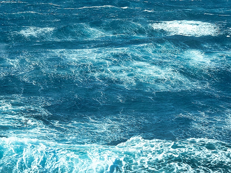
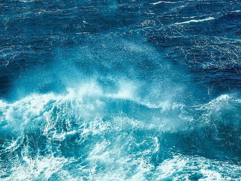
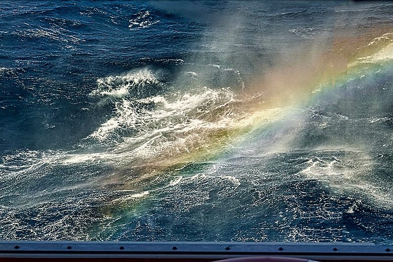
     After six full days crossing the Pacific Ocean we arrived in Kona in the morning on February 6.  The ocean was very rough for most of this crossing, making it difficult to walk down the halls without falling into the wall.  We approached Kona along the seacoast, where there was a lot of green and a mountain in the background that may be Hualalai volcano.  We also saw a rainbow, a good omen for sure.

DSC04325DSC04327DSC08938_stitchDSC04333

     Polynesians most likely first reached Hawaii, travelling on large canoes, between 1,000 and 1,500 years ago.  It is thought that some from the Marquesas Islands (Nuka HIva, etc) arrived around 500 CE, give or take a few hundred years, and then settlers from the Society Islands (Tahiti, Bora-Bora, etc) came around 1,000 CE.  The separate islands mostly had their own kings until Kamehameha I, using Western firearms and cannon in addition to traditional weapons, unified (ie. conquered) the entire archipelago in a series of wars in the late 18th and early 19th centuries.

     Captain Cook was the first European to discover what he called the Sandwich Islands (after his aristocratic sponsor) in 1778.  He was killed by the local people 12 miles from Kona in 1779; the story is interesting and controversial but too long to include here.  Americans began to immigrate in earnest in the 1820’s when several ships of New England Protestant missionaries arrived and began a lengthy and ultimately successful campaign to convert the Hawaiians.  Some of their descendants became important (and wealthy) leaders in the the island’s economy (one missionary, for example, was named Dole and his offspring were leaders in pineapple production).  The Kamehameha dynasty was deposed in 1893 by a group of wealthy American residents (with support from an American warship) and Hawaii became an American territory a few years later and a state in 1959.  The history of American activity in Hawaii during this period is controversial and rather sordid, and its effects continue to this day.  As was true in other parts of the New World, the native Hawaiian population declined by about 80% in the hundred years after Cook’s arrival, mostly from disease, and today most residents with native Hawaiian ancestry are of mixed heritage.

      So the Kona district had an important role in Hawaiian history, as the site of Captain Cook’s death, the landing of the first missionaries and the starting point of Kamehameha’s conquest of the islands.  There is no deep sea port here so Zuiderdam dropped anchor on the outskirts of Kailua Bay and we tendered to Kailua Pier in the center of town.  This Pier was was completed in 1918 and served as a cattle and cargo dock until tourism became dominant in the late 20th century.  Today it also hosts the sea leg of the annual Ironman competition.

DSC04352DSC08943_stitch

     While most people outside Hawaii call this place Kona, the actual name of this town (like the bay) is Kailua.  Kona is the name of the district in which the town is located.  So it is often called Kailua-Kona (especially on signs) and referred to only informally as Kona or Kona town.  For convenience we will use Kona.  You may recognize that name from the coffee grown here in the rich volcanic soil, which is quite expensive here in its pure form, less expensive in Kona blends that may have only 10% actual Kona coffee. 

     This is a small town, about 20,000 population, and we had not been here before so we spent our day walking around on our own.  Three notable features were evident without stepping very far from the pier.  A good deal of construction in the area, especially walls, is made of black lava rock.  Second, there was a huge Banyan tree not far from the pier, and we would see many more in Hawaii.  And third, as you might expect, there is an abundance of beautiful and exotic looking flowers and other flora.  We set out along Ali’i Drive, the main street paralleling the bay front. 

DSC04337_stitchDSC04339DSC04341_stitchDSC04346DSC04348DSC04351

     Hulihe’e Palace was a summer home of Hawaiian royalty.  Built in the mid 19th century of lava rock, coral and native wood, it eventually became the property of Princess Ruth, a very wealthy descendant of Kamehameha I who owned almost 10% of the land in Hawaii at the time of her death in 1883.  She was a defender of the ancient traditions and chose to live on the grounds of the palace in a grass hut instead of in the house.  The palace was refurbished in 1927 by a nonprofit group and has been used as a museum for many years.  Sadly, it was closed to visitors during our day in town.

DSC04354DSC04361DSC04356DSC04358_stitchDSC04364_stitchDSC04364DSC04363DSC08947

     Across the street from the palace is Mokuaikaua Church, the oldest Christian church in Hawaii.  The congregation was established in 1820 by missionaries from the first missionary ship, a small thatched roof church was built on this site a year or two later and the current stone building was opened in 1837 (after several fires destroyed the wooden structure).  On the day we visited the church was closed for renovations but we were able to tour its grounds.

DSC04370_stitchDSC04383_stitchDSC04381_stitchDSC04423

     As we walked along the street we were diverted by a small sign with an arrow indicating a quilt gallery was located back from the street and up a small hill.  We followed it and several other signs much further than we expected and finally came upon the shop on the second floor of a modern building on a neighboring street. Called Quilt Passions, it was pretty busy and had many interesting quilts on display (Mary bought some material).  Apparently there is a separate museum behind the gallery with some quilts more than 100 years old but we didn’t see it. 

DSC04373DSC04376

     We searched through a shopping center back on Ali’i Drive for another very old church, which turned out to have been destroyed.  But in this area we encountered many beautiful flowers in full bloom (in early February!). The building had some wall art of sea animals.

DSC04377DSC04387DSC04388DSC04399DSC04390DSC04394DSC04378DSC04400DSC04395DSC04396_stitch

     If you have read this blog before you will know that we often try to find a local library.  Sometimes it’s not easy to find and that was true here even though it is a pretty small town.  But sometimes it is worth the effort because the libraries often turn out to be very interesting buildings.  Not so much here, where the library, once we finally found it, was an ordinary suburban type facility.  Still, it had plenty of books for local readers (and some nice flowers too).

DSC04402a_stitchDSC04408DSC04410DSC04411DSC04404a_stitch

     It was past time for lunch and we looked for a restaurant as we walked back toward the pier.  We stopped to eat at a place called “Quinn’s Almost By The Sea”, which means it is a short walk to the pier but no sea view.  We ate on their covered patio, which was surrounded by flowers, and enjoyed huge and delicious fish sandwiches (tuna for Rick and mahi-mahi for Mary).  Not cheap (this is Hawaii) but very good.

DSC0441220240206_144052DSC04414DSC04413DSC04416DSC04416a20240206_144026DSC04417DSC04418_stitch

     After lunch we walked back to the pier to catch a tender back to the ship.  Next to the pier is the Kamehameha I Hotel, first built in 1950.  This is the spot where Kamehameha I lived out his final years, from 1812 to 1819, in a residence called Kamakahonu.  His compound included a temple called ʻAhuʻena Heiau that was rebuilt in the 1970’s very near the pier from detailed period drawings.  Kamehameha died in May, 1819, and the next year the capital of Hawaii was moved to Lahaina. In April, 1820, the first New England missionaries stepped ashore on the spot now occupied by the pier (one was Hiram Bingham I, grandfather of the namesake credited with discovering Machu Picchu).  A little further from the pier at the other side of Kamehameha’s old compound is the Kailua Light, a small lighthouse built in 1915.

DSC04420_stitchDSC08948_stitchDSC08951DSC04422

     Since we didn’t have far to go for our next port we sailed away in the dark after a nice sunset, with a farewell from the lights of Kona town extending up the hillside from the waterfront.

DSC04322

DSC04429a_stitch

Puerto Vallarta, Mexico (2024)

    We were docked in the harbor of Puerto Vallarta on the morning of January 30.  A much larger cruise ship was docked nearby and was playing a movie or video on its top deck, where there were also some carnival style rides being used.  The soundtrack was loud enough that we could hear it on our verandah, pretty far away.  A party ship, we guess.  During the morning we enjoyed watching a number of pelicans were flying around the area between the ships, doing who knows what (but probably looking for food).

DSC08920DSC08914DSC08916DSC08918

     Spanish influence in this area dates back to the 16th century.  Early in the century Hernan Cortes sent ships up the coast from Acapulco to establish harbors safe from the pirates that were rampant in the area.  Near the town of Tintoque (now Puerto Vallarta) one ship was wrecked and all but 3 crew perished, with bodies floating to shore for some days.  Apparently a number of red flags floated to shore with them, resulting in this being named the Bay of Banderas.  A nephew of Cortes conquered the area in 1525 and Tintoque became an important port for the Spanish galleons travelling between Manila and Mexico.  The Spanish village that became Puerto Vallarta began in the mid 19th century and by 1885 had about 800 residents.

     Puerto Vallarta became a major tourist and vacation center in the late 20th century, attracting many US tourists and vacationers after the 1964 film Night of the Iguana was filmed here, with extensive press coverage of the activities of Richard Burton, one of the film’s stars, and Elizabeth Taylor.  Today about 80% of the workforce in this city of 275,000 is employed in tourism.

     Not having been here before, we decided to take a taxi to the Malecon (the city’s downtown beach walk) to explore the town.  Once we got to downtown we passed many cobblestone streets and colorful buildings.  The cab dropped us off at the edge of the boardwalk next to a sandy beach where some pelicans and a snowy egret engaged in a food frenzy when a fellow dumped some garbage from a container there.

DSC04194_stitchDSC04198DSC04196_stitchDSC04174_stitchDSC04177DSC04185

     The church of Our Lady of Guadalupe is an iconic sight in Puerto Vallarta.  Located in the center of the old town, its tall tower topped by an open see-through crown is visible all around the area and is often featured in photos of the city.  It was built in the 1930’s on the foundations of a chapel dating to 1901.  The Lady of Guadalupe is the patron saint of Mexico, beginning with an event in 1531.

DSC04201DSC04203_stitchDSC04209DSC04213a_stitch

     The stations of the cross were depicted inside in what appear to be deep relief carvings on small stone panels.

DSC04205DSC04210

    The original crown on top of the church was replaced in 1985 because of erosion.  However it was badly damaged in a 1995 earthquake and the current crown was erected in 2009.

DSC04200

     We walked back down the hill from the church to the Plaza de Armas, which had a small bandstand pavilion.  A book sale was in progress under a long tent and there were some adult size rocking horses nearby for people to use.

DSC04216_stitchDSC04219

   Between the plaza and the Malecon (sea side walk) is a small amphitheater for free public performances.  It is called Los Arcos because the stage is backed by four arches standing in front of the water.  The arches are an arresting sight in front of the water with the distant shore of the city behind.

DSC04237DSC04240DSC04241DSC04220_stitch

     A little down the Malecon we crossed a bridge over the Cuale River.  Further up this river is an area called Gringo Gulch which includes the house built there by Elizabeth Taylor where she and Richard Burton lived (it is now a small hotel).  We walked down to an island in the mouth of the river where there was a lively market.

DSC04225a_stitchDSC04232_stitchDSC04234_stitchDSC04225_stitch

     We have seen mosaic sidewalks before, notably in areas with Portuguese culture.  But the ones in the Malecon were quite different, made of small polished black stones set in the concrete sidewalks in what appear to be indigenous style representations of wildlife.

DSC04242_stitchDSC04244_stitchDSC04252

     The Malecon is a mile long paved waterfront walk lined on the shore side with many shops and restaurants (most with English signs catering to tourists).  It is very lively and colorful and makes for a nice place to spend a day.  Of course, this is a resort town and we saw one with a pool on the Malecon rather than on a beach.

DSC04253_stitchDSC04277DSC04266DSC04192_stitchDSC04275_stitch

     The most distinctive aspect of the Malecon is a series of sculptures set along the walk.  Created mostly by local or regional artists, they are quite varied.  One of the best known, considered an icon of Puerta Vallarte along with the church and the arches, is the Boy On A Seahorse.  A small version erected on a nearby beach in the 1960’s was swept away by the sea and this one was set up on the Malecon in 1976.

20240130_115313-gigapixel-hq-scale-6_00xDSC04249

     “Millenium” is a soaring sculpture installed in 2001. “Vallarta Dancers” is unusual in that it is brightly colored (what would Mexican dance be without bright, swirling colors?).  We aren’t sure when it was erected, but it was already there in 2014.

DSC04186_stitchDSC04224

      “Tritón y Sirena, erected in 1990, depicts two figures from Greek mythology.  “Nature As Mother” is a sort of combination person and wave.  We don’t know when it was created, but it was there by 2021.

DSC04250_stitchDSC04263_stitch

     “The Rotunda By The Sea” dates to 1996.  It consists of eight figures with seats looking like thrones.  The patina has worn off the seats, which are gleaming bronze, probably because people often sit on them for pictures.

DSC04261a_stitch20240130_120324DSC04257DSC04258_stitchDSC04260

     Another sculpture with a sitting theme is “Nostalgia,” installed in 1984. “In Search Of Reason” was erected here in 2000.  It depicts a pillow headed woman standing on the ground watching two girls climbing to the top of a free standing ladder.  Apparently the unoccupied lower part of the ladder is a little too inviting, as we watched four women climb up for a photo.  We walked on before seeing whether it would hold them all.

DSC04273_stitchDSC04256

     Some people perform and solicit money in this area.  We saw evidence of people having stacked rocks on the beach, but the people were gone when we got there.  Then we happened by while a group of colorfully dressed people hanging upside down from cables attached to a very tall pole were playing instruments as they were swung around the pole, descending bit by bit.  We have no idea what this was about (other than the assistants working the crowd for donations), but it sure was unusual.

DSC04267DSC04270DSC04272

     We grabbed a cab and headed back to the Zuiderdam, still patiently waiting right where we left it.  It turned out that to reach the ship from the taxi drop off required walking through a long obstacle course of vendors selling all variety of things we didn’t want.  We sailed away from Puerto Vallarta (and the Western Hemisphere) in late afternoon and headed out for a long sail across the Pacific Ocean.

DSC08927_stitch

Manzanillo, Mexico (2024)

     We were out on our veranda as the Zuiderdam pulled into Manzanillo harbor late in the morning on January 29.  Manzanillo has a population of about 160,000 and its port is the busiest one in Mexico.  Some military boats were in the water nearby as we sailed in, one of which had a soldier in front with a machine gun over his shoulder.  When I looked again he seemed to be taking a picture of me while I took one of him (more likely he was photographing the ship).

DSC08909DSC08901_stitchDSC08913DSC08912

     Manzanillo bay was discovered by the Spanish in 1527 and it served as a base for shipbuilding and exploration for the next 300 years, while pirates roamed these seas.  Today it is a center for sport fishing, calling itself the “Sailfish Capital of the World.”  If you have seen the Bo Derek-Dudley Moore film “10” you have seen Manzanillo, where much of it was filmed.  From the ship the town appeared colorful, with a huge sculpture of a blue sailfish in the center of the Malecon.  But later in the day we would drive through the town and it seemed rather drab and uncolorful, with many American businesses familiar from home (like Home Depot), all with signs in English.

DSC08910DSC04101a_stitch

     So we did not regret having booked an excursion that would take us to a town called La Central to visit one of the largest orchid farms in Mexico, called VivePlants.  We picked this primarily because Mary wanted some tips on how not to kill orchids (sounds funny, but they are very fussy).  We exited the bus in an area with many large tent-like areas set up in neat rows, with a beautiful Bougainvillia array about 10 feet tall at the place were we alighted.

DSC04128_stitchDSC04115

     We were guided through several of these vast areas covered with a shady mesh sheeting and full of growing tables holding orchid plants in various stages of growth, some with flowers and some without any yet.  They sell most of their orchids as cut flowers, though they are expanding into the sale of plants as well.

DSC04133DSC04116DSC04121DSC04124DSC04122DSC04125DSC04126DSC04131

     Fidel, the founder and owner of VivePlants, addressed our group.  He has studied horticulture and orchids in Japan and the Netherlands and explained the history and current state of the orchid industry.  It turns out there are some 25,000 to 30,000 natural types of orchids and more than twice that many that have been bred by humans.  And did Mary get the orchid tips she was hoping for?  Oh yes, several of which Fidel says are his alone so we should keep them among ourselves.  So I won’t be sharing those tips here (also because I really don’t remember most of them).  Before leaving we were shown to the gift shop, which had plants for sale and other orchid related products, notably some necklaces displaying actual orchid blossoms that had been treated somehow for preservation.

DSC04134DSC04137

    We were taken to a nearby place with a walled patio where we sat under a canopy made of leaves for some lunch and a performance of Mexican dancing in a festive atmosphere.  The food was very good, including tostadas with guacamole, empanadas and very sweet fresh local fruit, particularly the pineapple and mangoes.

DSC04145_stitchDSC04144IMG-20240201-WA0002

     The young dancers looked like they might be high school age, but danced very well and wore very colorful costumes. They received an enthusiastic response and a good time was had by all.  Rick stayed in his seat and took some pictures over the heads of other diners, but Robert cleverly walked to the edge of the stage to get cleaner pictures of the dancers.  He generously shared those, some of which are included here.

IMG-20240201-WA0012DSC04142DSC04158DSC04156DSC04160IMG-20240201-WA0013IMG-20240201-WA0014IMG-20240201-WA0018IMG-20240201-WA0019

     After the drive through the hills back to Manzanillo we were left at the Malecon, a mile long waterfront promenade near where the ship was docked.  It is a nice area for walking or sitting on one of the many benches, and there are a number of sculptures and other things to see.  We showed you the distinctive blue sailfish sculpture that dominates the area, but we also saw a skeleton of what we think is a whale and a few other unusual sculptures as well.

DSC04113DSC04161DSC04168DSC04165DSC04167DSC04166DSC04169

     That’s all from Manzanillo as we headed to our second and last Mexican port.  We will leave you with a towel animal, which is much rarer than it used to be on these voyages.

DSC04099

Quepos, Costa Rica (2024)

     Quepos is a small town of about 20,000 on the Pacific Coast of Costa Rica.   We woke up to a beautiful sunrise on the morning of January 26, anchored near the town’s shore.

DSC08866_stitch LuminarDSC08863_stitch

     The town is named after the area’s original inhabitants, the Quepo people, who were subjugated by Spanish conquistadors who settled here in 1563.  Today it is a center for sport fishing, especially sailfish, marlin and tuna, and it hosts fishing competitions.  There is a yacht harbor with a 200 boat capacity that opened about 10 years ago.  The harbor was mostly filled with sport fishing boats. We tendered ashore to the yacht harbor.

DSC08868_stitchDSC03905DSC03903_stitch

     There didn’t seem to be too much to see or do in this town (apart from fishing), so we signed up for an excursion to a rain forest reserve about an hour’s drive up the coast.  In the 1930’s banana plantations sustained the economy here but they were wiped out in the 1950’s by banana blight.  African palms were planted in their stead and today the area produces substantial amounts of palm oil.  On our way to the reserve we passed a number of palm plantations with their trees planted in neat rows, not the usual way palms appear.  We also passed some rural villages and buildings scattered throughout the area, although we have no idea how typical they are.
DSC03906DSC03907DSC03916DSC03922DSC03910_stitchDSC04085

     We departed the bus and walked to boats on the Tarcoles River from which we would look for animals and birds that live here in abundance.  Unfortunately it is impossible to ignore the large volume of trash spread out on the shore and in trees and bushes, which is rather demoralizing.  Sometimes we took a picture of something brightly colored and upon closer look at the picture discovered that it was a piece of trash rather than a bird.  We were told that littering is illegal here but that was obviously not being enforced.  The walk to the boats, however, took us past many nice flowers among the trees and bushes.

DSC03925DSC04011DSC04013DSC03926DSC03941DSC03929

     One of the largest and most ubiquitous animals in this area is the American Crocodile.  This river has the largest concentration of crocodiles in Central America.  We saw several of them, mostly relaxing by the river’s edge. These crocodiles are sort of white, not the traditional green.

20240126_131334DSC0397120240126_124916

     One crocodile was holding its mouth open, something they do sometimes not to scare anybody but to avoid overheating.  We saw one couple, with a female by the river bank and the larger male mostly submerged nearby.  Then there was a small, probably very young, crocodile jumping for food that someone in another boat was holding out.  Not only is this dangerous for your hand, but we were told there is a law against it, although not effectively enforced.

DSC03933DSC03935DSC03934DSC03978

     Other animals we spotted (with help from the guide) were a Basilisk, known locally as a Jesus Christ Lizard because it can walk on water, and a White Faced Capuchin Monkey, an endangered species.  Both were hard to pick out in our pictures, the lizard because it blended so well with the rock on which it sat and the monkey because it was small and hidden in shadow behind large leaves that made it almost invisible in the bright sunlight.  Actually we didn’t see them at the time, but the guide did so we took pictures in the direction he indicated then searched for them in the pictures later.

DSC03939DSC03955-gigapixel-very_compressed-scale-6_00x-cropped

     There were quite a few species of birds, shown here in no particular order.  We know the names of some, but will have to guess about others.  First, a Yellow Crowned Night Heron and an Osprey.

20240126_125251DSC03952DSC03951

     A Roseate Spoonbill was hunting food in shallow water.  A Green Kingfisher was perched on a dead tree branch.  There was an Anhinga, called a snake bird for its disproportionately long neck and short legs.  And graceful looking Little Blue Herons were there as well.

DSC03949DSC03967DSC03982DSC03983DSC03985DSC03992DSC03988DSC03991.     We saw a Bare Throated Tiger Heron sitting on a log, then spreading its wings like it was sunbathing.  And we think we saw another hidden in the bushes.  There were Great Egrets and Black Vultures (looking a little like English judges with gray rather than black wigs).  And there may have been a Black Necked Stilt as well.

DSC0396020240126_133420DSC0394620240126_132009DSC03976DSC03930-gigapixel-low_res-scale-6_00x20240126_131959DSC03996DSC03998DSC0399520240126_133414

     We saw Little Egrets and what we think is a White Ibis.  There were a lot of what we think are cattle egrets perching in downed tree branches.  How do you tell a Great Egret from a Little Egret?  The Great has a yellow bill and black legs while the Little has the opposite (black bill and yellow legs).

DSC03943DSC0394420240126_132356DSC03979DSC04000DSC04001

     After the river cruise we proceeded back to the main building and boarded a cable car (which they call a gondola) for a ride high in the treetops of the rain forest.  Each gondola held 8 people but they distributed us to make sure the gondola was balanced.  Rick was seated in the single seat in the back and Mary was in front of him, with the seat to her right empty.  The gondolas were transported very high in the air on cables held up by very long metal poles.

DSC04047DSC04045DSC04030

     This was advertised as a chance to see wildlife & birds who live or work in the treetops but we didn’t see any at all, apart from a few insects that thought we looked tasty.  But being this high over the top of the rain forest gives you an entirely  different  perspective.  Trees and plants display interesting patterns when seen from above that you would never see from the ground and are often quite beautiful.  After all, the leaves on trees and plants are intended to extend toward the sun, which is the direction where we were situated.

DSC04022DSC04026DSC04076DSC04042DSC04075DSC04043DSC04063DSC04071DSC04060DSC04069DSC04068

     From inside the gondola we had distant views over the trees below and views of trails and streams that looked very far down.

DSC04057DSC04019_stitchDSC04034DSC04049DSC04050DSC04059DSC04072_stitchDSC04066

     At the end of the cable run where we were turned around to head back was a small double waterfall coming down a cliff face.  There was also a ladder against a tall wall which might be used for rescue if the equipment fails or to perform maintenance on the system.

DSC04052_stitchDSC04051

    Finally, we saw bromeliads (air plants) growing on bare tree branches and a number of flowers and colorful leaves high in the trees.  There was also what looked like a very large nut, sort of like a coconut but we think it was something else.

DSC04024DSC04023DSC04067DSC04037DSC04033DSC04041DSC04036DSC04044DSC04061DSC04064DSC04078DSC04070DSC04032

     After leaving the gondola we had a very good buffet lunch in the main building of the facility, visited the gift shop (picture for Cecile, who likes gift shops), and spotted an iguana in front of the building on the edge of the driveway.  He would stand on the edge watching the people action, then leap down if someone came toward him and hide in a pipe next to the driveway.  It looked like he might be living in there.

DSC04014_stitchDSC04079DSC04084DSC0408220240126_164312

     We motored back to the port along the same road we had travelled in the morning. Shortly before reaching the port Rick saw a pair of beautiful Scarlet Macaws fly past the bus window, but it happened so fast there was no time to take a photo.  Near the gate to the port was a sculpture of what looked like a sailfish sans back fin.  Then we tendered back to the ship past a Windstar four mast cruise ship anchored between our ship and the harbor.  So ended our Quepos adventure.

DSC04086DSC08872DSC08873_stitch