
Honiara, Guadalcanal, Solomon Islands 2026
February 1 found us in the harbor of Honiara, the capital of the Solomon Islands, located on this country’s biggest island, Guadalcanal. Inhabited for thousands of years Guadalcanal was first visited by Europeans in 1568, during which a Spanish expedition named the island after an Andalusian village of the same name. The first European settlers showed up in the 18th century and by 1899 the Solomons had become an undisputed British colony. Tens of thousands of Solomon Islanders were forcibly taken to work in Australia during the 19th century by Blackbirding ships. By the first half of the 20th century the Solomon Islands’ economy was based on large plantations owned by white settlers, many from Australia.
The name Guadalcanal is known to westerners mostly because of its key role in World War II. The six month battle for Guadalcanal during 1942 and 43 was the first offensive land victory by the Allies against the Japanese. The Japanese had swept through Southeast Asia at the beginning of the war and for a while looked to be unstoppable. But their occupation of Guadalcanal was as far as they would get. The US decided to attack this island when it was learned that the Japanese were building an airfield here that would threaten Australia and the rest of the islands in this area and broaden the defensive perimeter for the Japanese gains in Southeast Asia. This was the first of many amphibious landings on Pacific islands that brought allied air forces ever closer to Japan during the next years.
It appears that the town of Honiara did not exist before World War II. It grew after the war at the site of the wartime US military headquarters. It has been the capital of the Solomon Islands since 1952, apparently because the old capital, Tulagi, had been badly damaged during the war. Its population is now about 130,000.
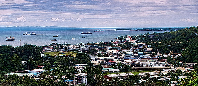
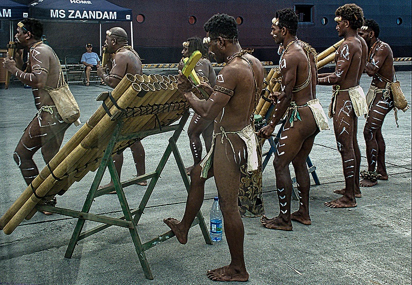
Unfamiliar with this area, we were rather uncertain about what we would do here before the voyage began. We wanted to see as much as we could of the battle sites from World War II but at the time we first looked (pretty early) HAL was only offering two excursions and both were already full. There didn’t seem to be too much to see within walking distance so we put ourselves on a waitlist and crossed our fingers. It took a while but a couple of places opened up on the excursion that looked best to us and it turned out to visit many of the main battle locations, so we were happy about that (although the mostly silent guide was another story). We climbed on the small bus (of which there were several) and headed out onto the main road. But on our way to the bus we passed an interesting music and dance performance by a local group on the dock.
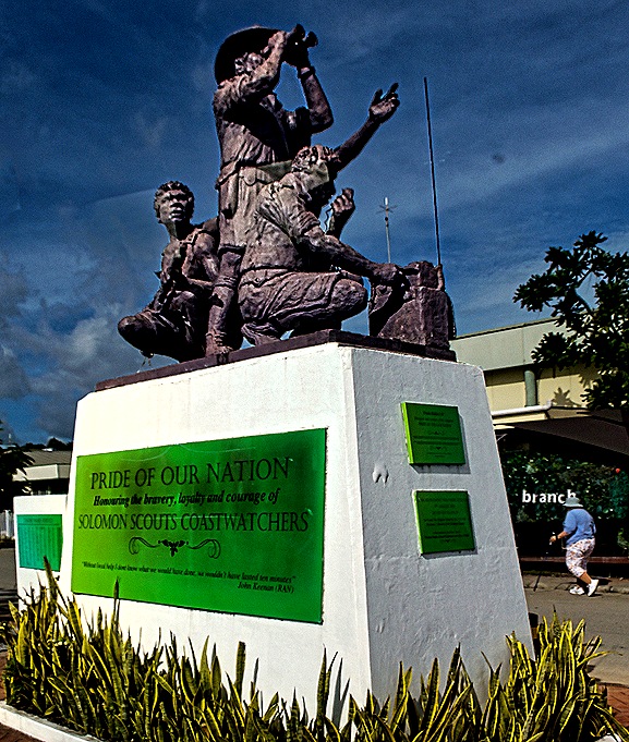
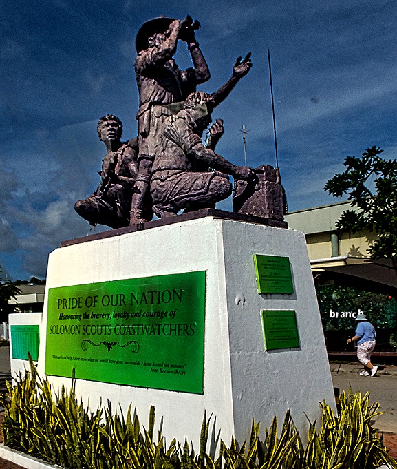
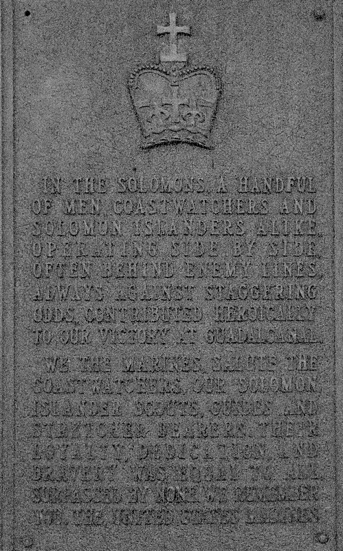
Our first stop was the airport, opened in 1969 on the site of the runway the Japanese were constructing that was the main objective of the invasion of Guadalcanal. Construction began in early July 1942 and was reported to the Allied military by coast watchers, private individuals who stayed hidden near the coast of occupied islands, often behind enemy lines, to radio intelligence to the Allies about Japanese activities. Local indigenous men supporting this activity were called “scouts,” two of whom were instrumental in the rescue of most of the crew of PT 109, the boat commanded by John F. Kennedy, after it sank in these waters during 1943 after being rammed by a Japanese destroyer. On our way out of the port we passed a monument to the coast watchers and scouts, many of whom did not survive the war.
The Allied effort was developed very quickly and the American landings began on August 7, which turned out to be the day after the Japanese celebrated nearing the completion of the runway construction. The American Marines quickly completed the runway so the first Allied airplane could land just five days later on August 12. The Japanese made repeated efforts to retake the field but to no avail. Possession of the only airfield on the island was crucial to the battle, for it enabled the Allies to reinforce and reprovision their troops and prevented the Japanese from doing the same.
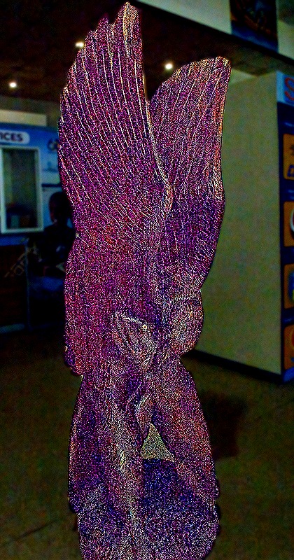
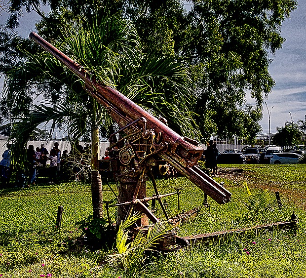
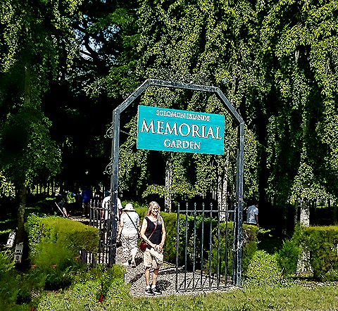
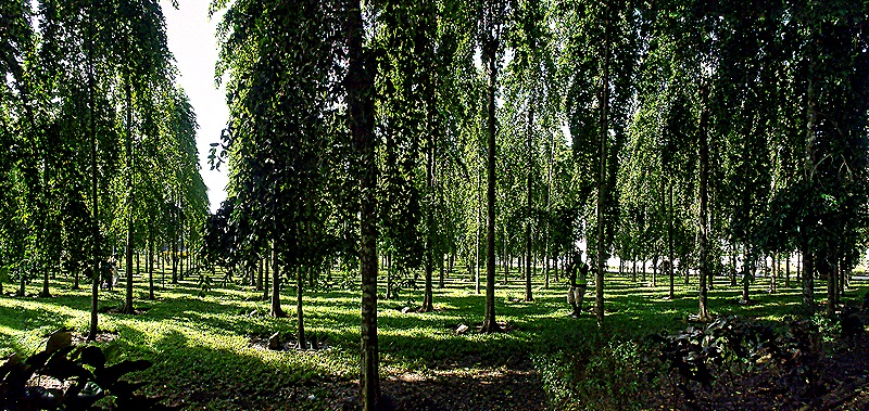
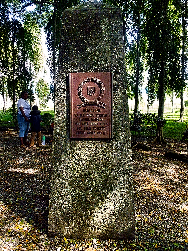
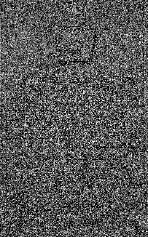
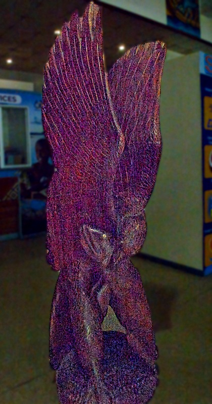
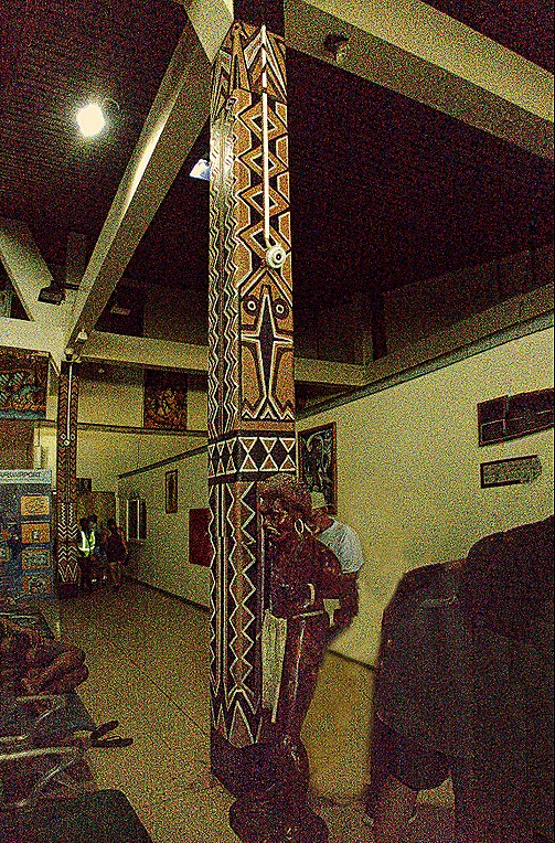
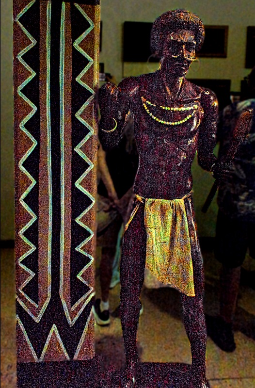
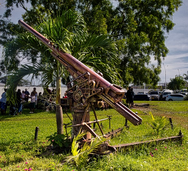
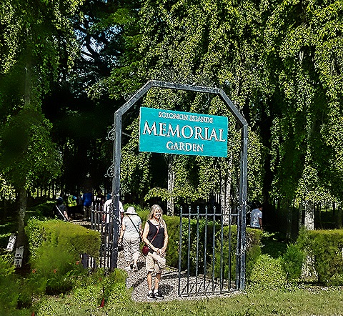
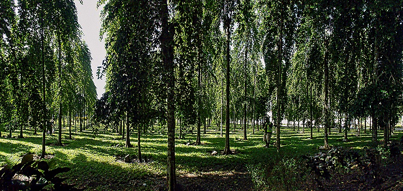
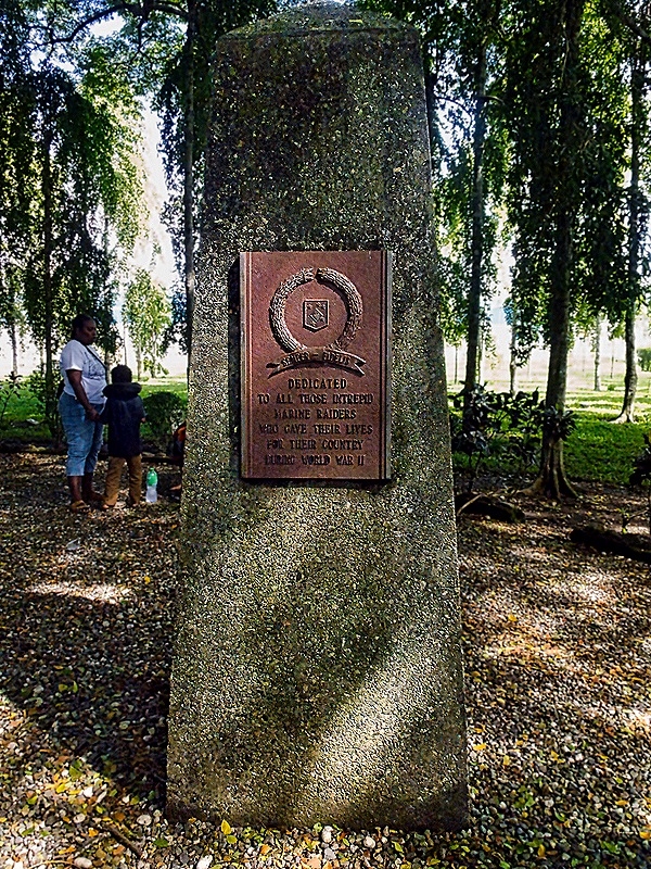
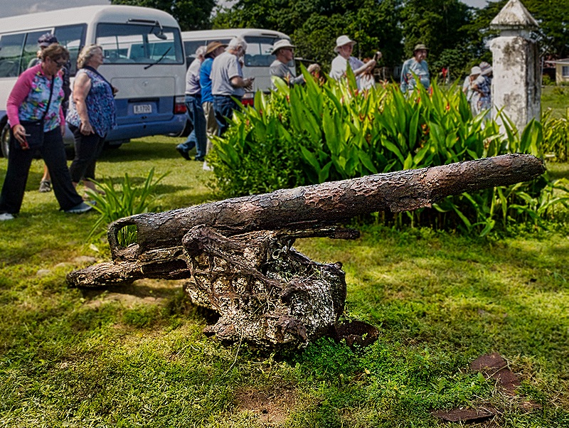
The Americans named the airfield Henderson Field after the first American aviator killed during the battle of Midway. It was abandoned after the war but was renovated and reopened in 1979 and renamed Honiara International Airport. The inside of the airport looked . . . like an airport, although it did have some interesting decorations reflecting local art and culture. Outside we passed an old anti-aircraft gun as we walked to the Memorial Garden. This is a large grove of 500 trees, planted in straight rows like soldiers on parade, some with plaques, that honor the people who died during the Battle of Guadalcanal. In the center are three large stones with plaques dedicated to the US Marines and others who fought in the Pacific war.
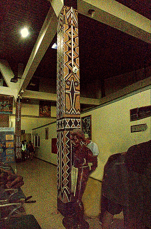
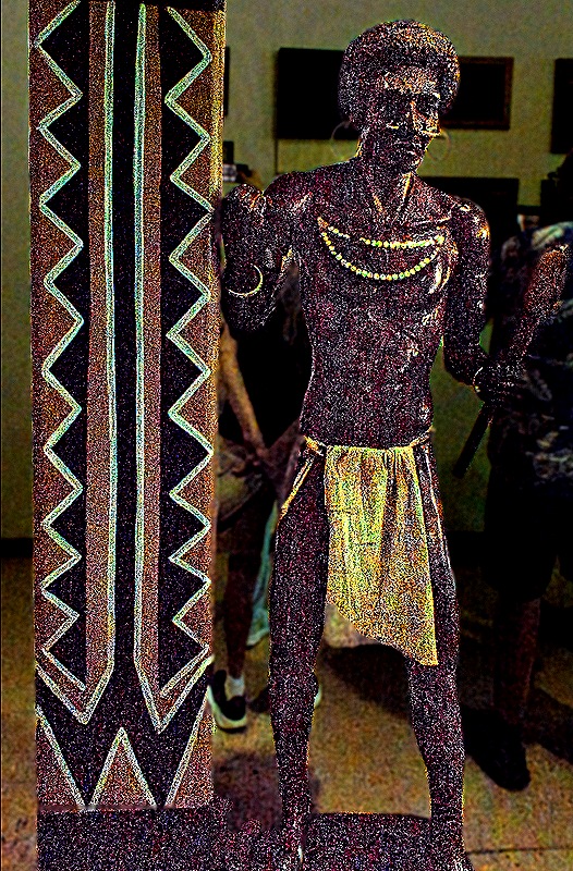
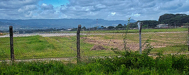
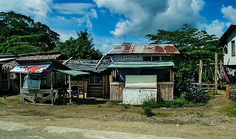
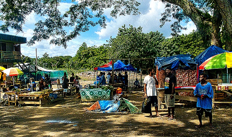
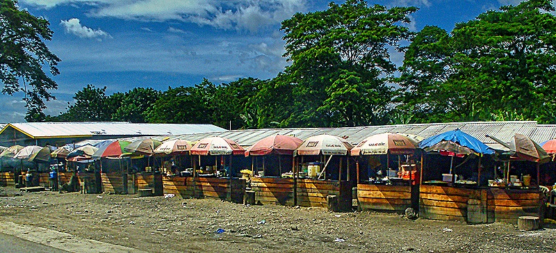
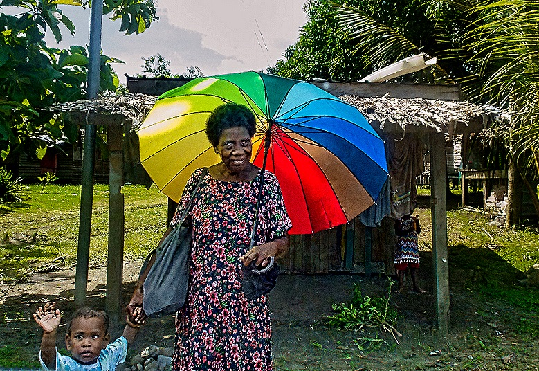
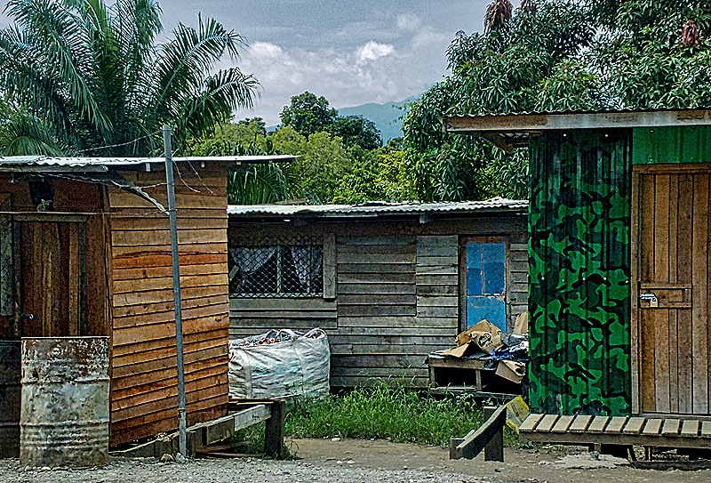
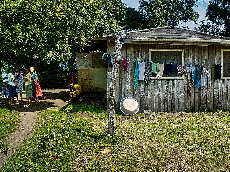
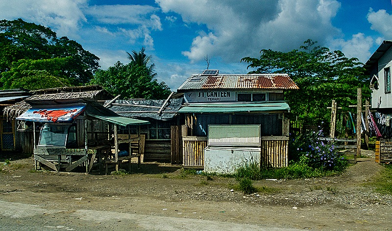
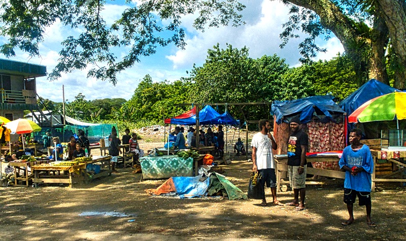
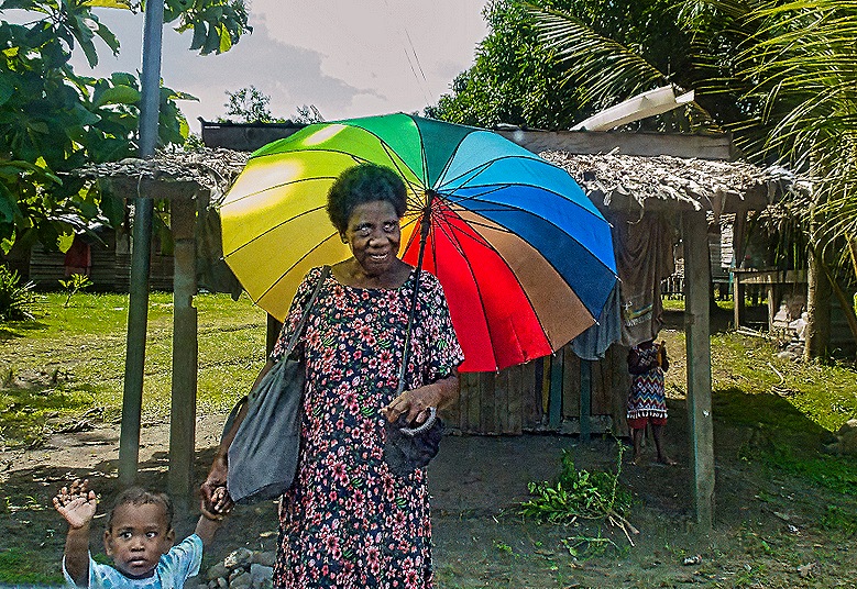
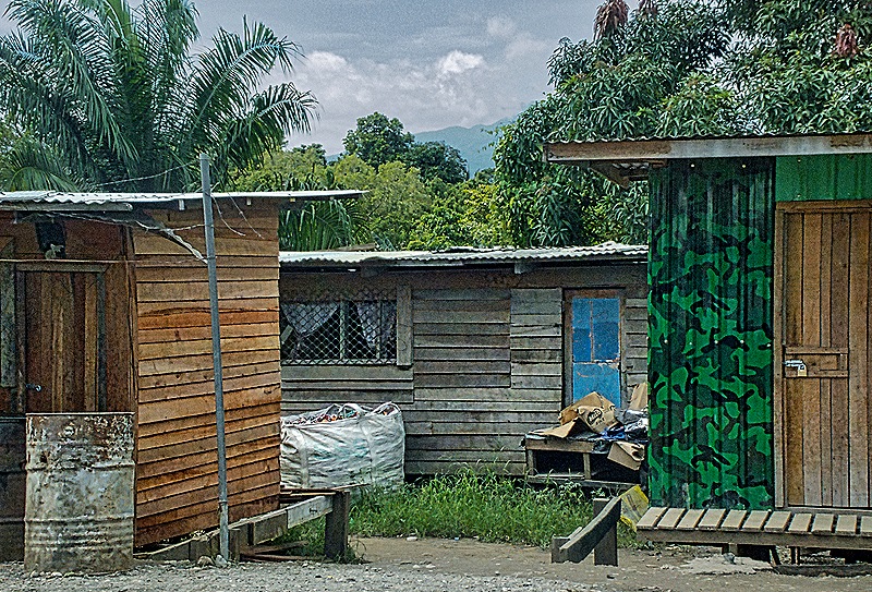
Our next stop was at Red Beach, the site of the first US amphibious landing of World War II. On our way there we drove along what we were told was the old Henderson Field runway built during World War II which is now part of the Honiara airport. It has been upgraded and extended twice during the 80 years since the war. While driving around Guadalcanal we passed many interesting markets and neighborhoods with typical local construction, mostly wooden and many looking somewhat less than sturdy.
At Red Beach (a US military code name) we saw the site of the initial landing in Guadalcanal by the Marines on August 7, 1942. To their surprise there was no Japanese resistance at all. If the area looked then as it does today this was a very good thing because the beach was rather narrow and there was a steep hill to climb to progress beyond it. Reports from coast watchers and US intelligence (which had broken the Japanese military code) indicated there were several thousand Japanese soldiers in the area but most of those turned out to be Korean laborers rather than soldiers. They dispersed into the jungle to await the departure of what they thought were raiders, but the Marines were there to stay.
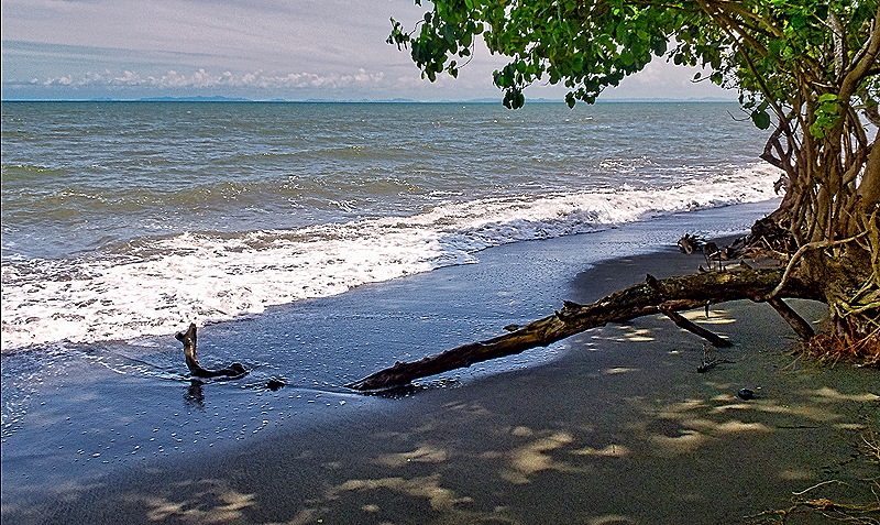
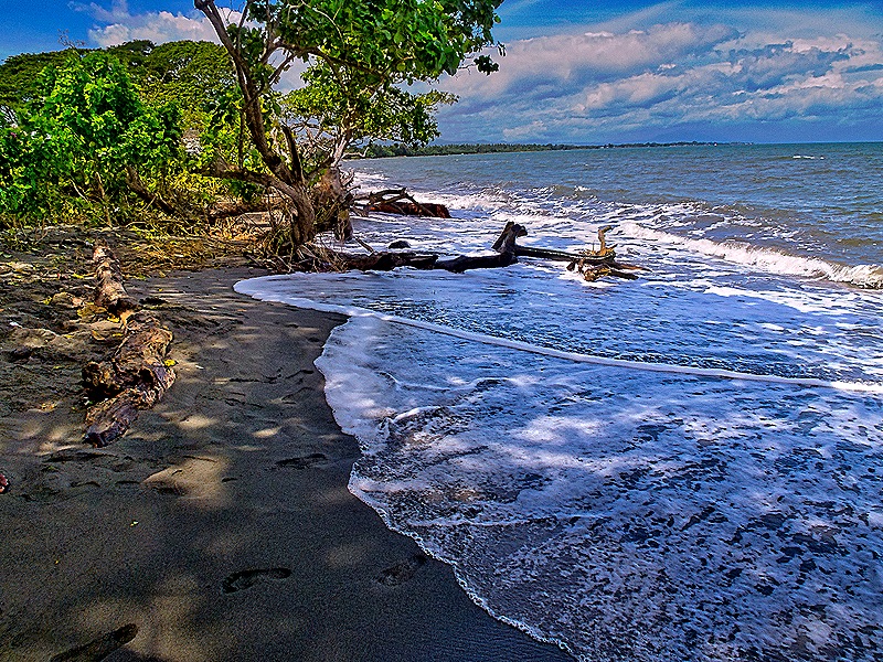
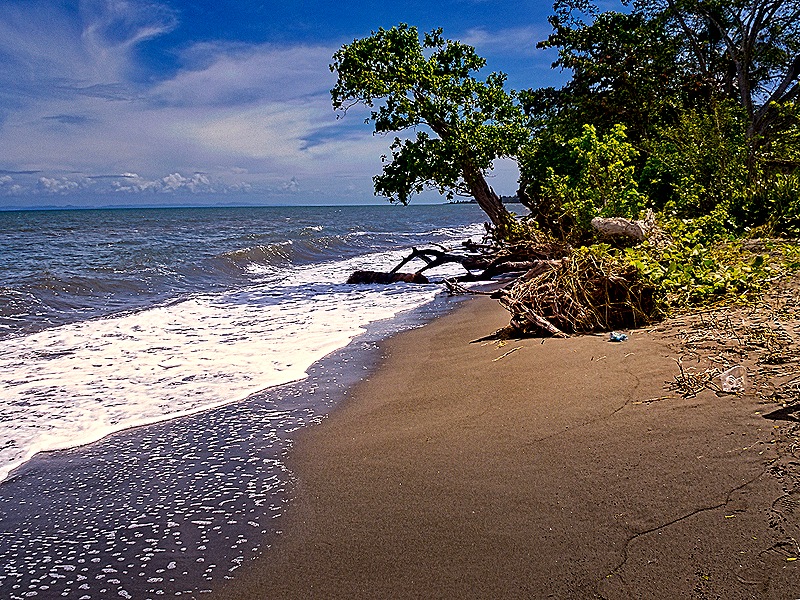
After landing the Marines found themselves in a precarious position because losses during a furious and destructive naval battle the next night led to withdrawal of the ships that were supposed to be landing more troops and supplies of food and ammunition. Two days after landing the Marines captured the Japanese air field along with the food and provisions of the soldiers and construction crews there who dispersed into the jungle when they arrived. Within a week of the landings the field was ready to receive airplanes. Just in the nick of time too because even with the captured Japanese food they only had enough for another week, despite rations having been reduced to two meals a day.
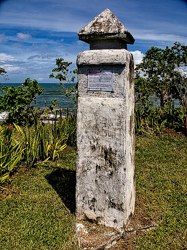
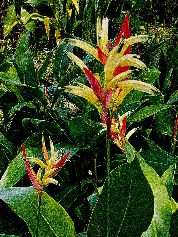
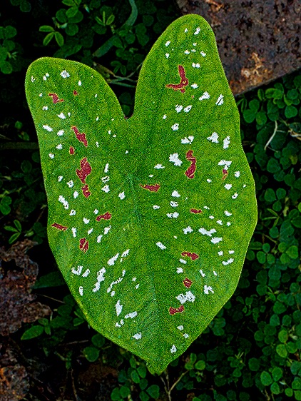
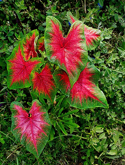
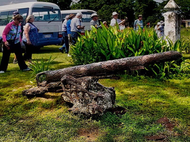
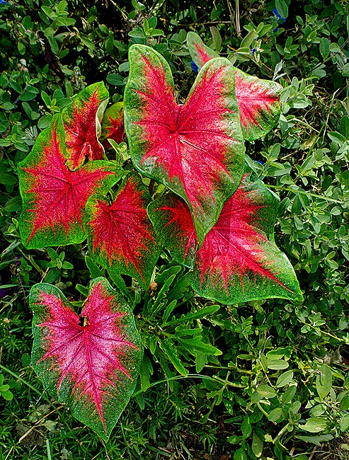
On the hill above Red Beach is a small monument marking the Marine landings and also an old rusted Japanese anti-aircraft gun. Nearby is a village whose people appeared to have been to church the we visited, a Sunday. Some nicely dressed little girls circulated among the visitors selling flowers. The area was full of beautiful flowers and other flora.
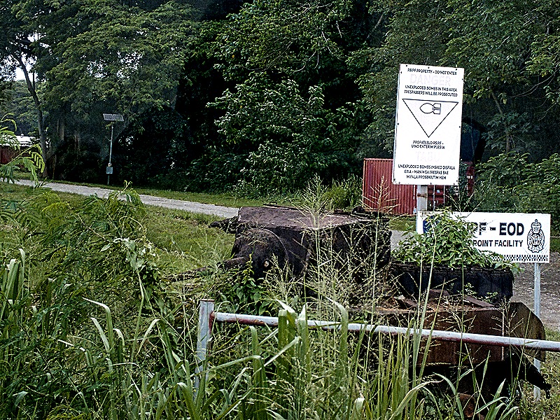
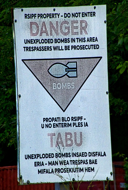
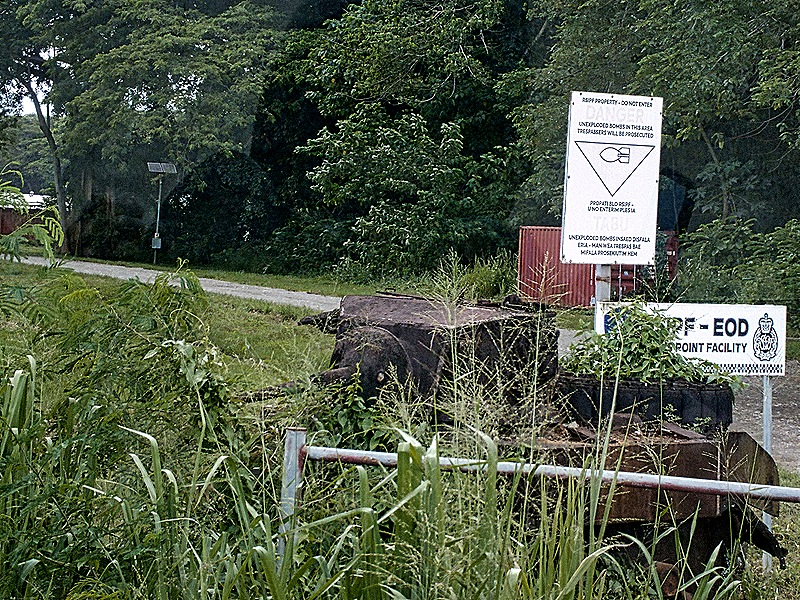
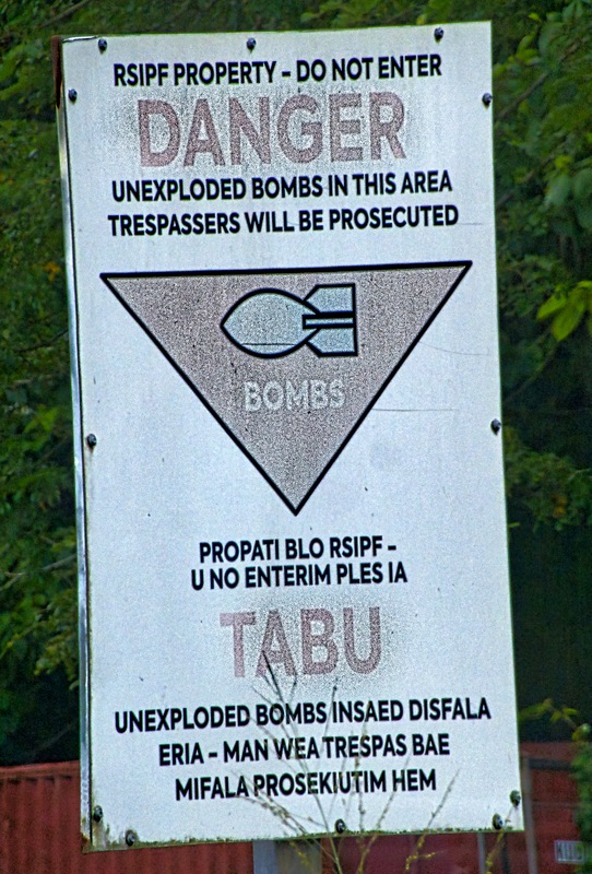
The first Japanese attempt to recapture the air field took place two weeks after the initial landing, at a battle mistakenly named for the Tenaru River (it turned out to be Alligator Creek instead). The overconfident Japanese unit was almost completely destroyed. This area was called “Hell’s Point” because of all the Japanese bodies spread out over the beach. Overlooking this battle was a Japanese ammunition dump which the Americans fortified and then used as their own fuel and ammunition dump. In November of 1943 a grass fire ignited the ammunition dump causing a fire that raged for three days. Today this area is still off limits to the public because it is thought to be full of unexploded ordnance. We stopped at the entrance, but just for photos because you can’t go through the gate. An old military vehicle is permanently left by this gate holding signs that say “Danger,” “Bombs” and also “Tabu,” which means forbidden in the indigenous Pacific languages (sometimes written “Kapu” or “Tapu” or “Taboo”).
Henderson airfield continued to be the primary Japanese target on Guadalcanal. The Americans had established an armed perimeter of Marines to protect it from further attempts by the Japanese to retake it. Sure enough, about a month after the initial US landings the Japanese landed a force of about 6,000 soldiers transferred from Rabaul in New Guinea to retake the airfield, mistakenly believing there were only about 2,000 US Marines on the entire island. Their intelligence was, however, faulty: there actually were more than 12,000 US troops at and near the airfield.
The battle began when the Japanese attacked at about 11:30 PM on September 12 and over the ensuing two nights 830 Japanese and a little more than 100 Marines were killed. The American troops were arrayed on and in front of a formidable ridge of very steep hills 80 to 120 feet high and the Japanese attacked generally from the South and East, somewhat weakened by days transiting the jungle and then crossing the Lunga River. The Japanese charged several times up the hills and there was a good deal of hand to hand fighting, both below and on top of the ridge. At one point a group of Japanese soldiers actually made it past the perimeter to a secondary runway at the air field but were stopped by Marine engineers stationed there as they tried to climb into US airplanes to destroy them.
The Marines defending the ridge were under the command of Colonel Merritt Edson, who was awarded a Congressional Medal of Honor, and ever afterward it has been known as Edson’s Ridge (also Bloody Ridge). We visited both of the primary positions (Hill 80 and Hill 123) on this ridge and we can tell you we would not have wanted to be a soldier required to charge up those steep hills with enemy soldiers firing down at us. The fighting didn’t end with this battle, of course. But finally in February, 1943, it did end when the Japanese abandoned Guadalcanal and withdrew all their troops.
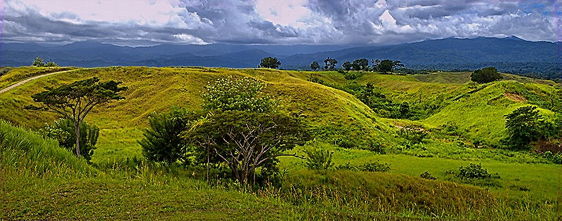
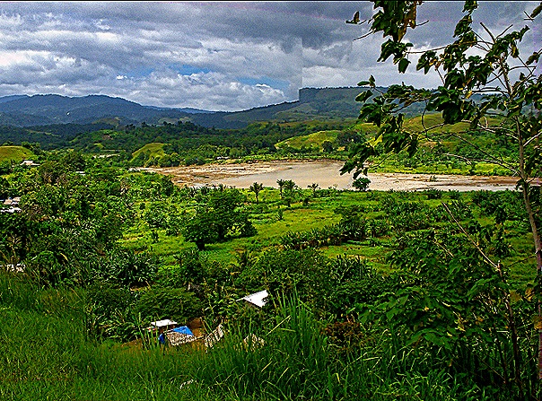
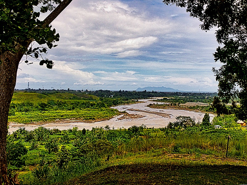
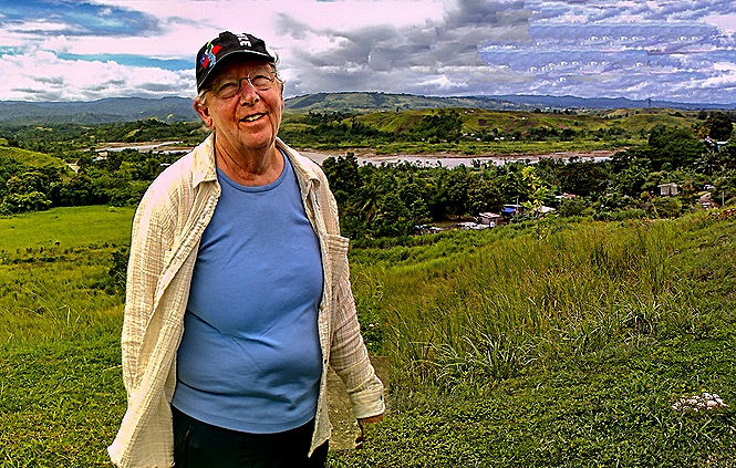
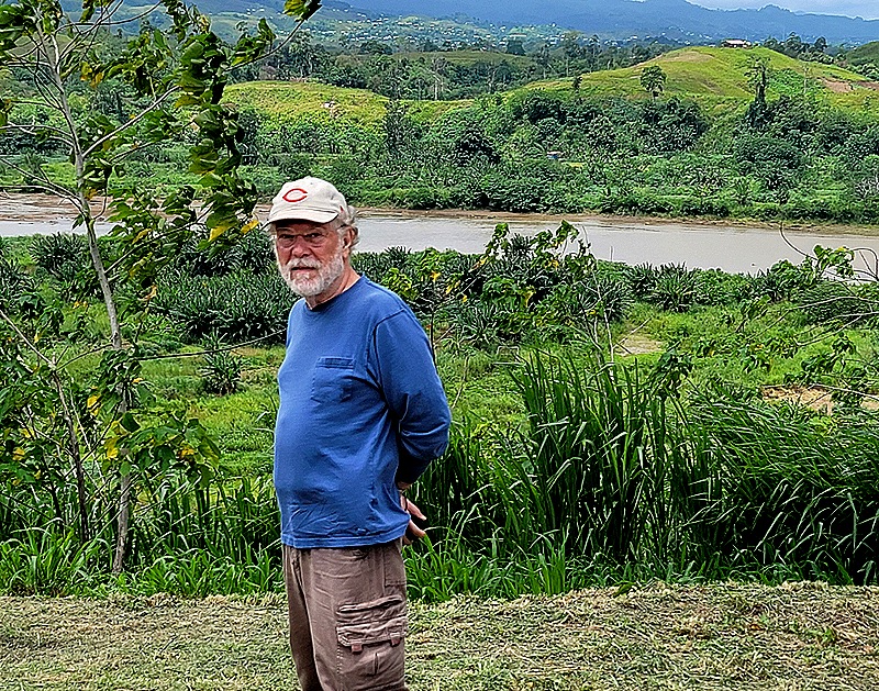
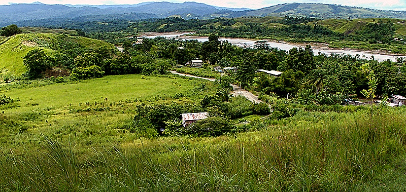
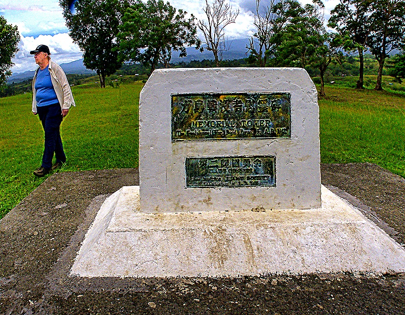
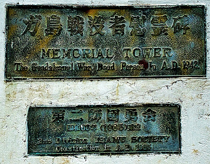
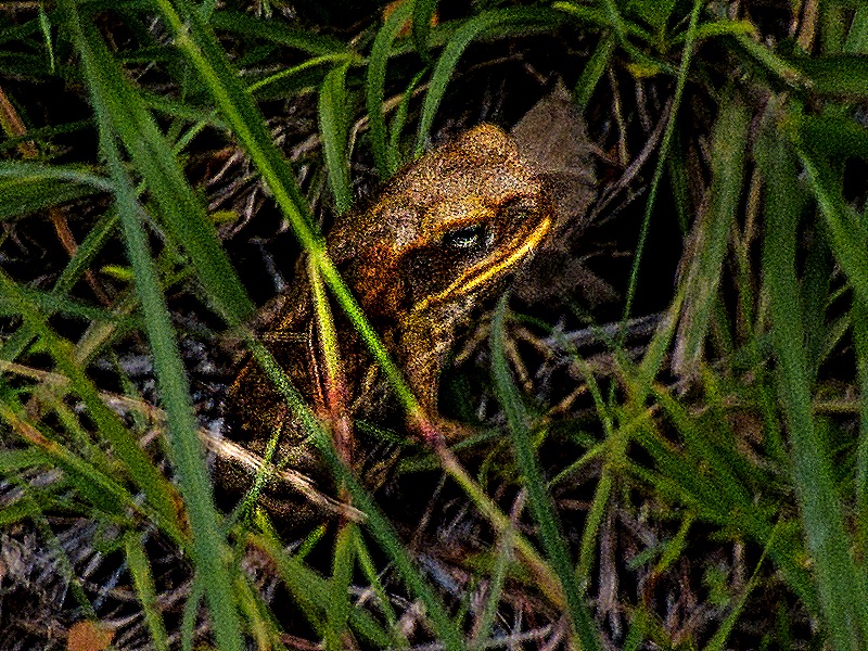
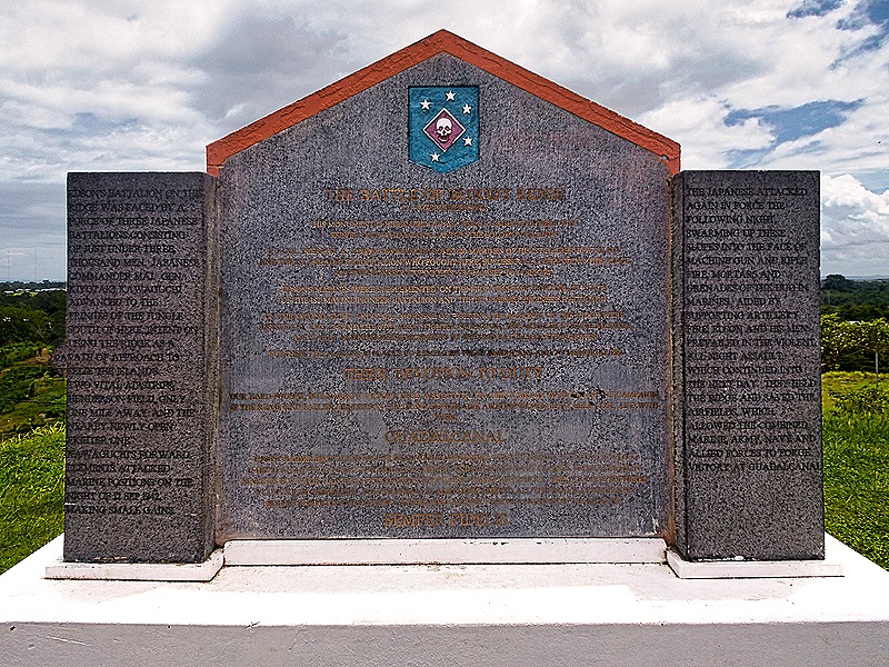
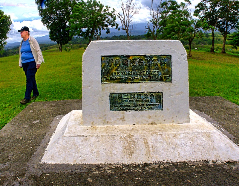
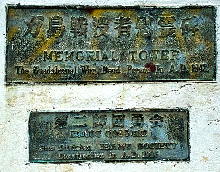
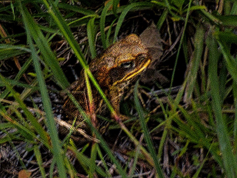
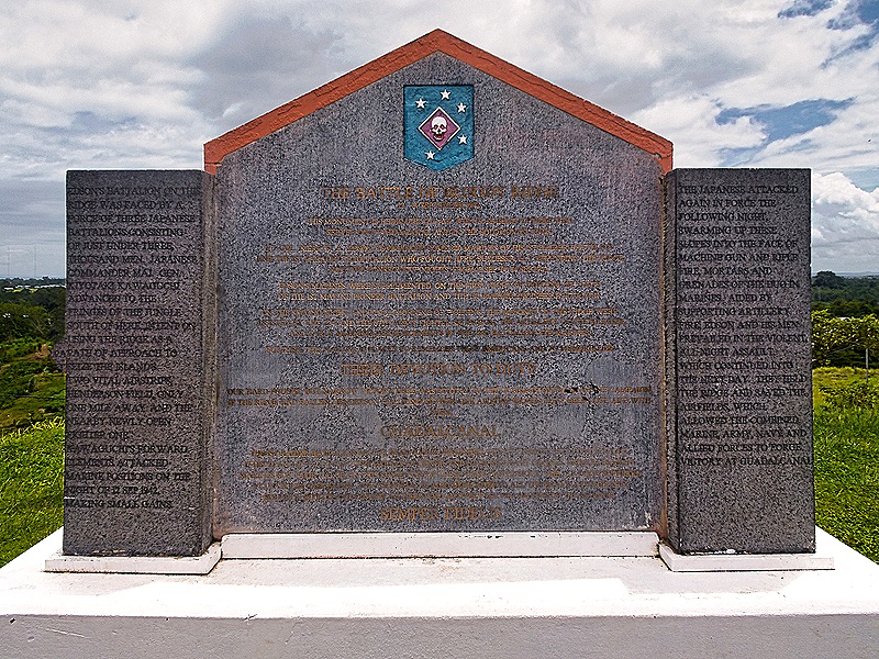
On the top of the ridge we saw two memorials. The first was a small white monument commemorating “The Guadalcanal War Dead” apparently placed in 1985 by a Japanese organization. The other was a six foot tall US memorial to “THE BATTLE OF BLOODY RIDGE.” It says “THIS MONUMENT IS DEDICATED TO ALL THE U.S. MARINE RAIDERS WHO SERVED ON GUADALCANAL AND IN THE SOLOMON ISLANDS.” On the side panels is a summary of the battle. The inscription is in gold on gray granite and the sun was behind the monument, so the inscription isn’t readable in the picture. We also encountered a tiny bit of wildlife on top of the ridge.
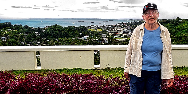
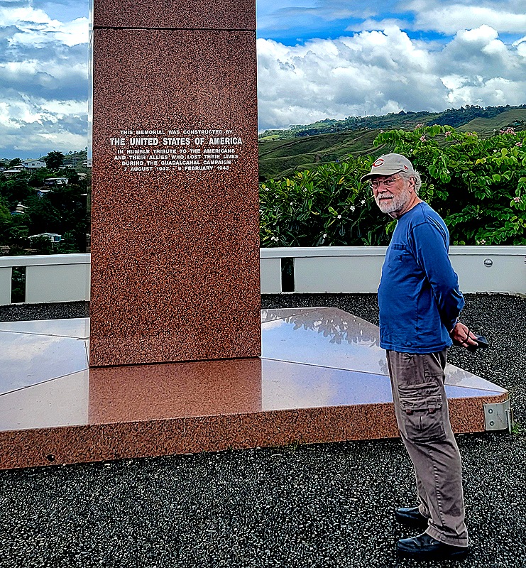
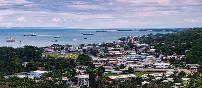
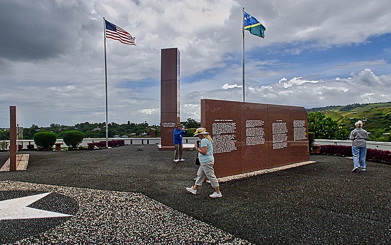
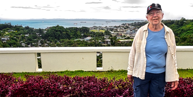
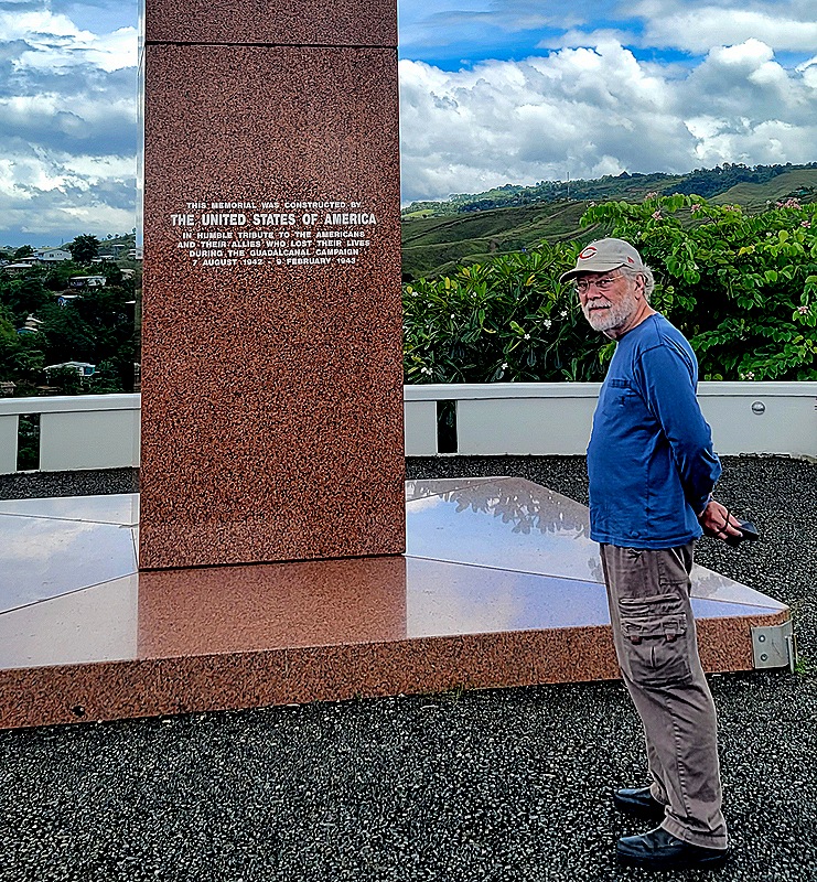
On August 7, 1992, the 50th anniversary of the landing at Red Beach, the United States dedicated a large memorial to the Americans and allies who were killed during the 6 months of the Guadalcanal campaign. A memorial ceremony is held here every year on August 7. The memorial is located on a hill just south of Honiara and its view extends to the harbor where our ship was docked and beyond into what is called Ironbottom Sound, the sea on this side of the island where more than 50 ships from both sides were sunk during the Guadalcanal campaign. The memorial has a number of freestanding red marble walls, each of which points to where a battle was fought and contains an account of that battle.
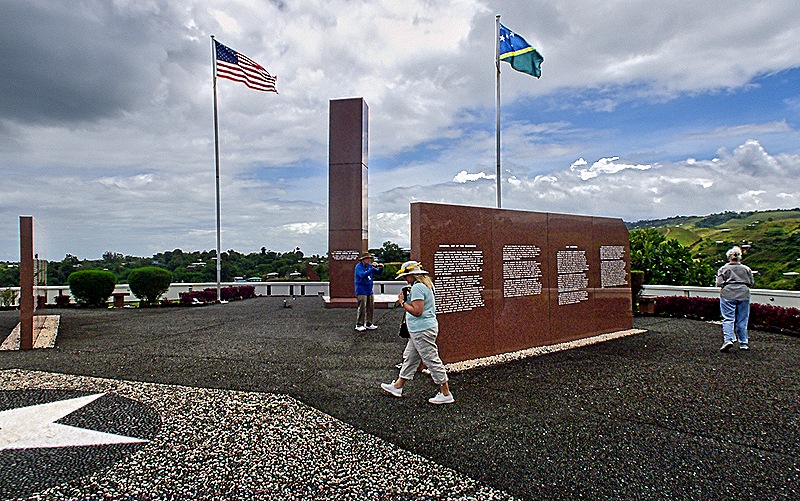
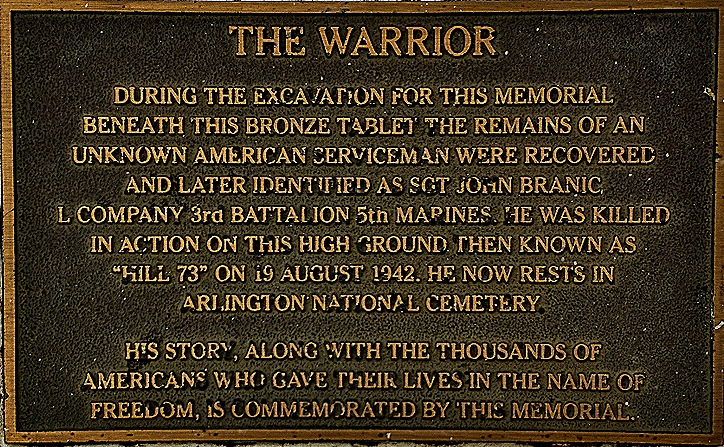
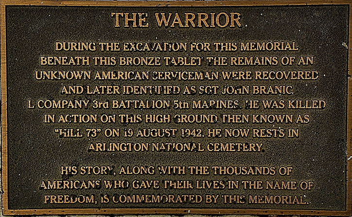
The white star in the first picture just above marks the spot where the remains of an unknown Marine were found during the construction of the memorial. He was identified later as Sgt John Branic and he is now interred in Arlington National Cemetery. There is a bronze plaque in the middle of the white star marking the spot where he was found. This was our last stop on this excursion, which more than met our original expectations, so we drove back to the ship and sailed away before dinner.


Leave a Reply